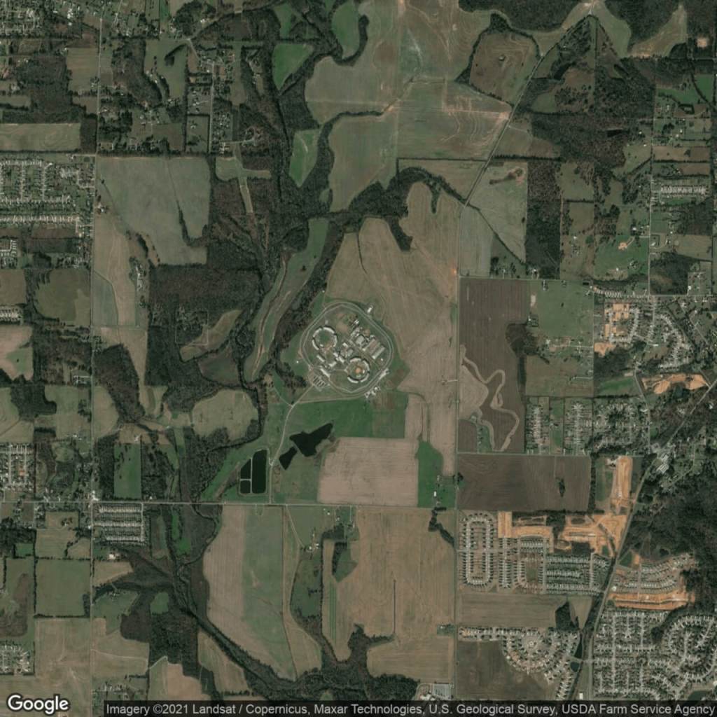
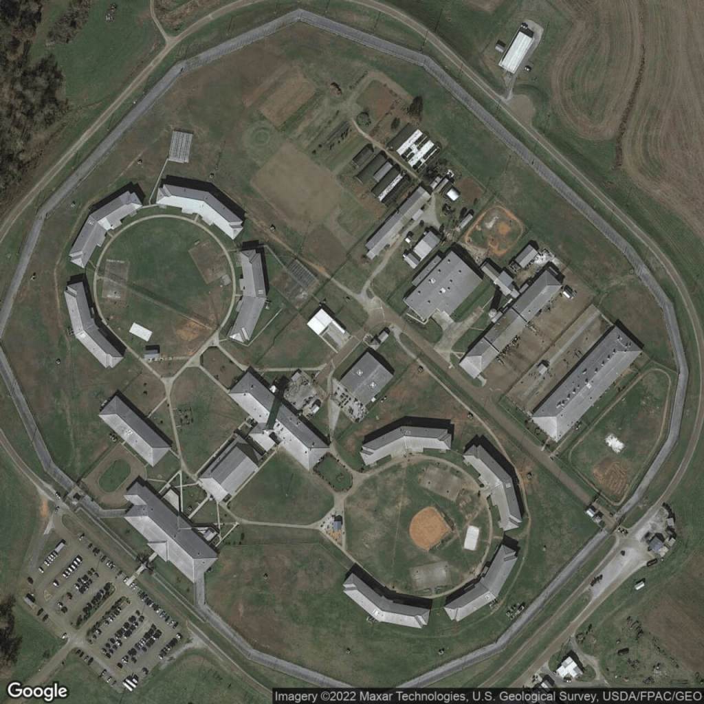
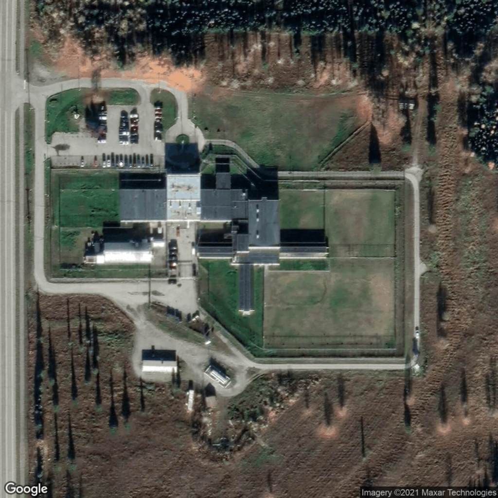
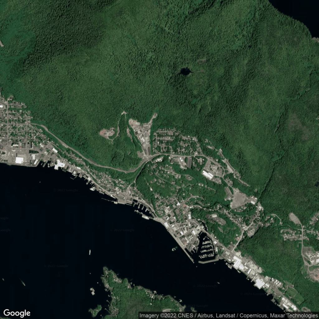
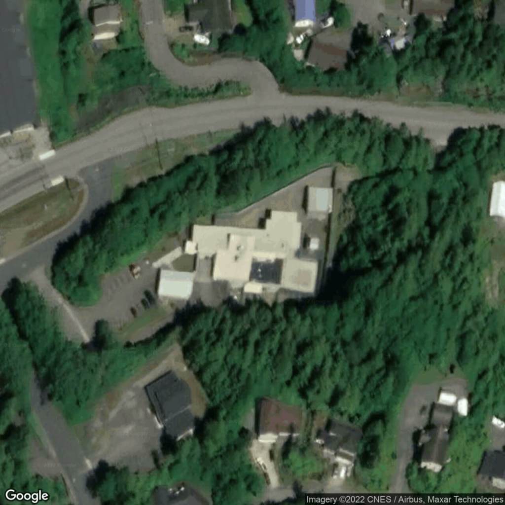
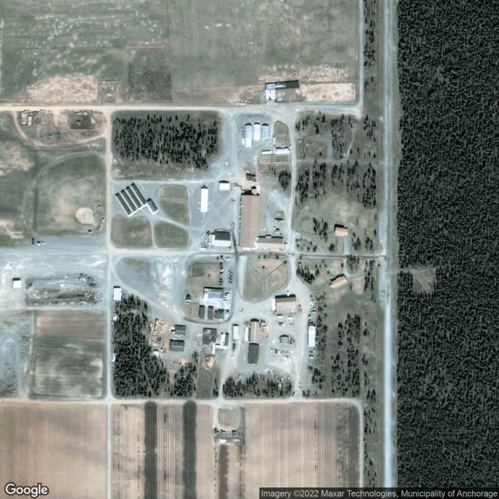
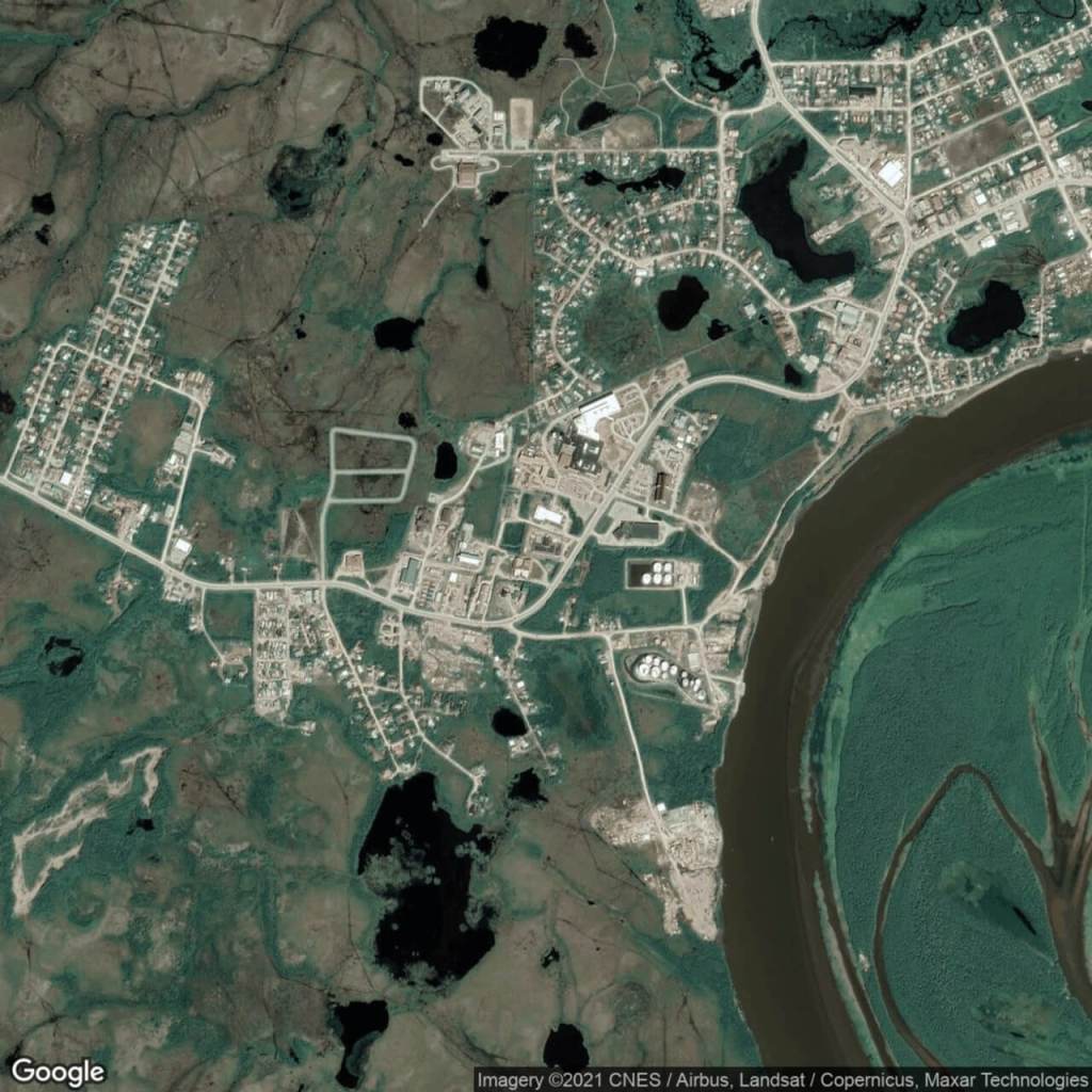
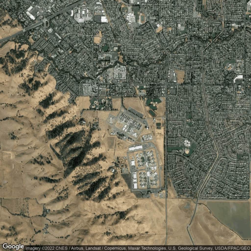
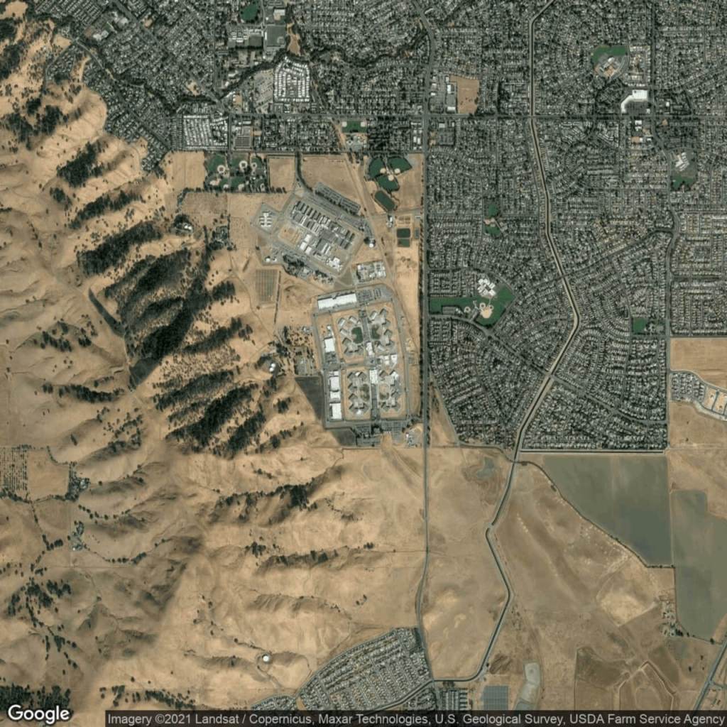
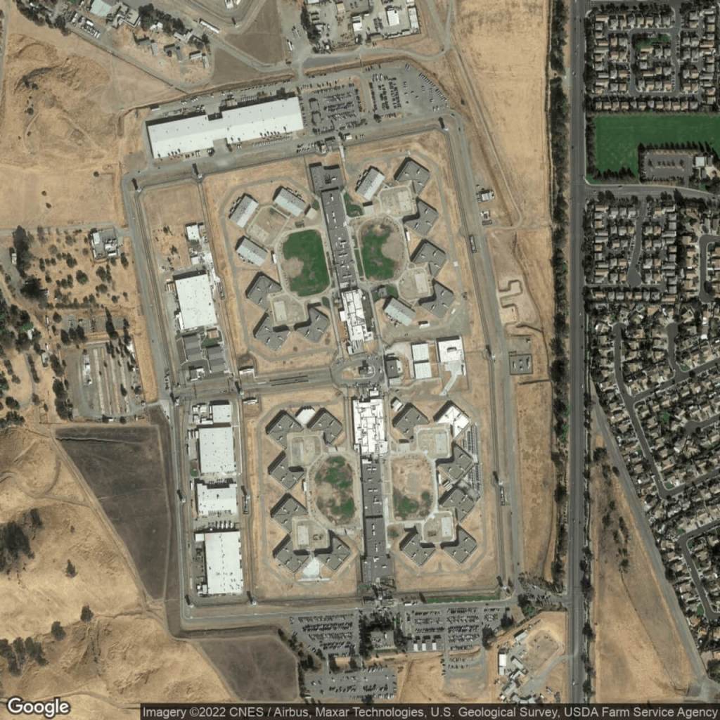
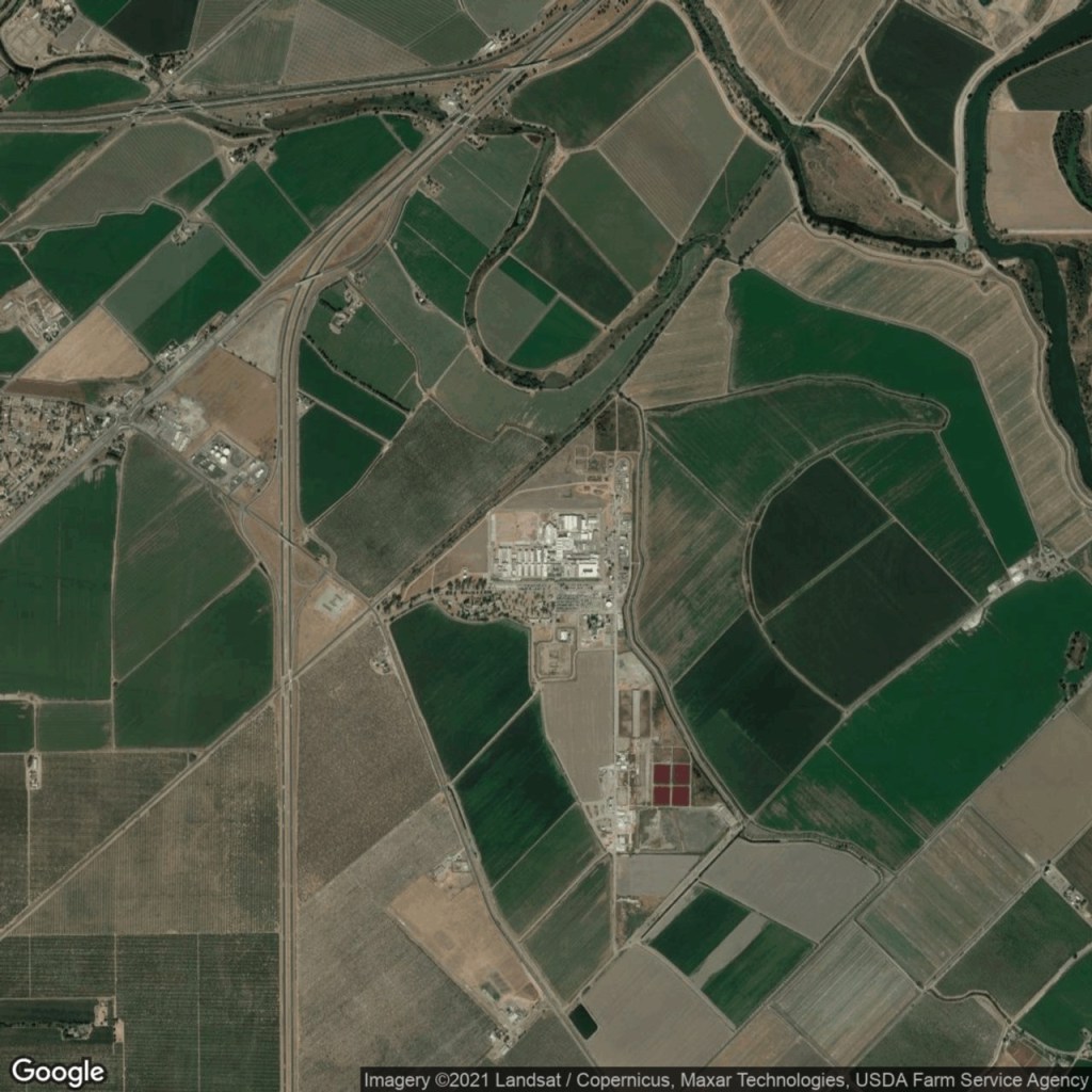
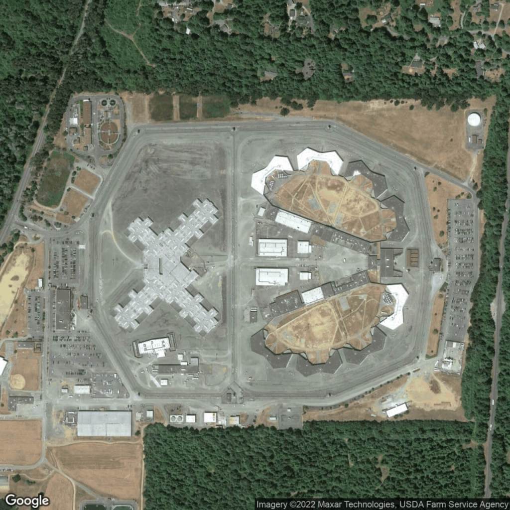
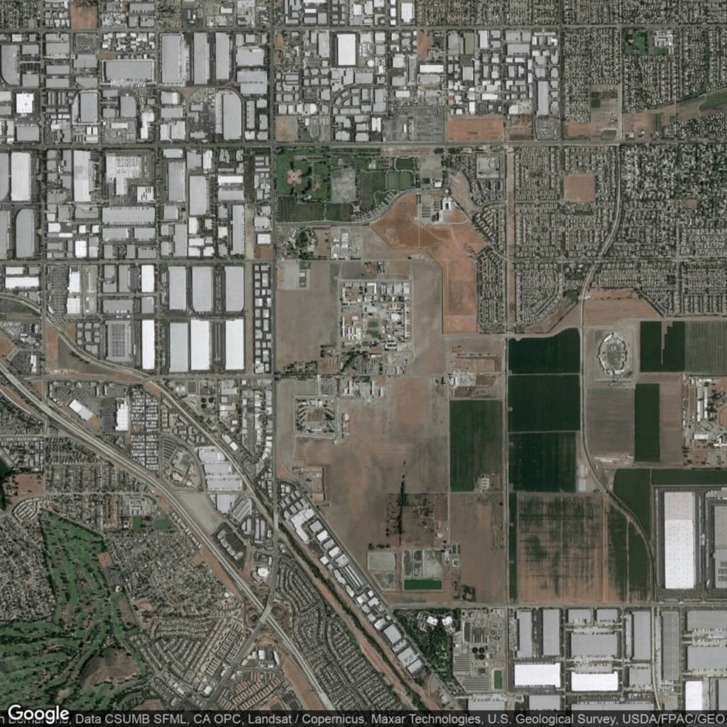
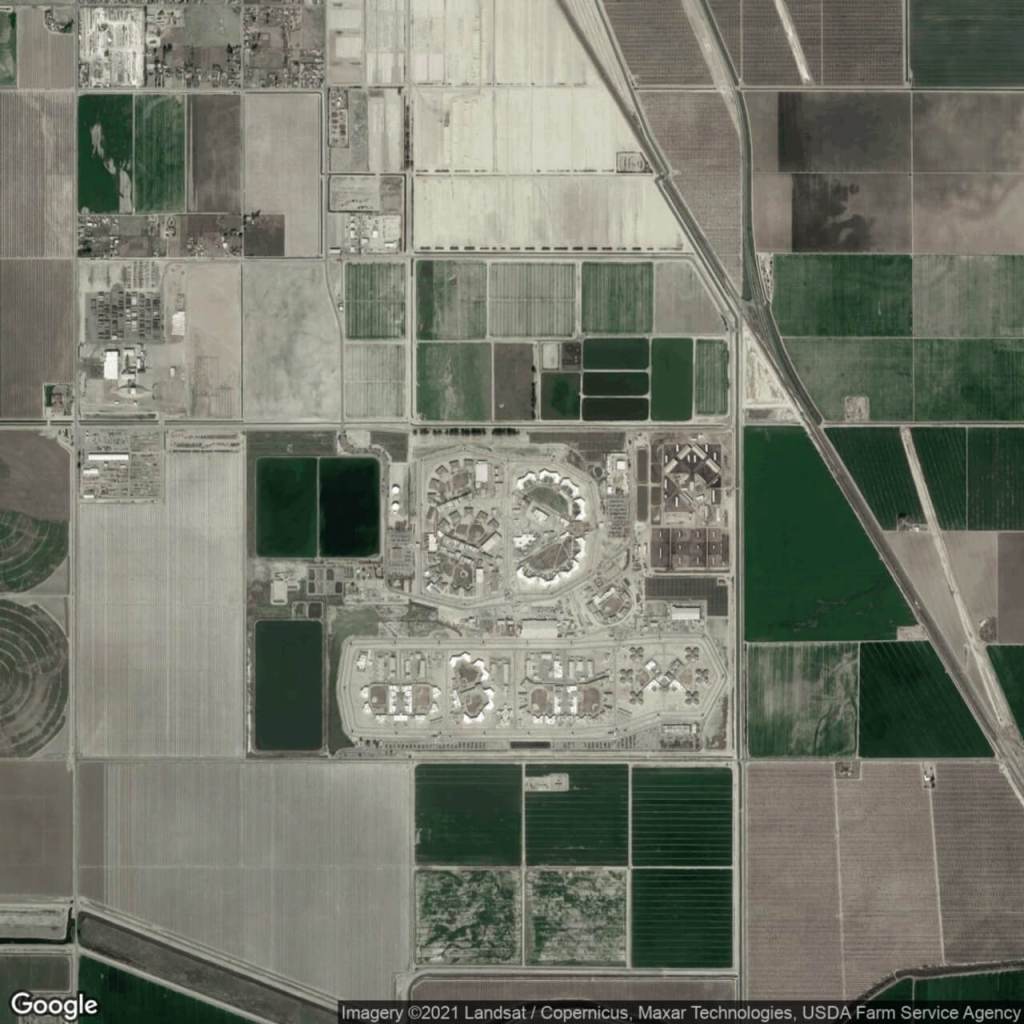
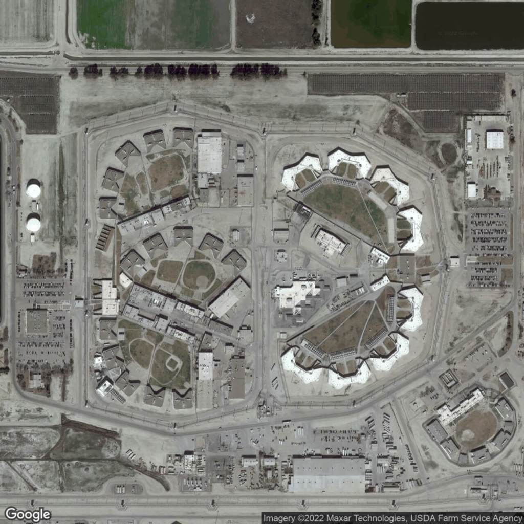
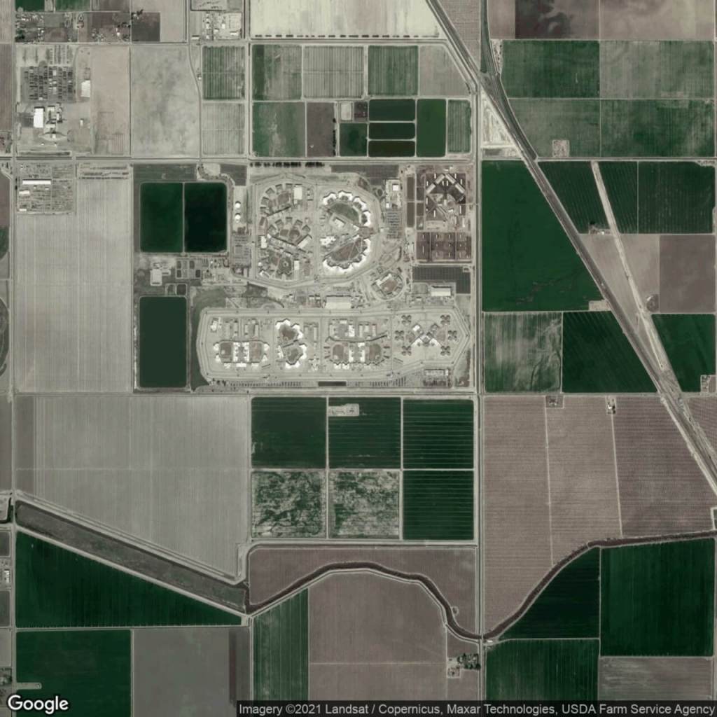
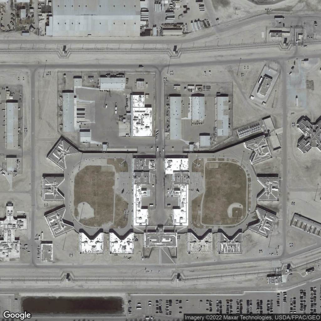
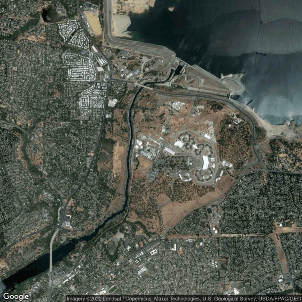
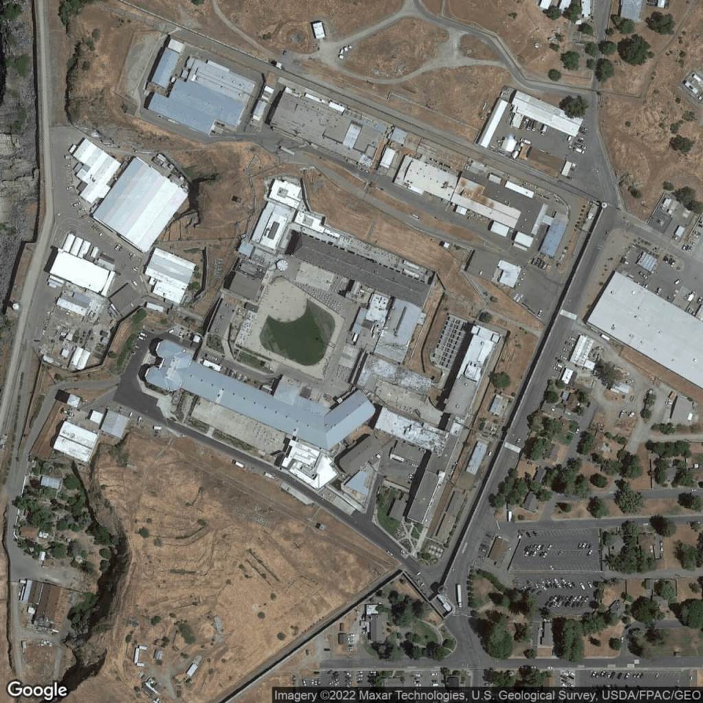
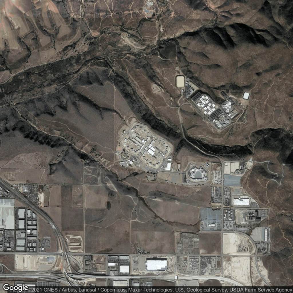
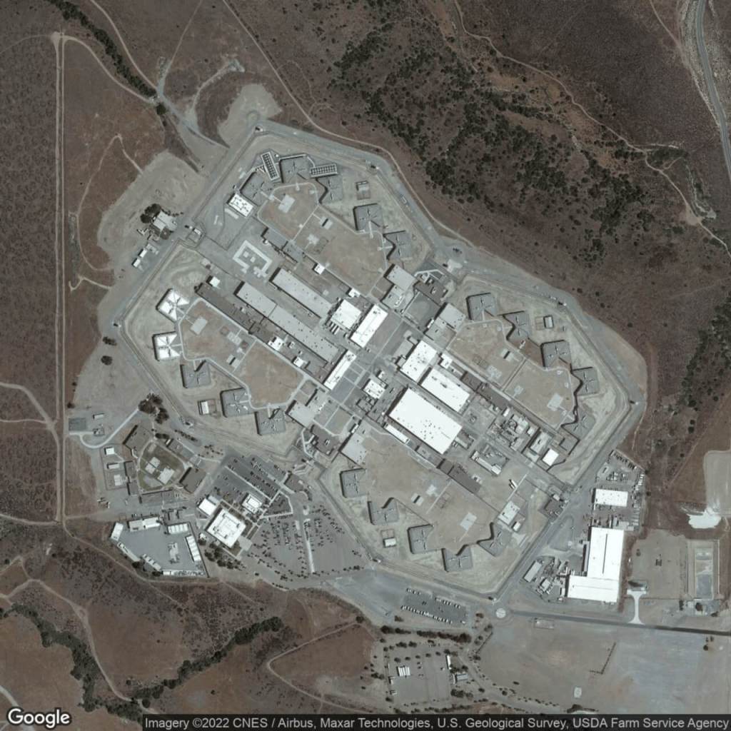
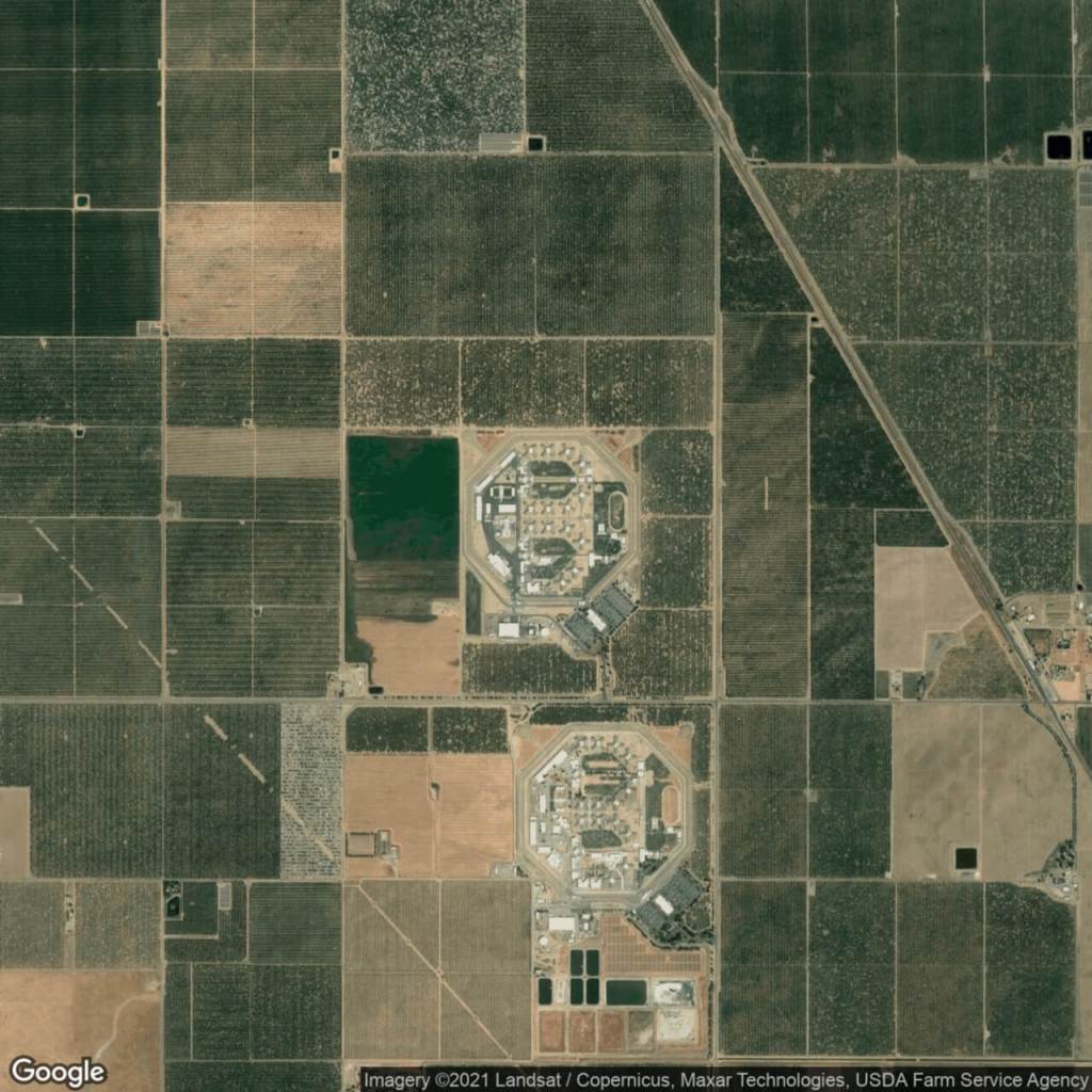
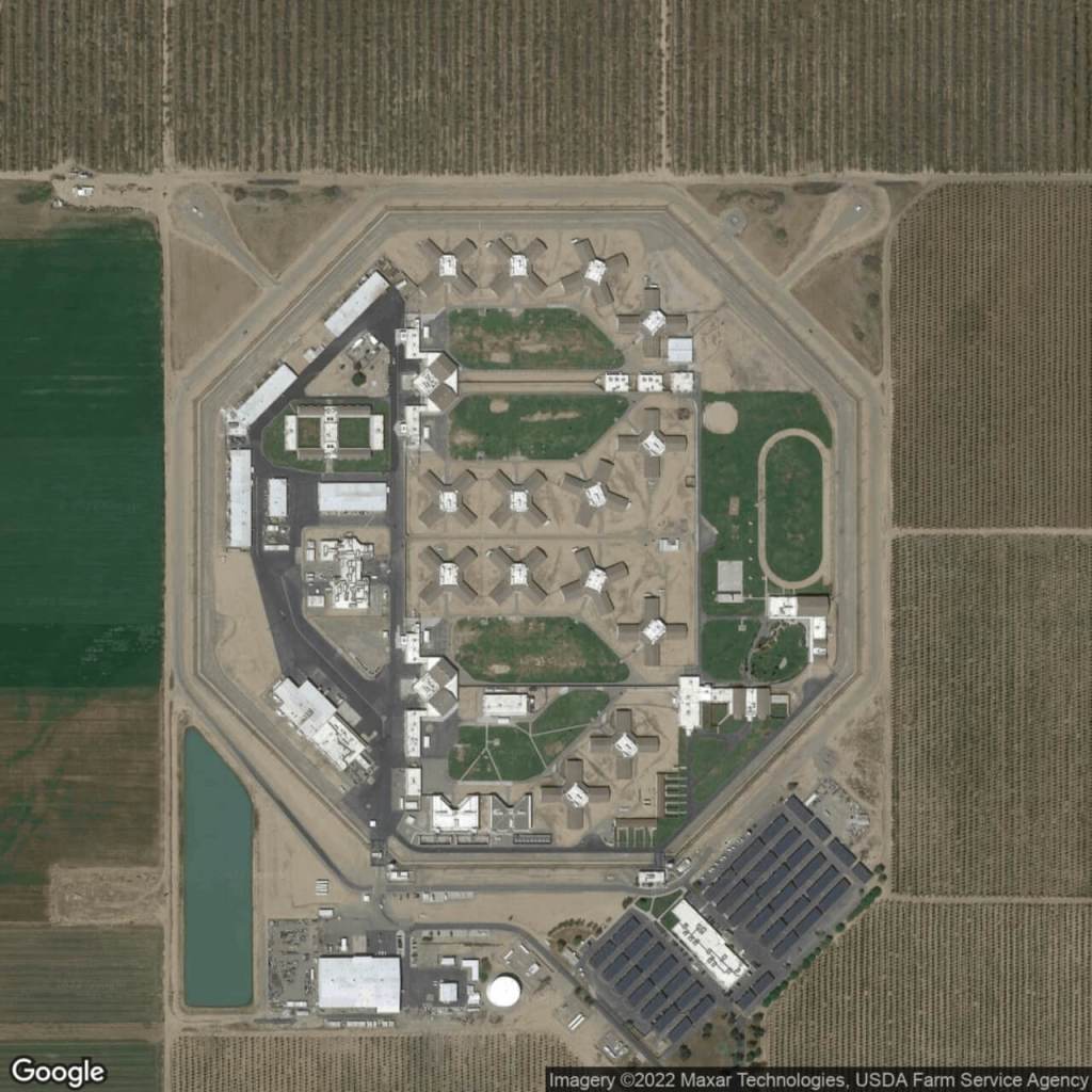
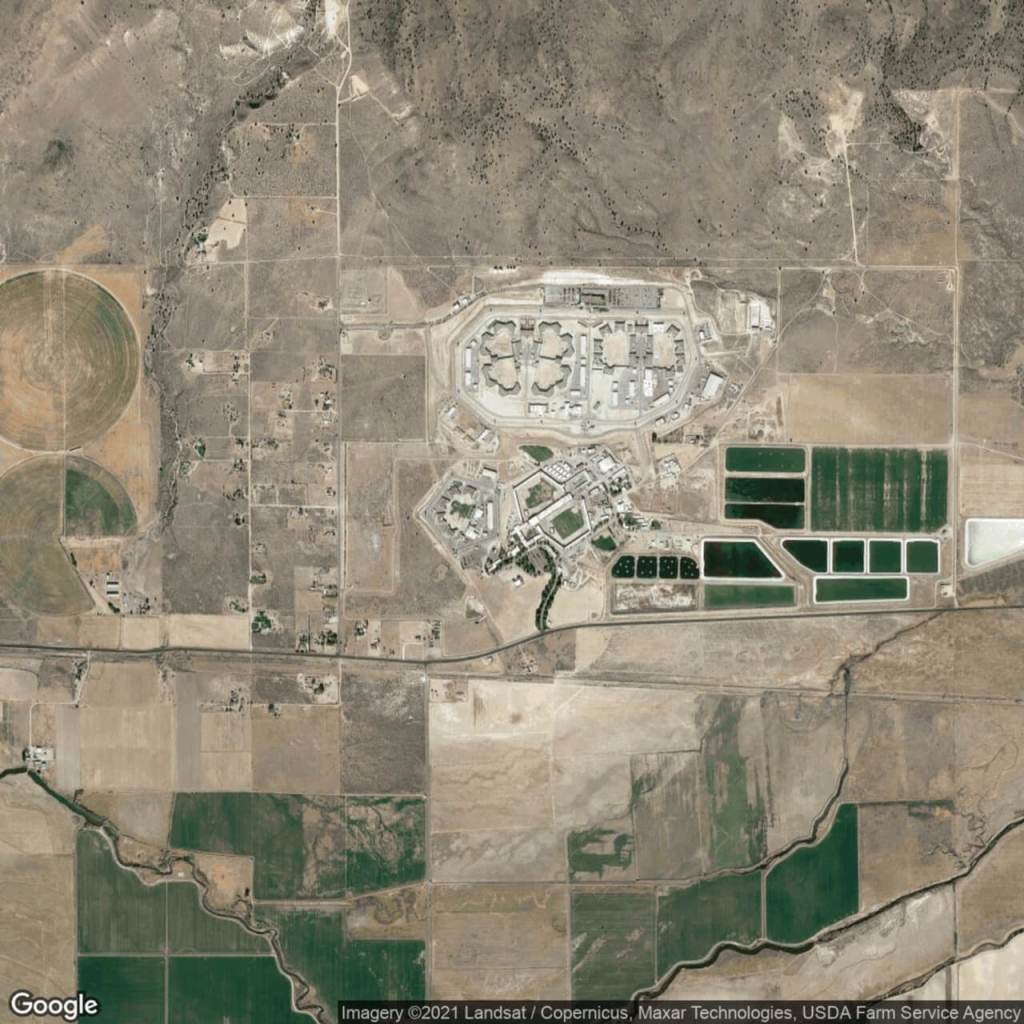
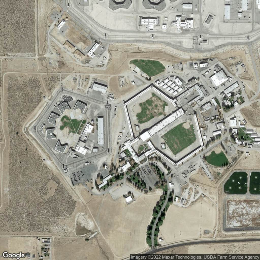
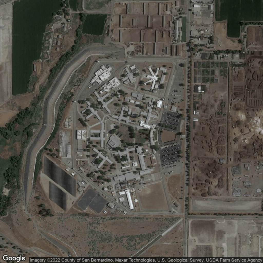
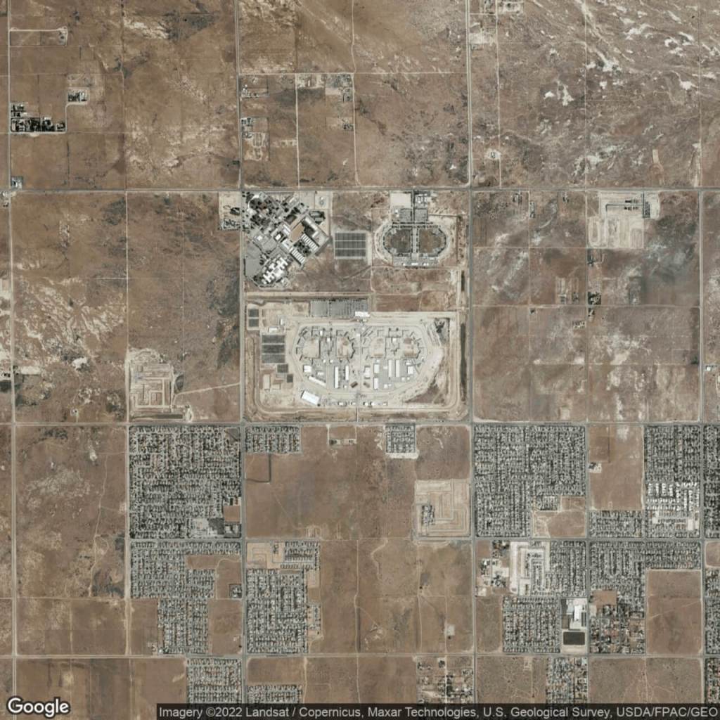
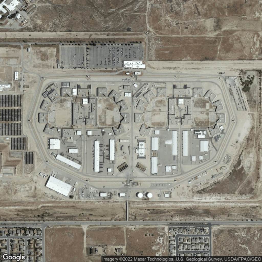
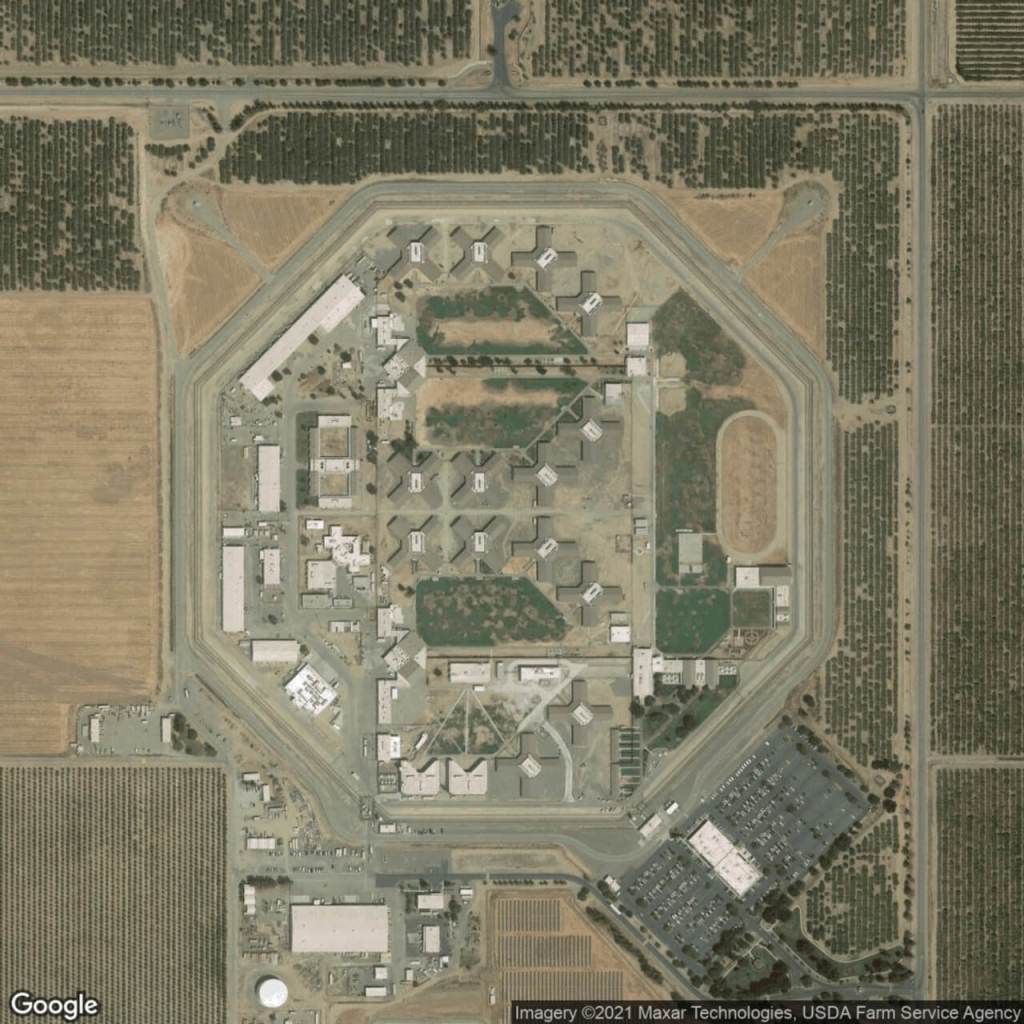
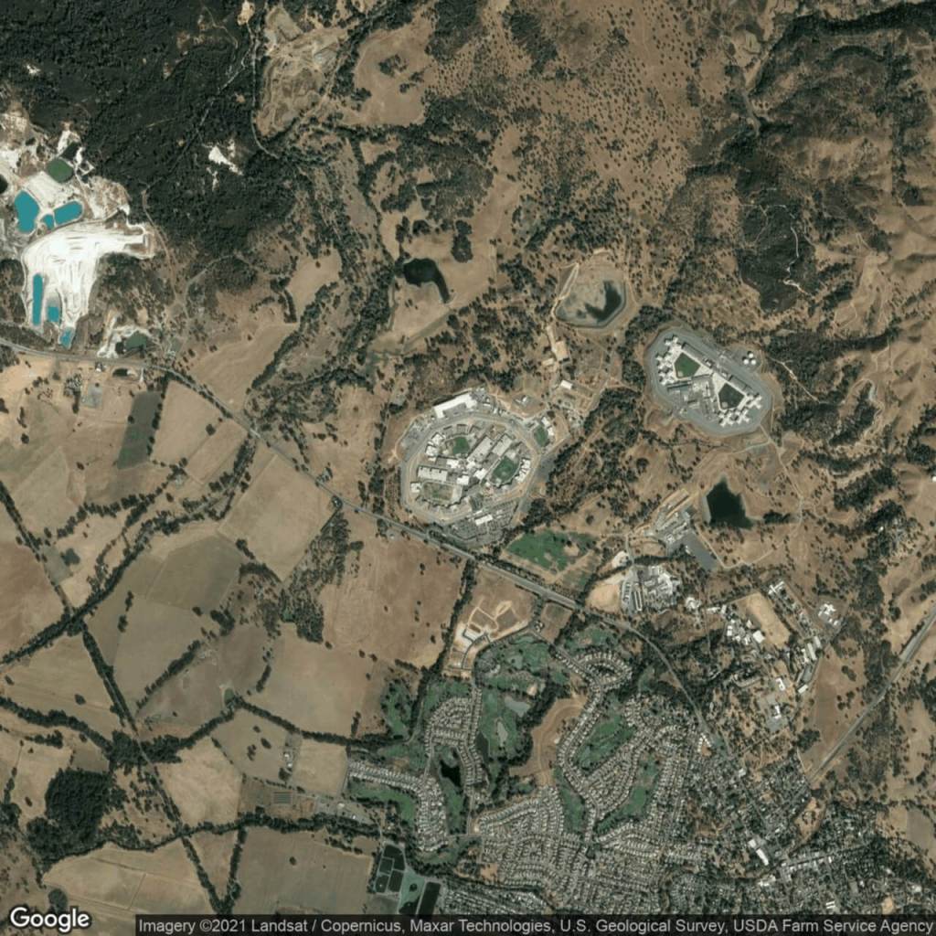
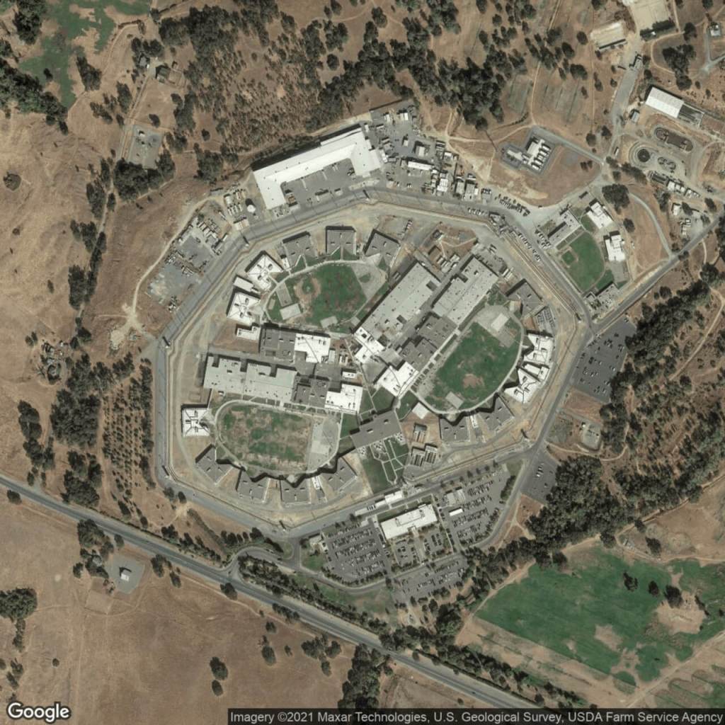
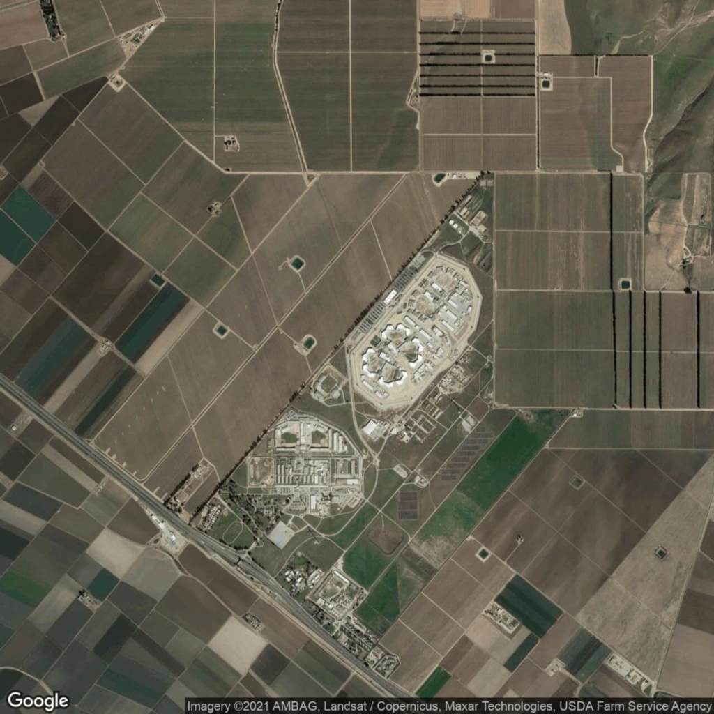
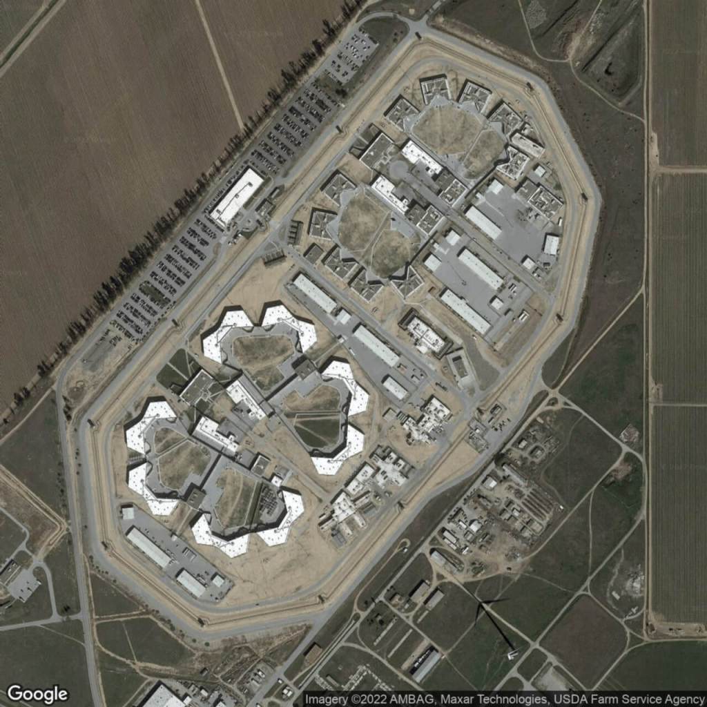
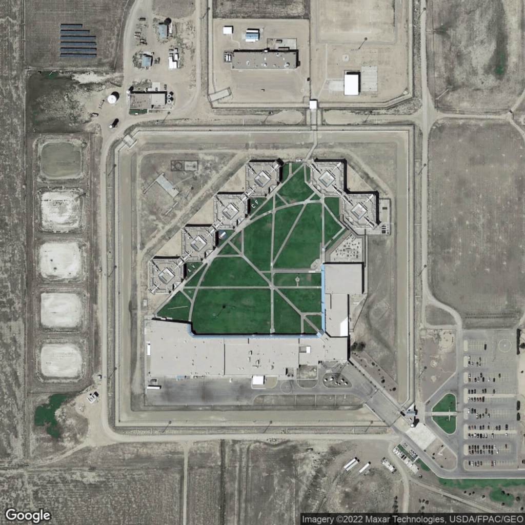
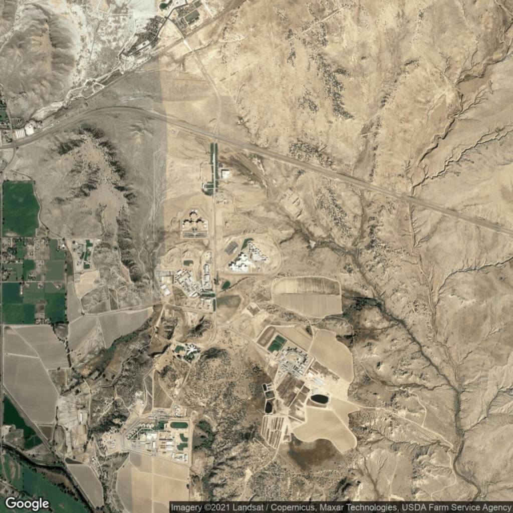
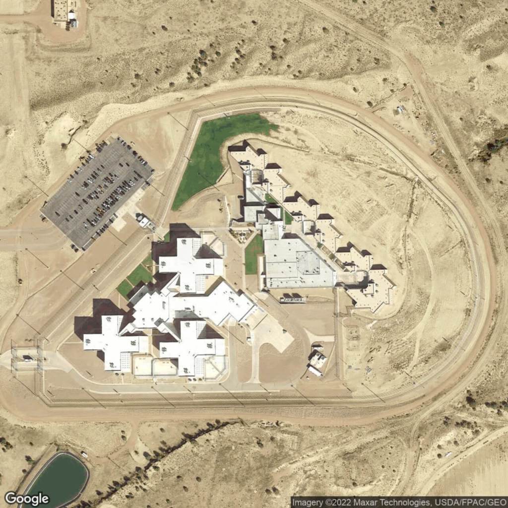
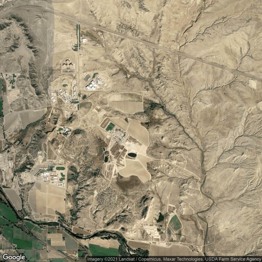
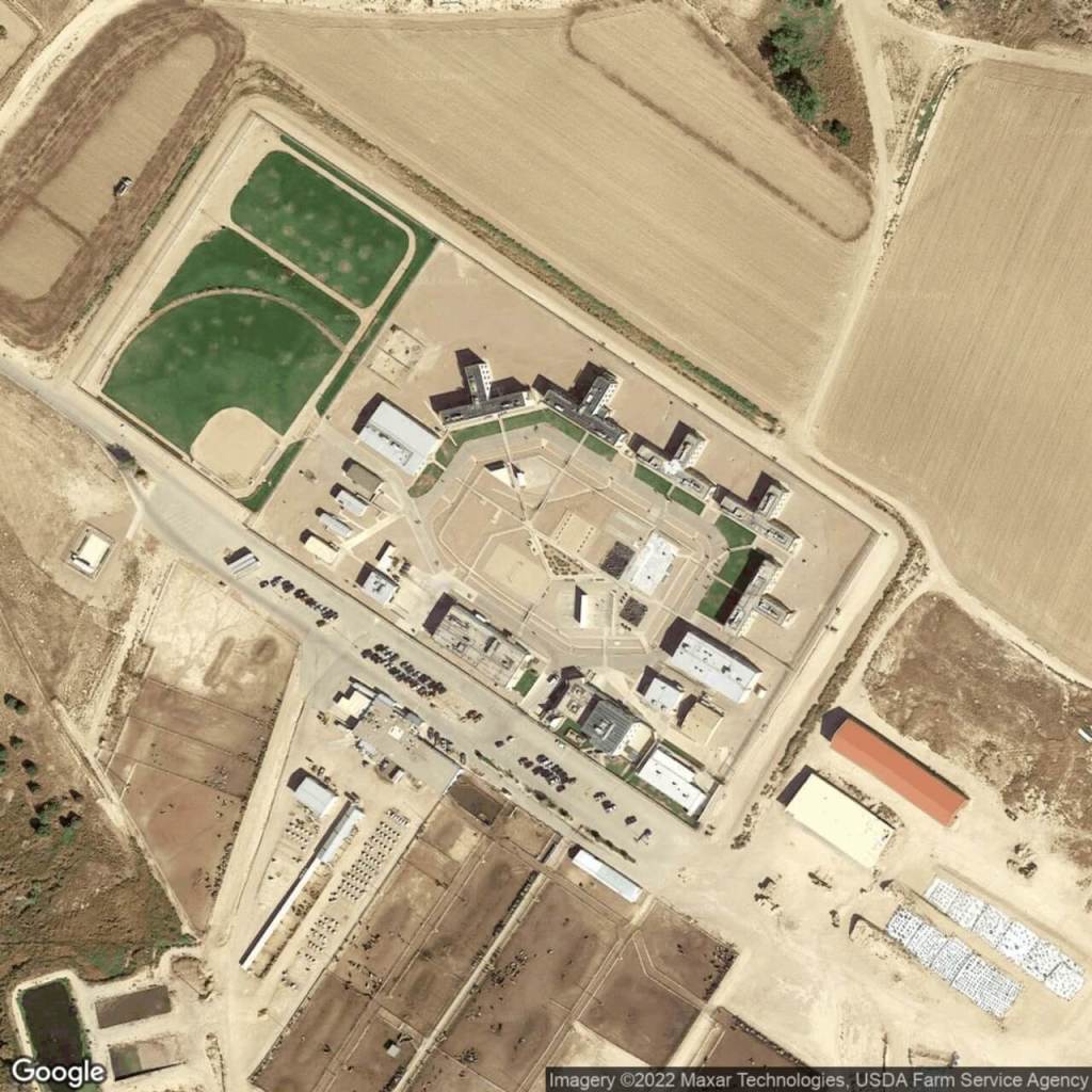
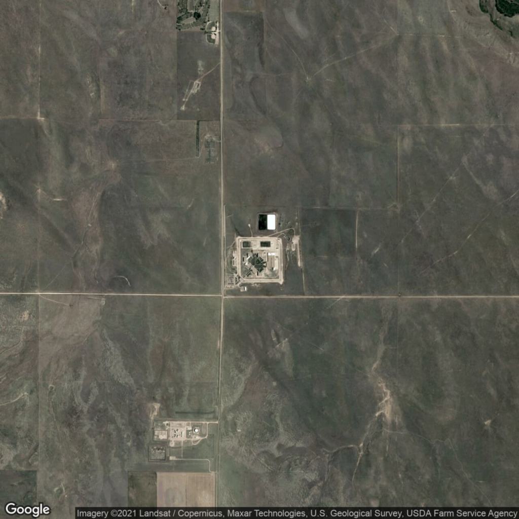
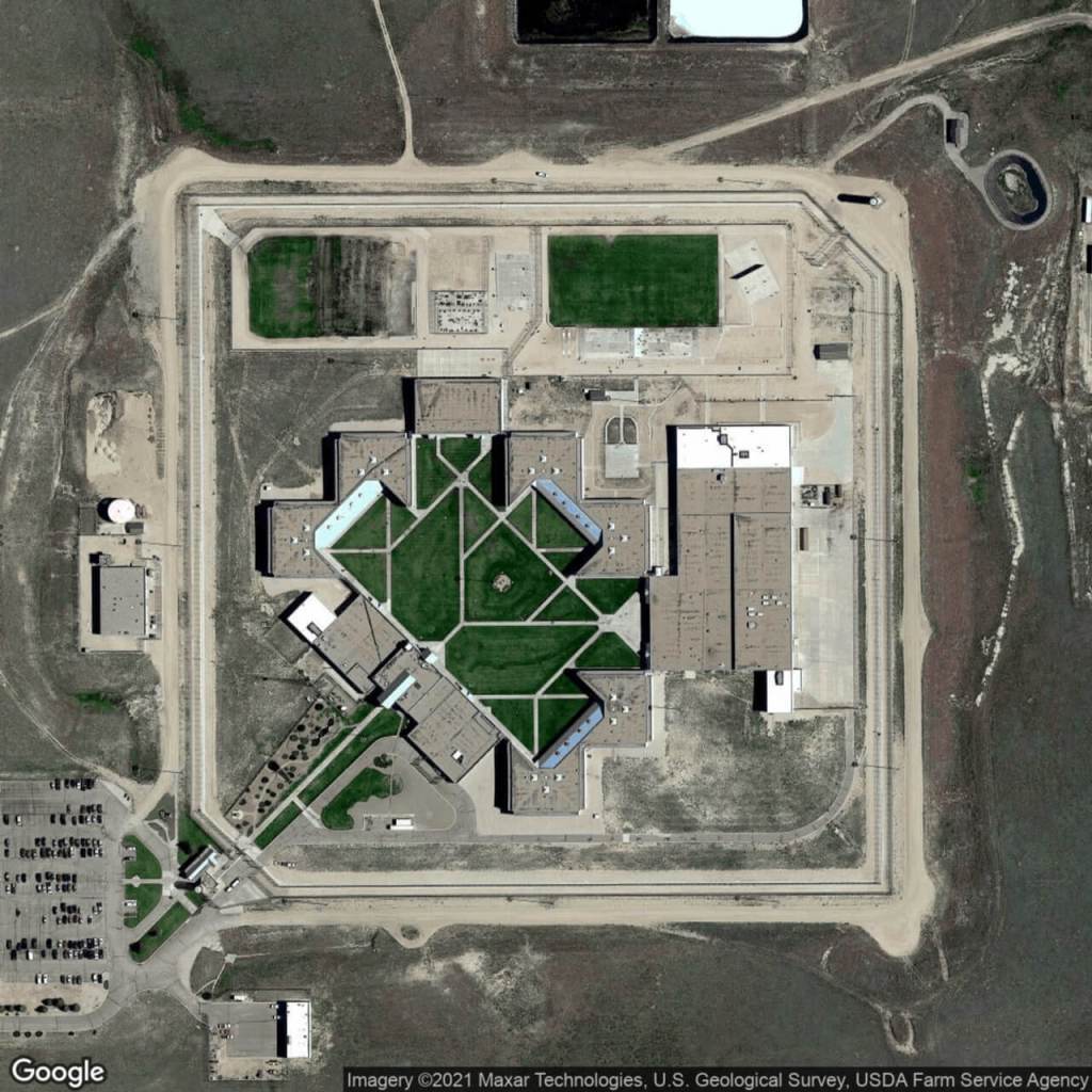
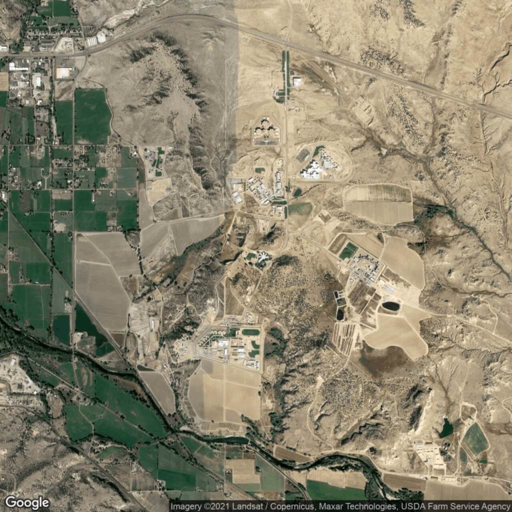
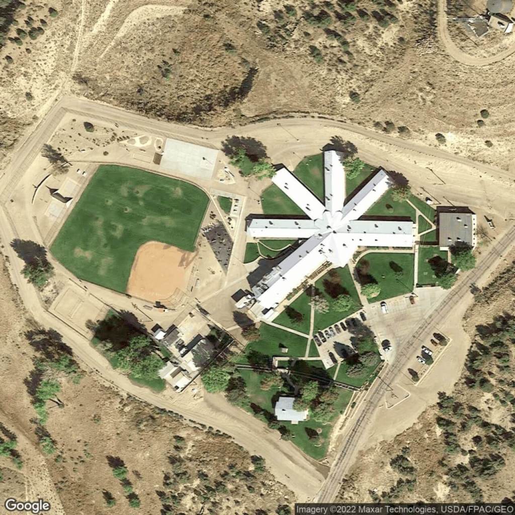
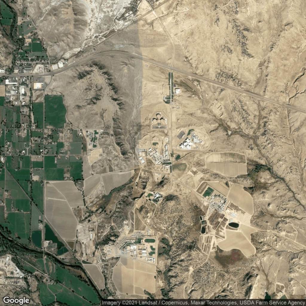
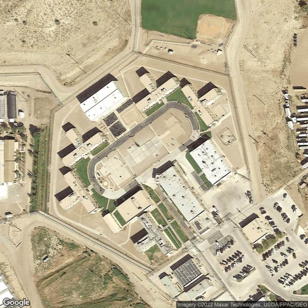
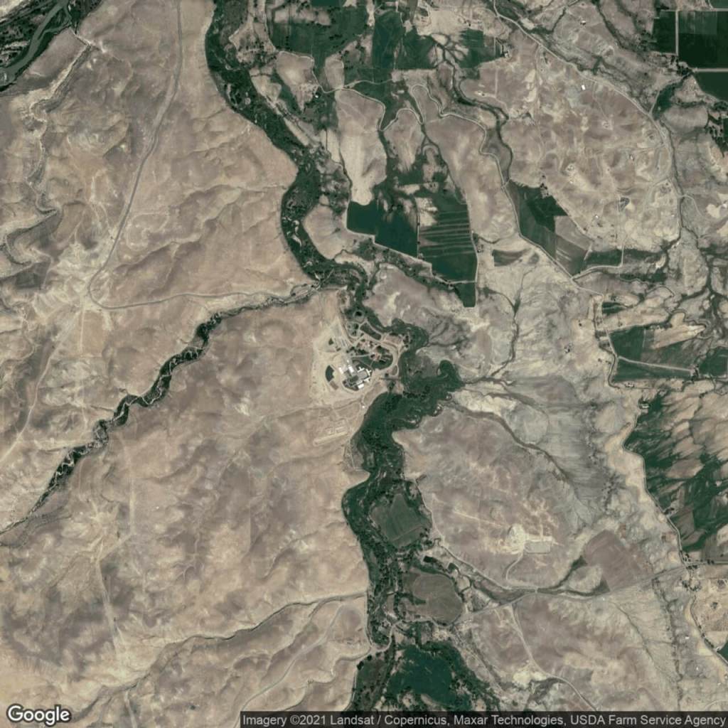
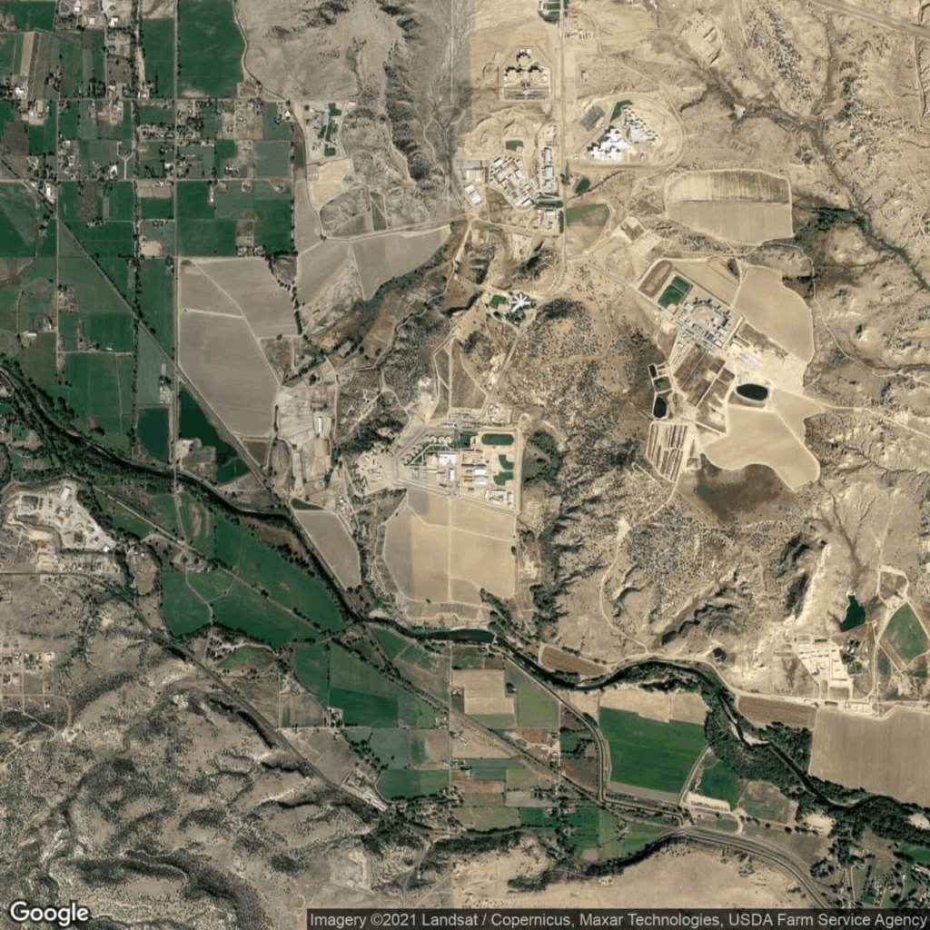
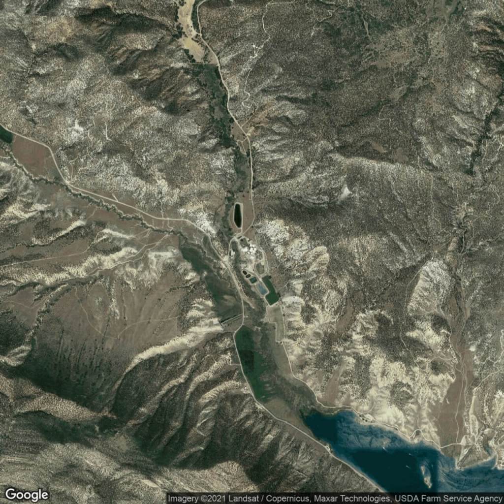
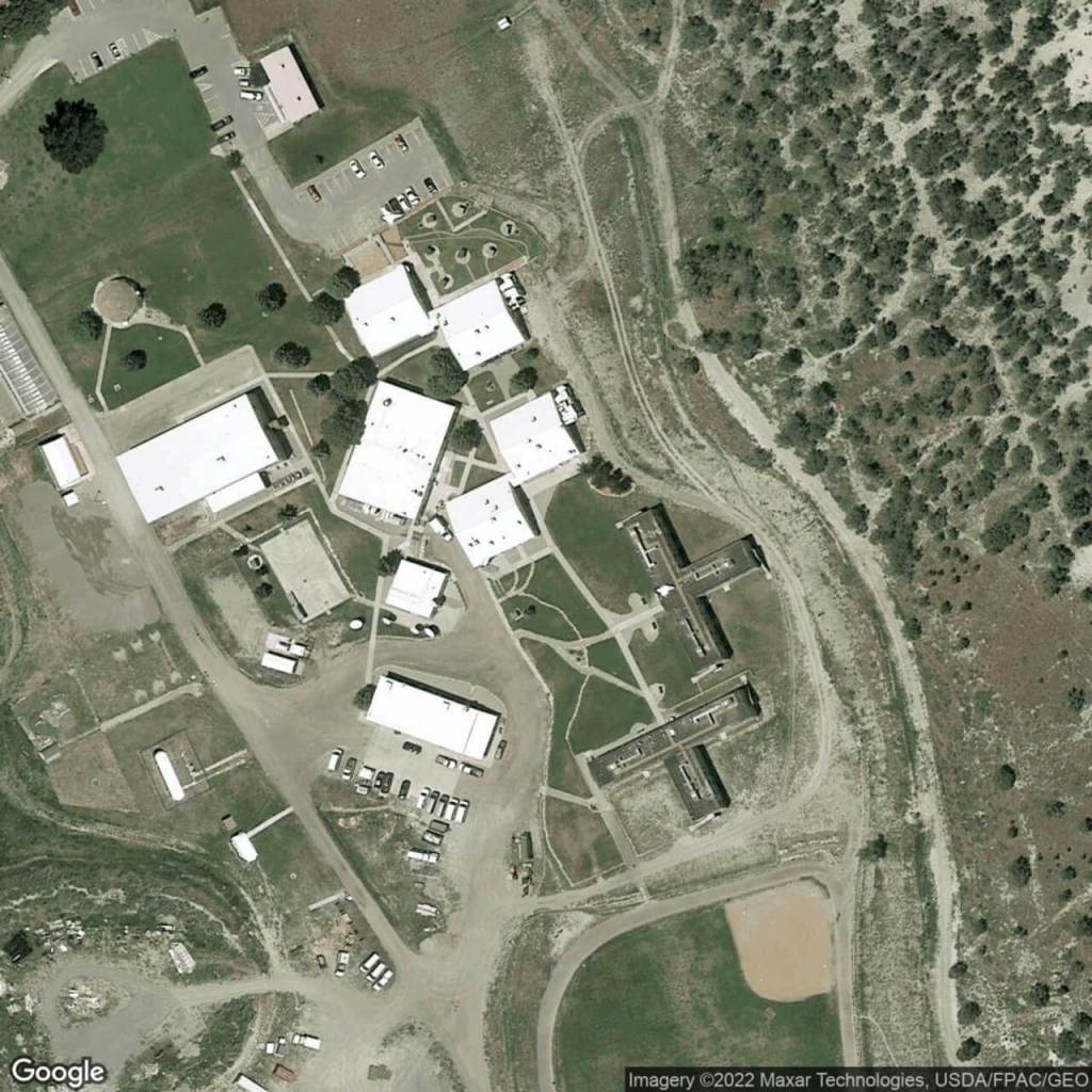
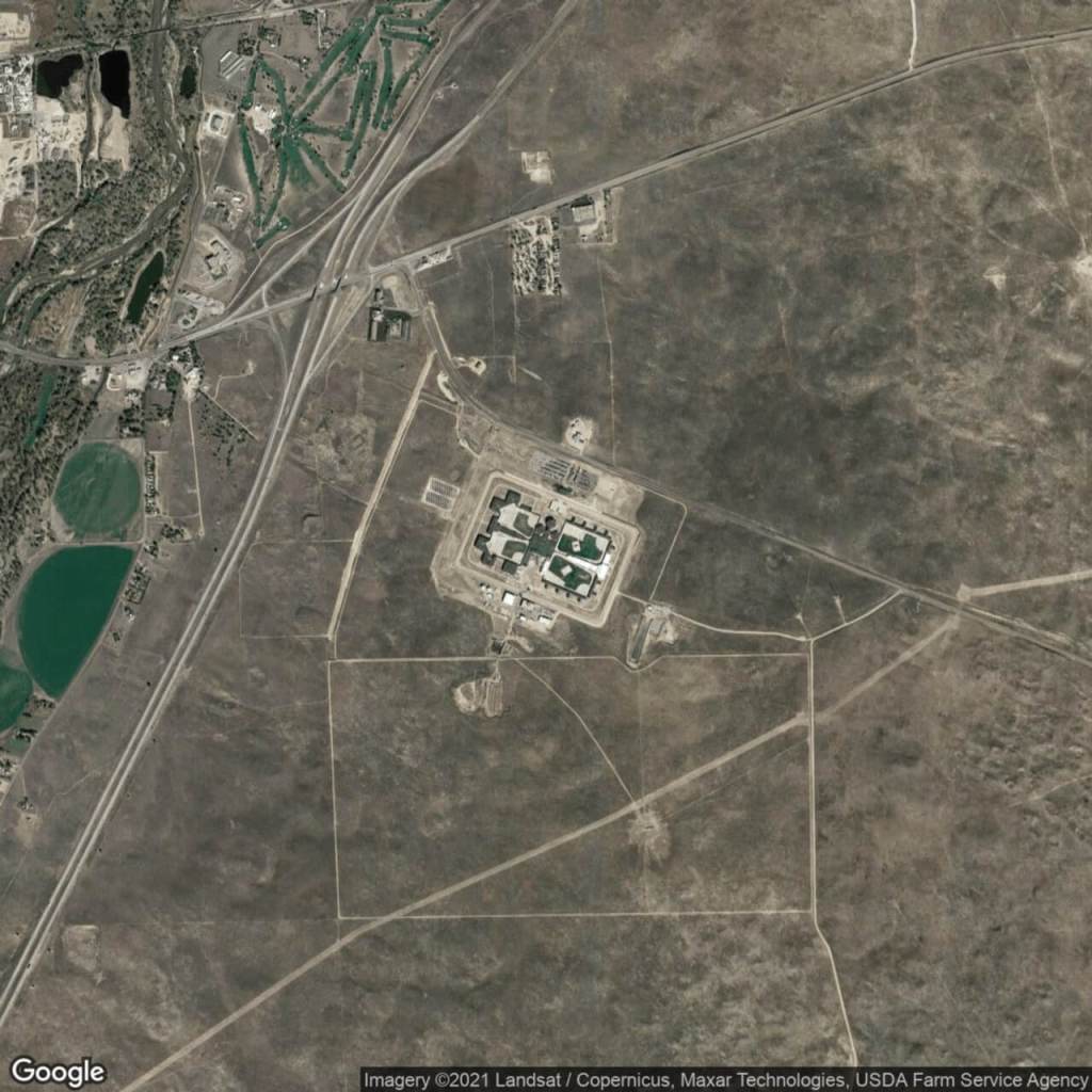
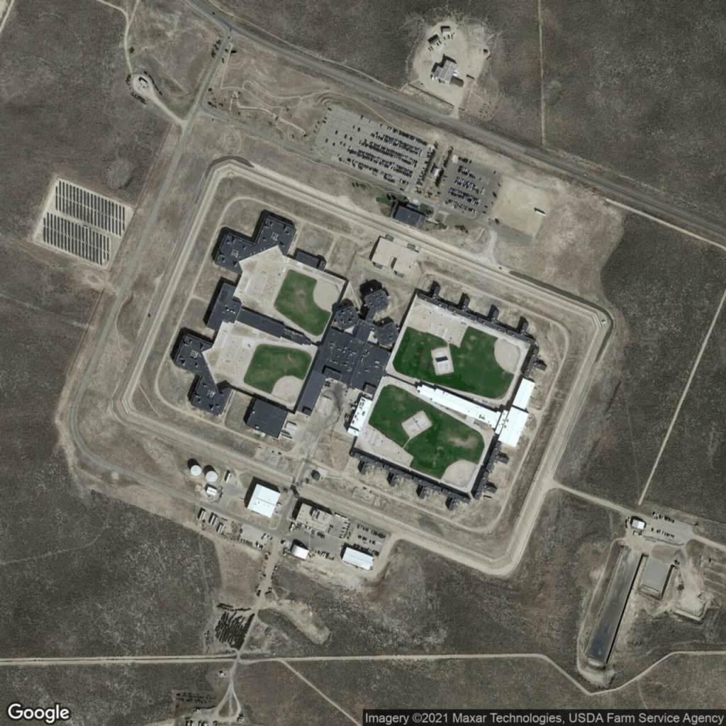
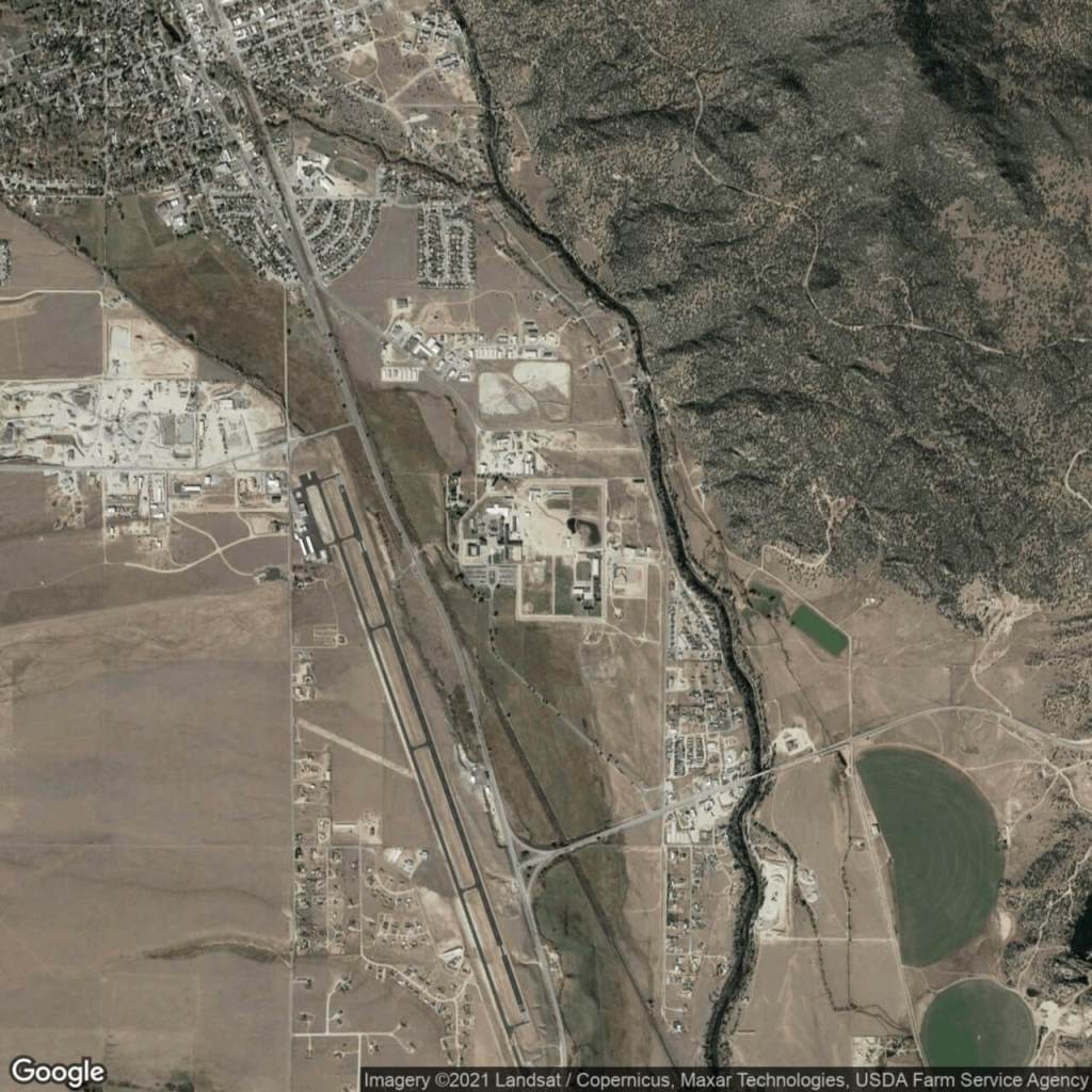
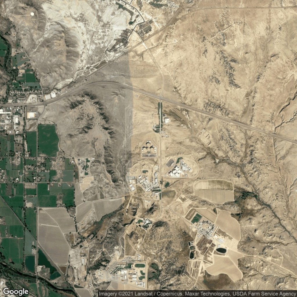
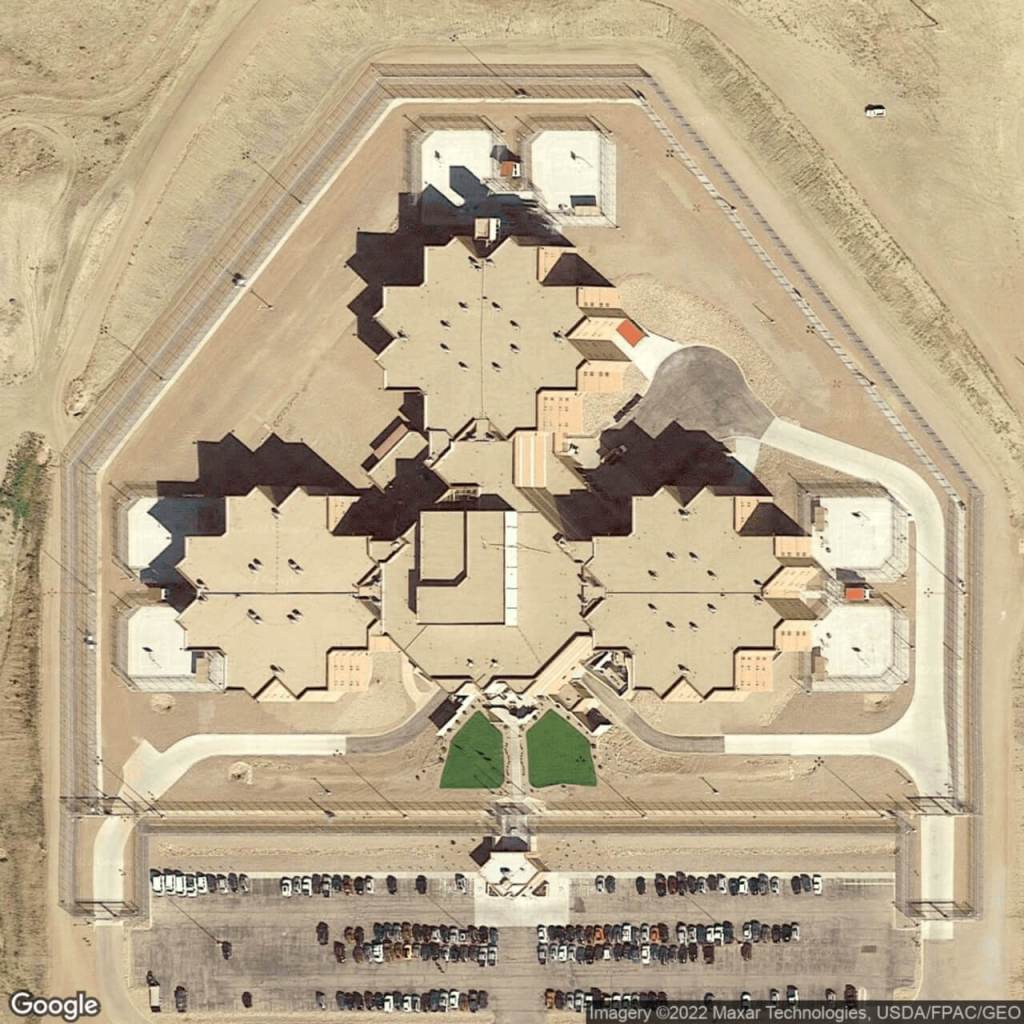
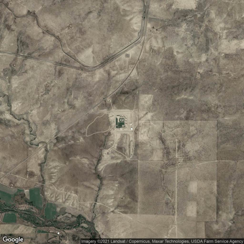
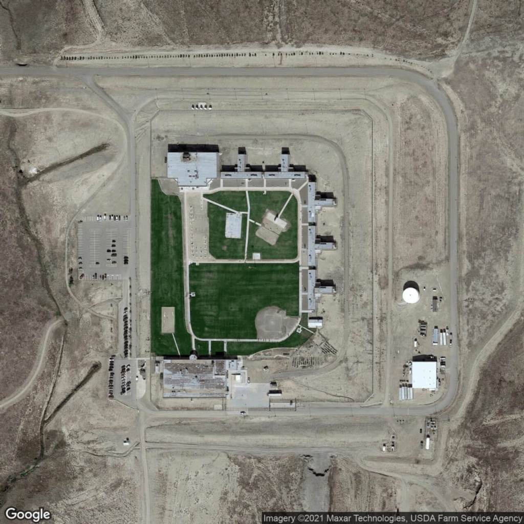
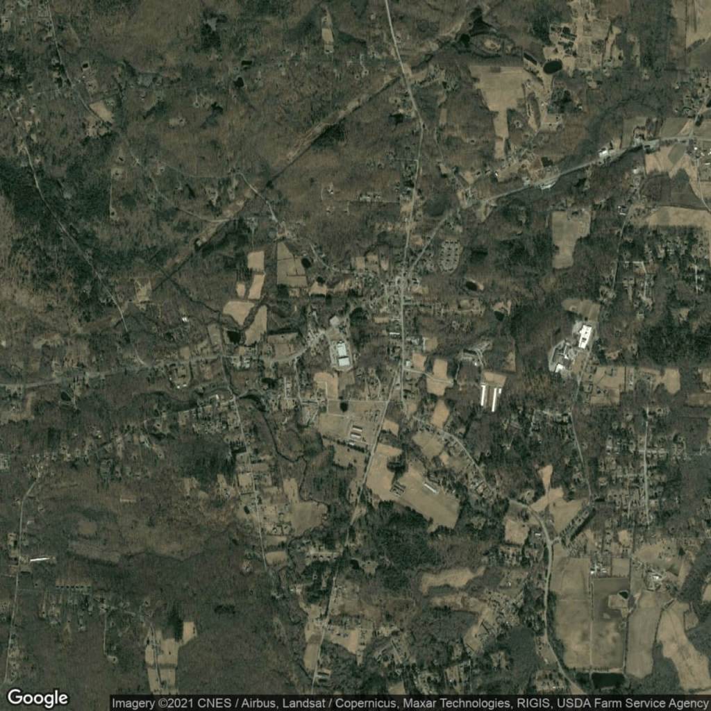
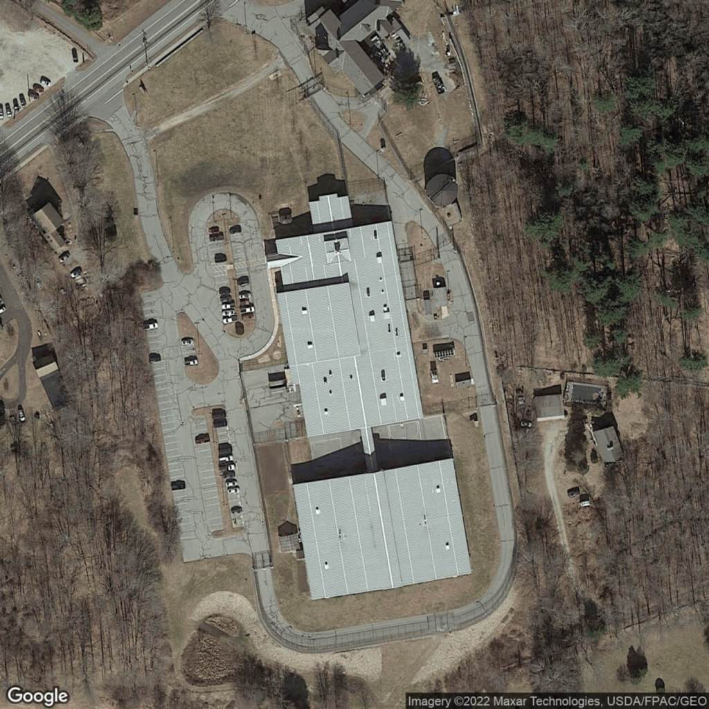
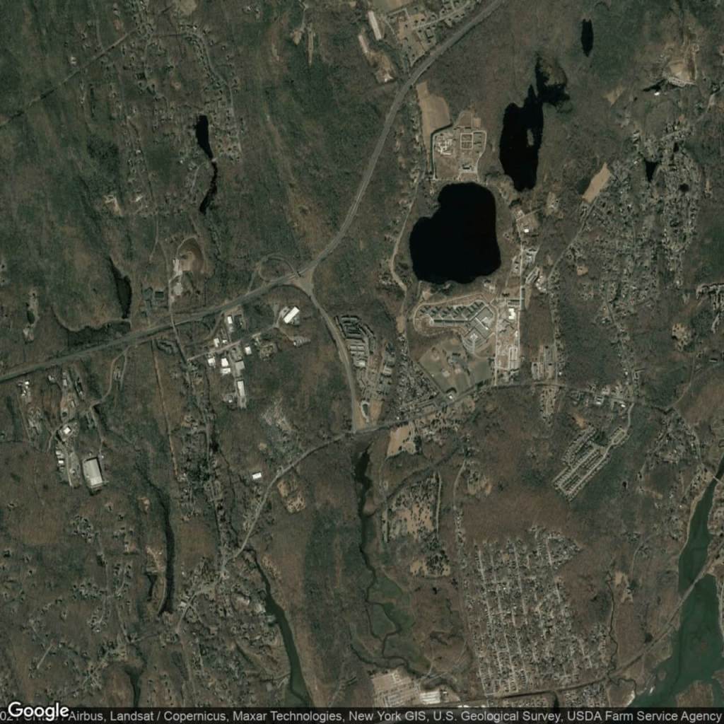
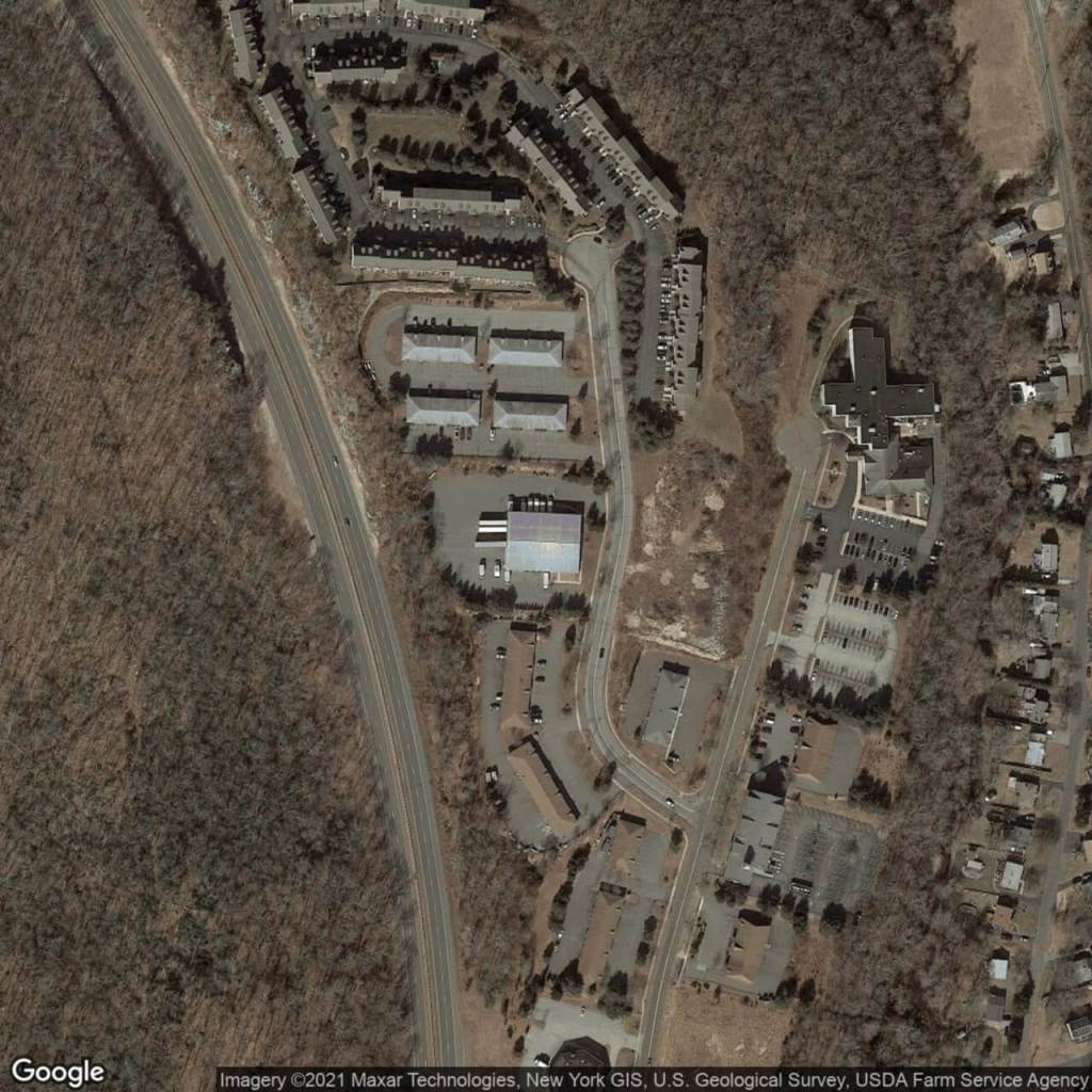
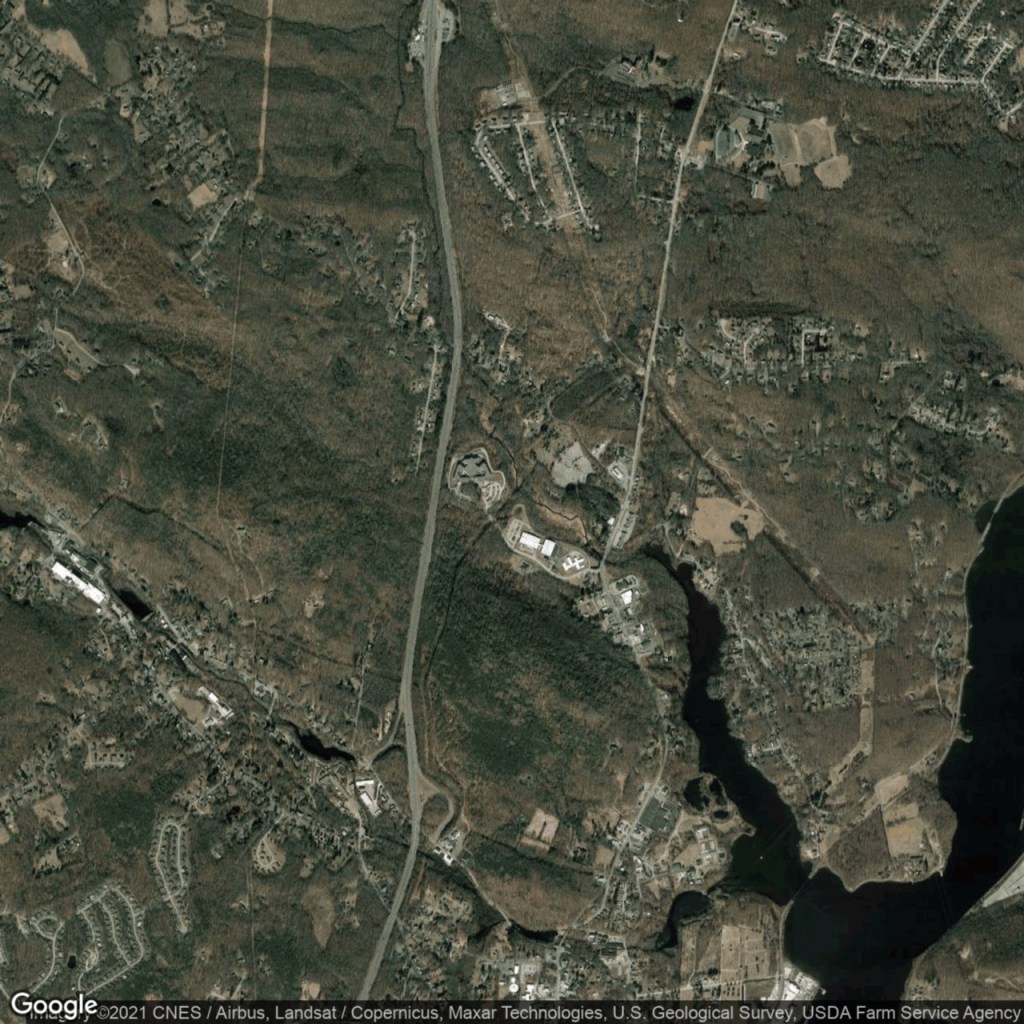
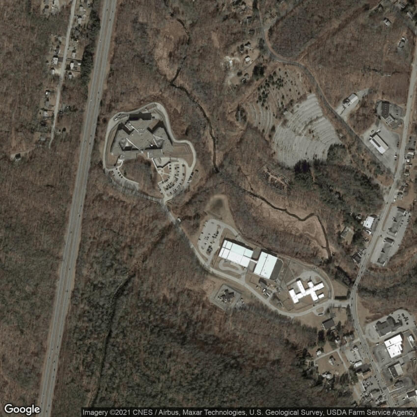
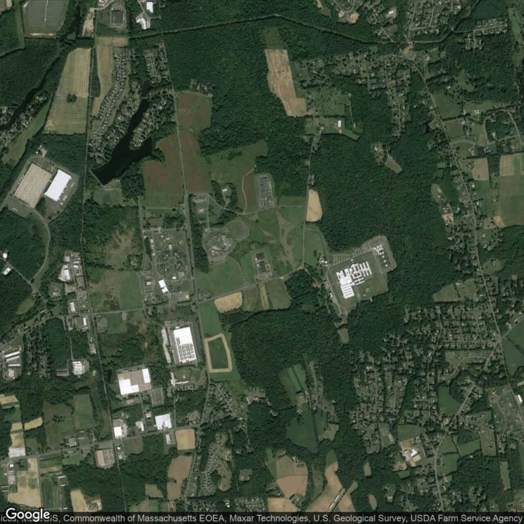
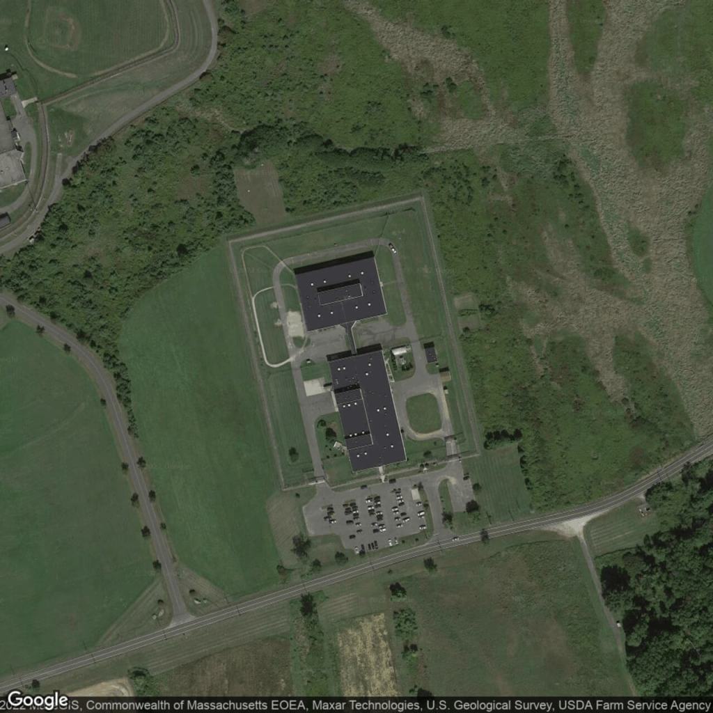
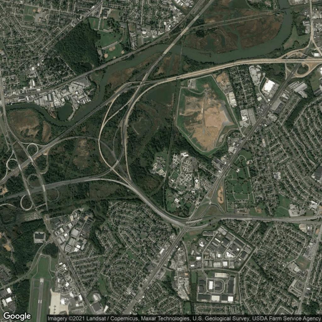
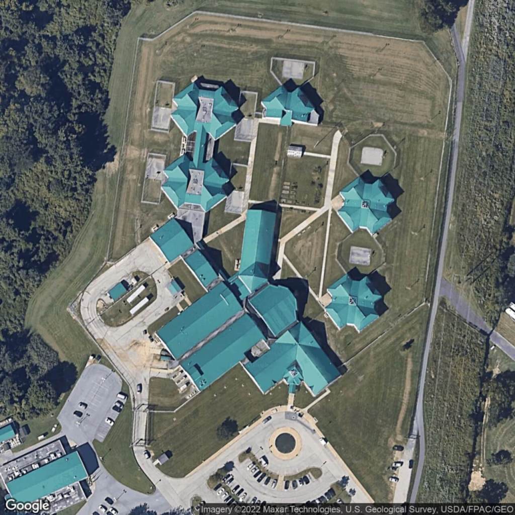
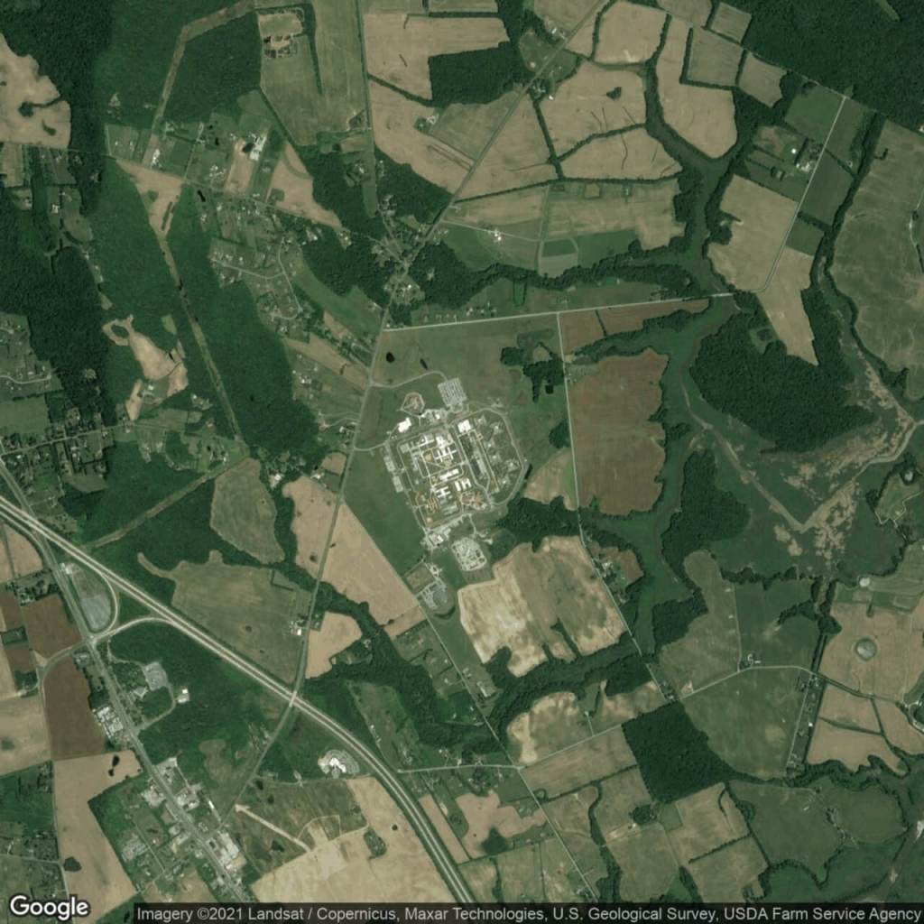
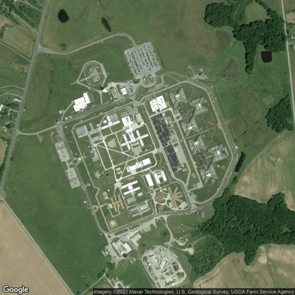
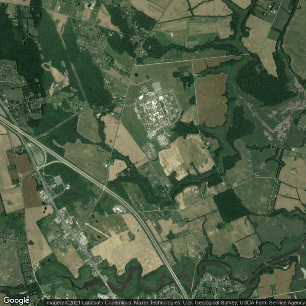
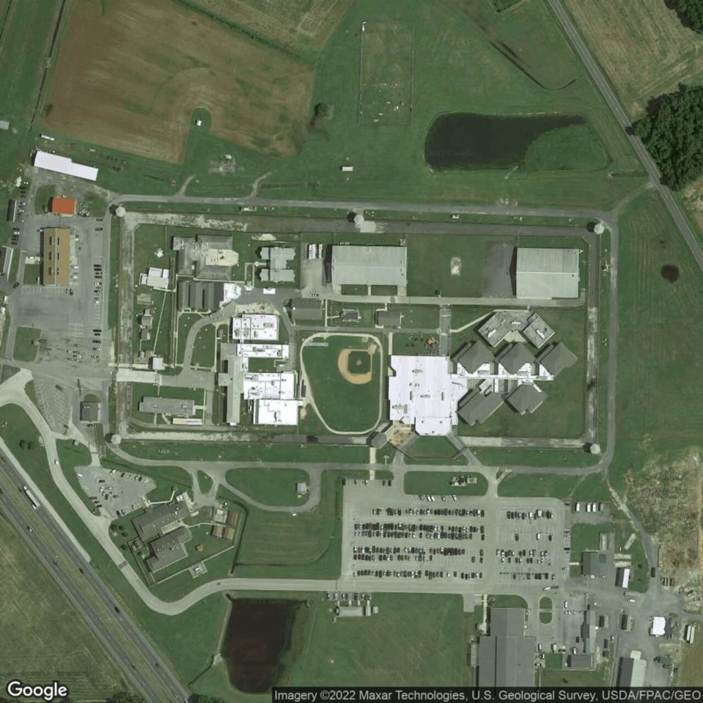
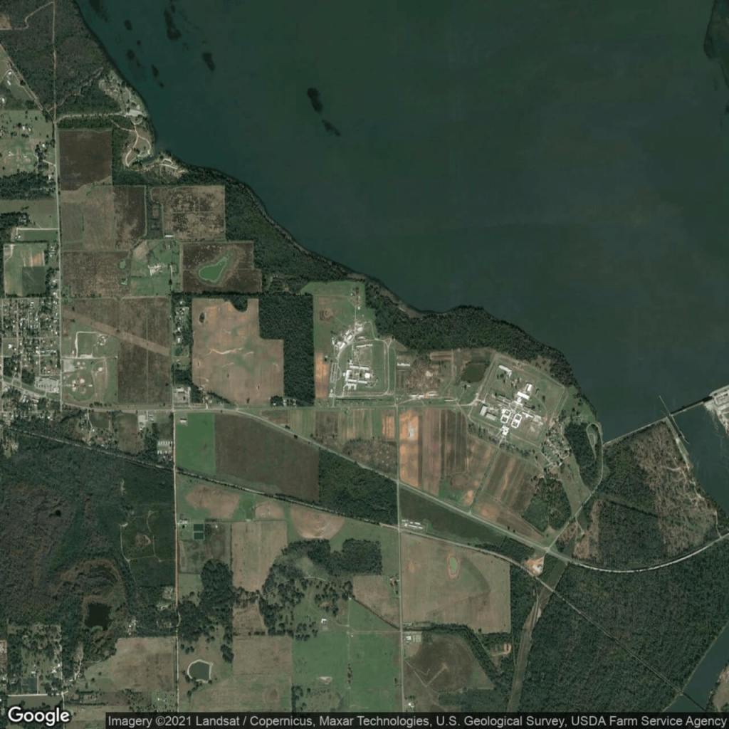
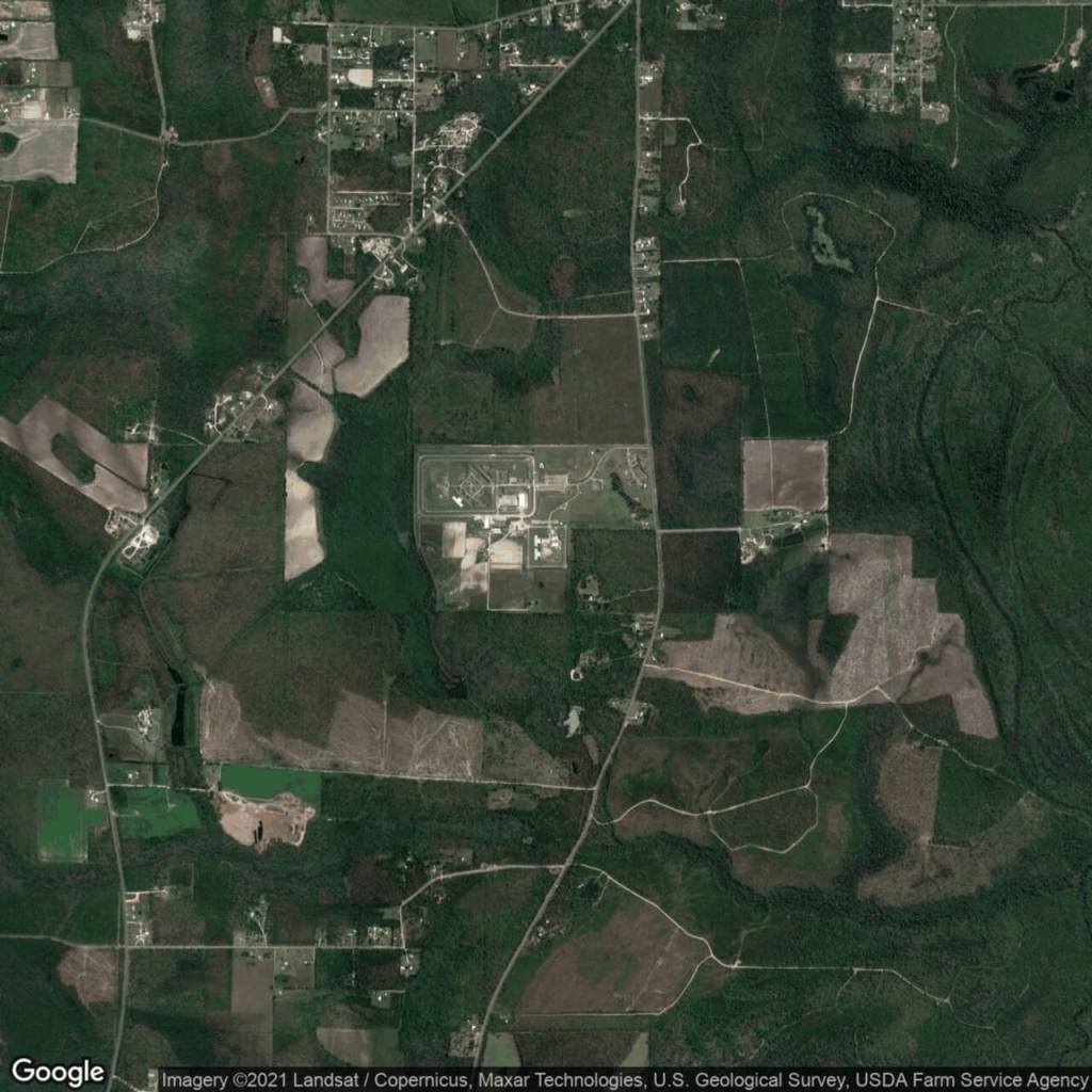
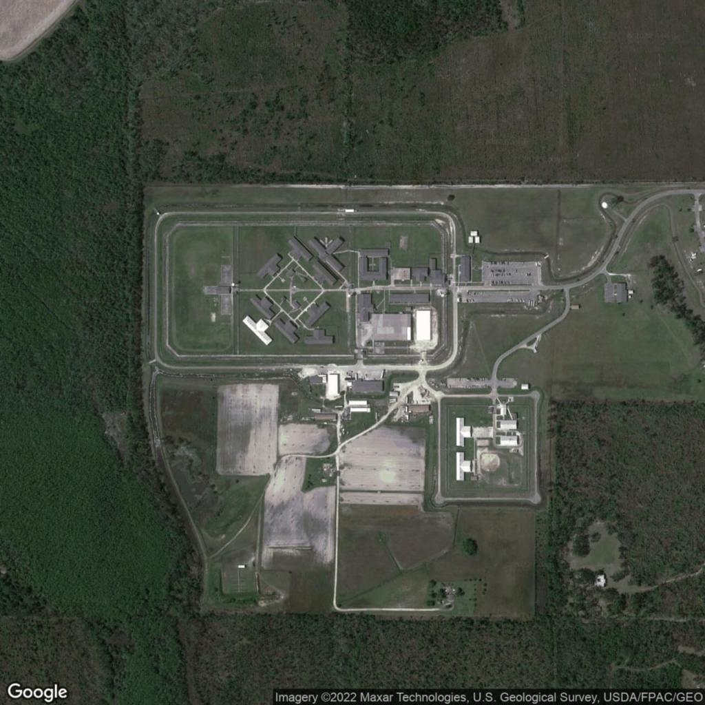
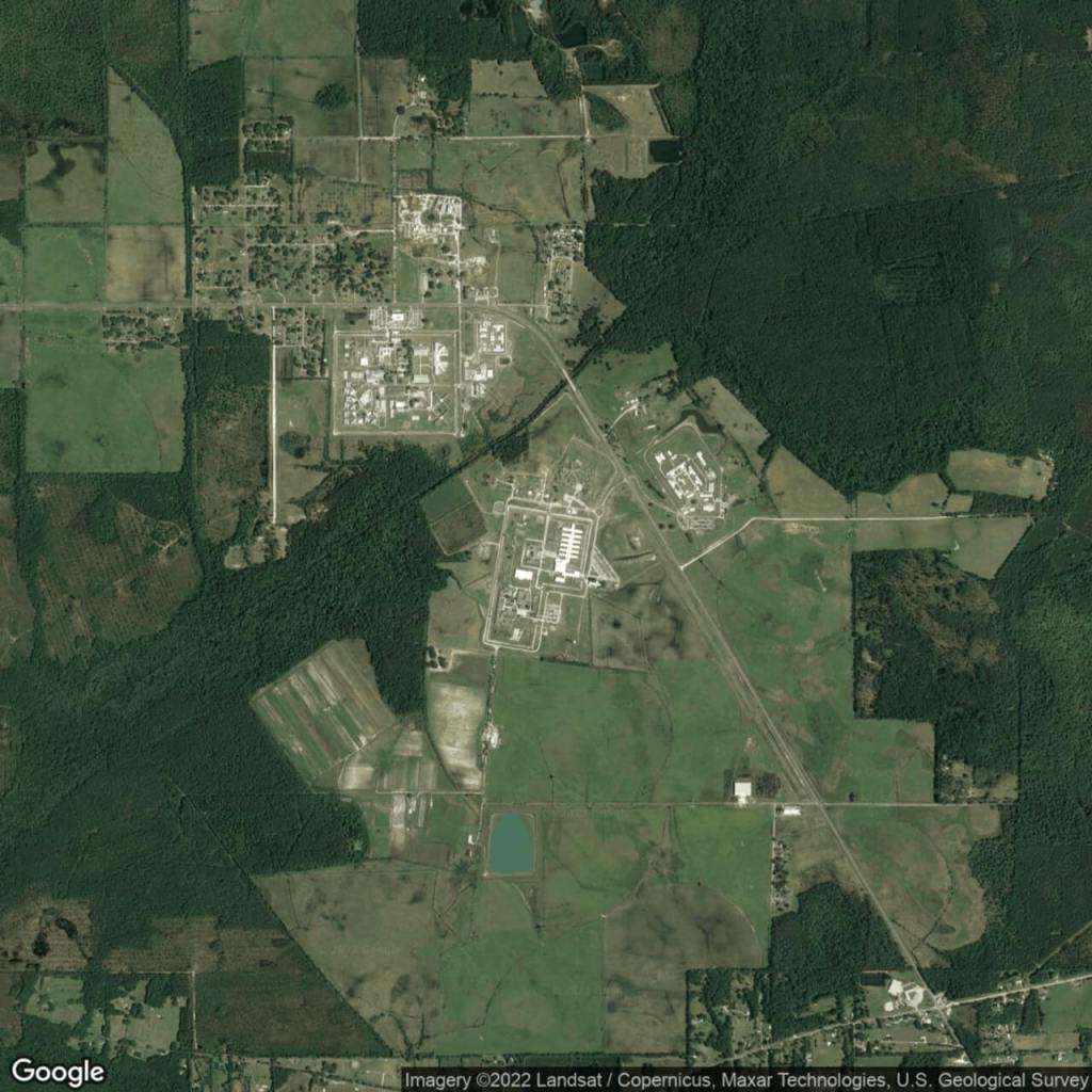
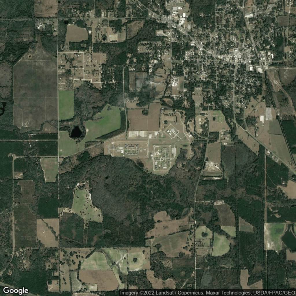
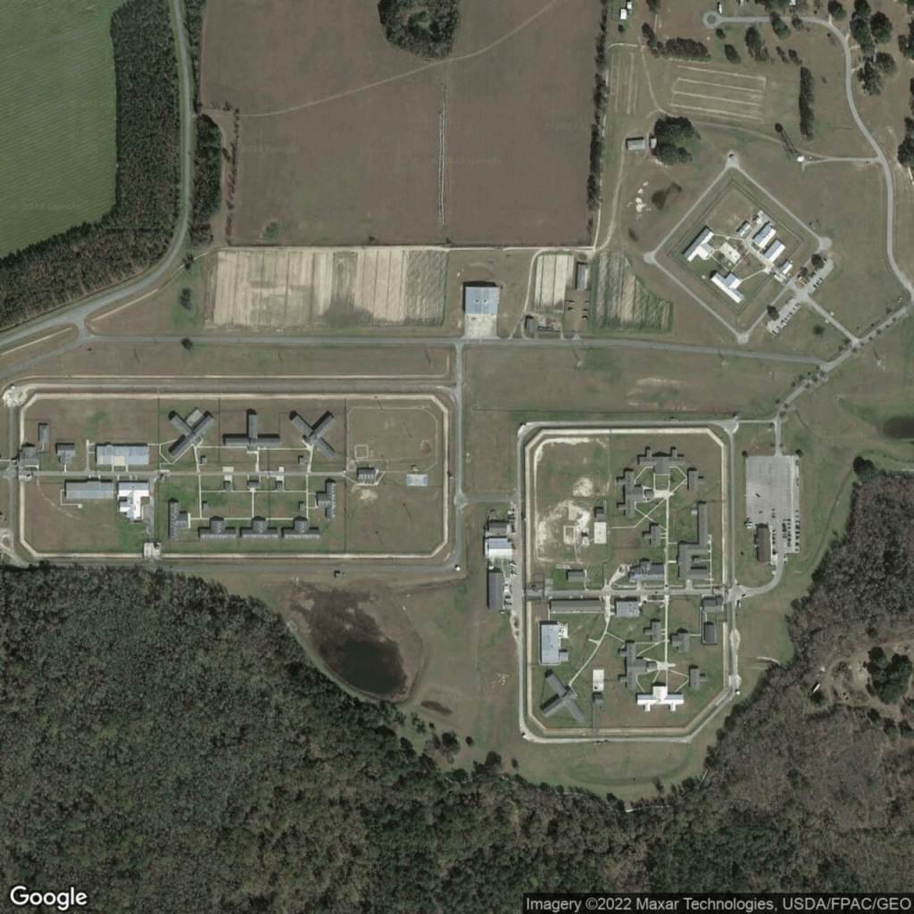
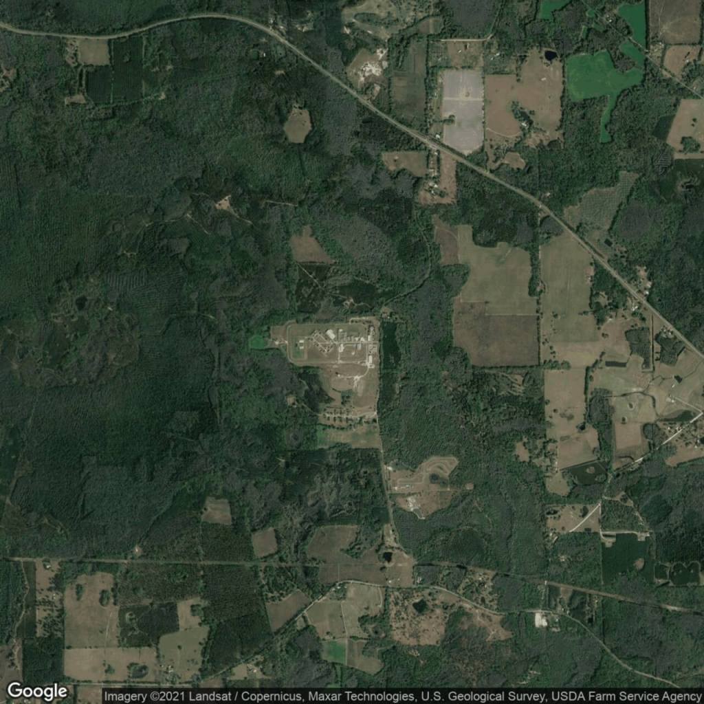
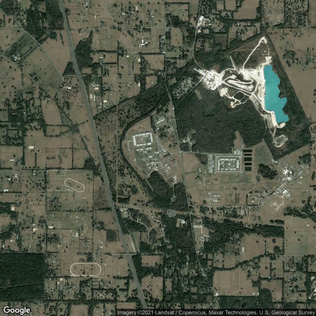
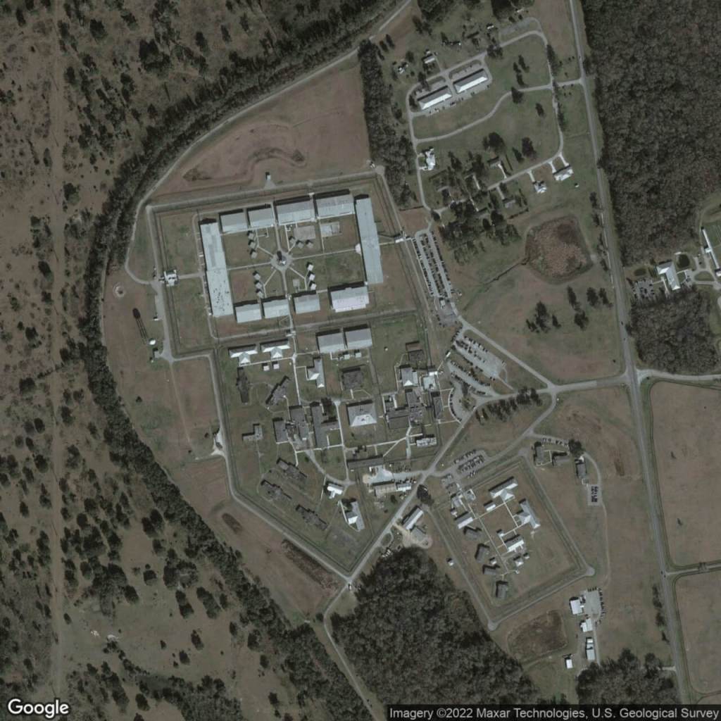
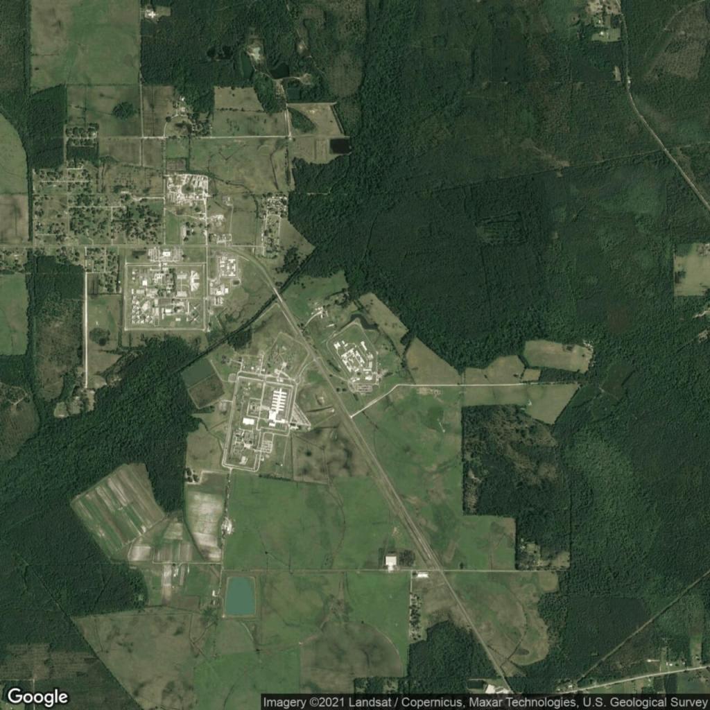
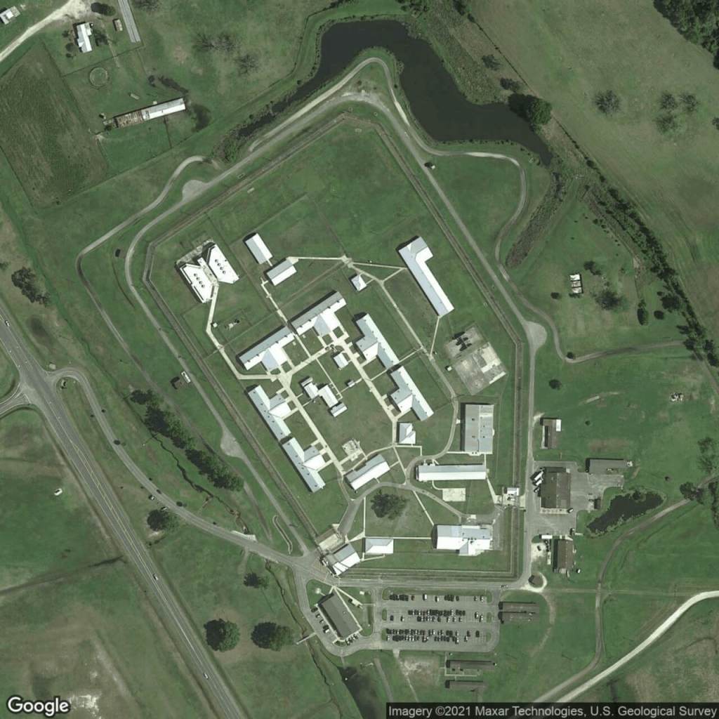
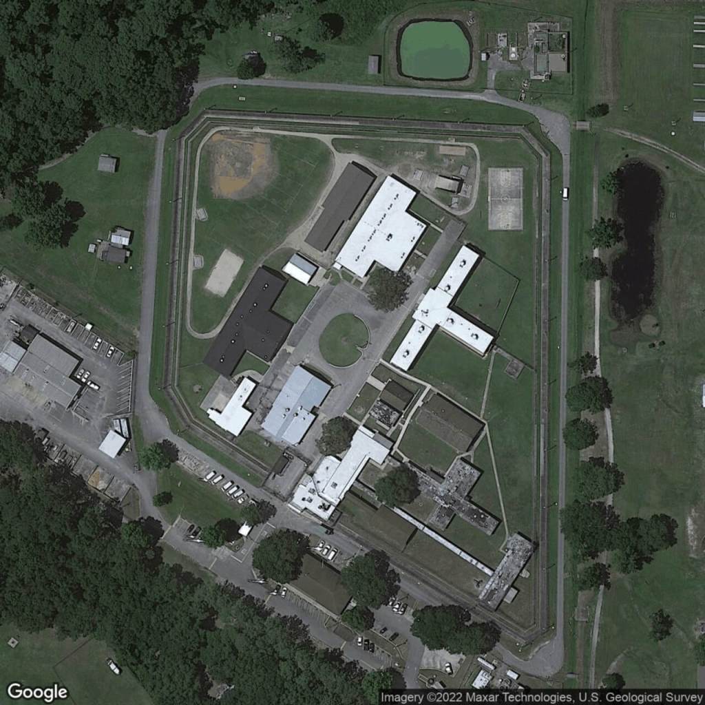
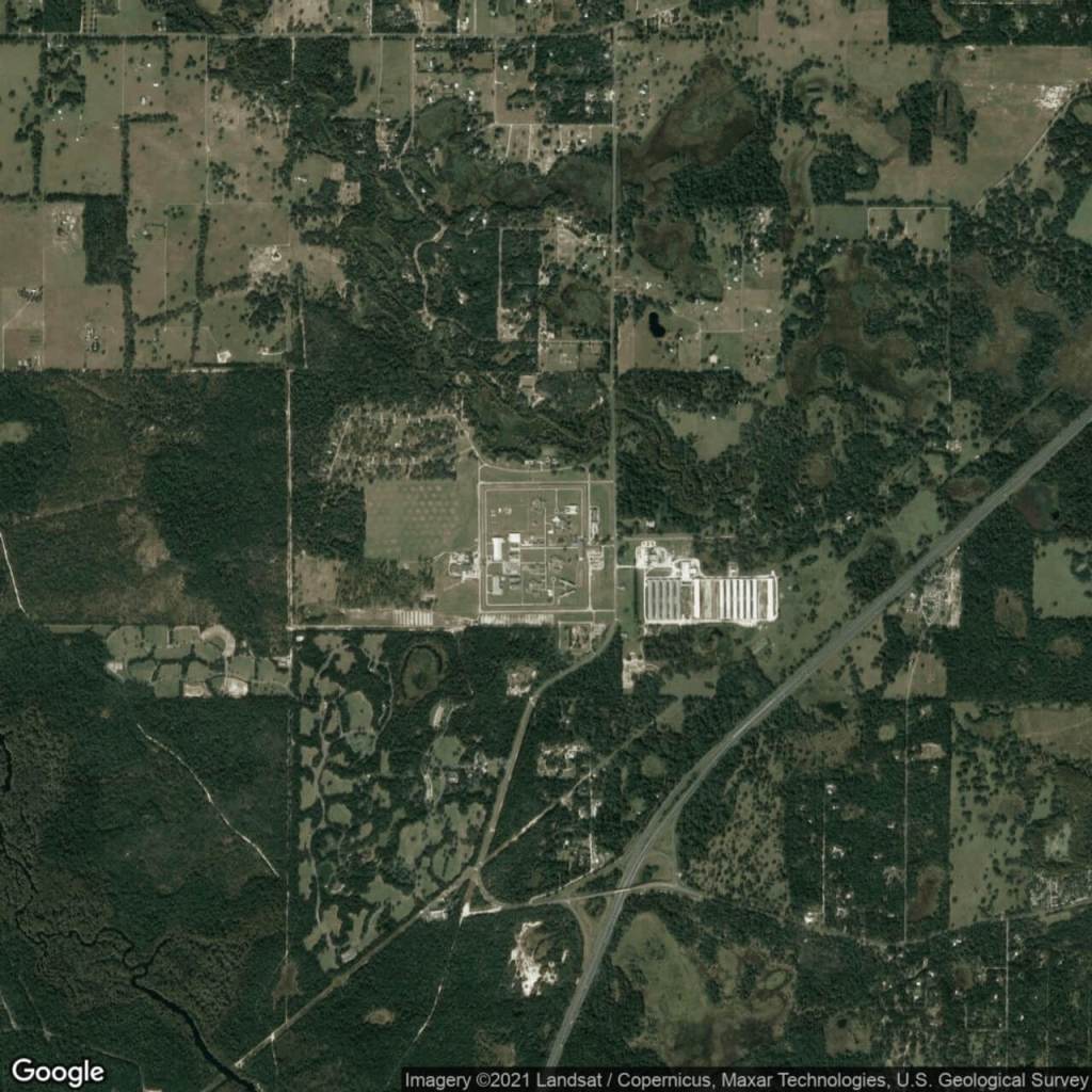
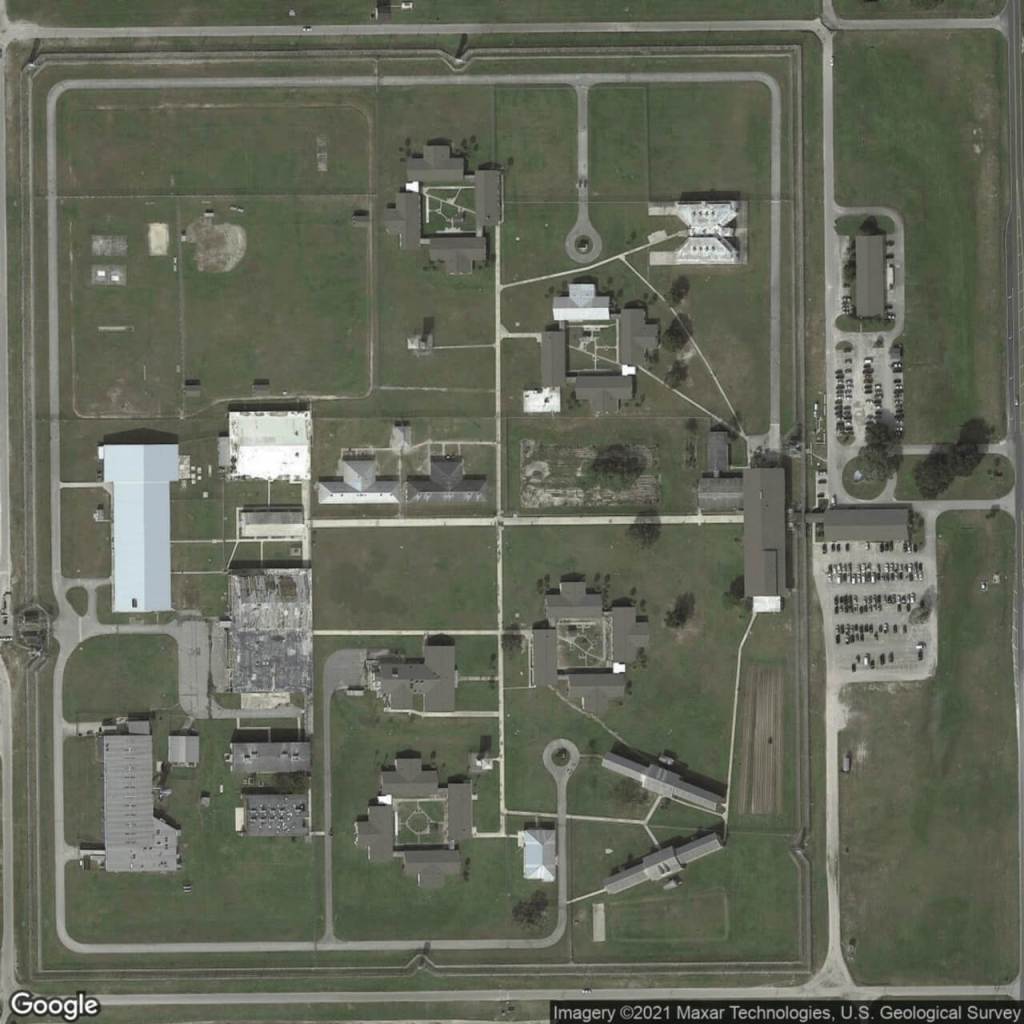
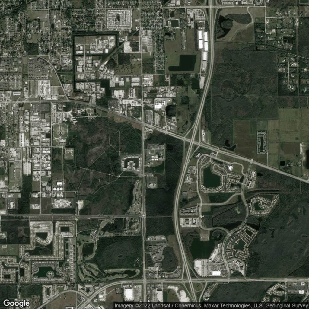
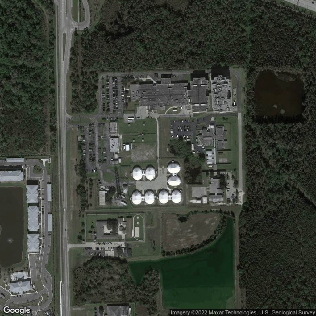
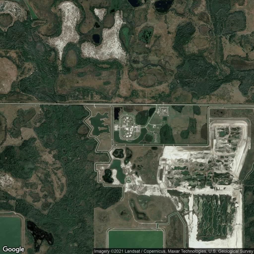
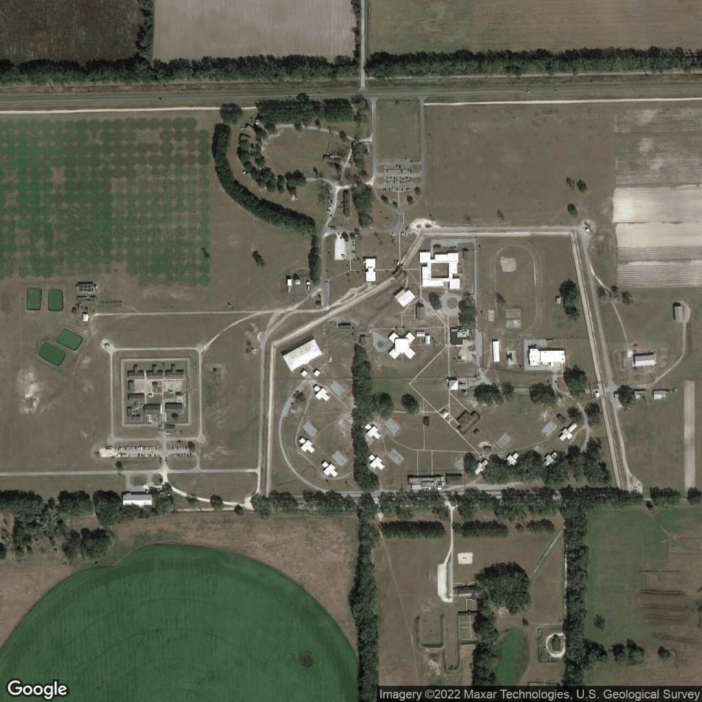
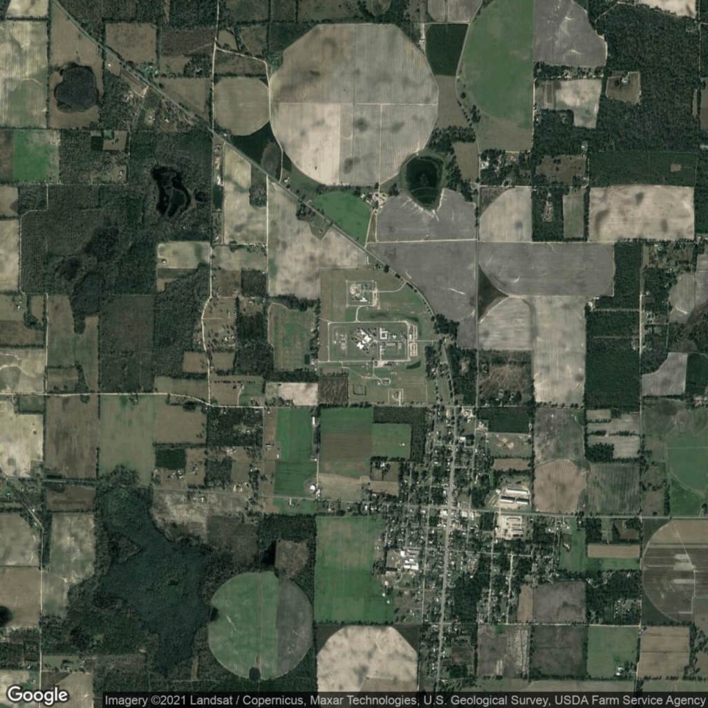
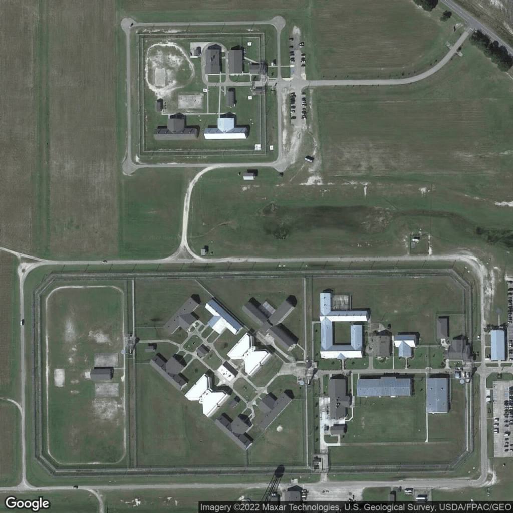
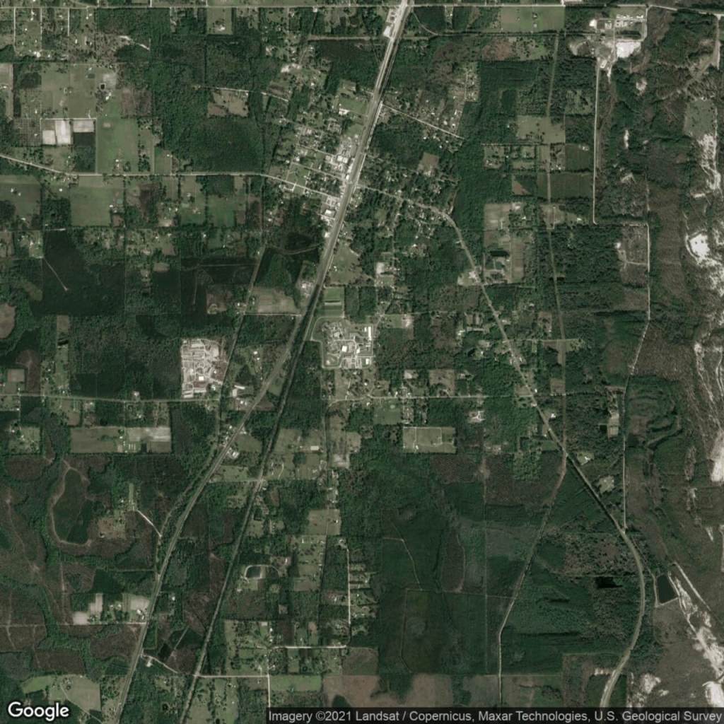
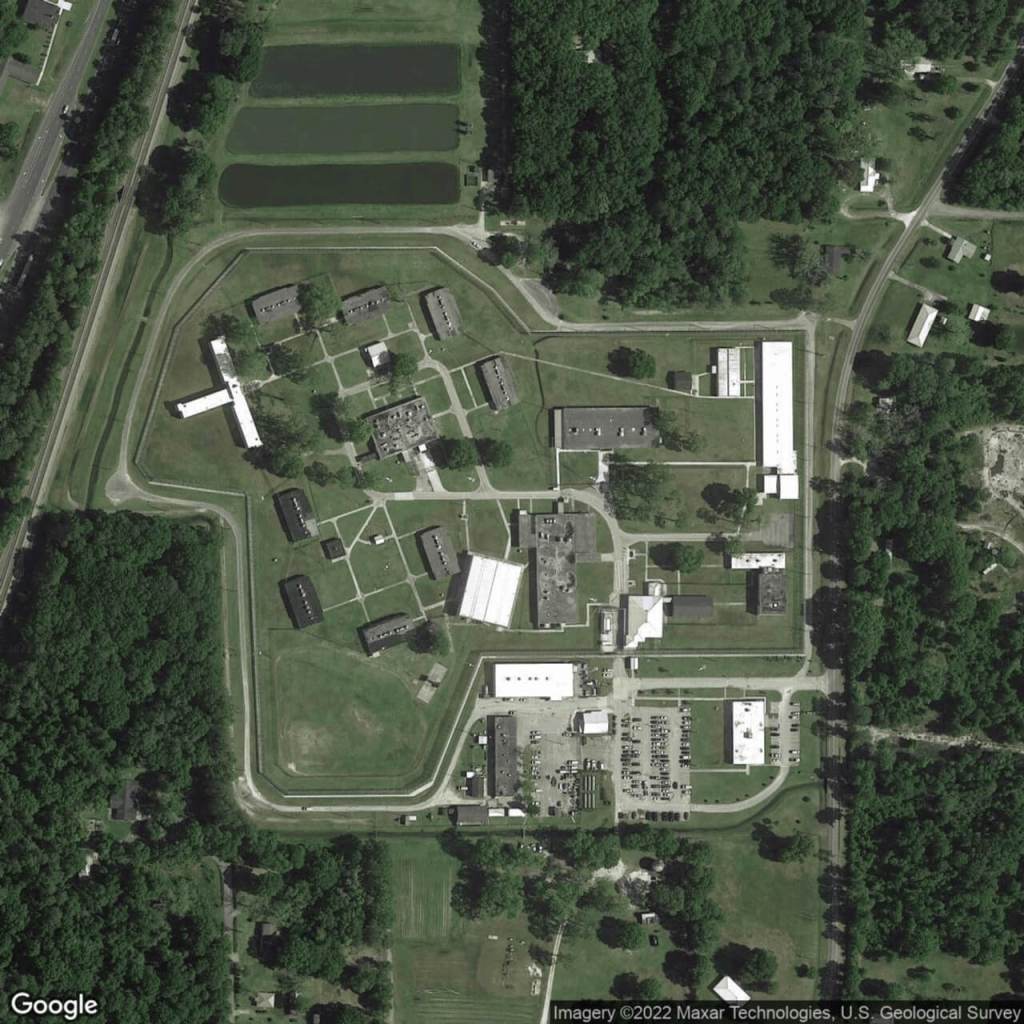
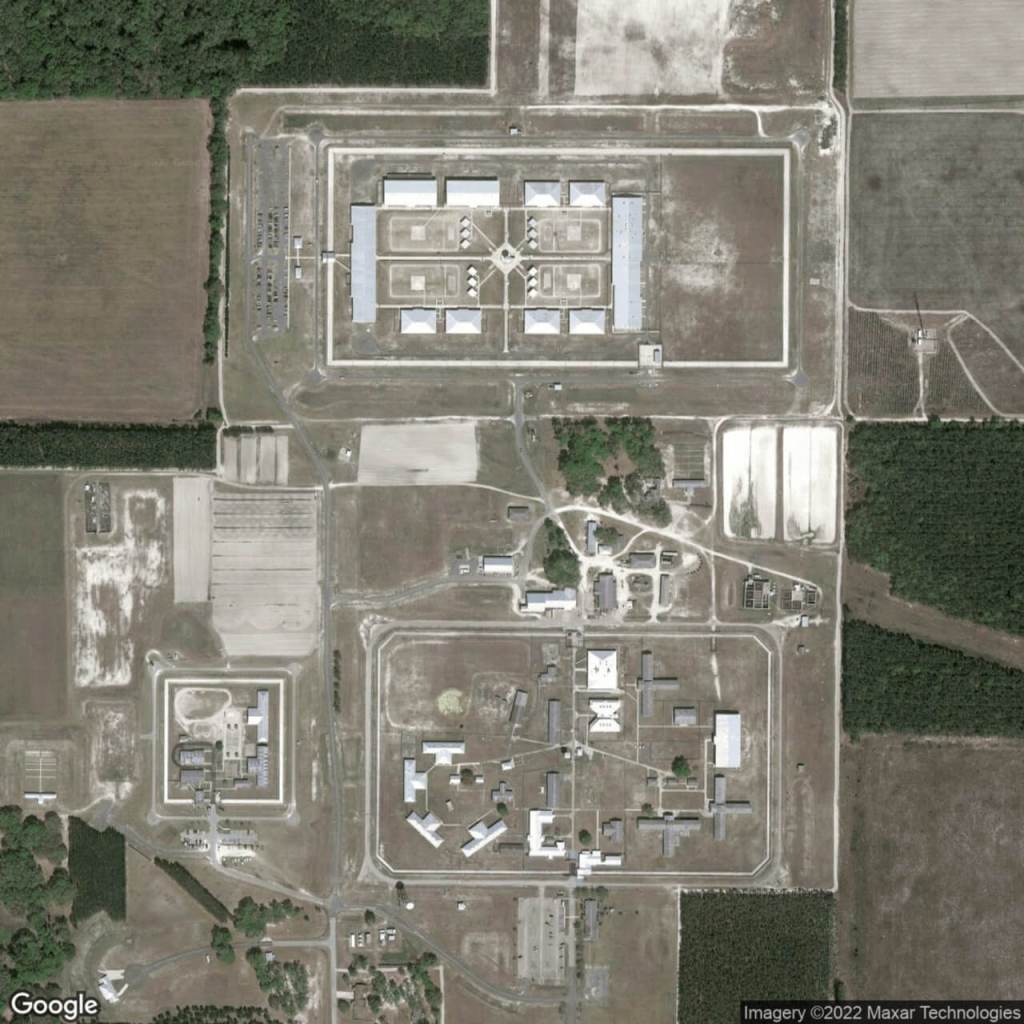
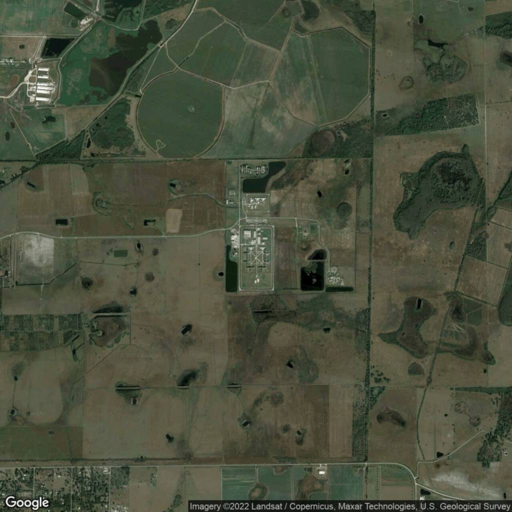
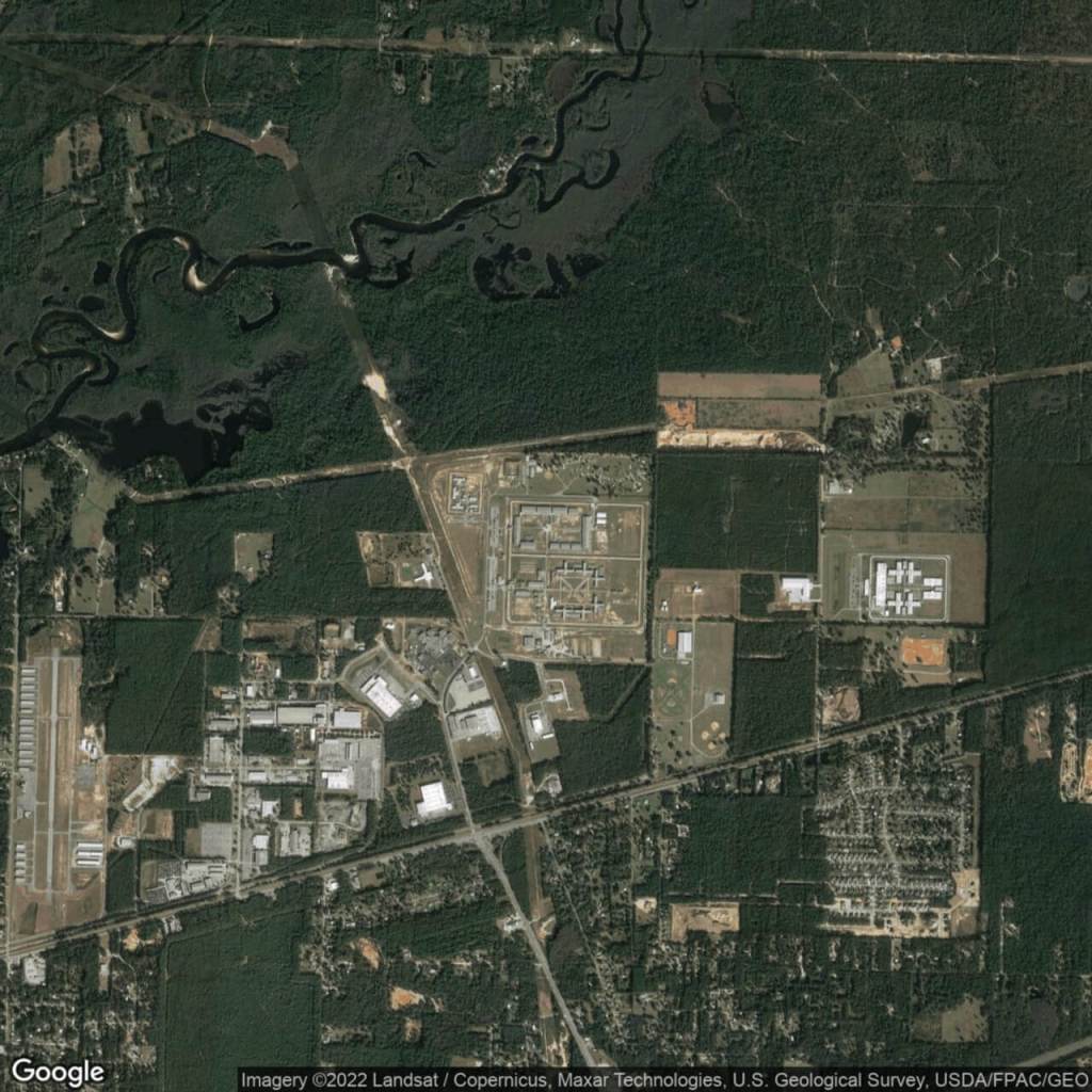
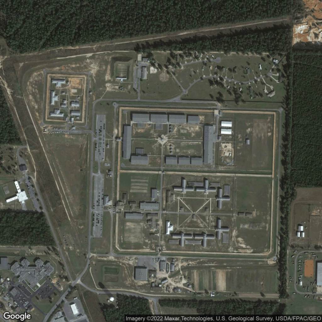
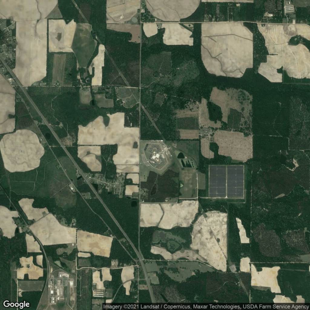
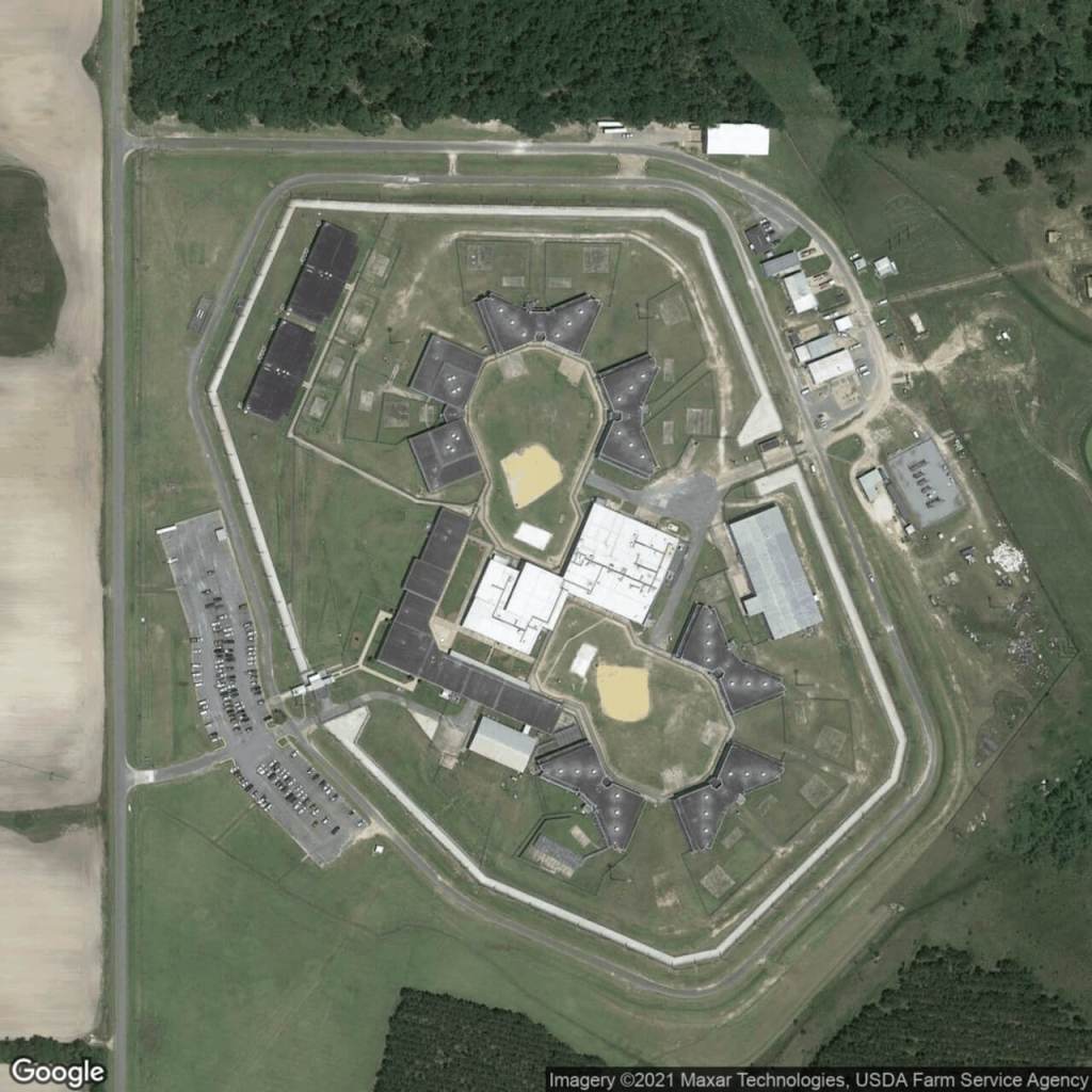
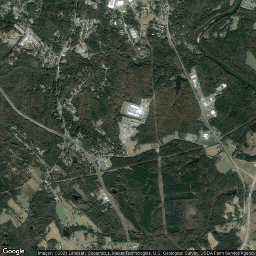
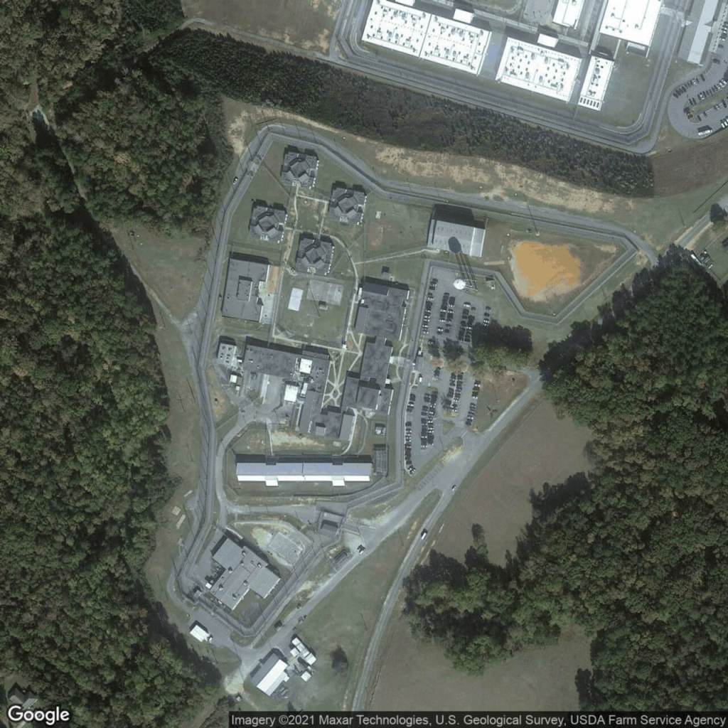
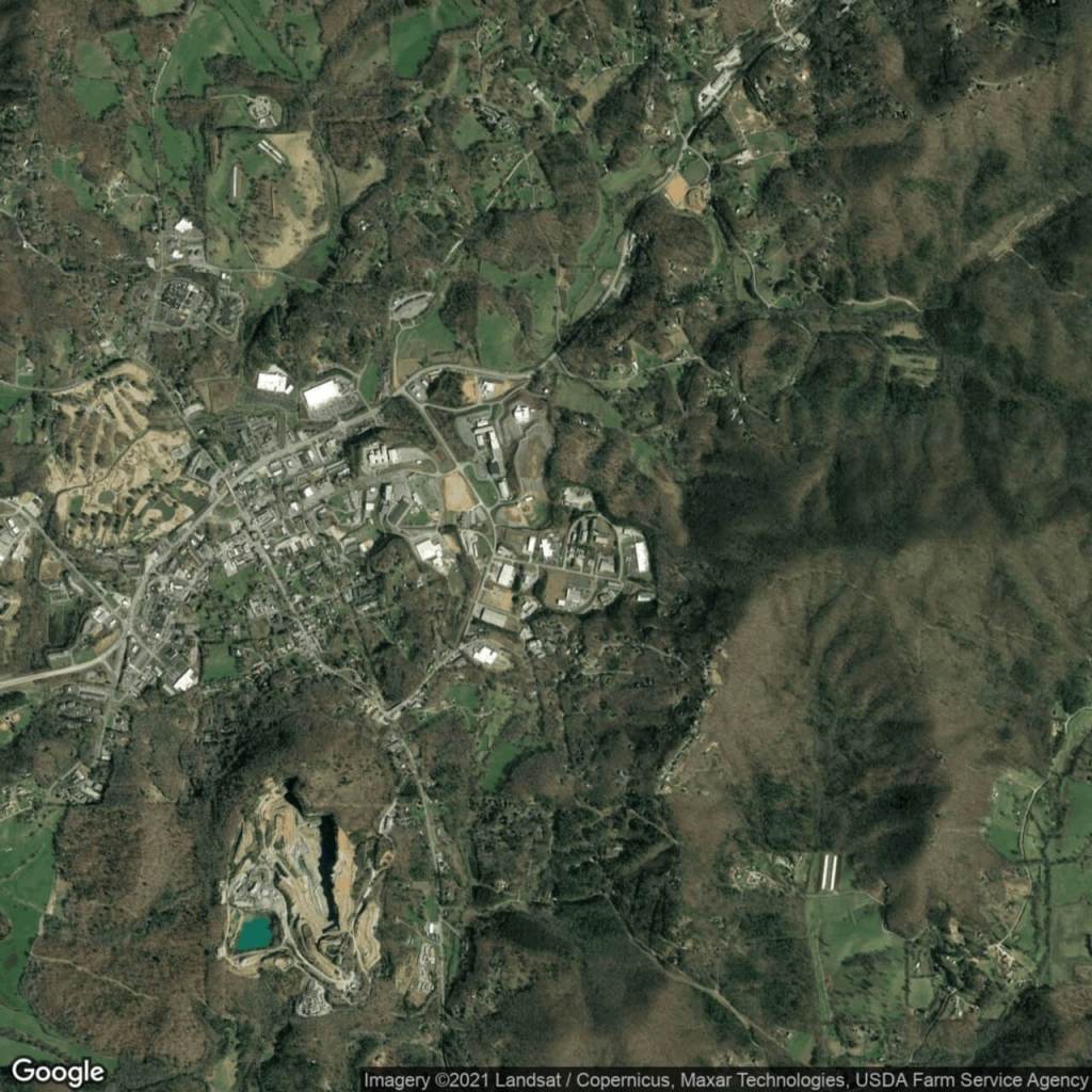
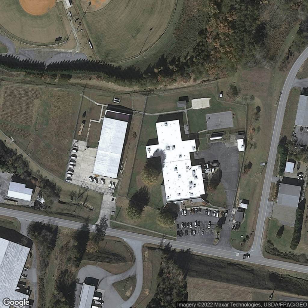
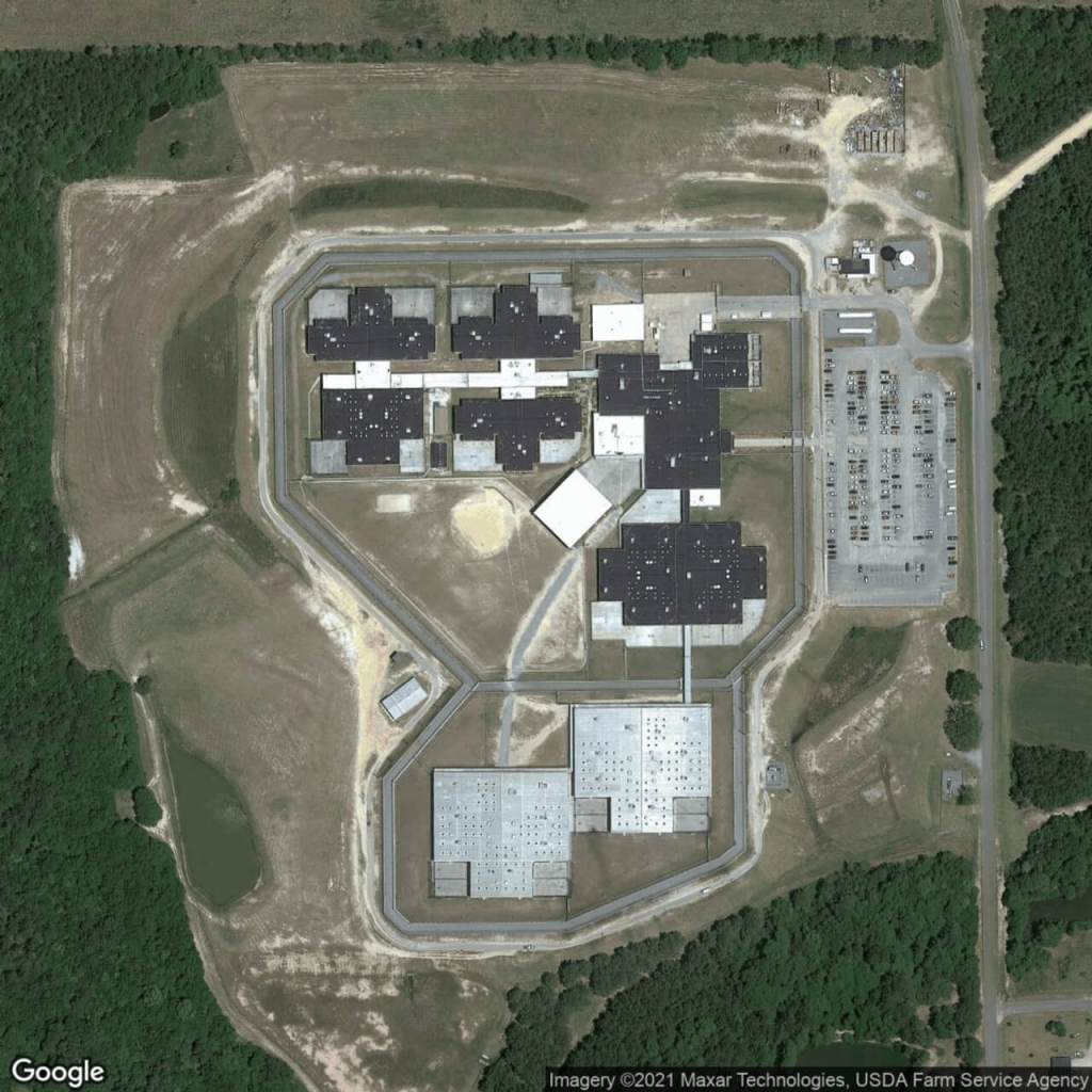
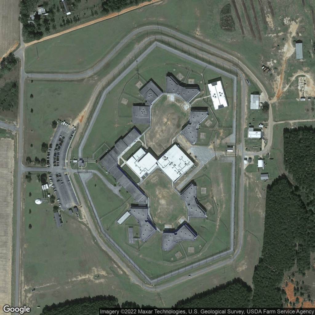
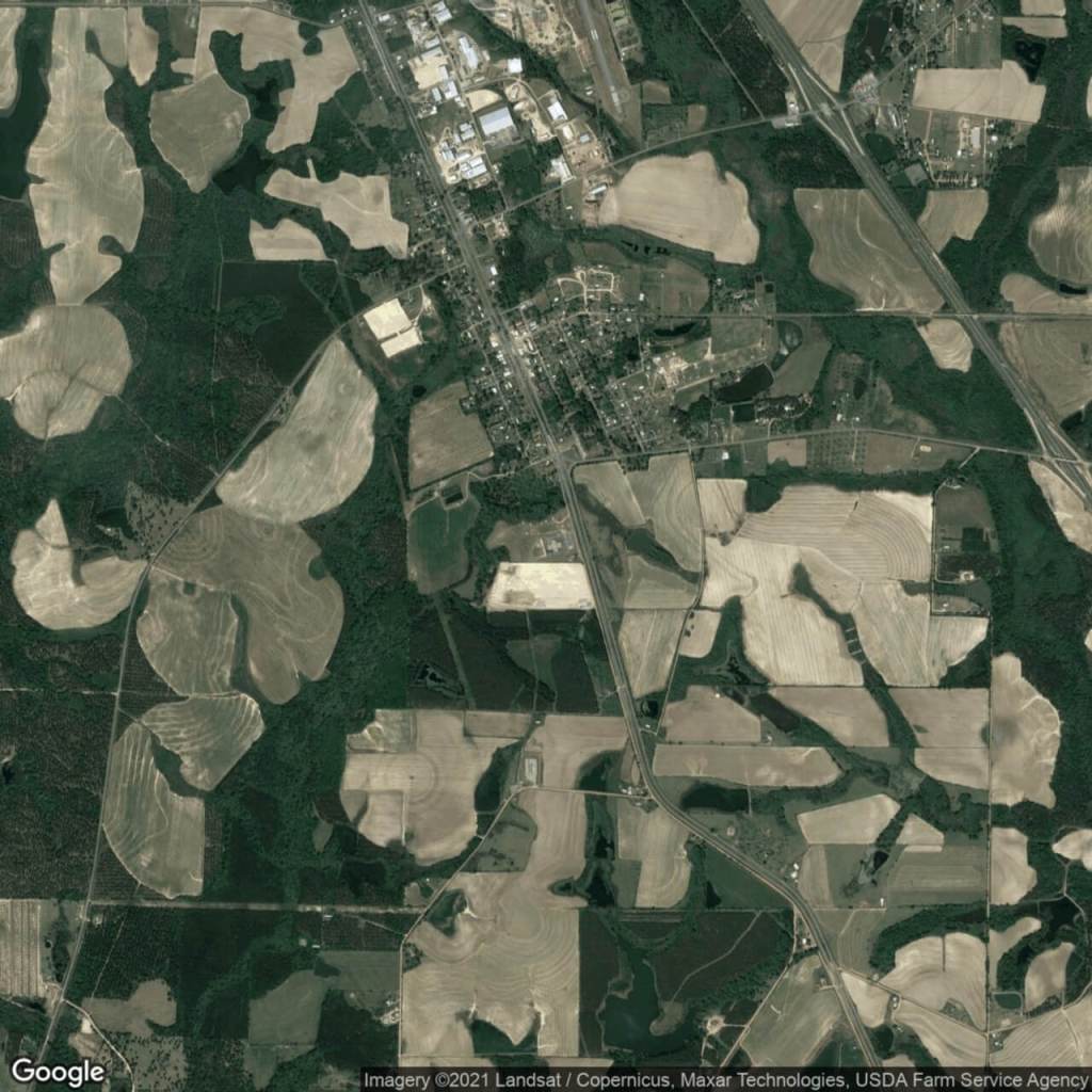
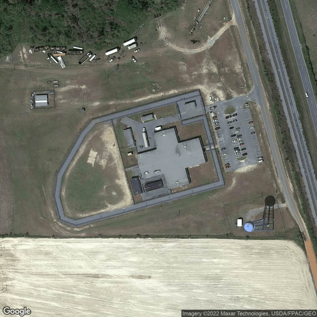
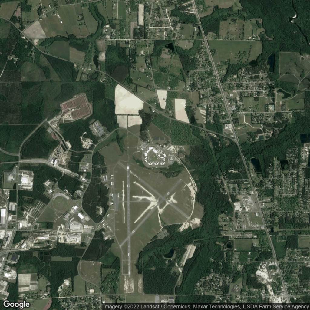
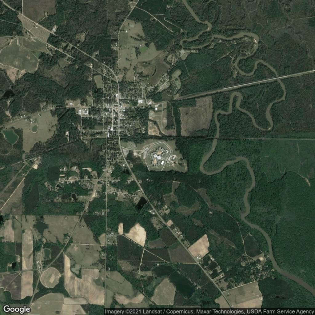
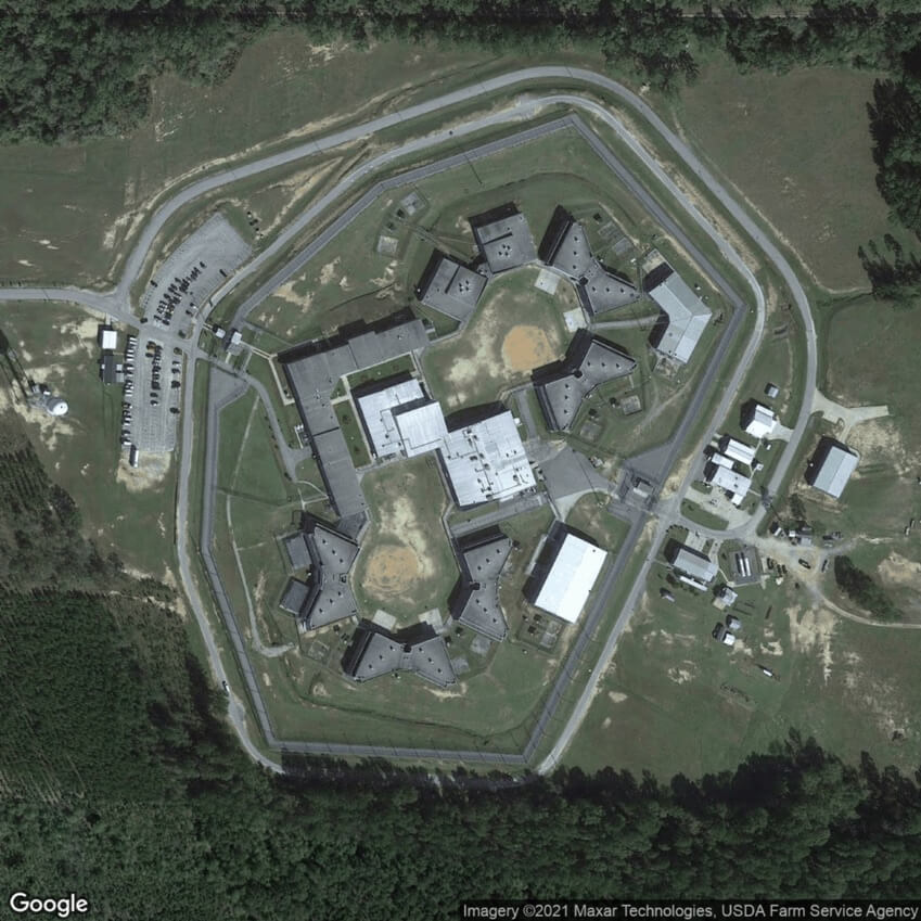
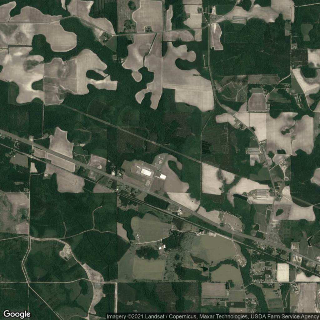
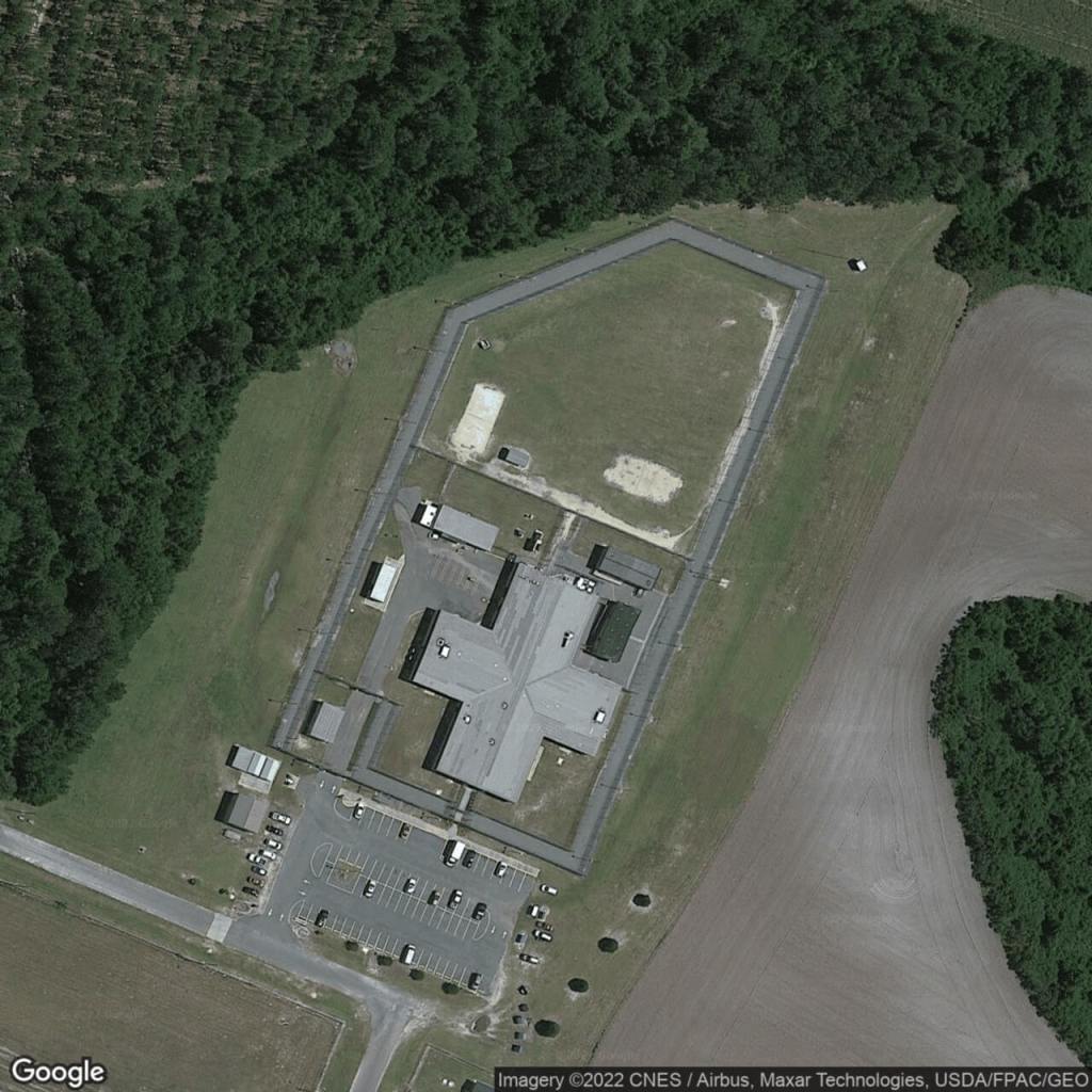
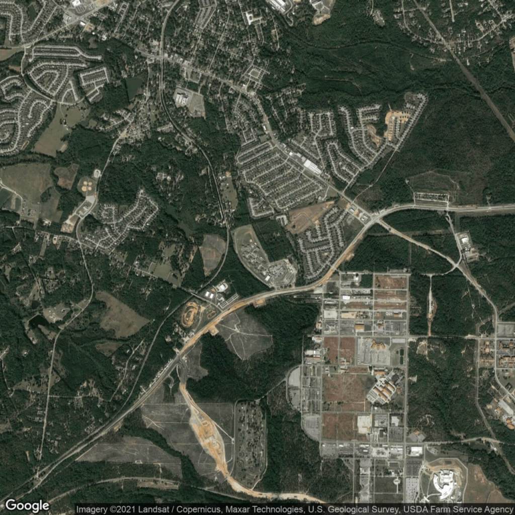
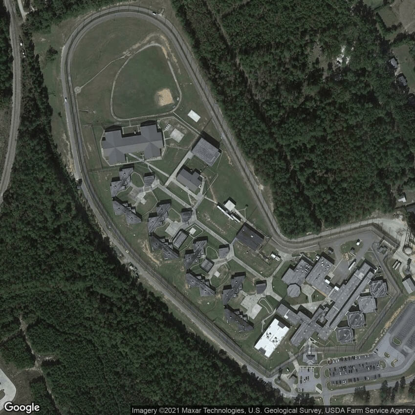
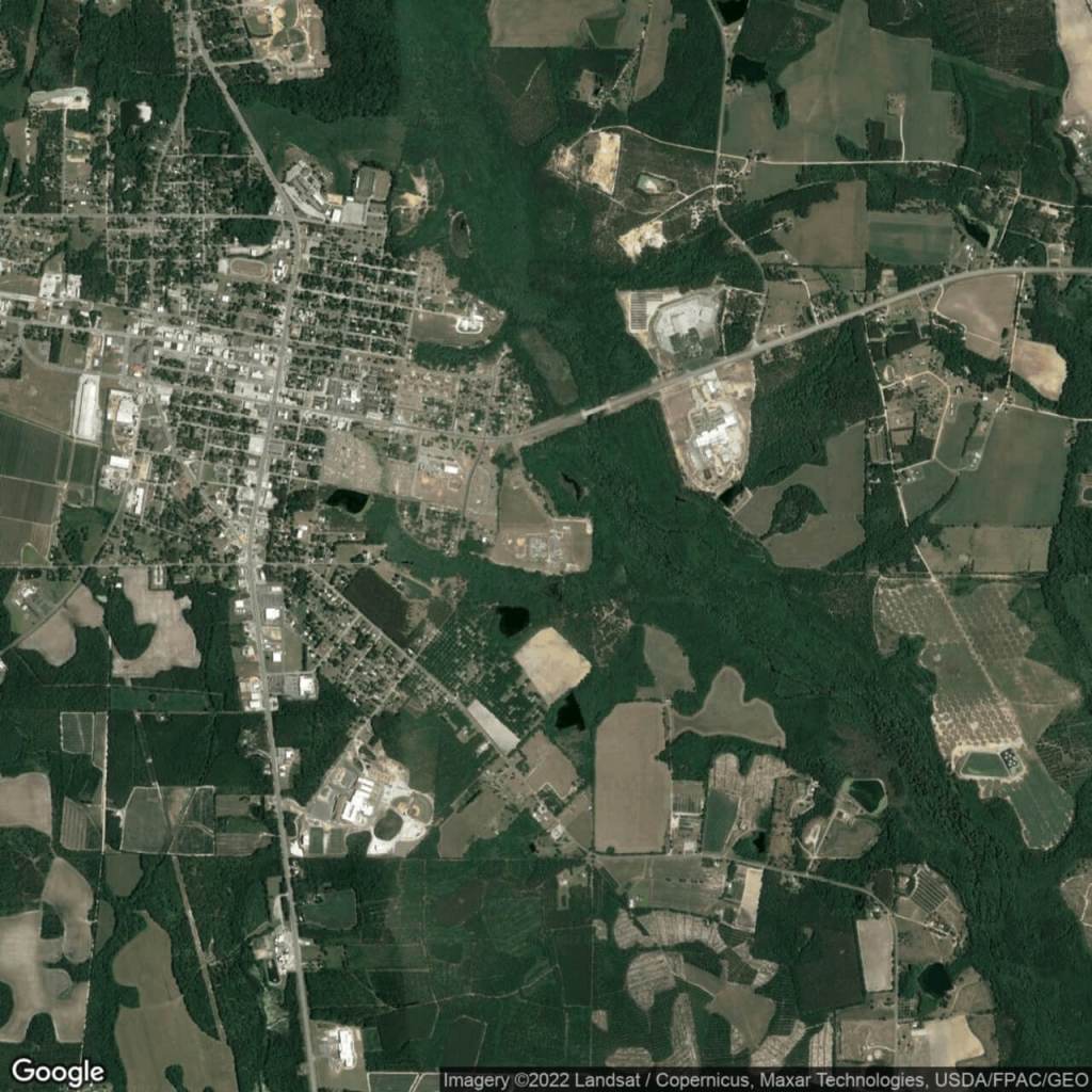
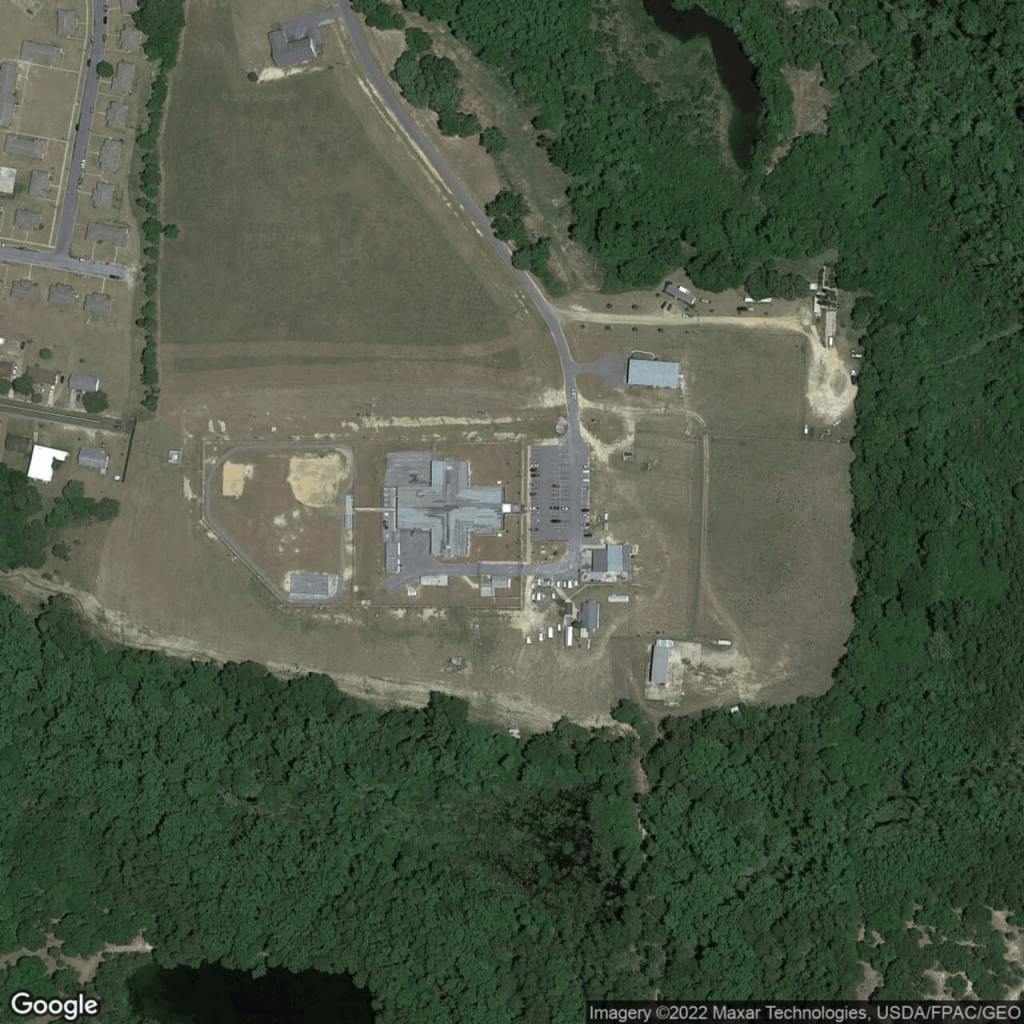
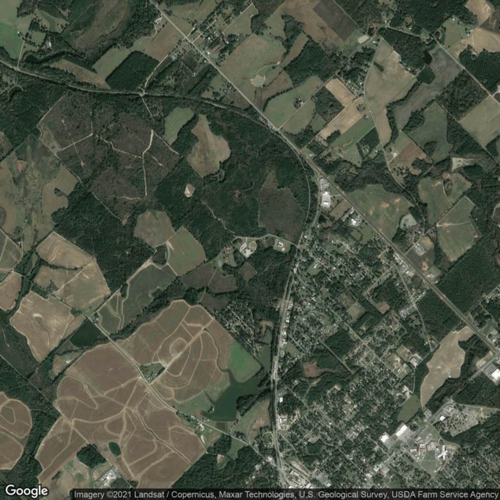
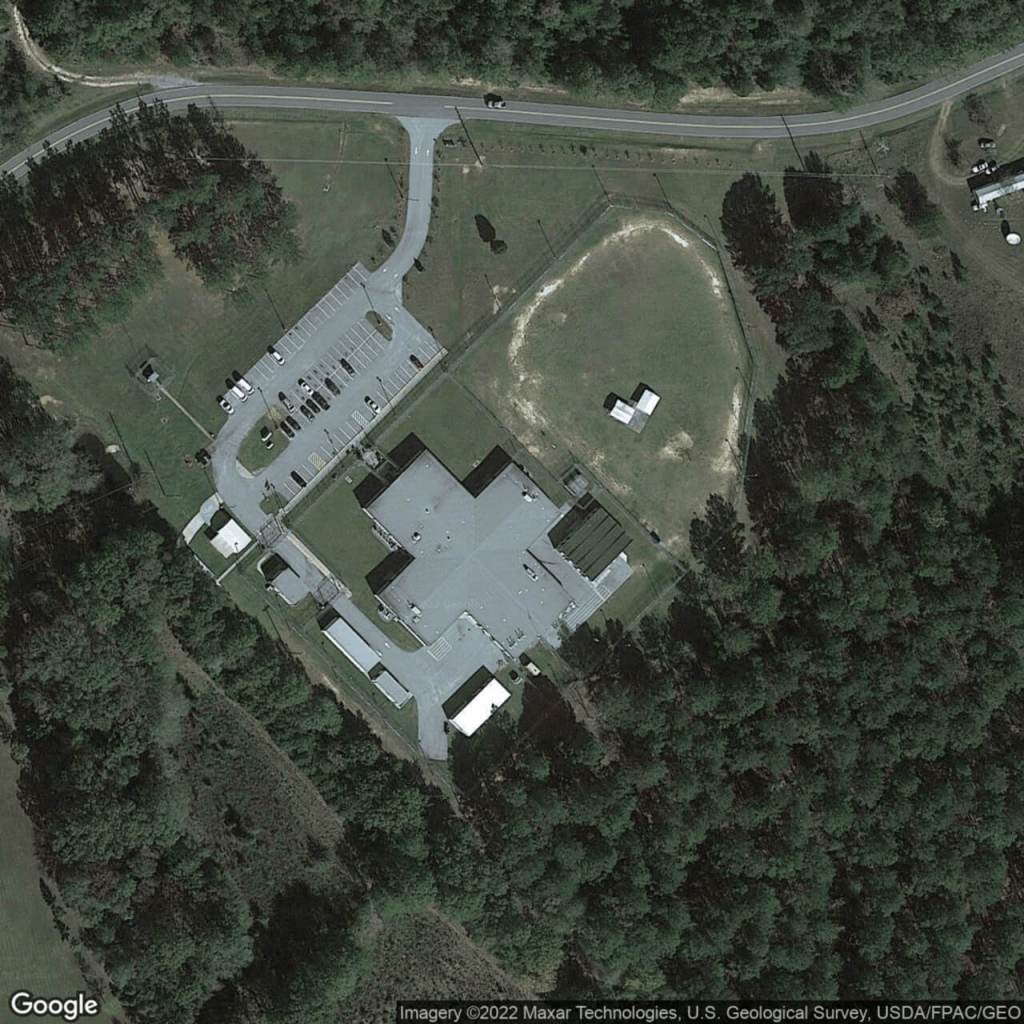
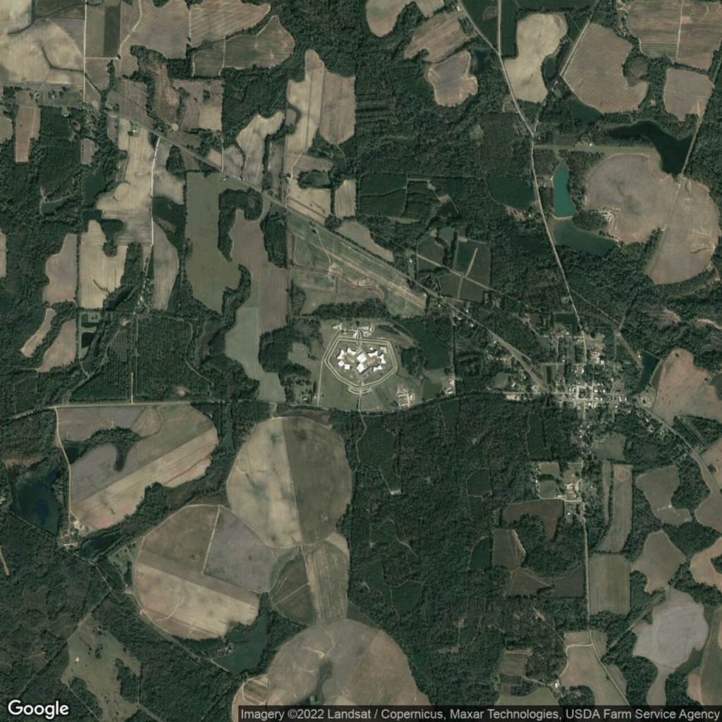
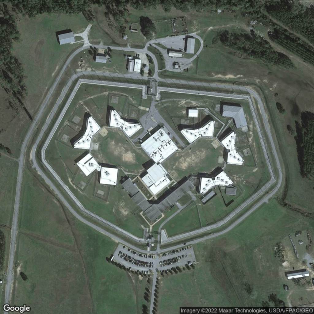
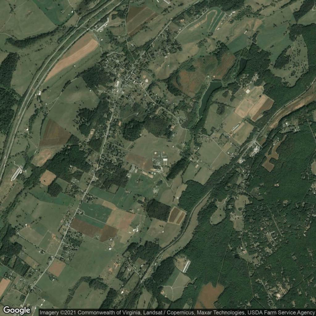
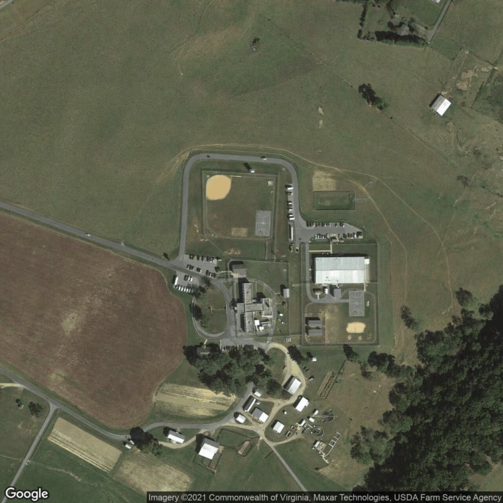
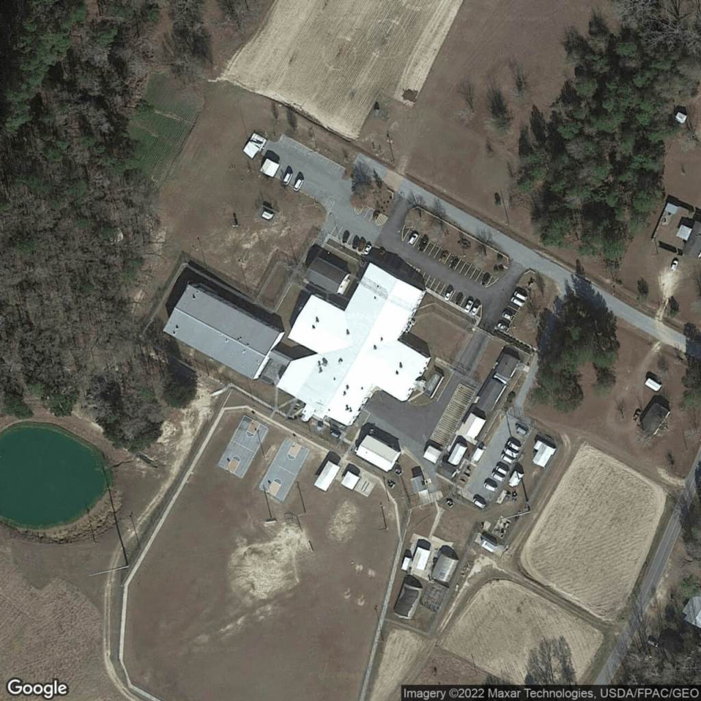
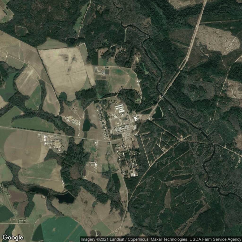
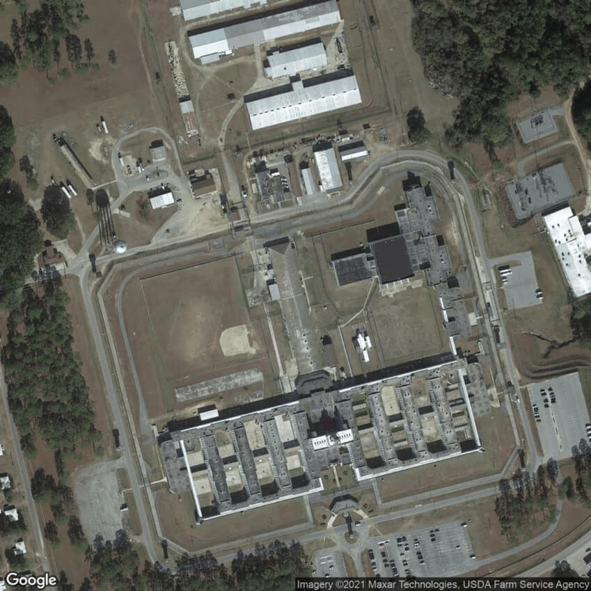
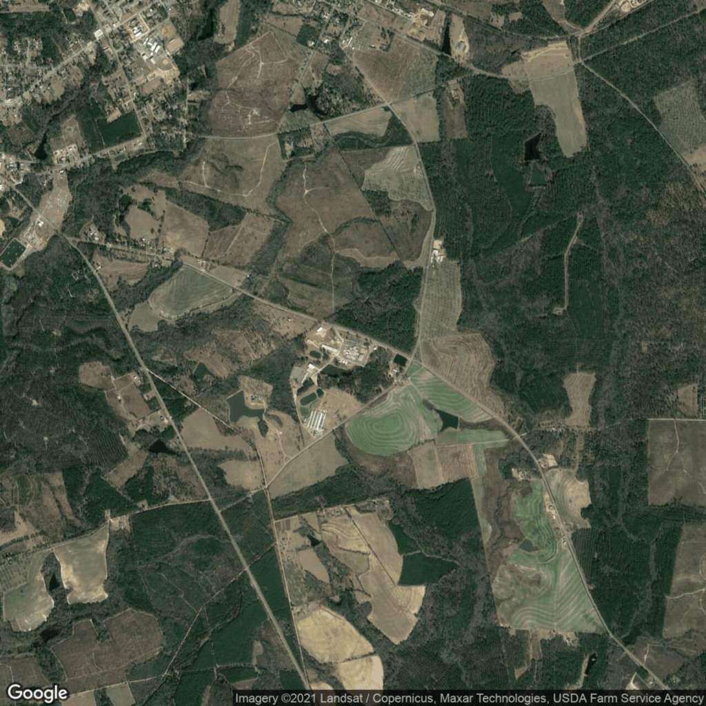
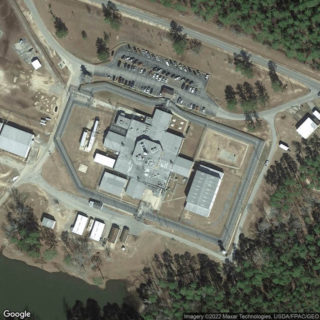
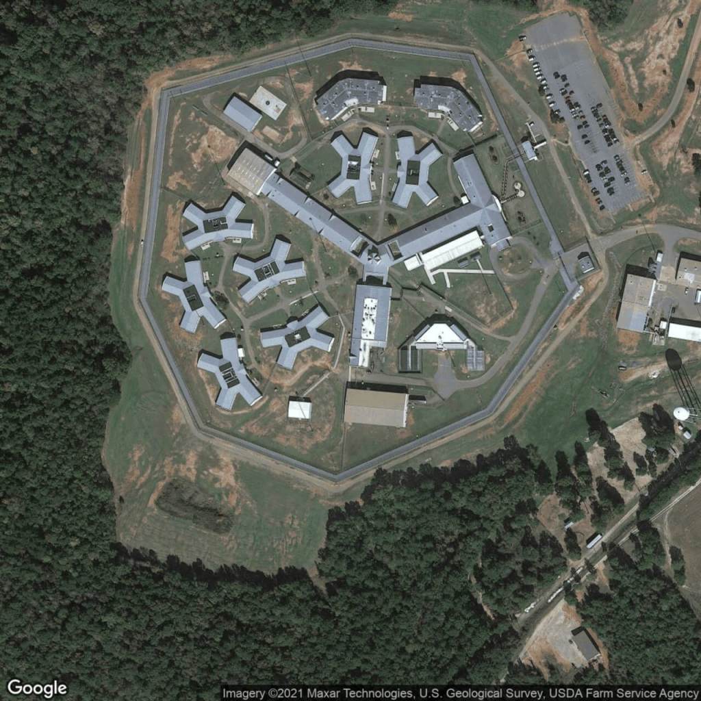
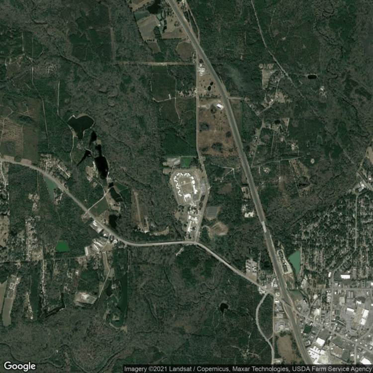
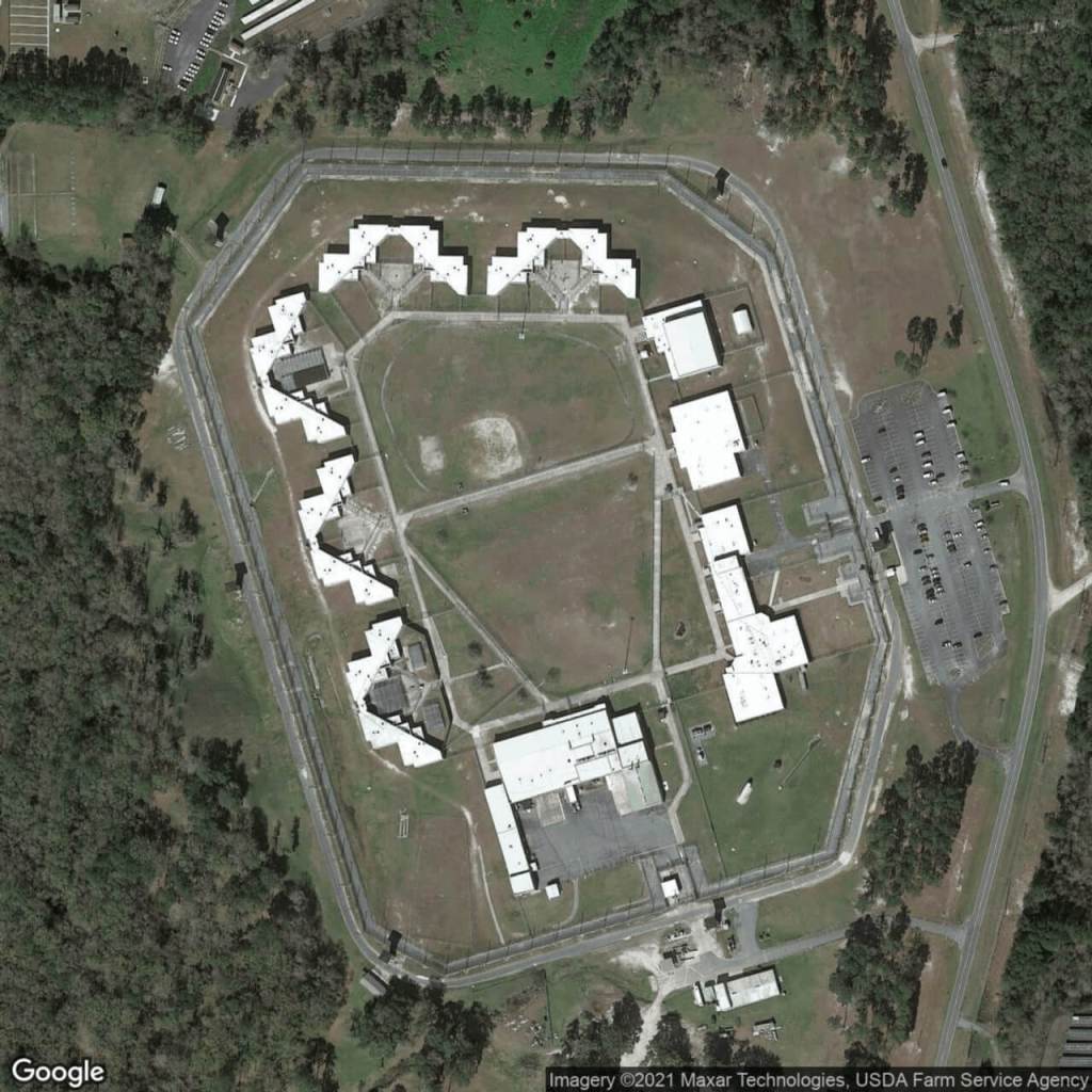
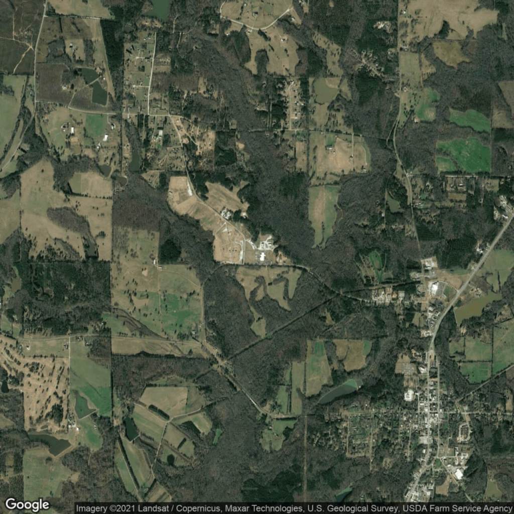
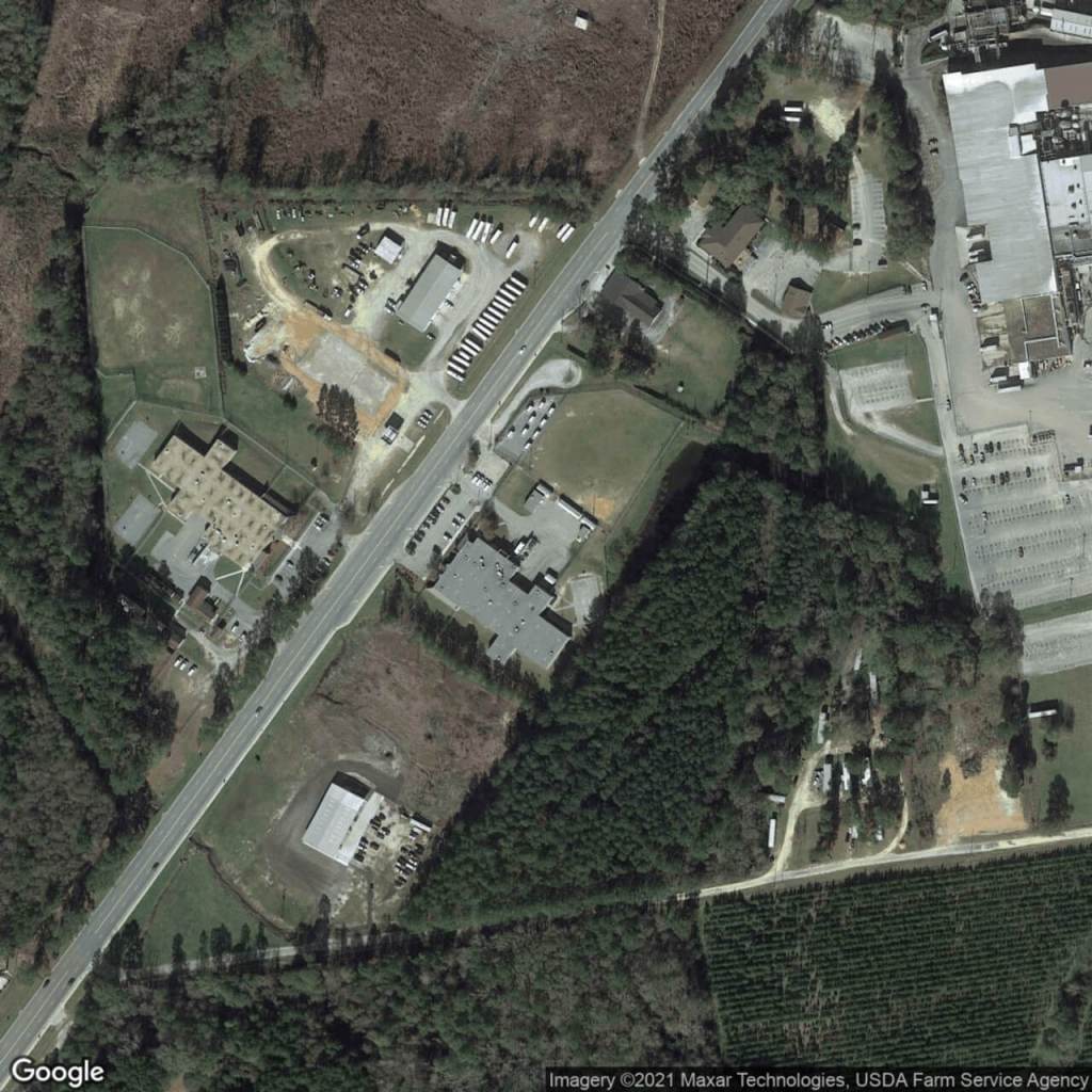
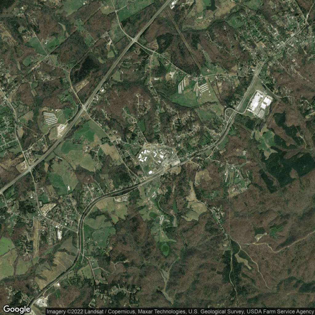
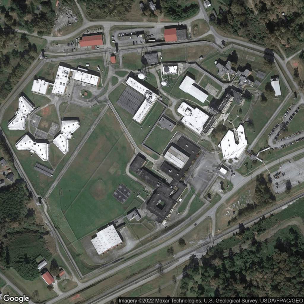
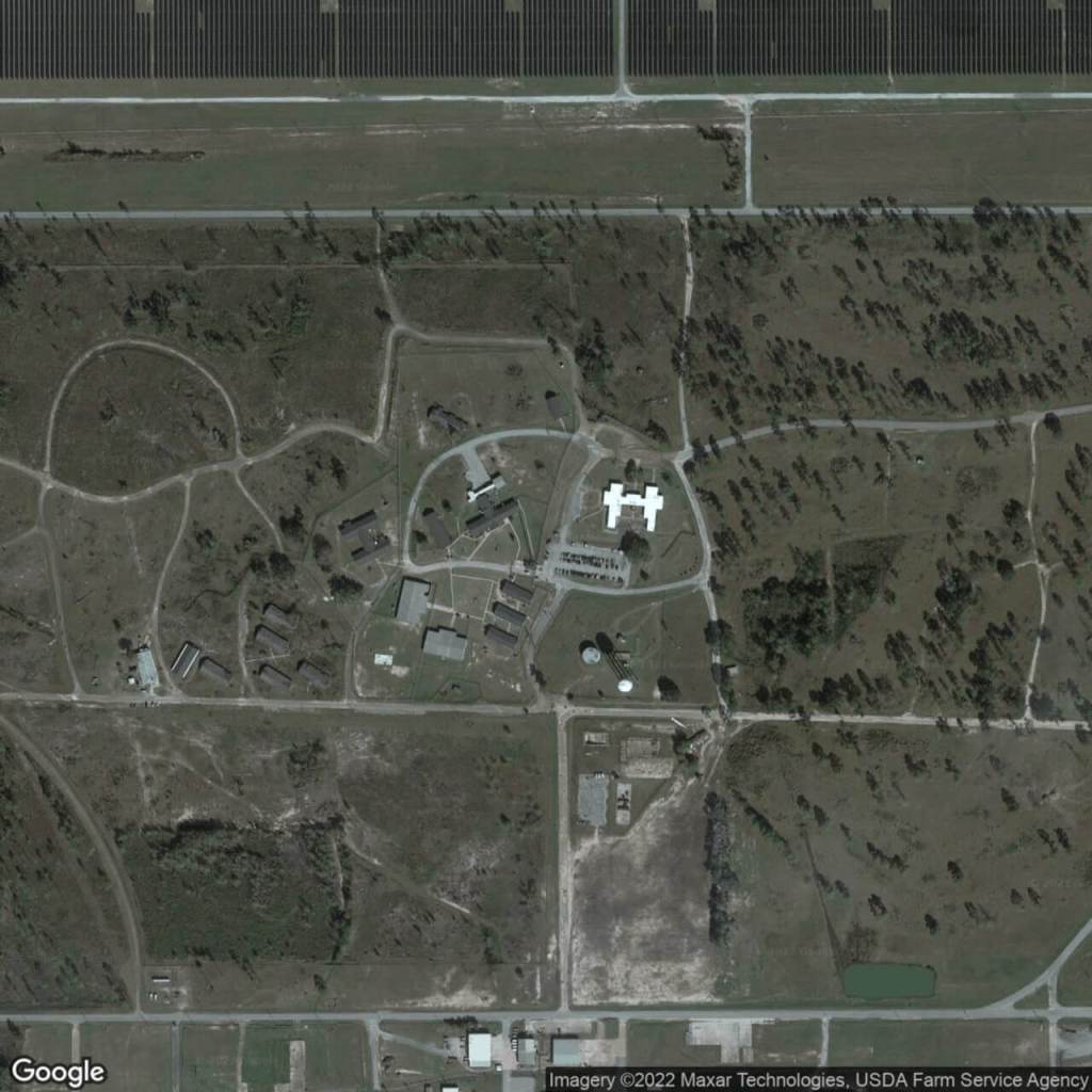
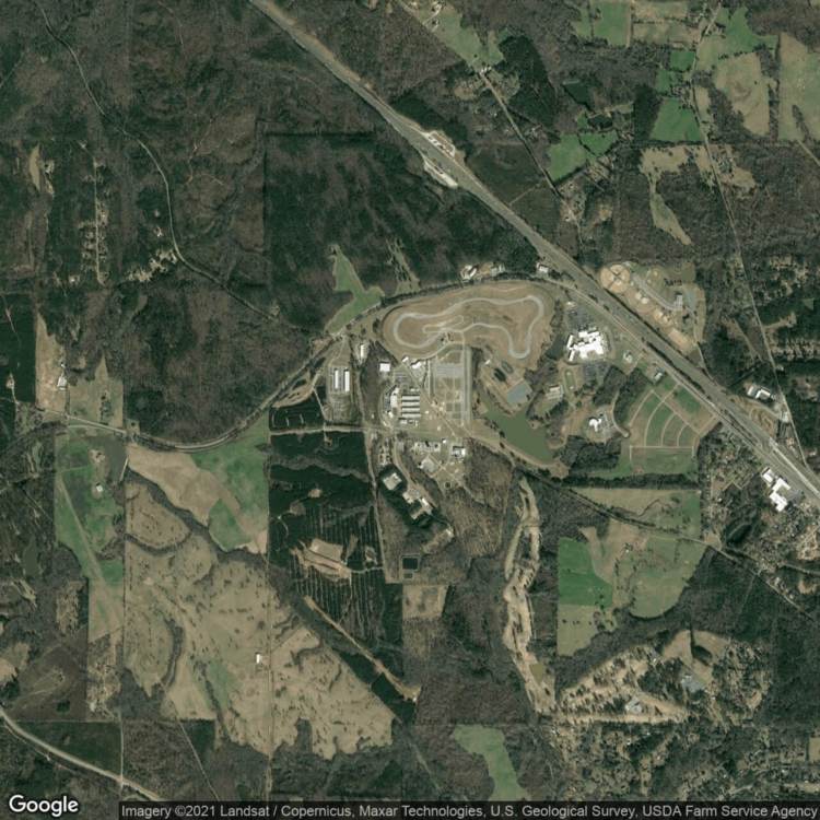
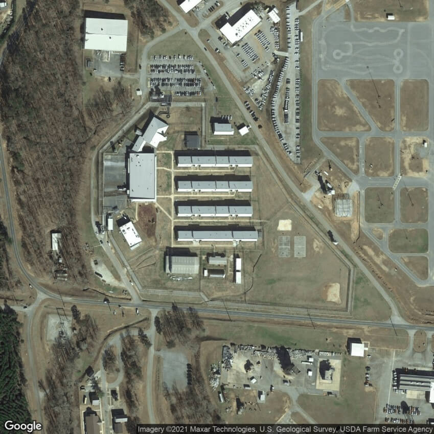
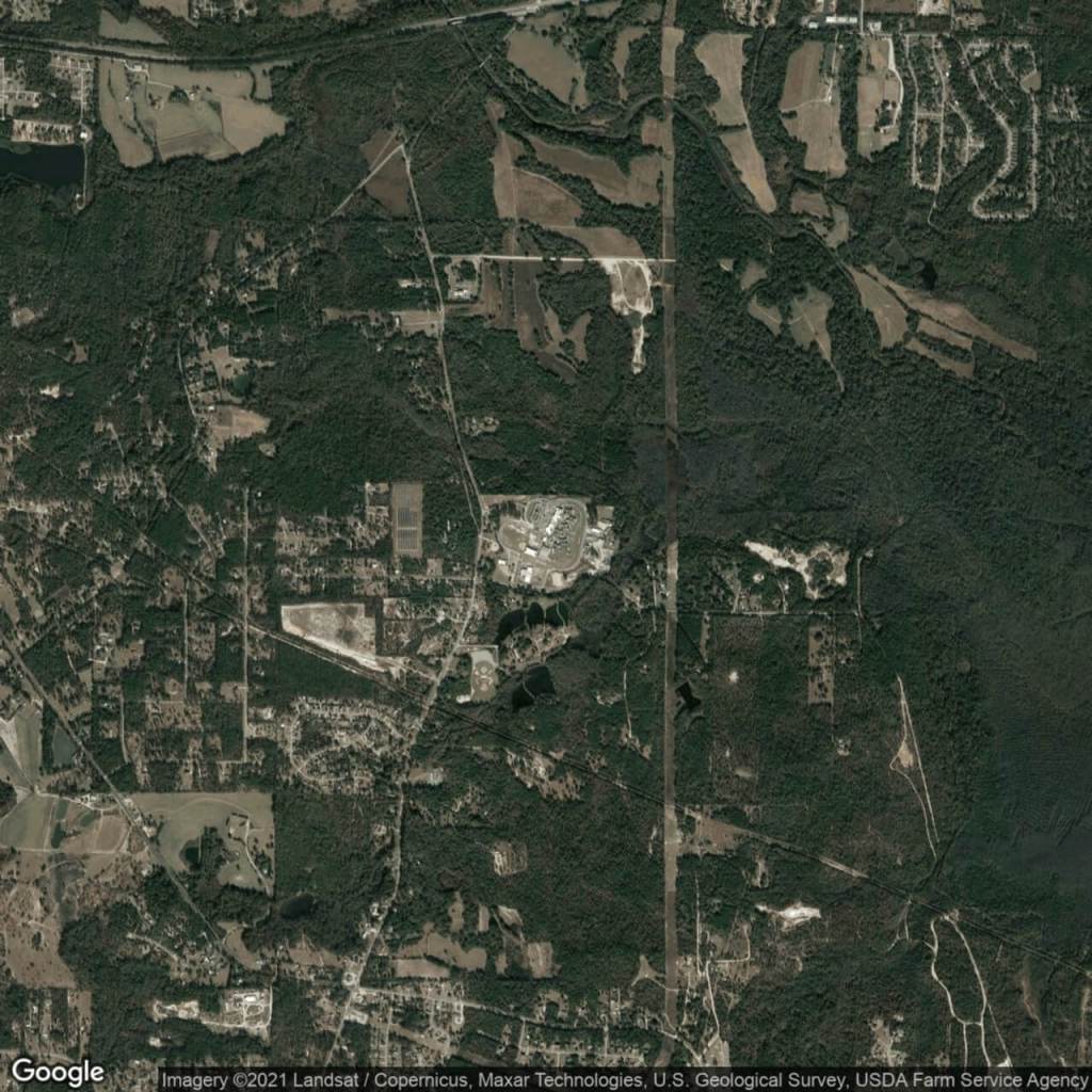
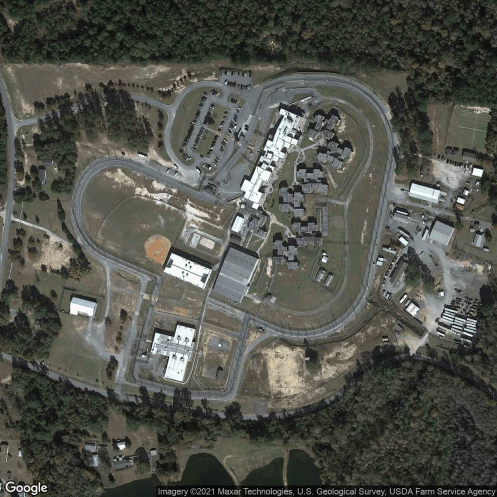
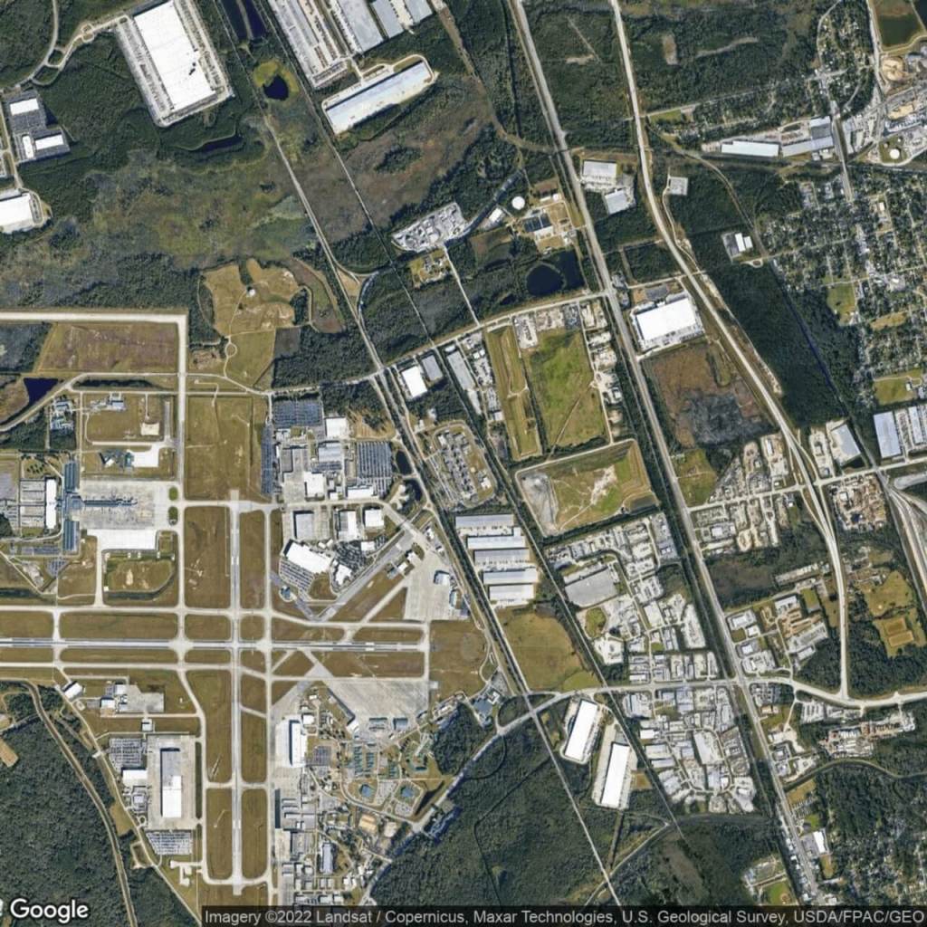
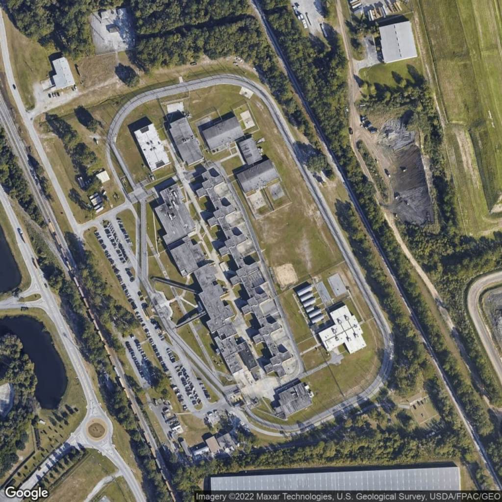
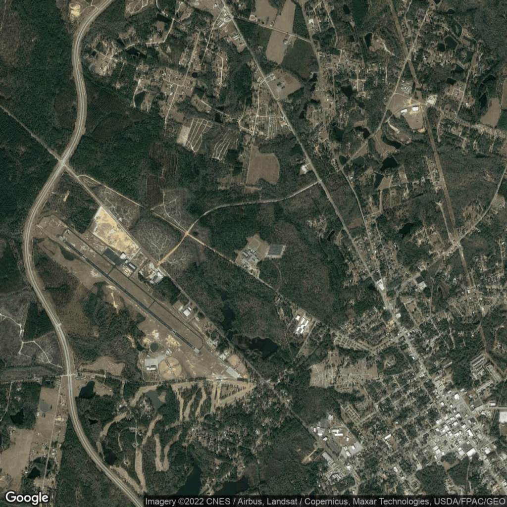
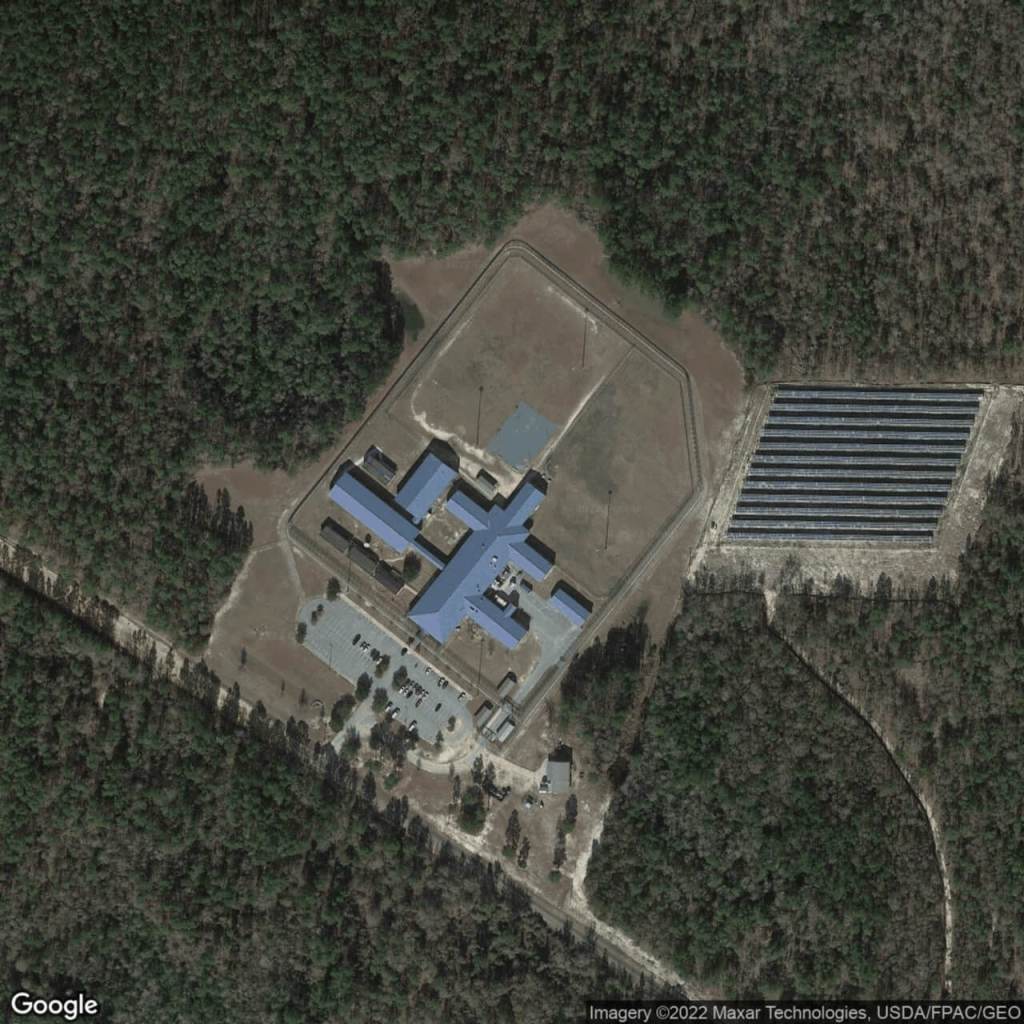
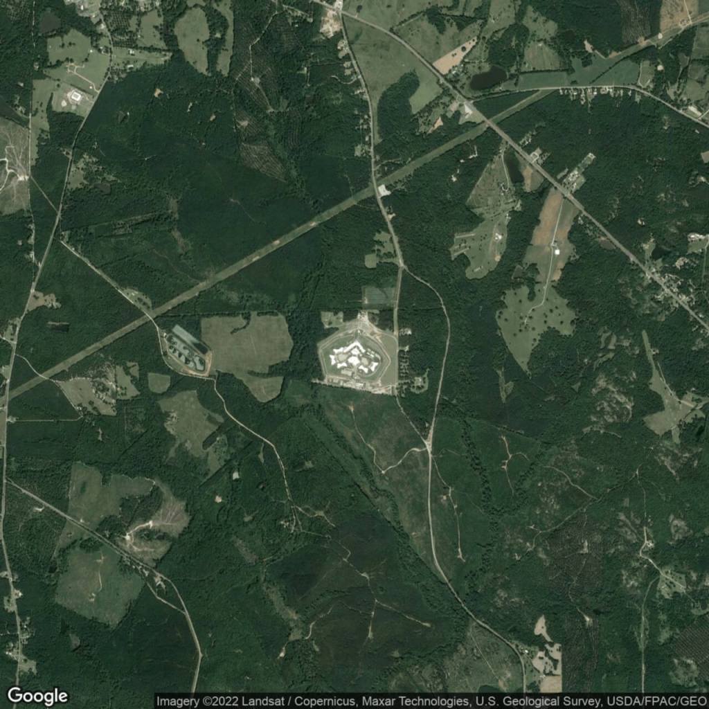
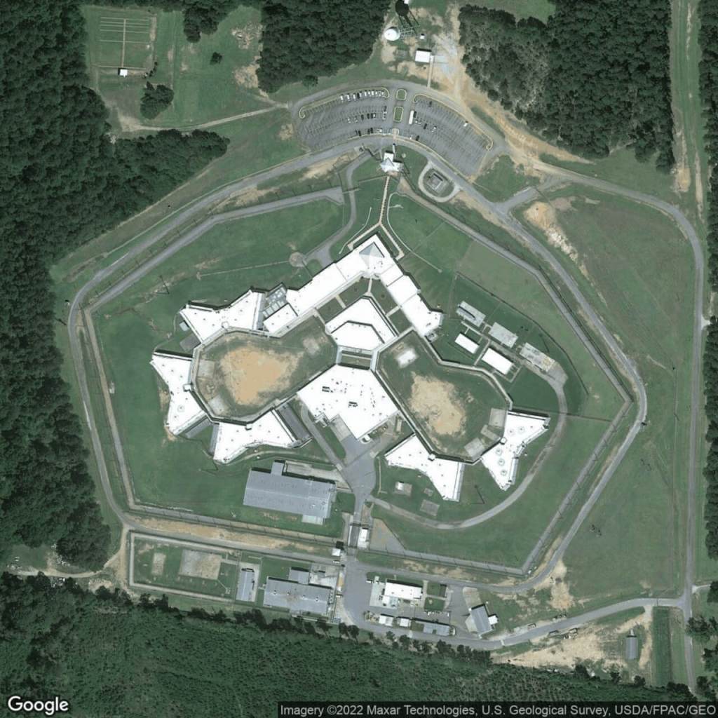
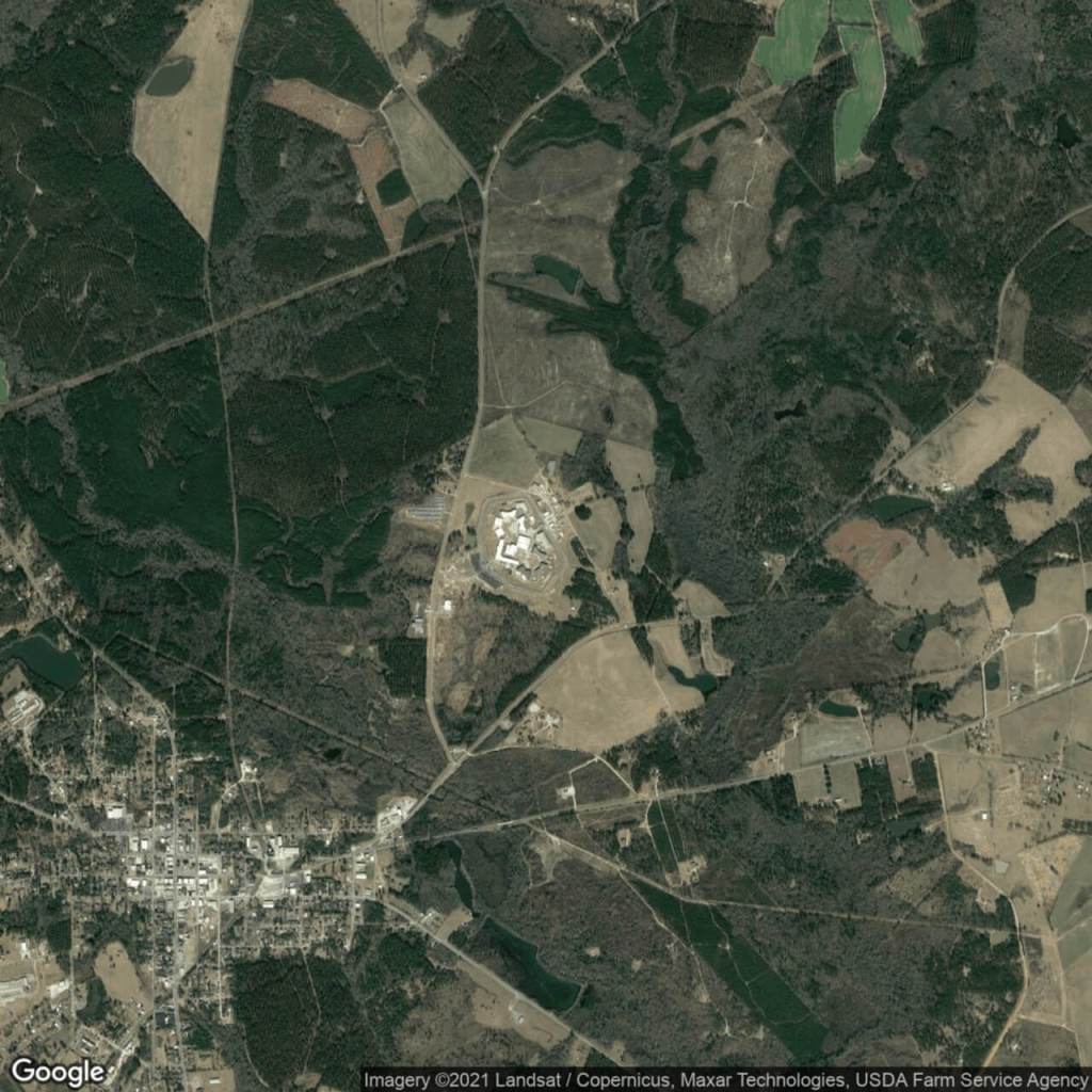
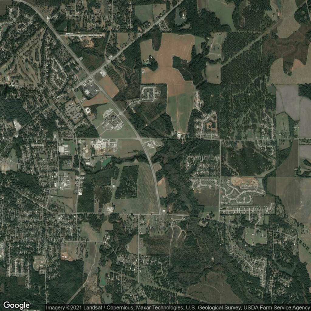
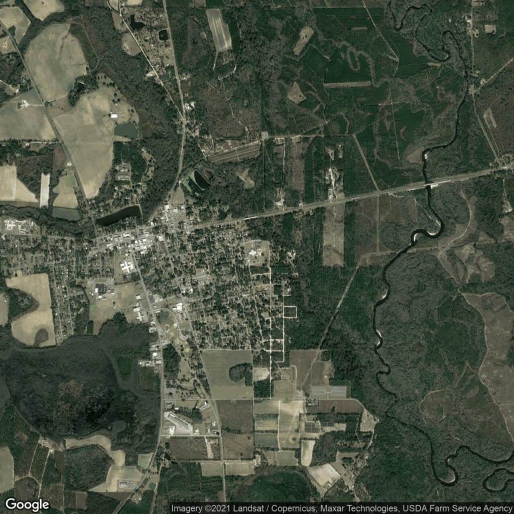
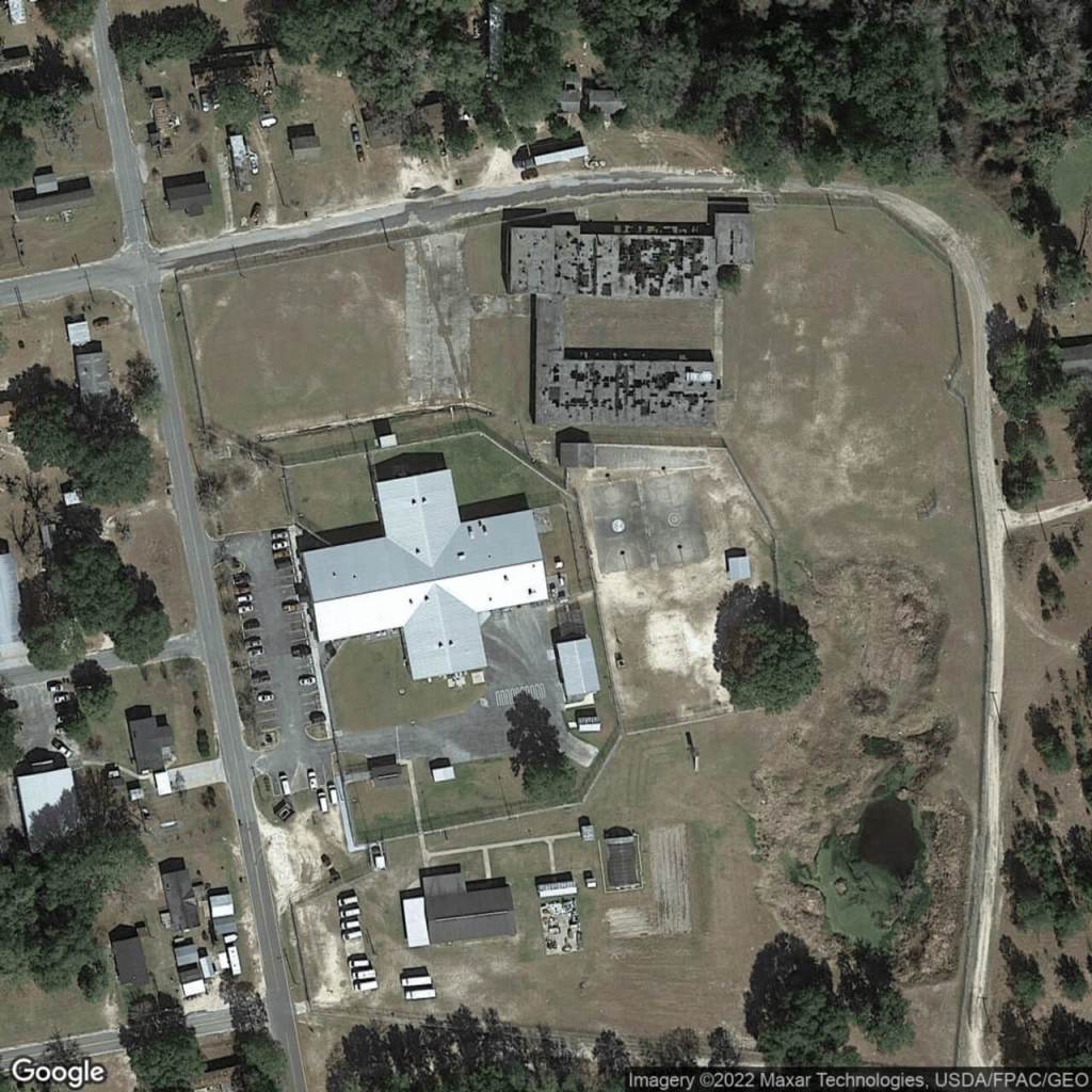
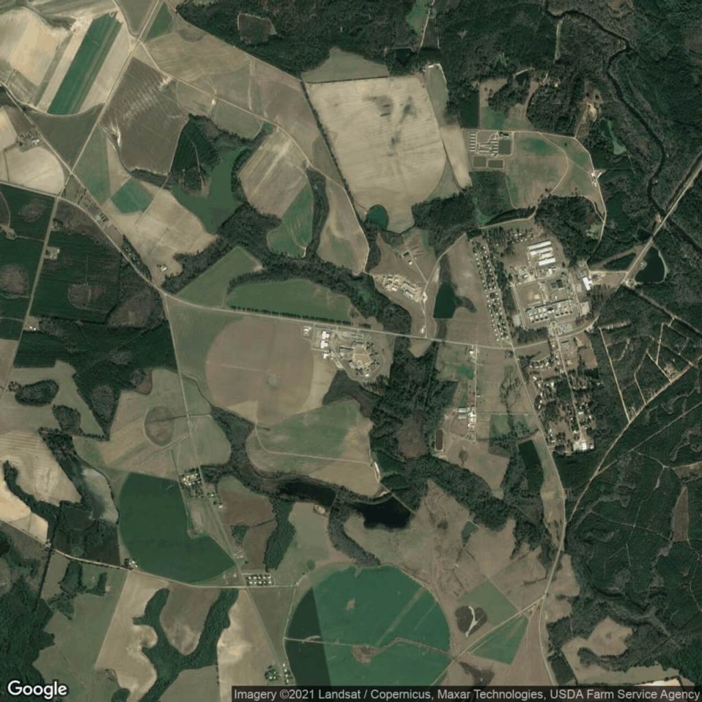
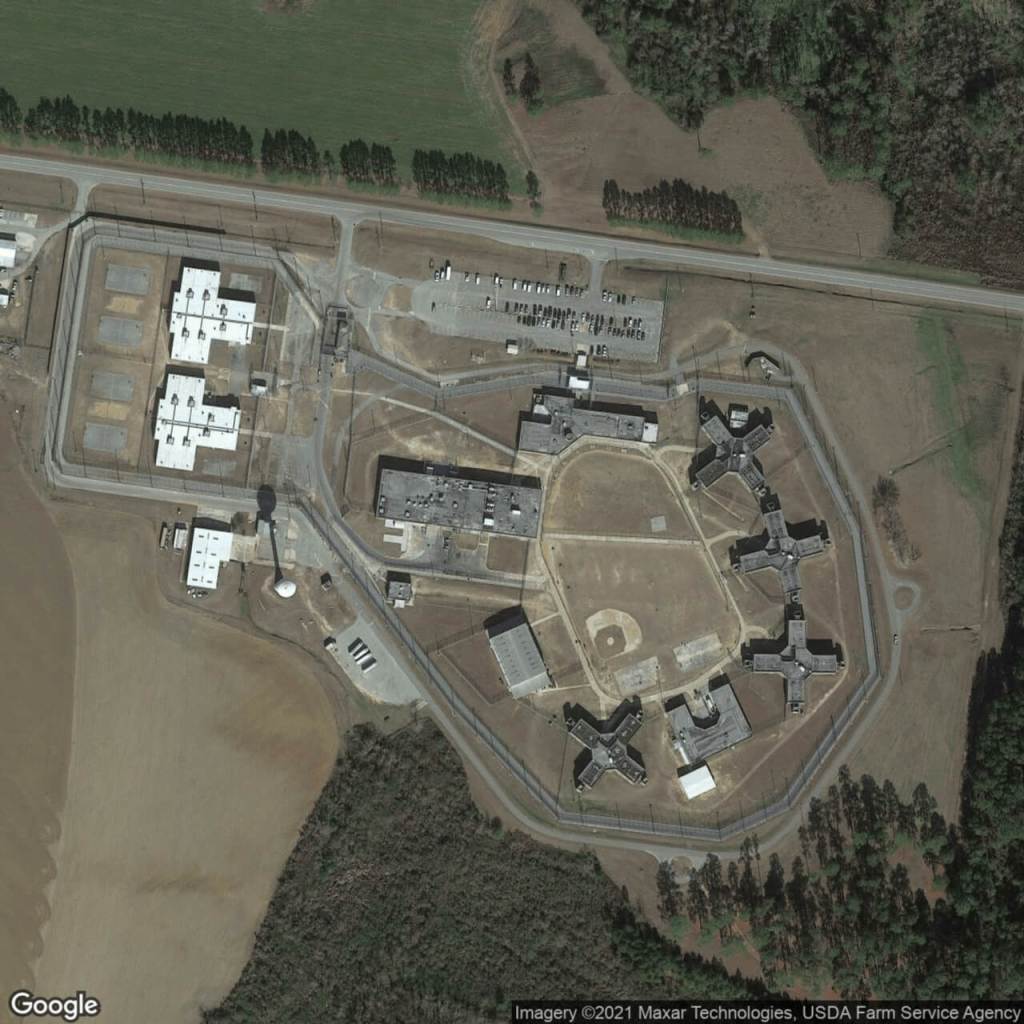
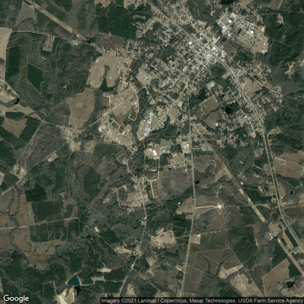
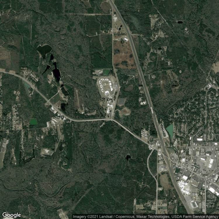
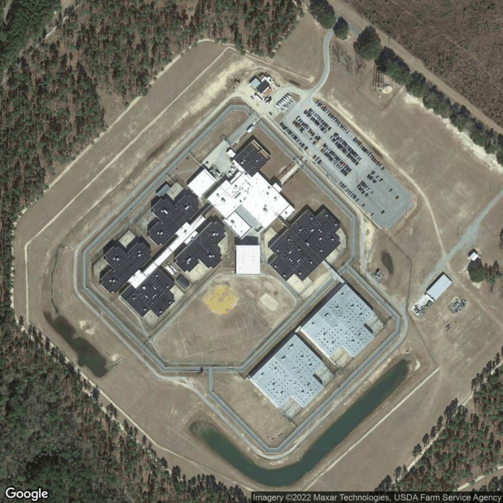
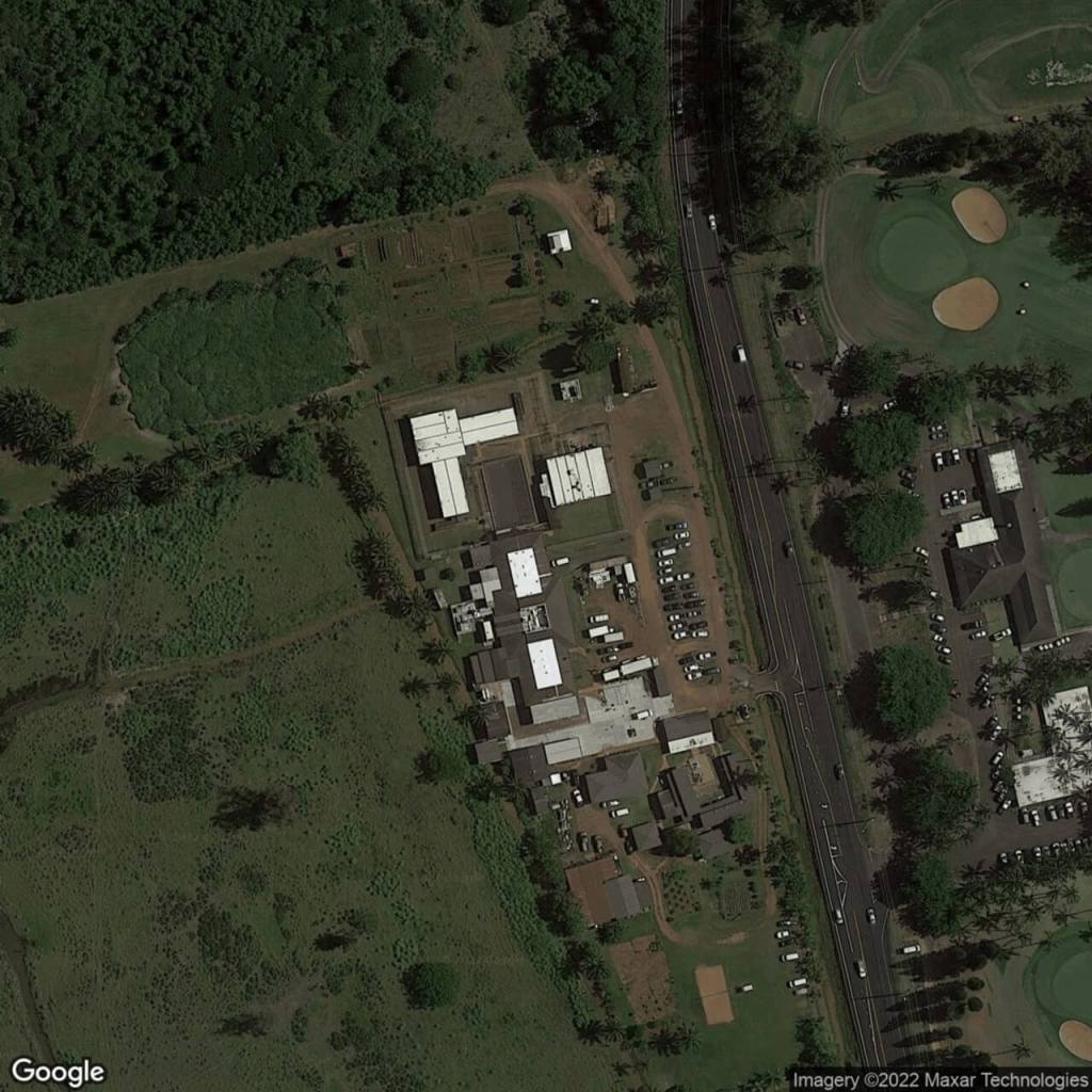
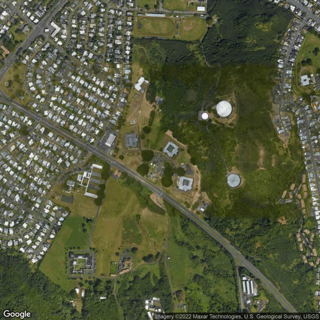
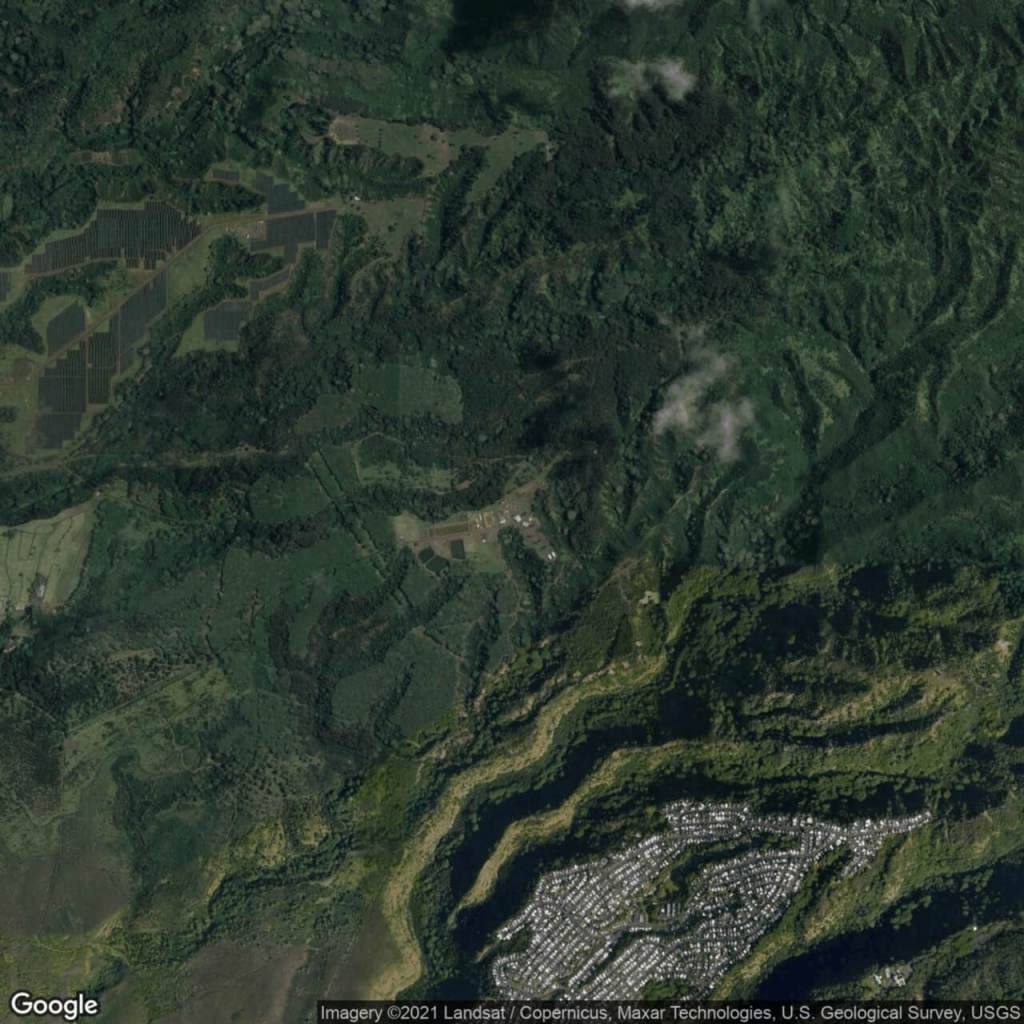
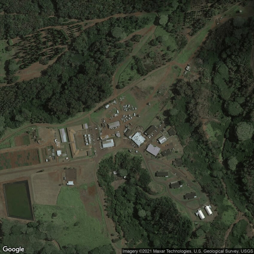
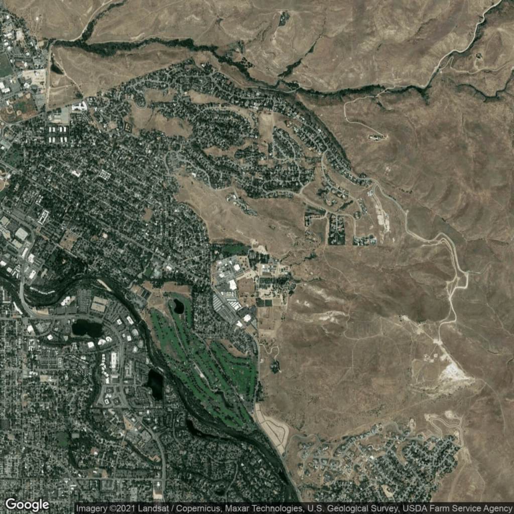
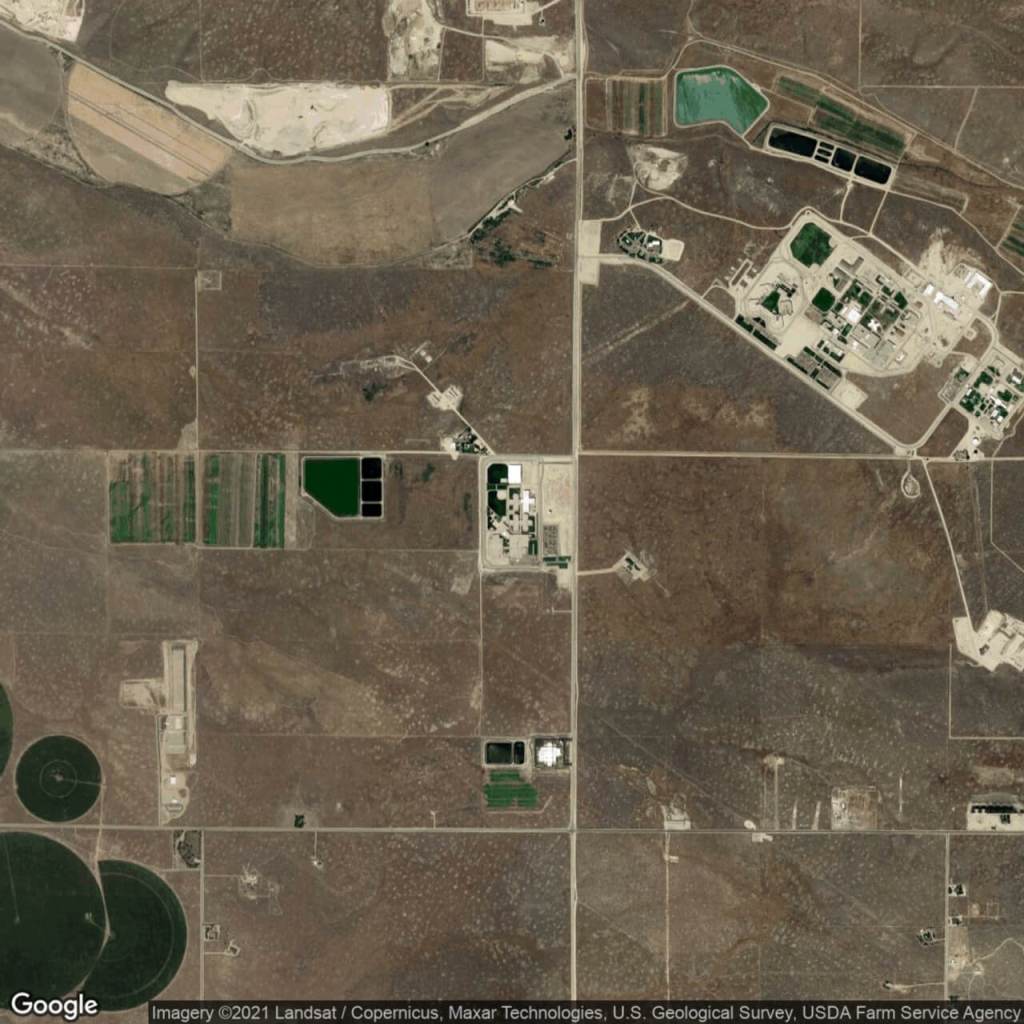
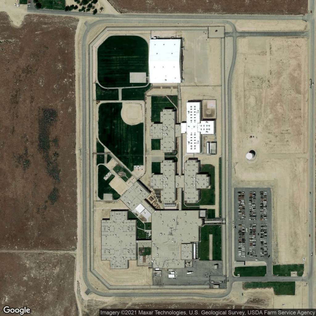
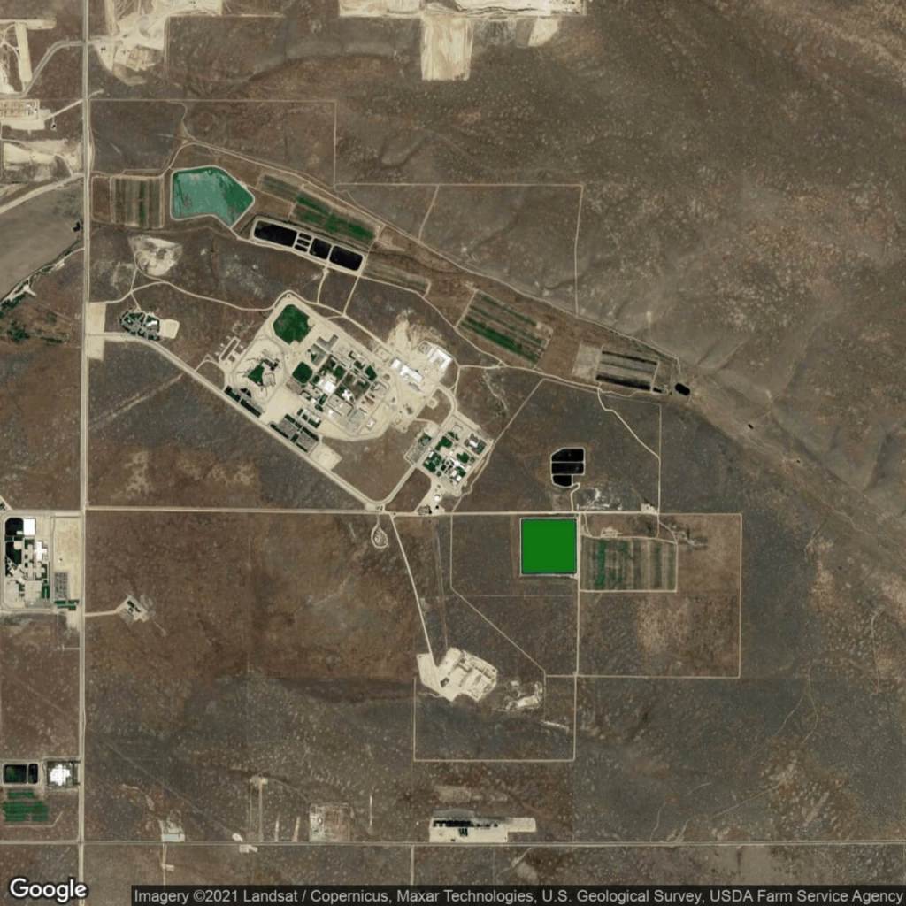
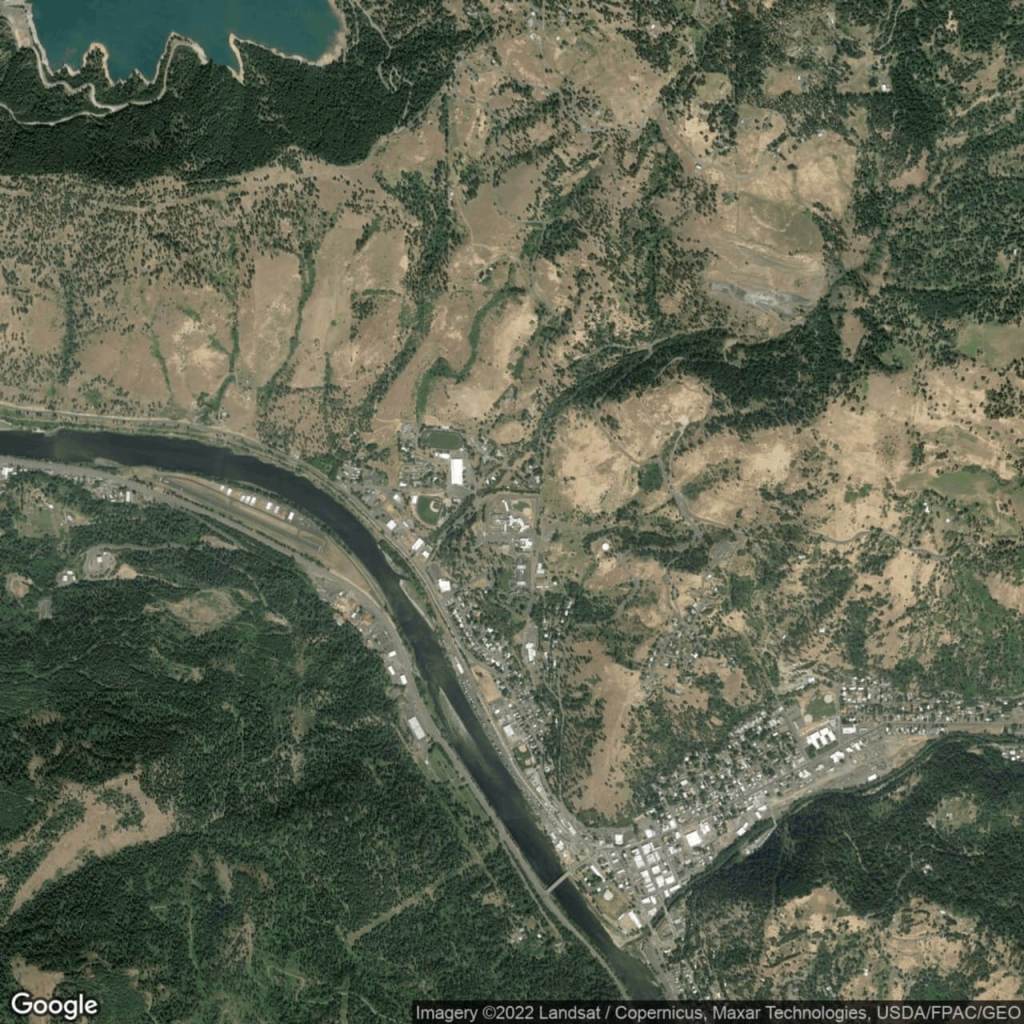
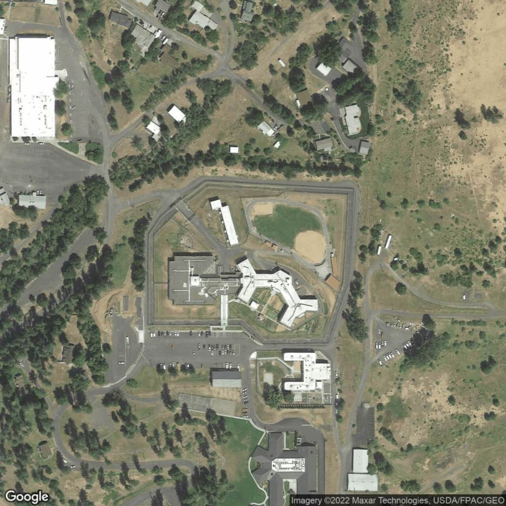
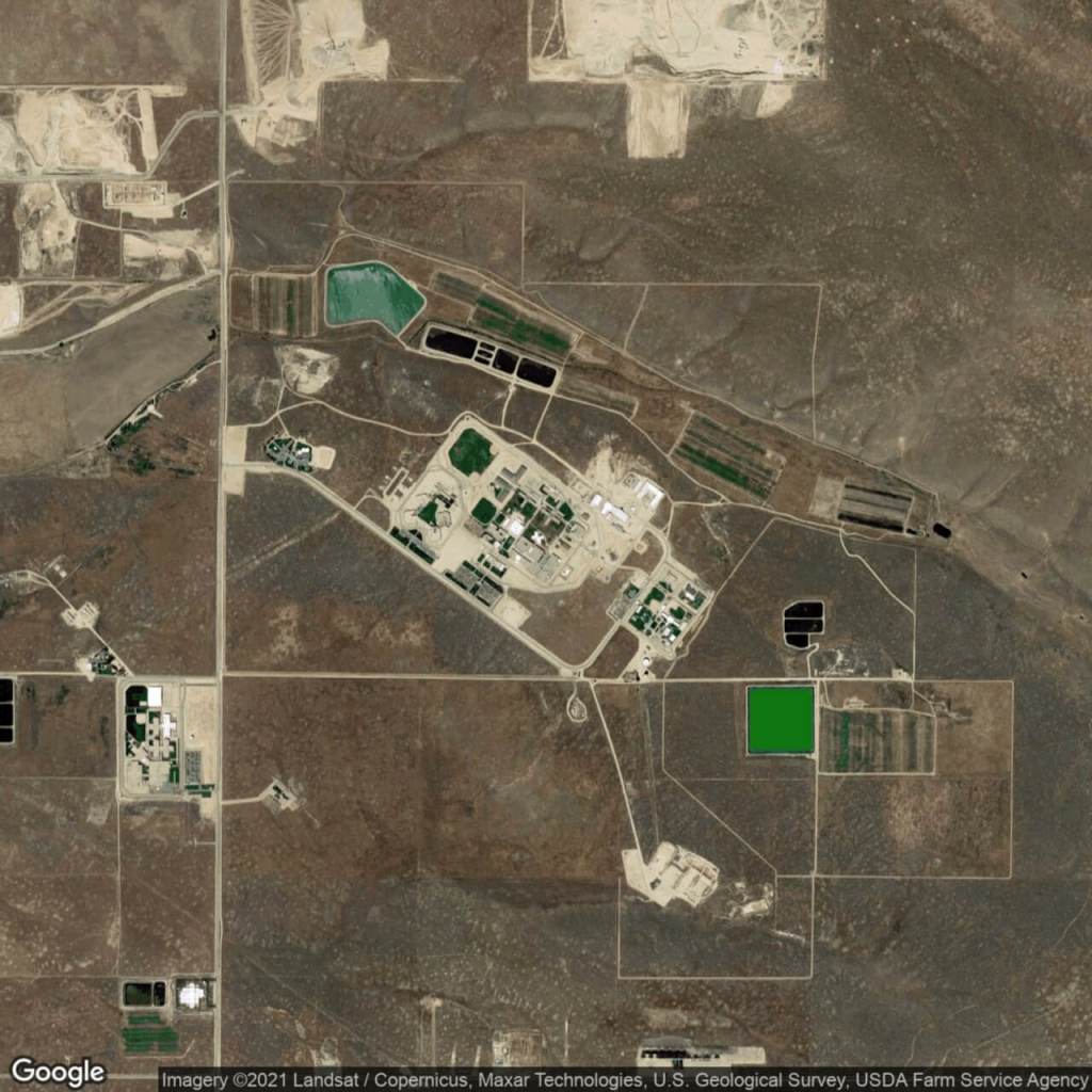
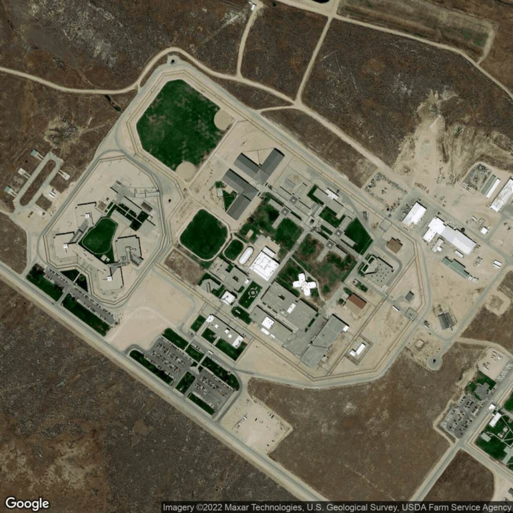
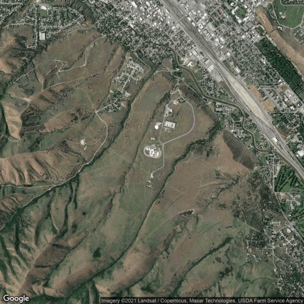
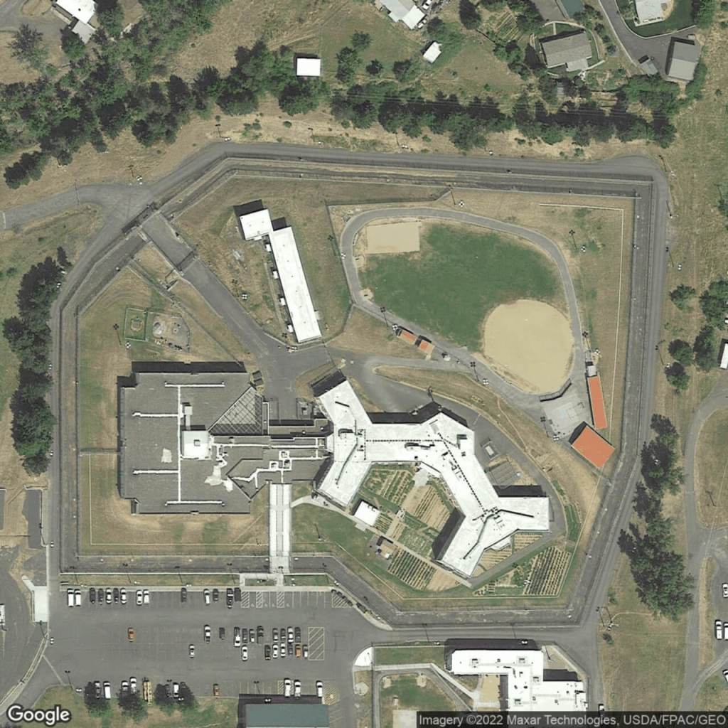
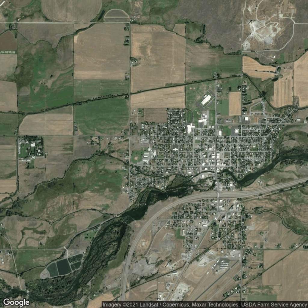
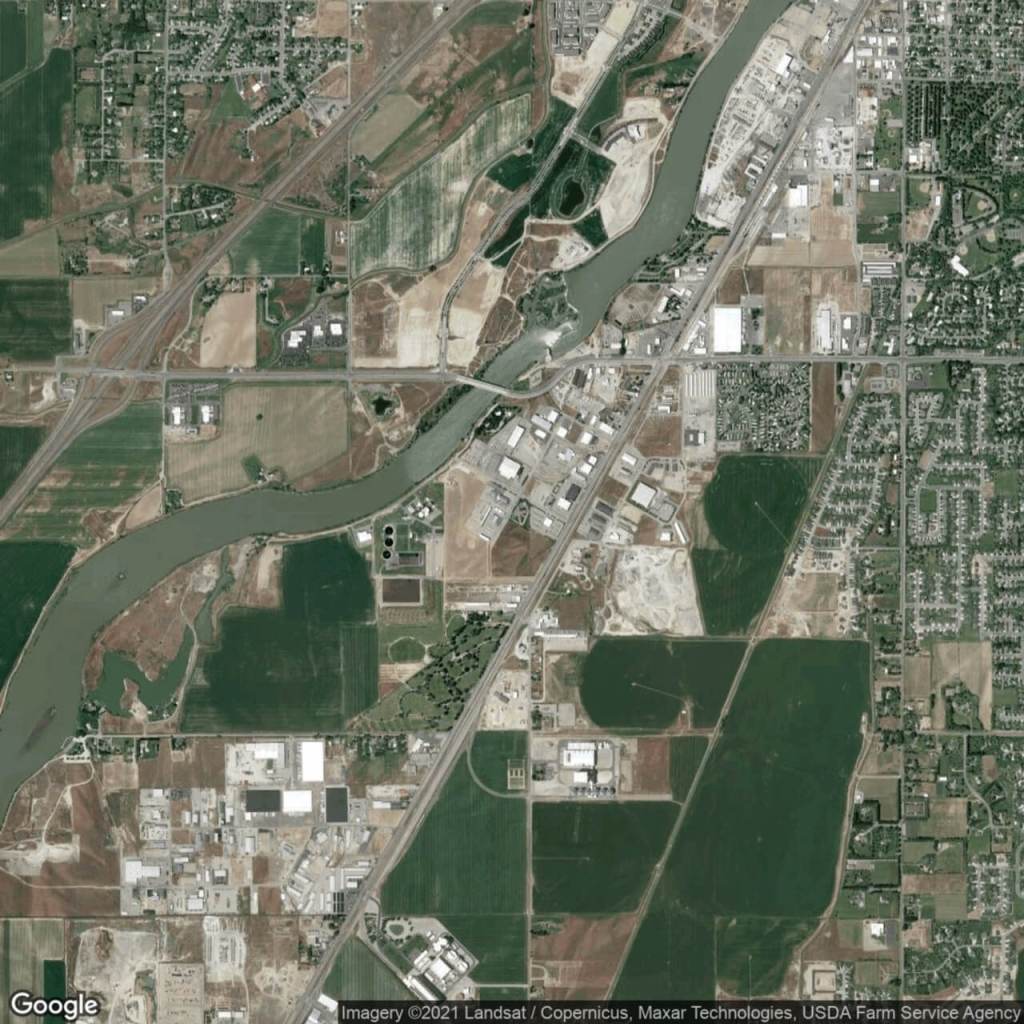
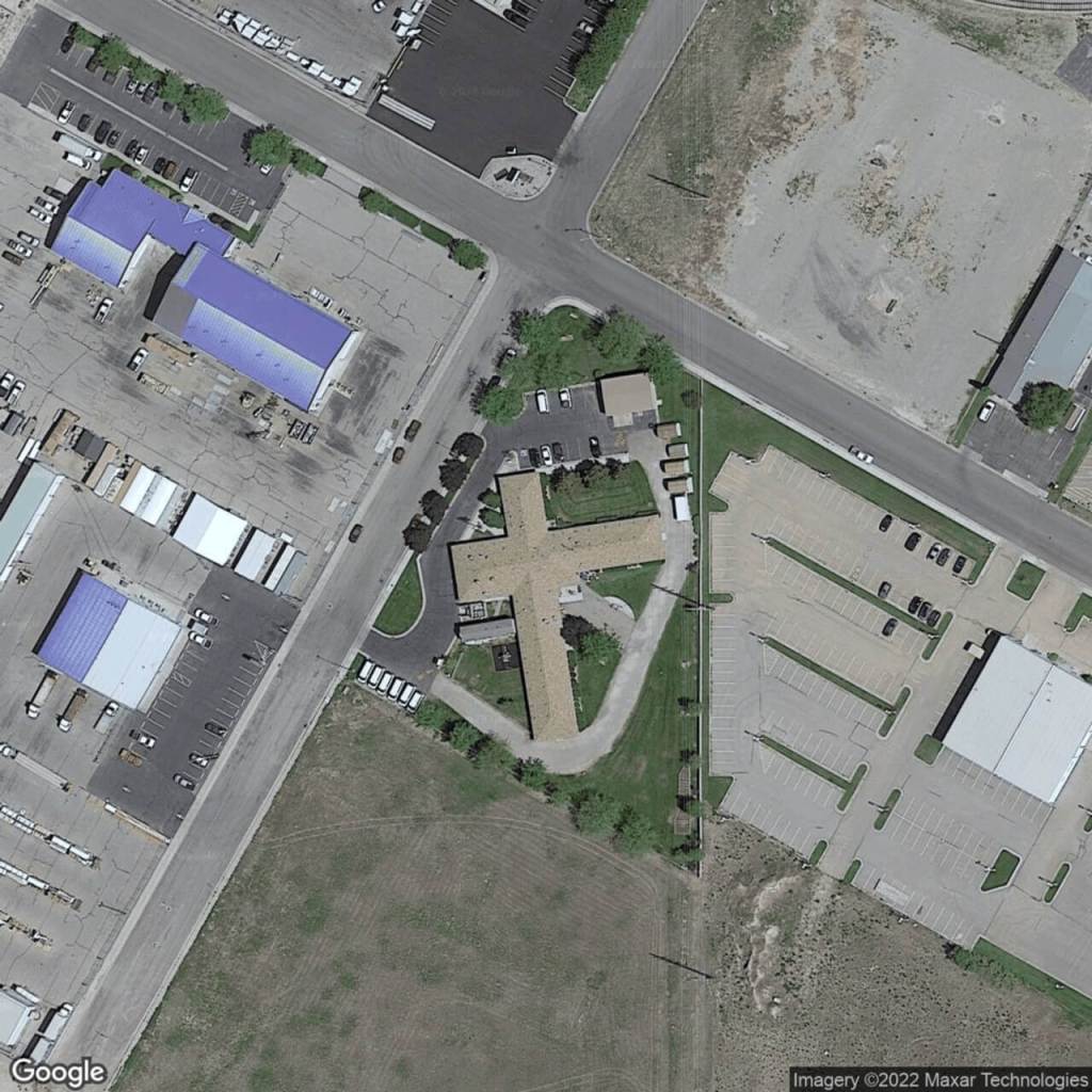
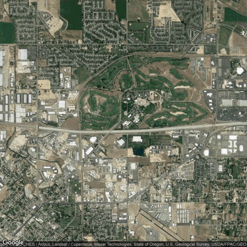
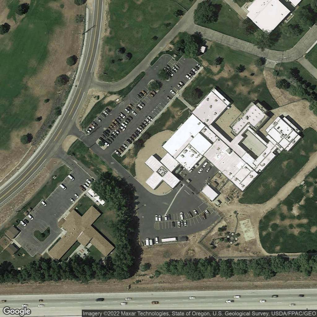
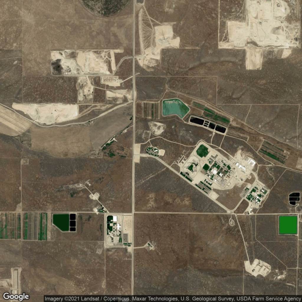
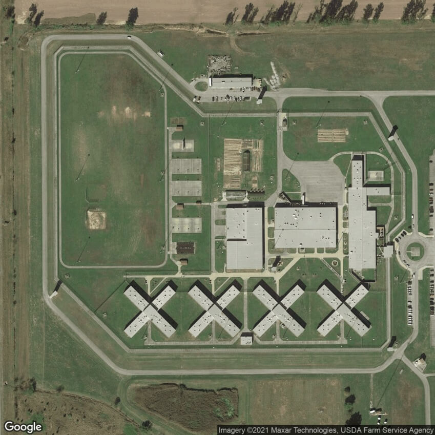
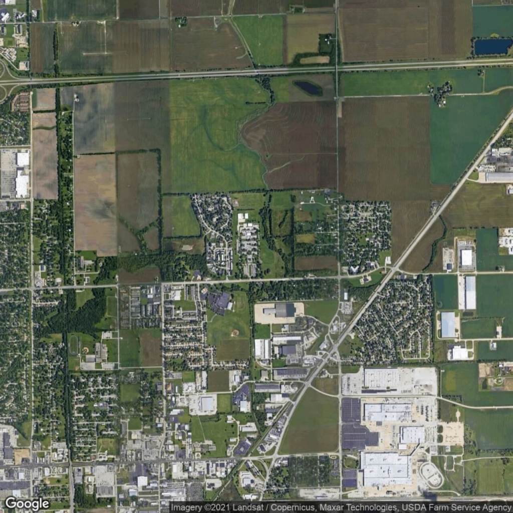
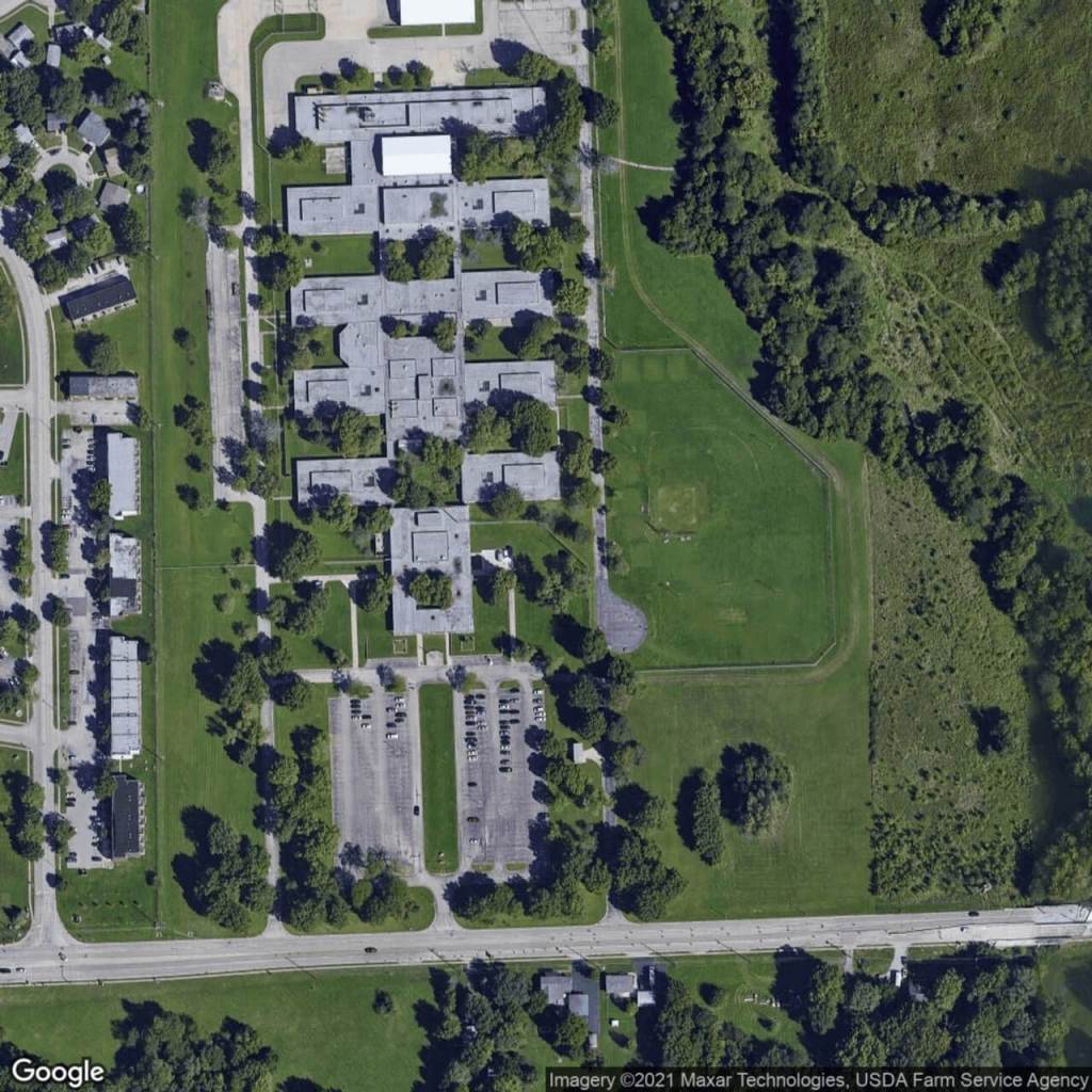
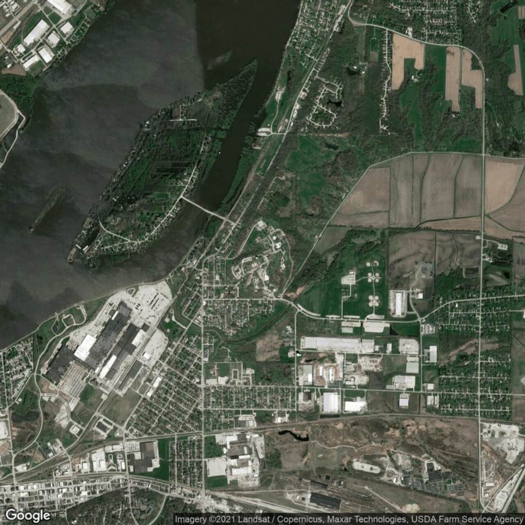
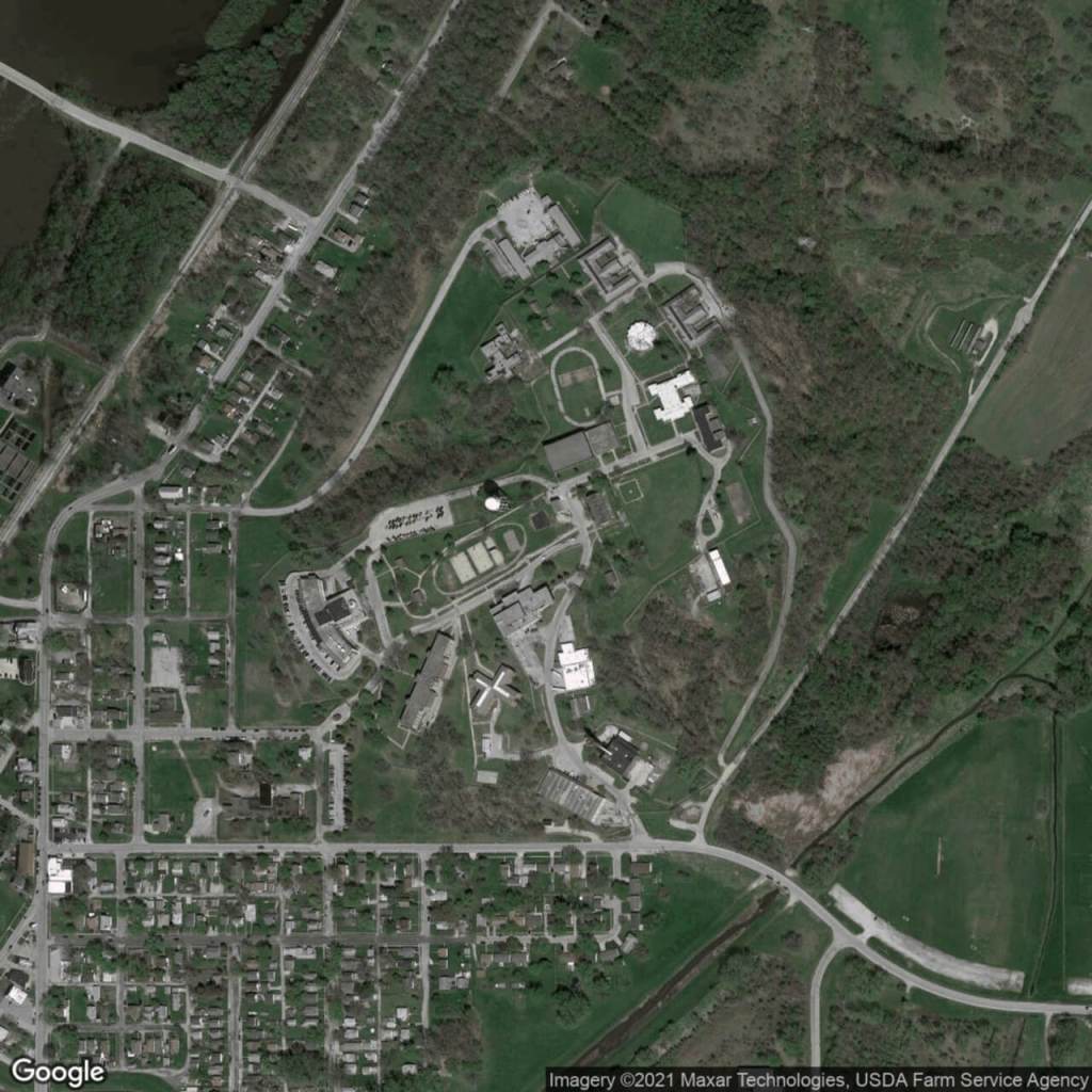
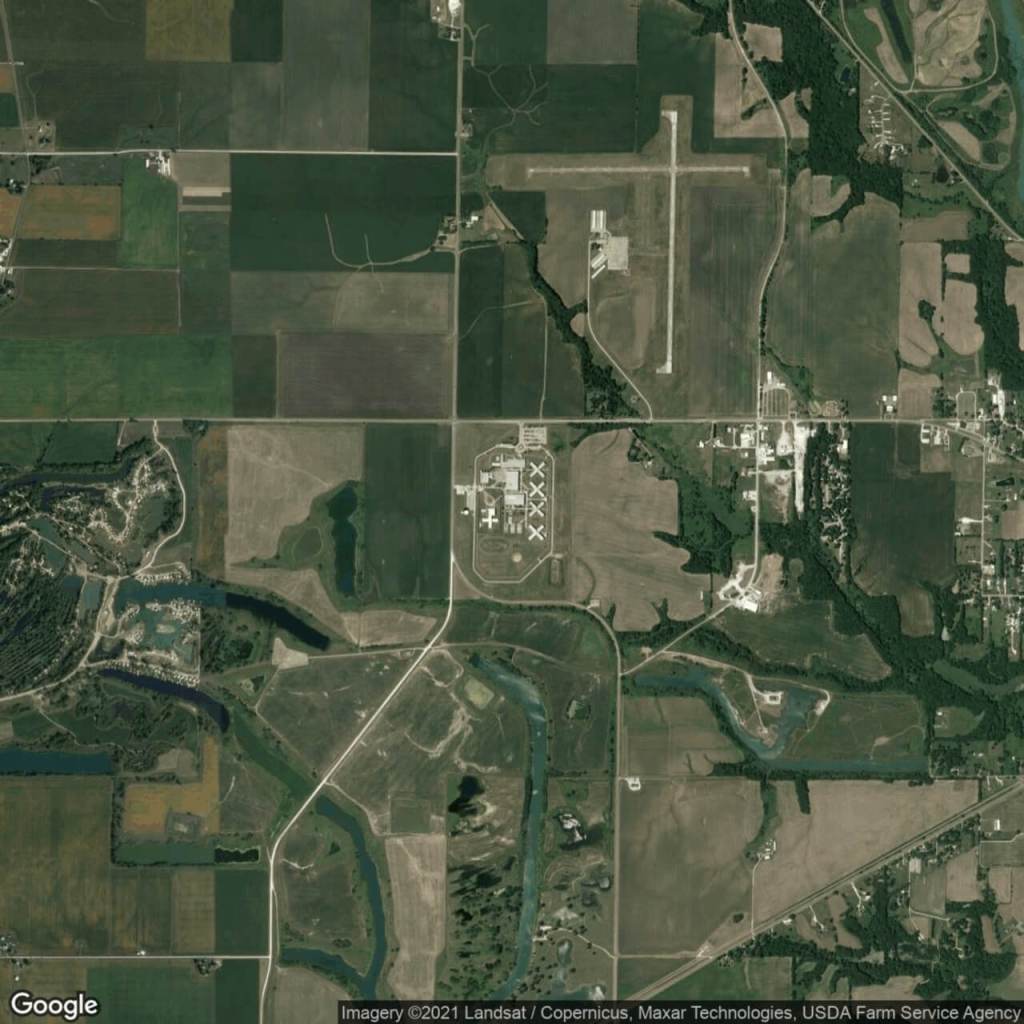
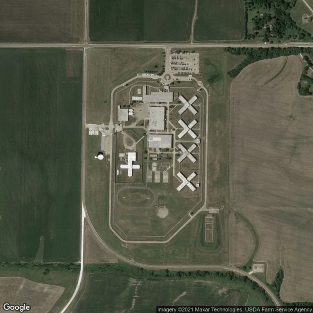
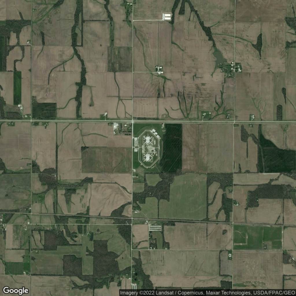
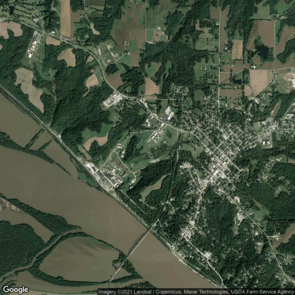
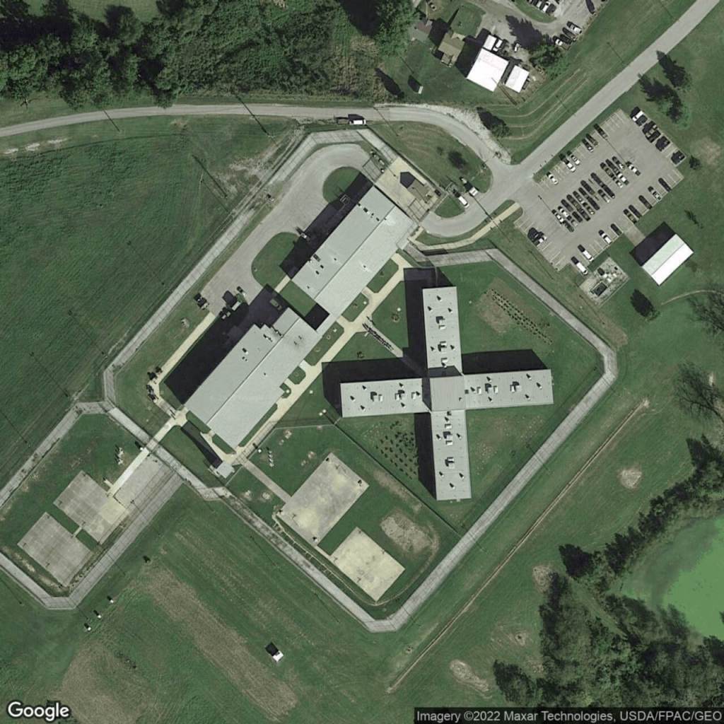
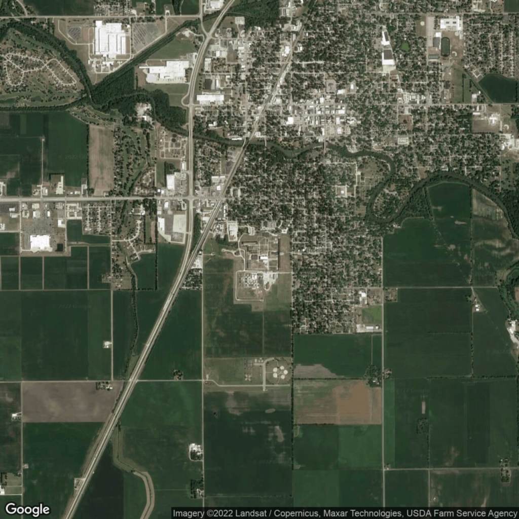
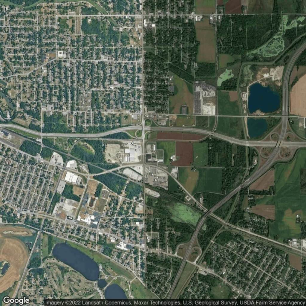
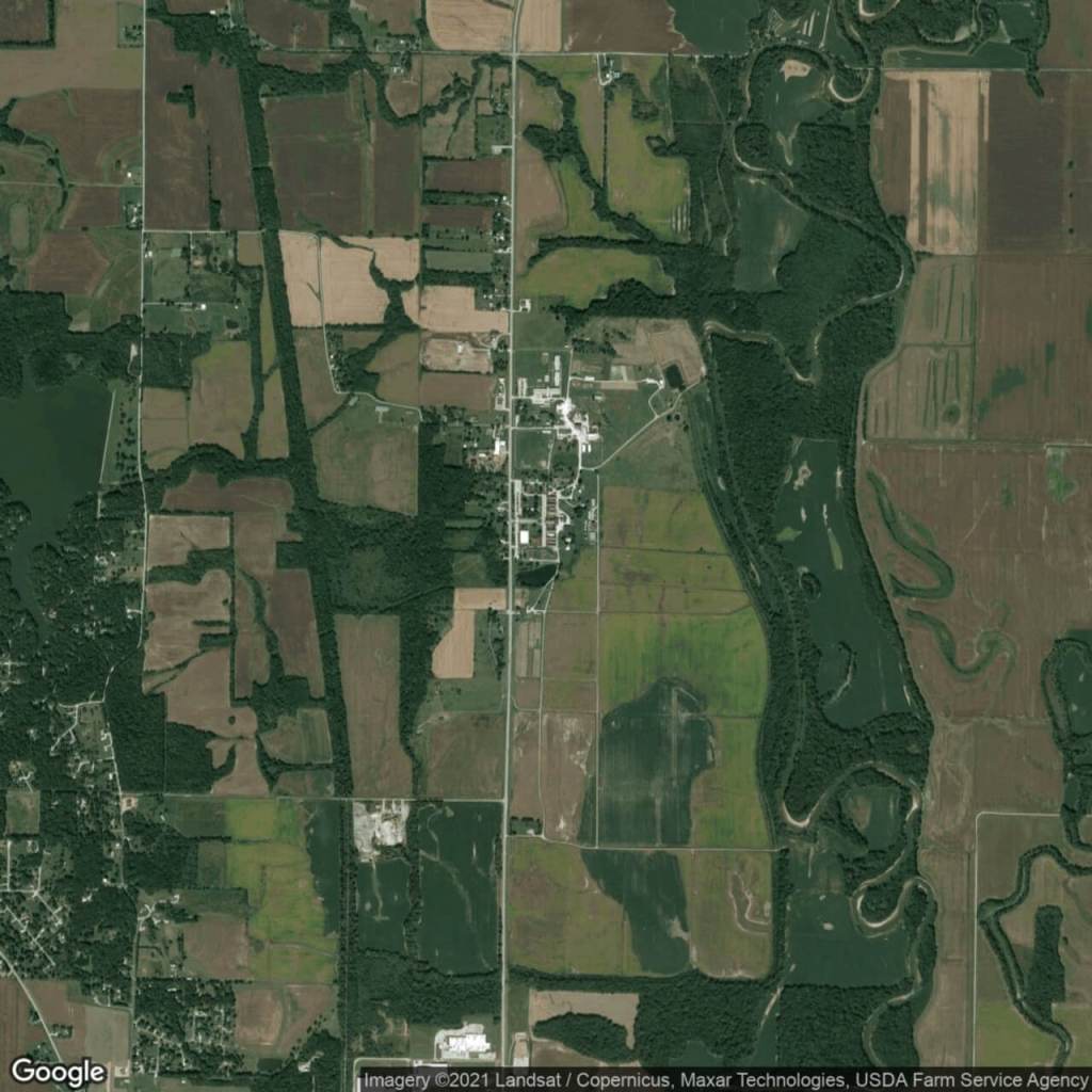
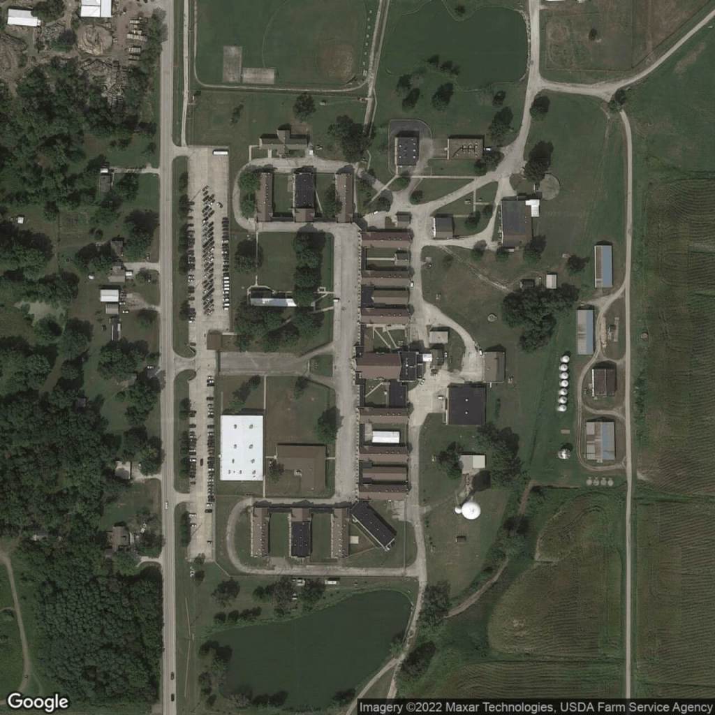
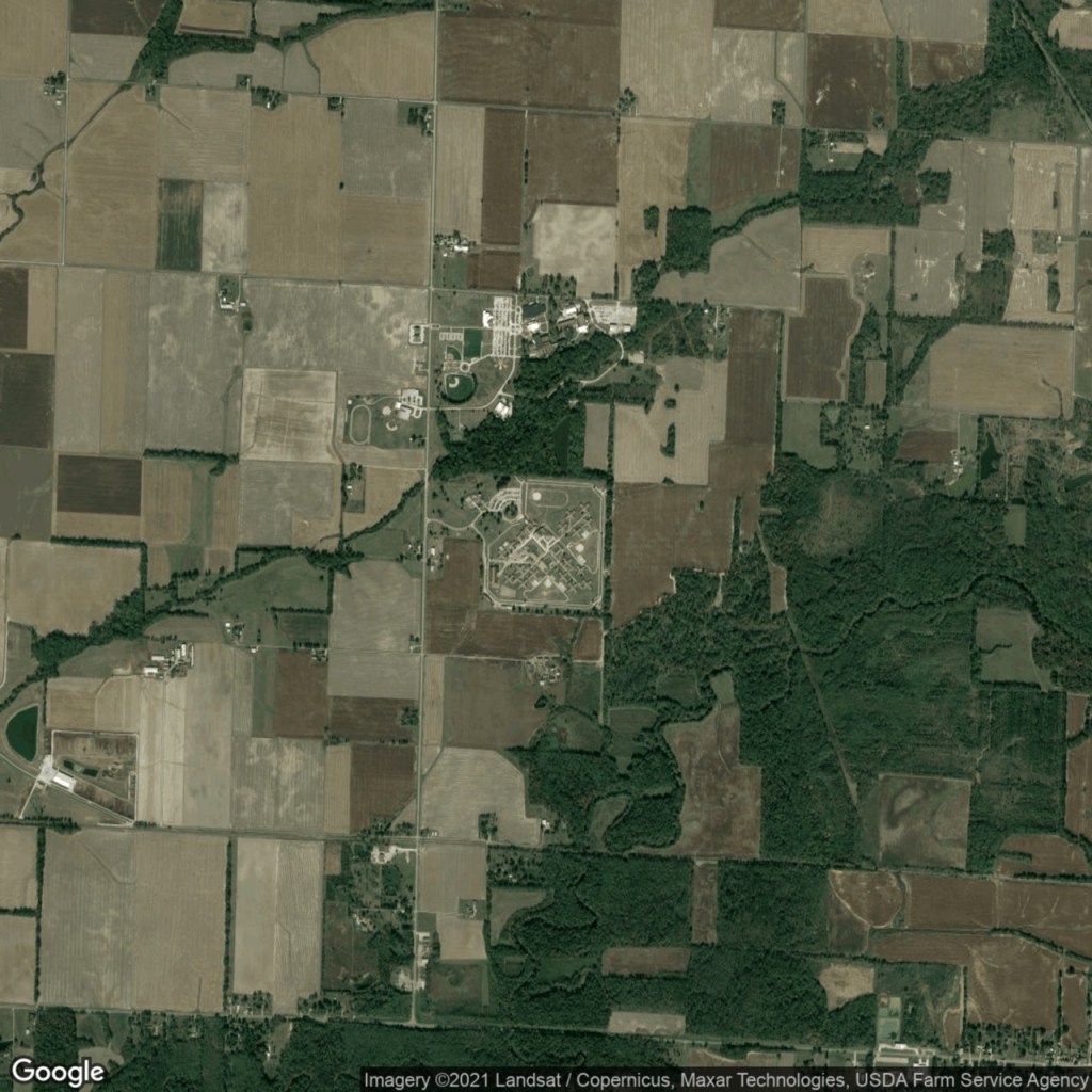
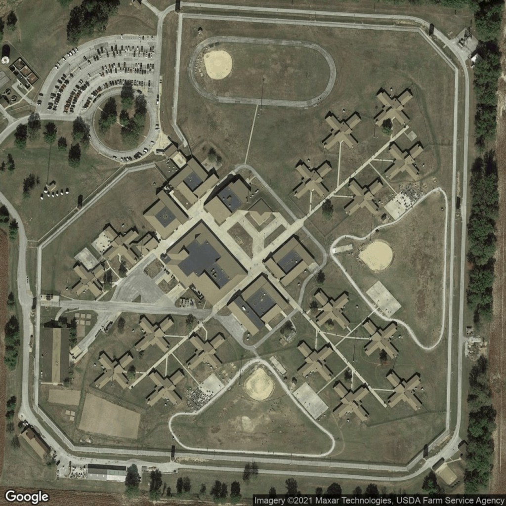
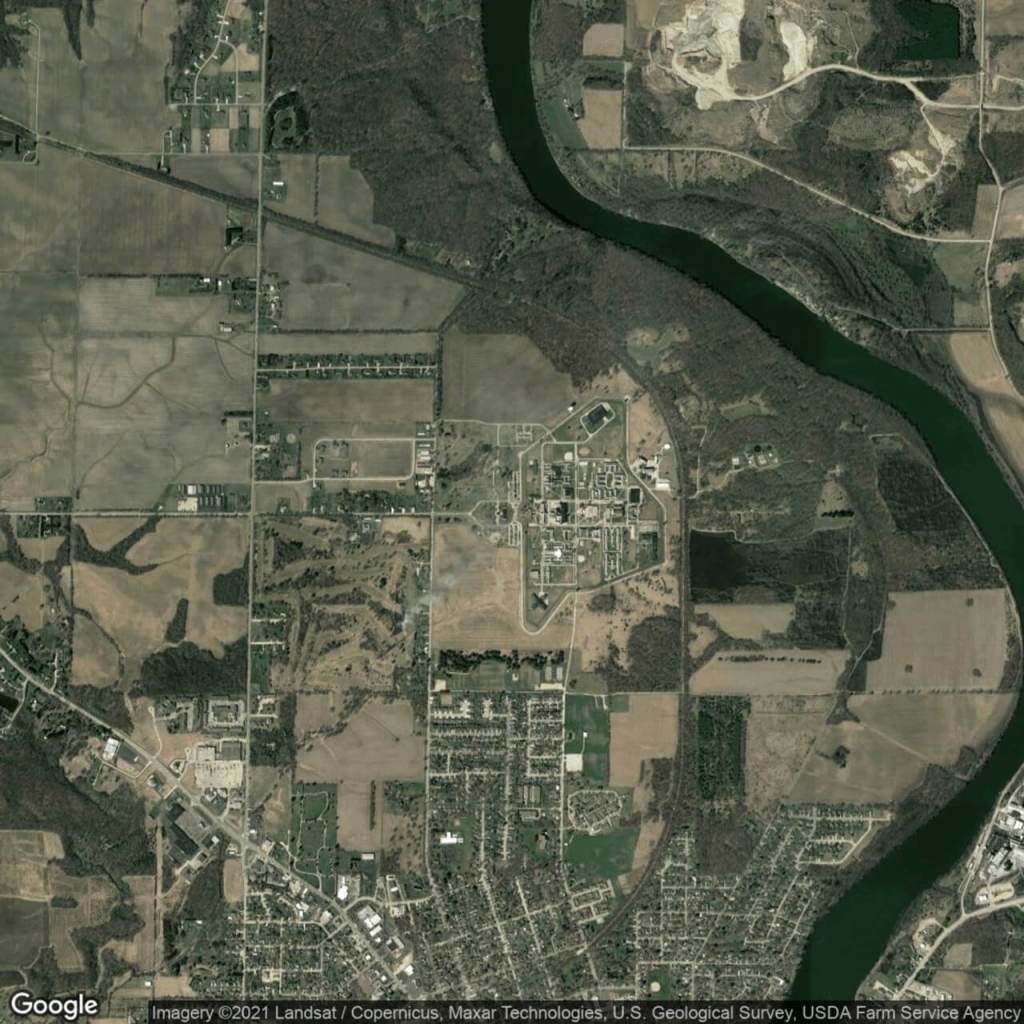
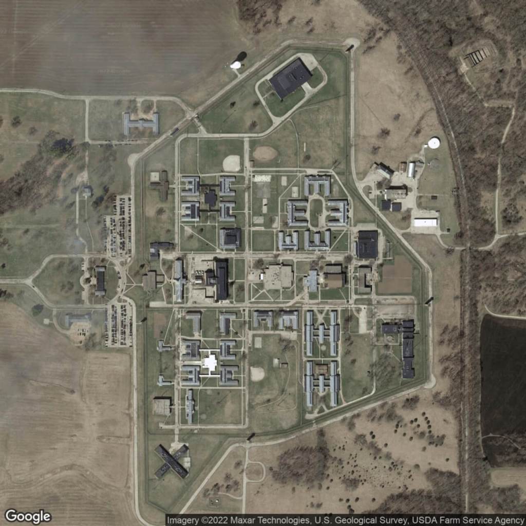
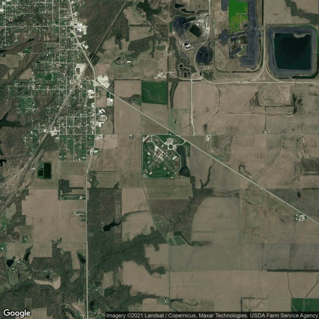
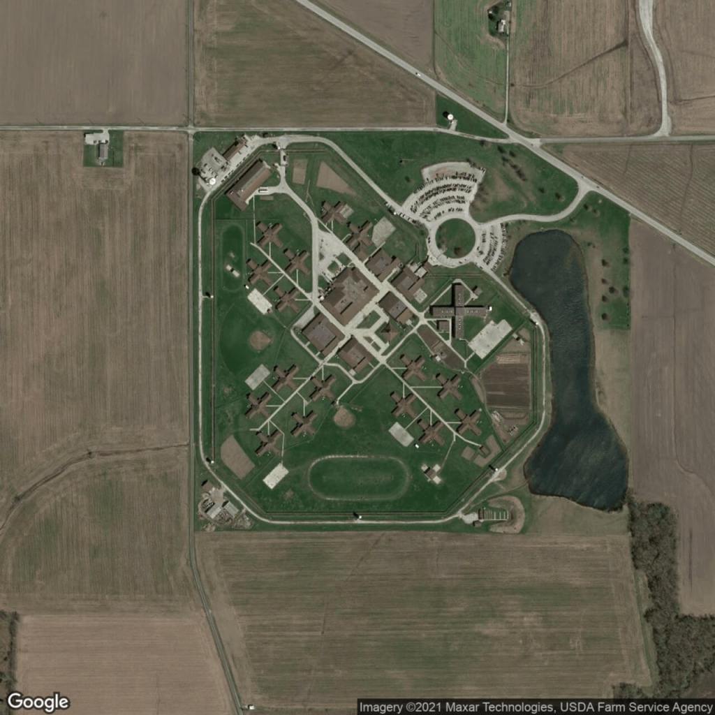
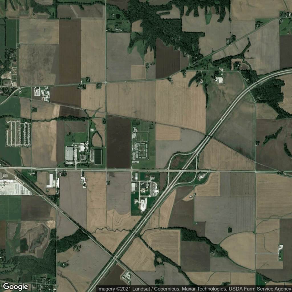
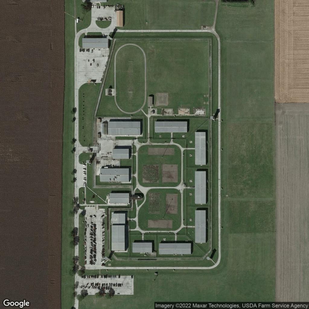
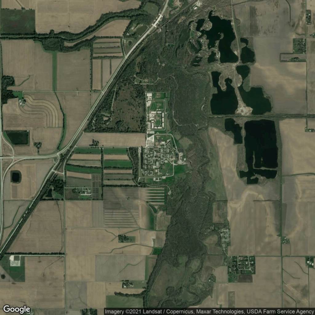
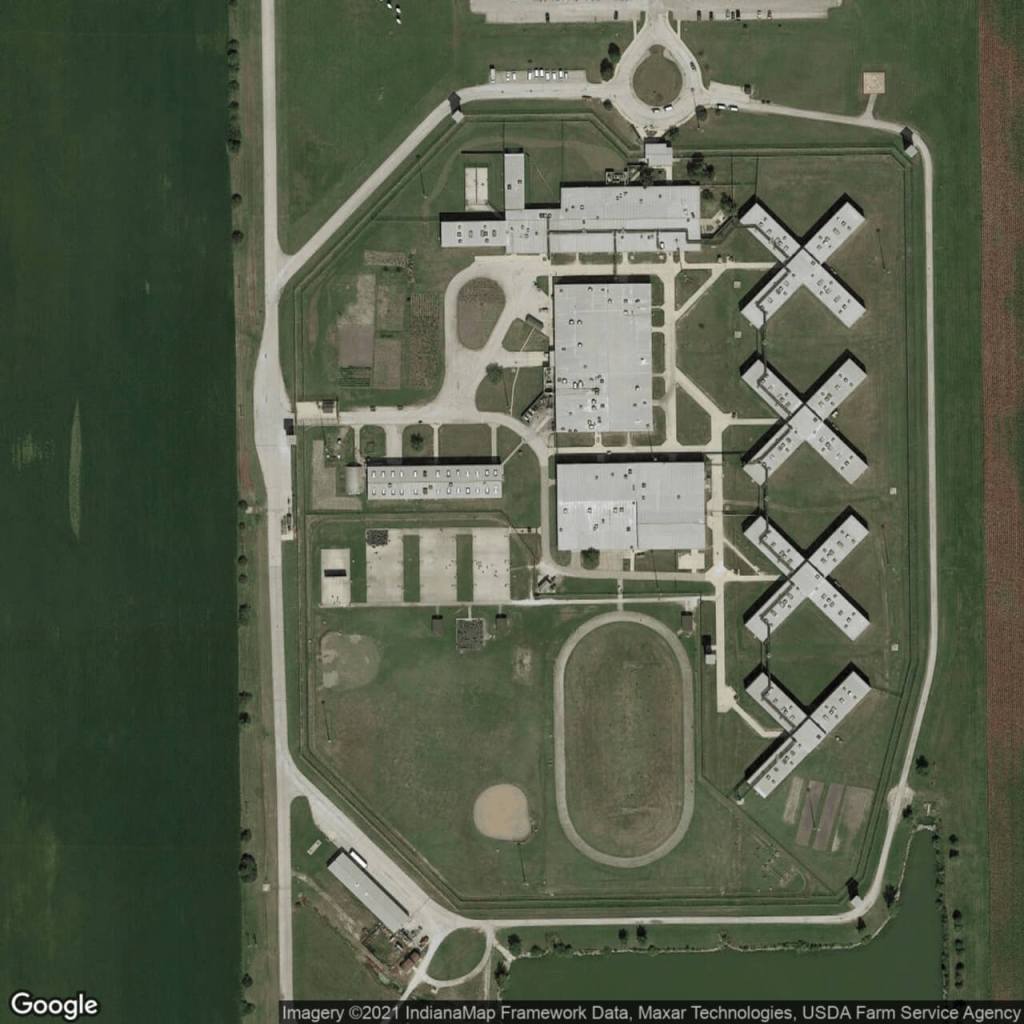
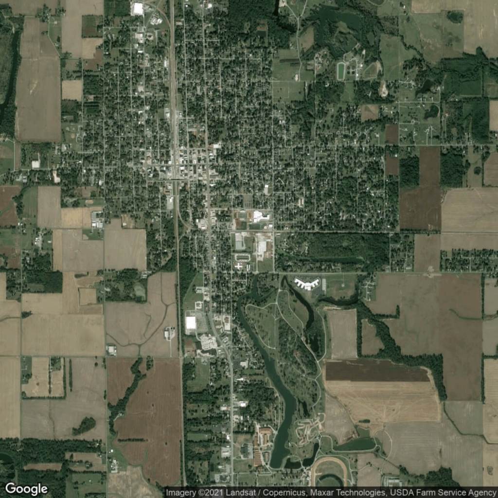
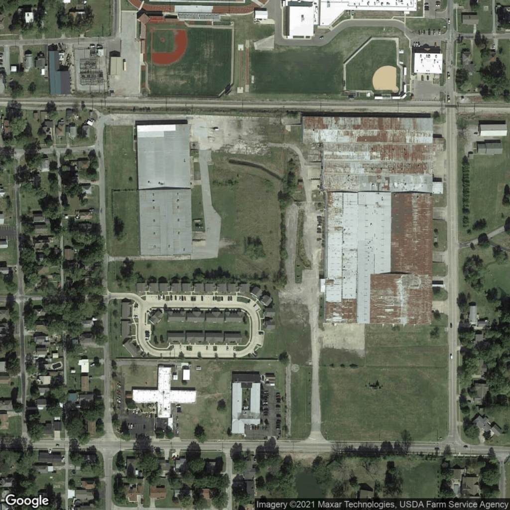
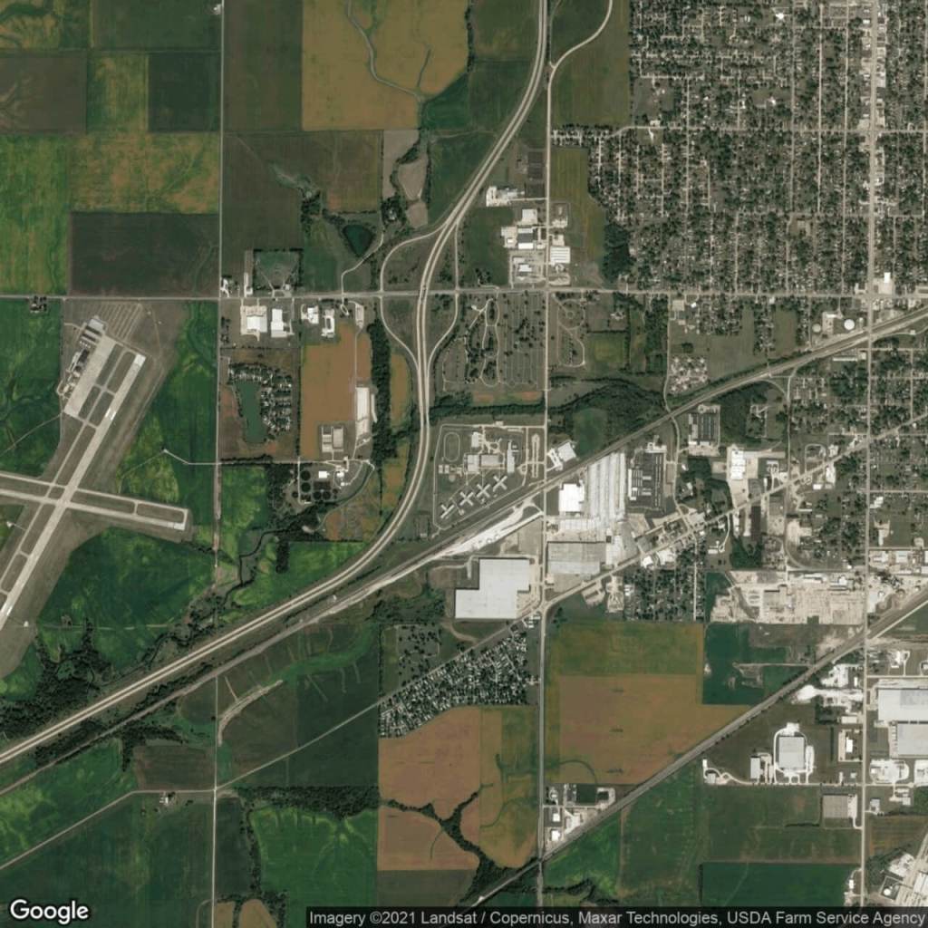
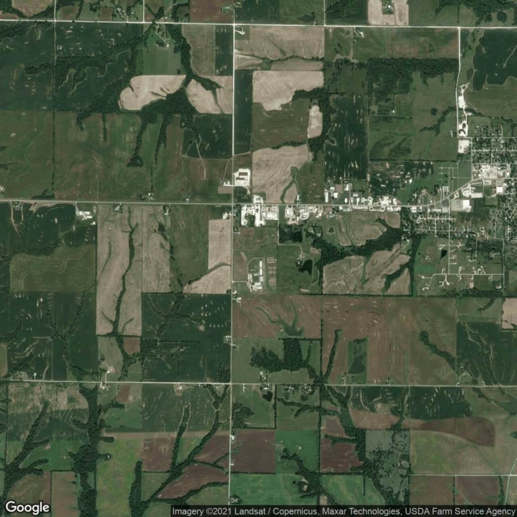
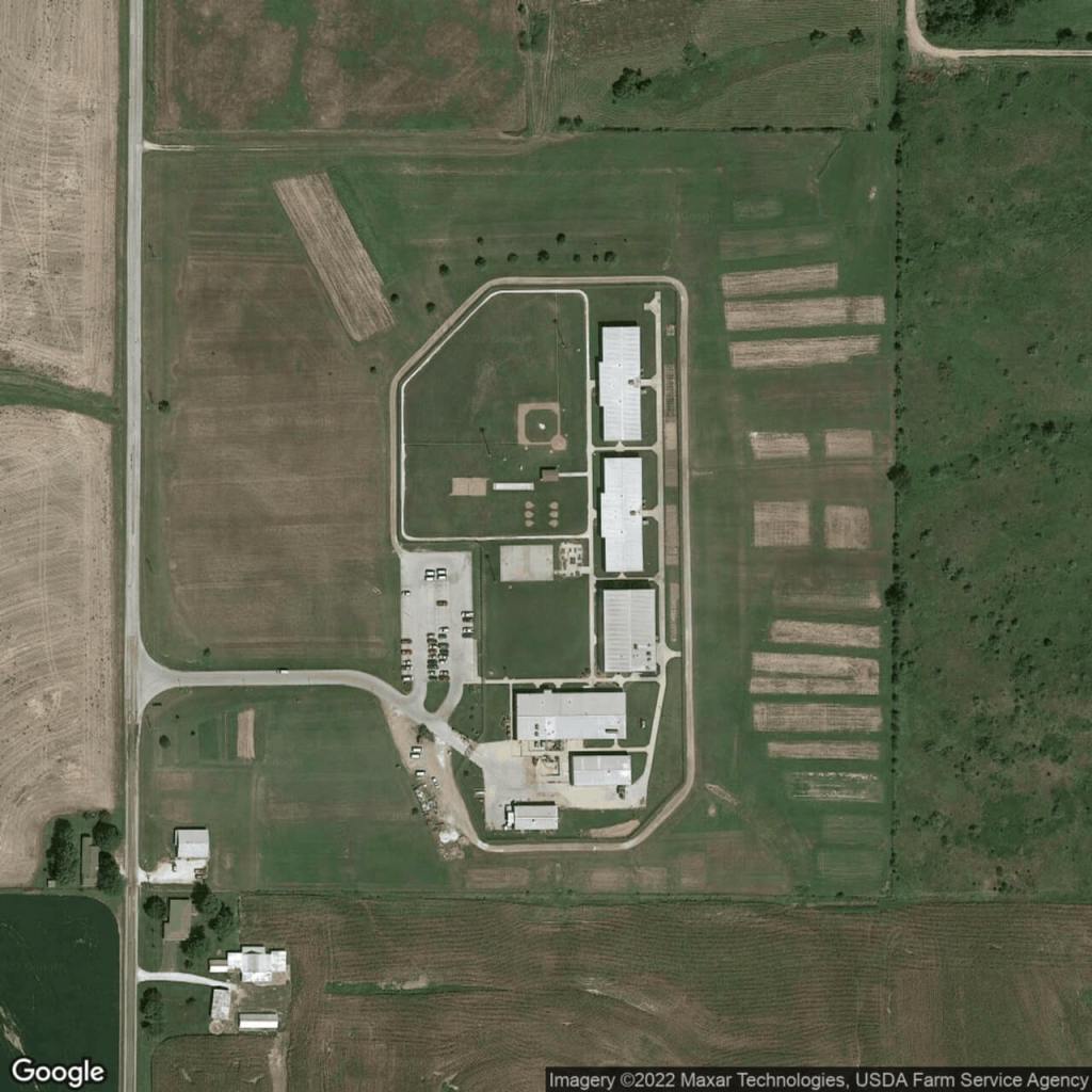
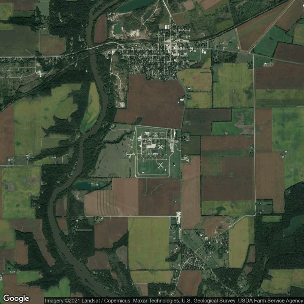
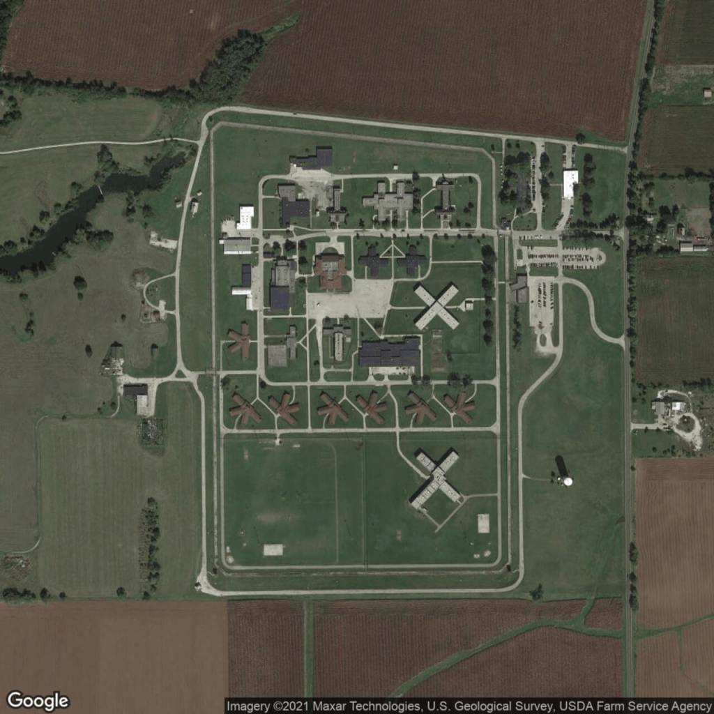
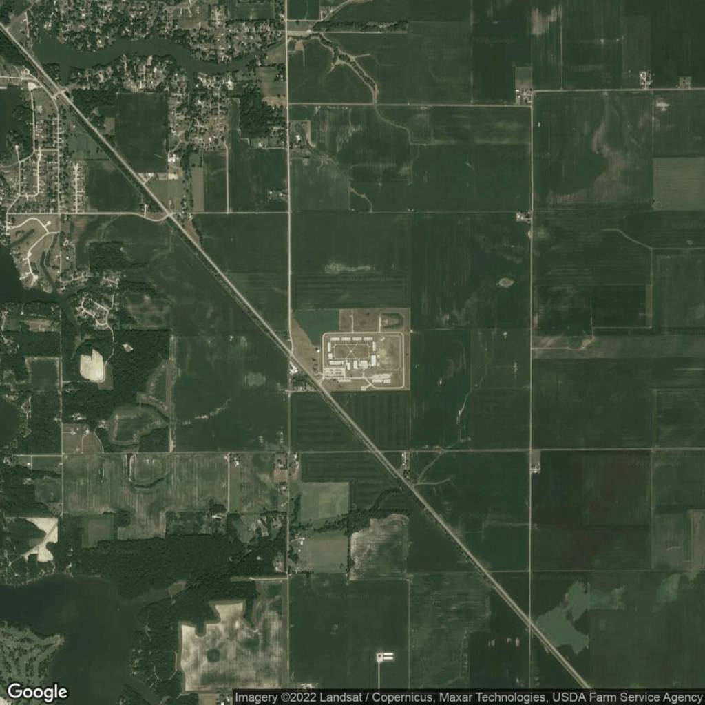
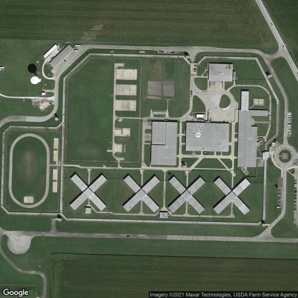
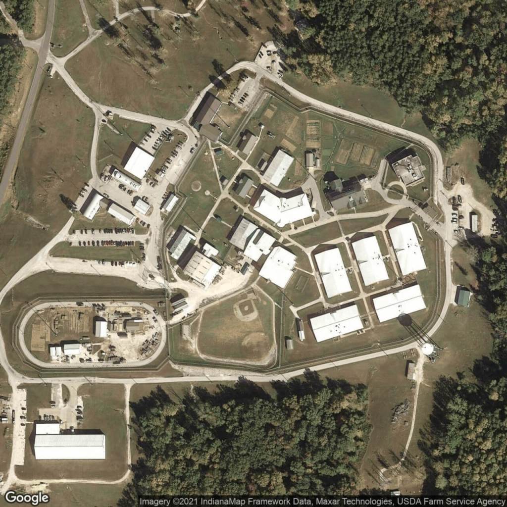
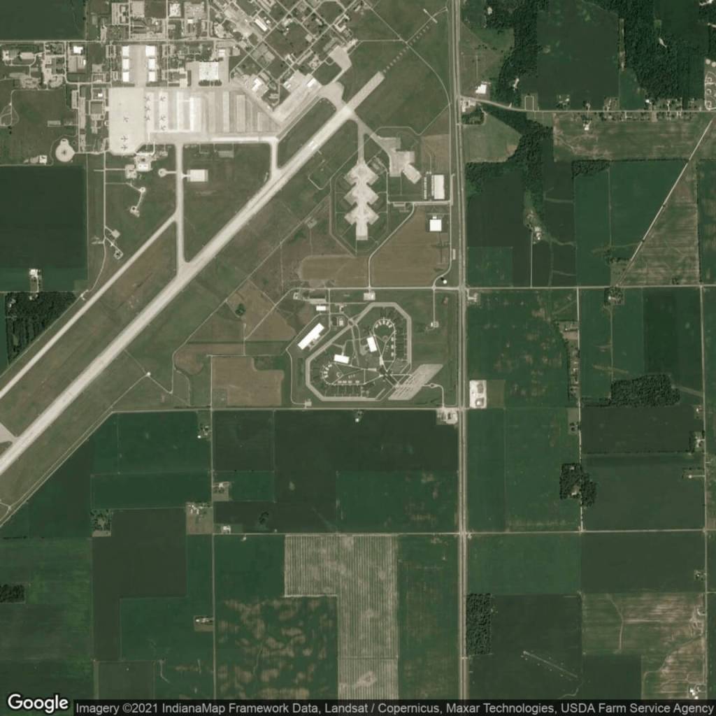
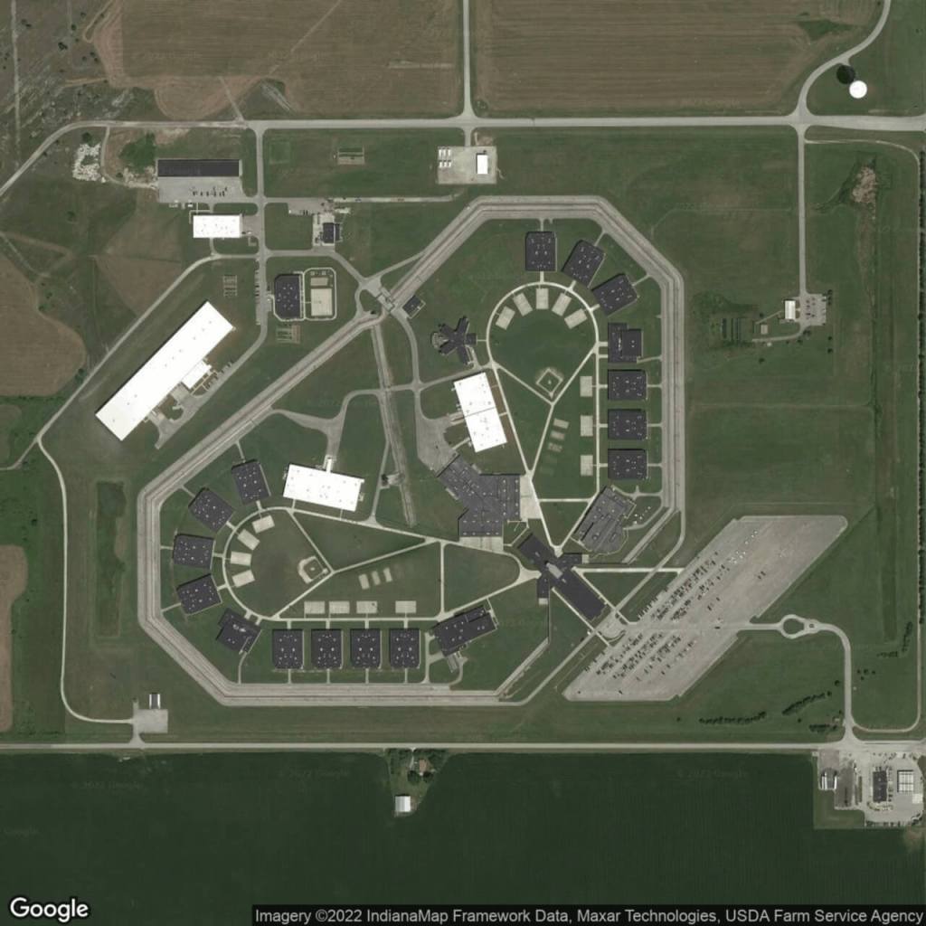
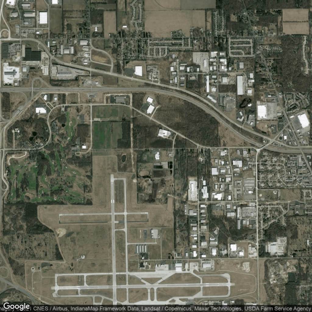
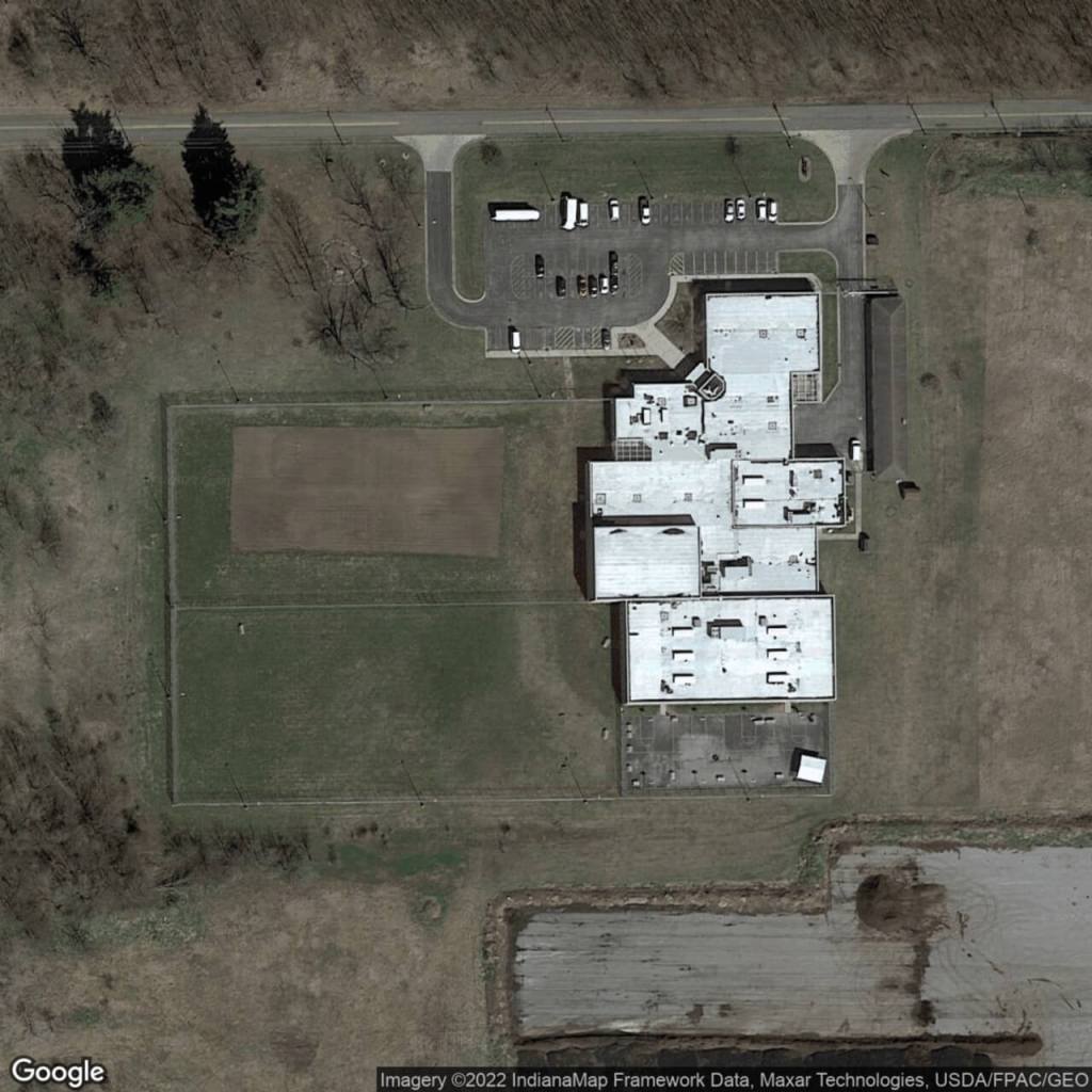
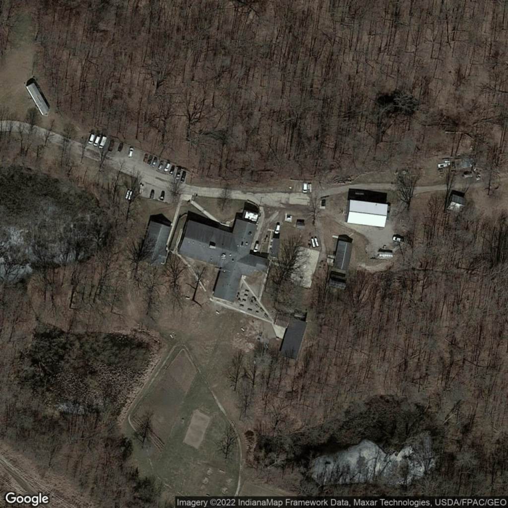
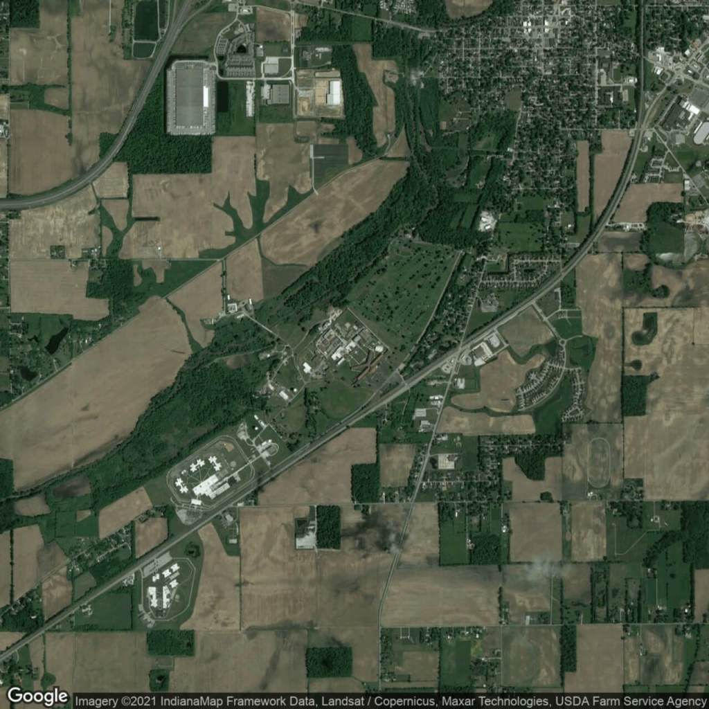
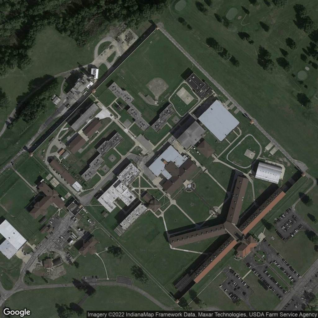
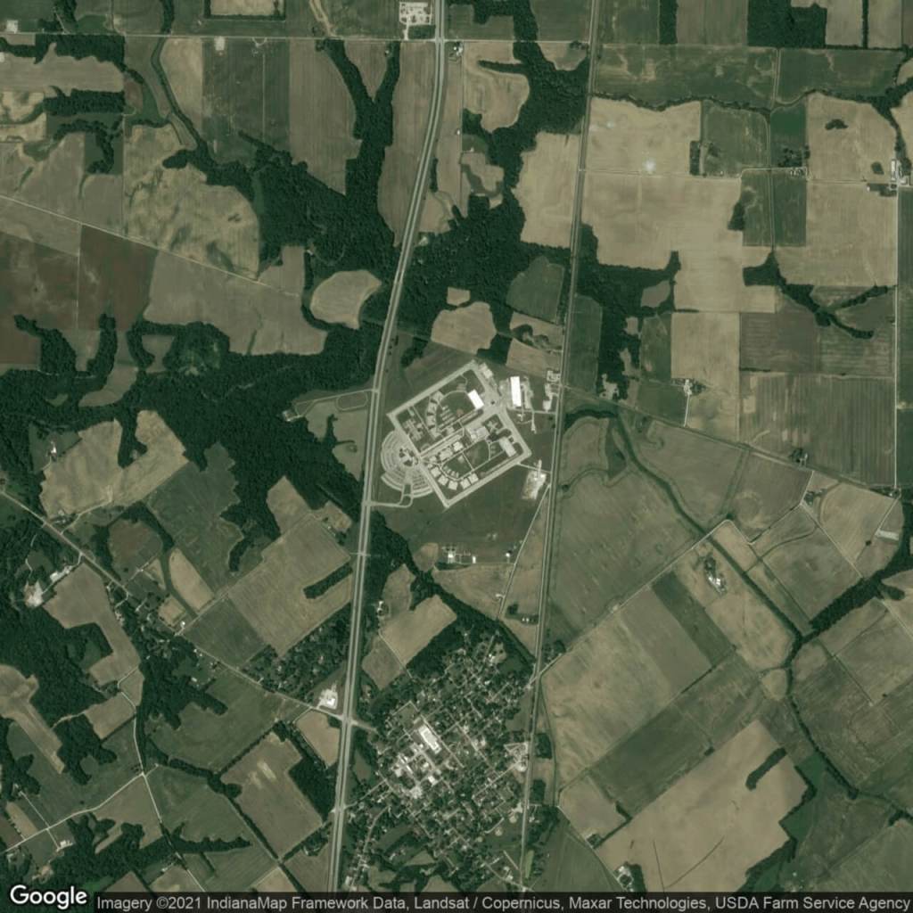
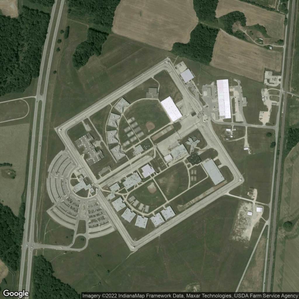
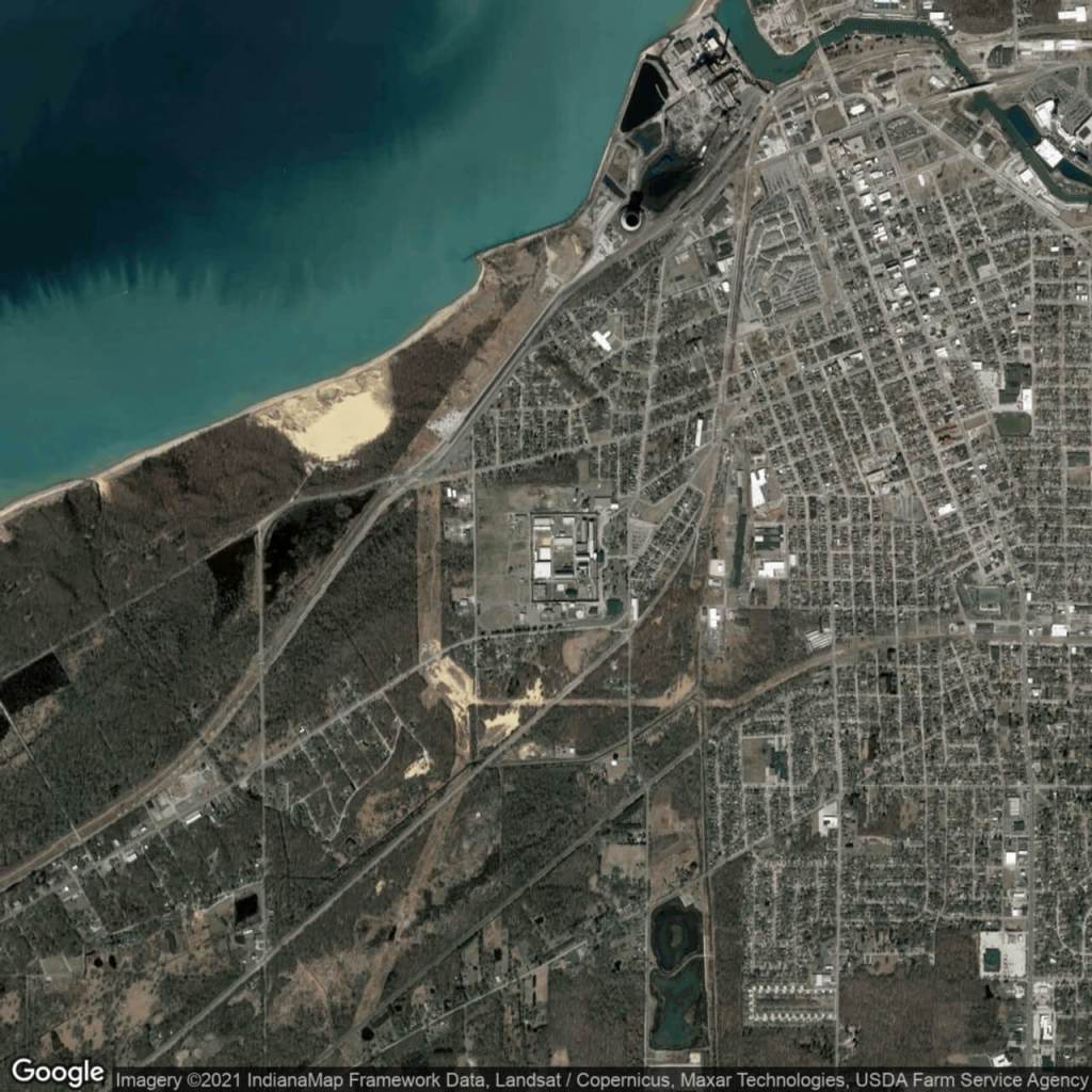
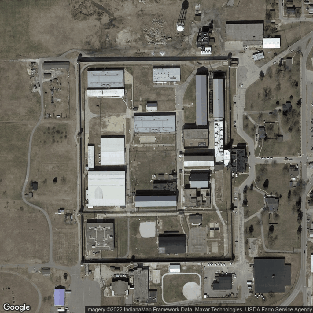
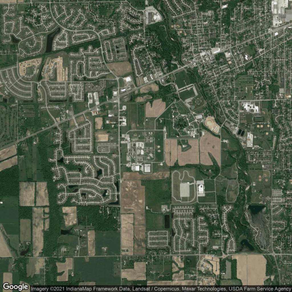
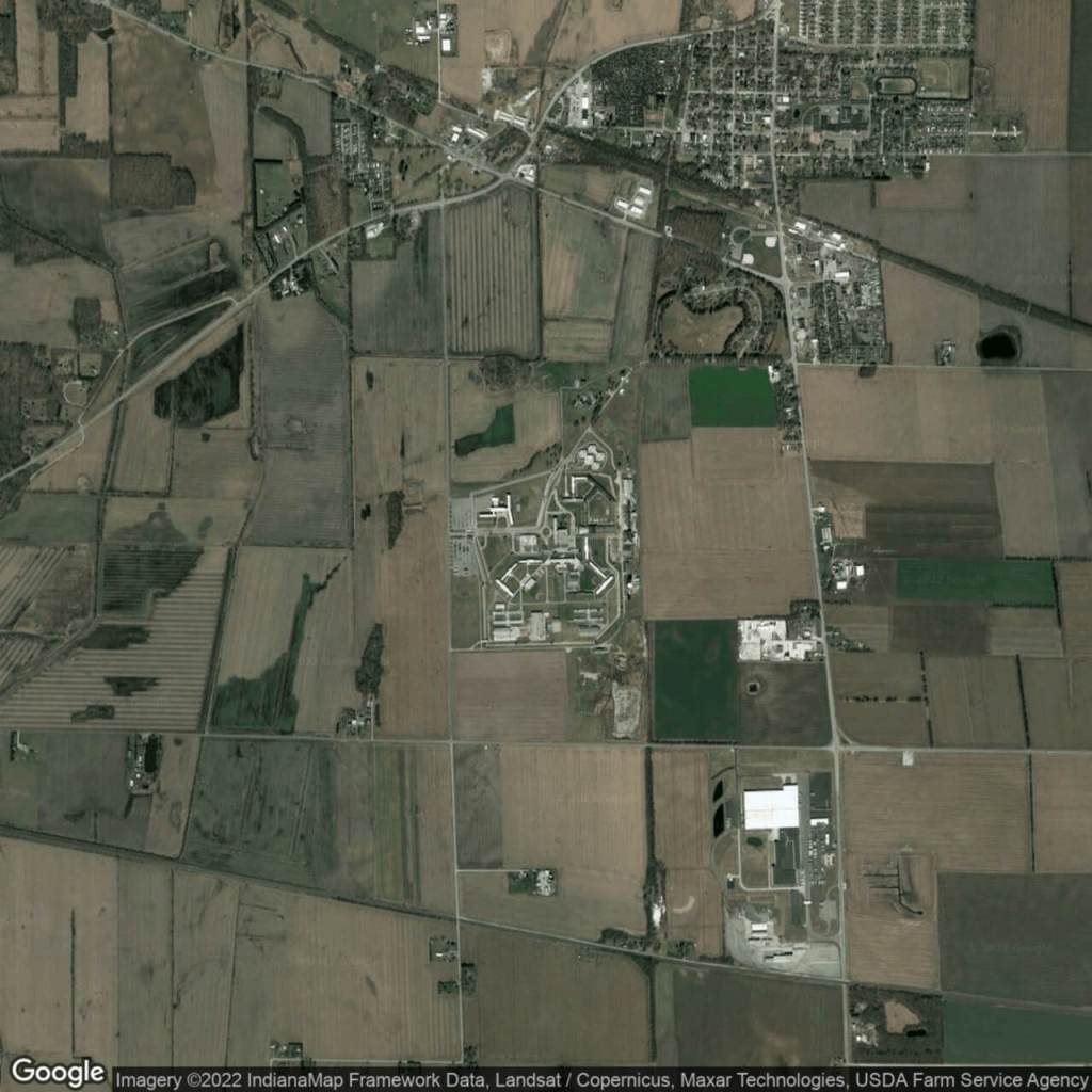
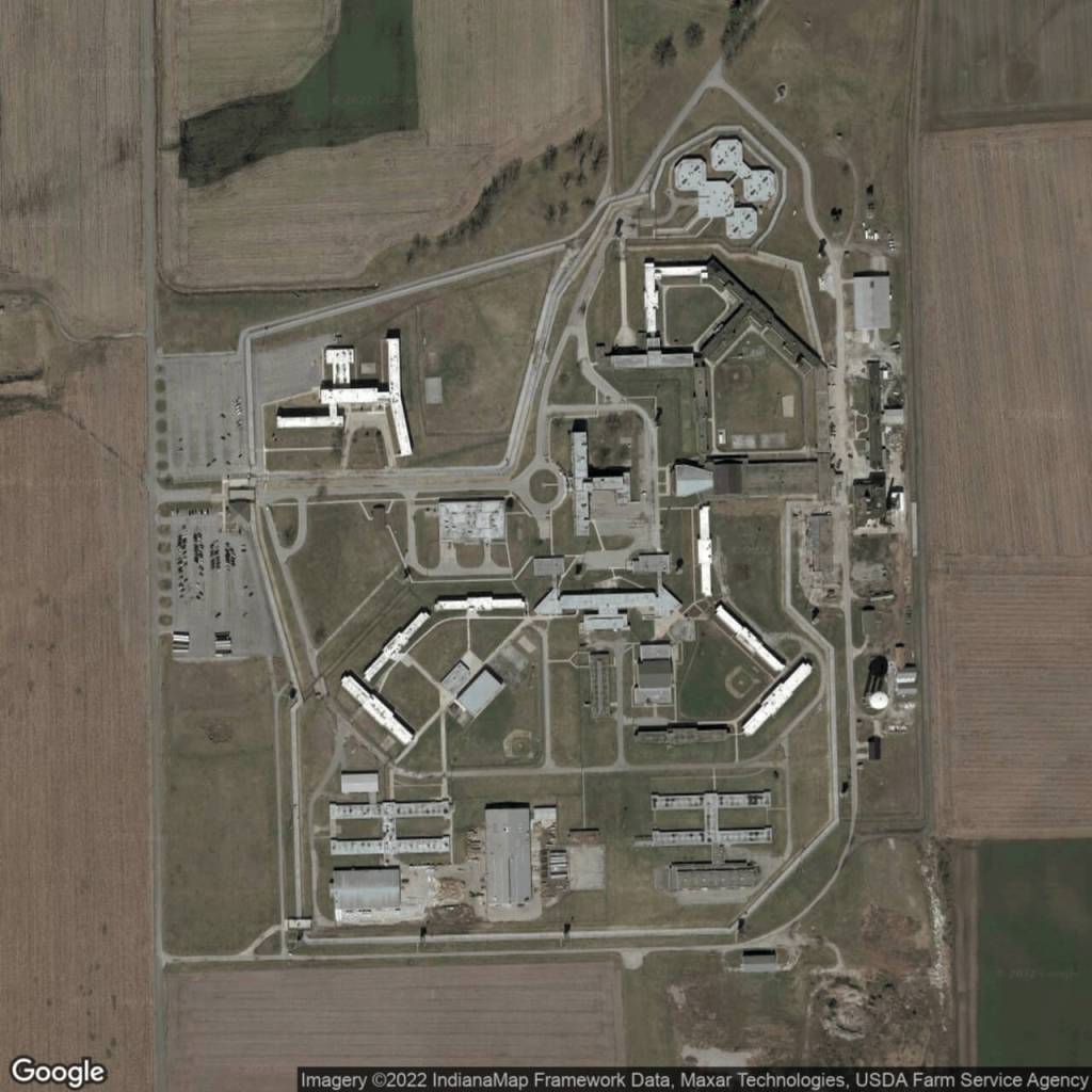
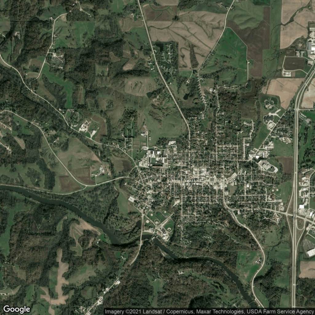
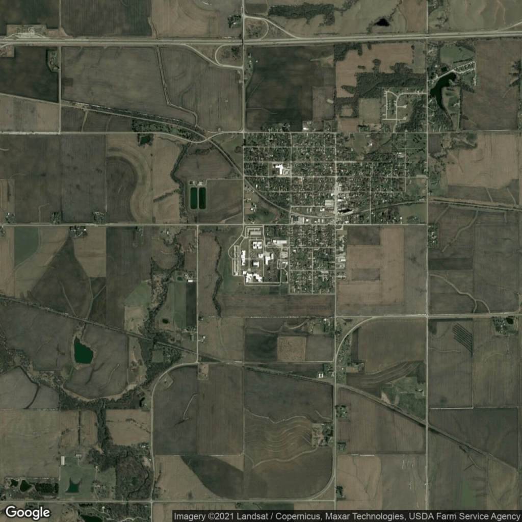
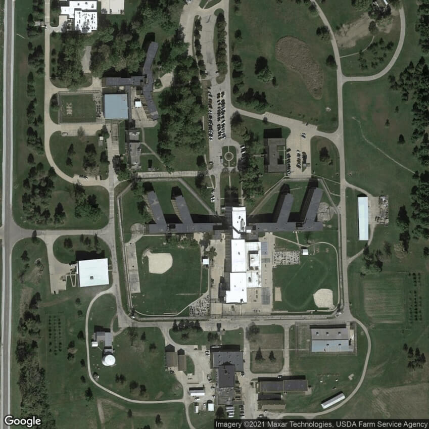
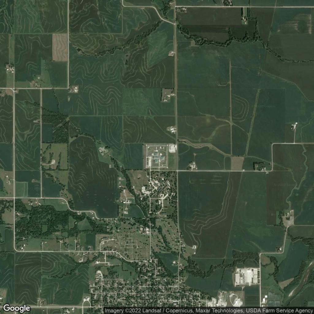
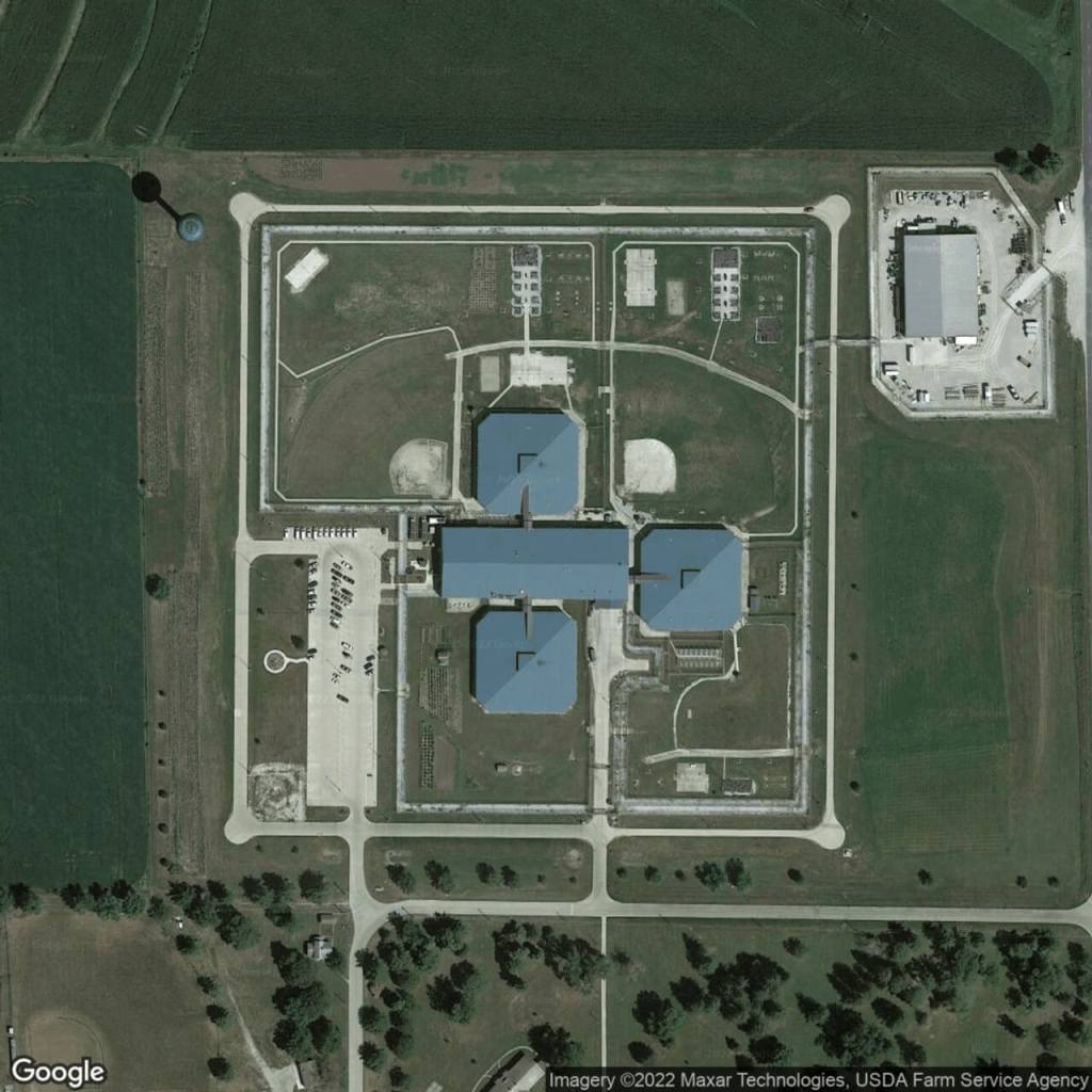
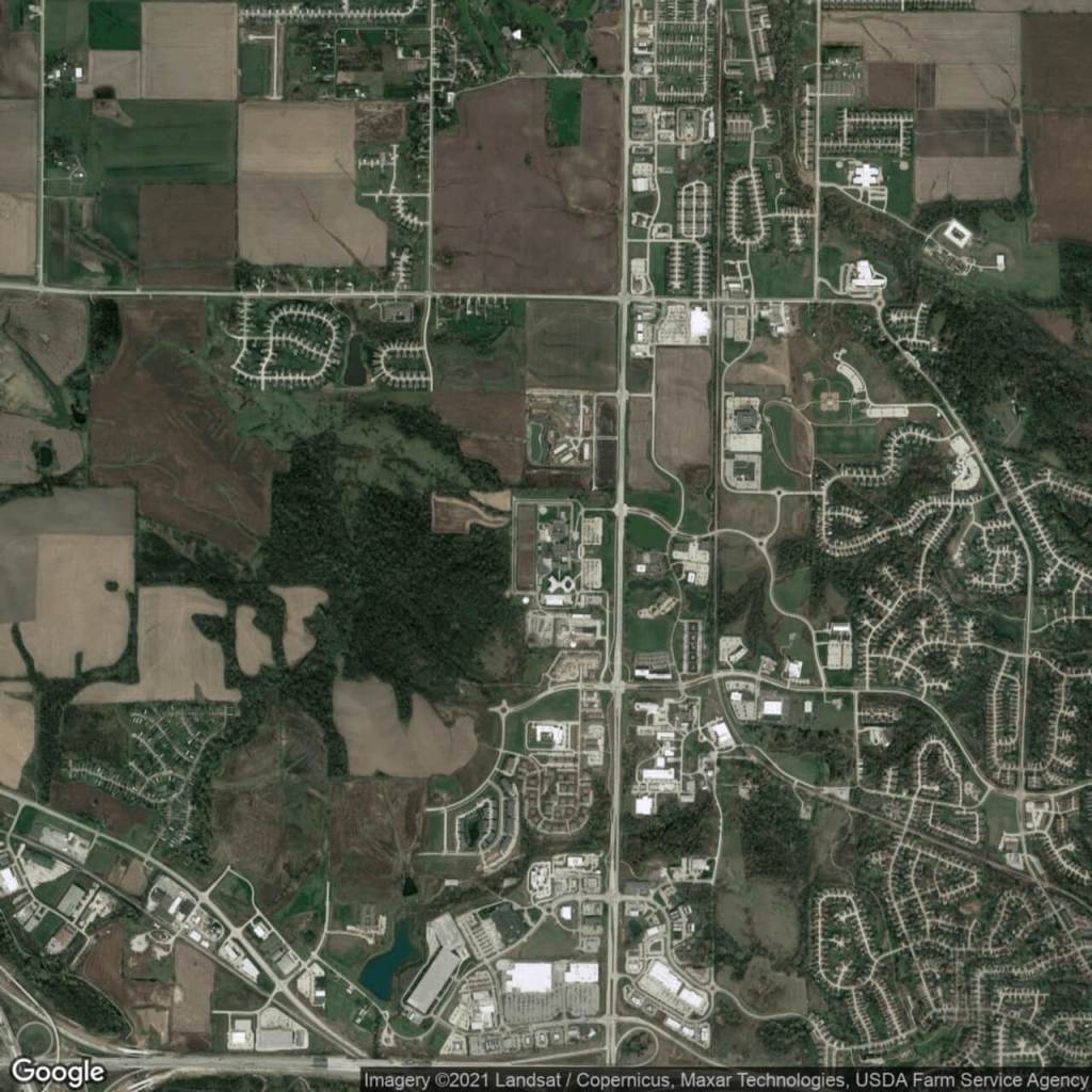
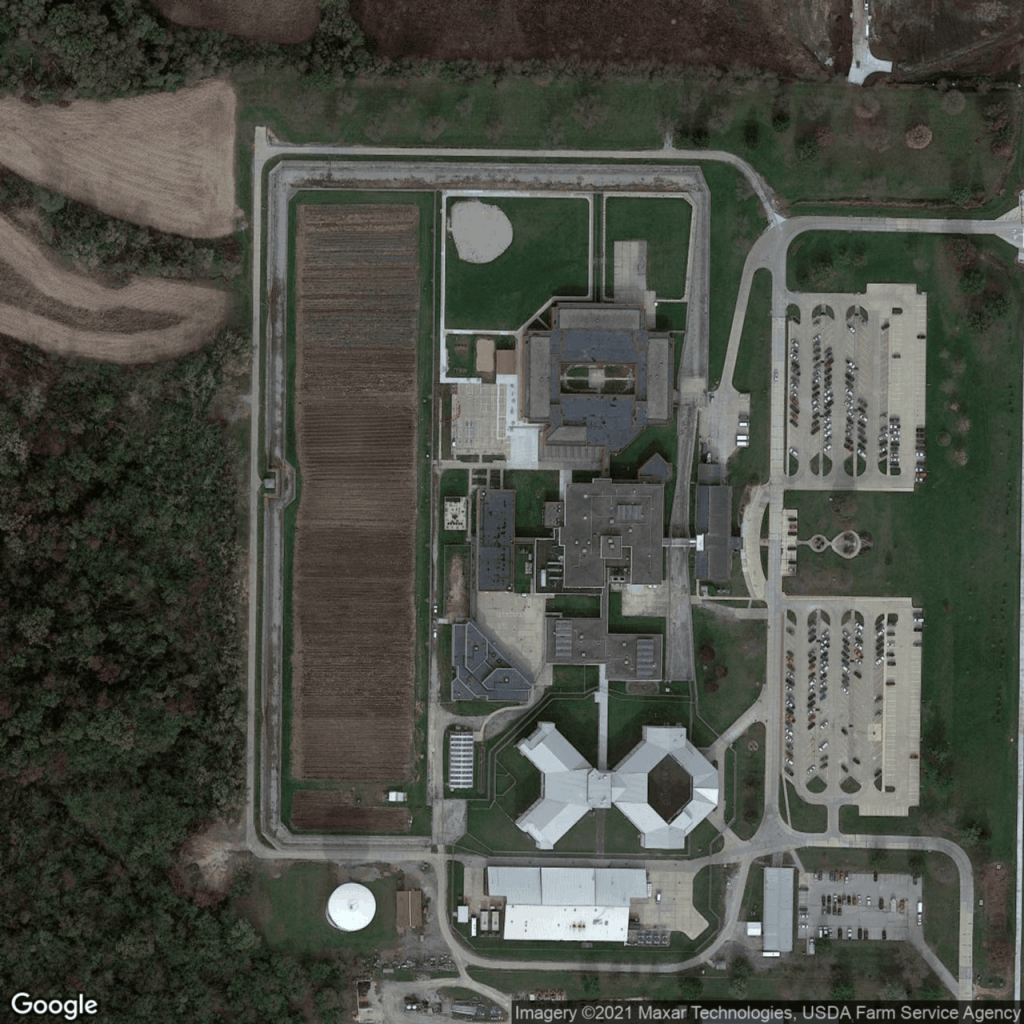
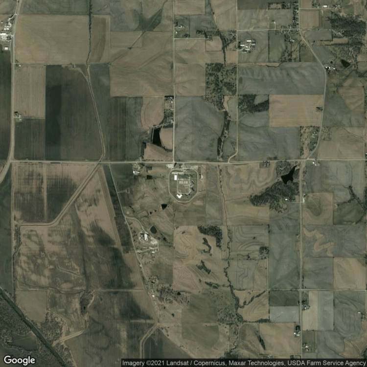
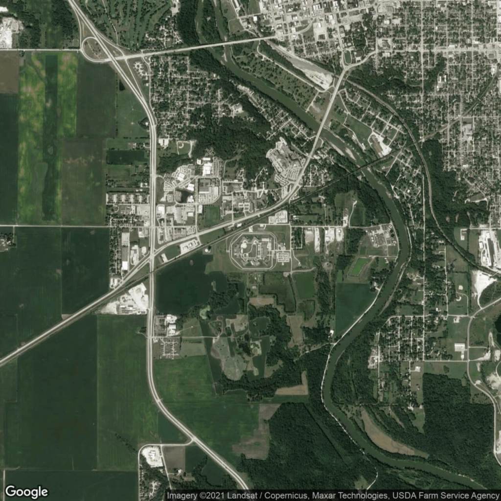
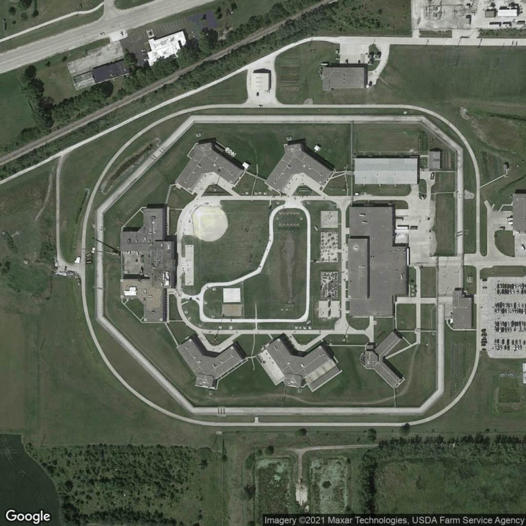
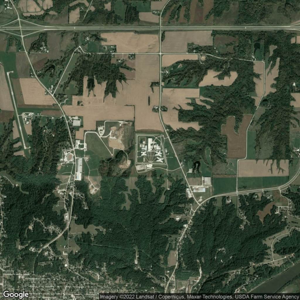
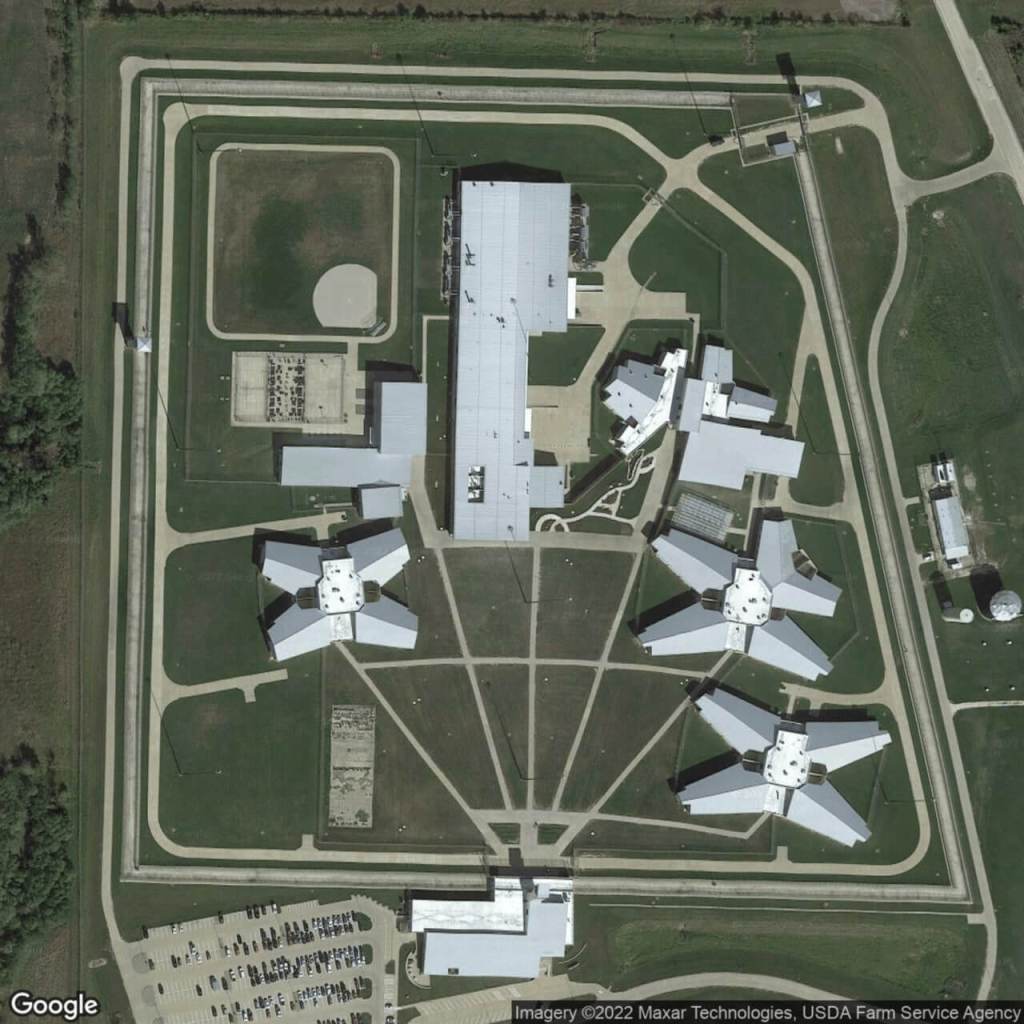
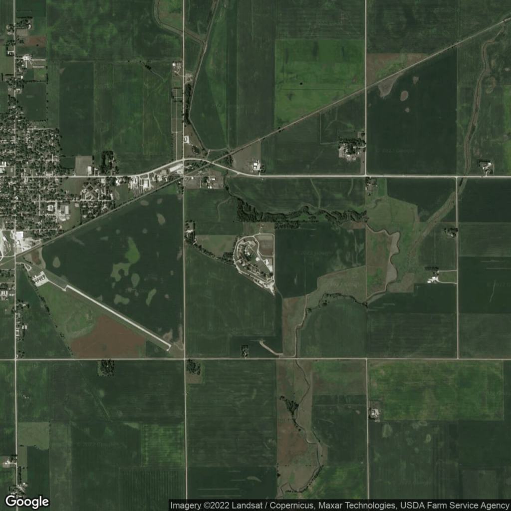
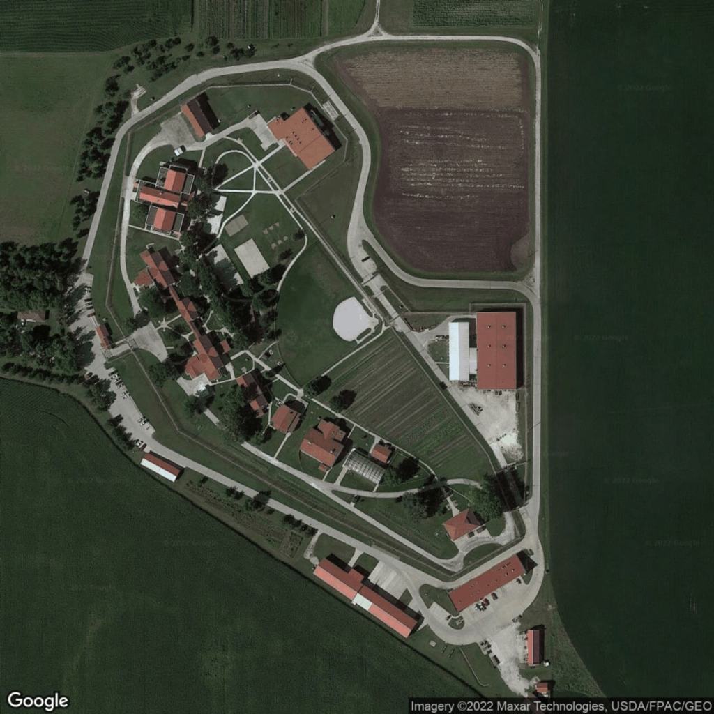
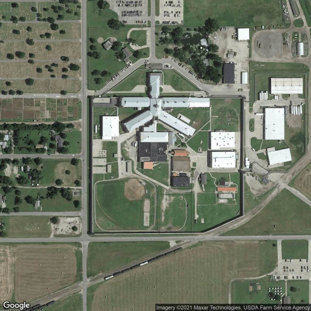
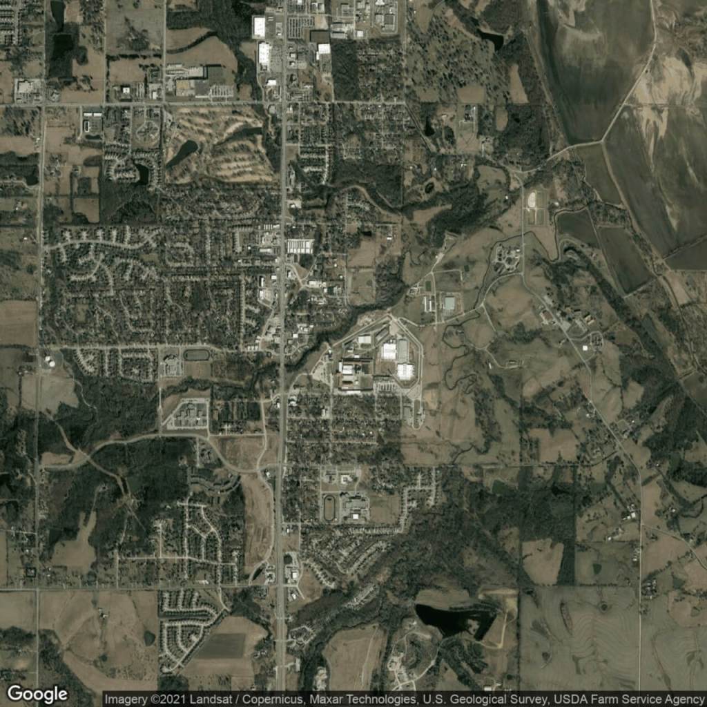
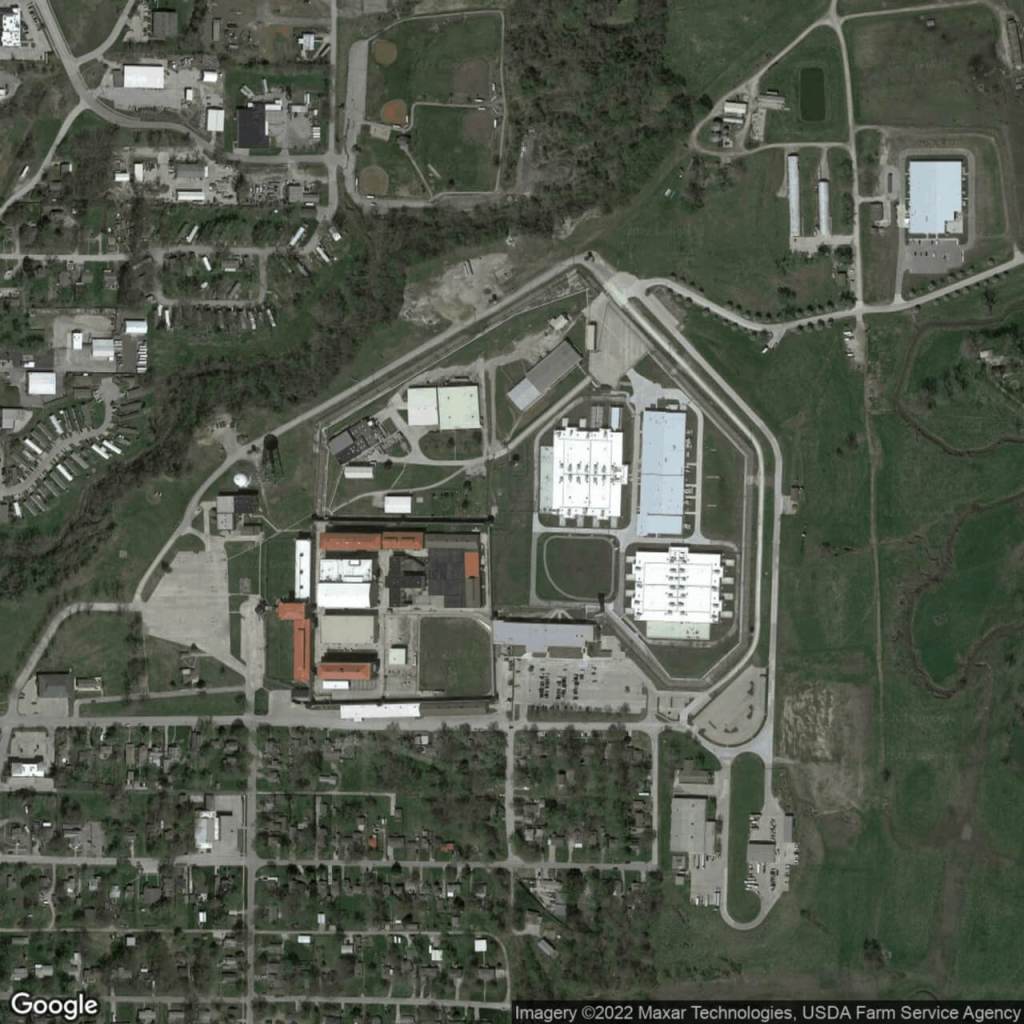
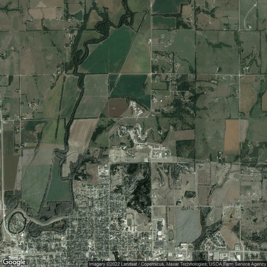
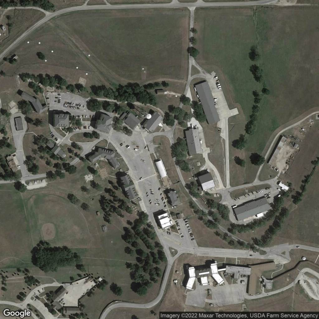
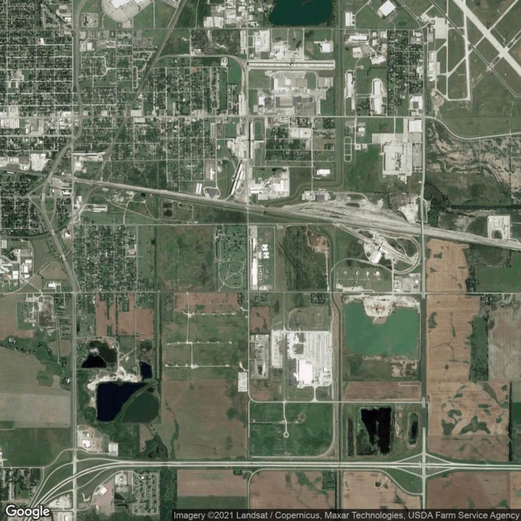
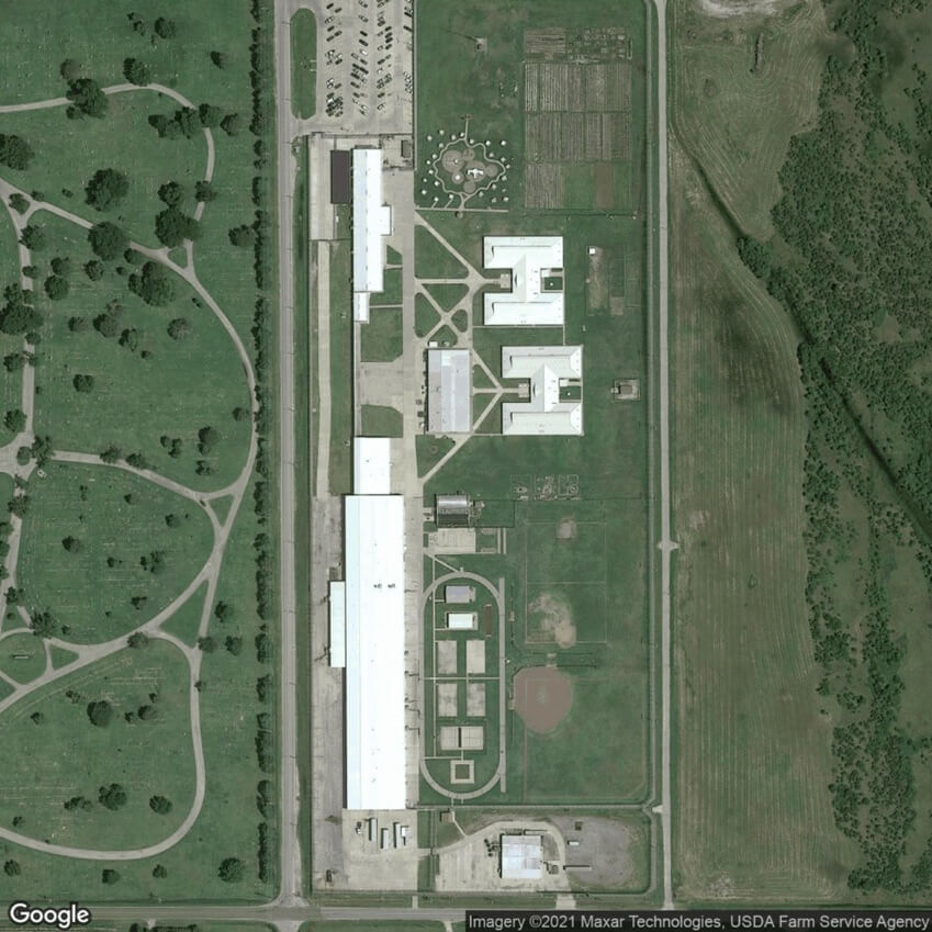
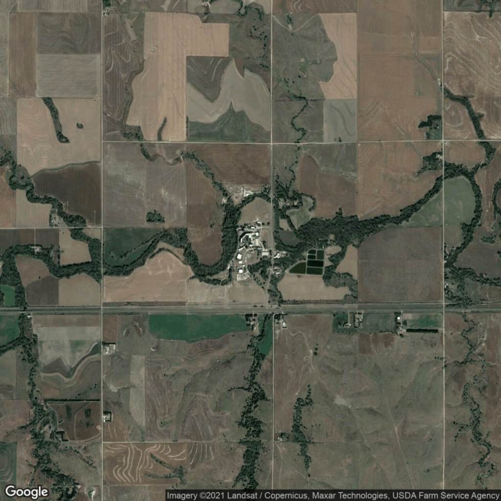
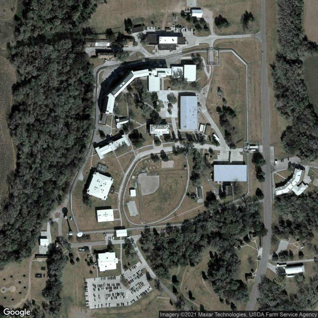
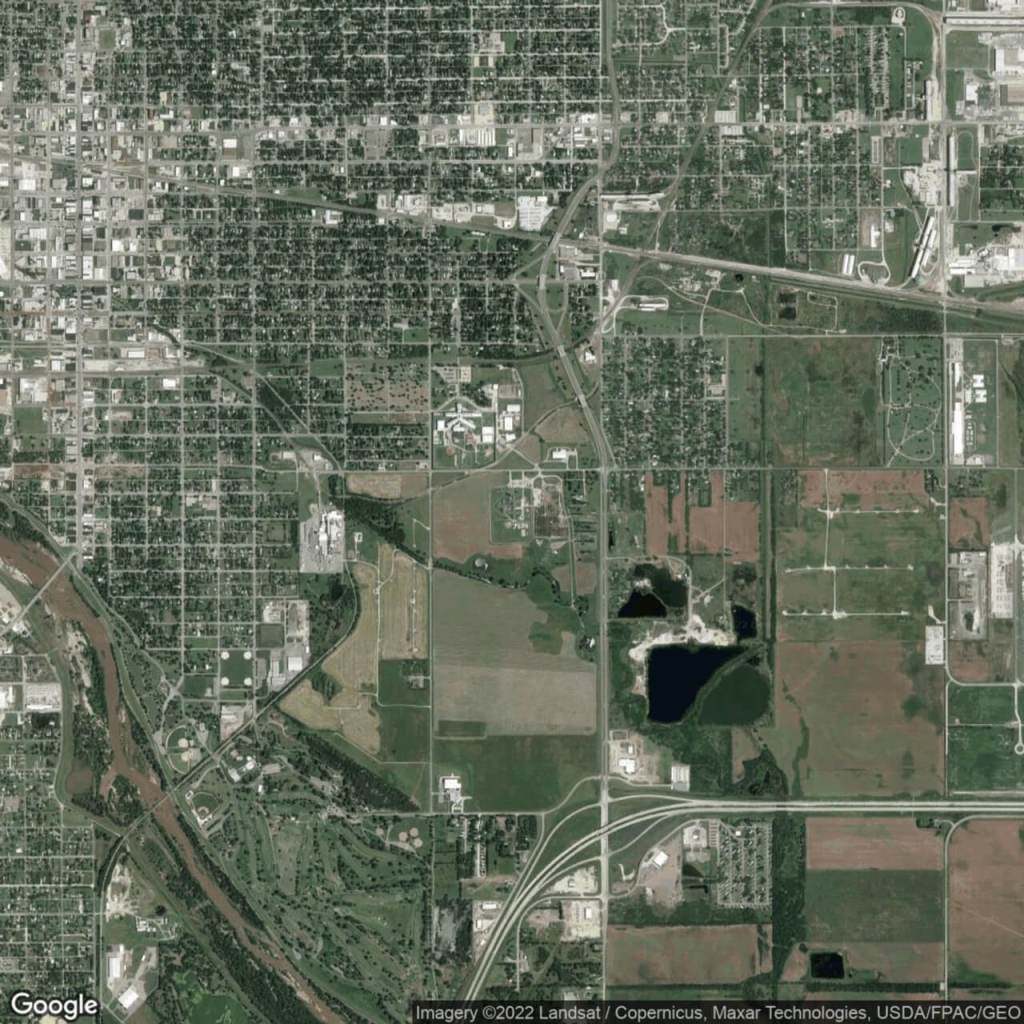
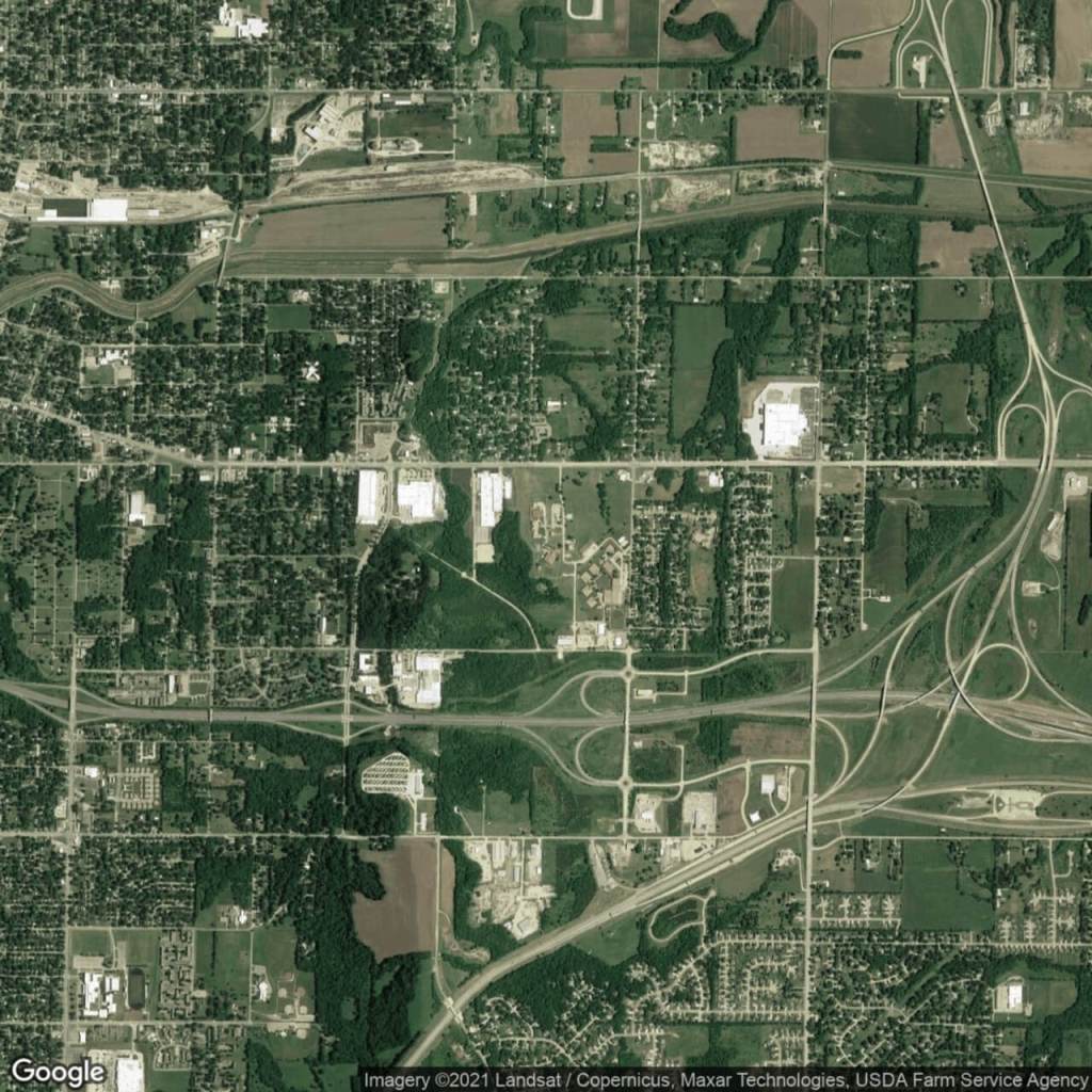
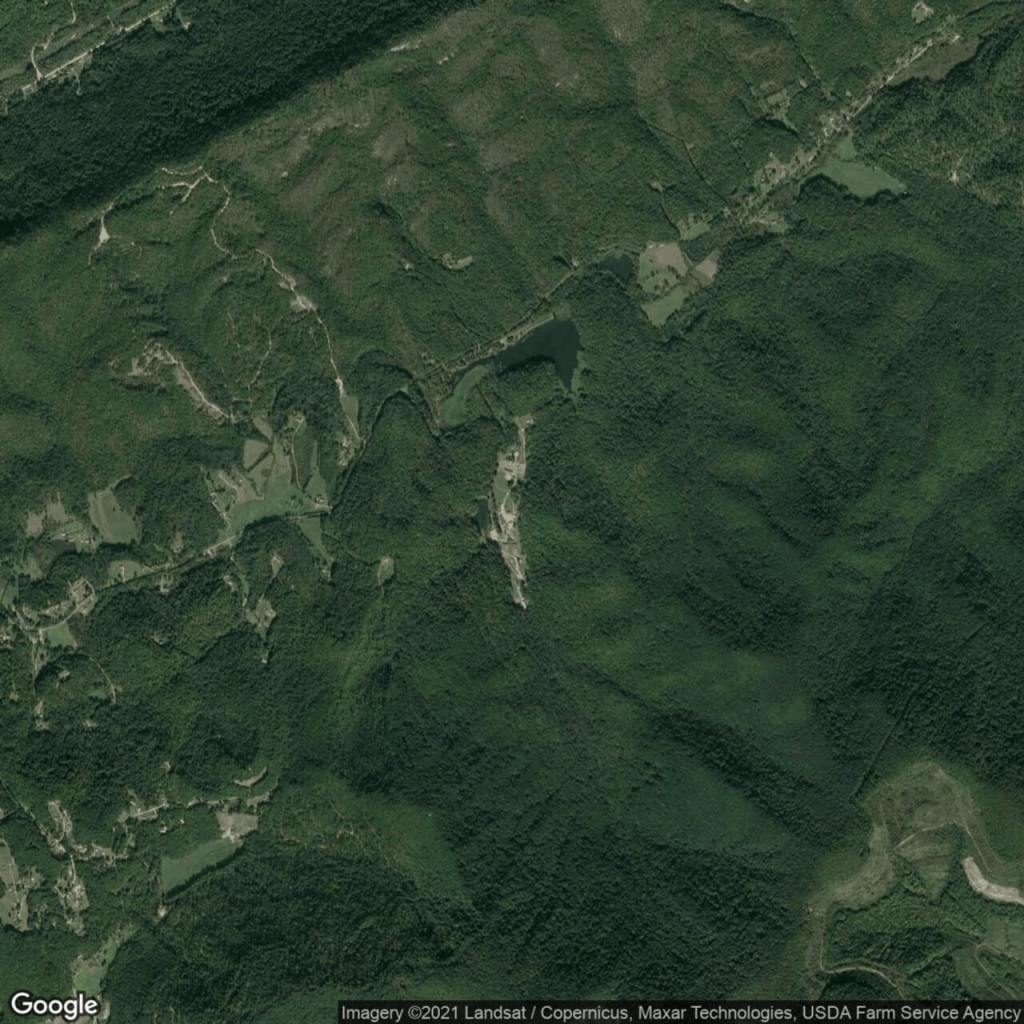
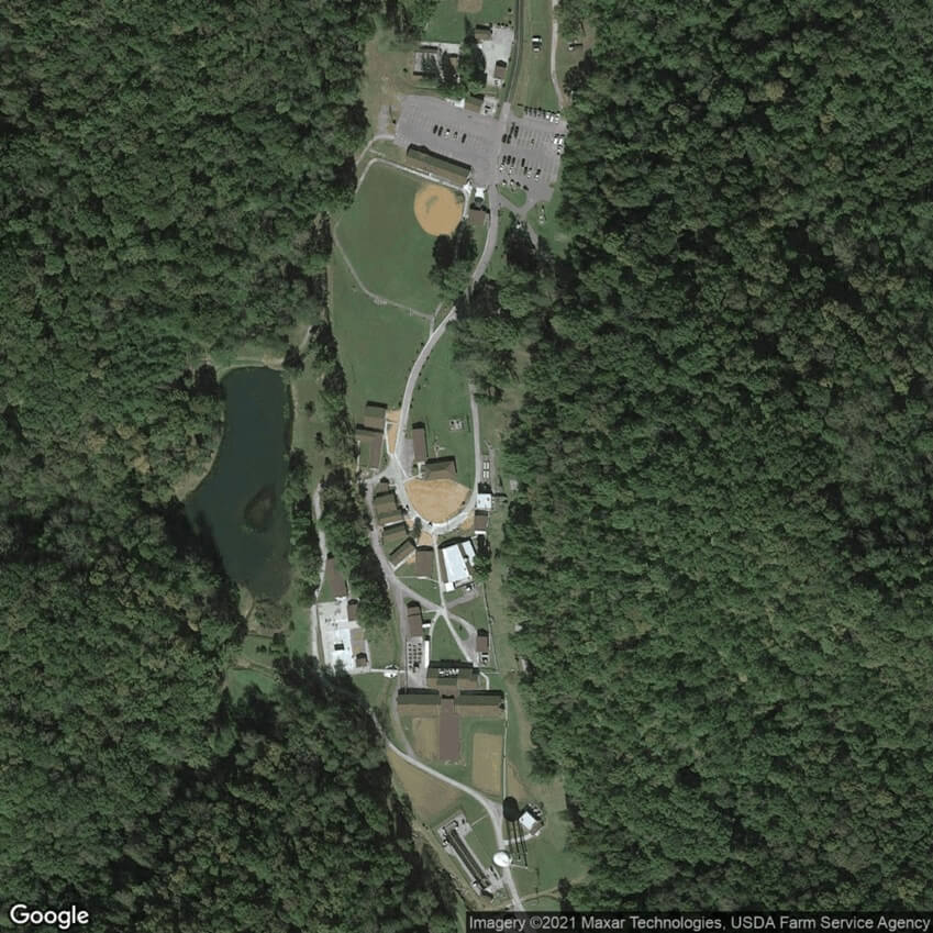
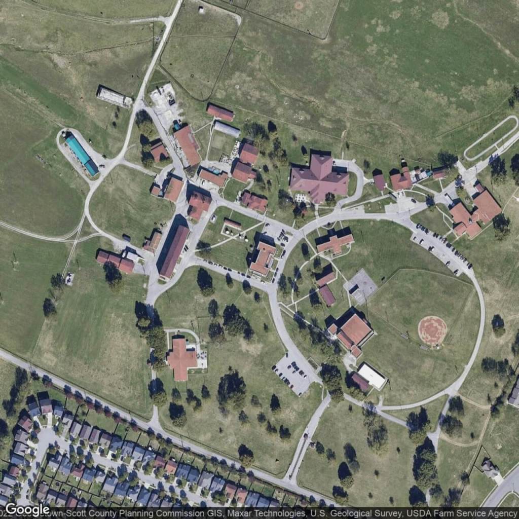
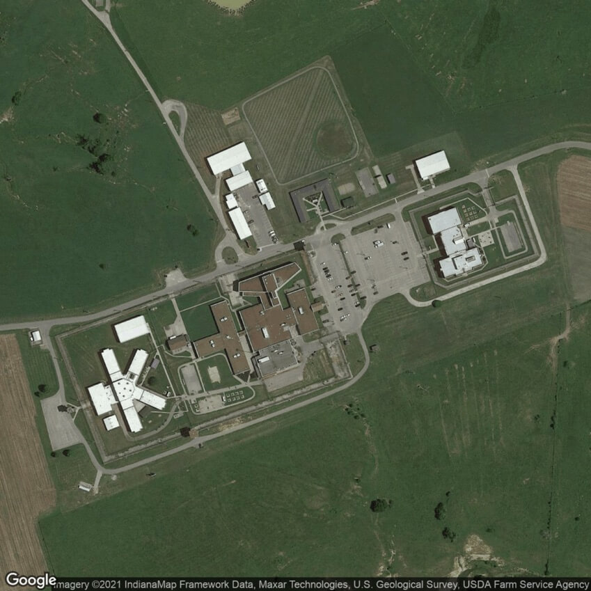
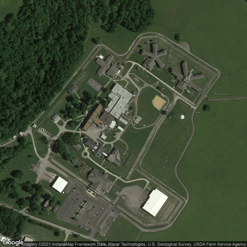
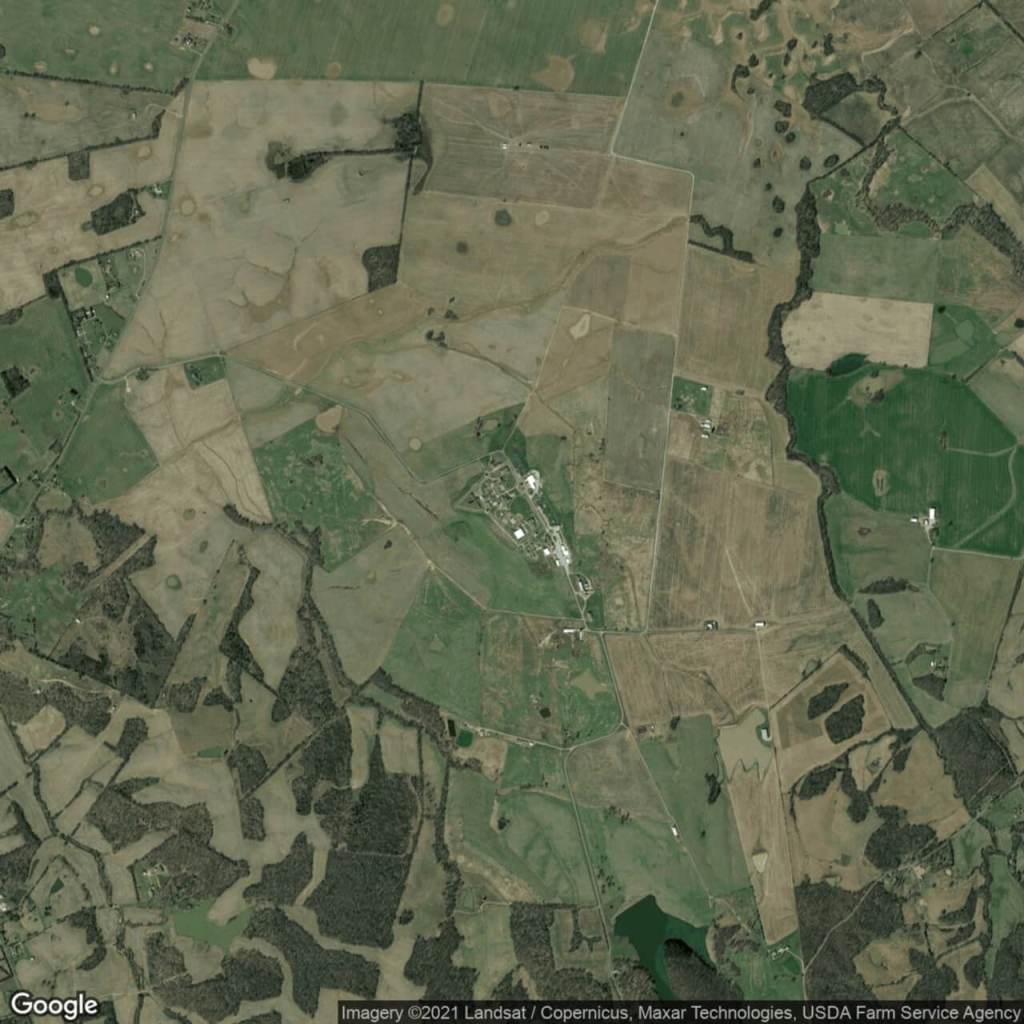
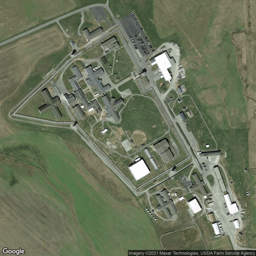
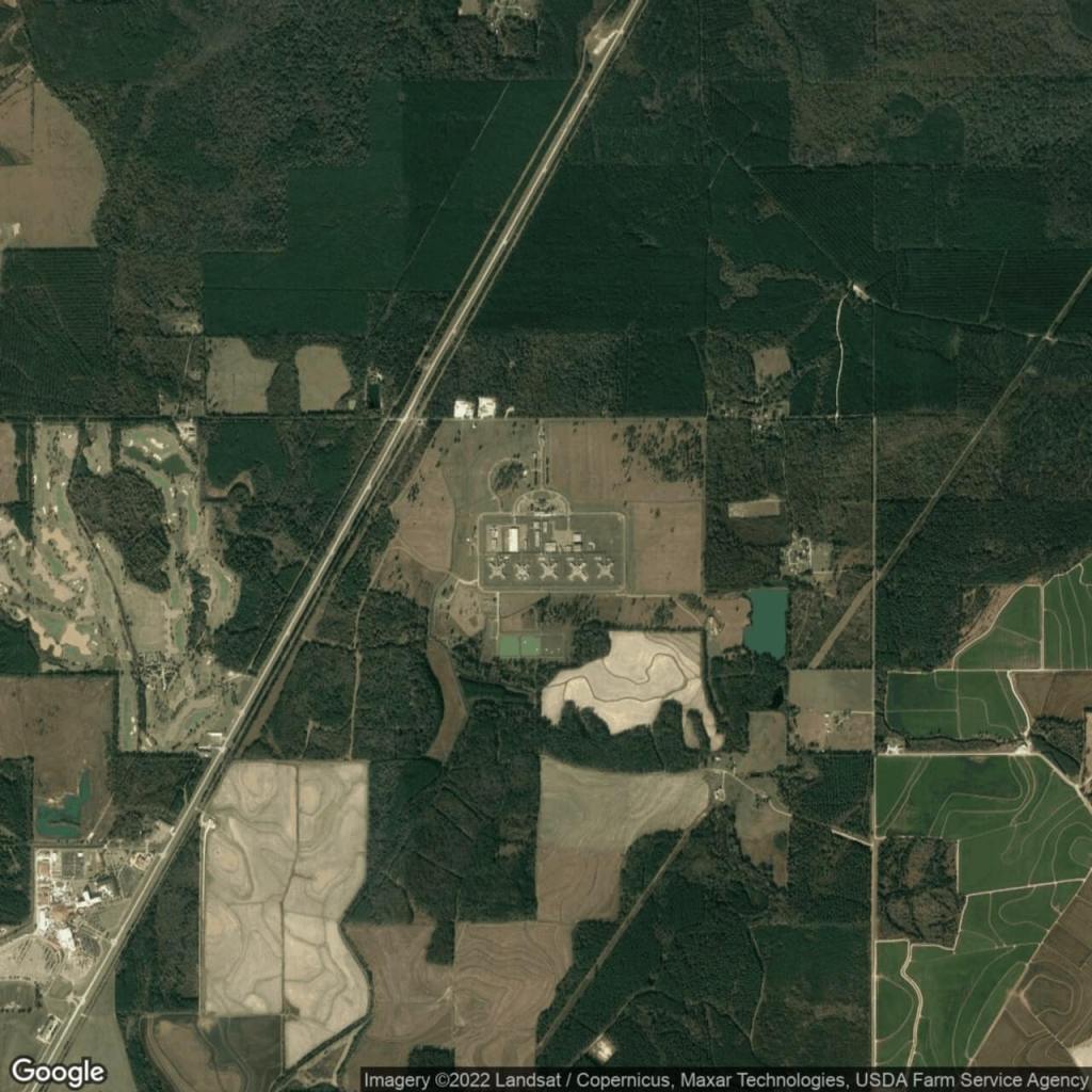
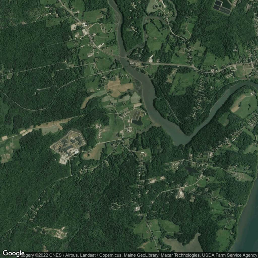
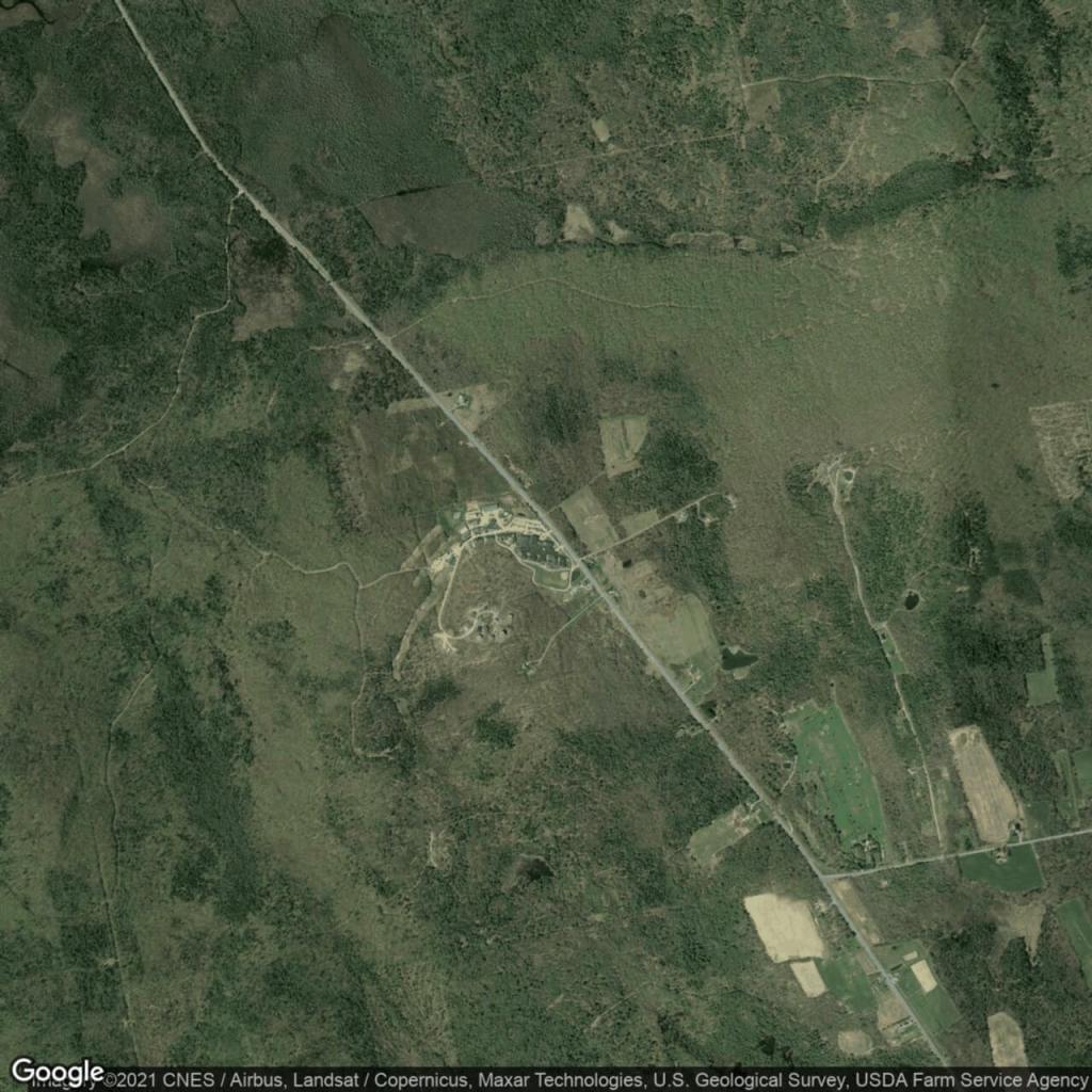
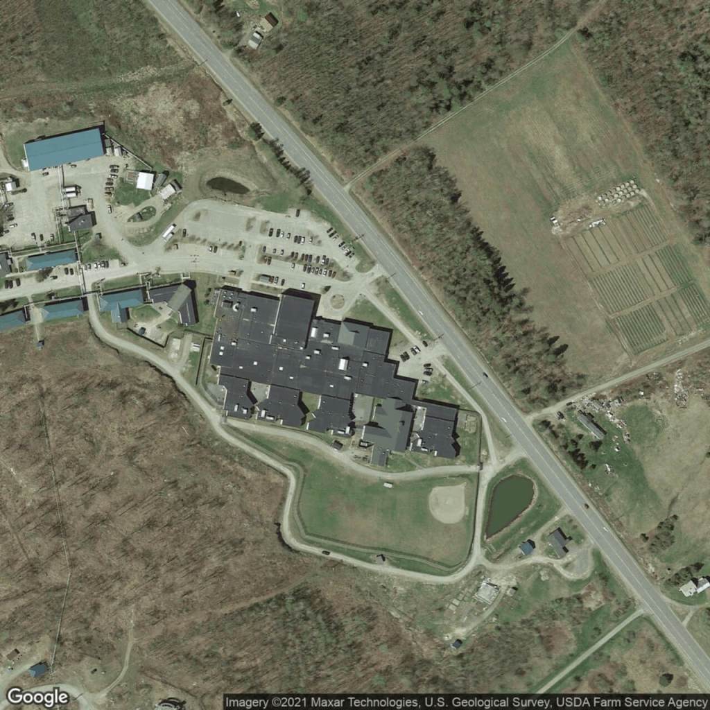
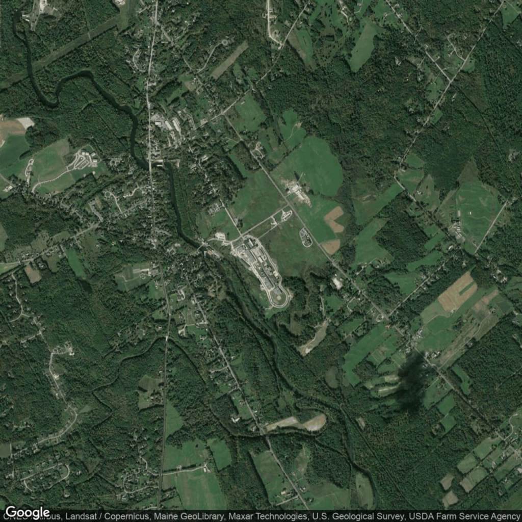
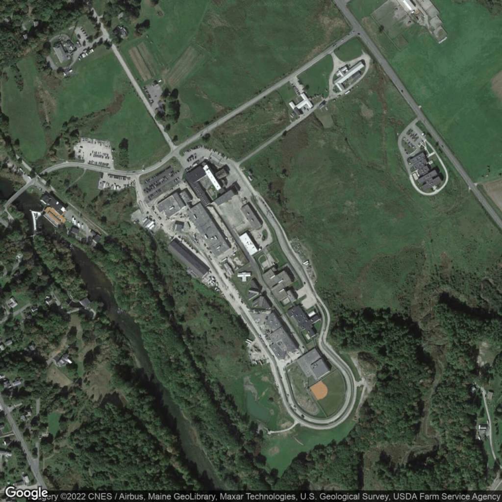
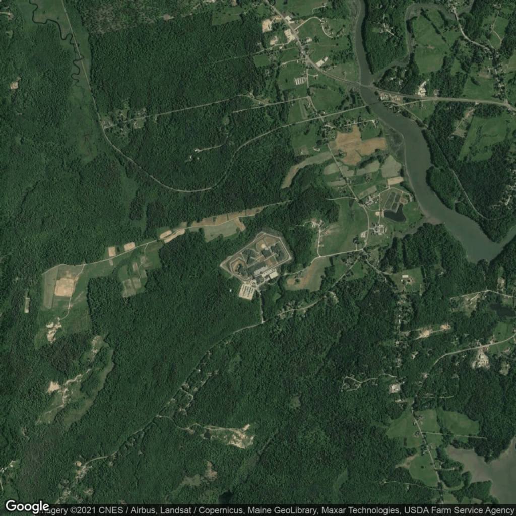
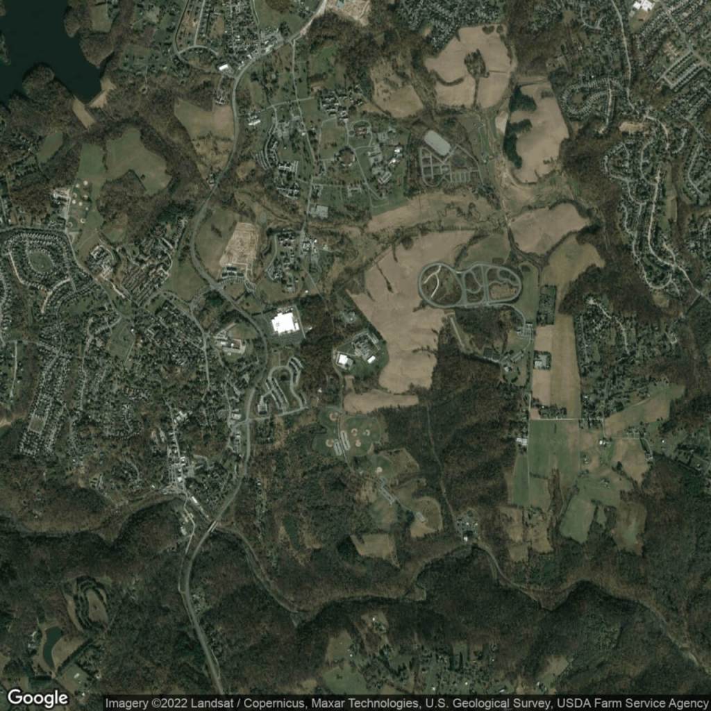
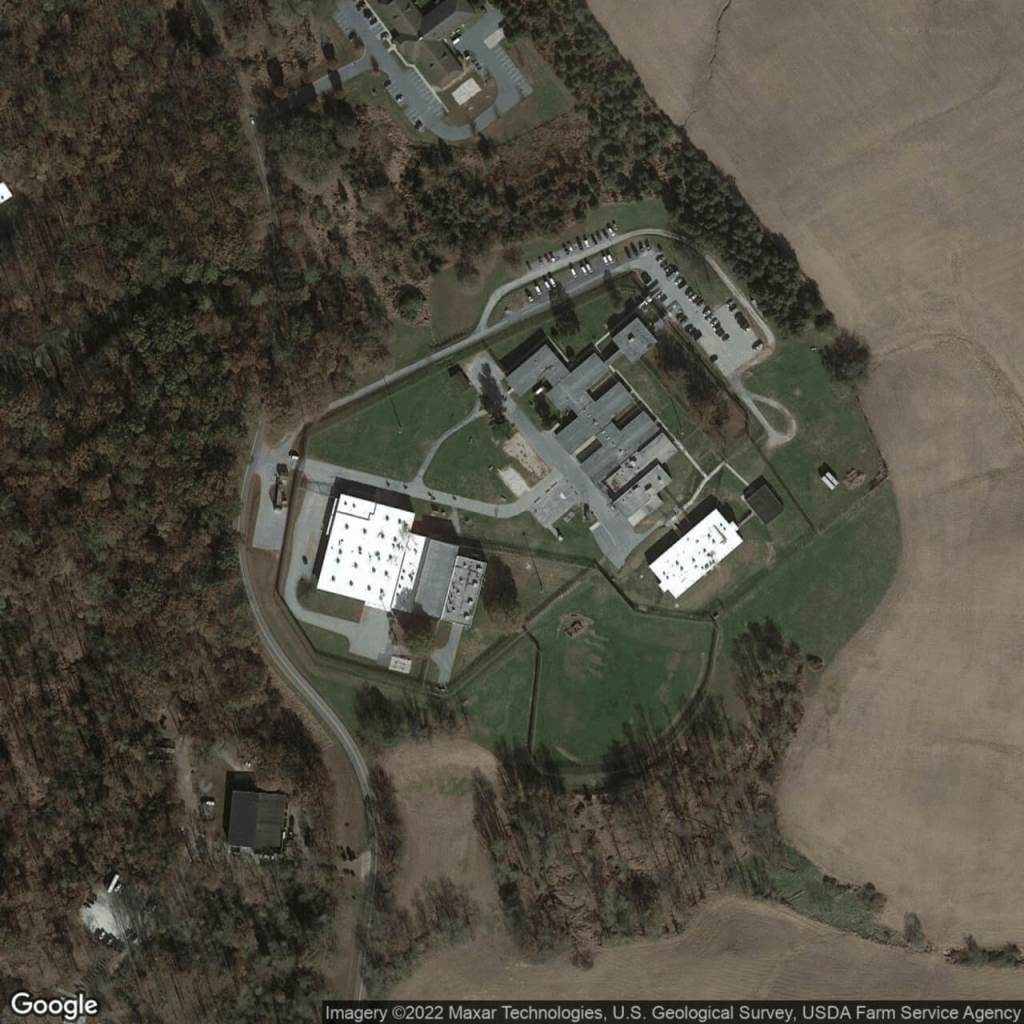
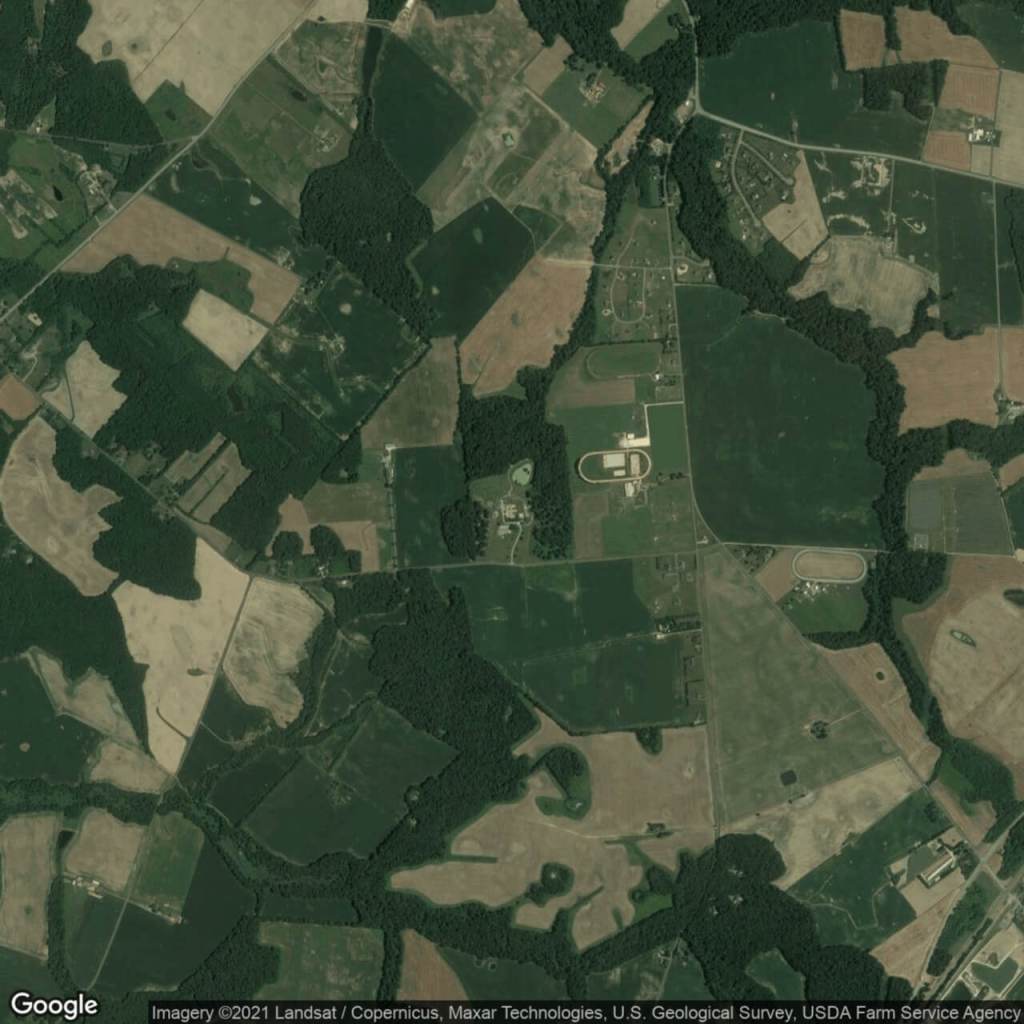
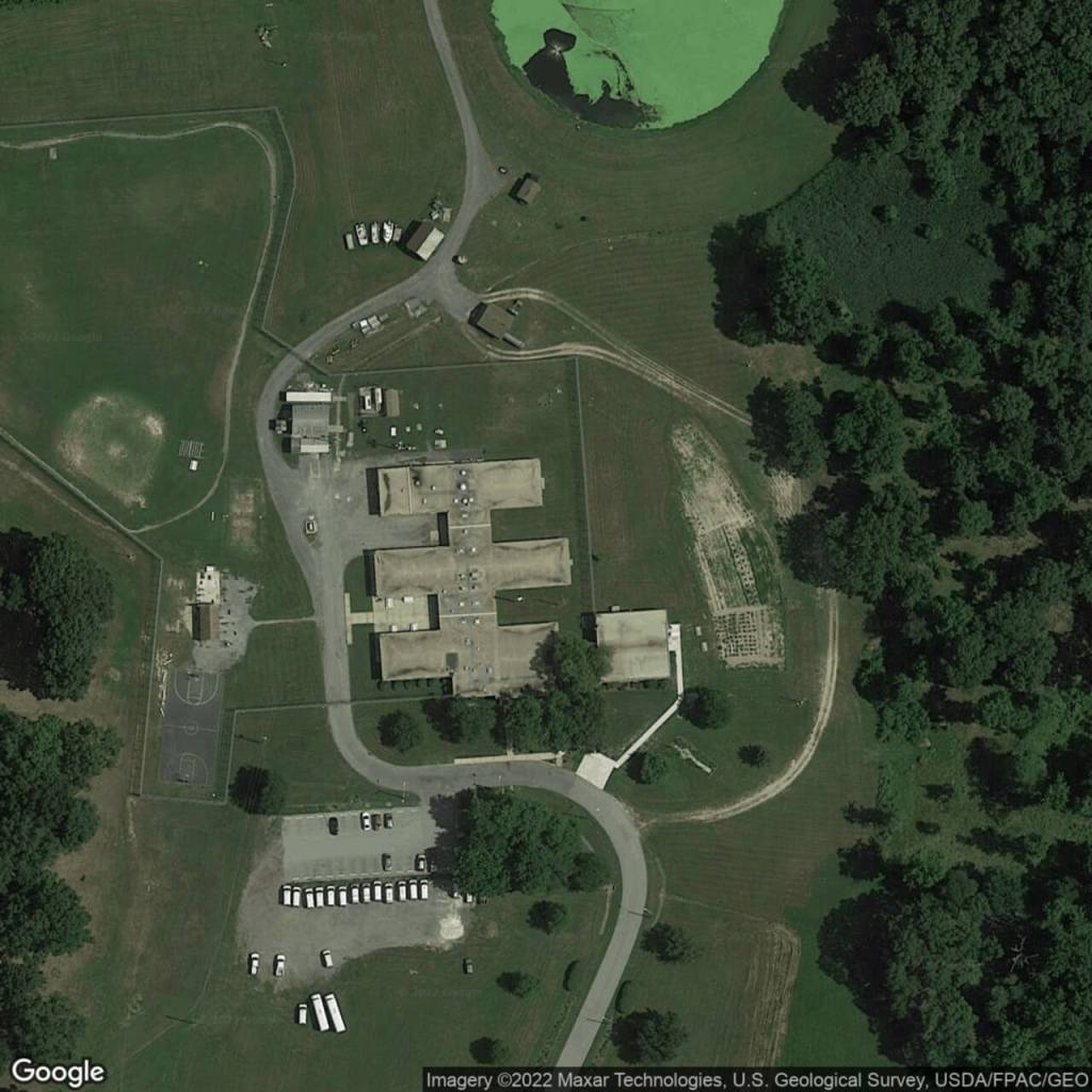
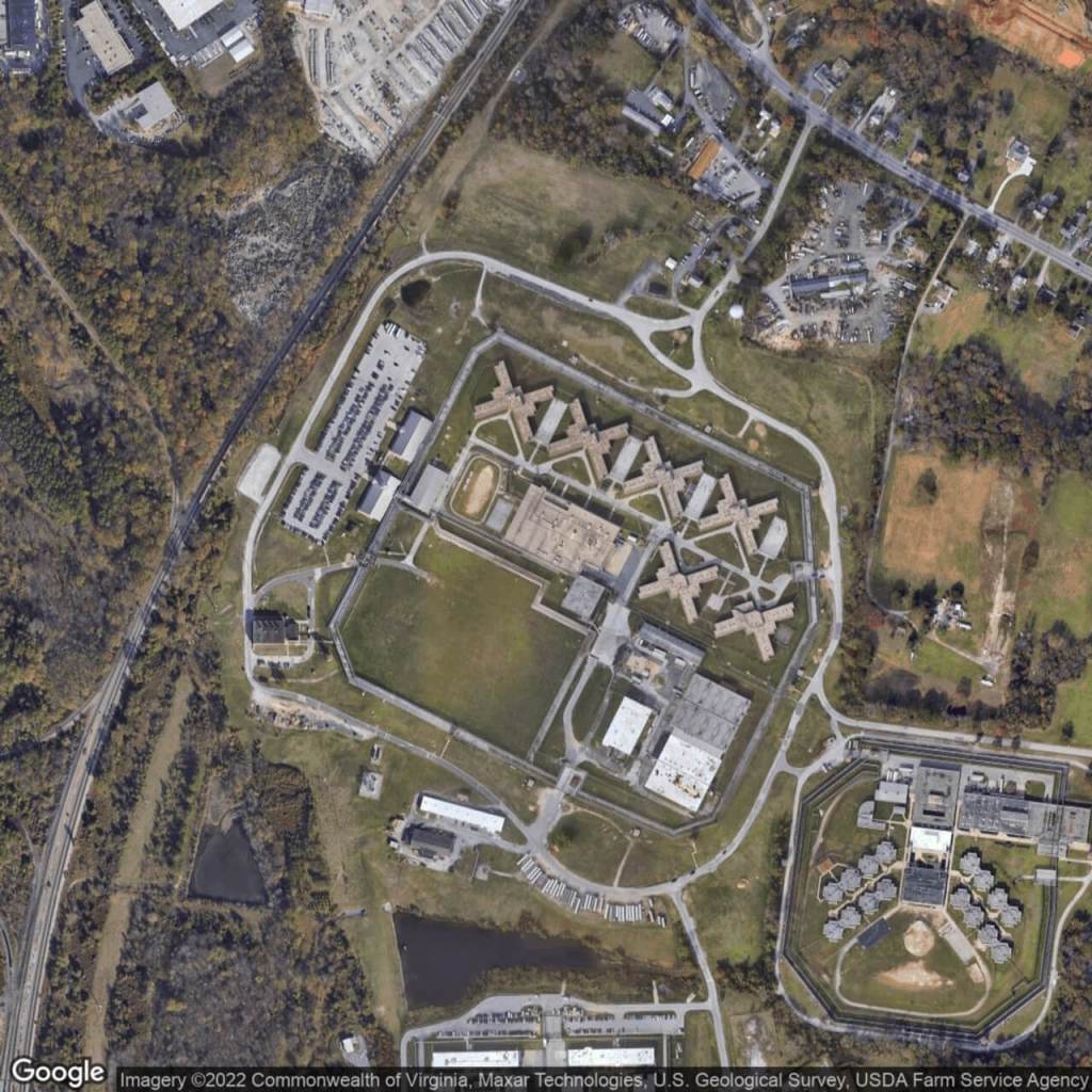
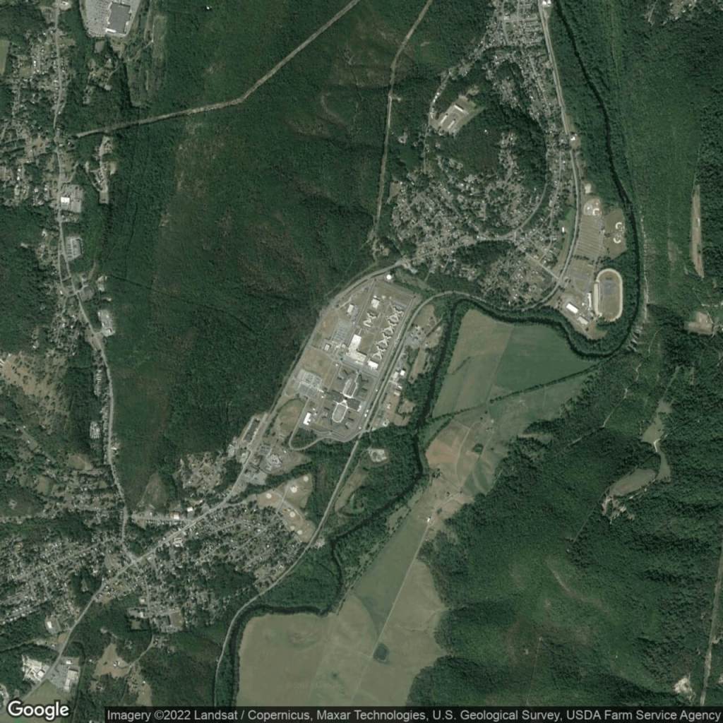
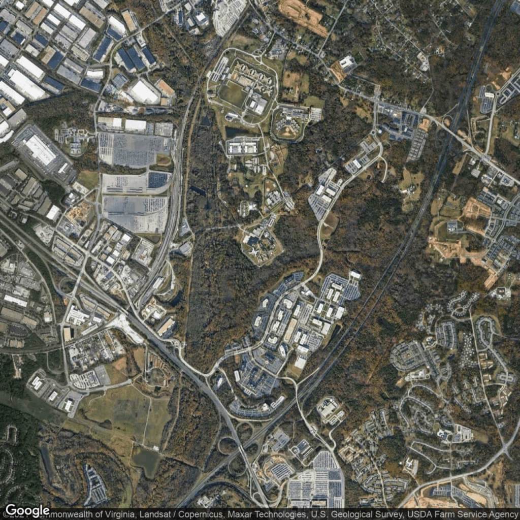
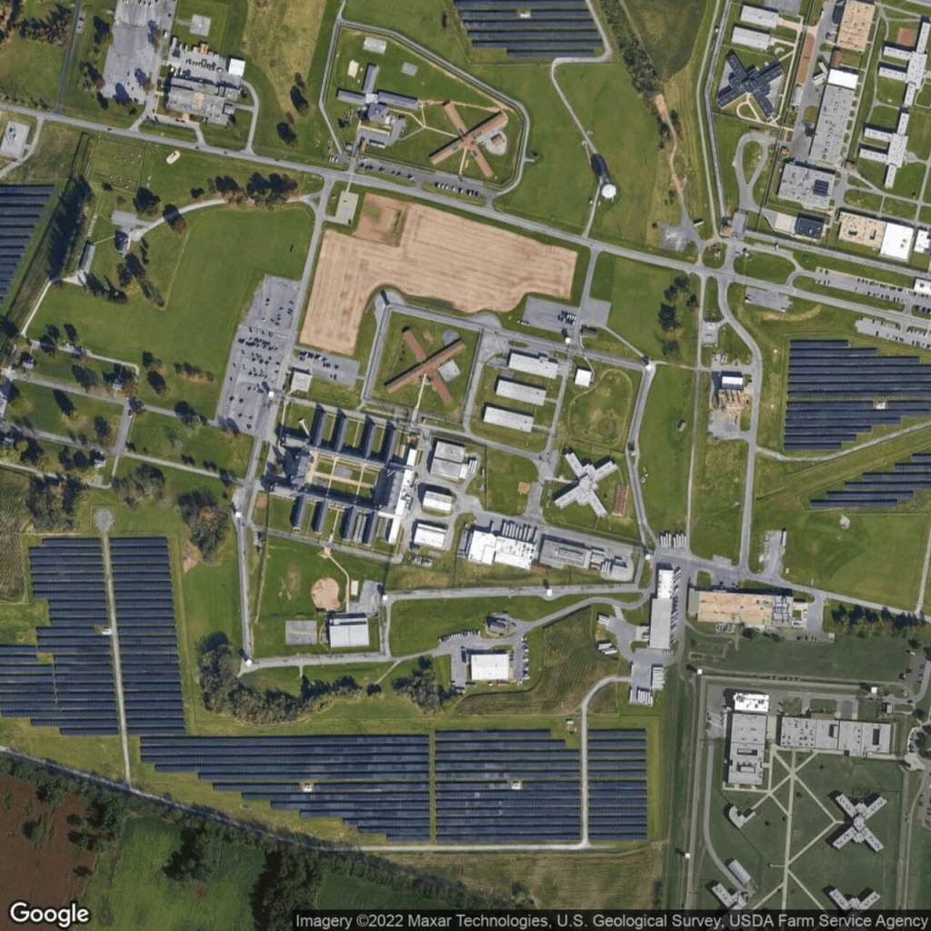
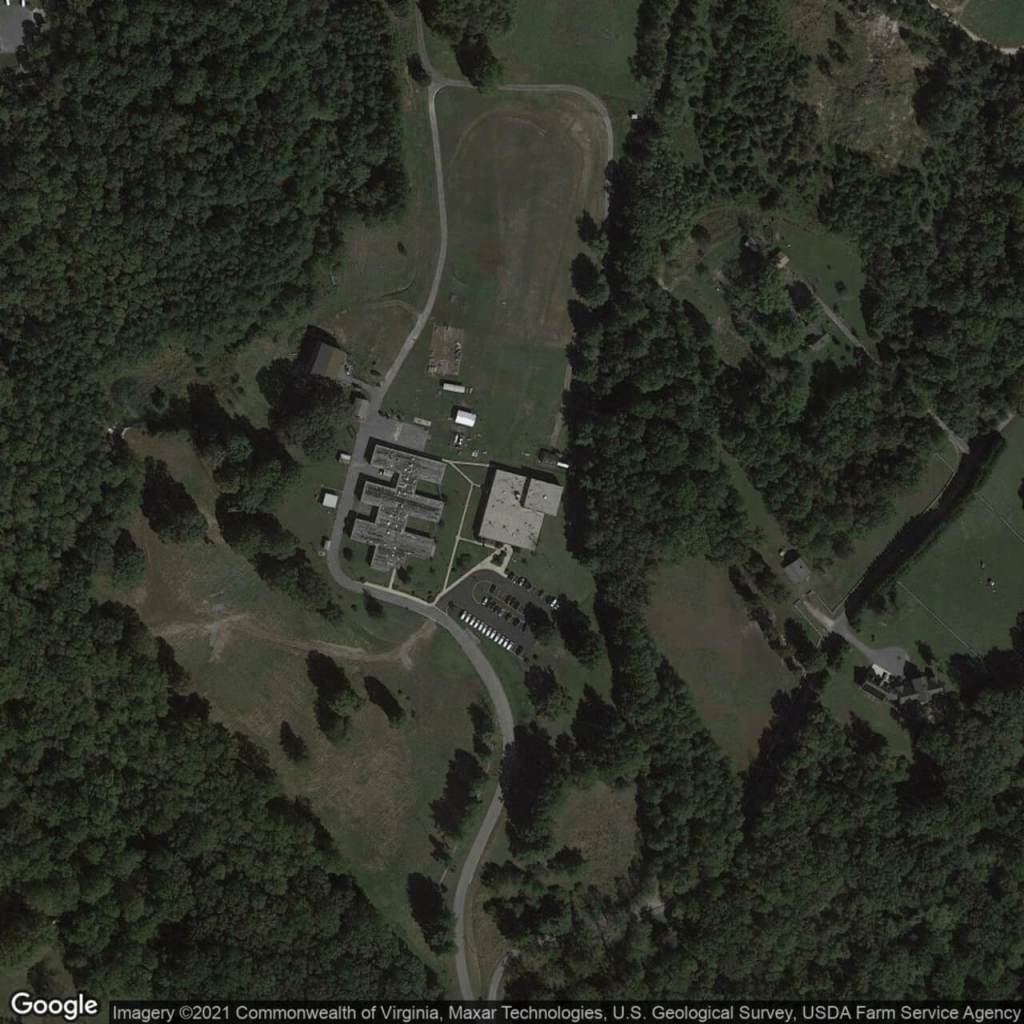
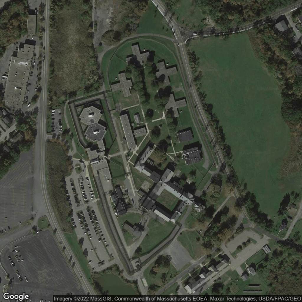
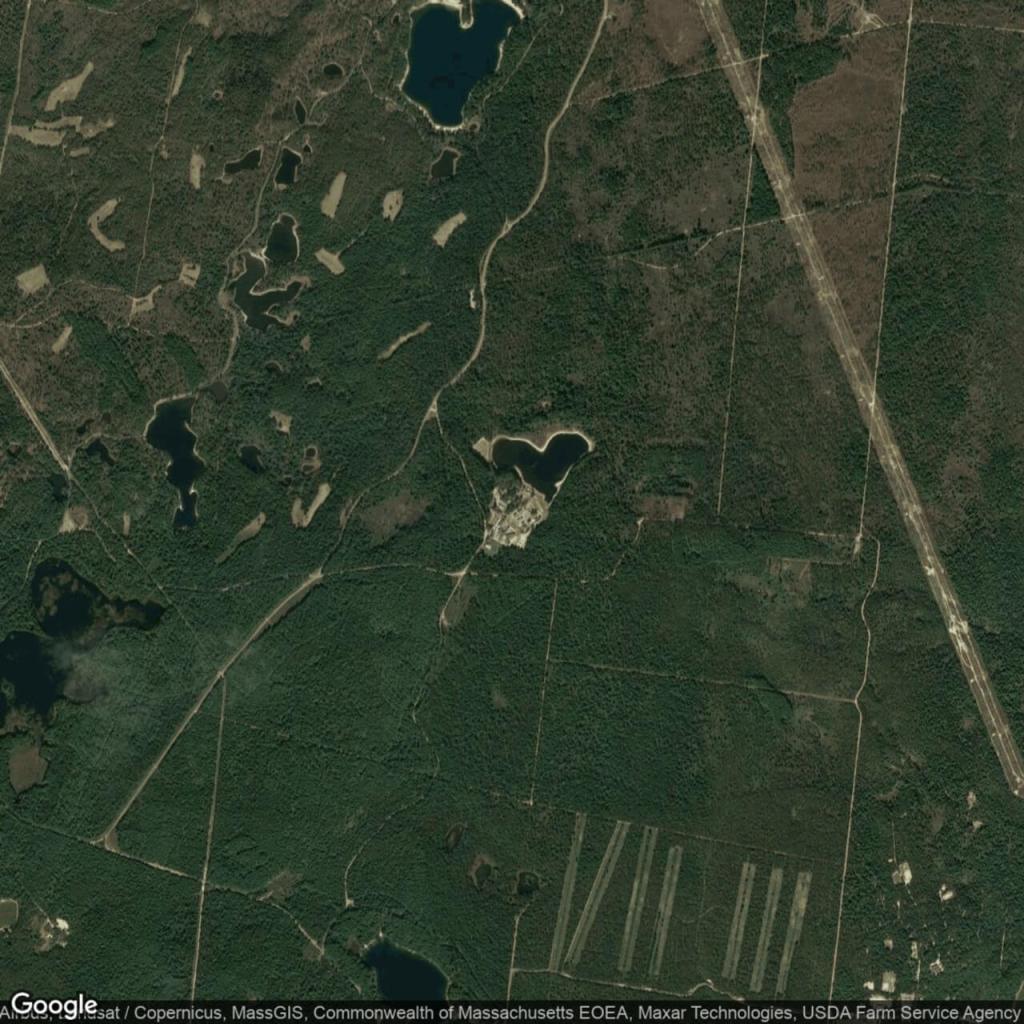
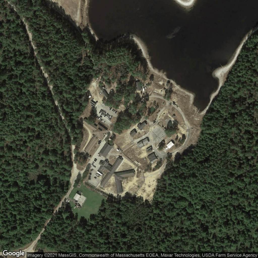
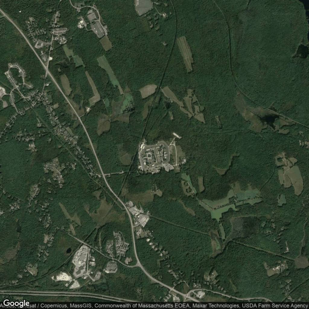
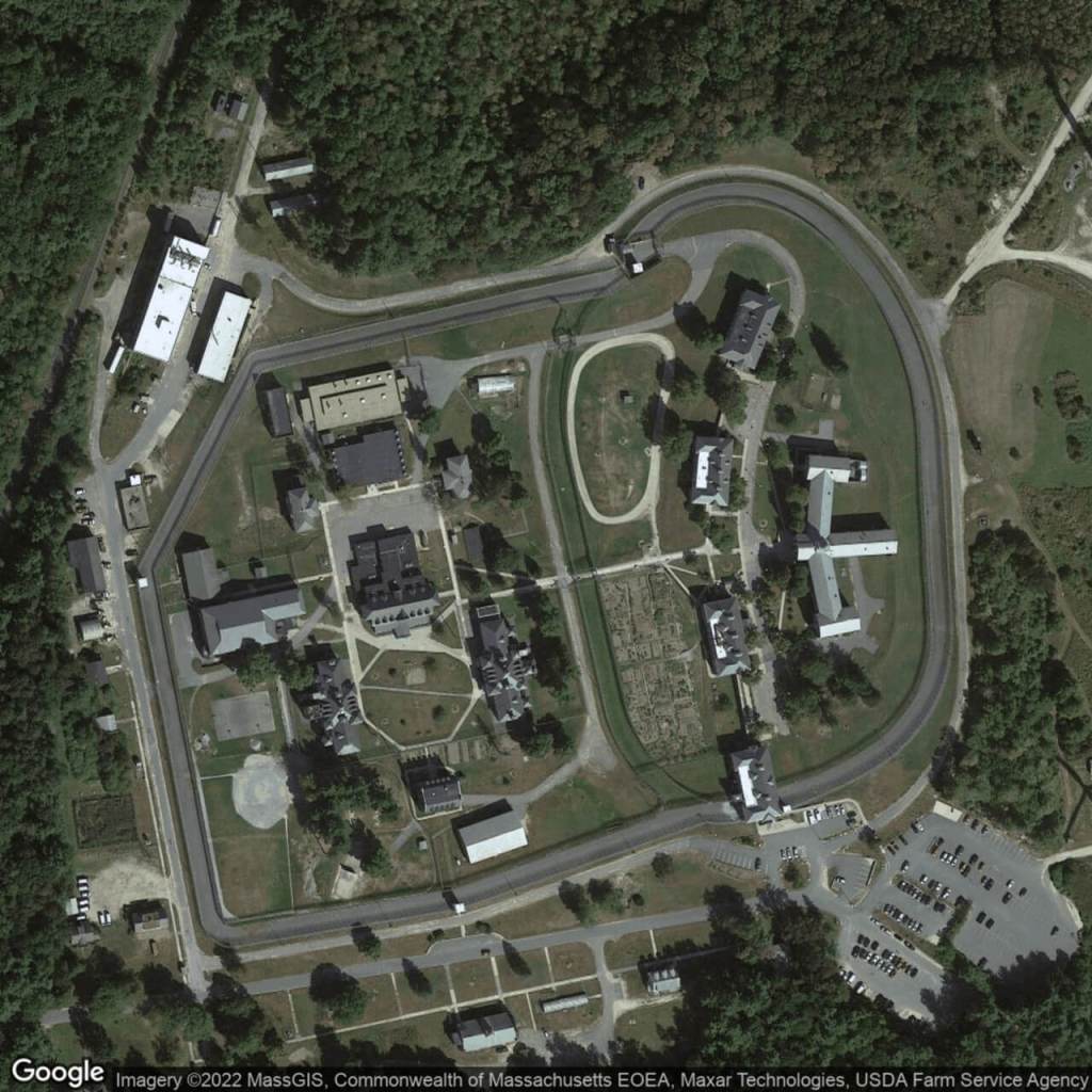
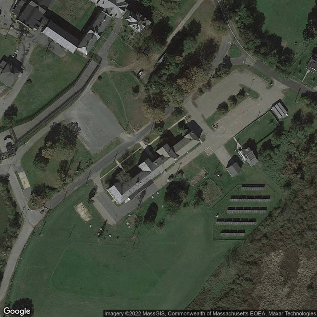
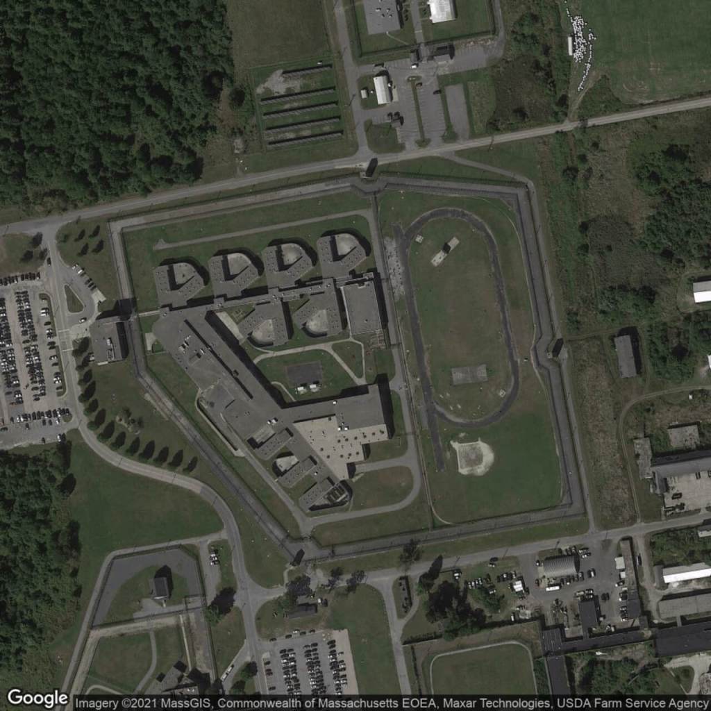
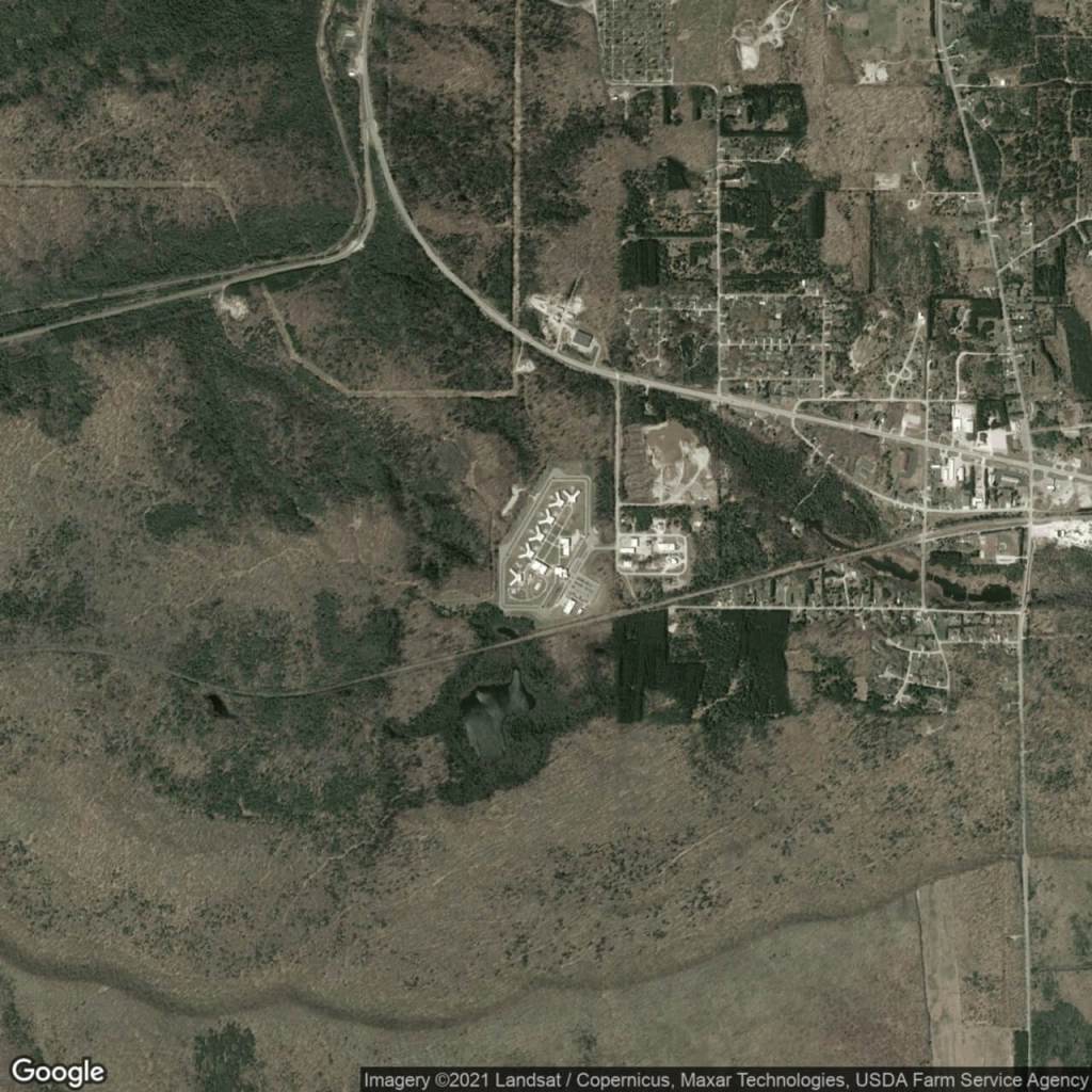
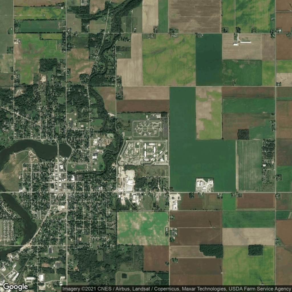
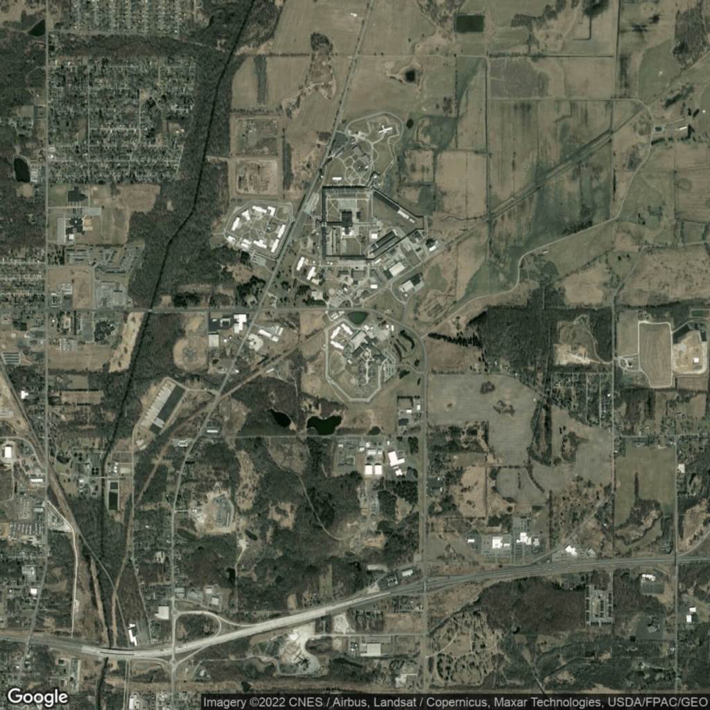
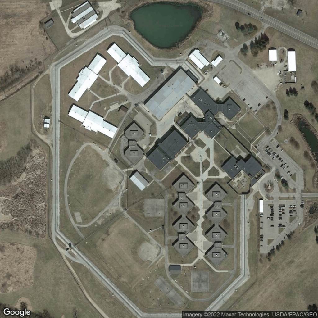
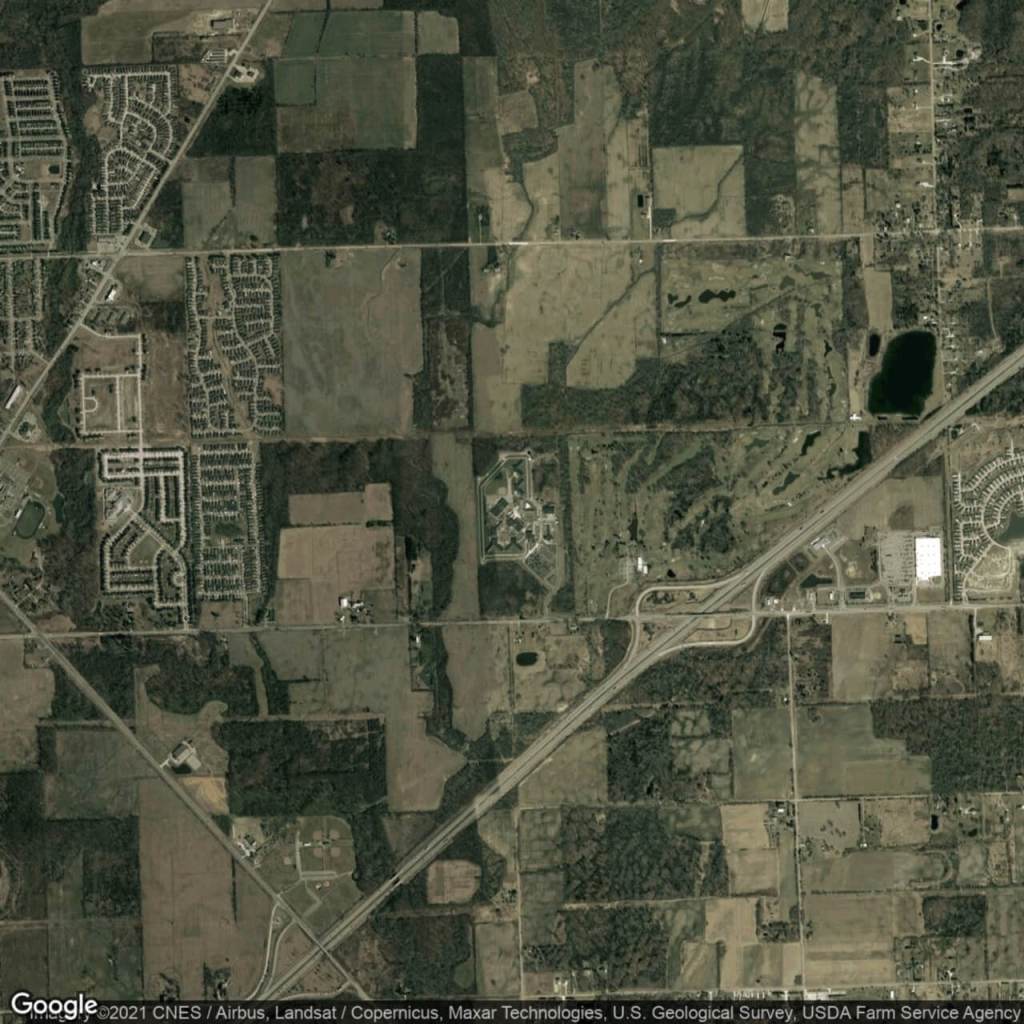
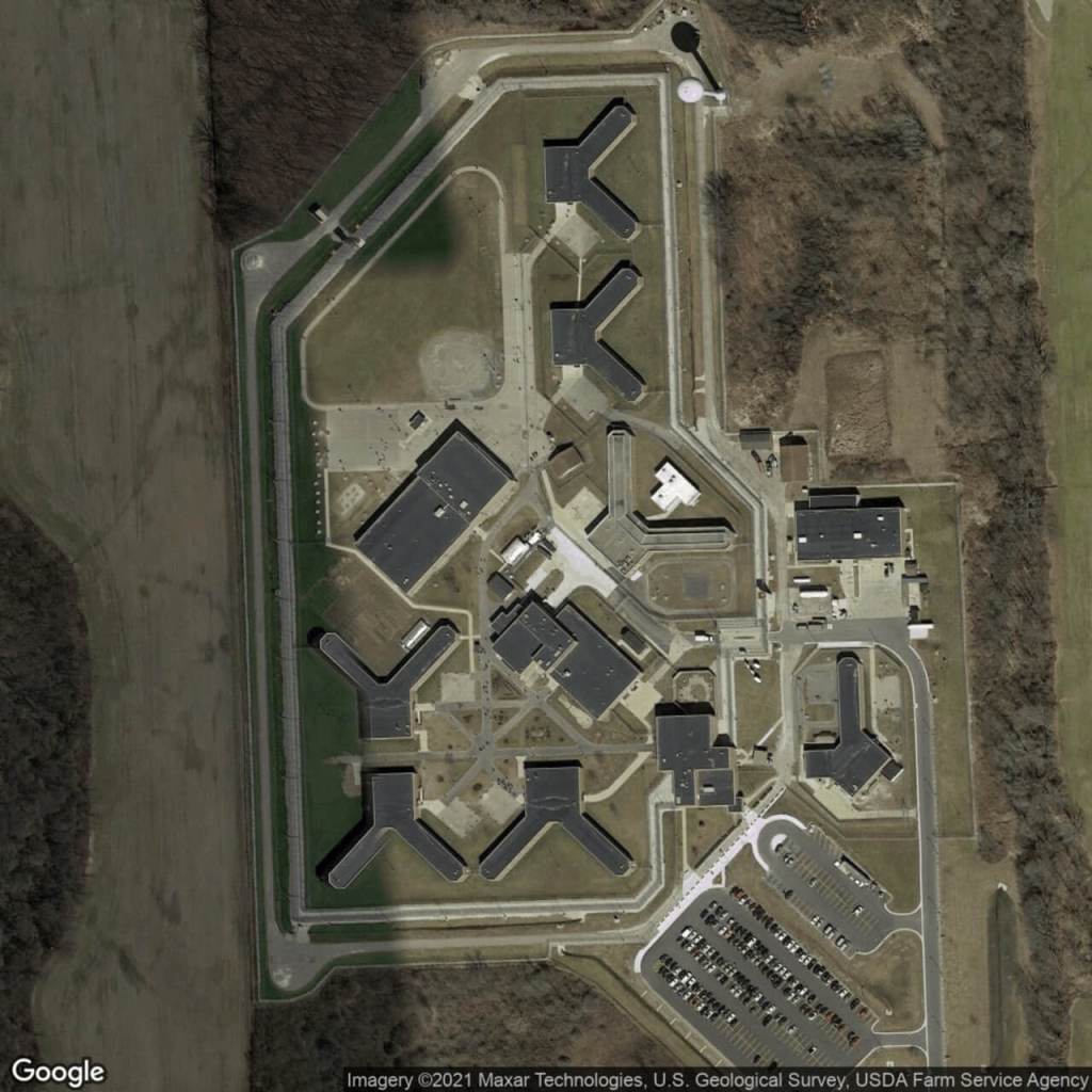
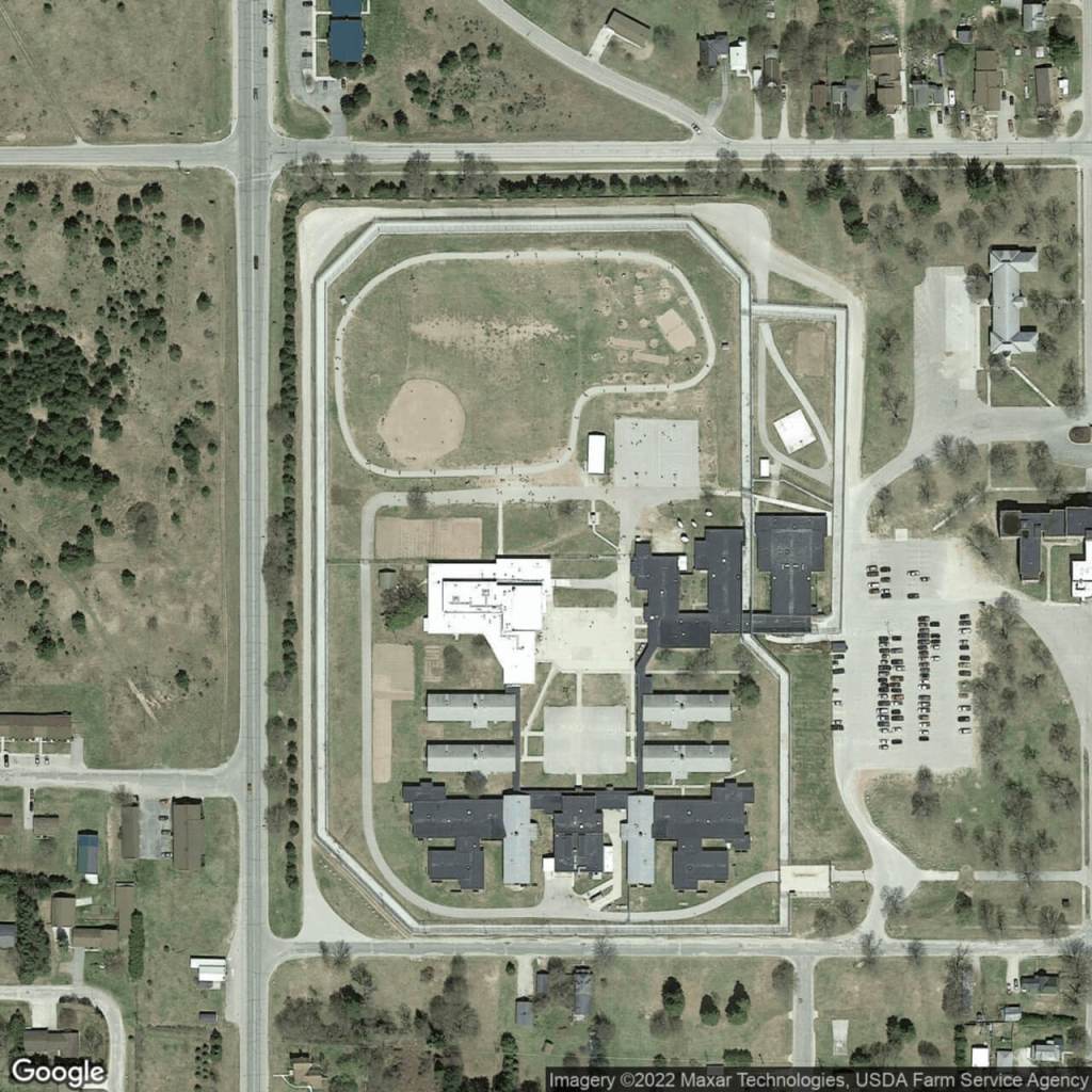
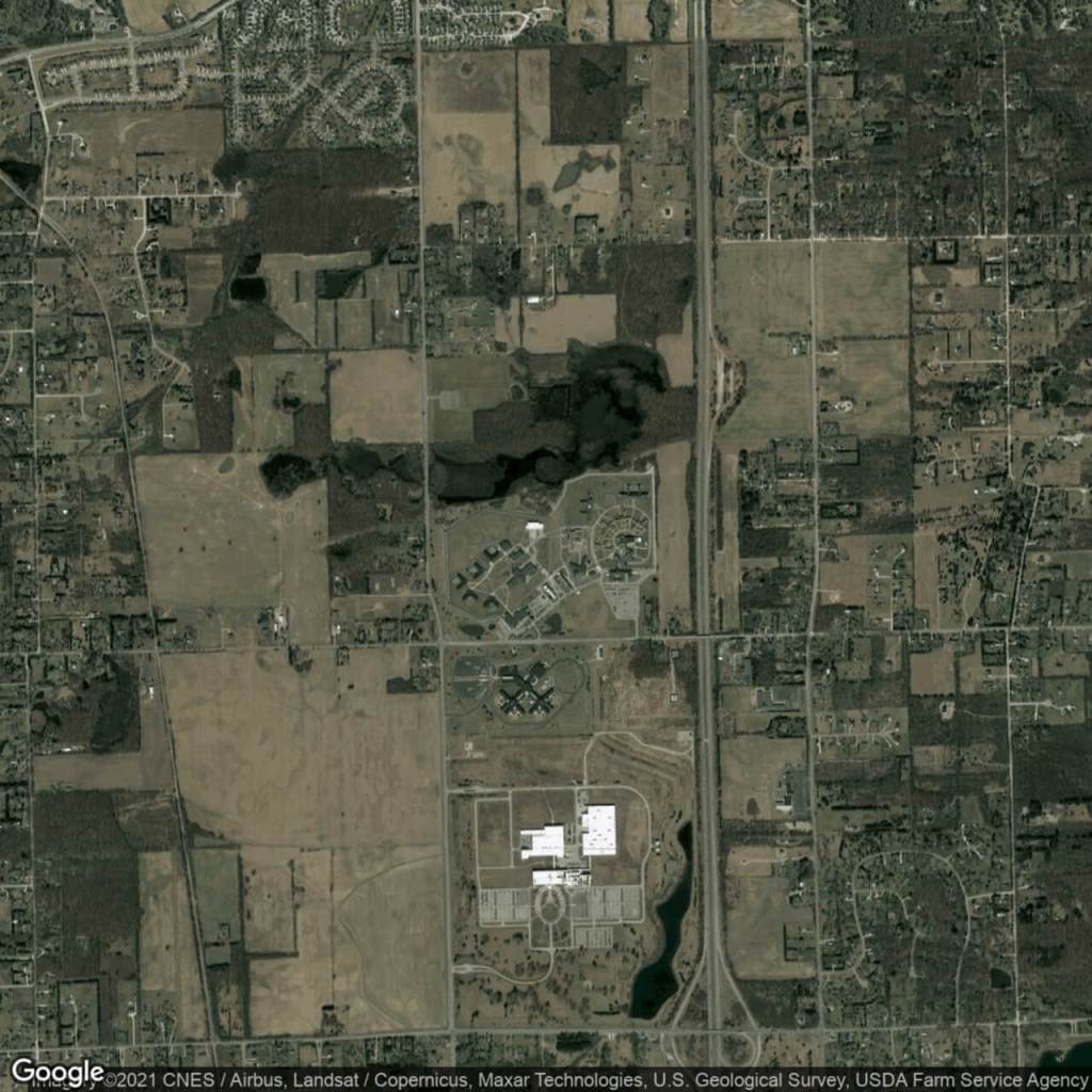
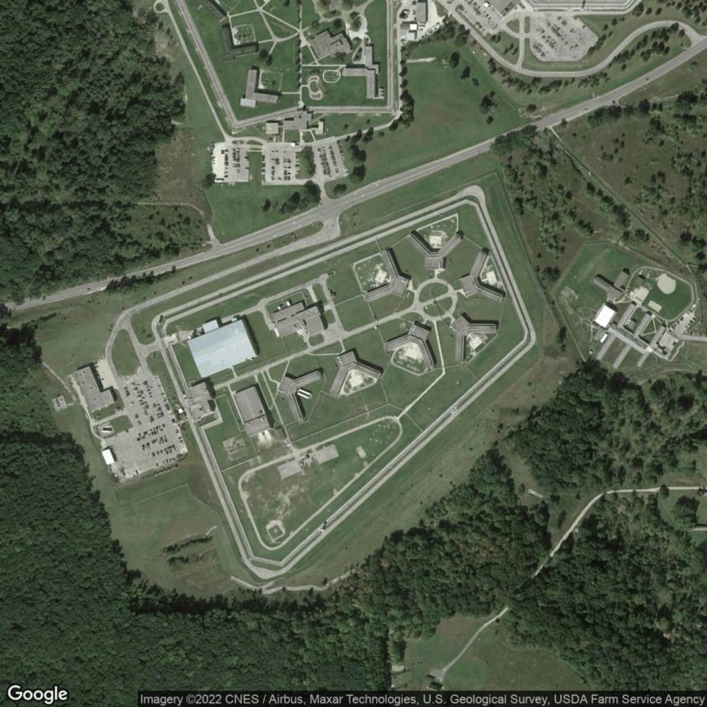
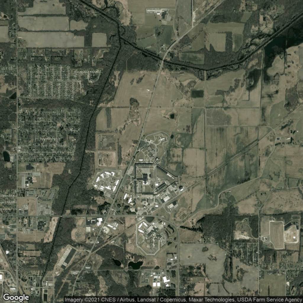
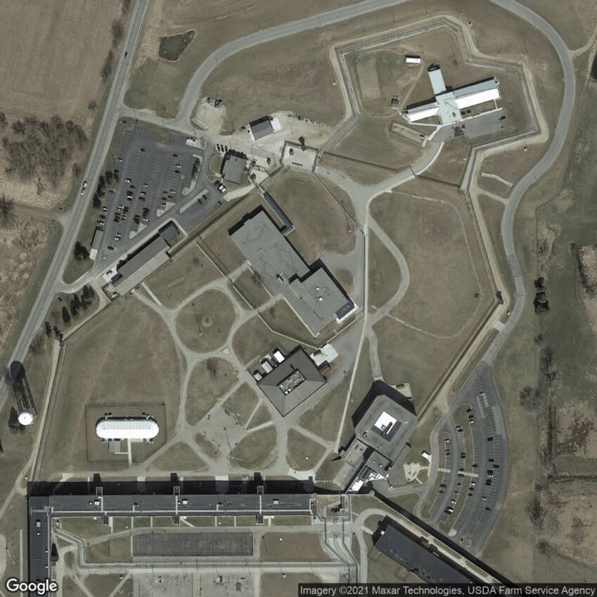
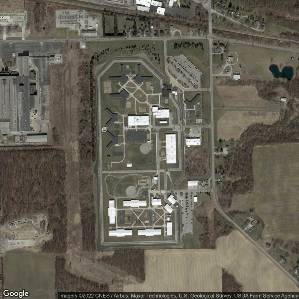
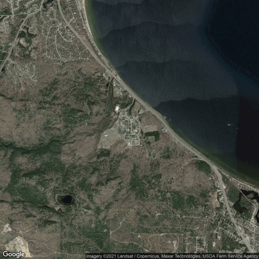
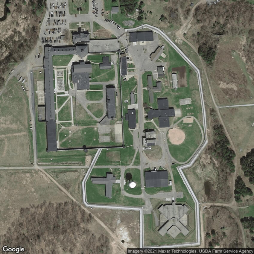
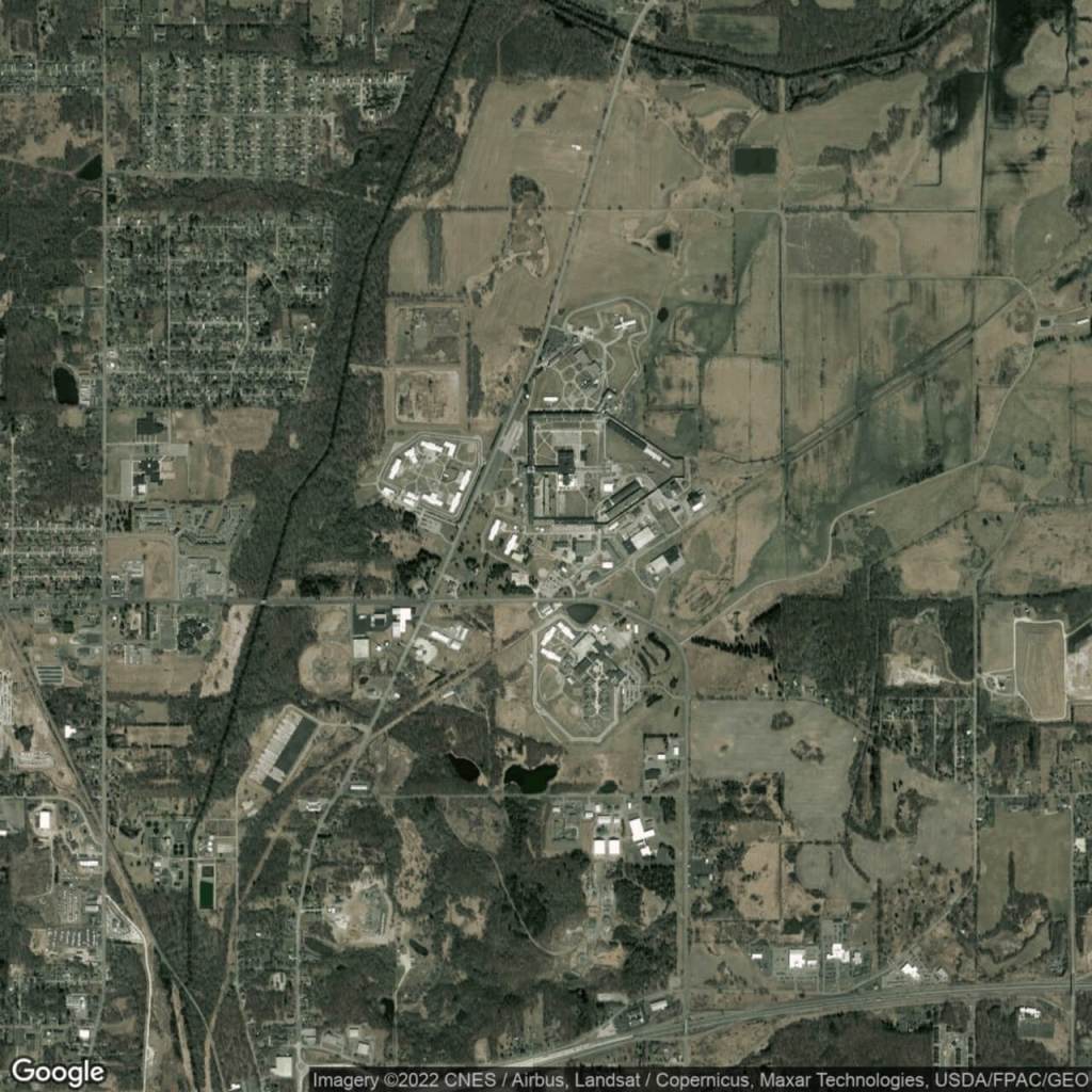
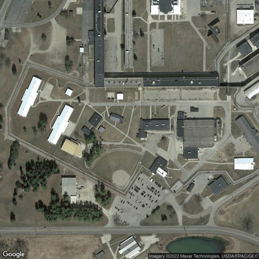
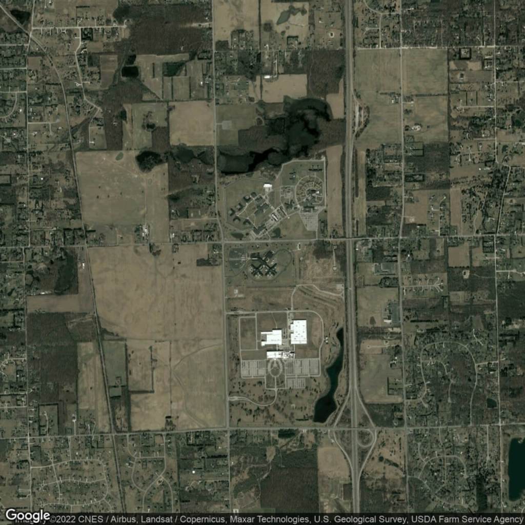
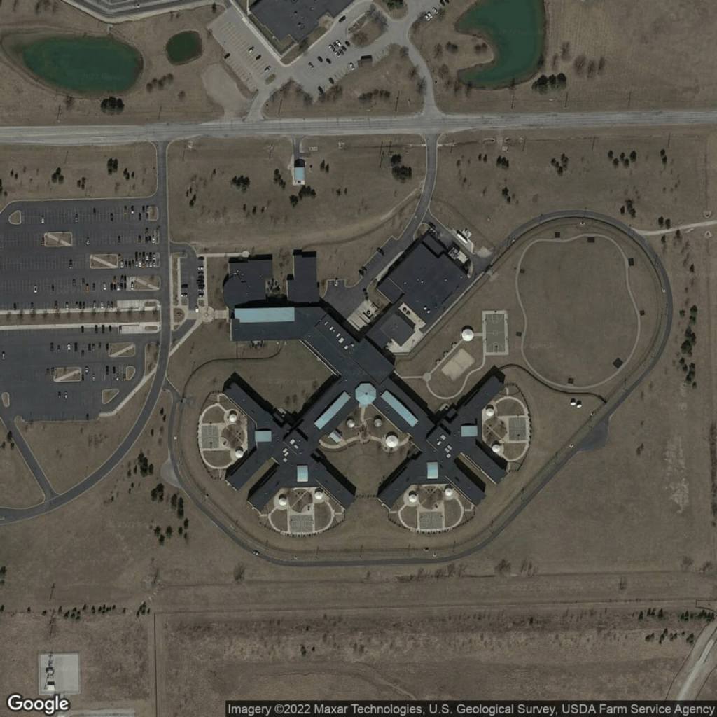
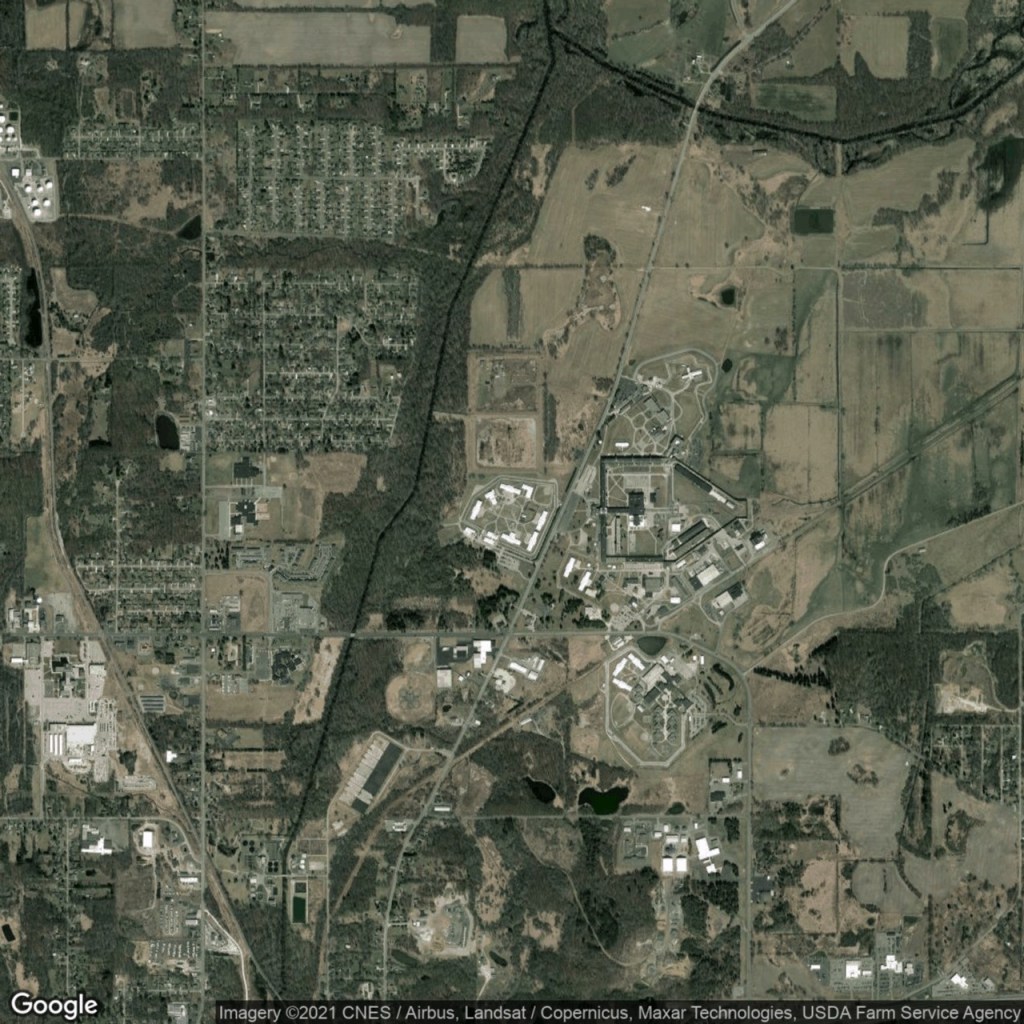
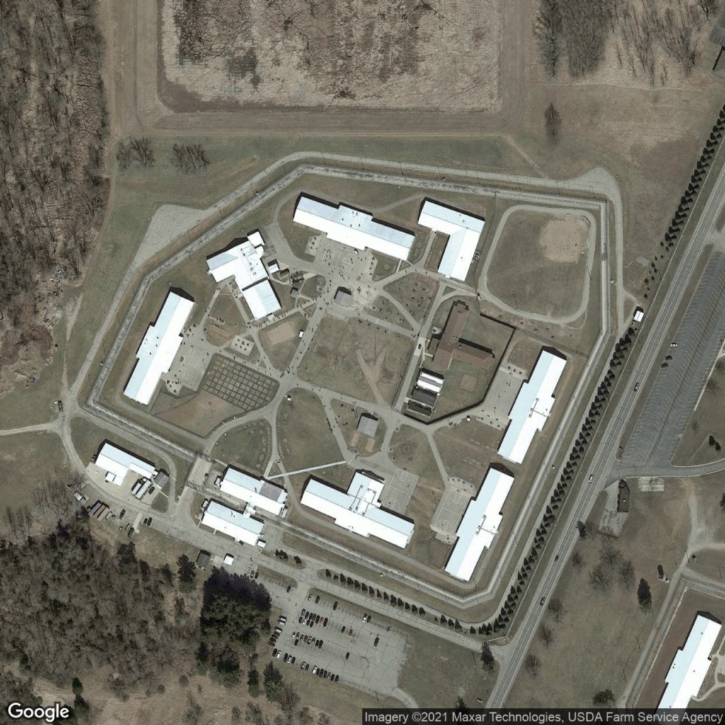
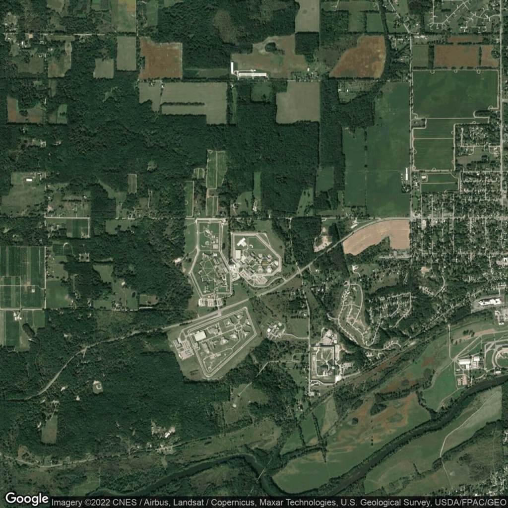
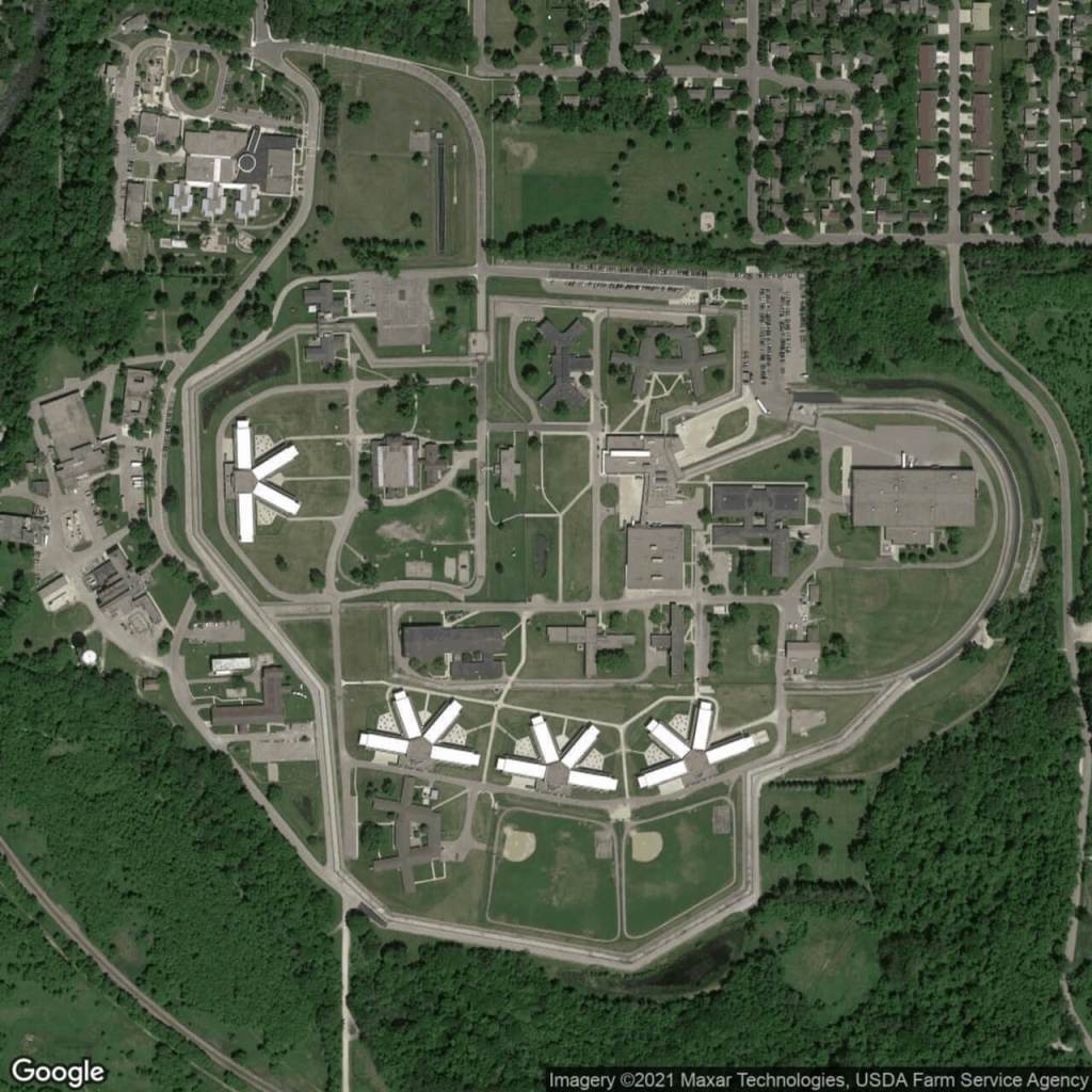
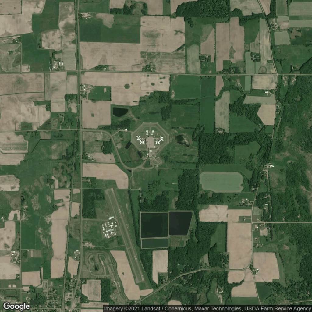
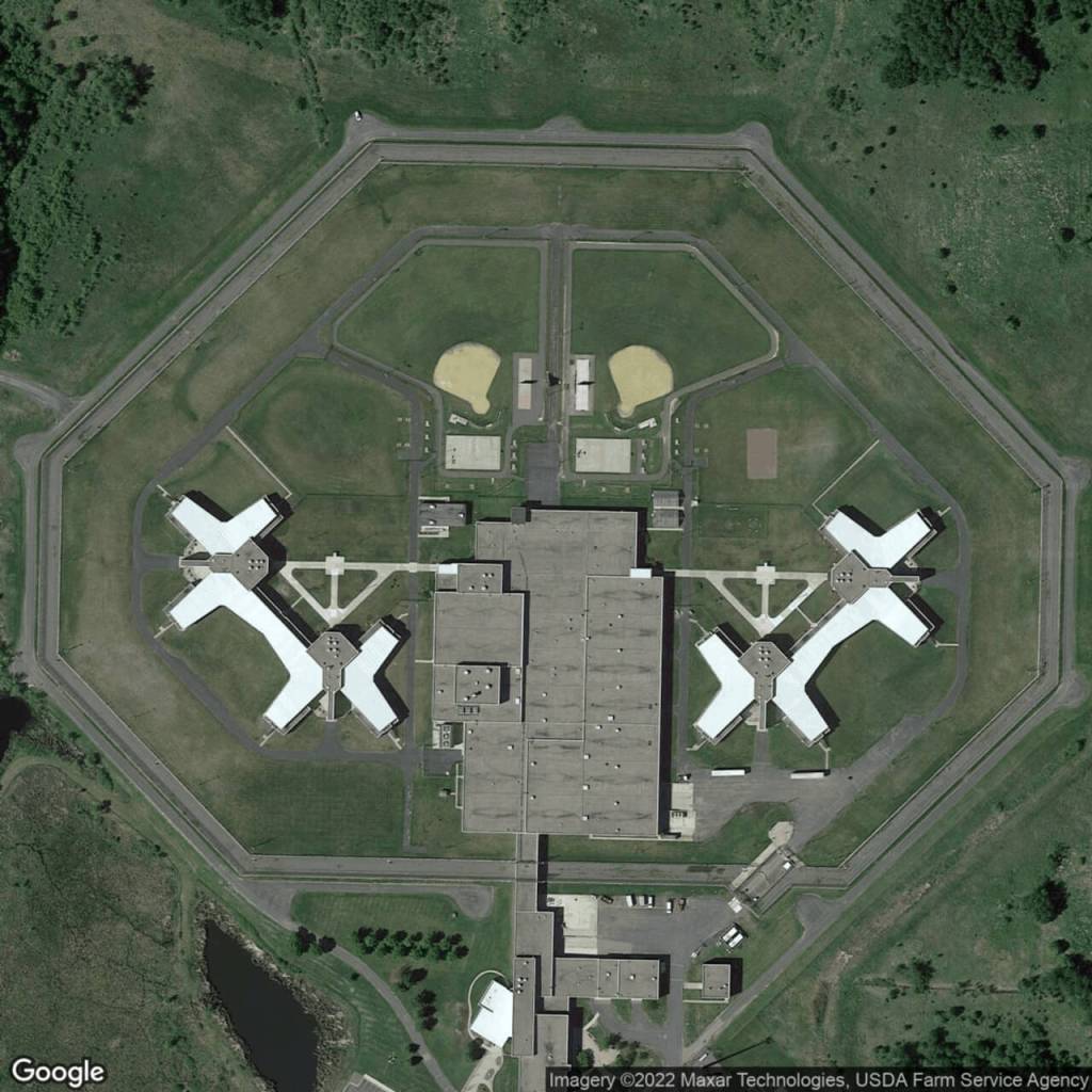
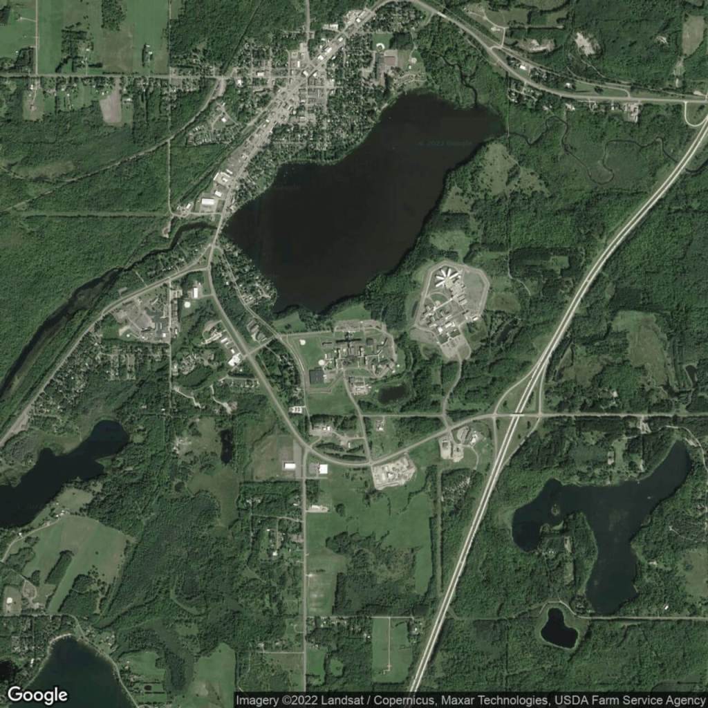
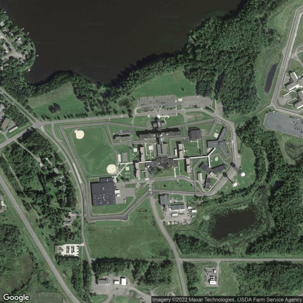
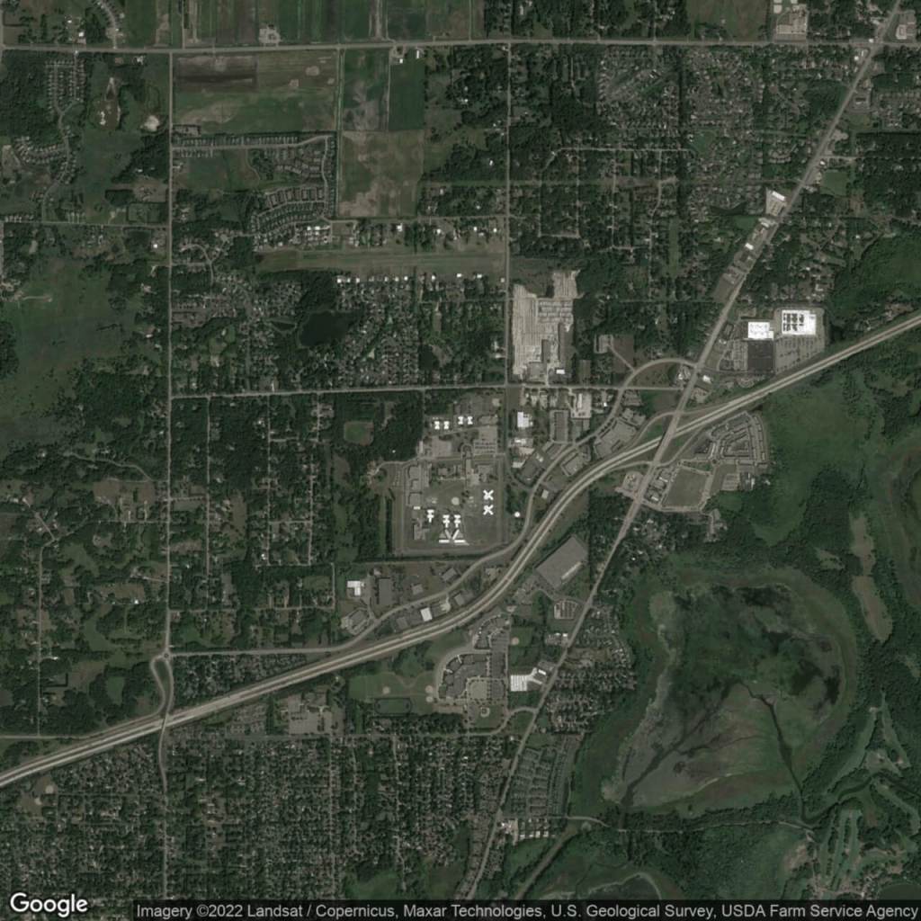
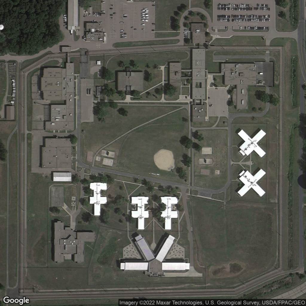
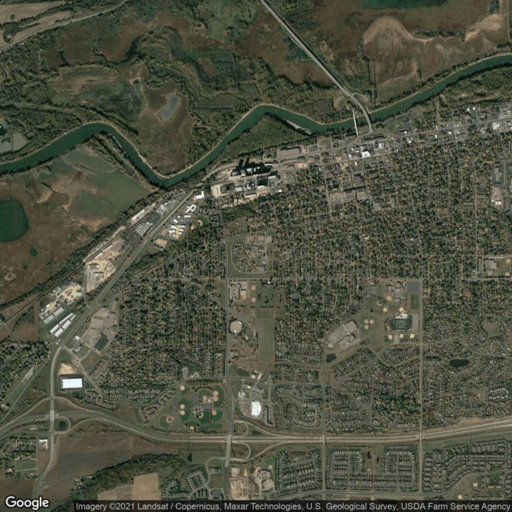
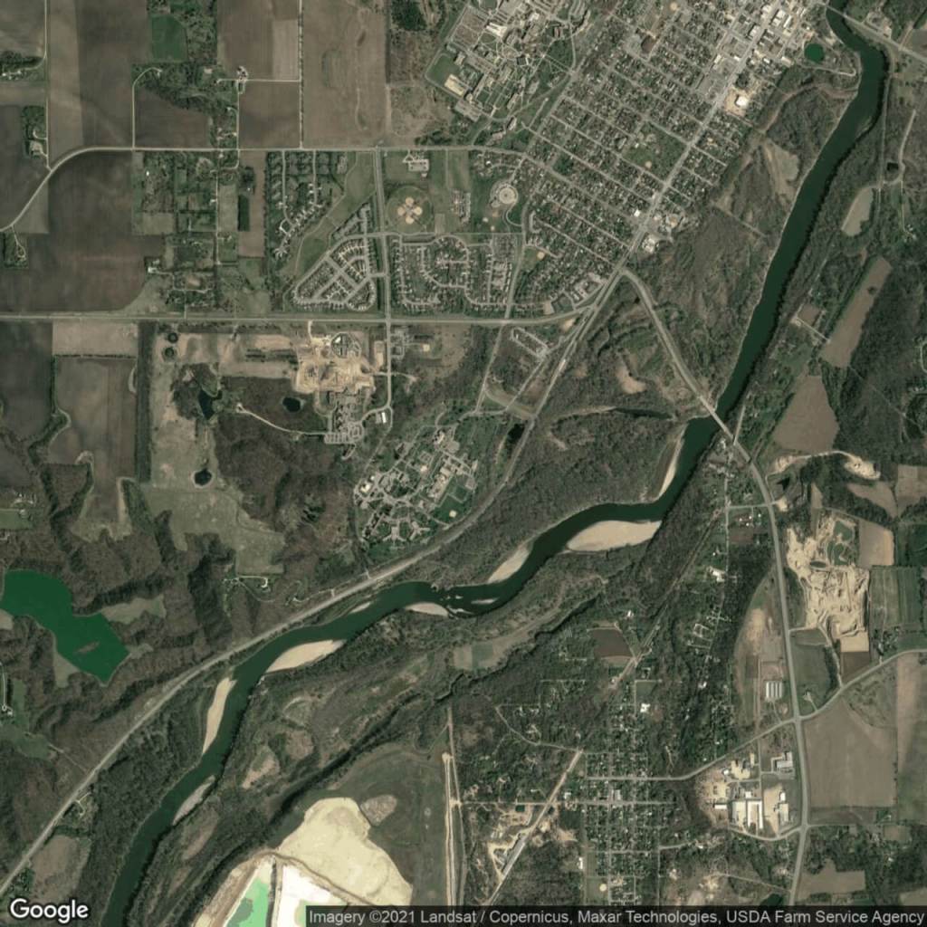
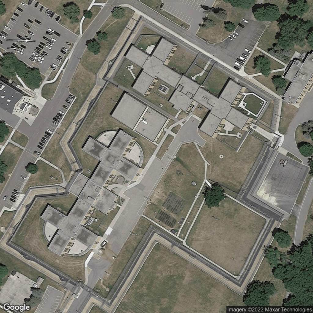
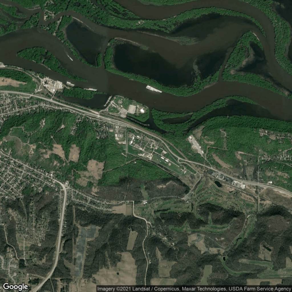
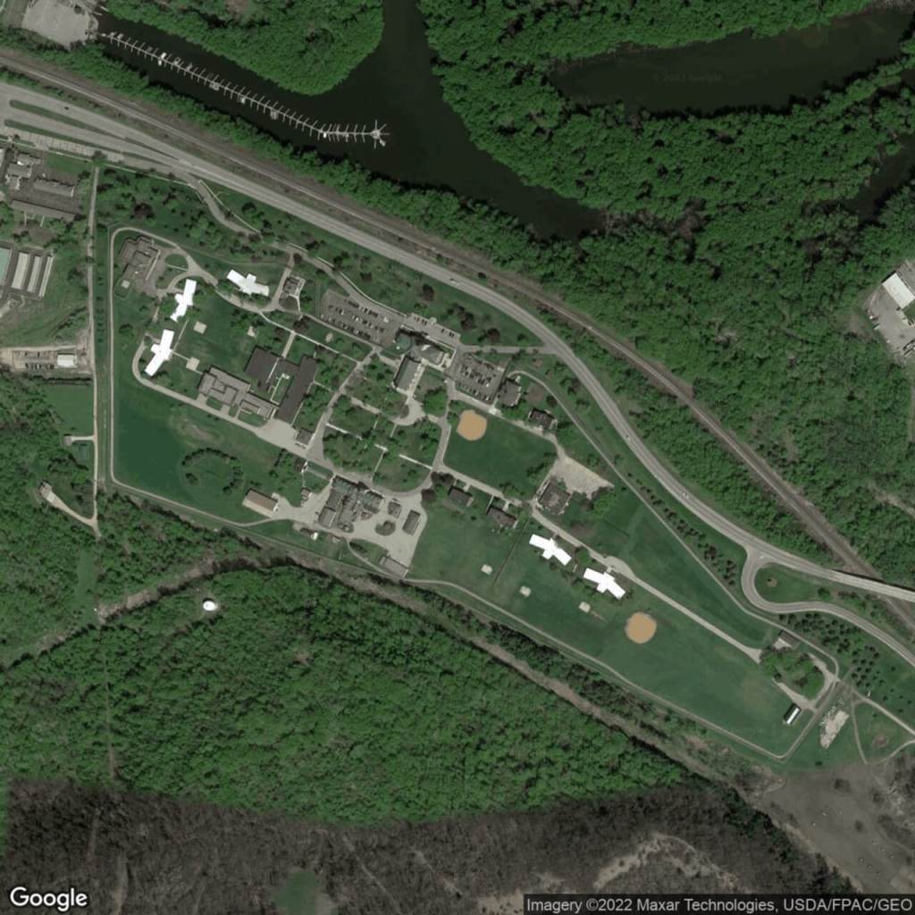
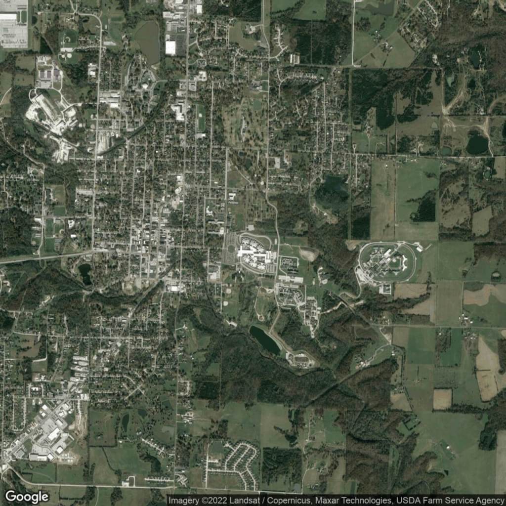
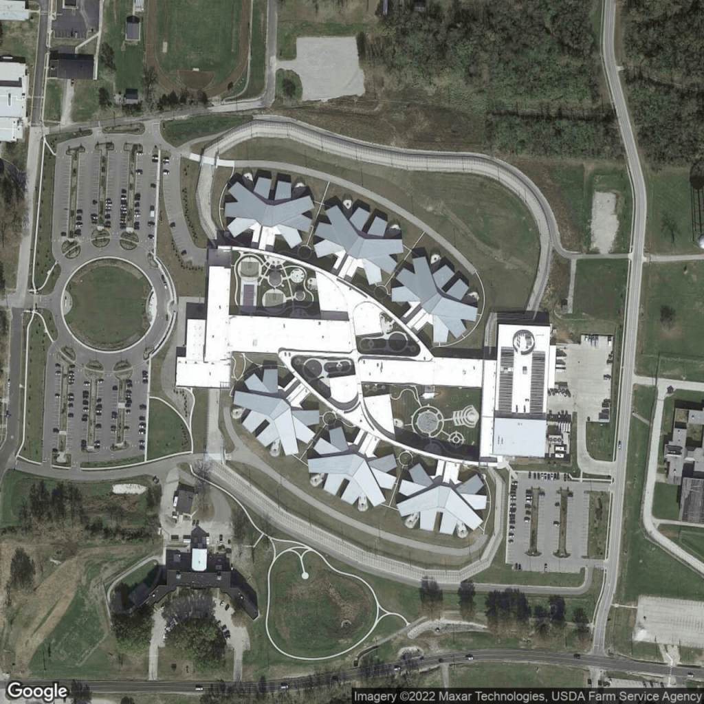
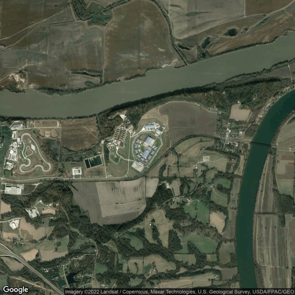
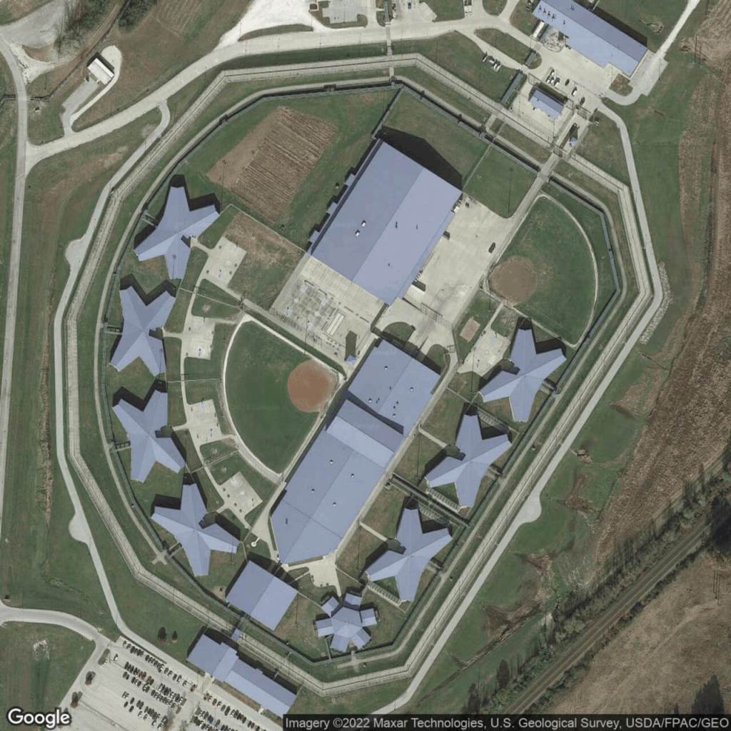
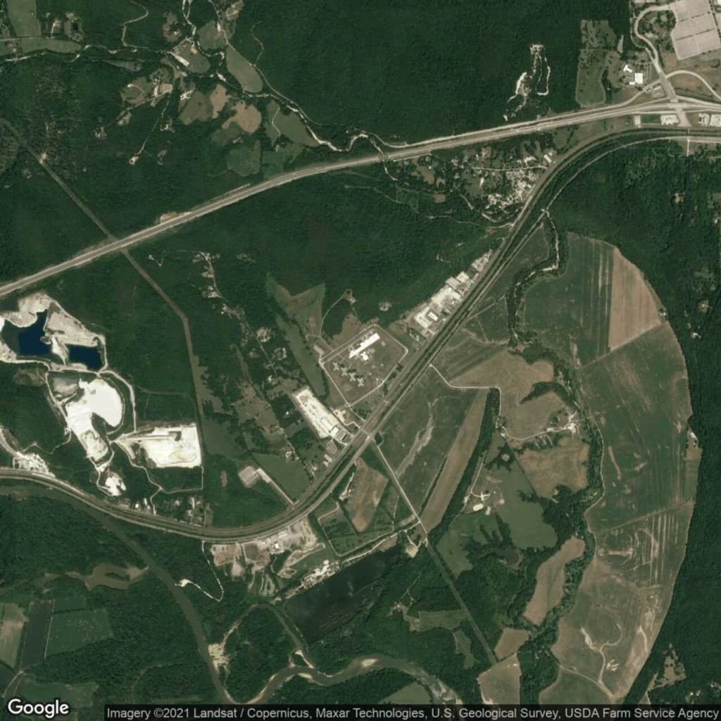
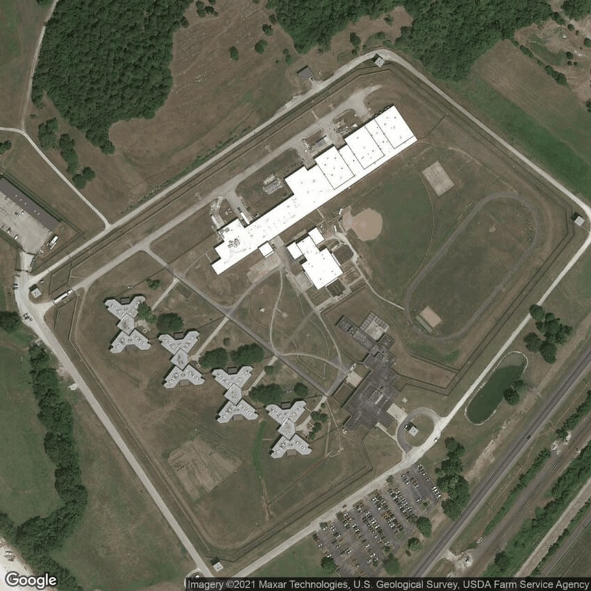
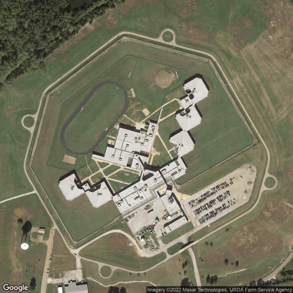
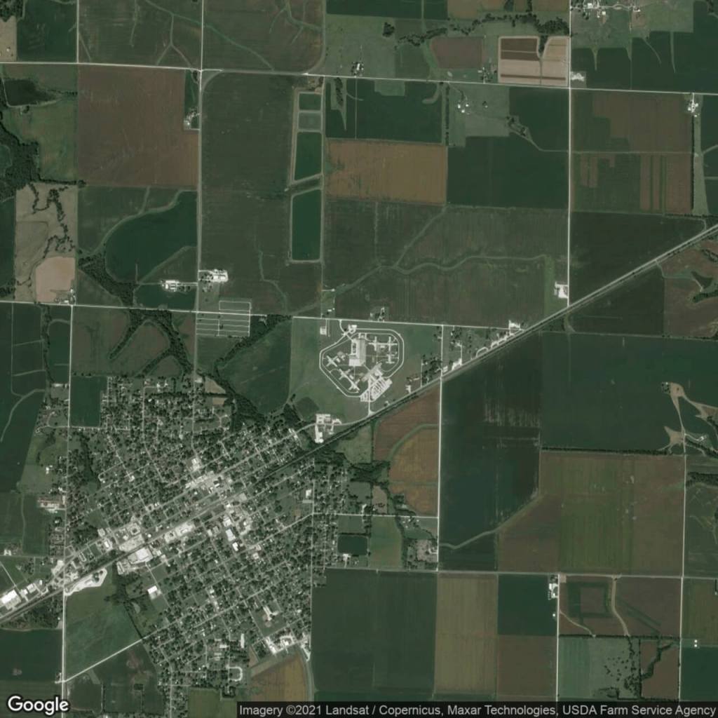
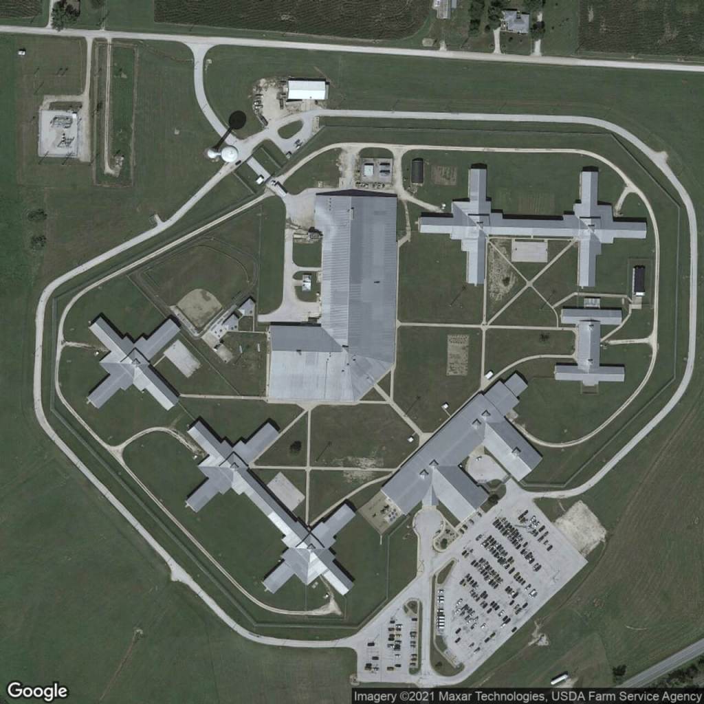
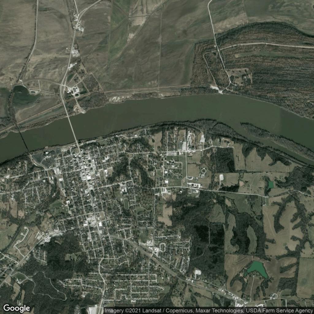
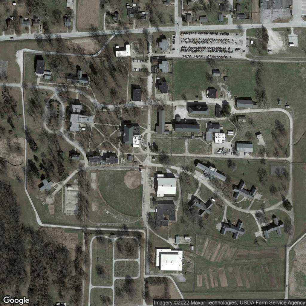
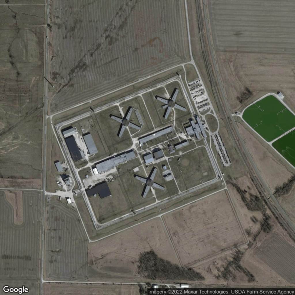
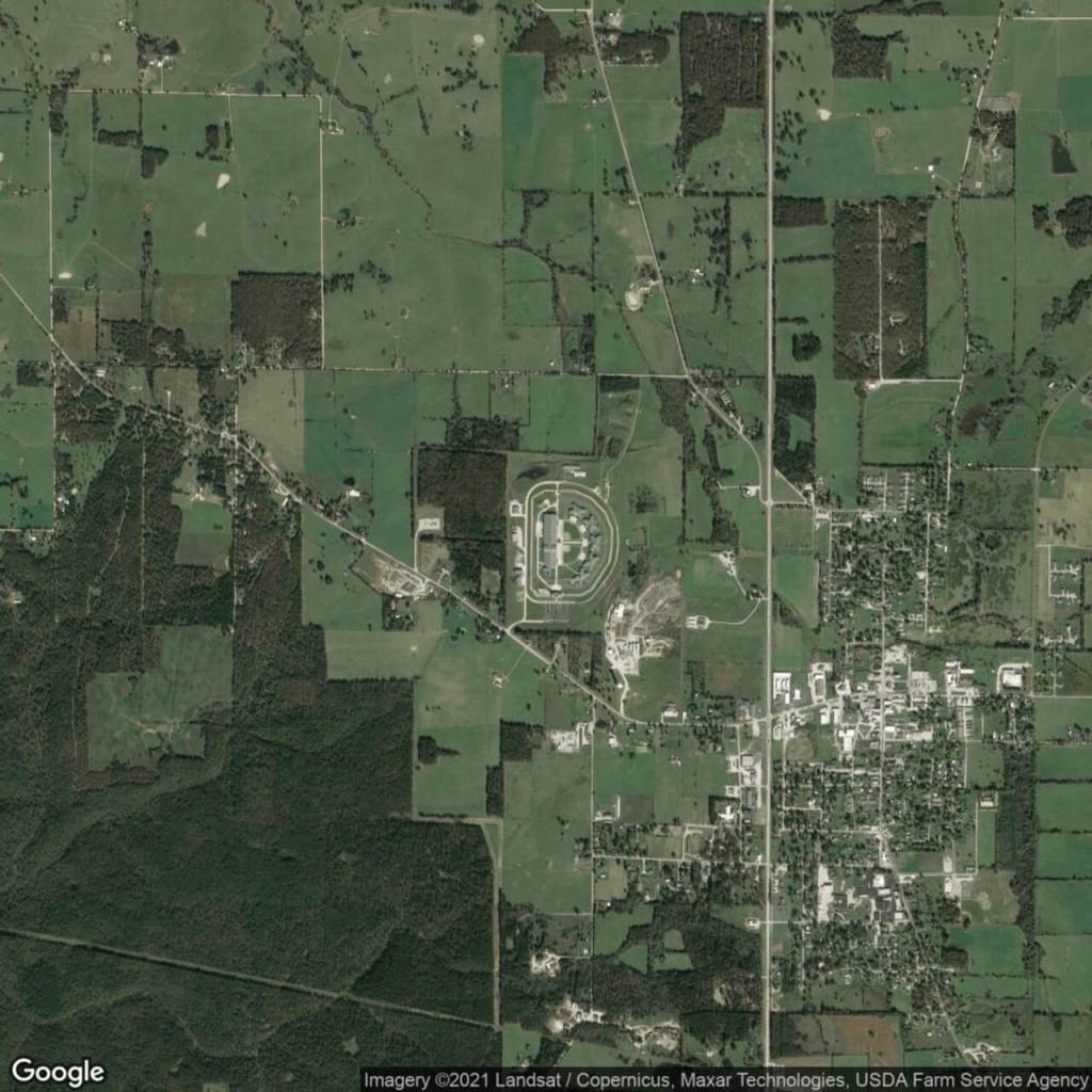
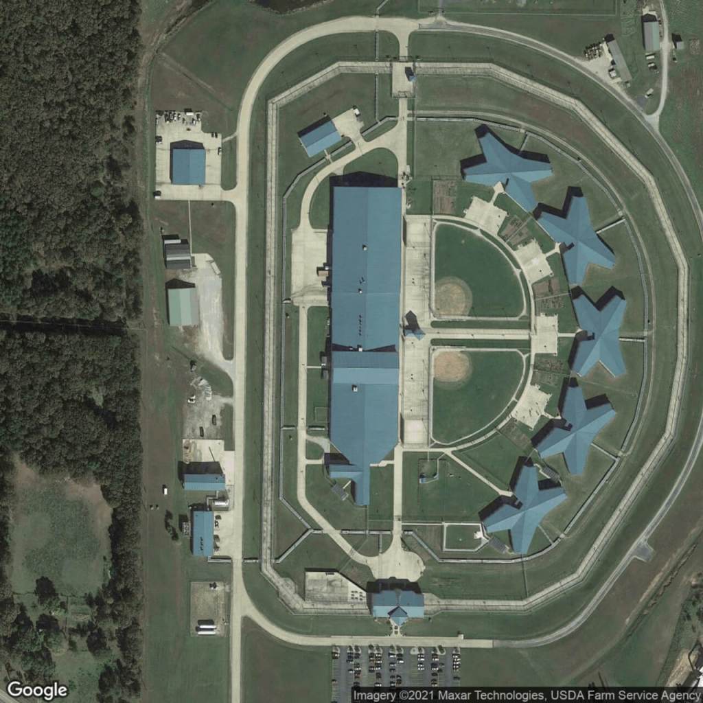
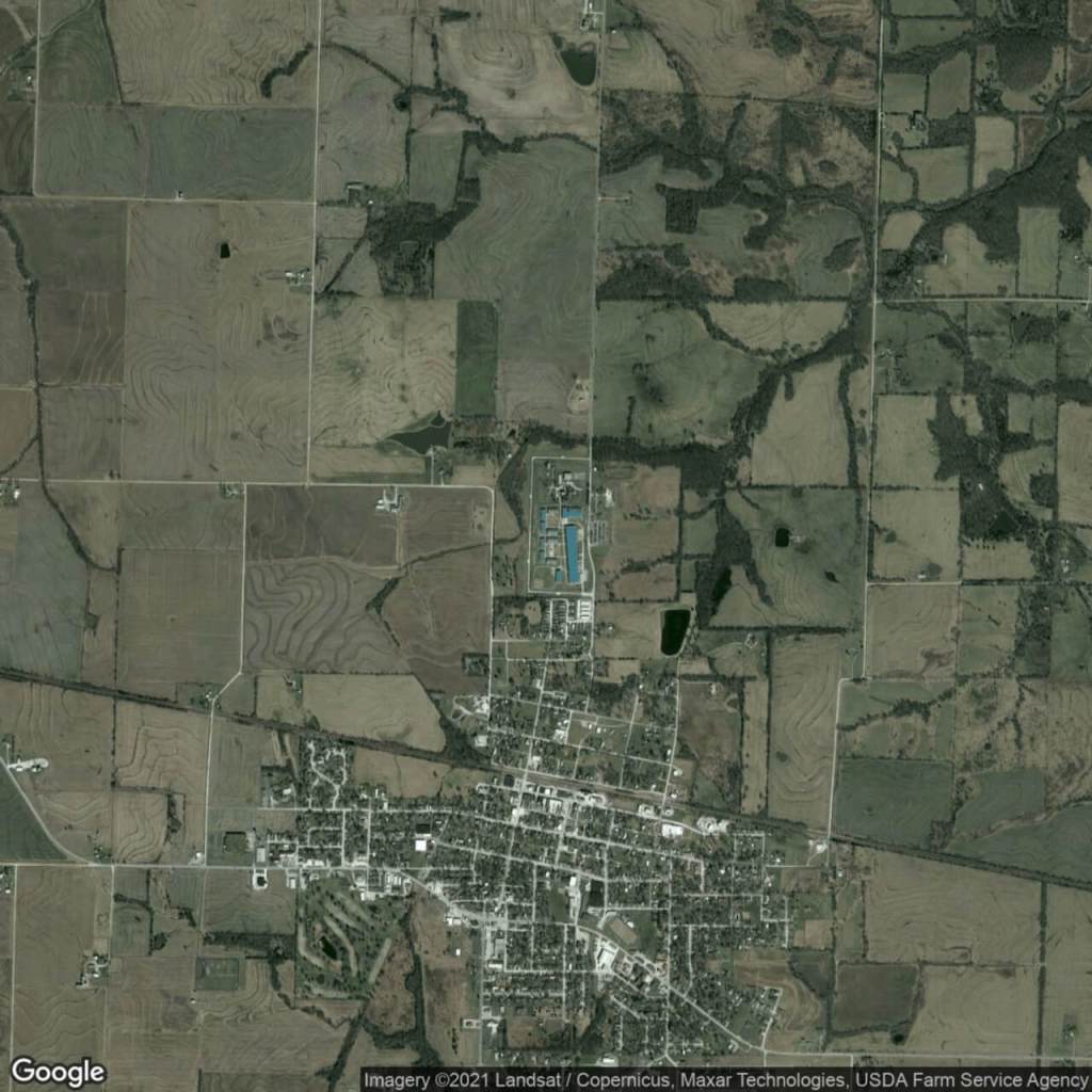
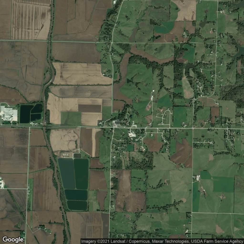
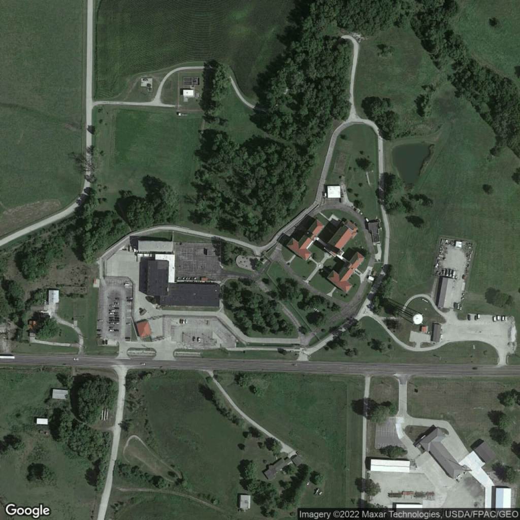
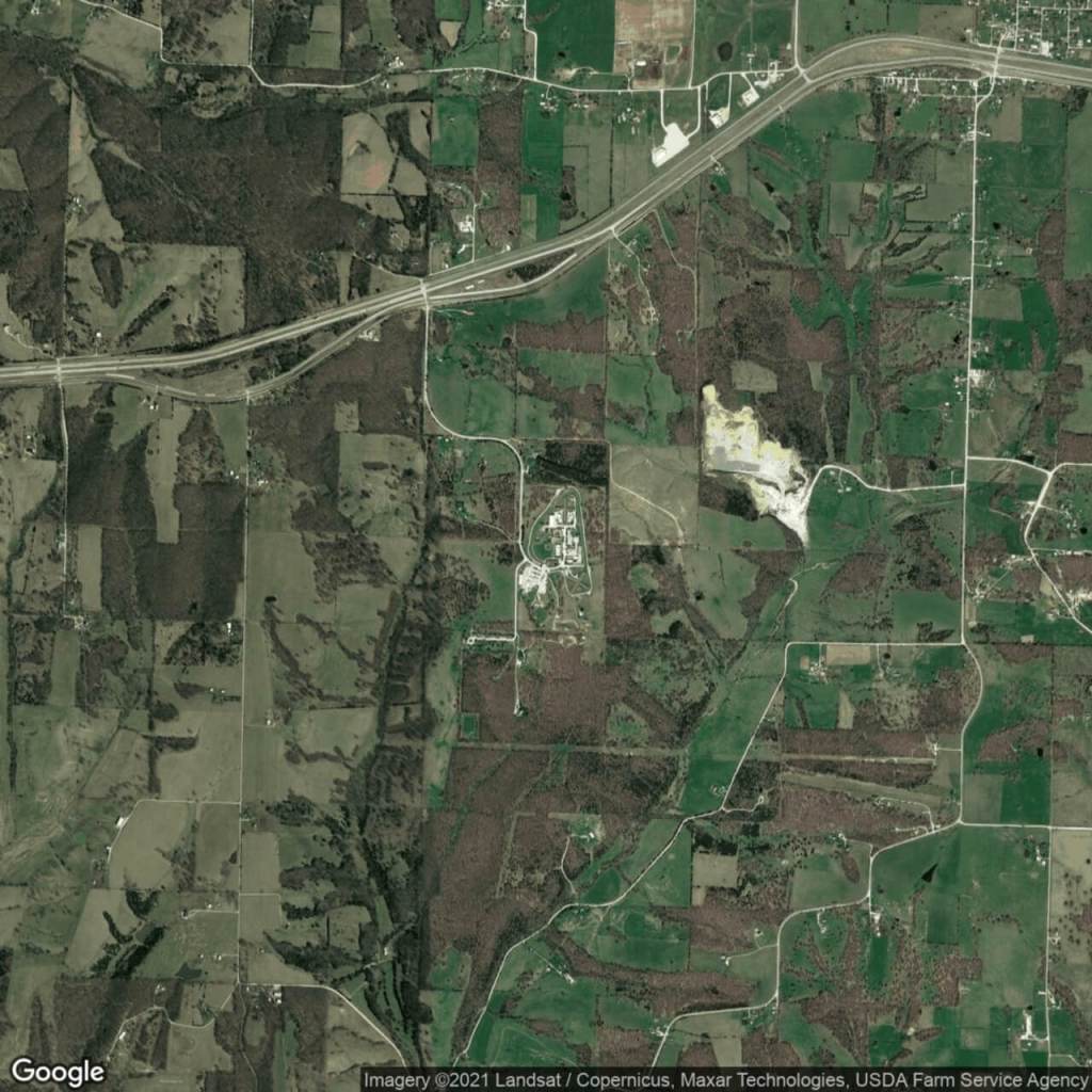
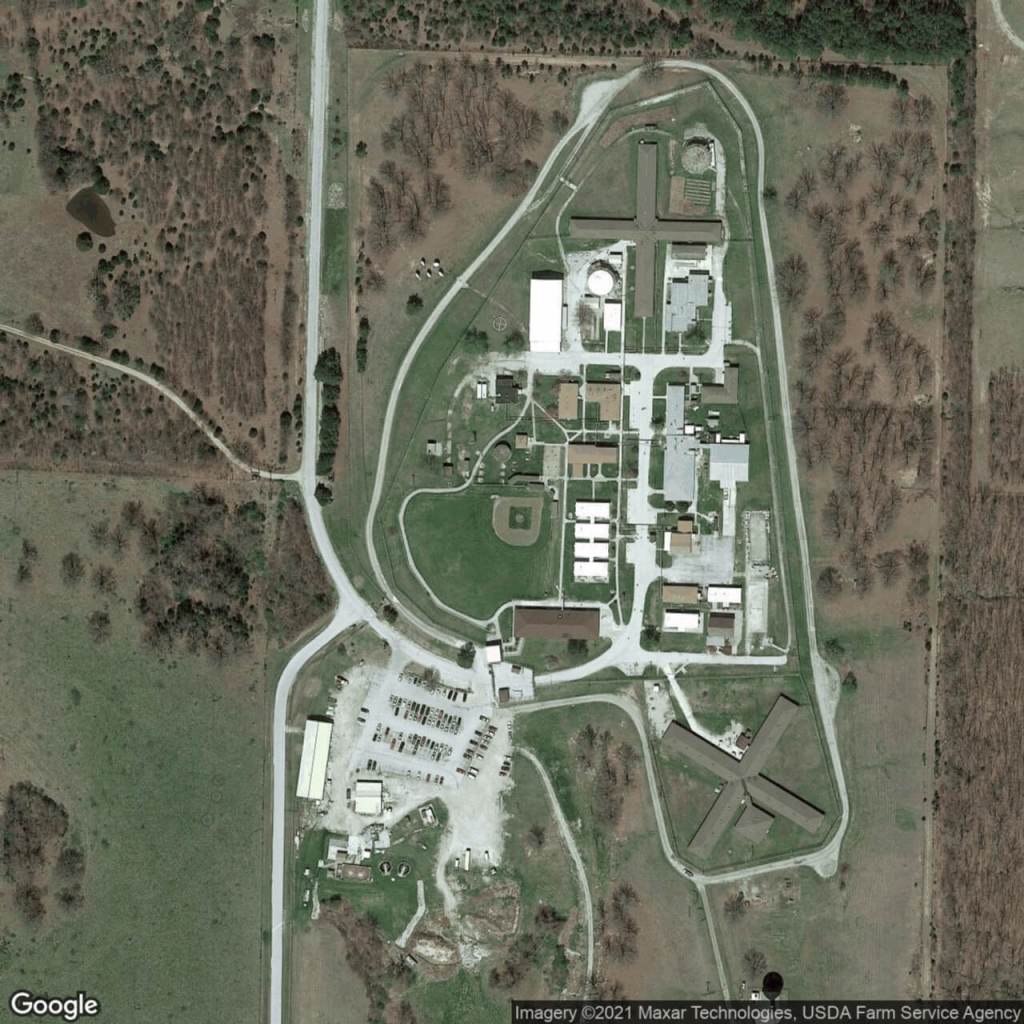
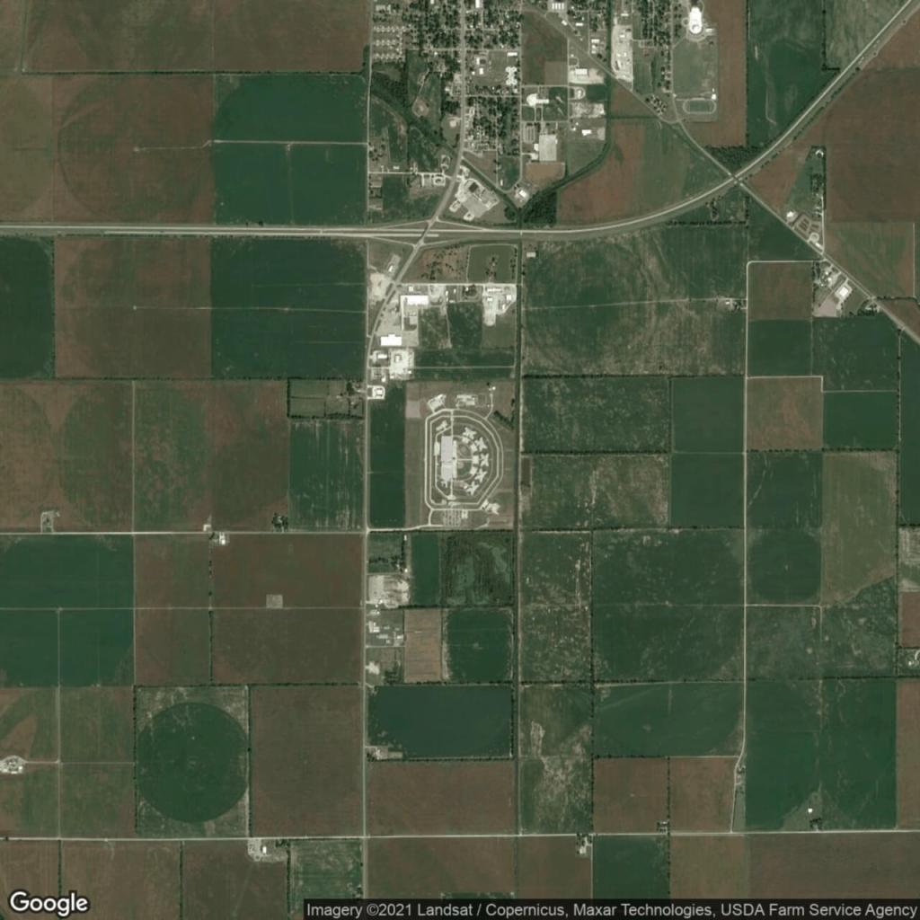
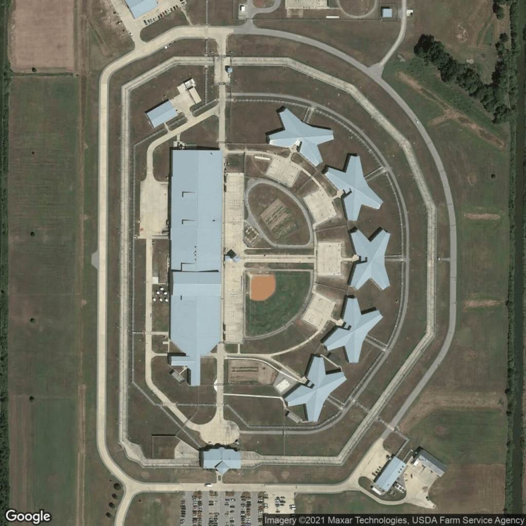
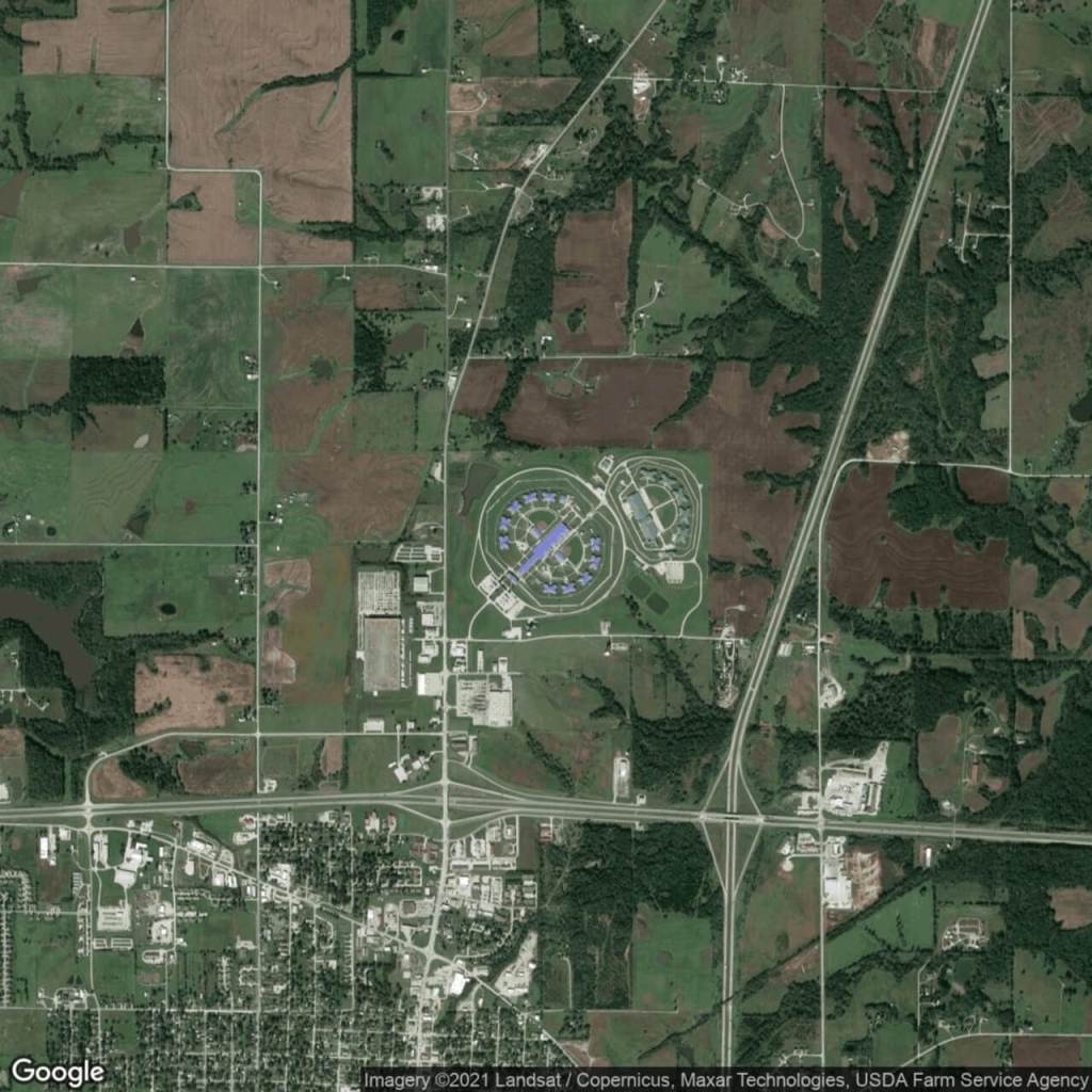
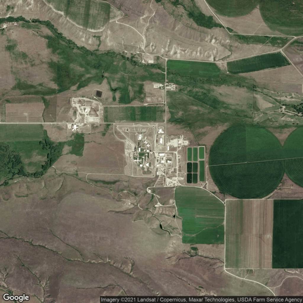
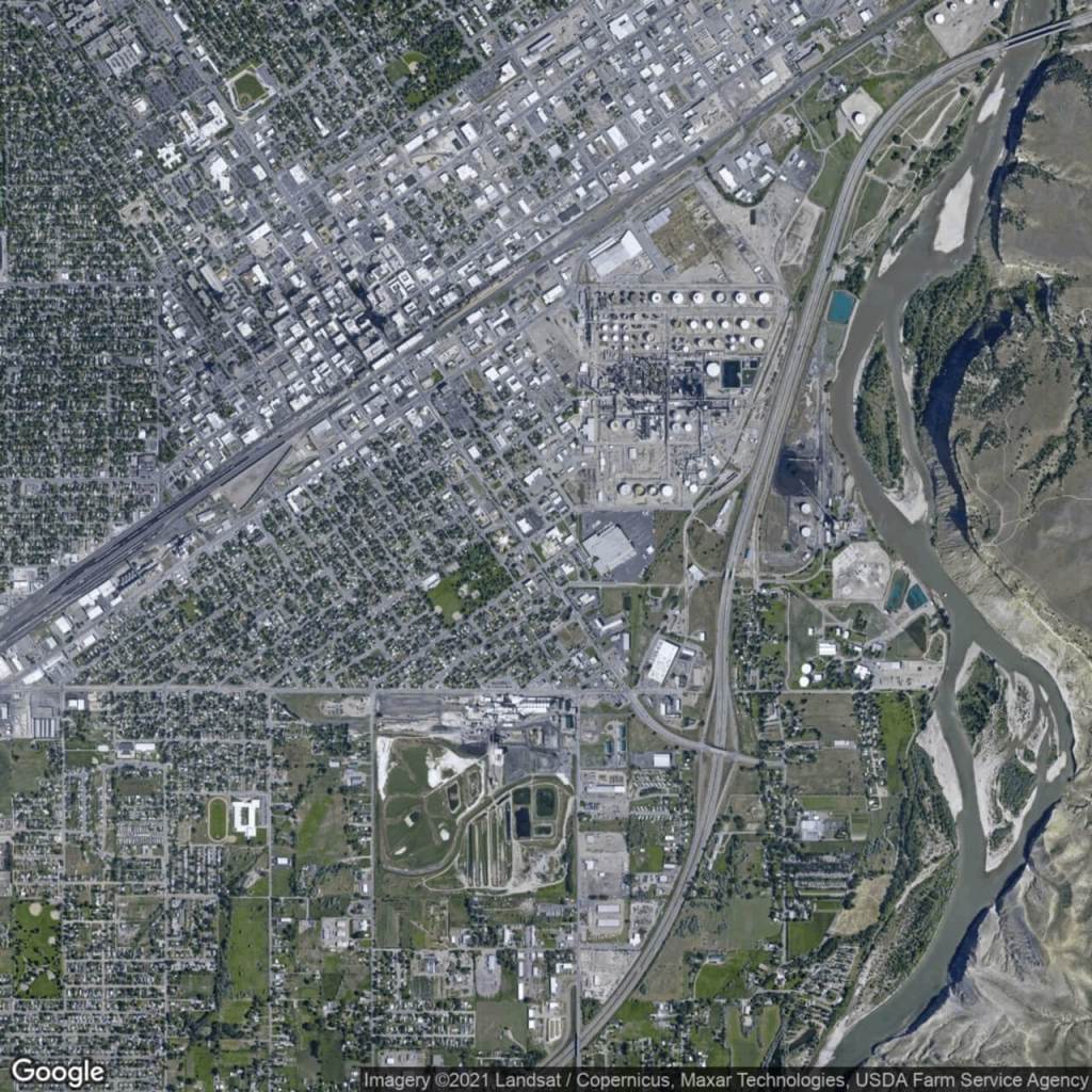
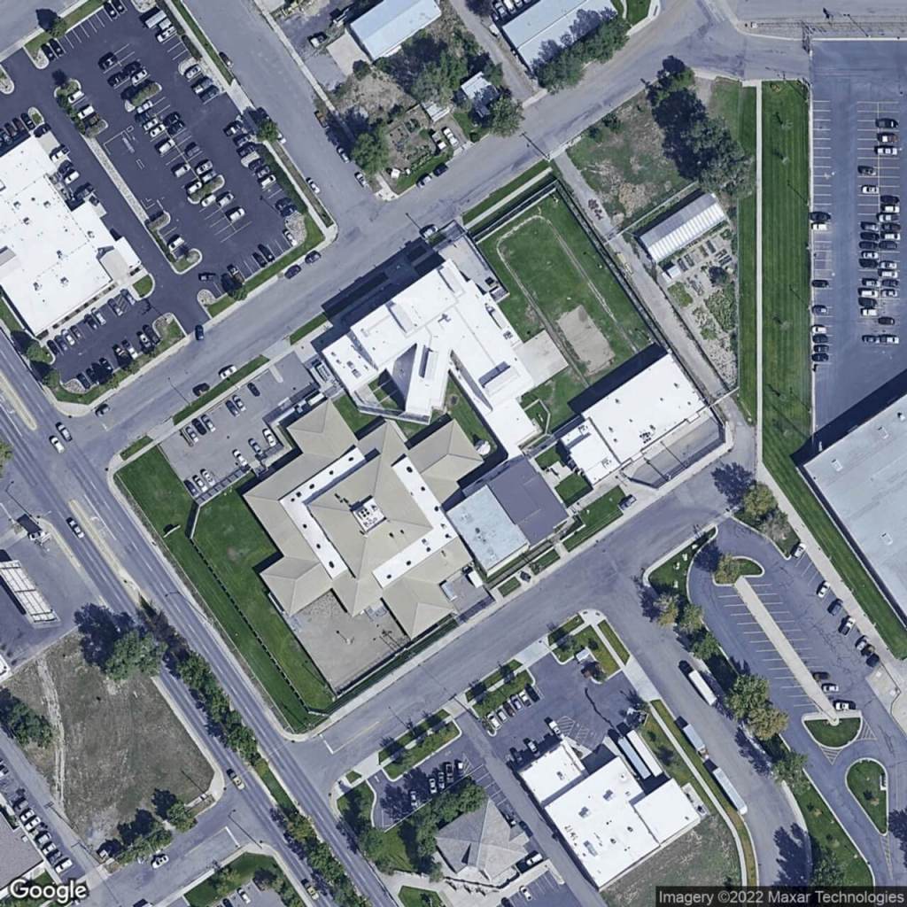
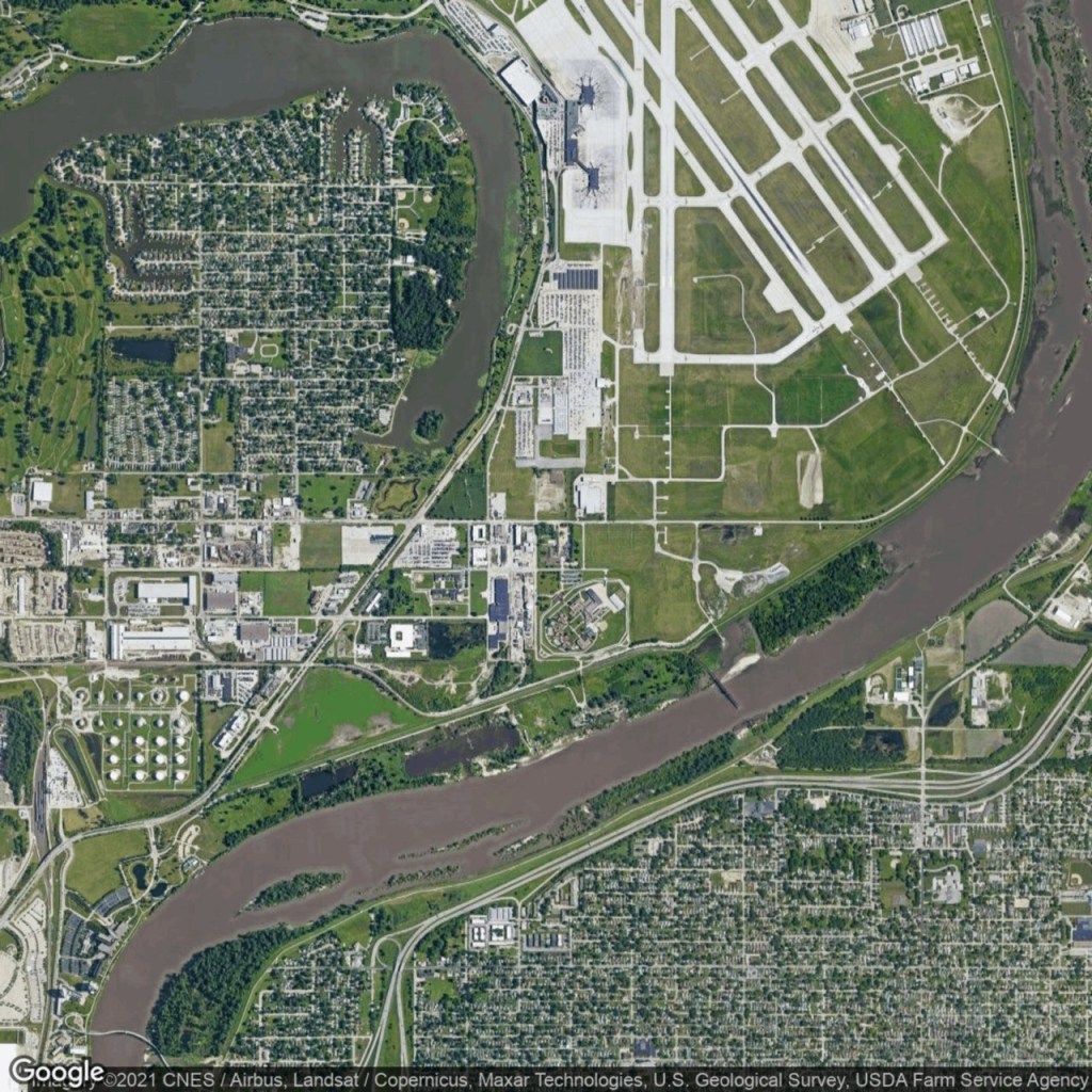
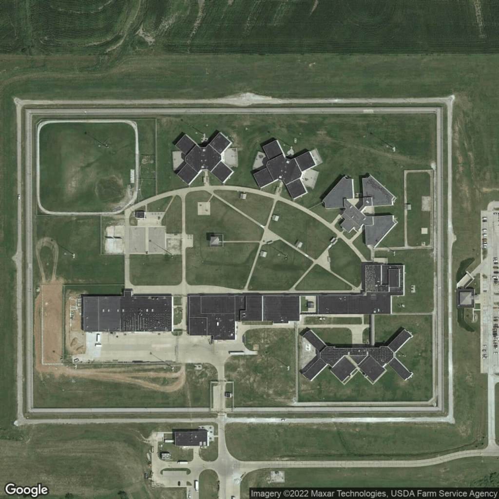
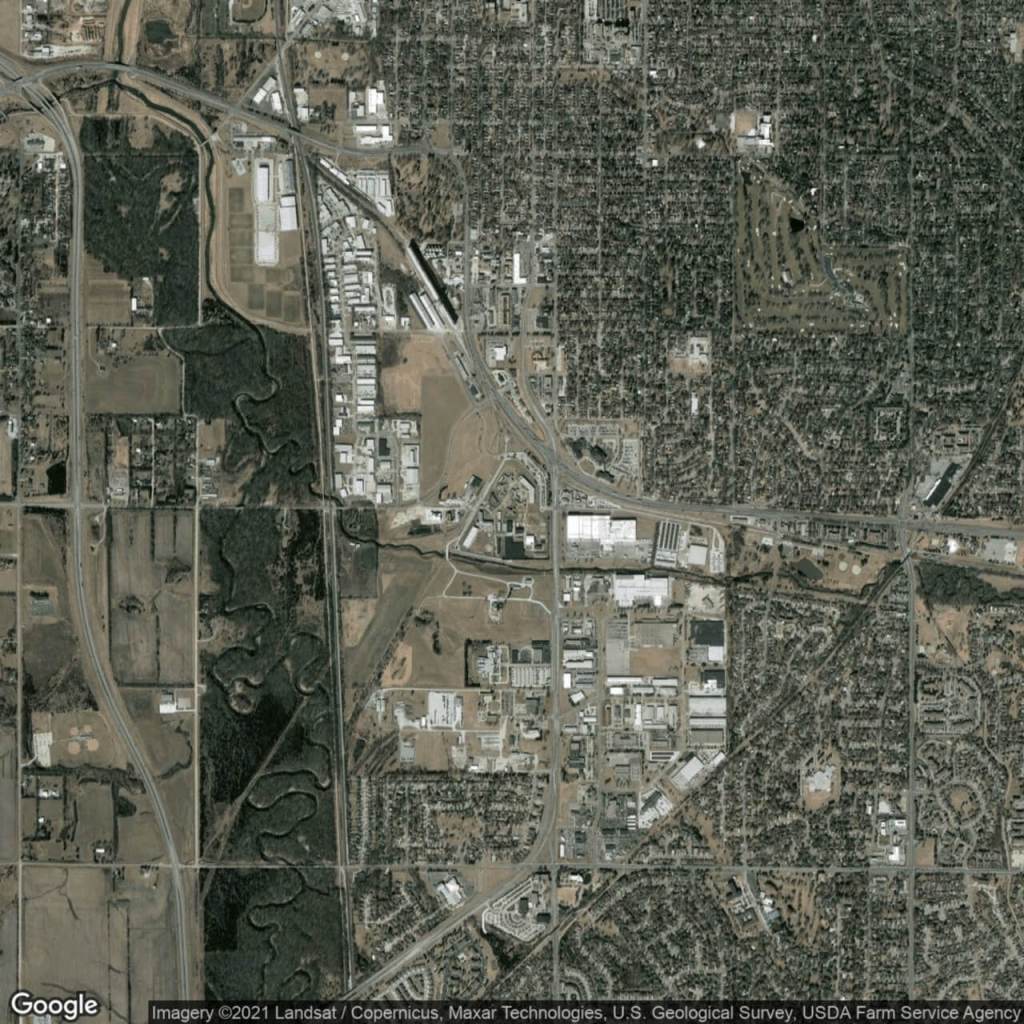
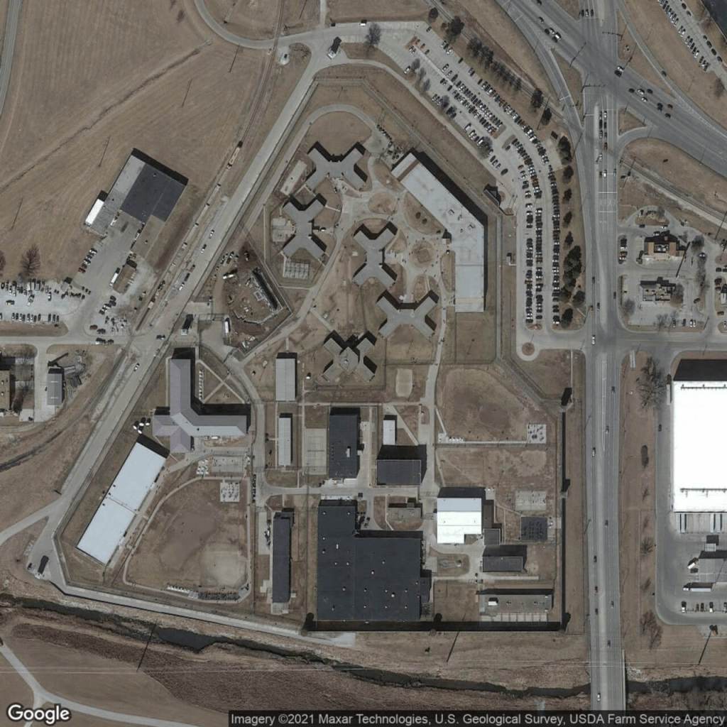
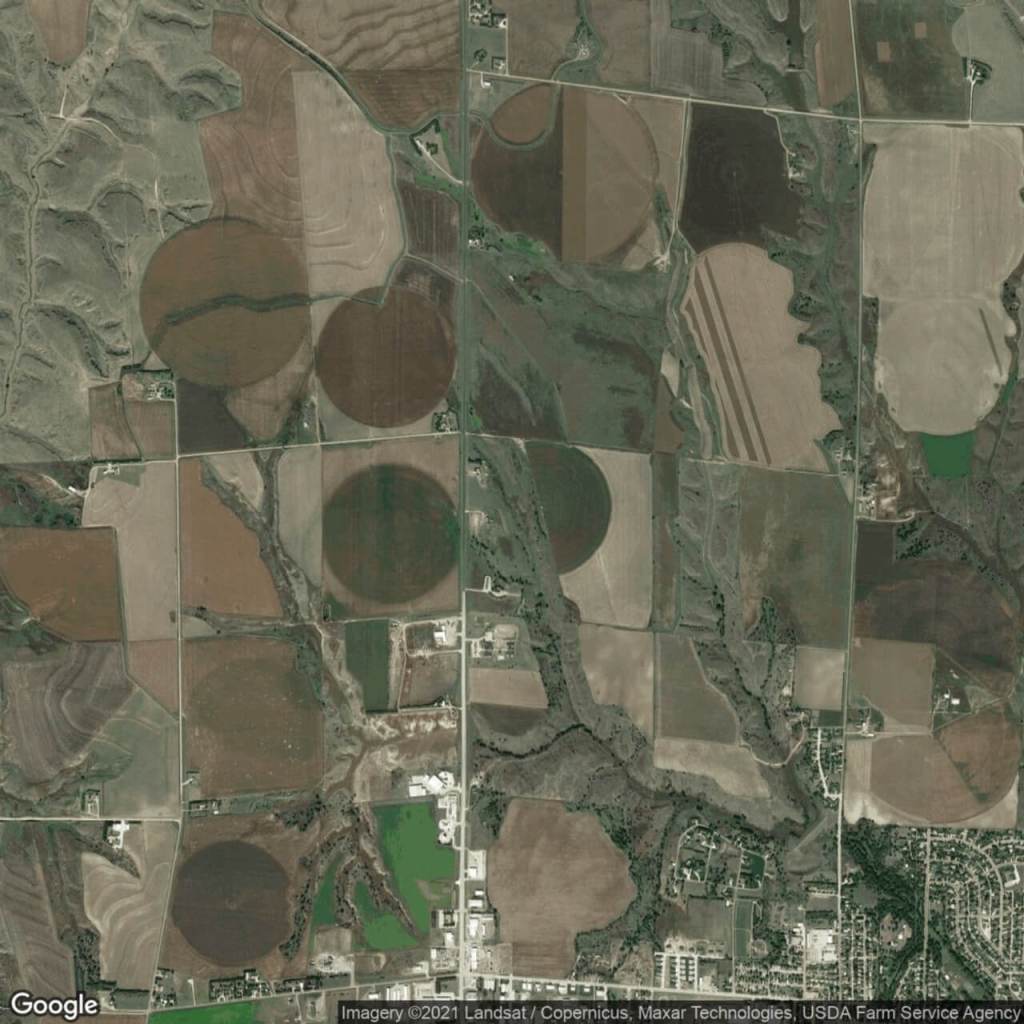
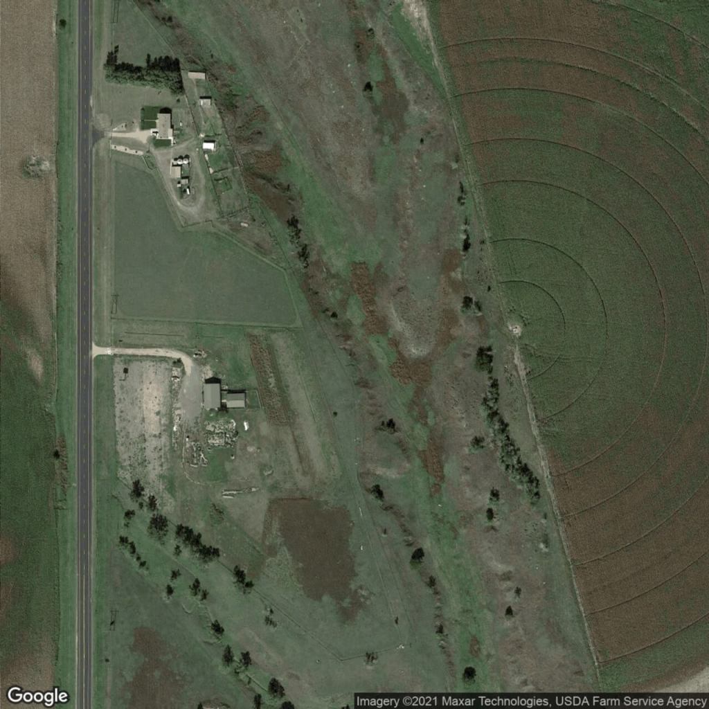
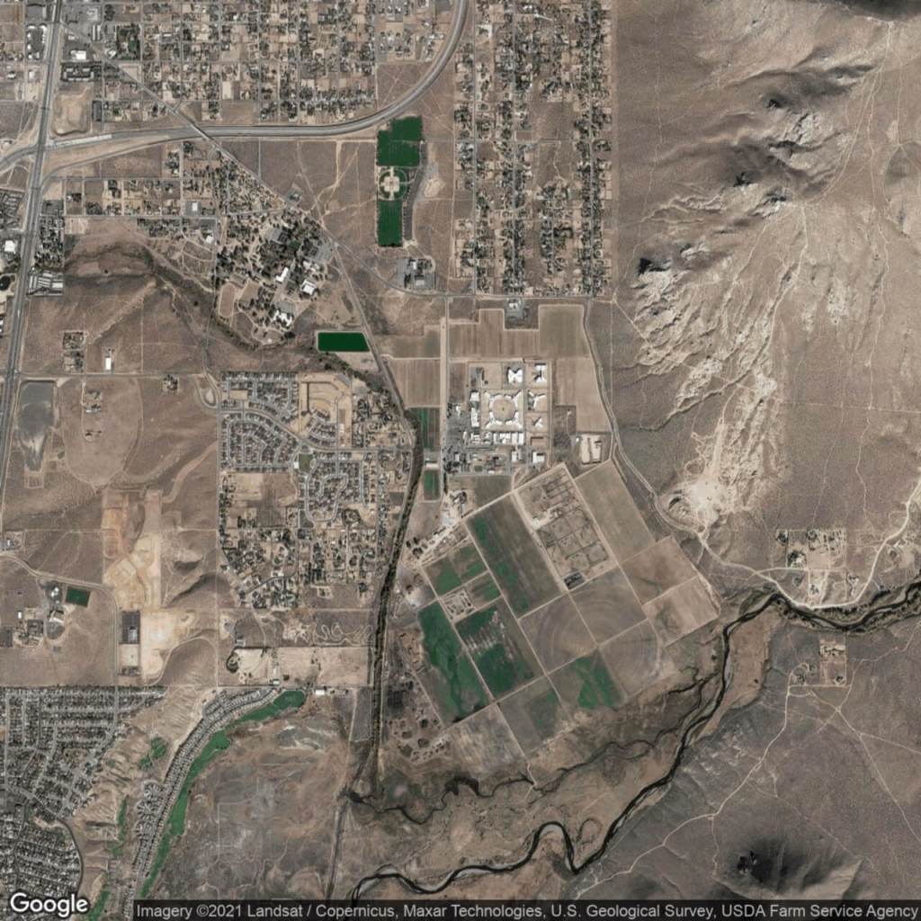
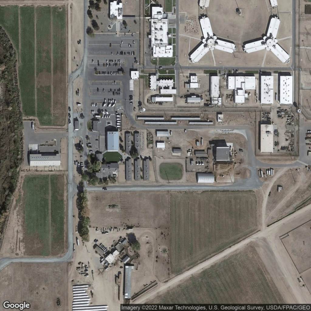
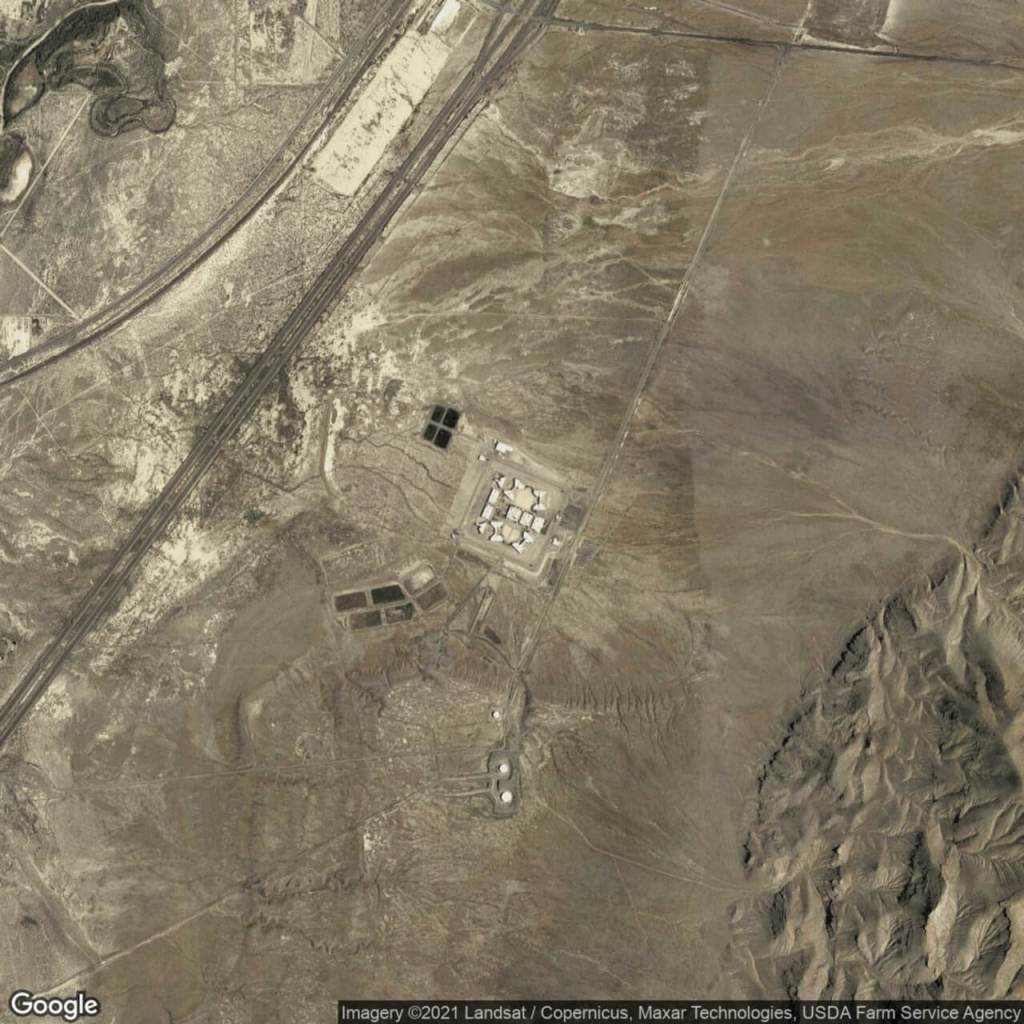
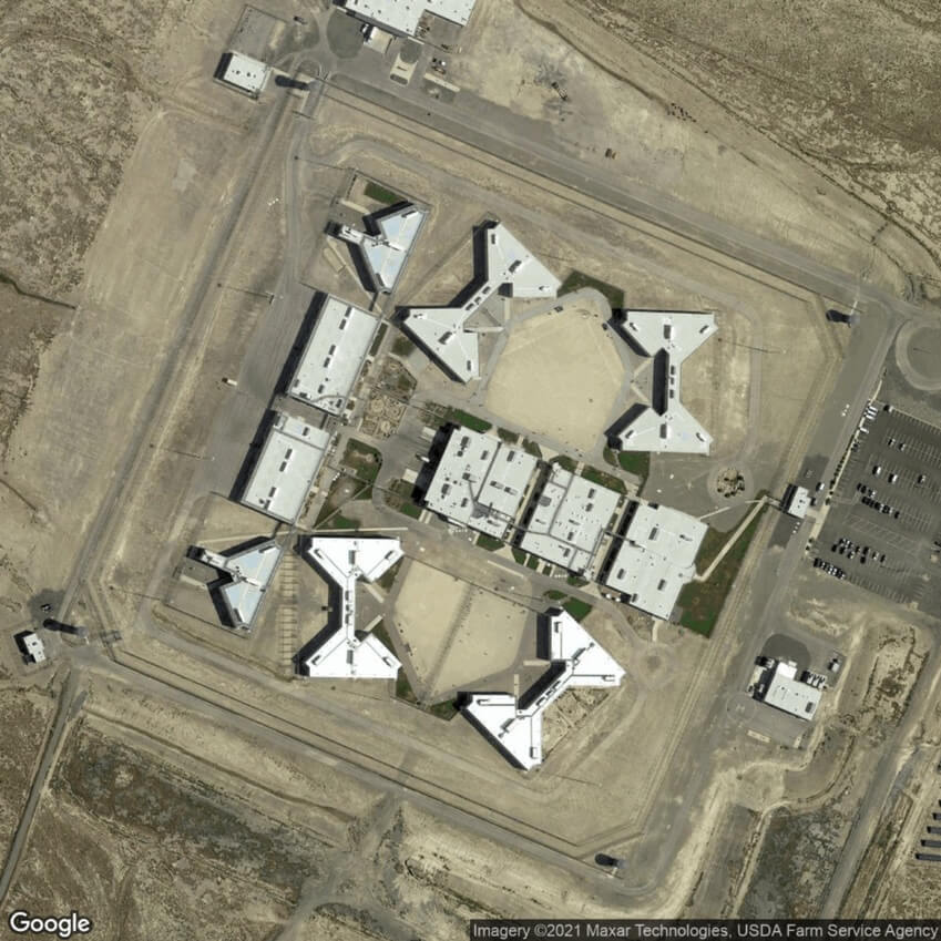
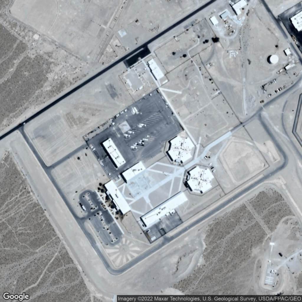
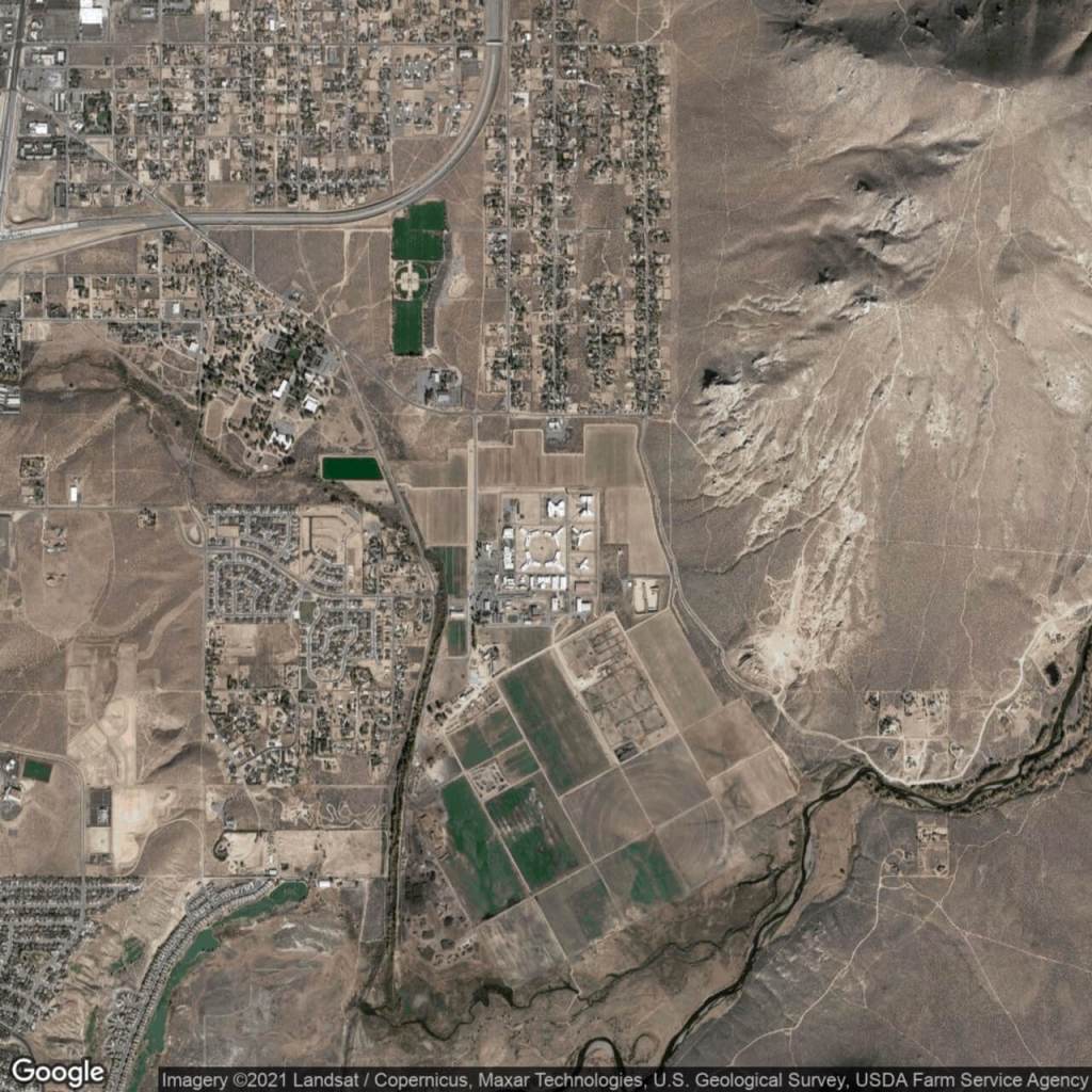
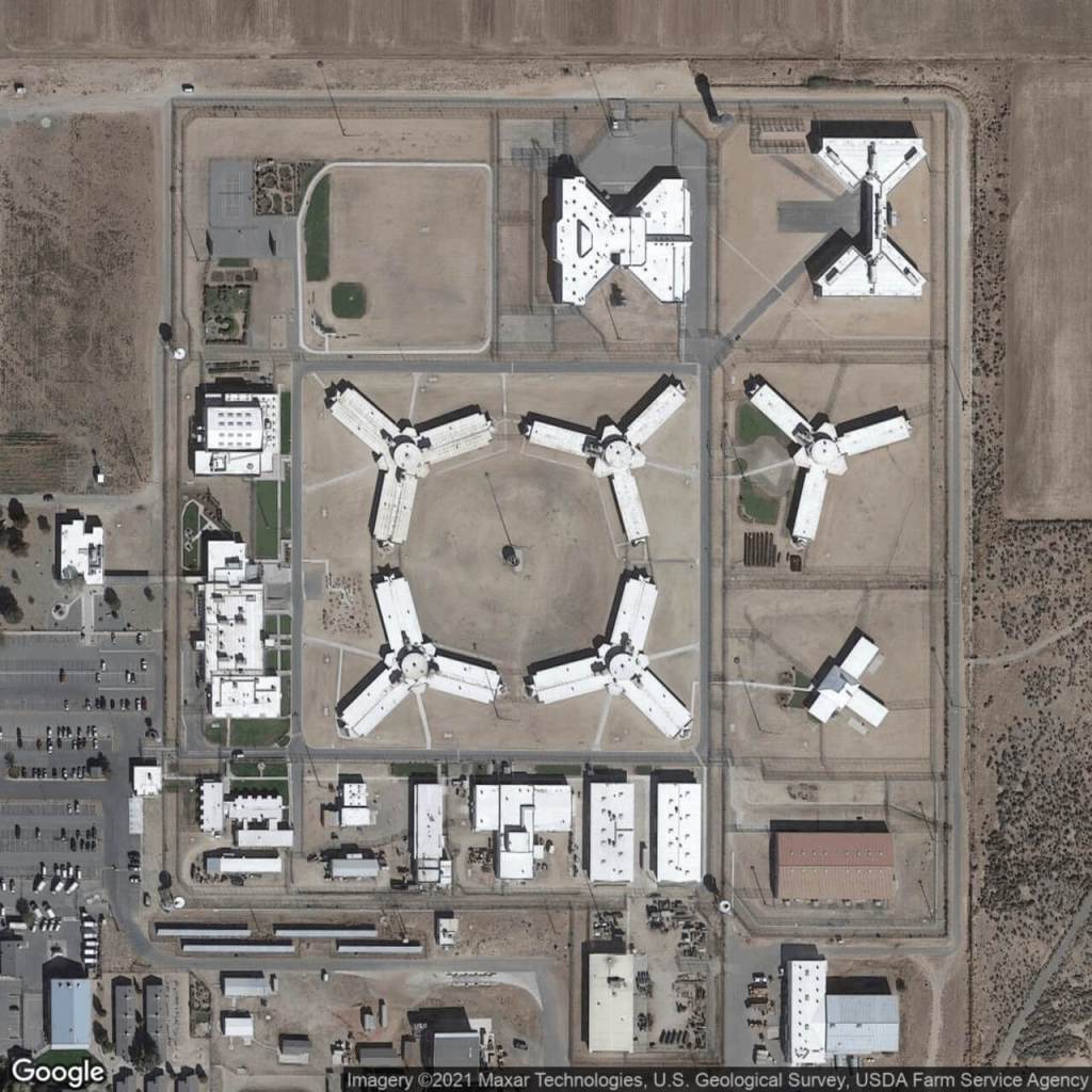
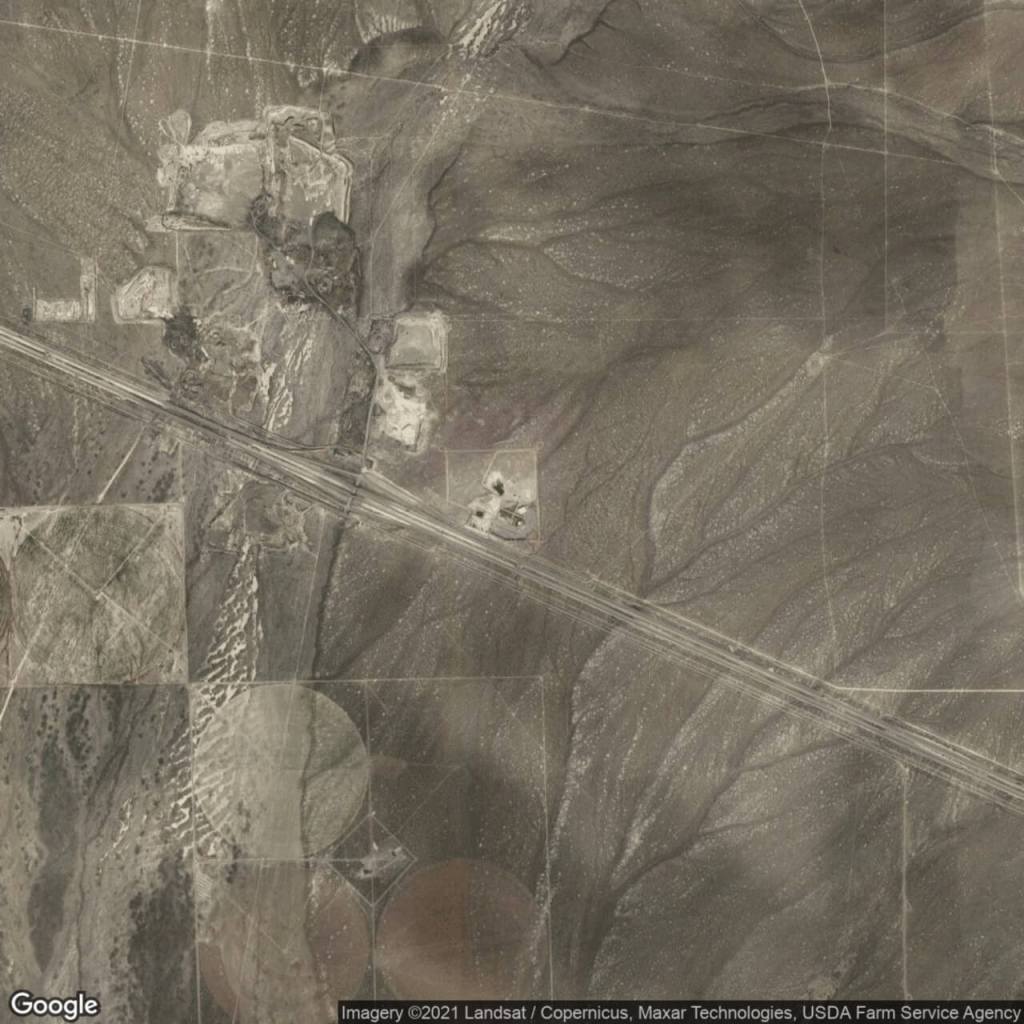
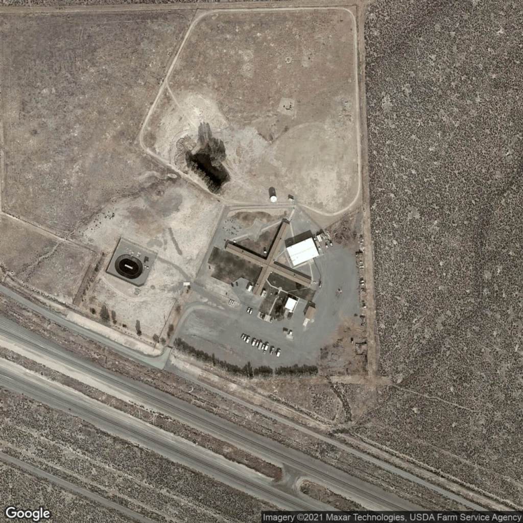
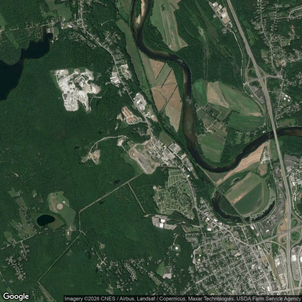
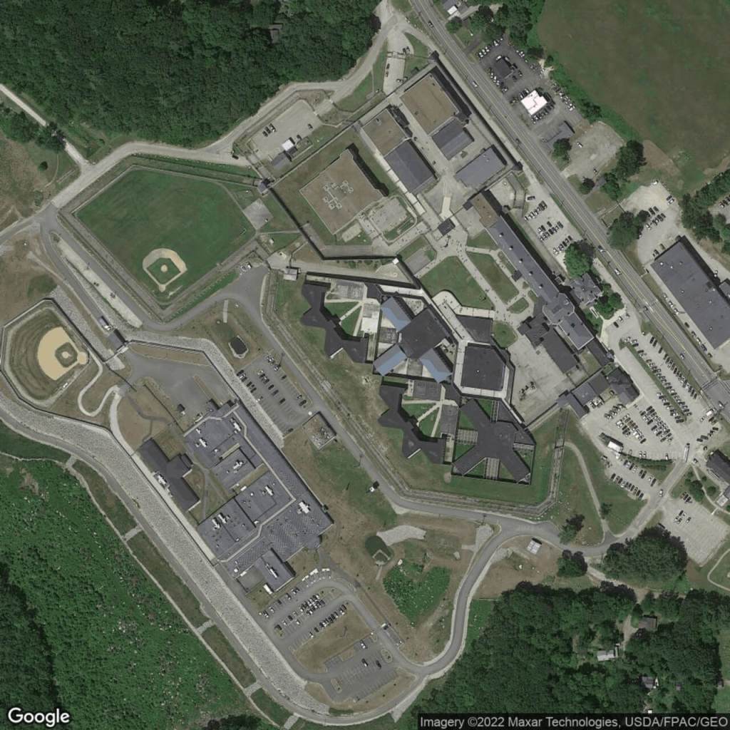
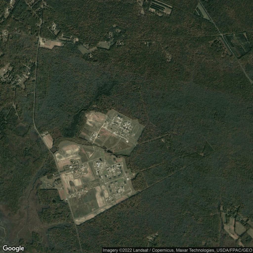
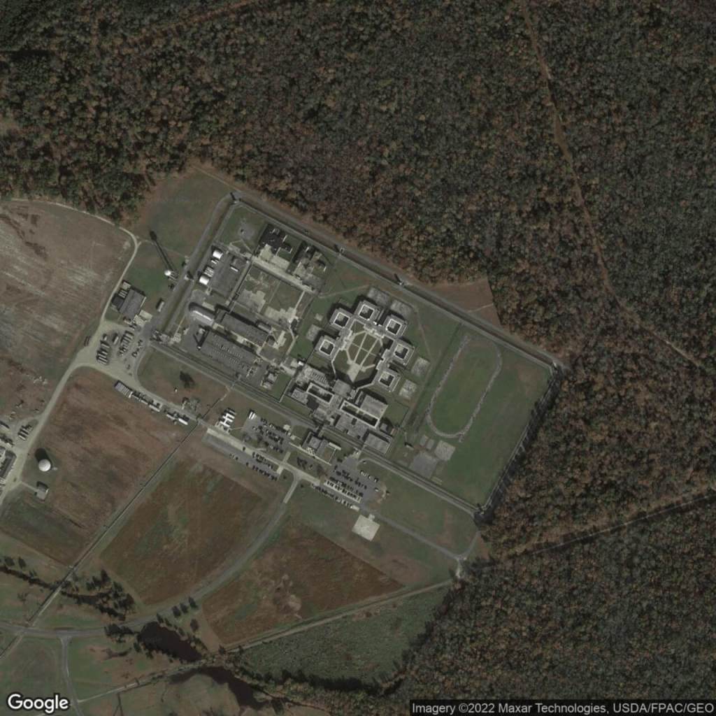
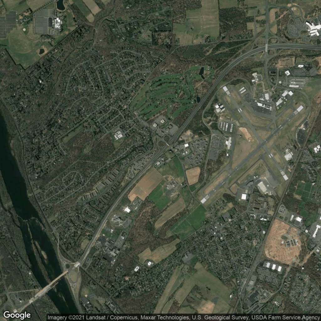
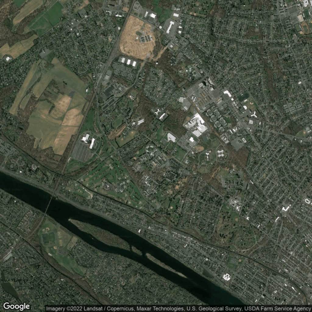
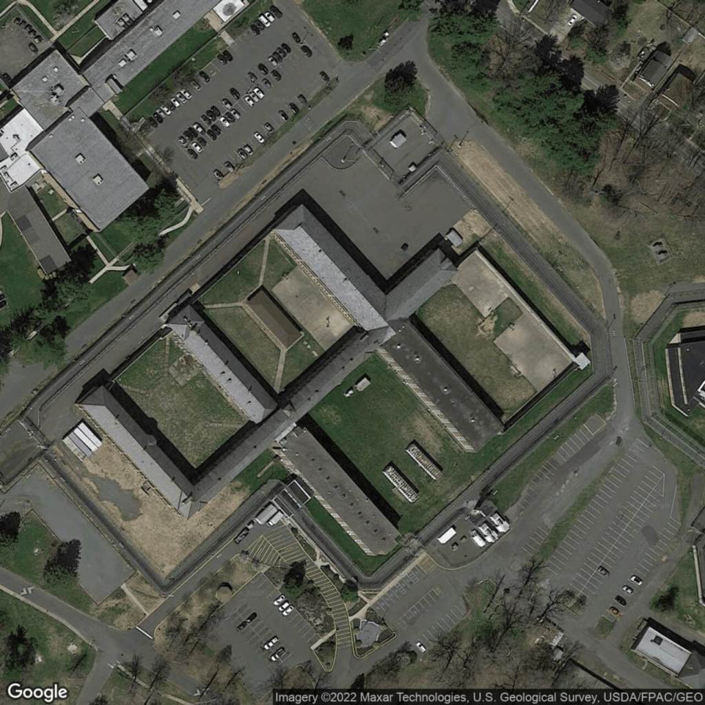
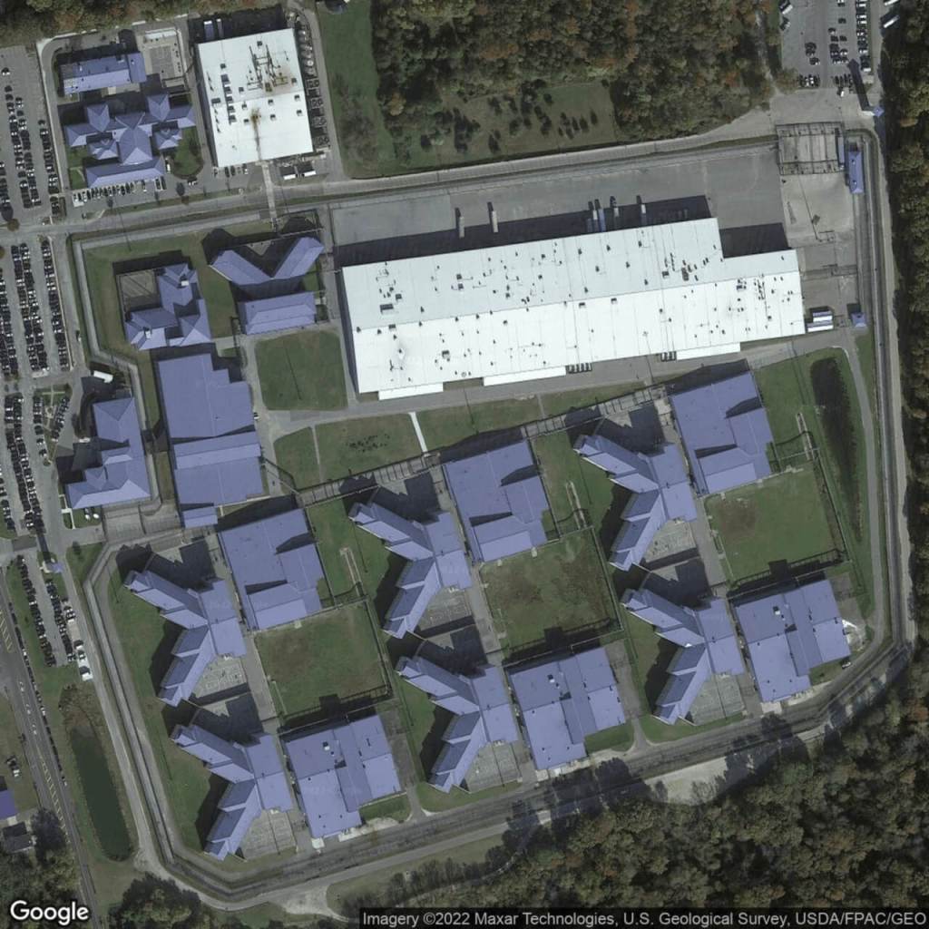
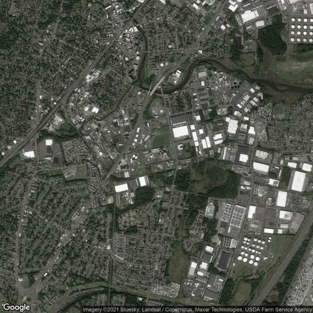
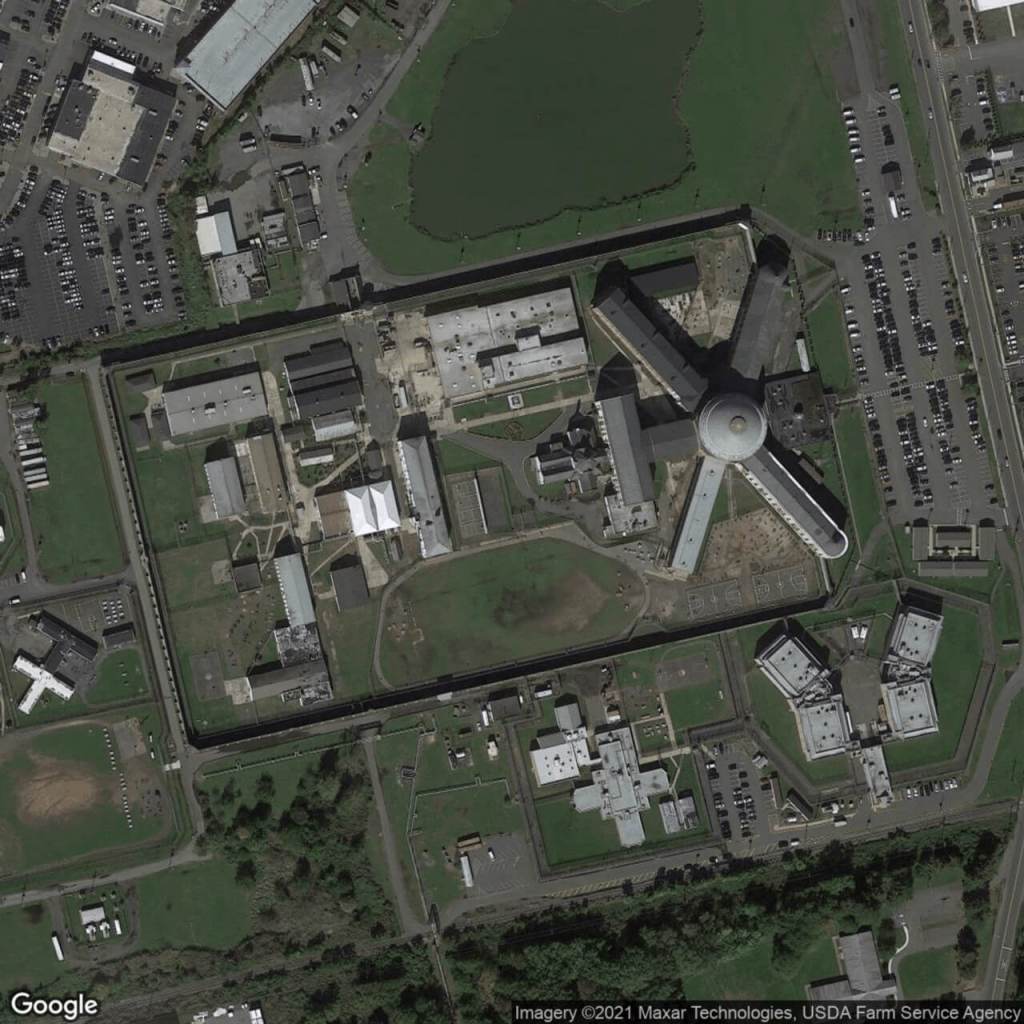
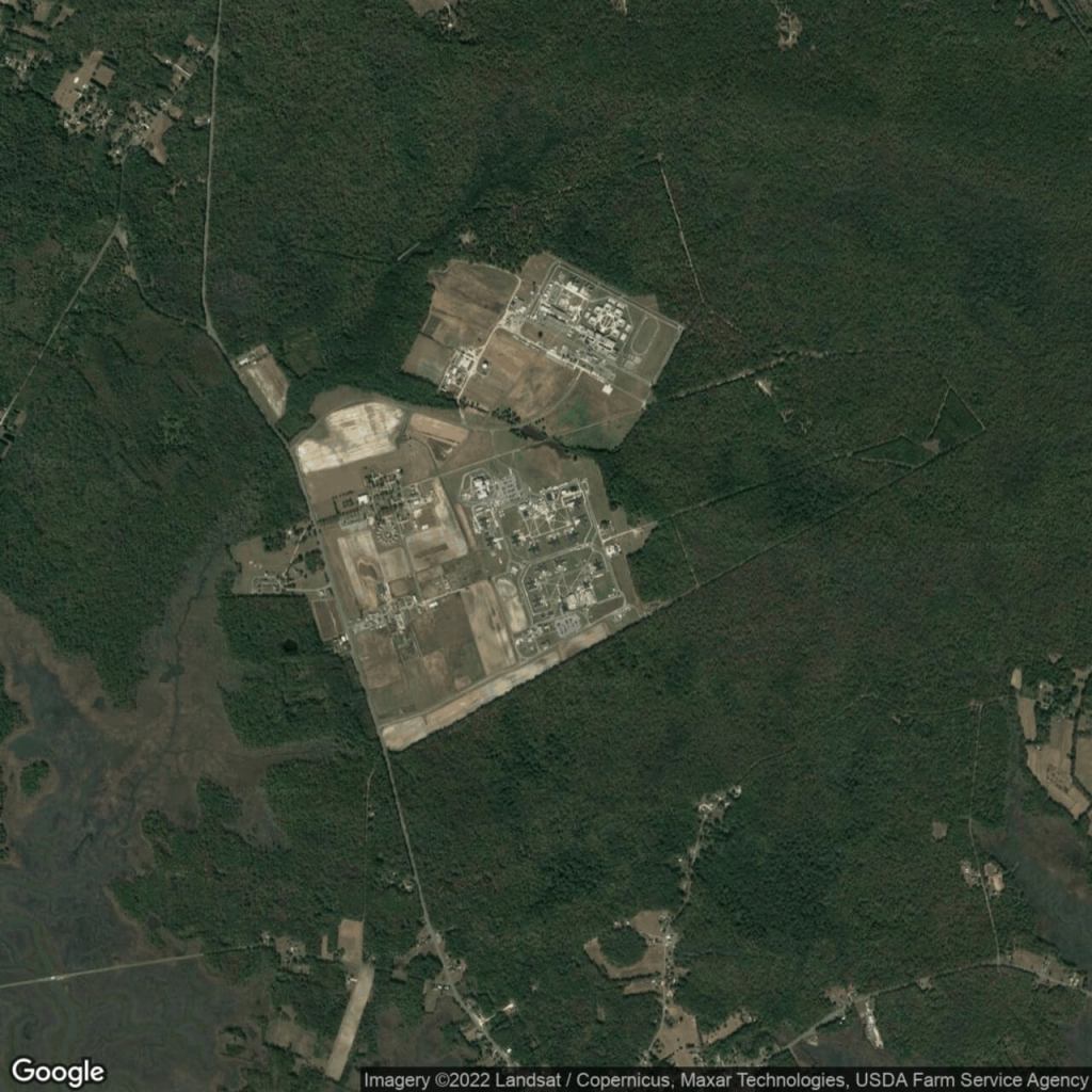
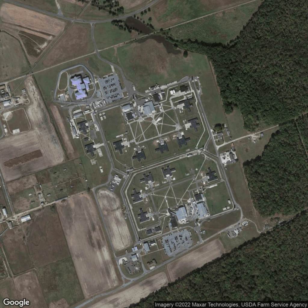
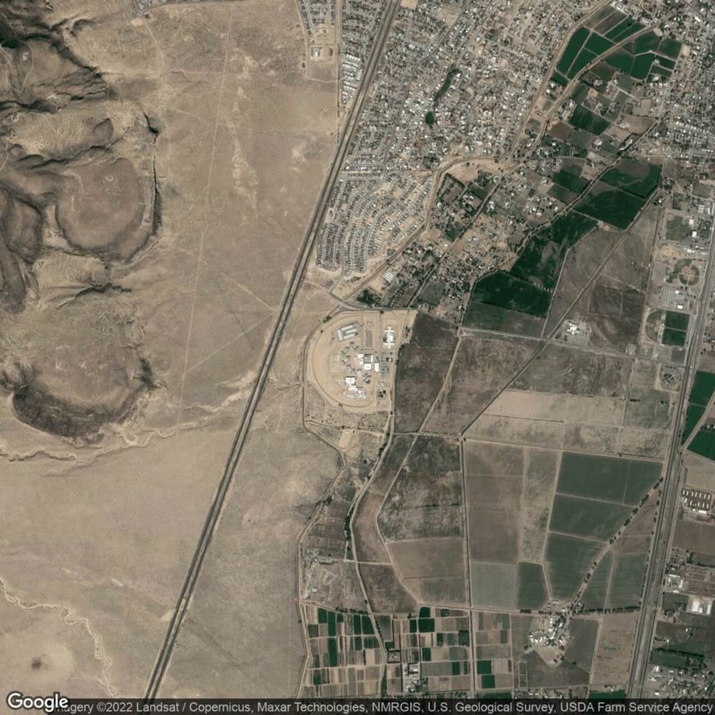
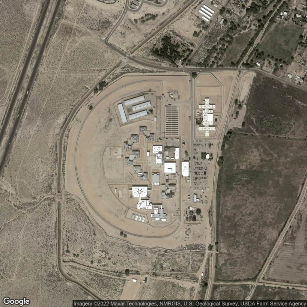
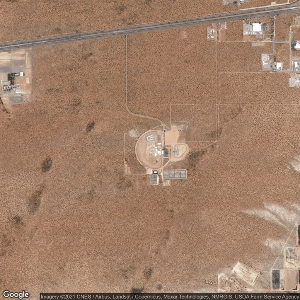
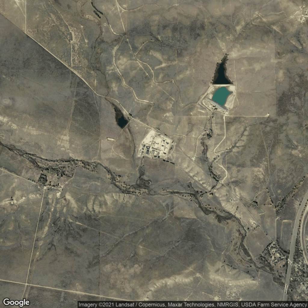
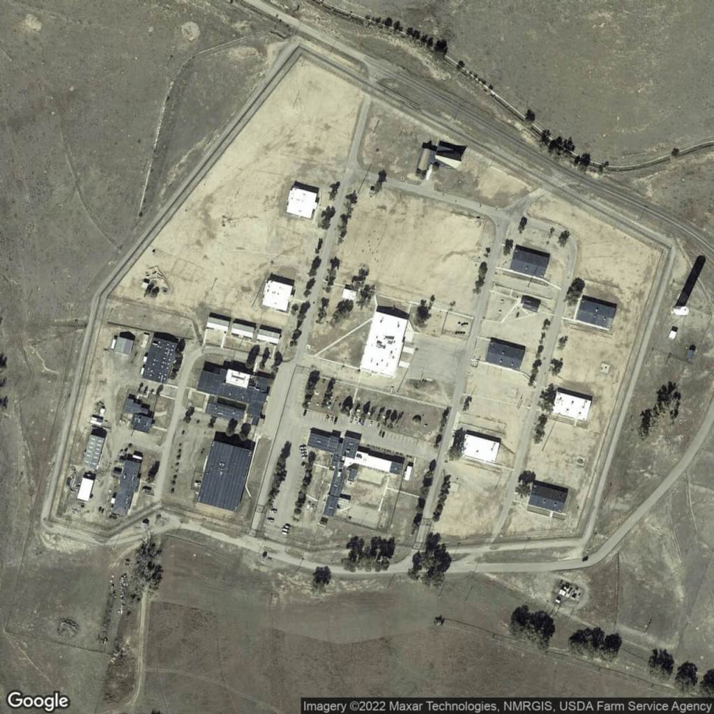
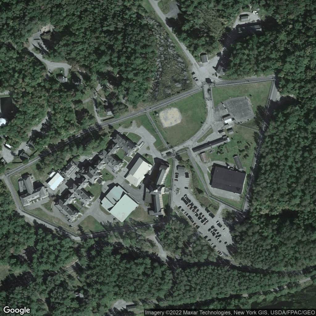
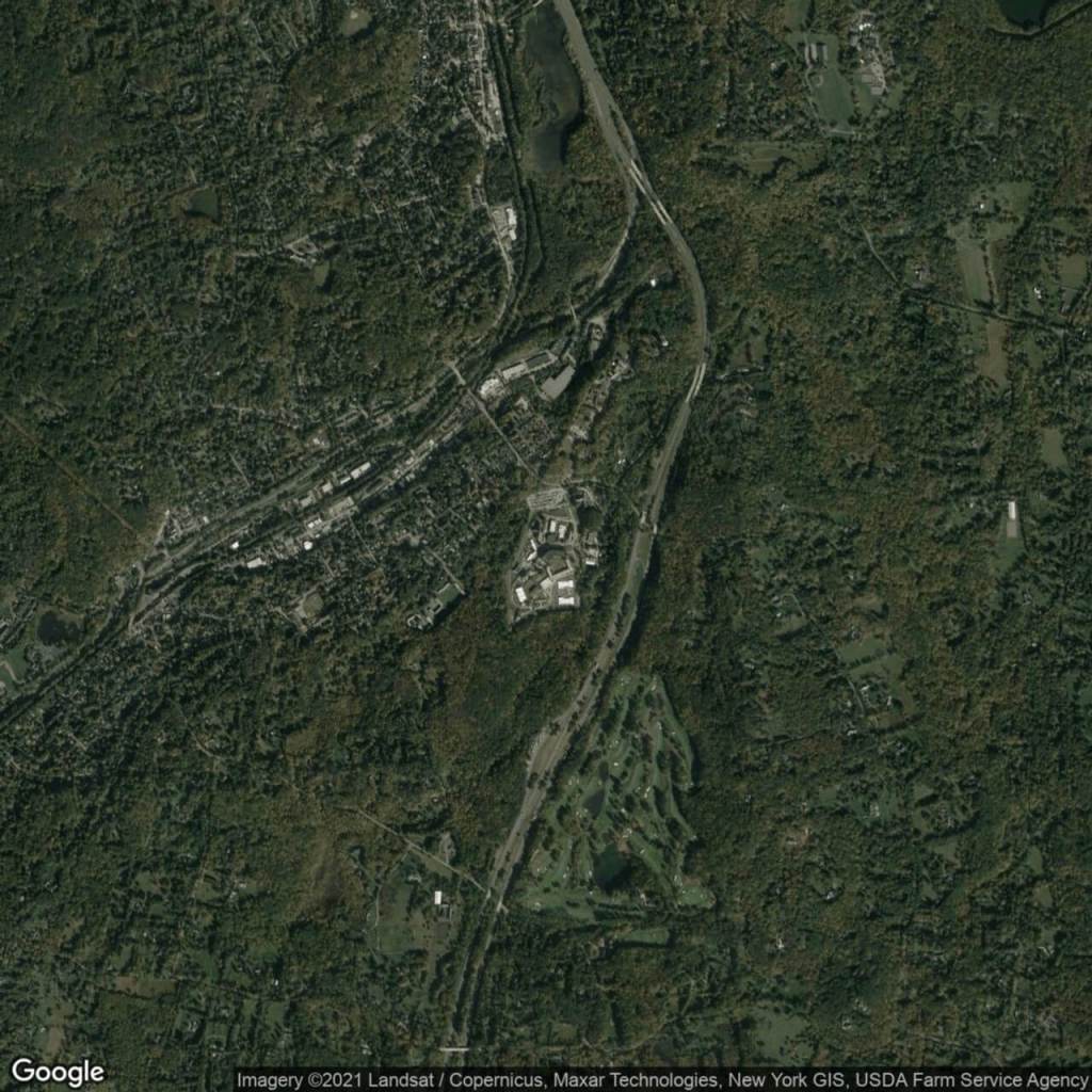
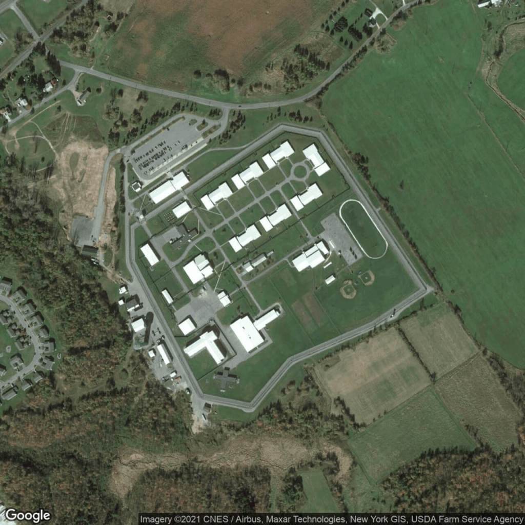
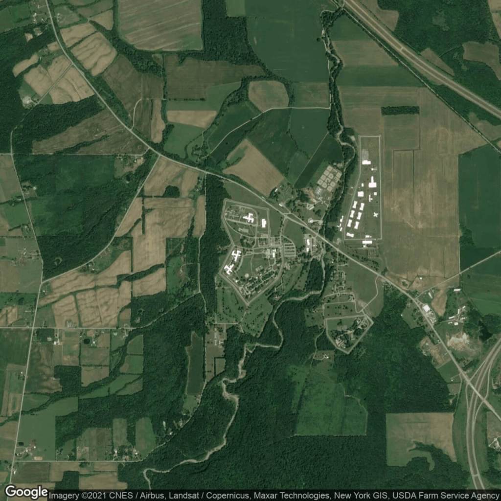
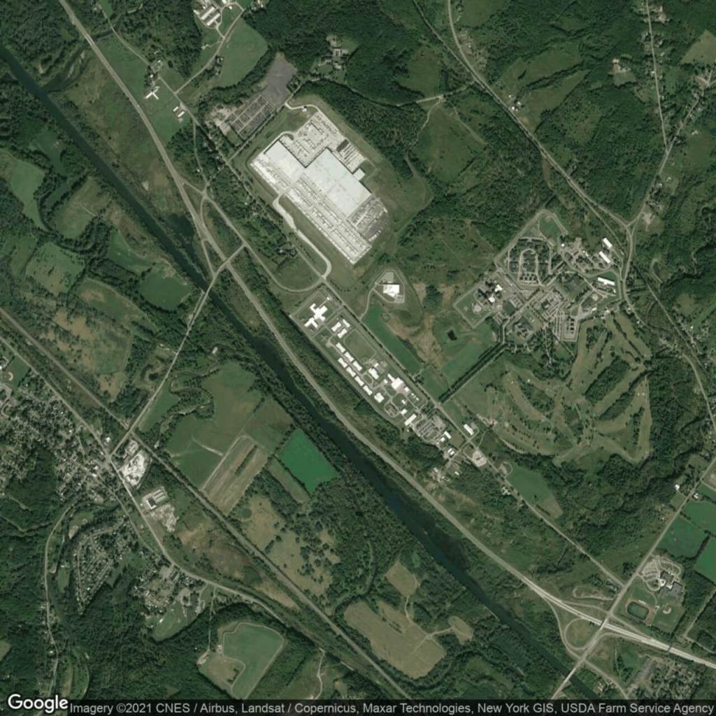
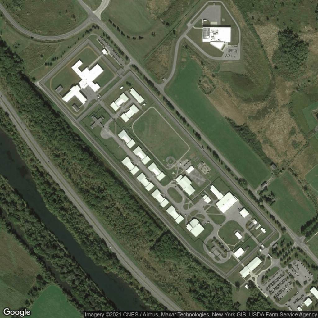
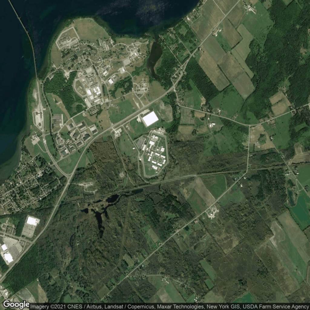
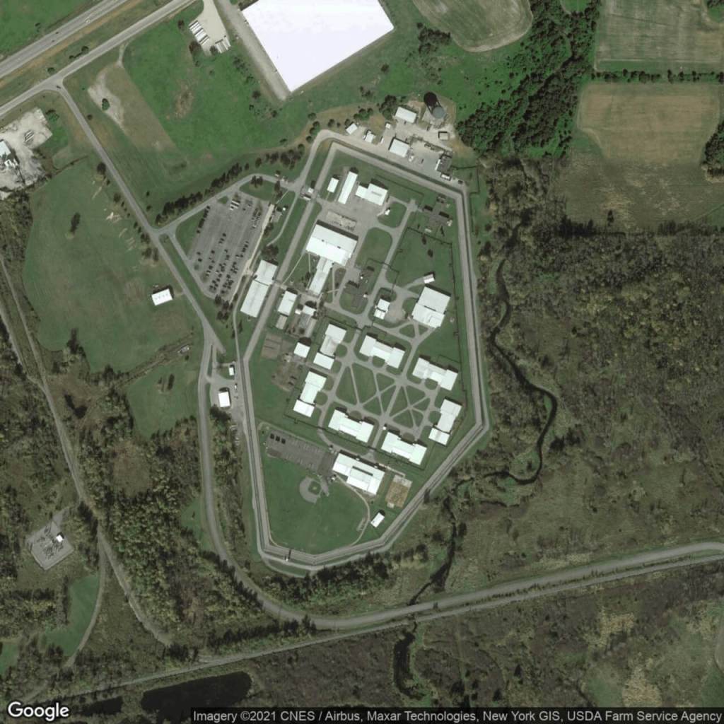
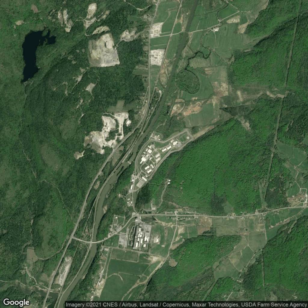
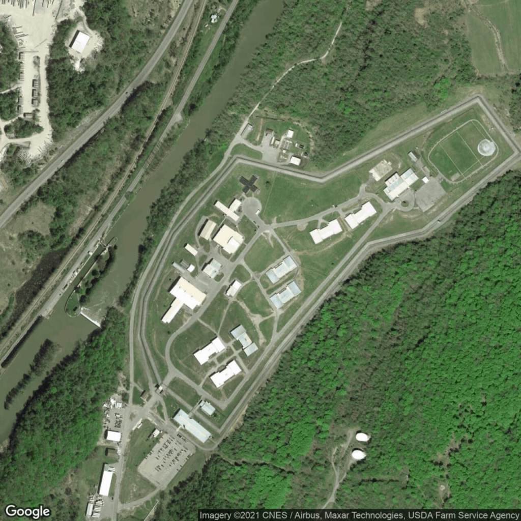
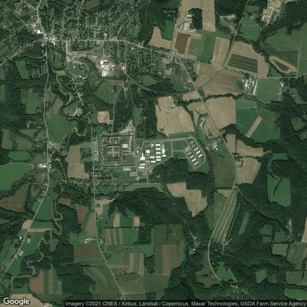
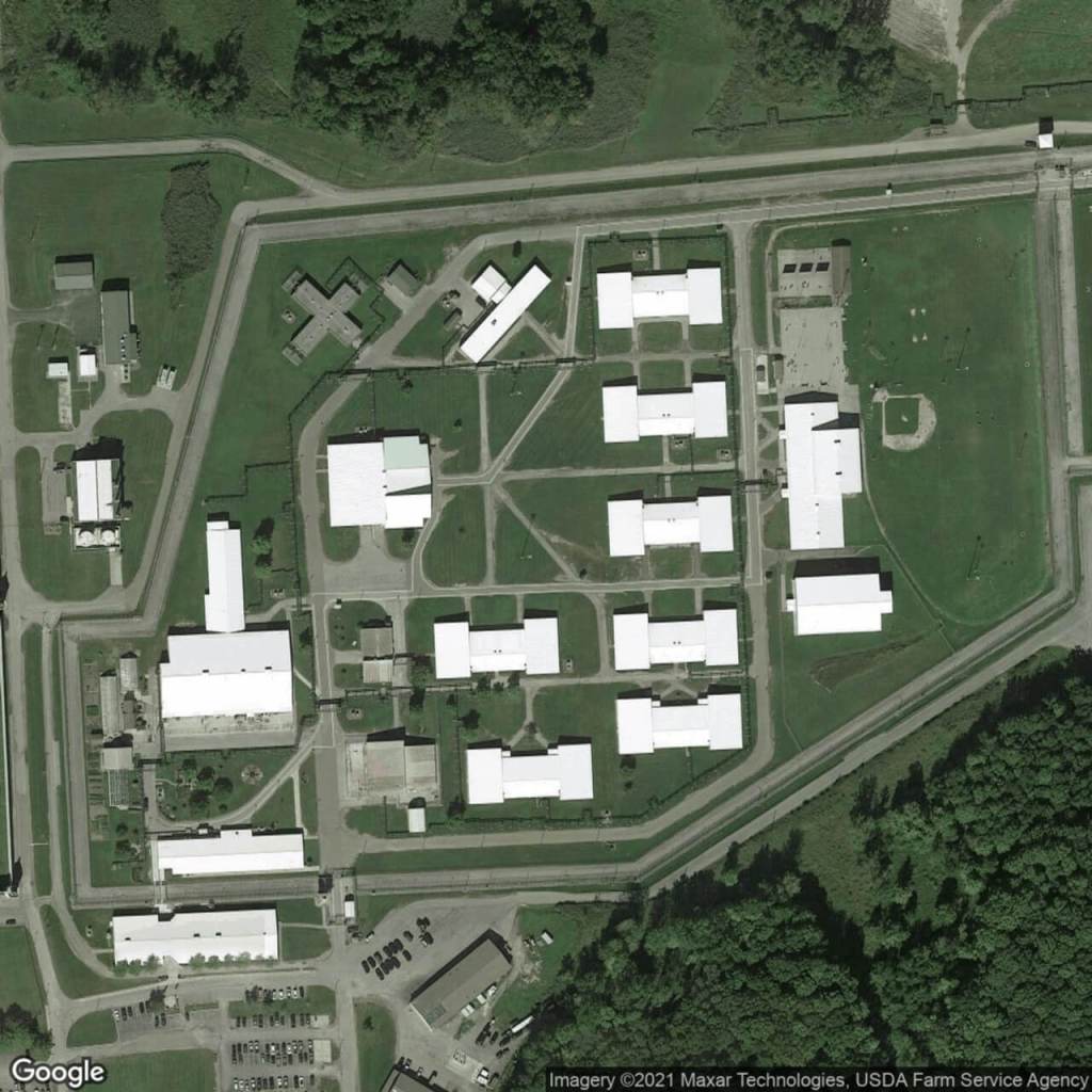
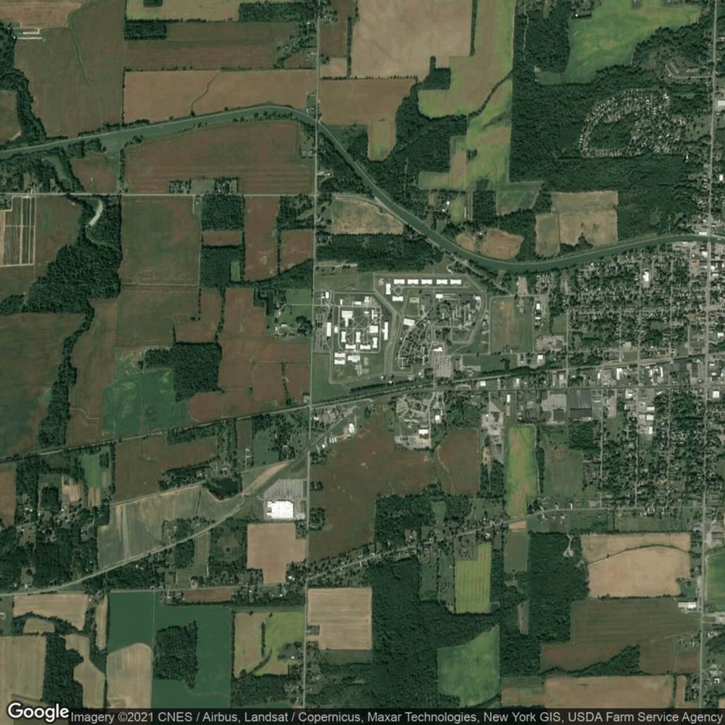
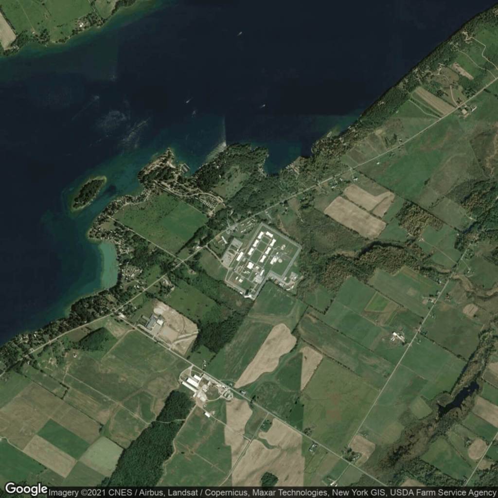
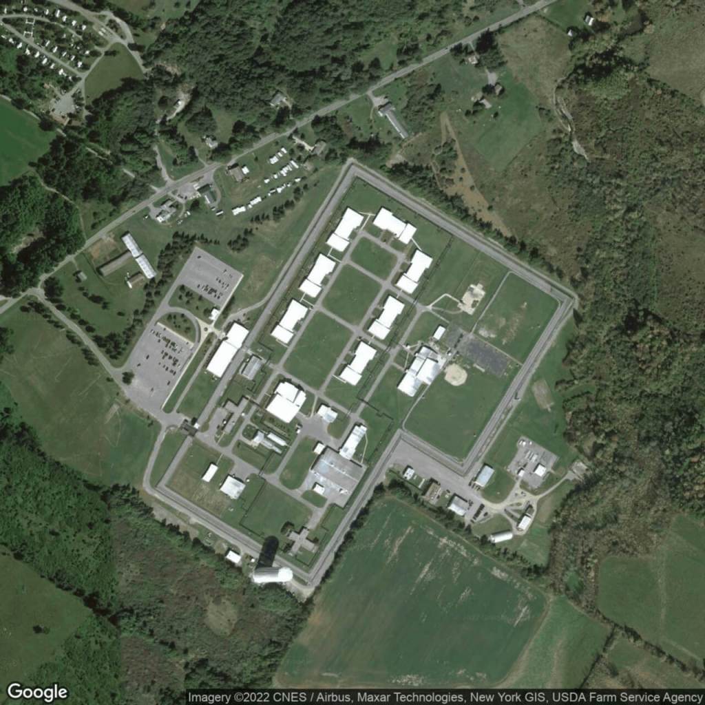
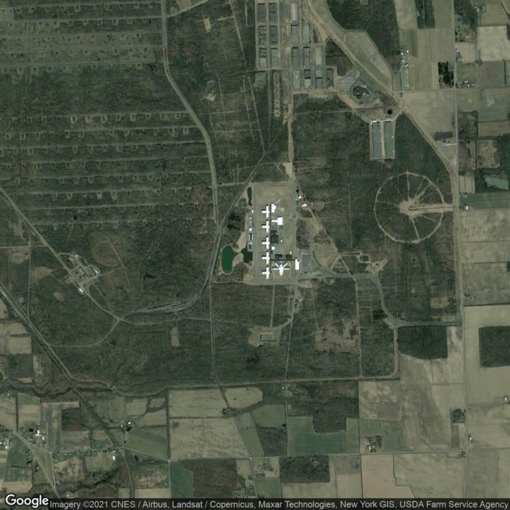
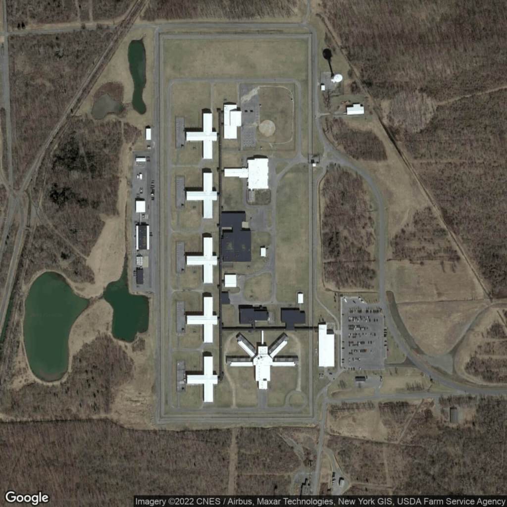
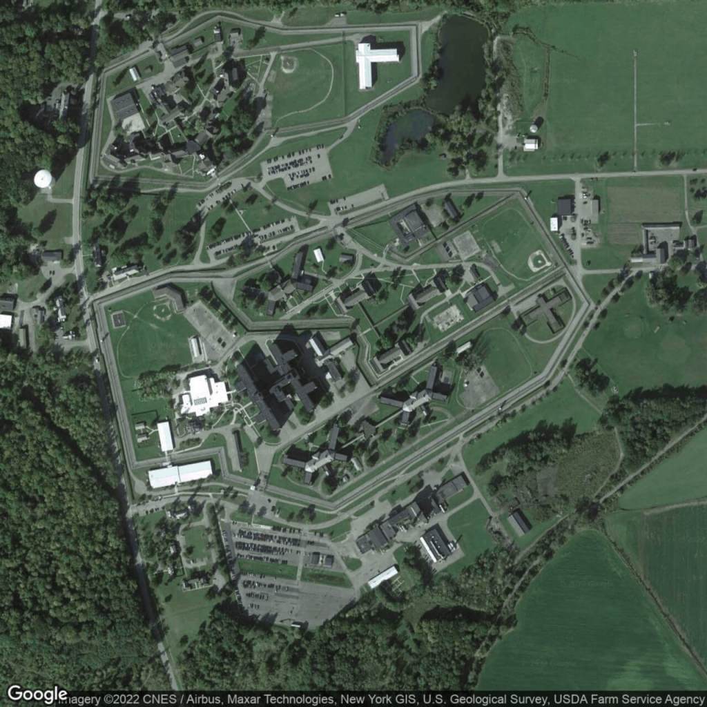
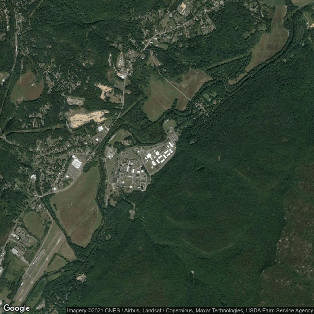
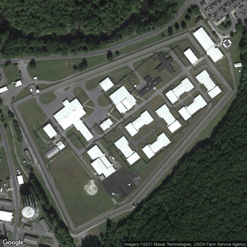
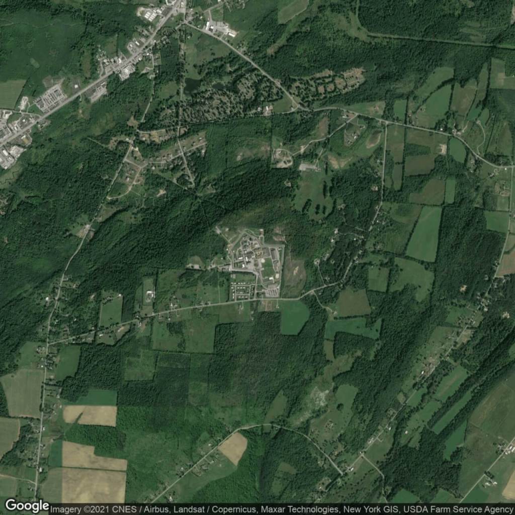
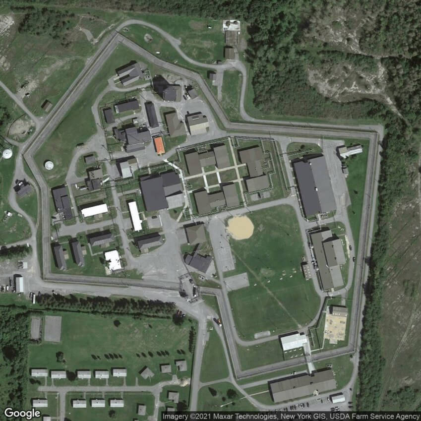
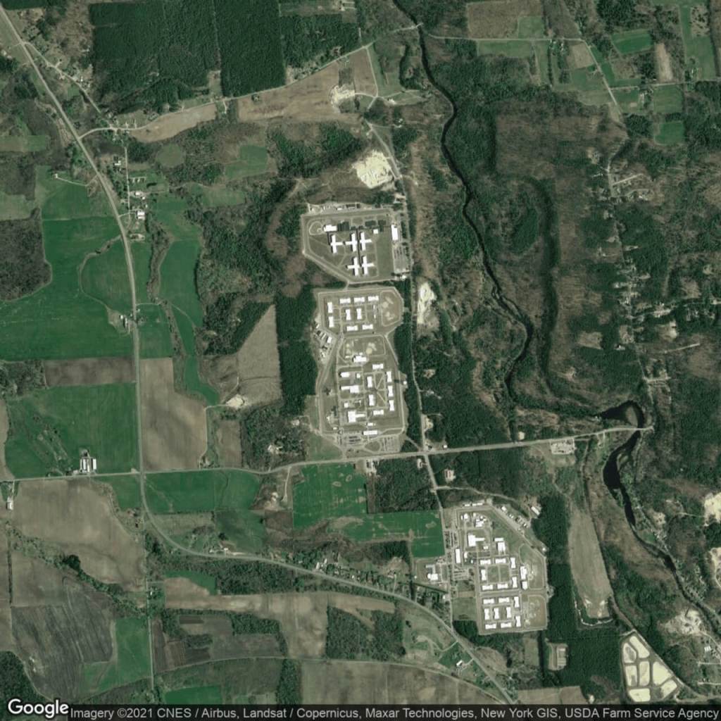
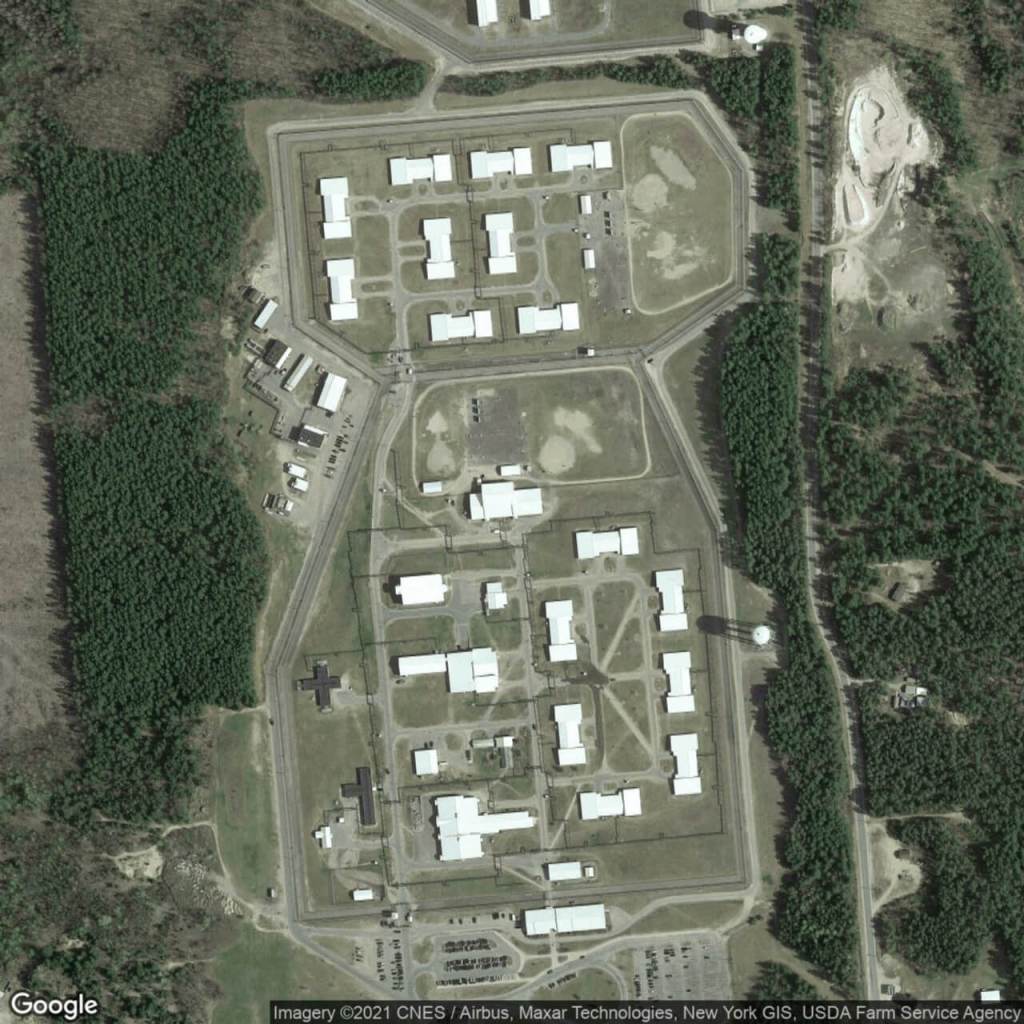
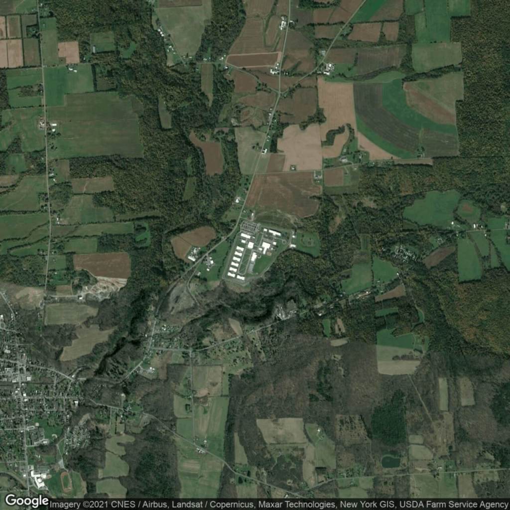
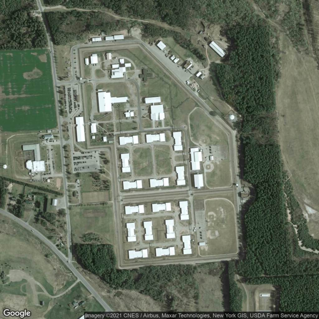
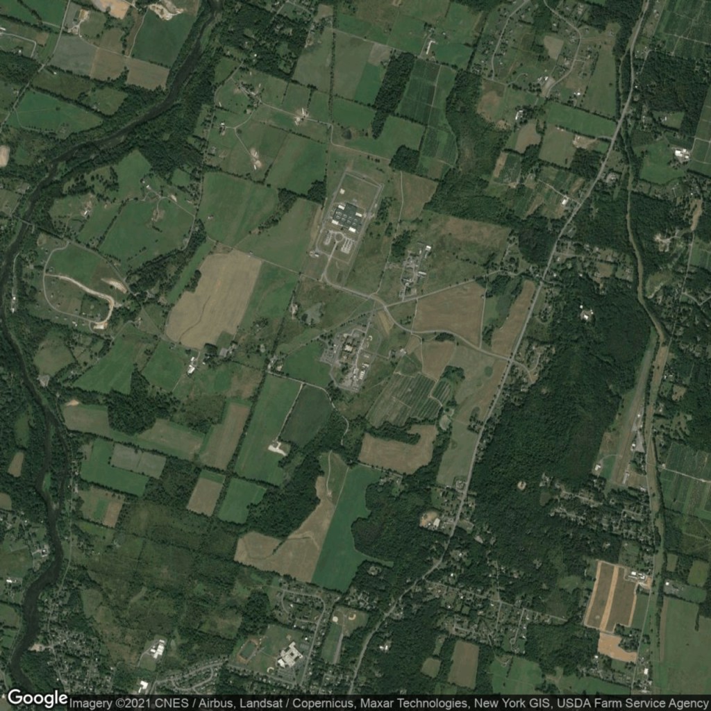
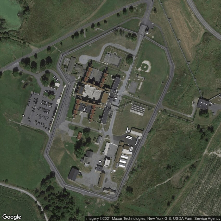
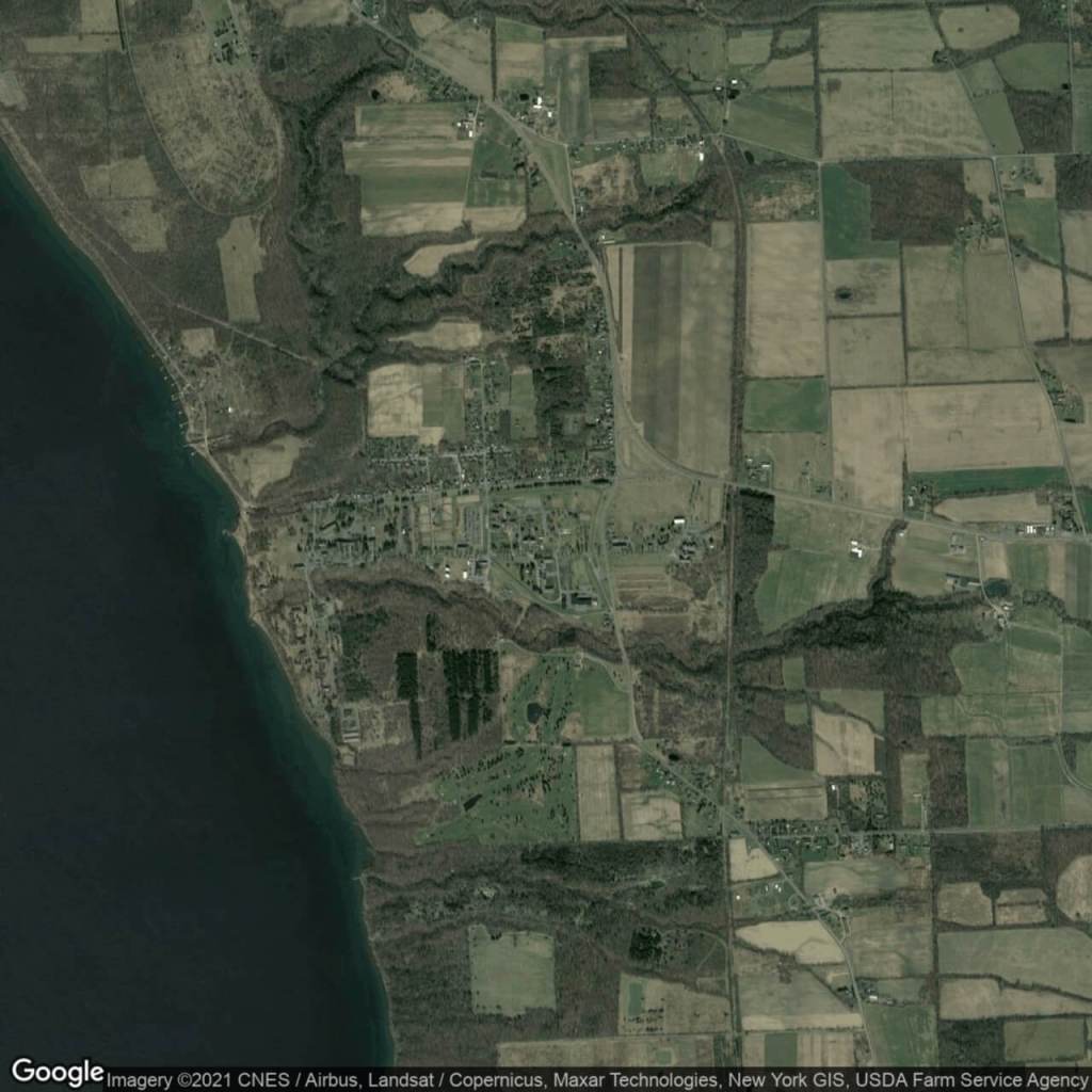
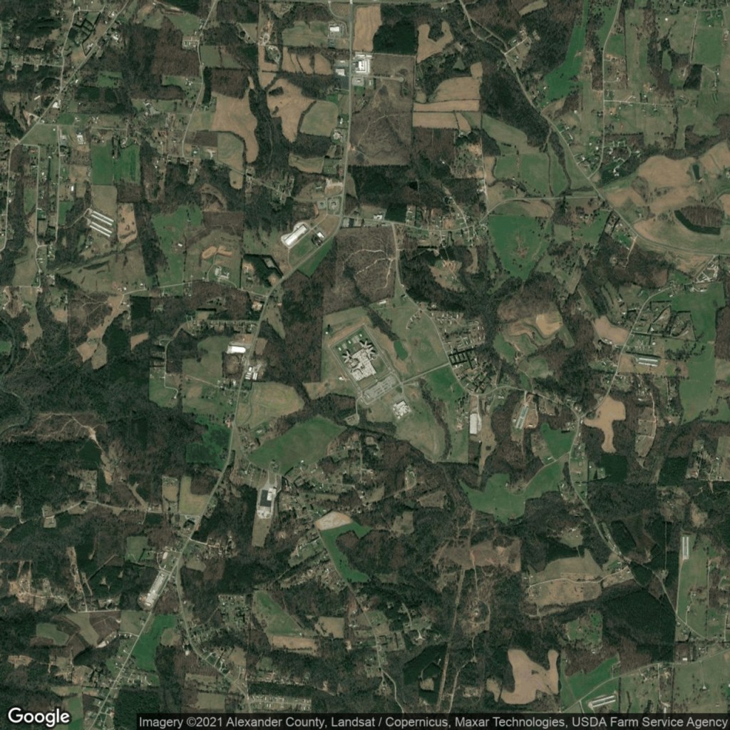
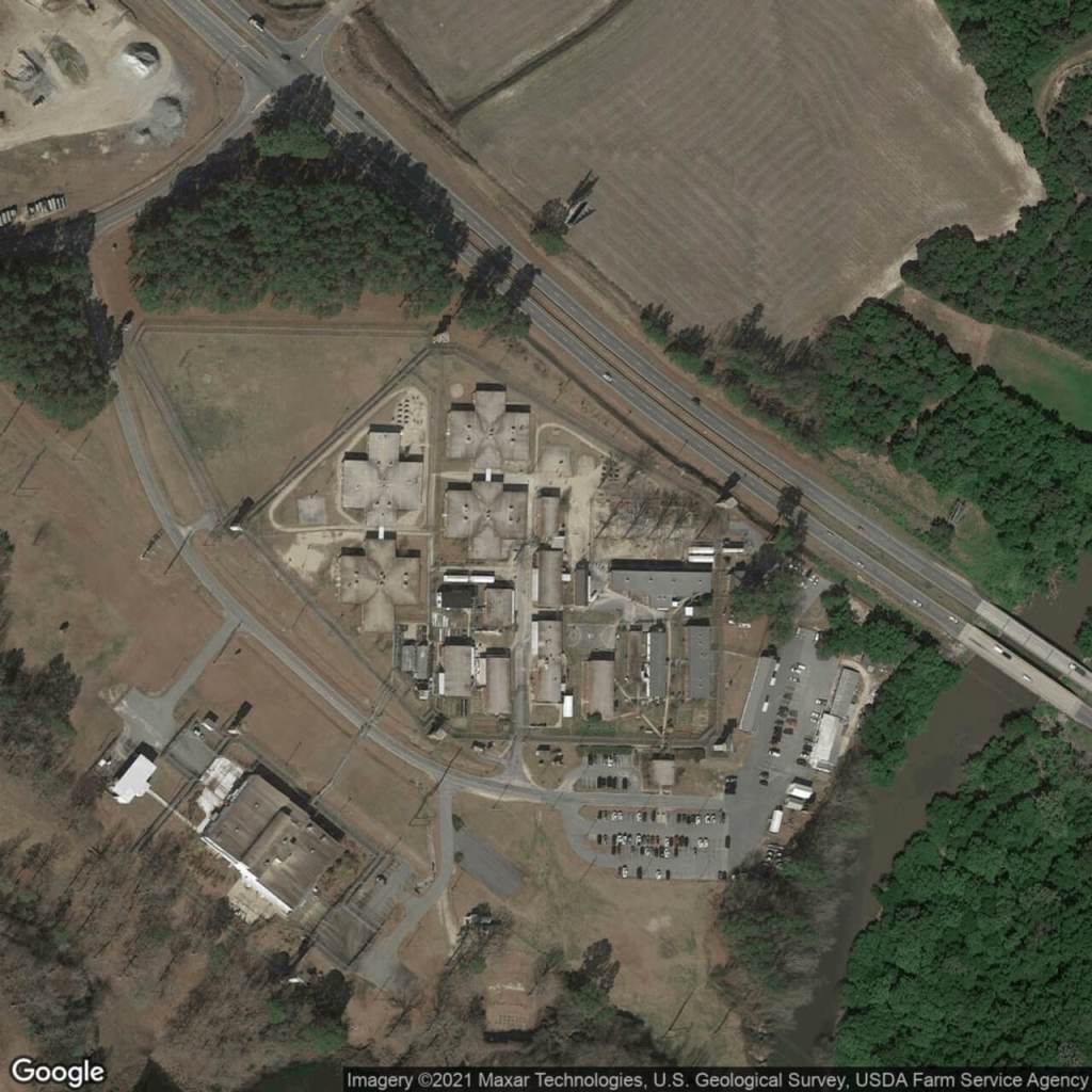
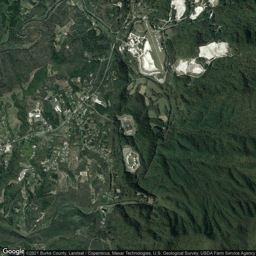
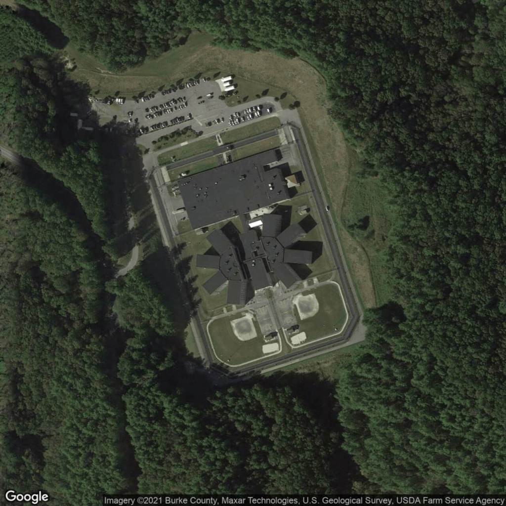
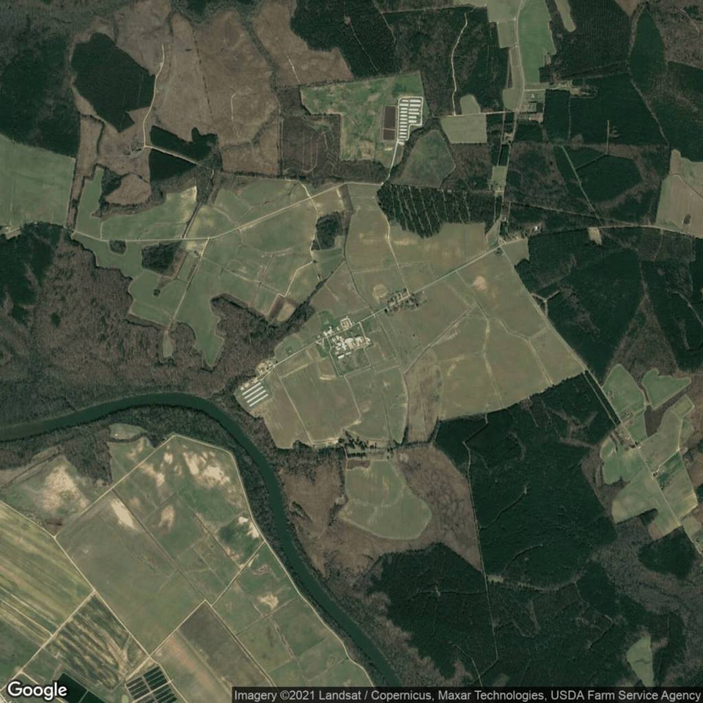
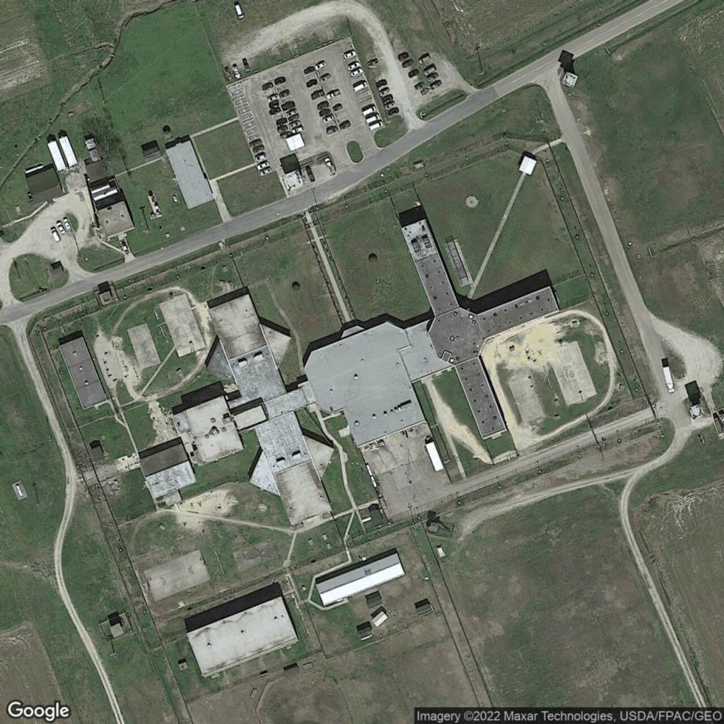
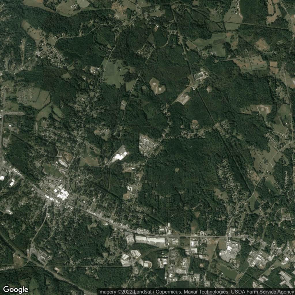
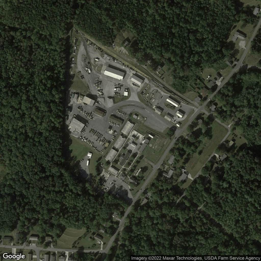
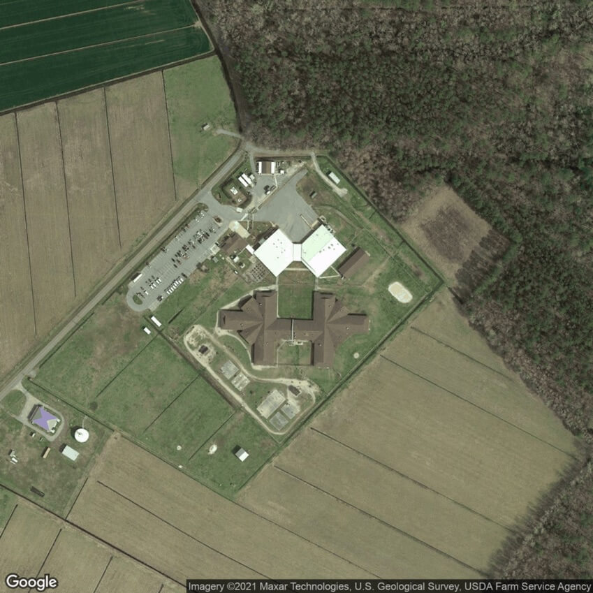
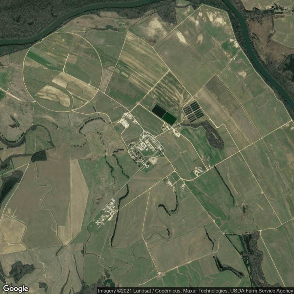
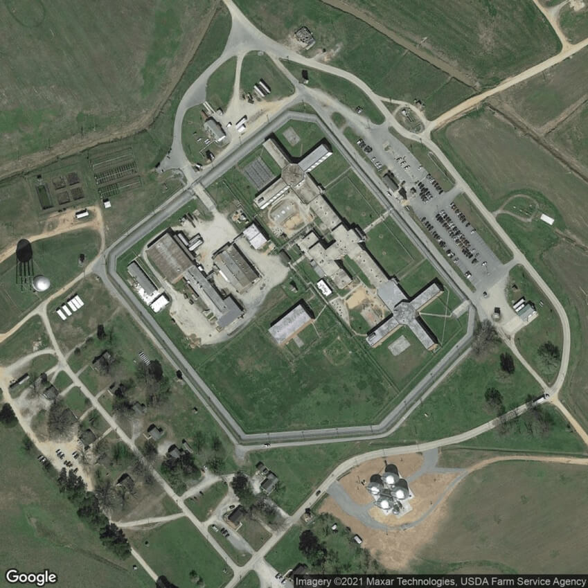
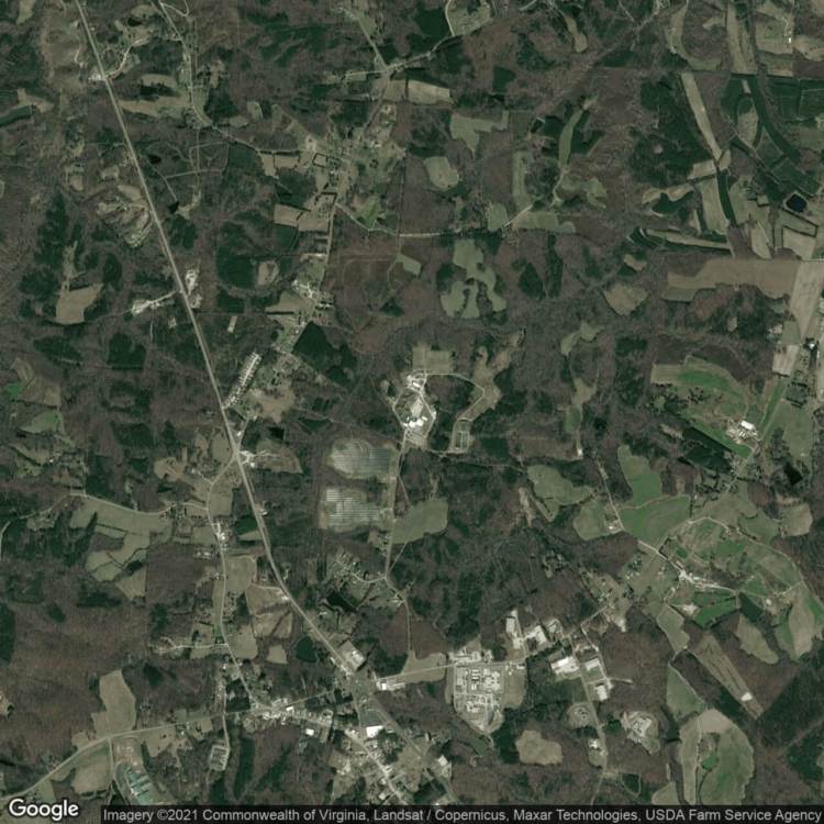
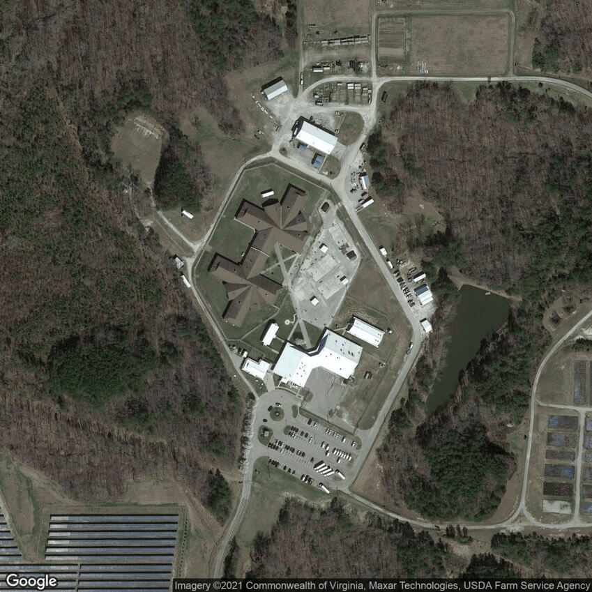
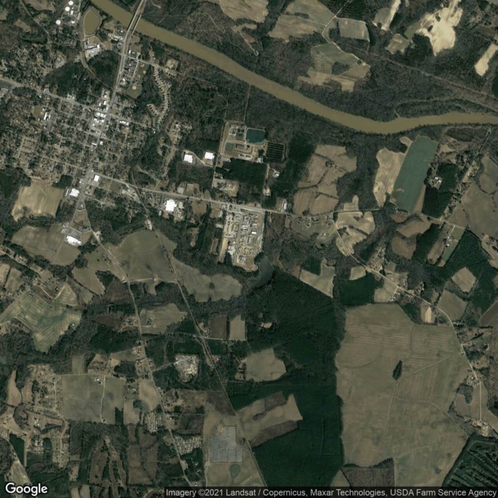
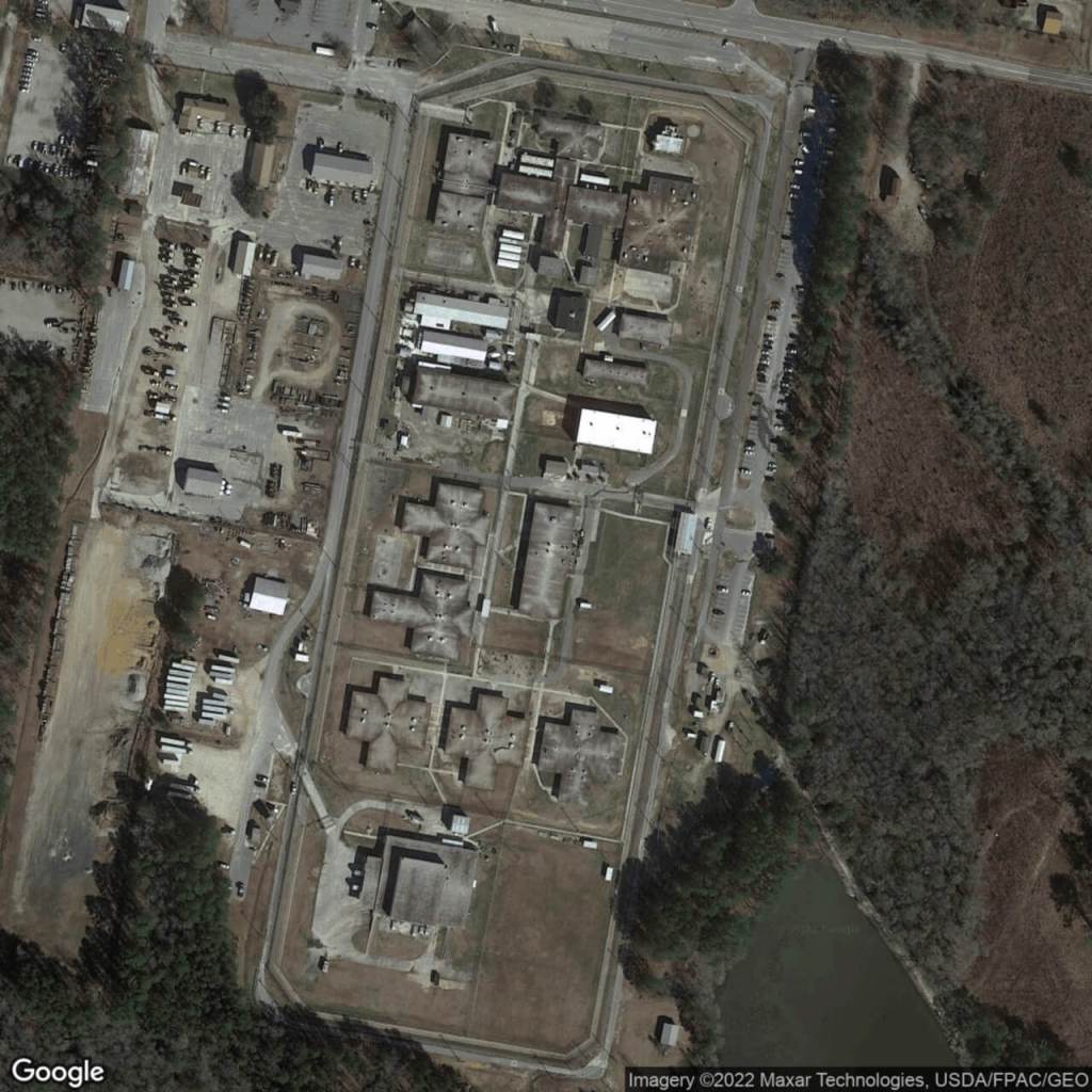
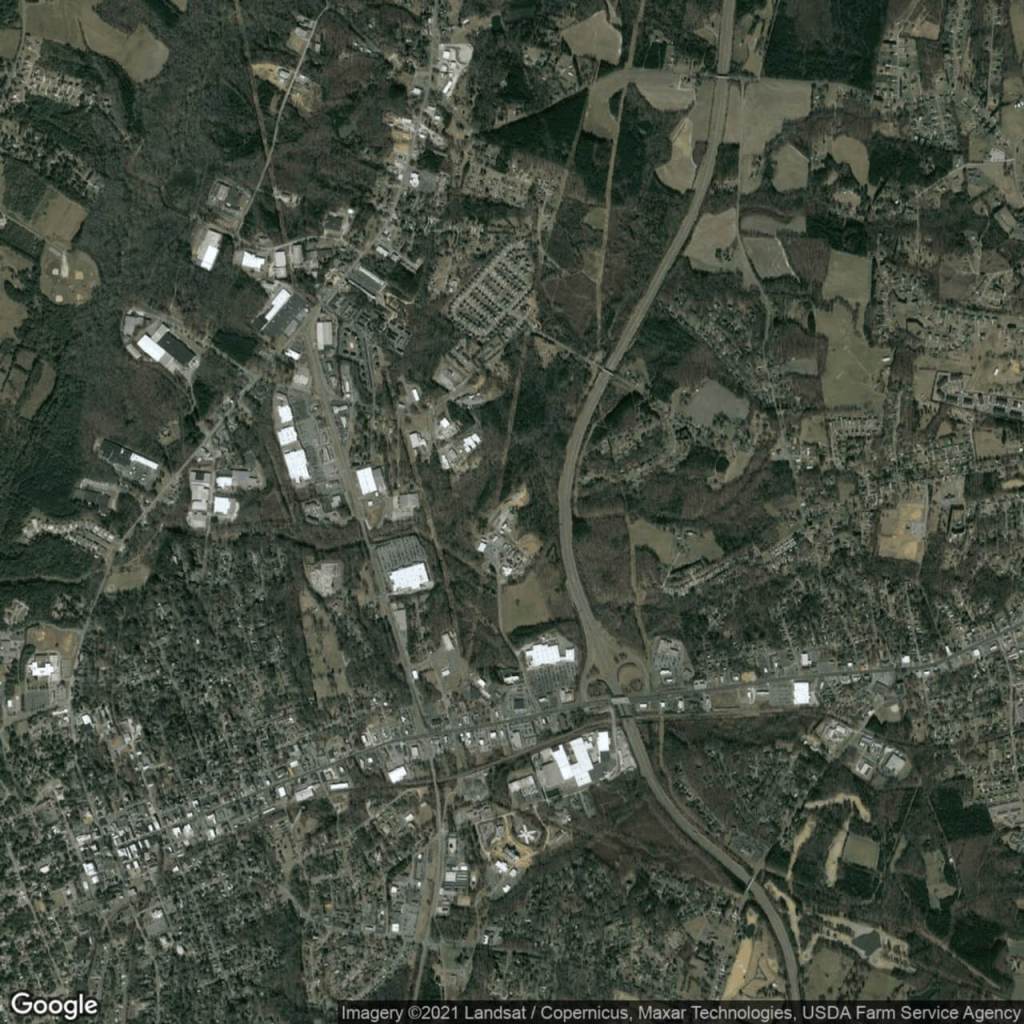
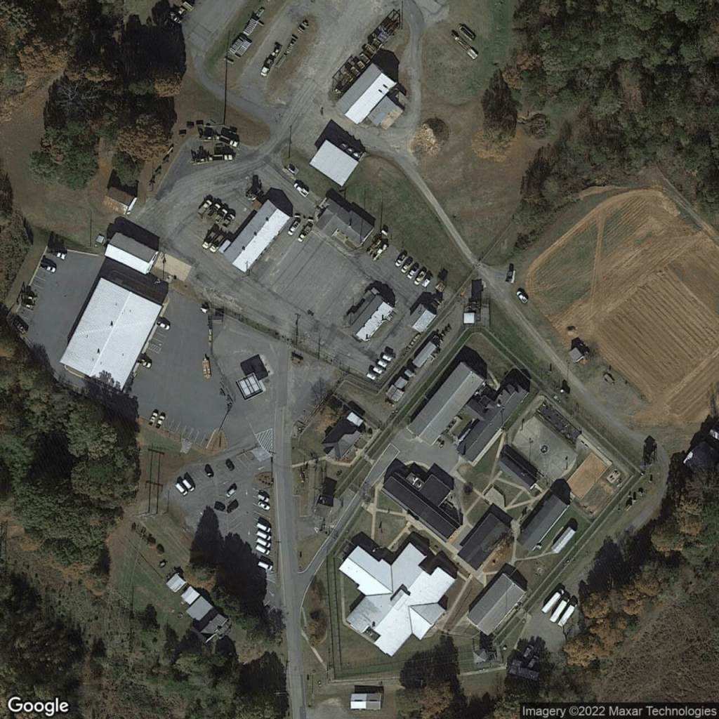
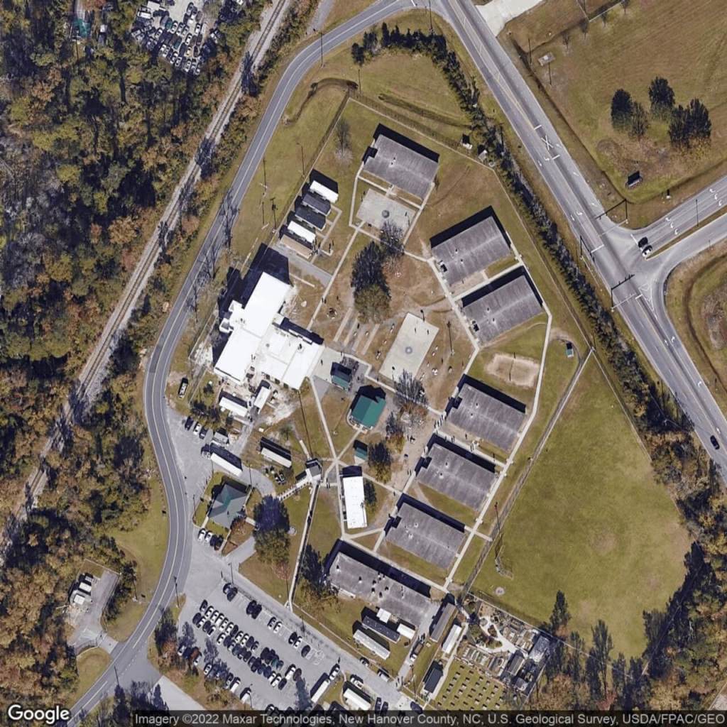
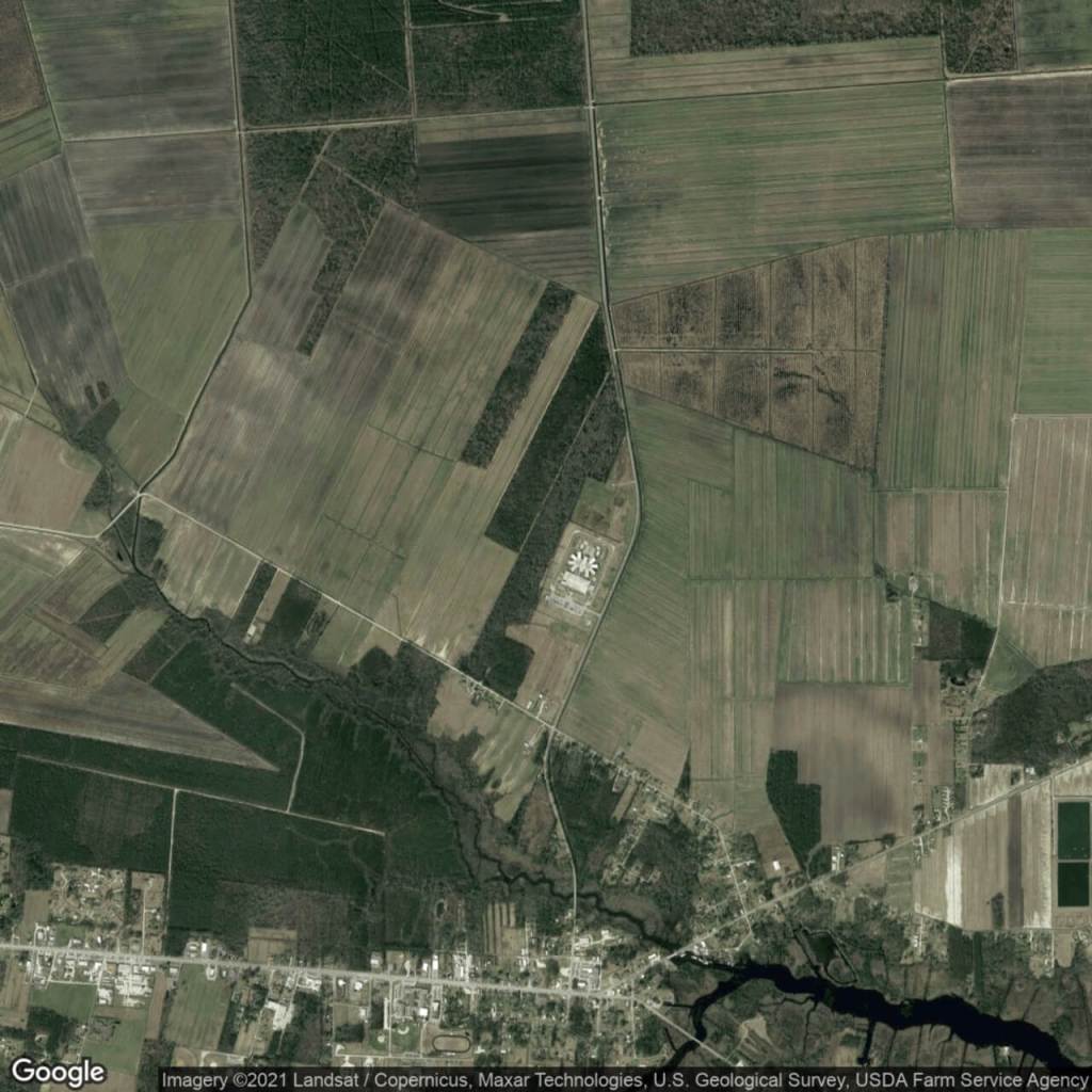
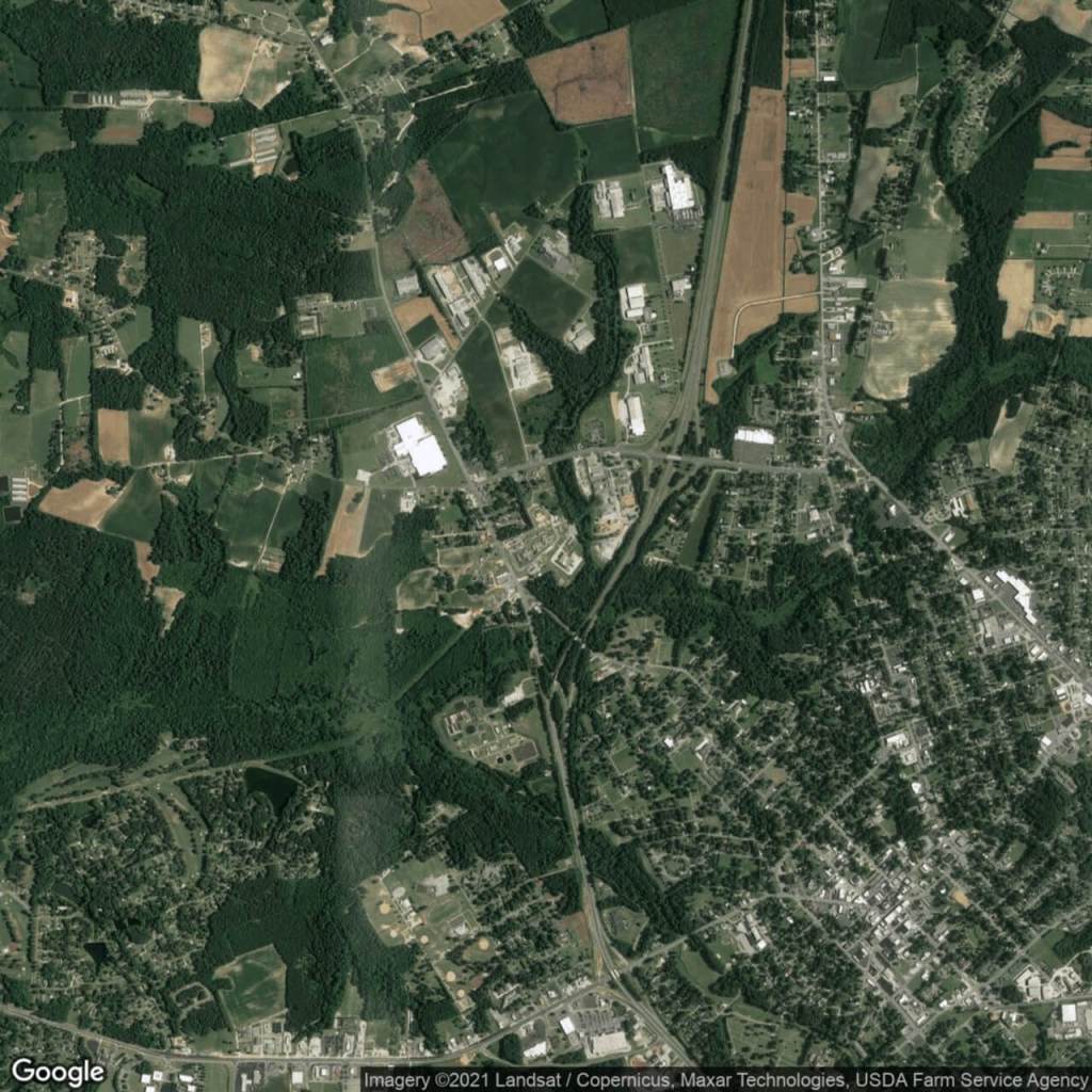
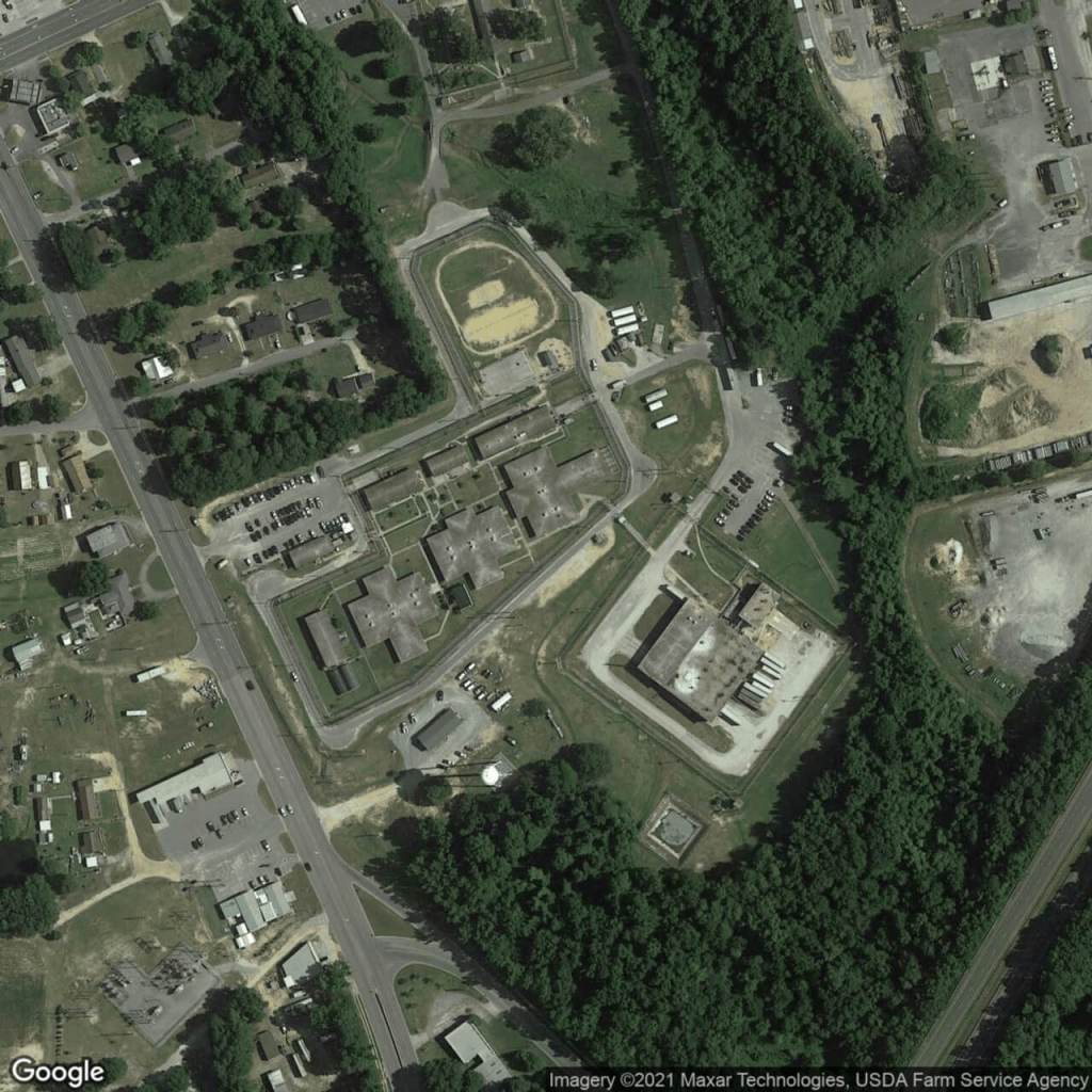
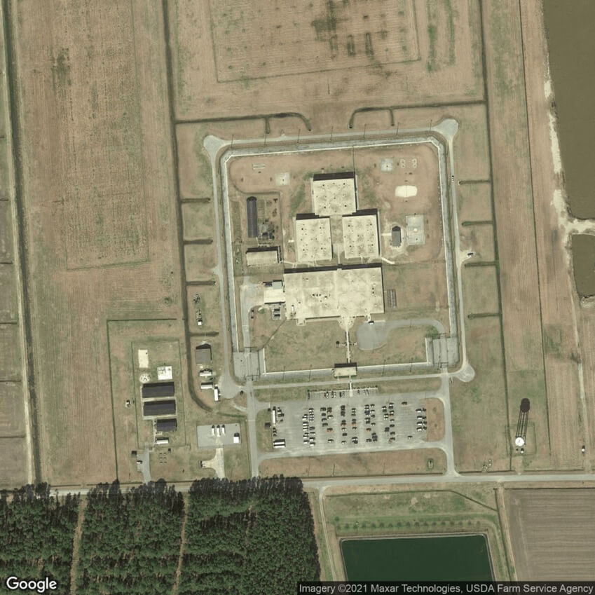
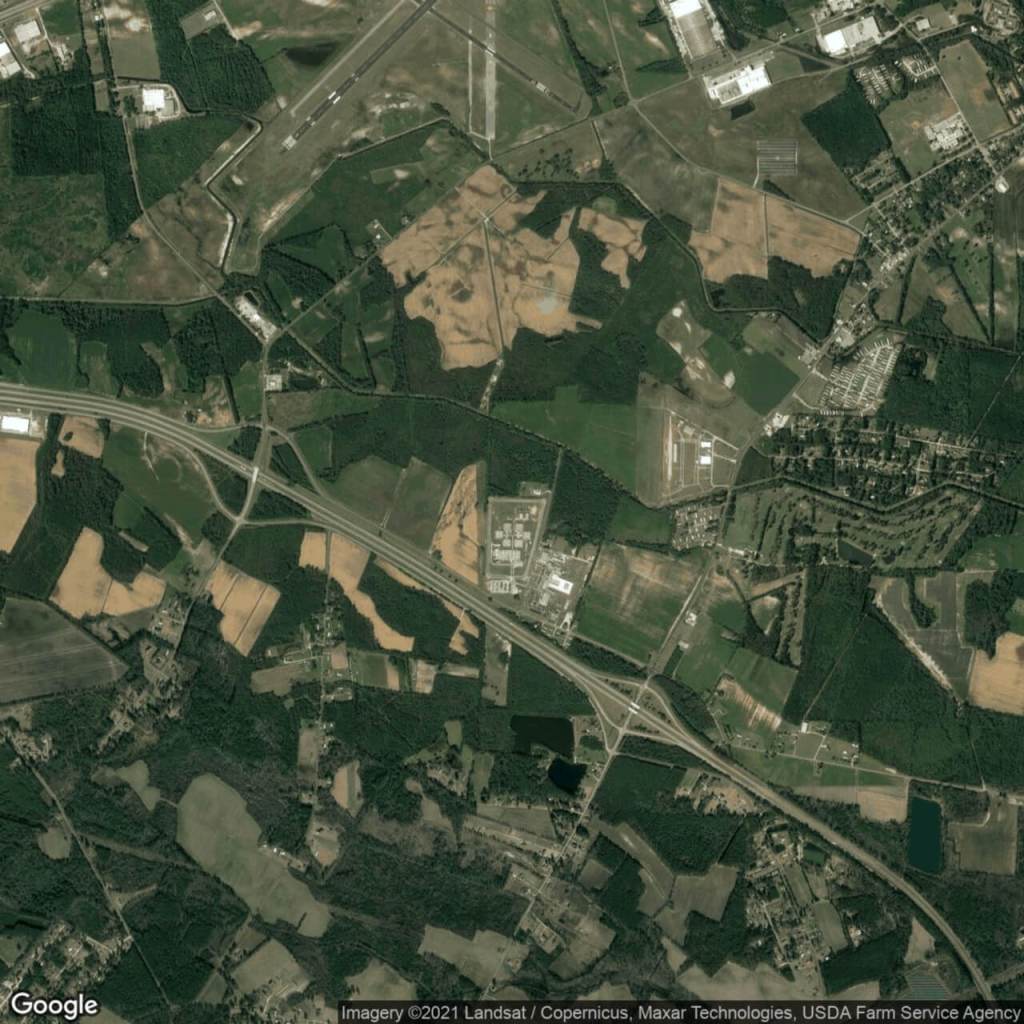
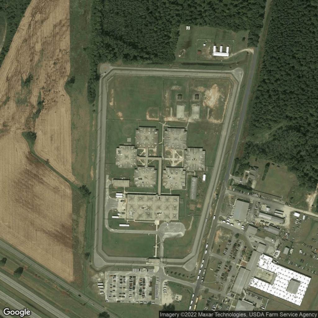
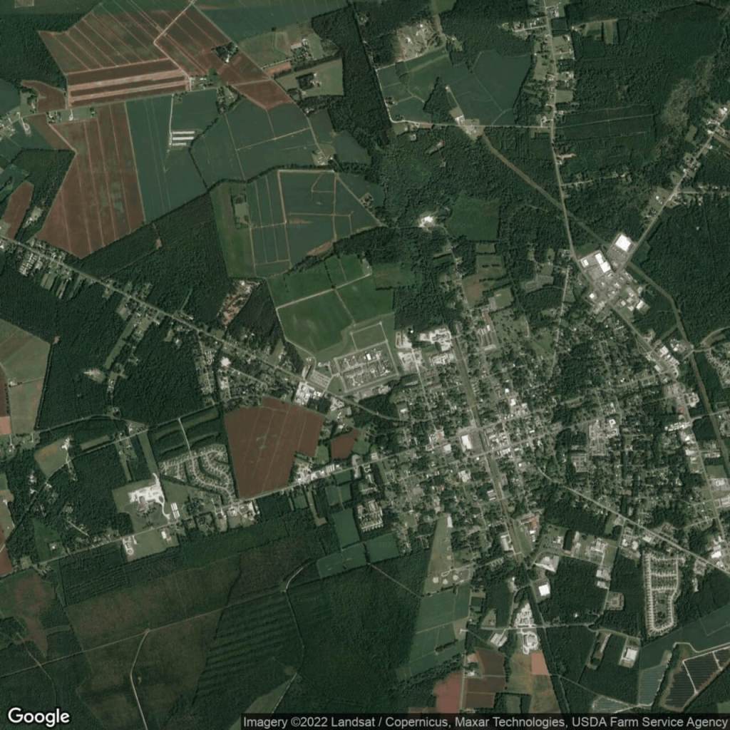
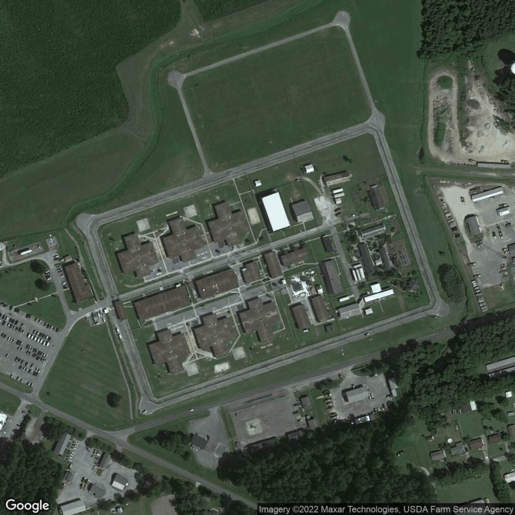
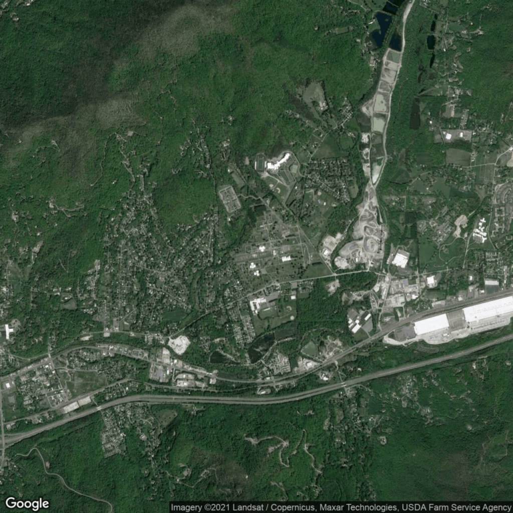
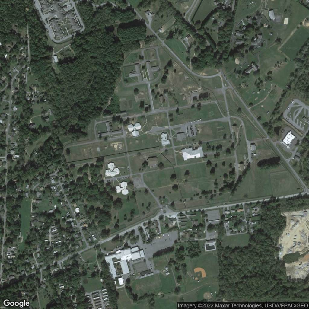
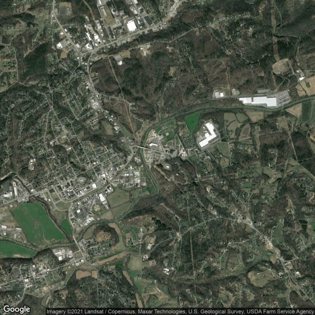
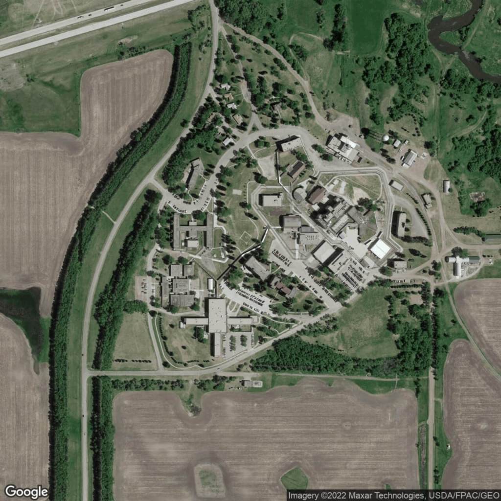
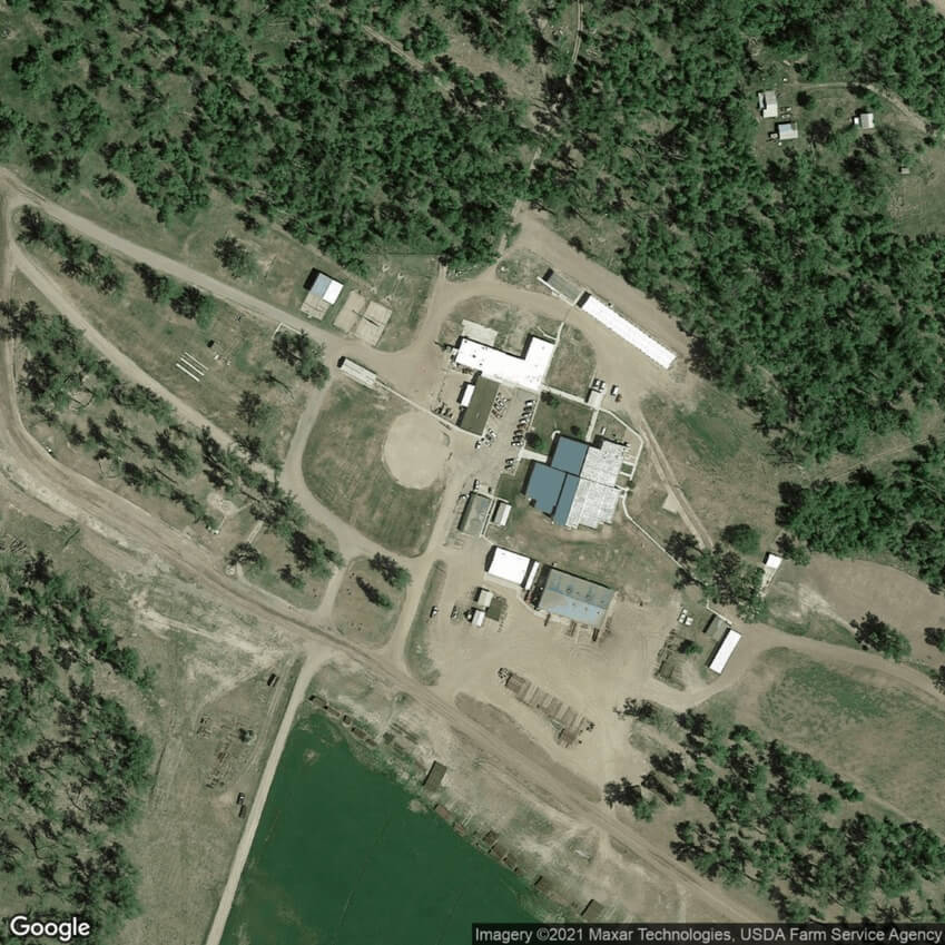
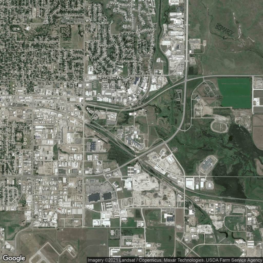
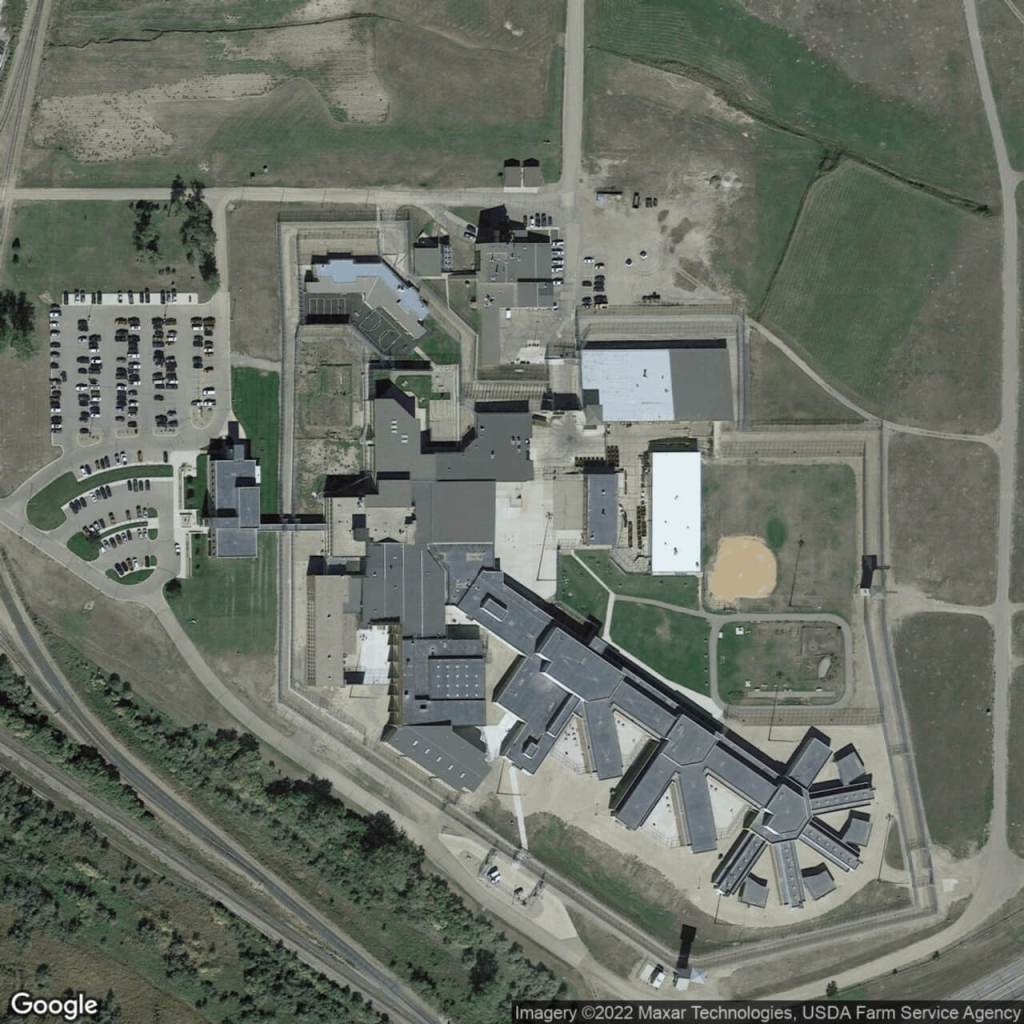
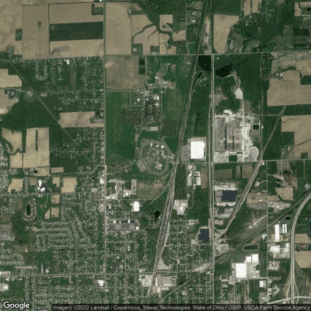
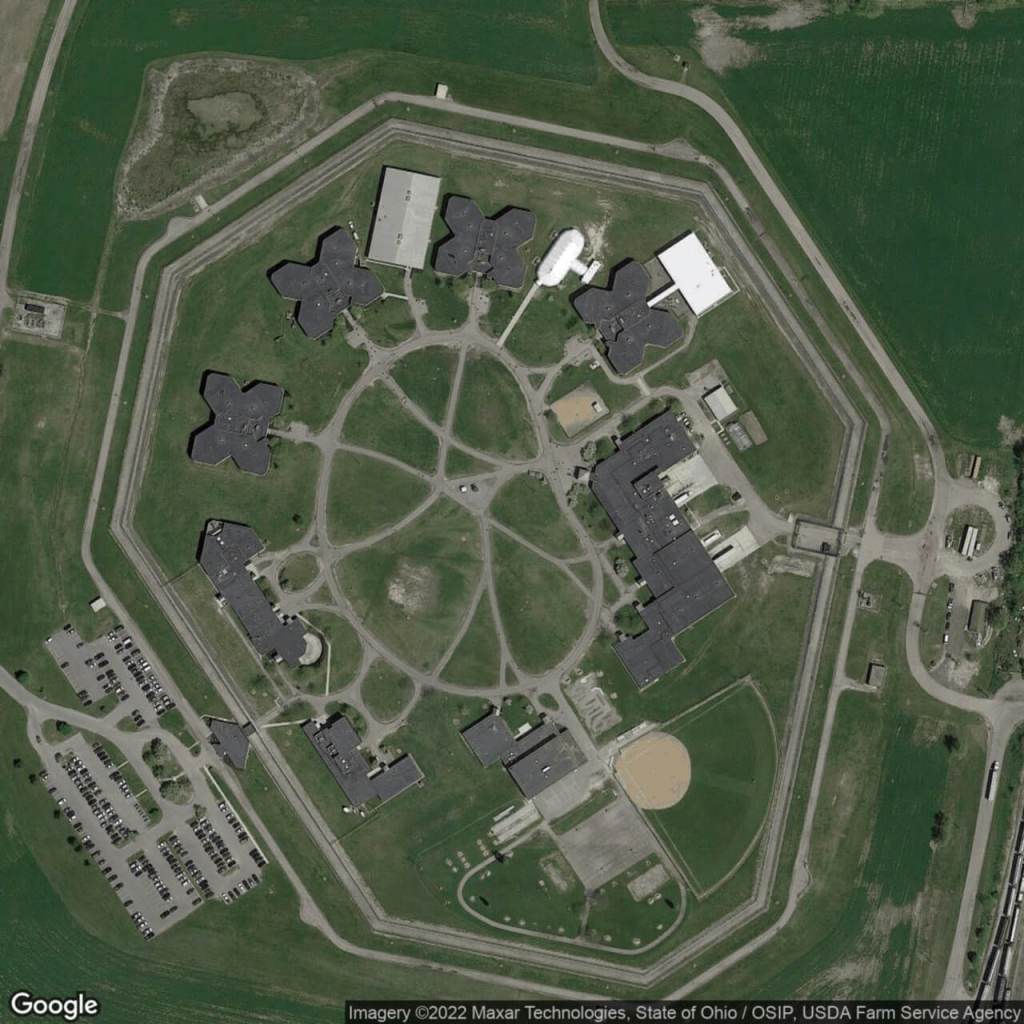
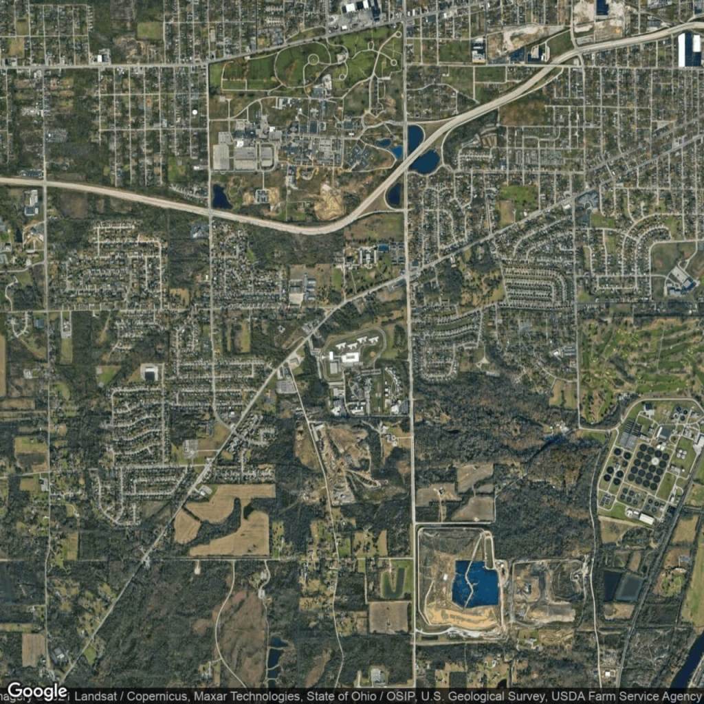
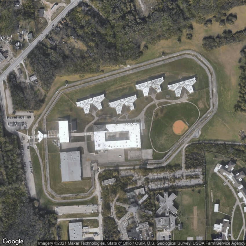
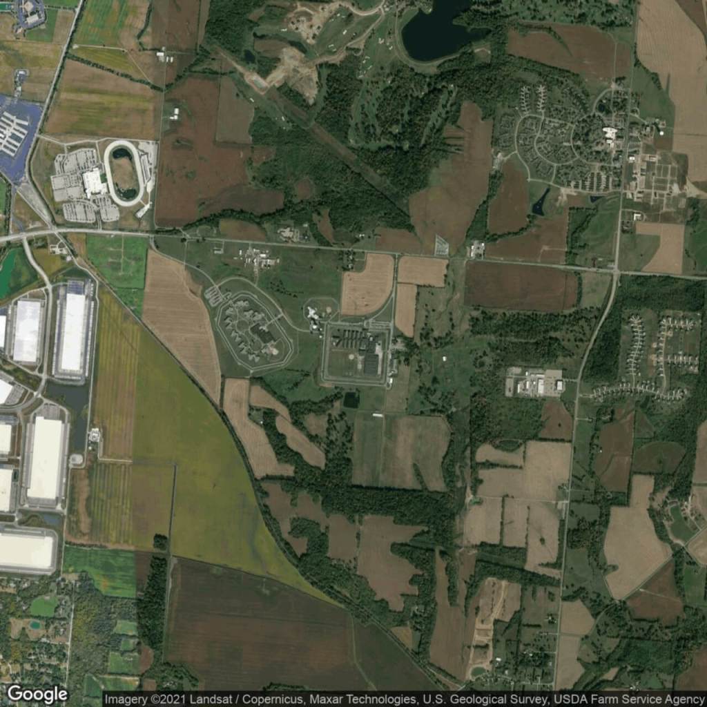
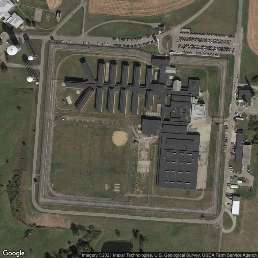
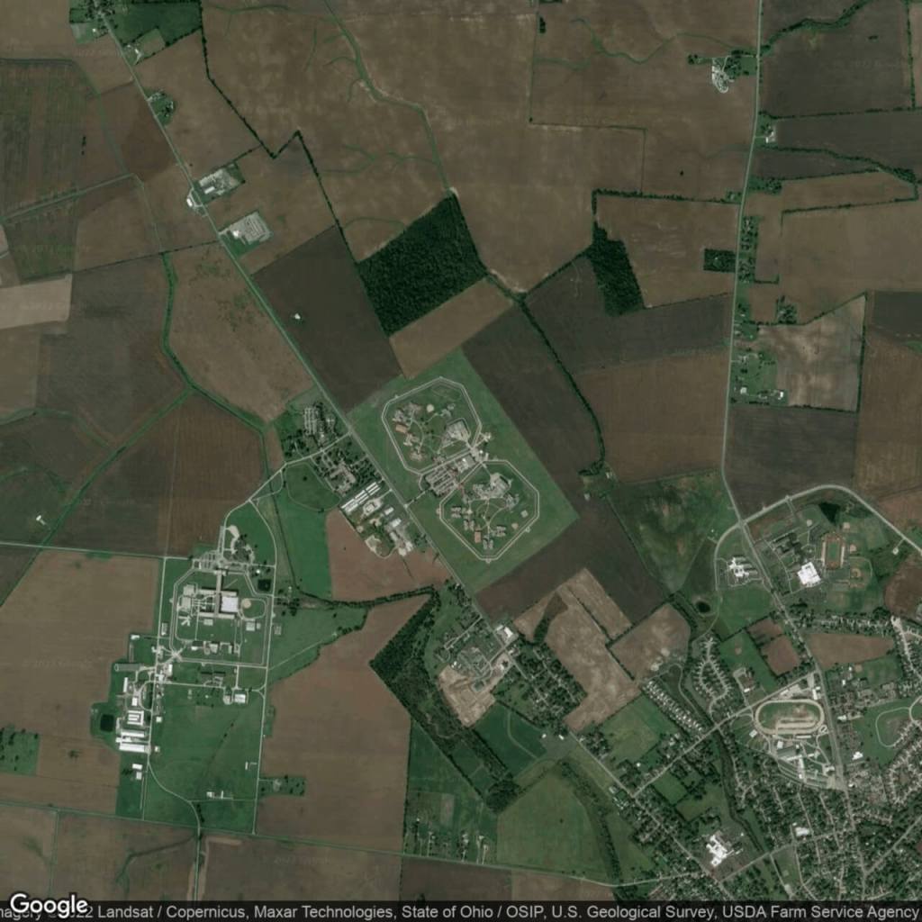
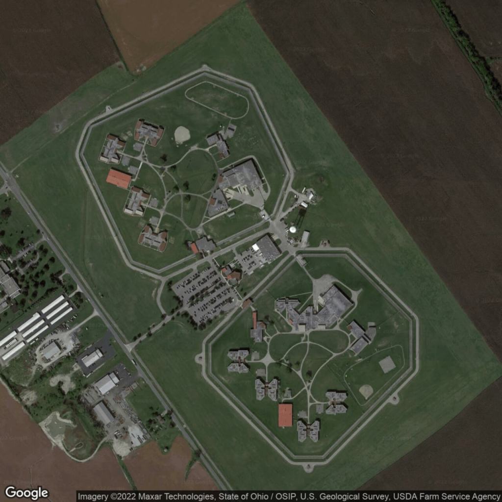
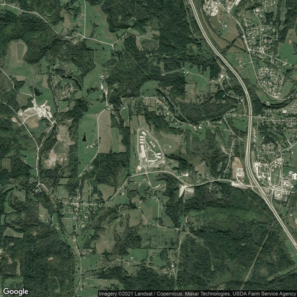
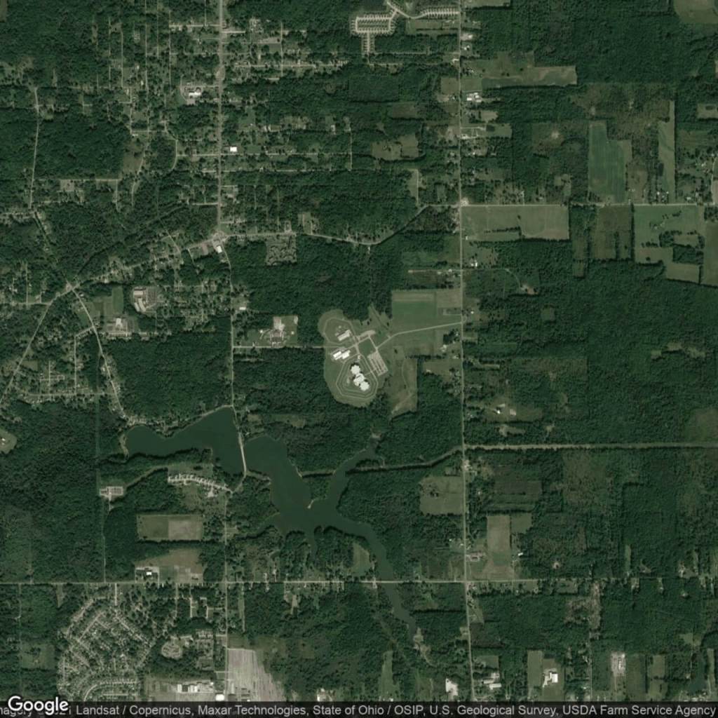
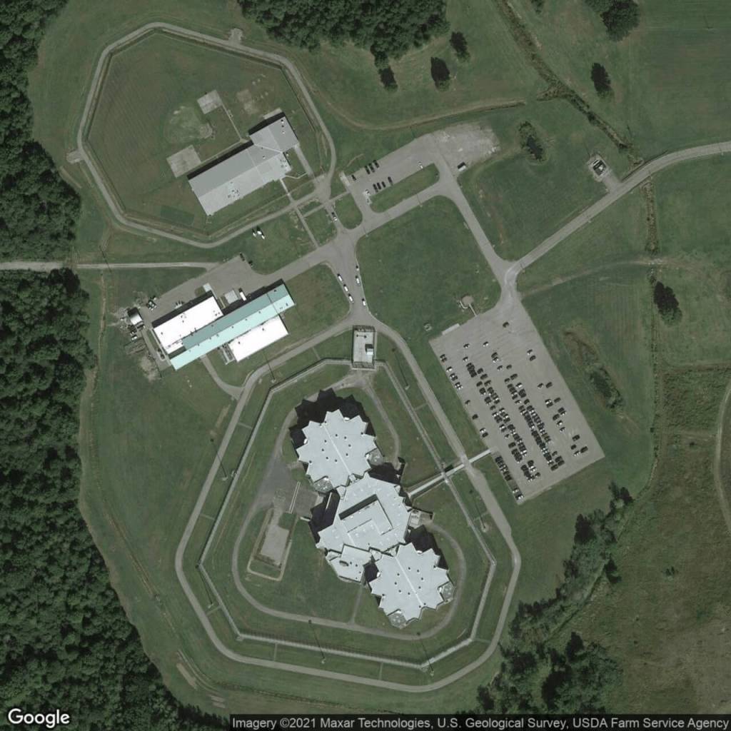
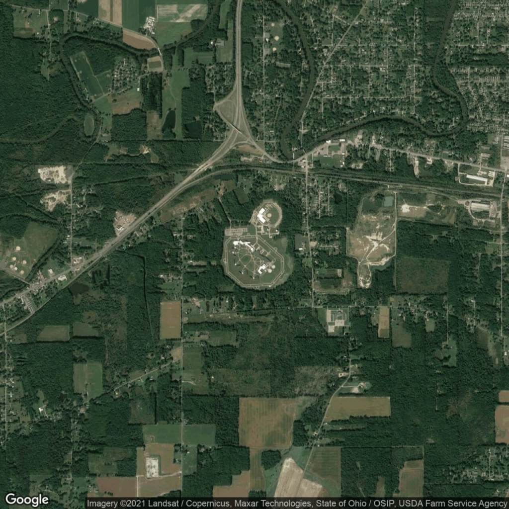
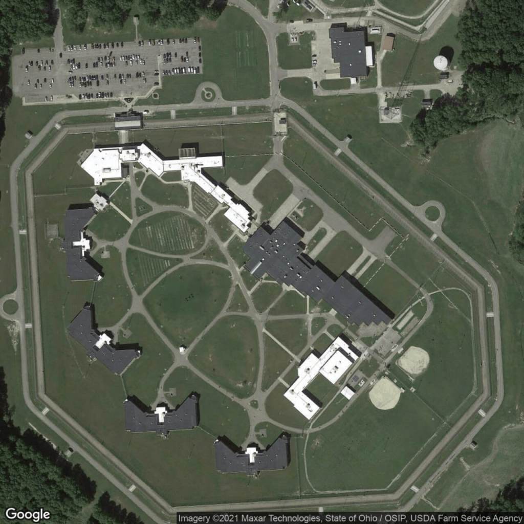
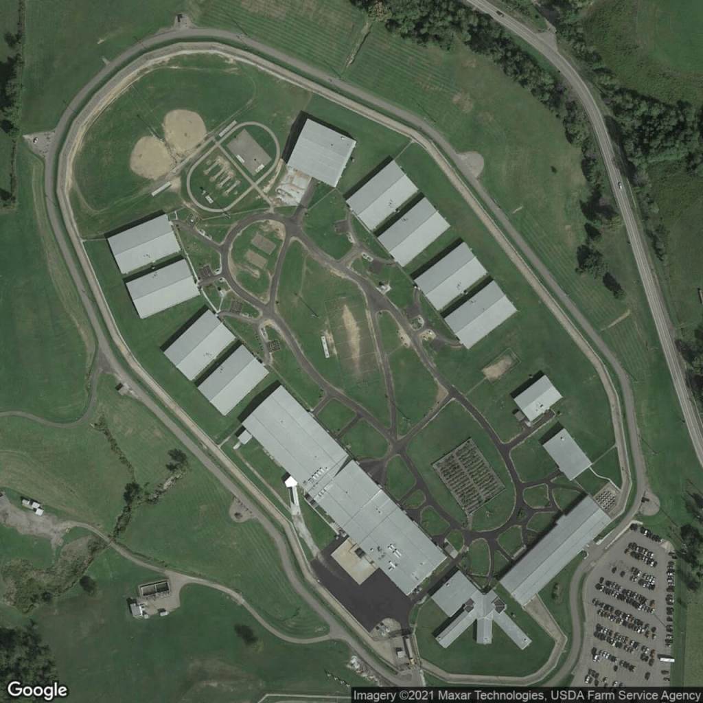
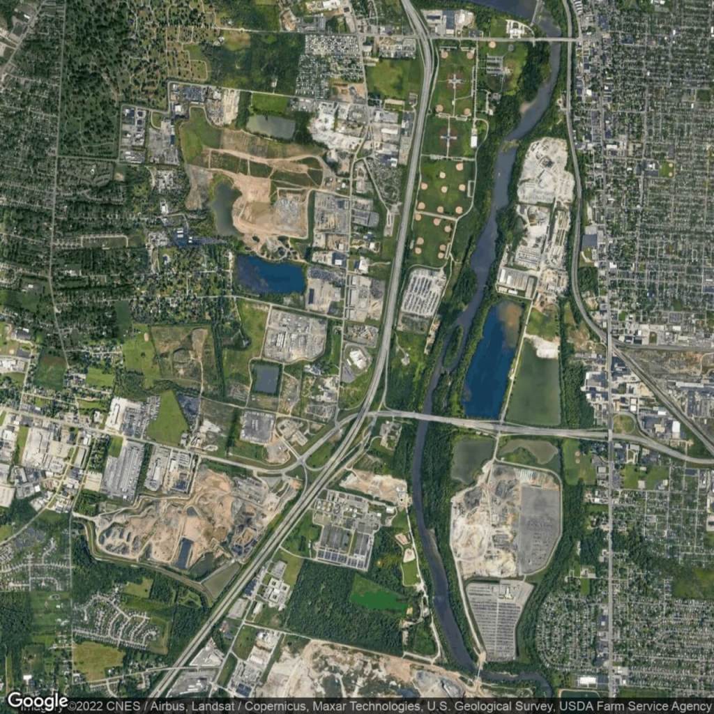
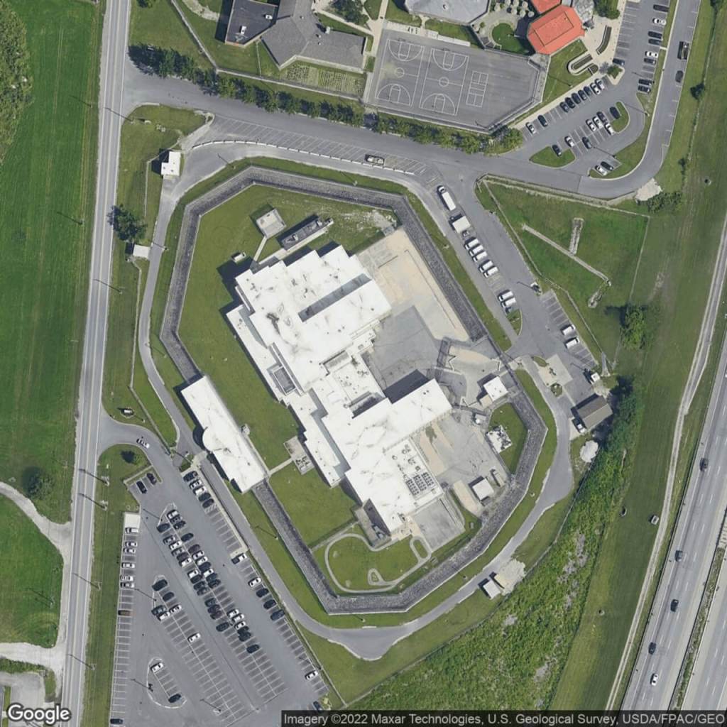
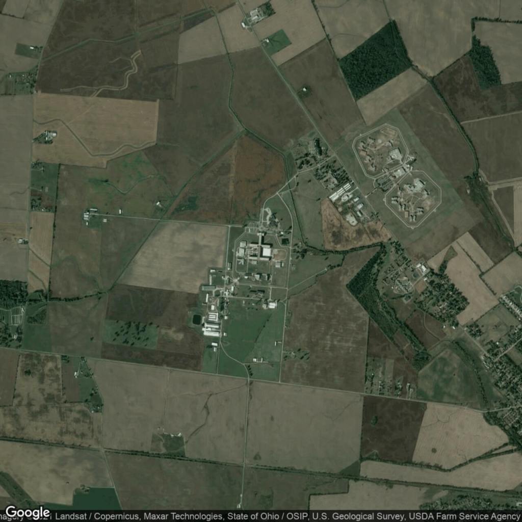
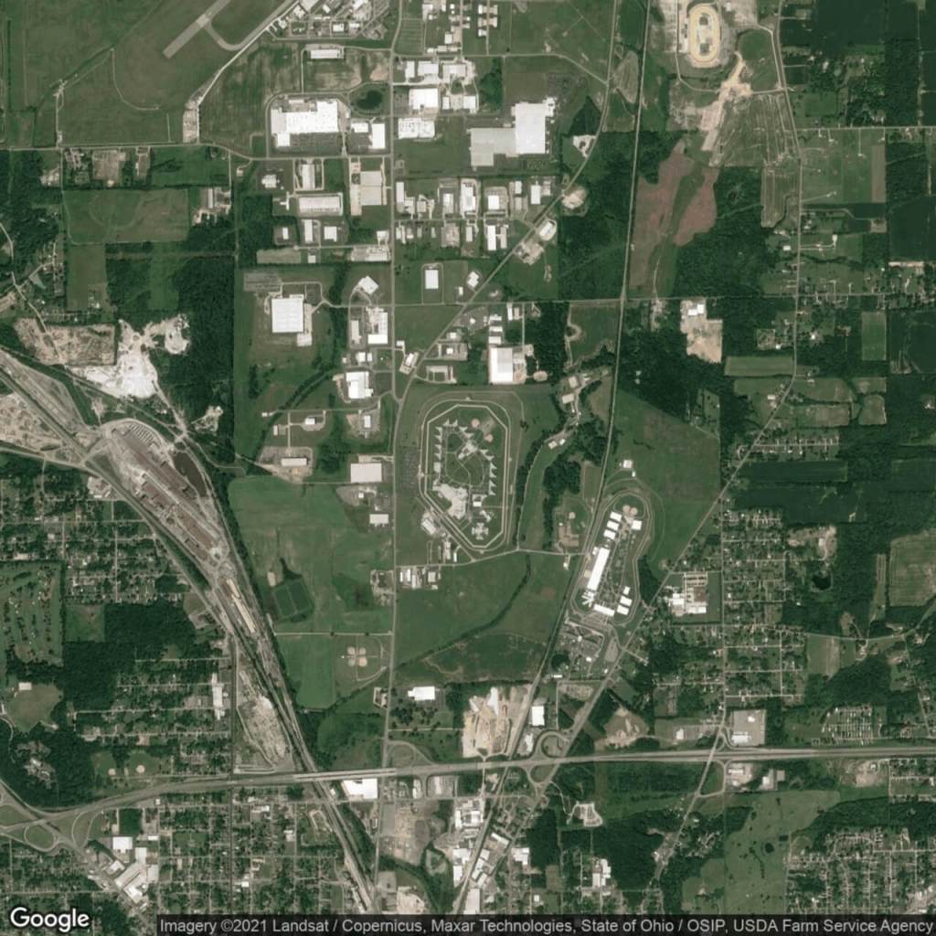
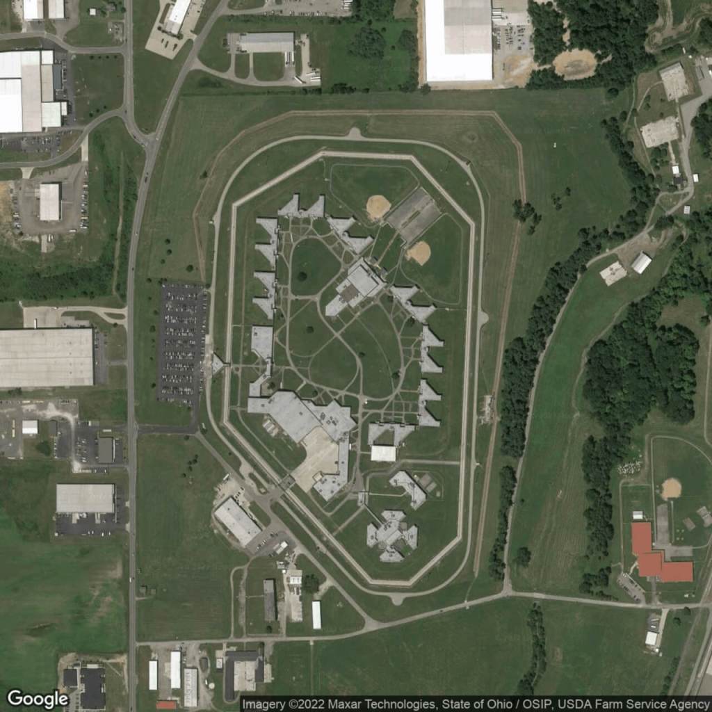
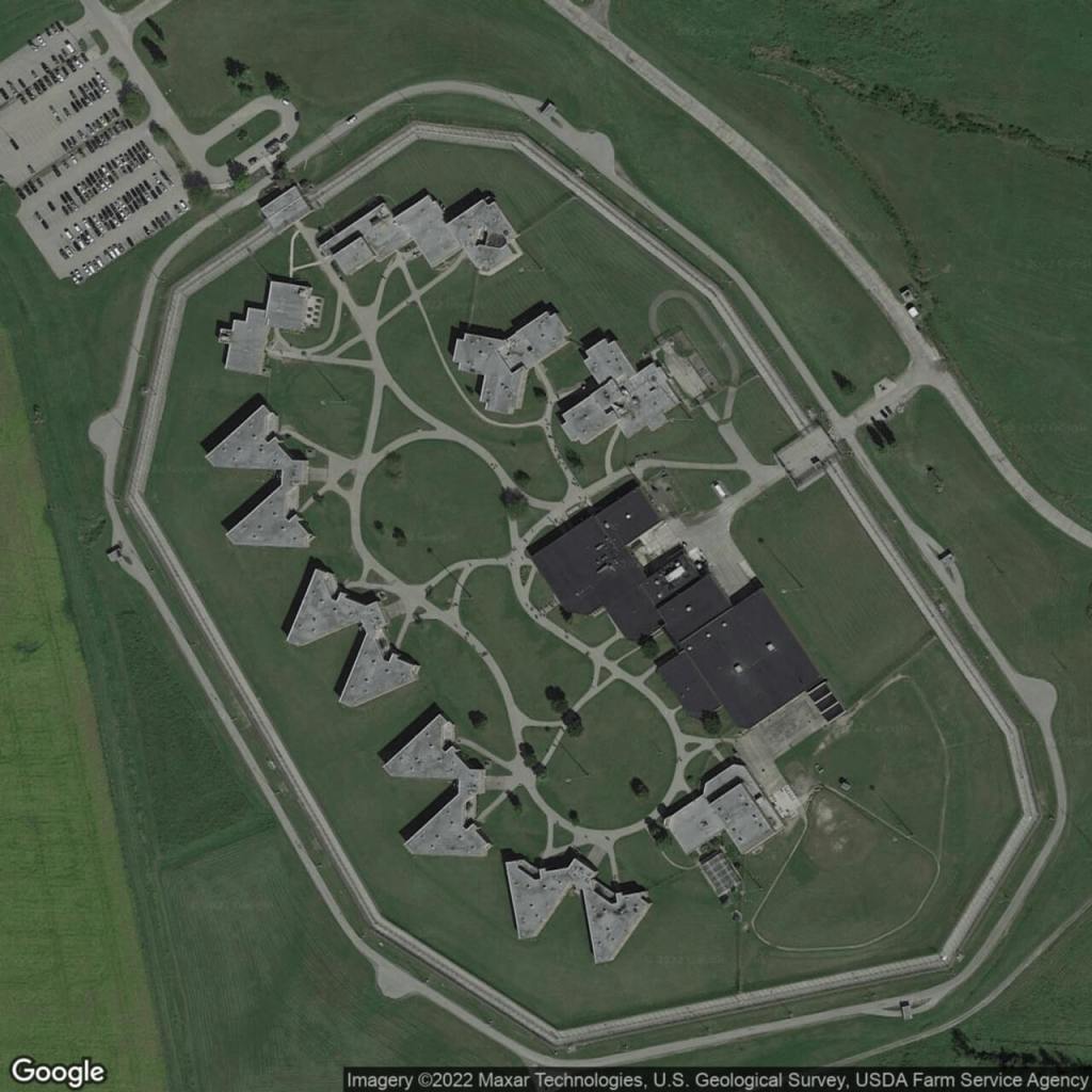
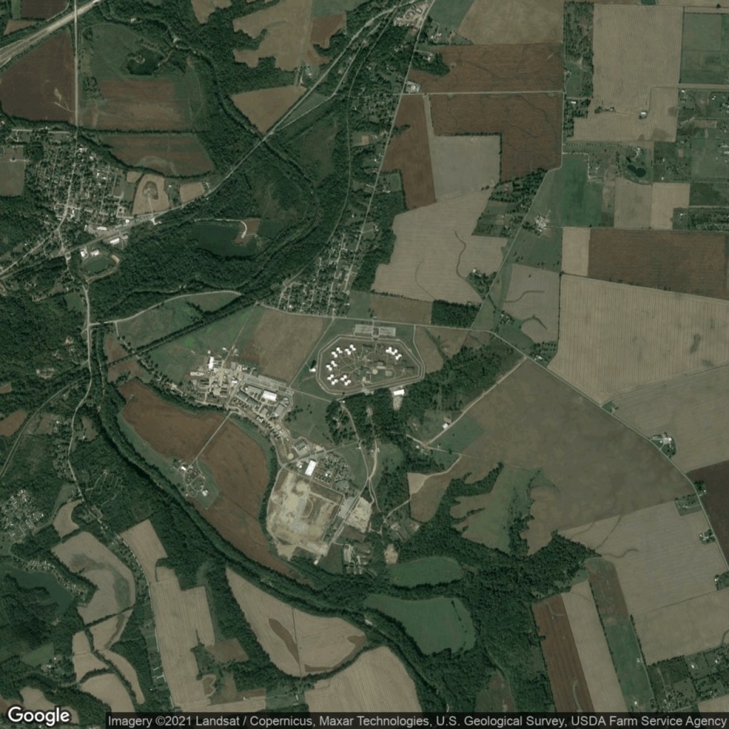
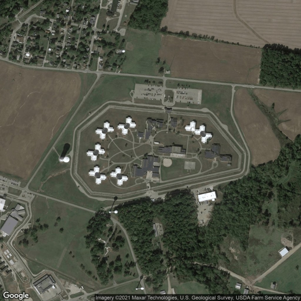
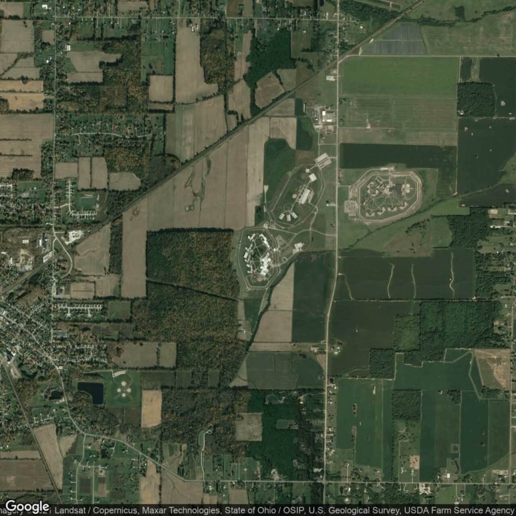
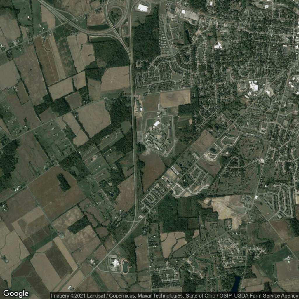
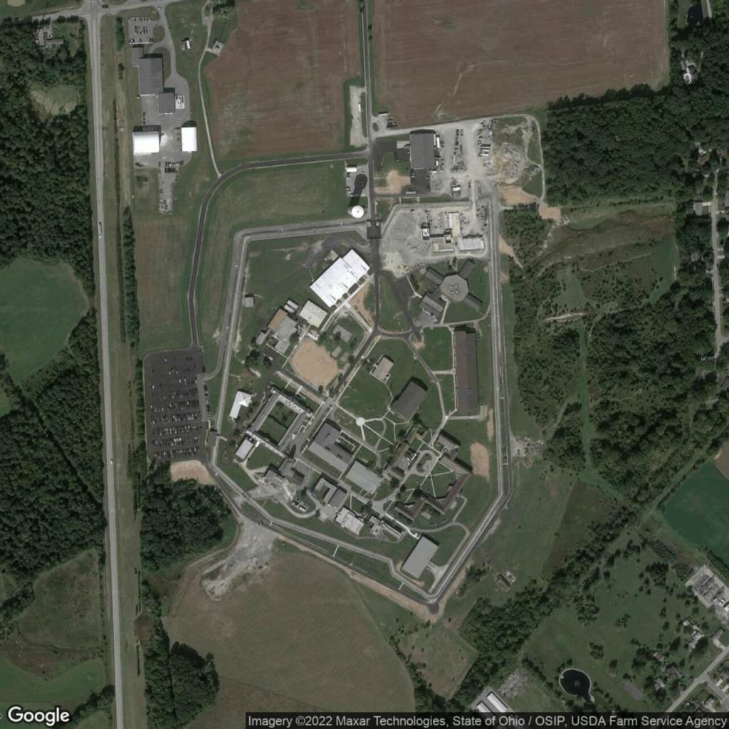
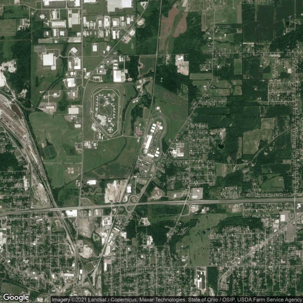
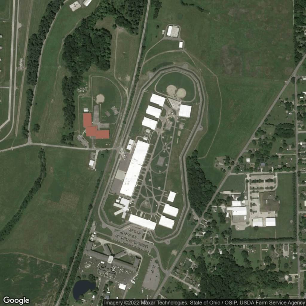
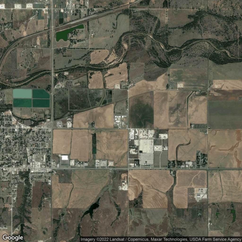
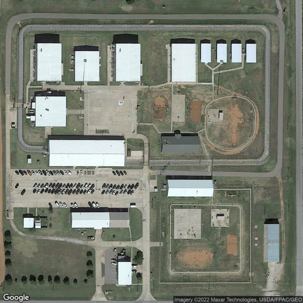
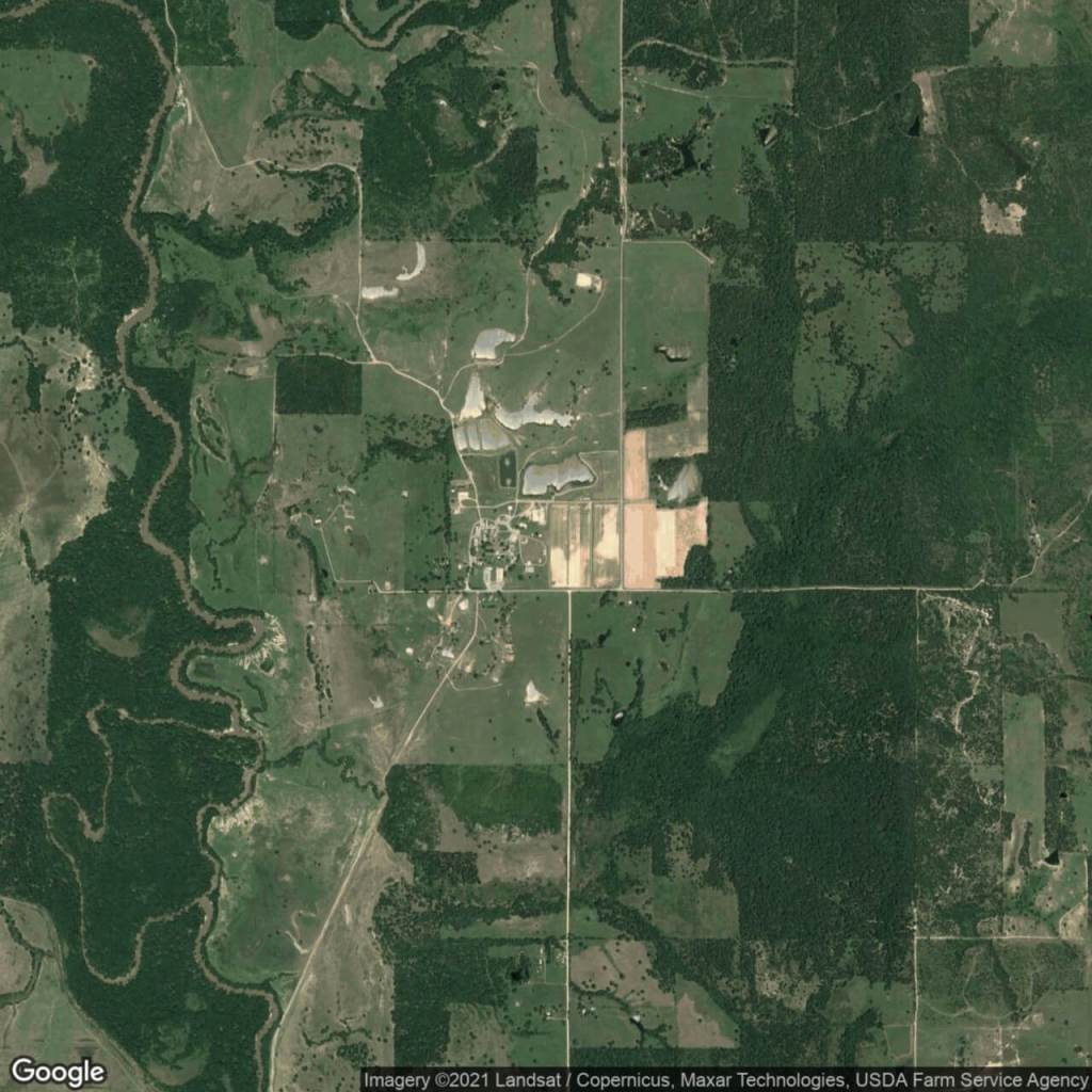
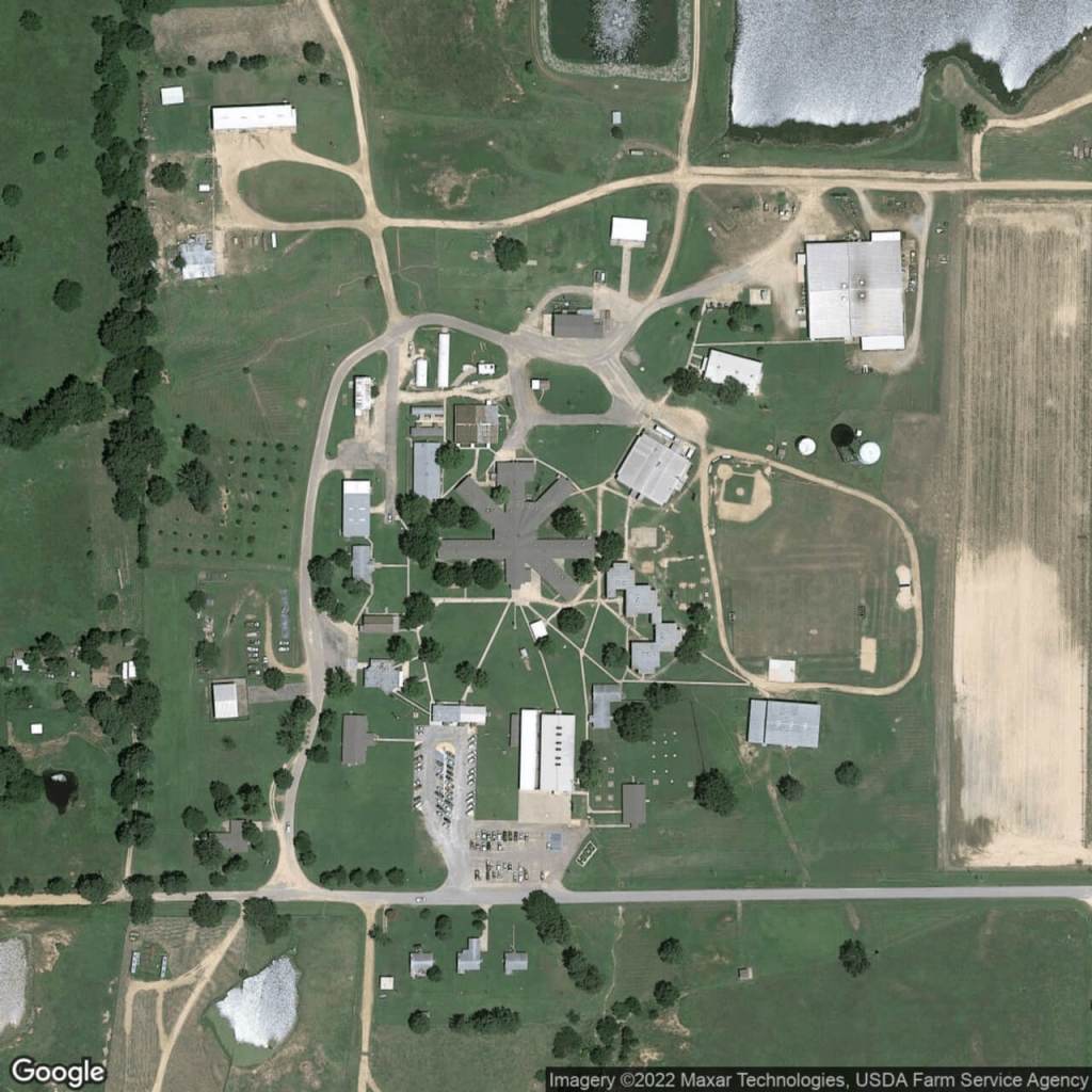
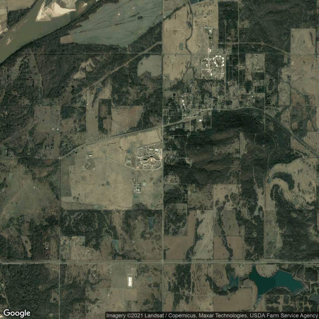
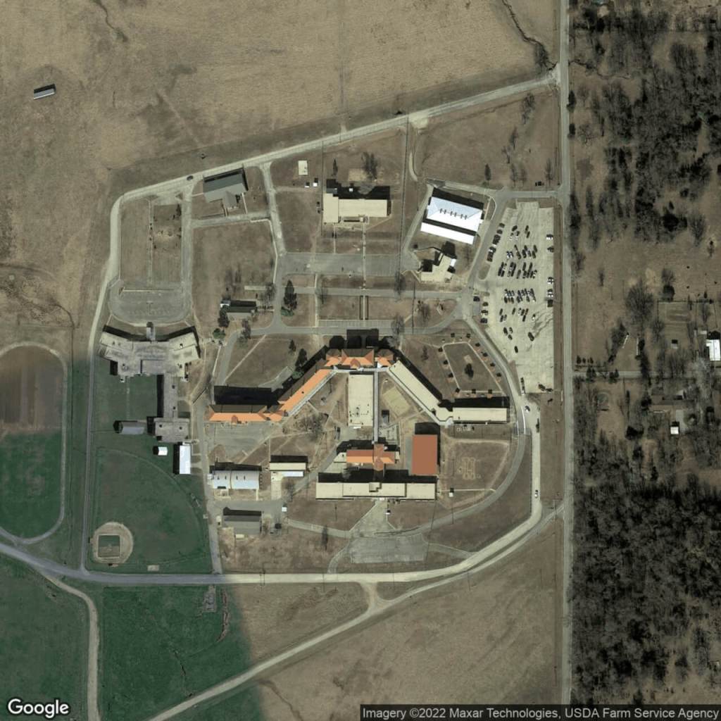
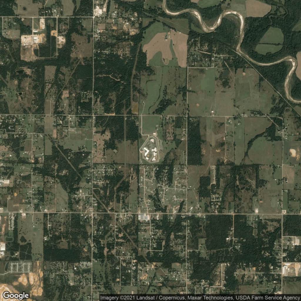
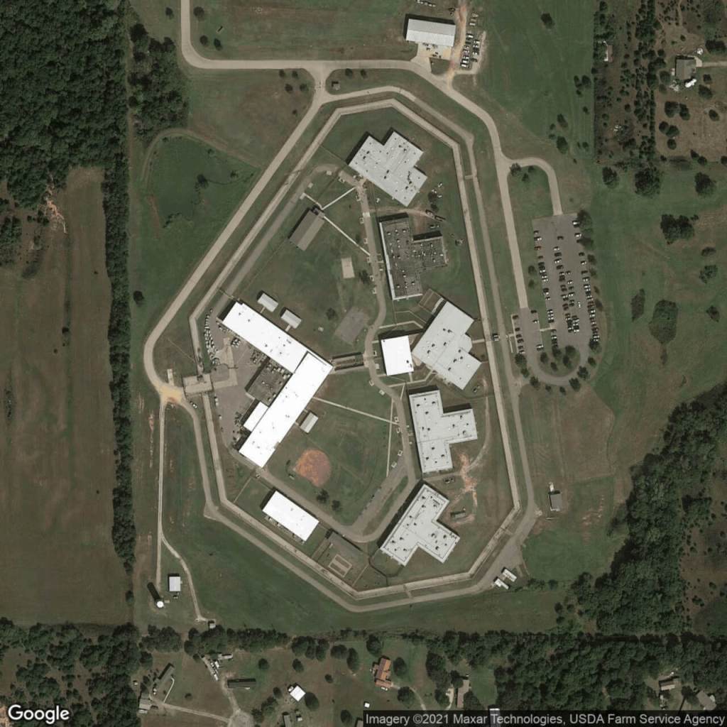
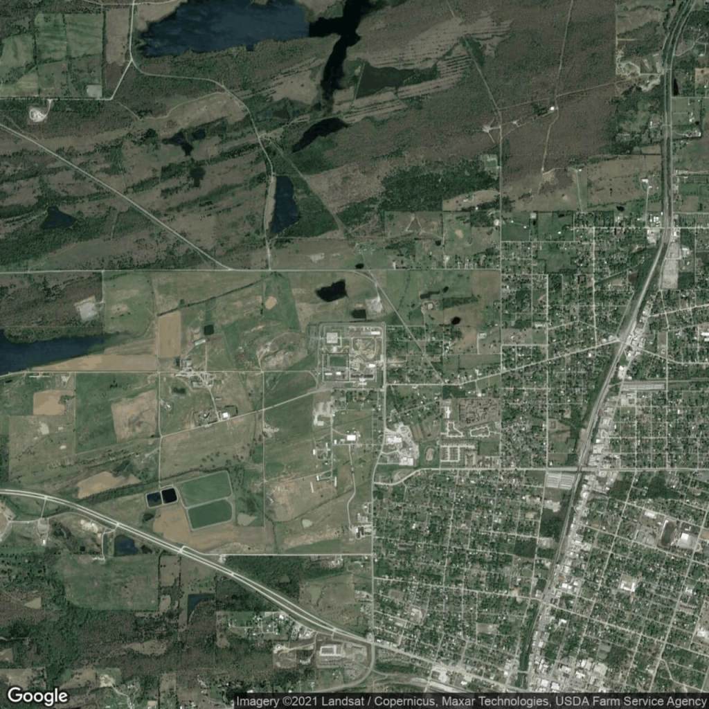
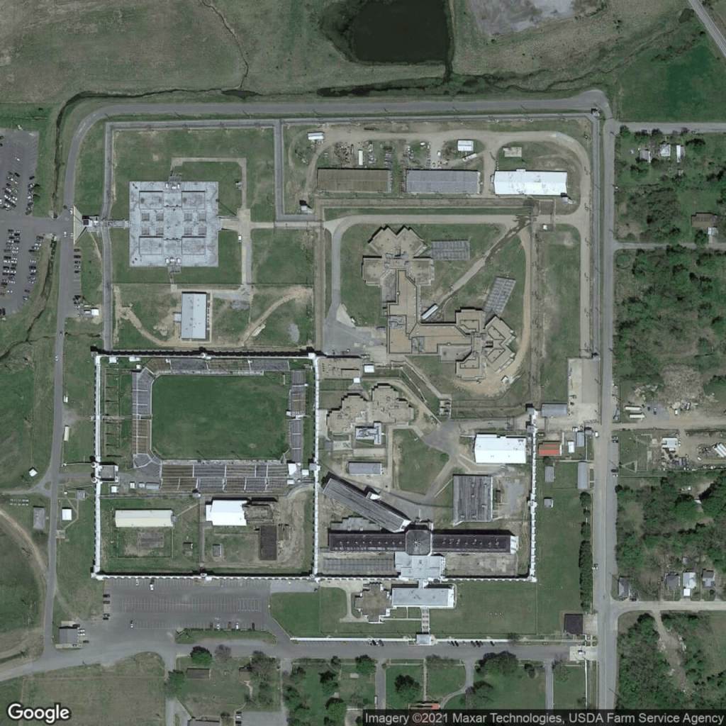
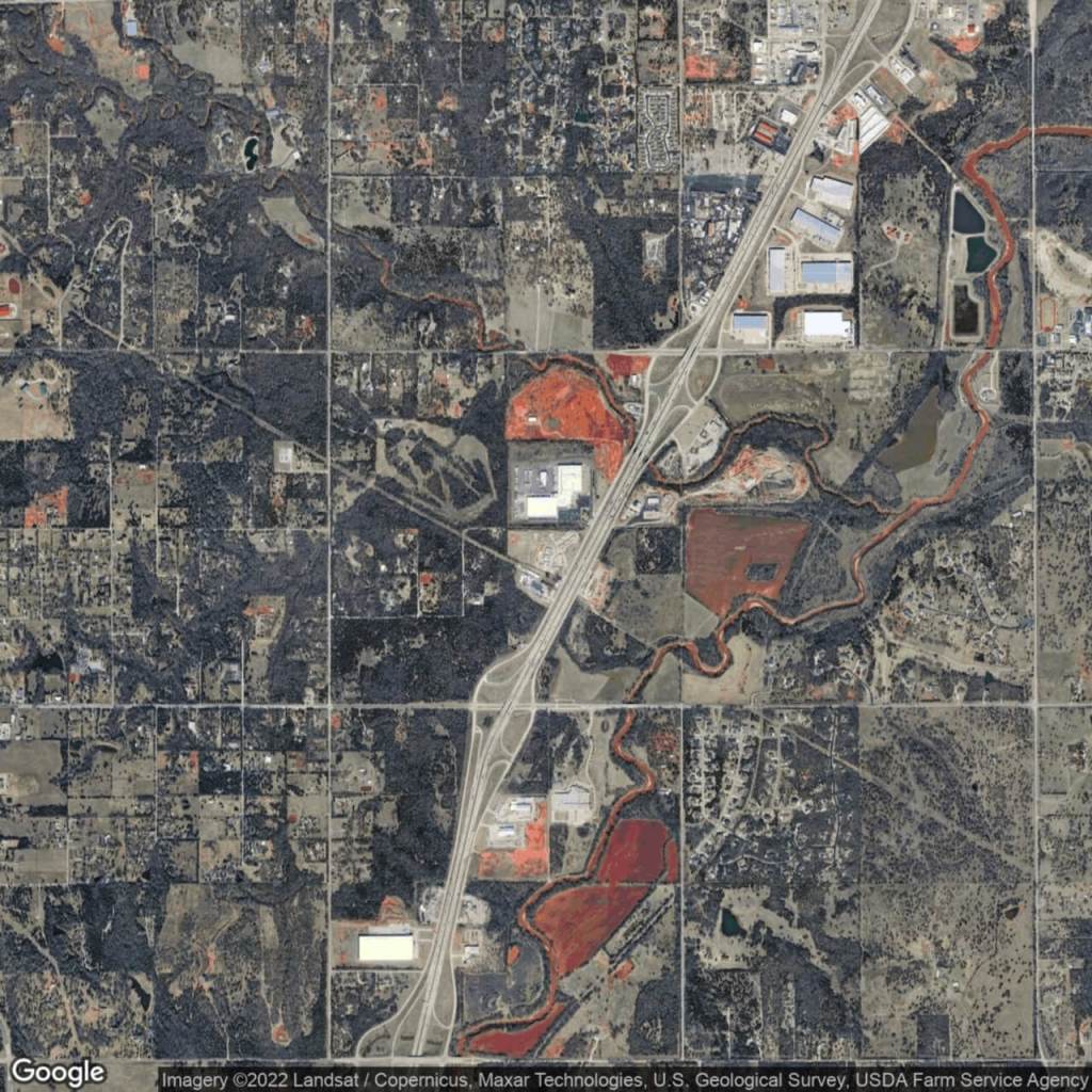
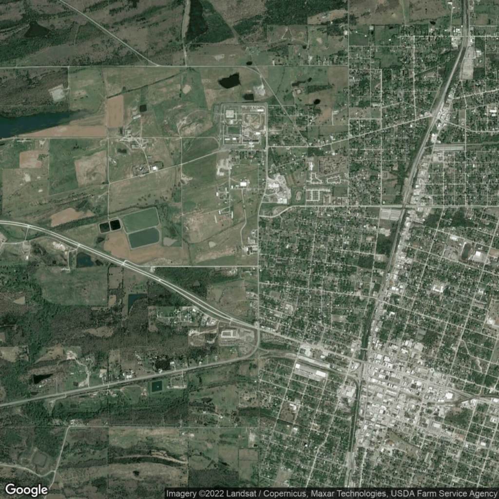
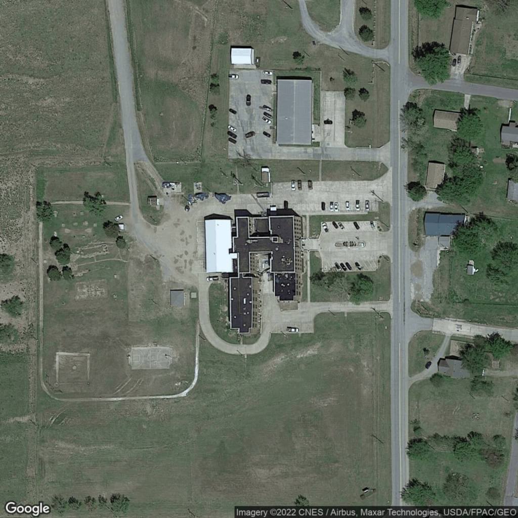
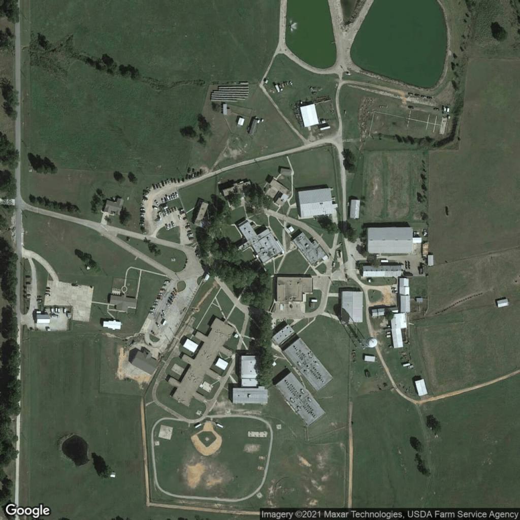
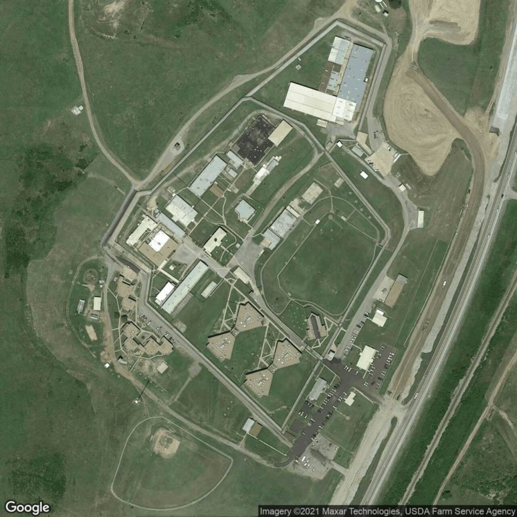
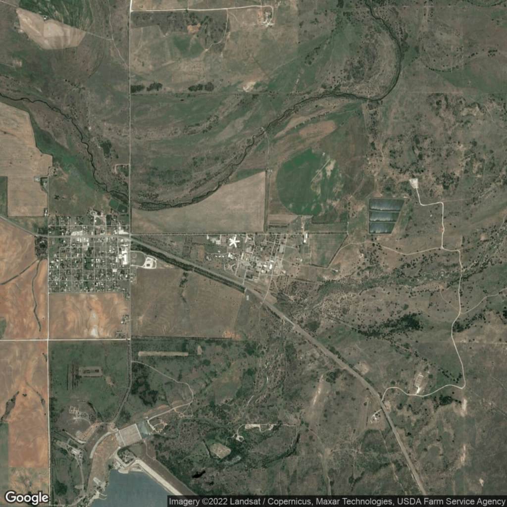
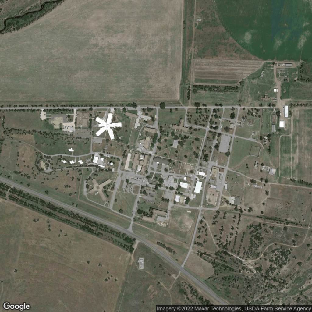
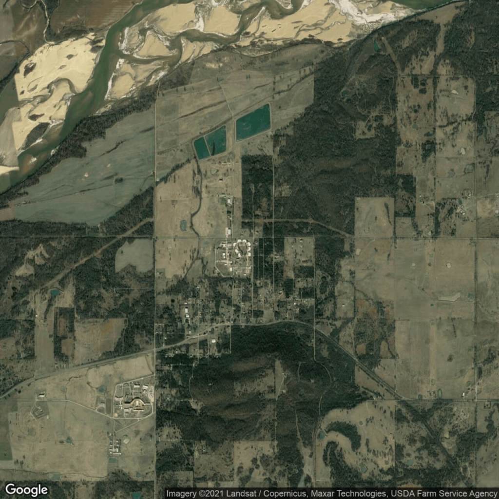
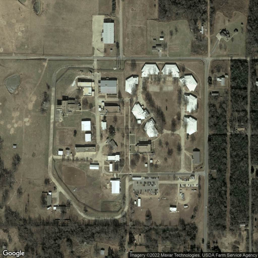
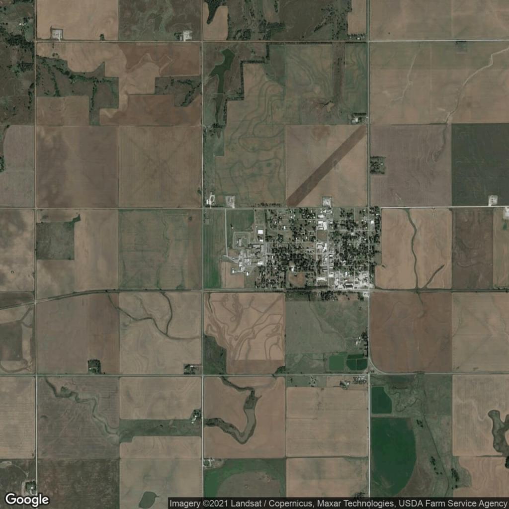
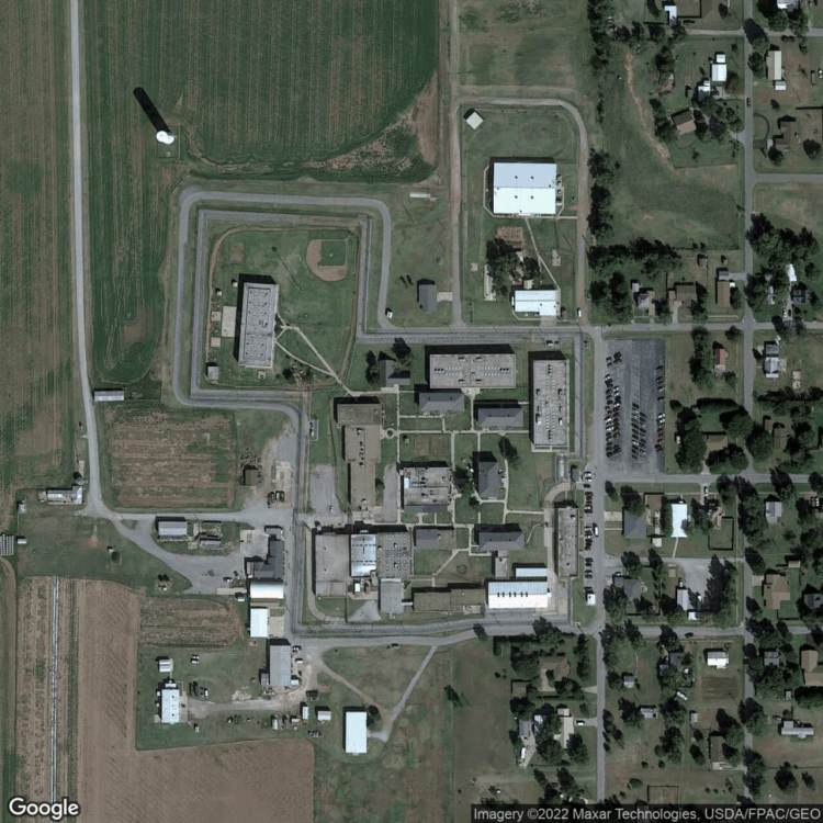
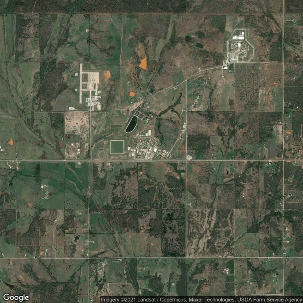
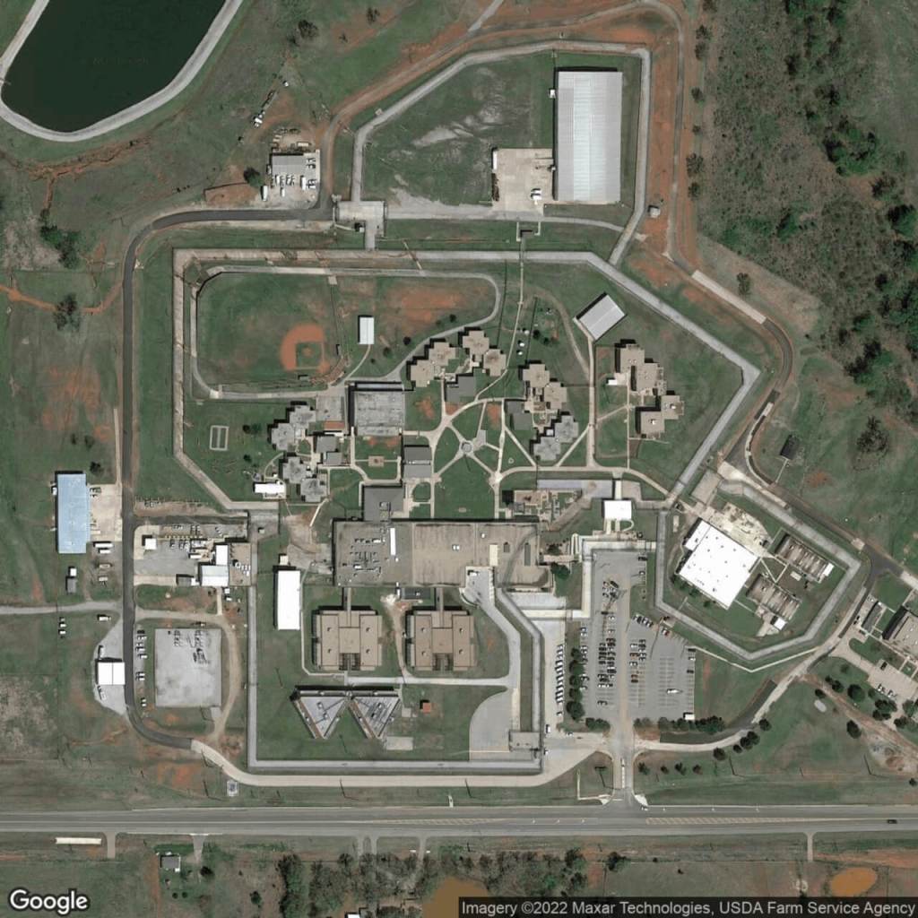
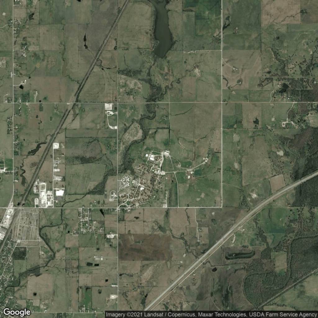
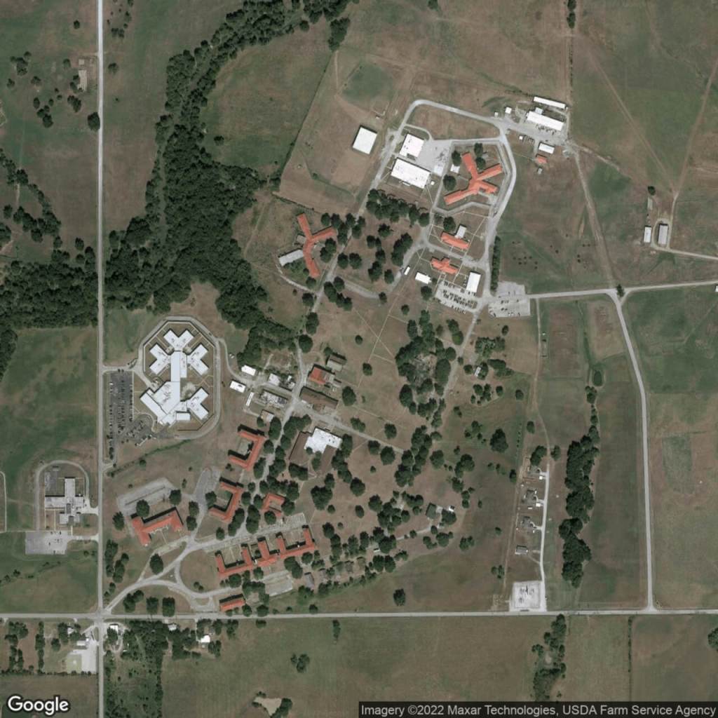
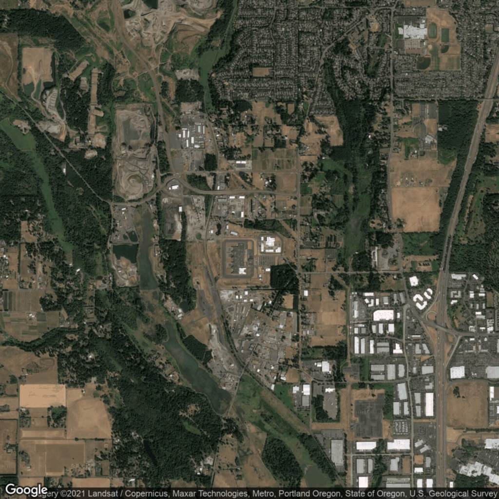
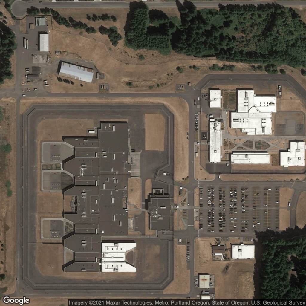
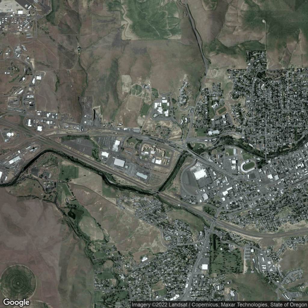
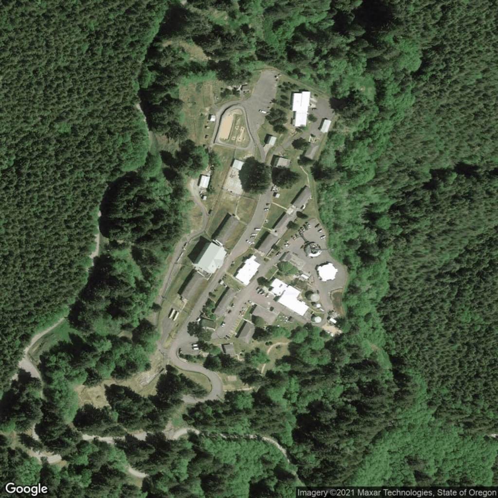
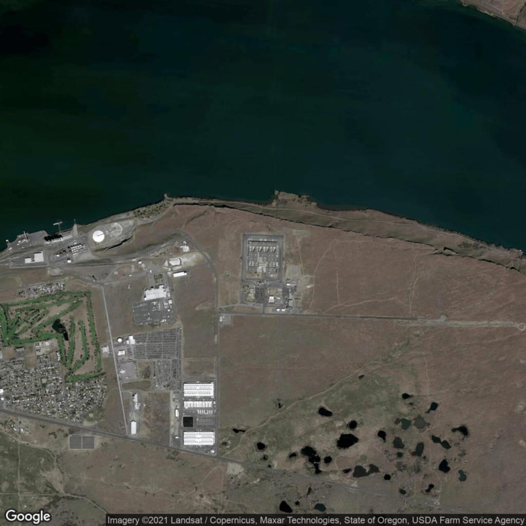
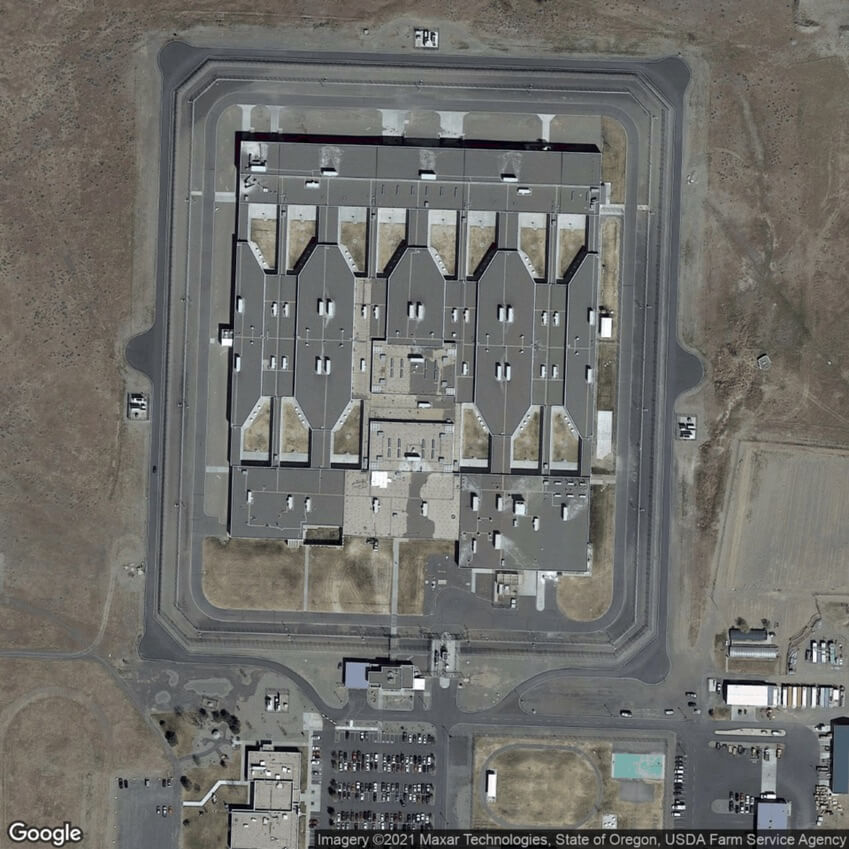
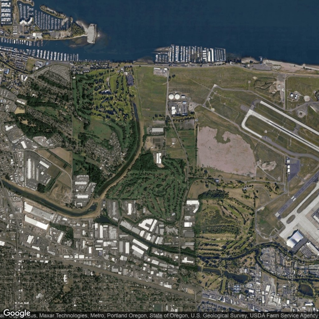
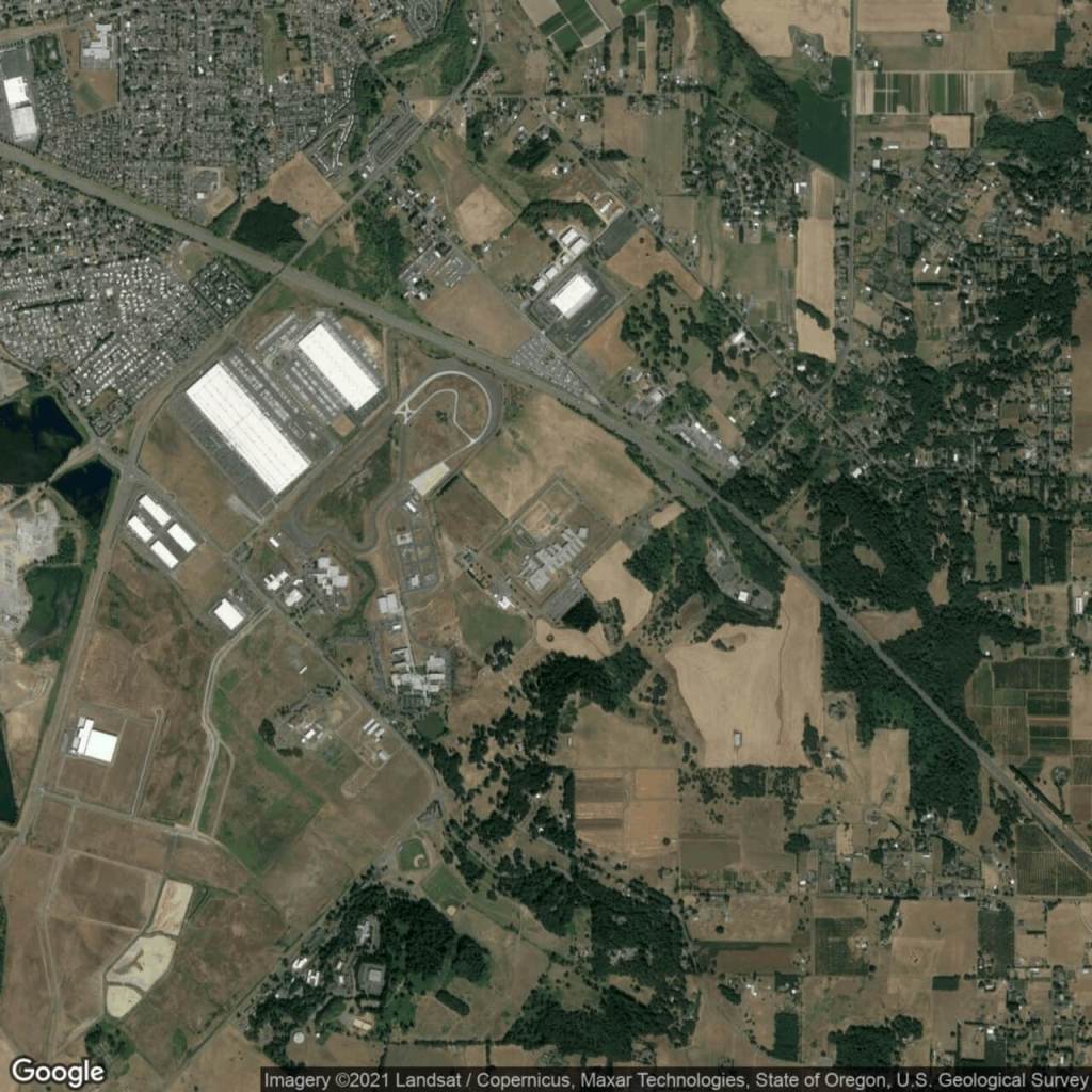
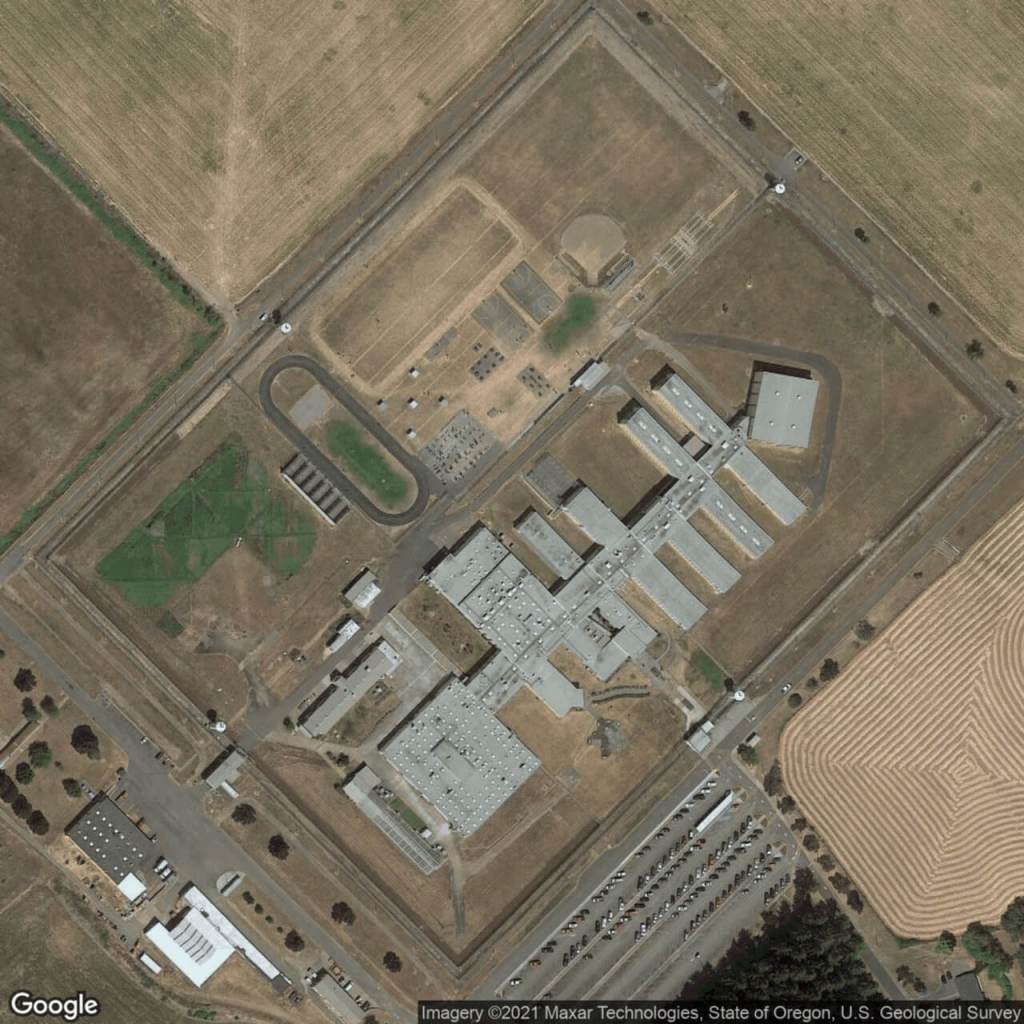
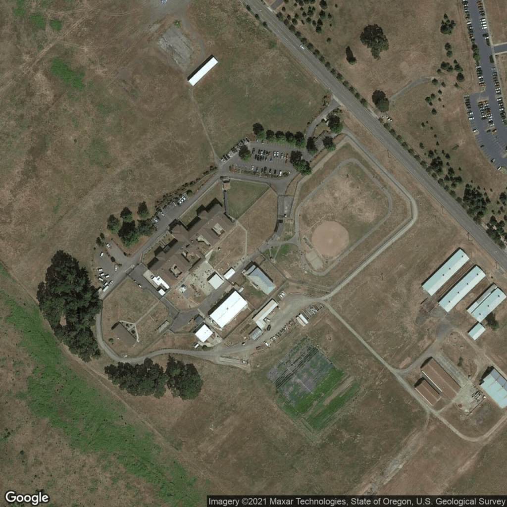
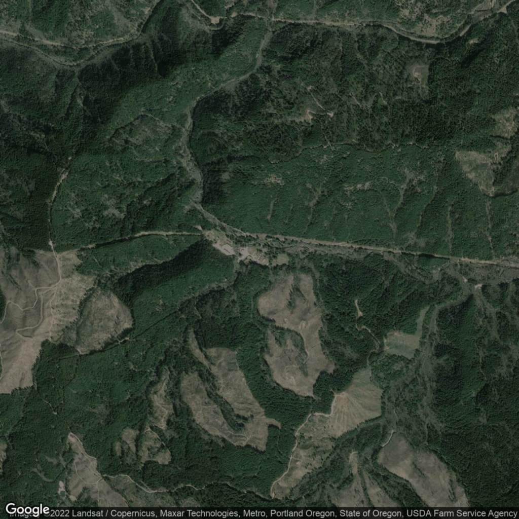
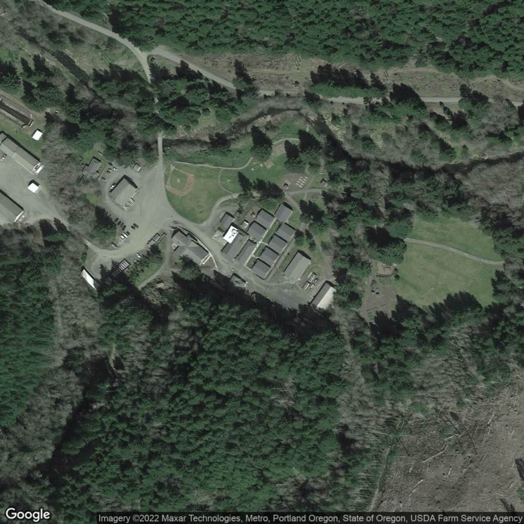
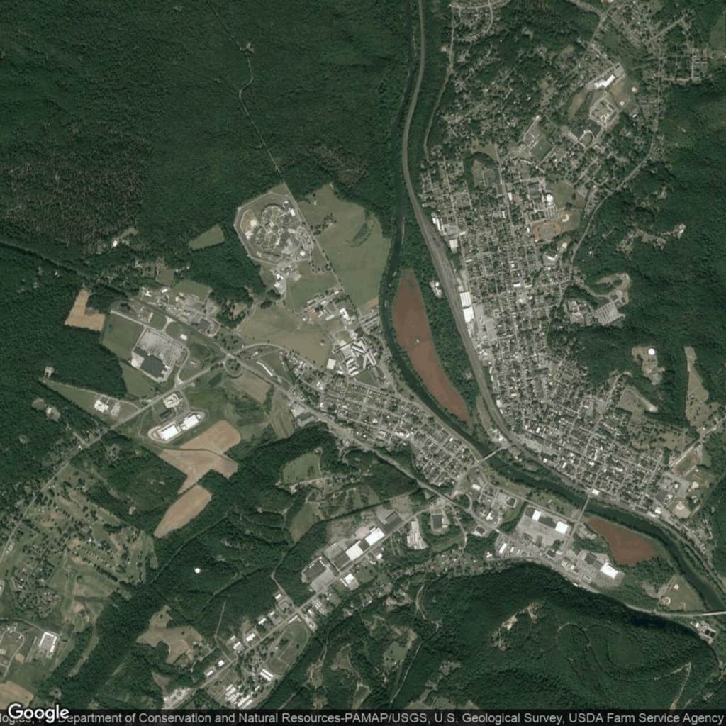
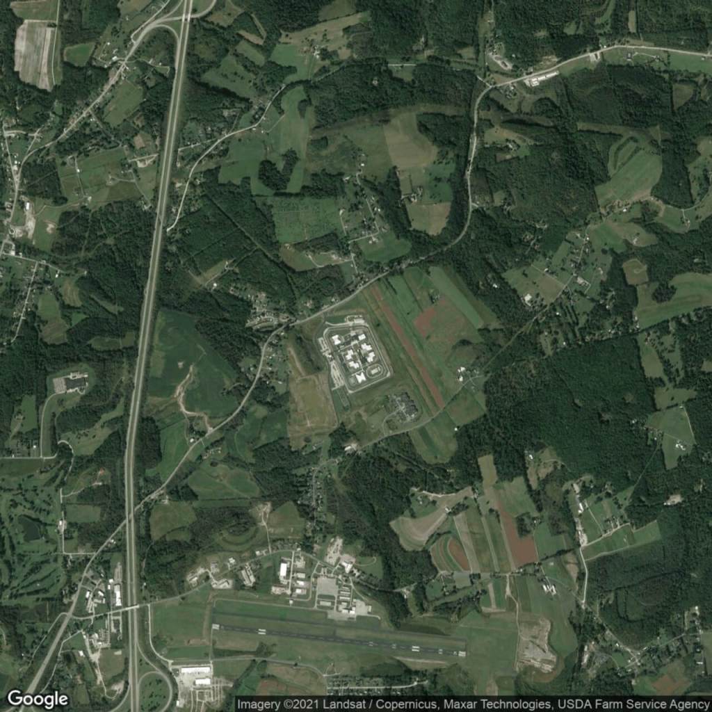
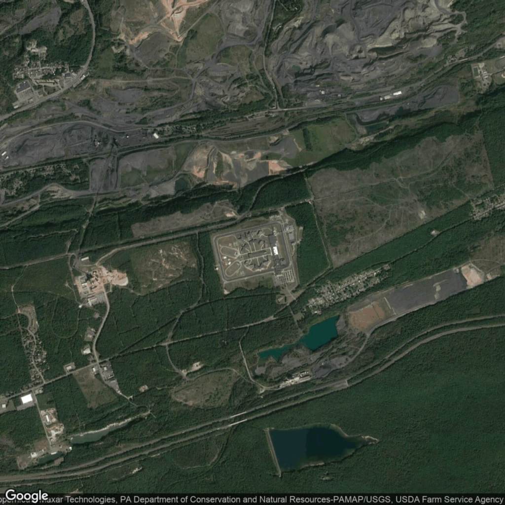
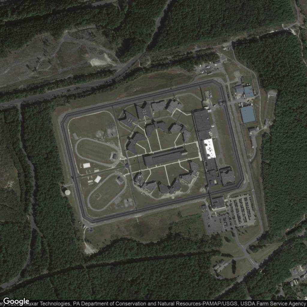
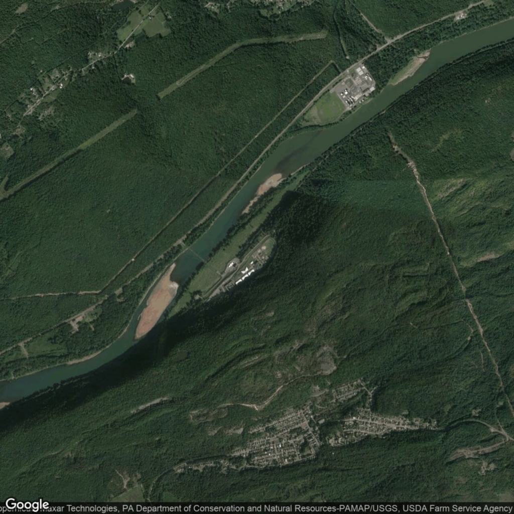
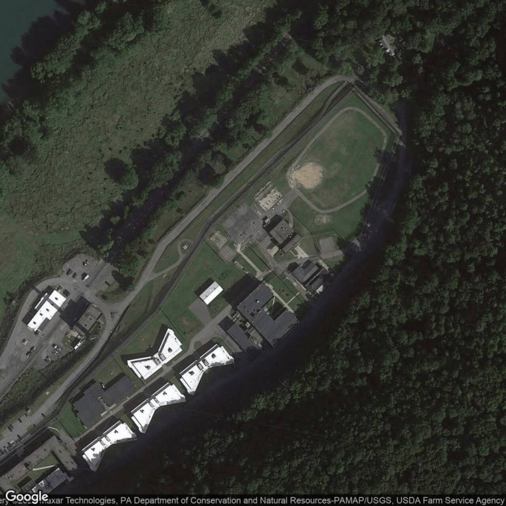
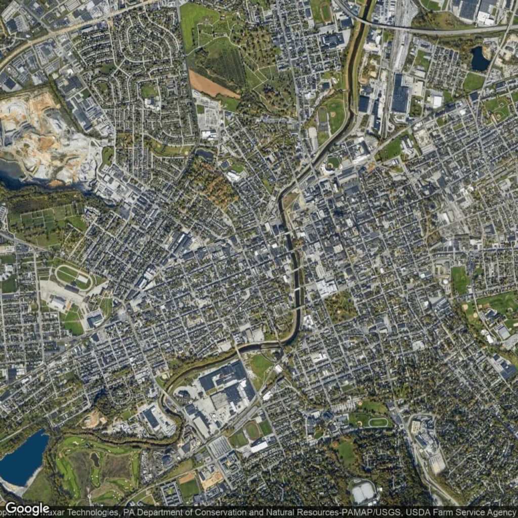
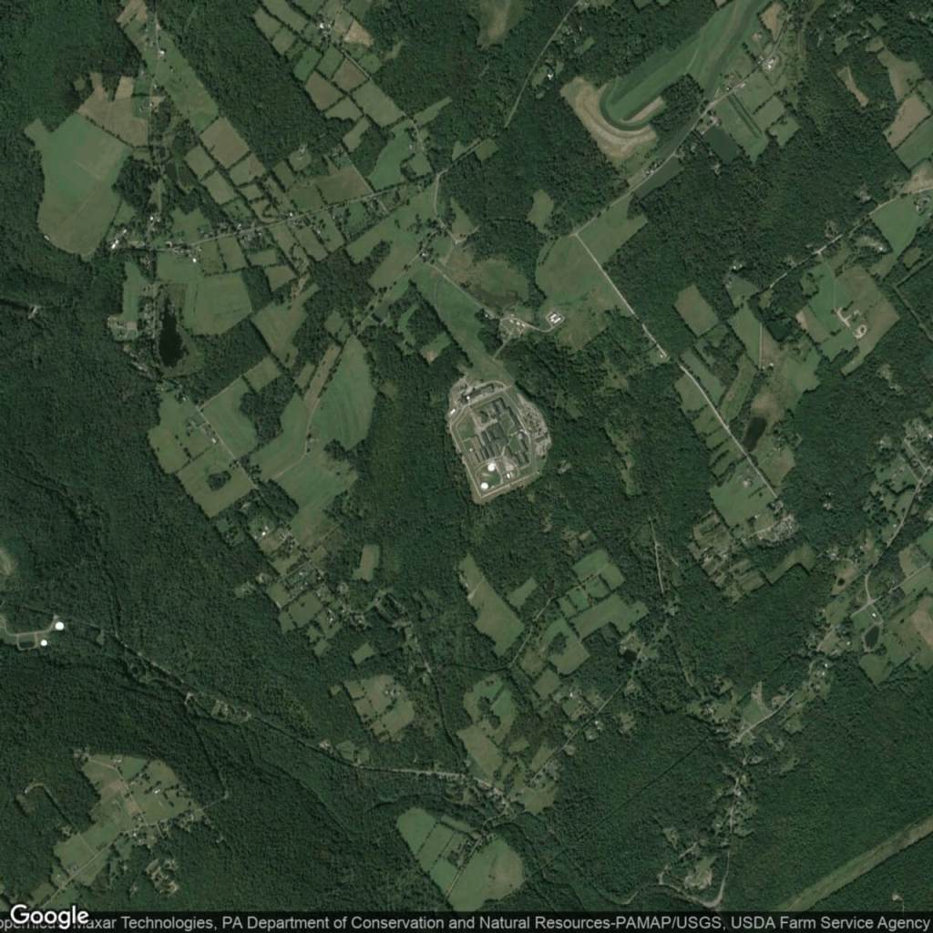
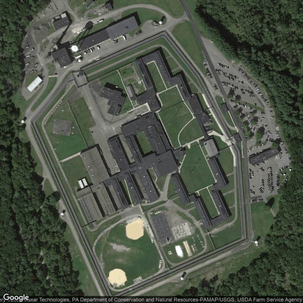
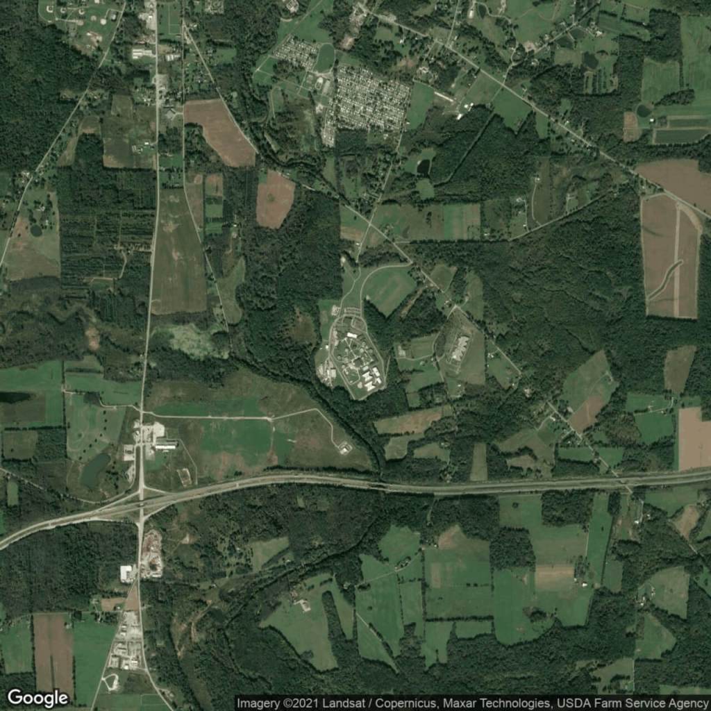
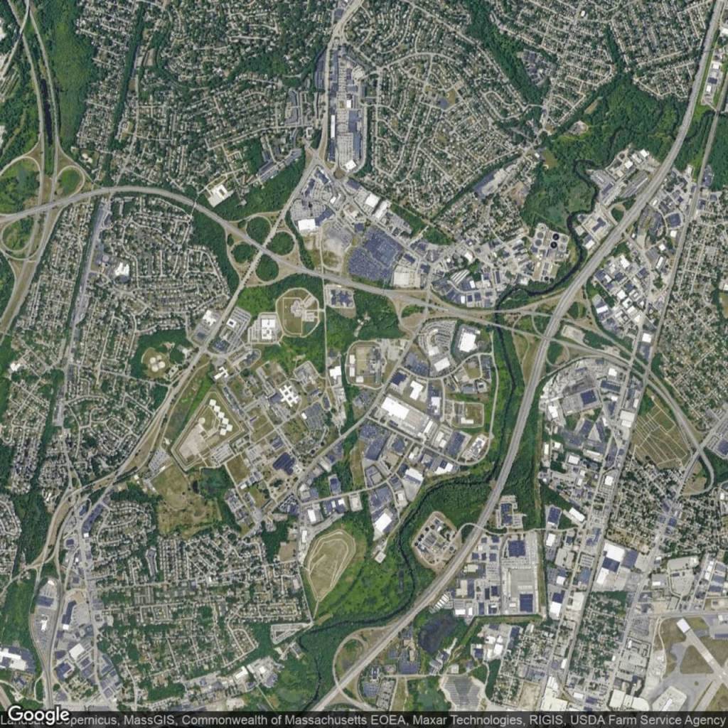
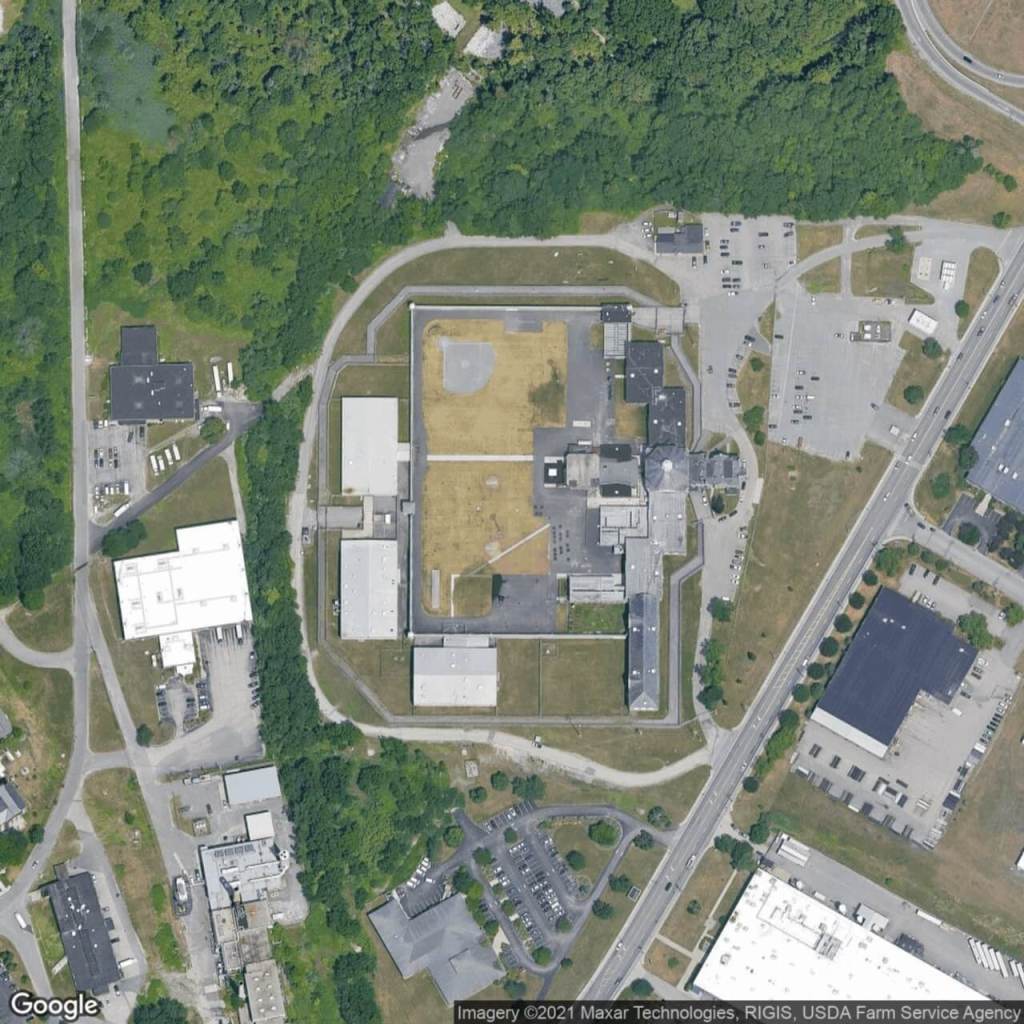
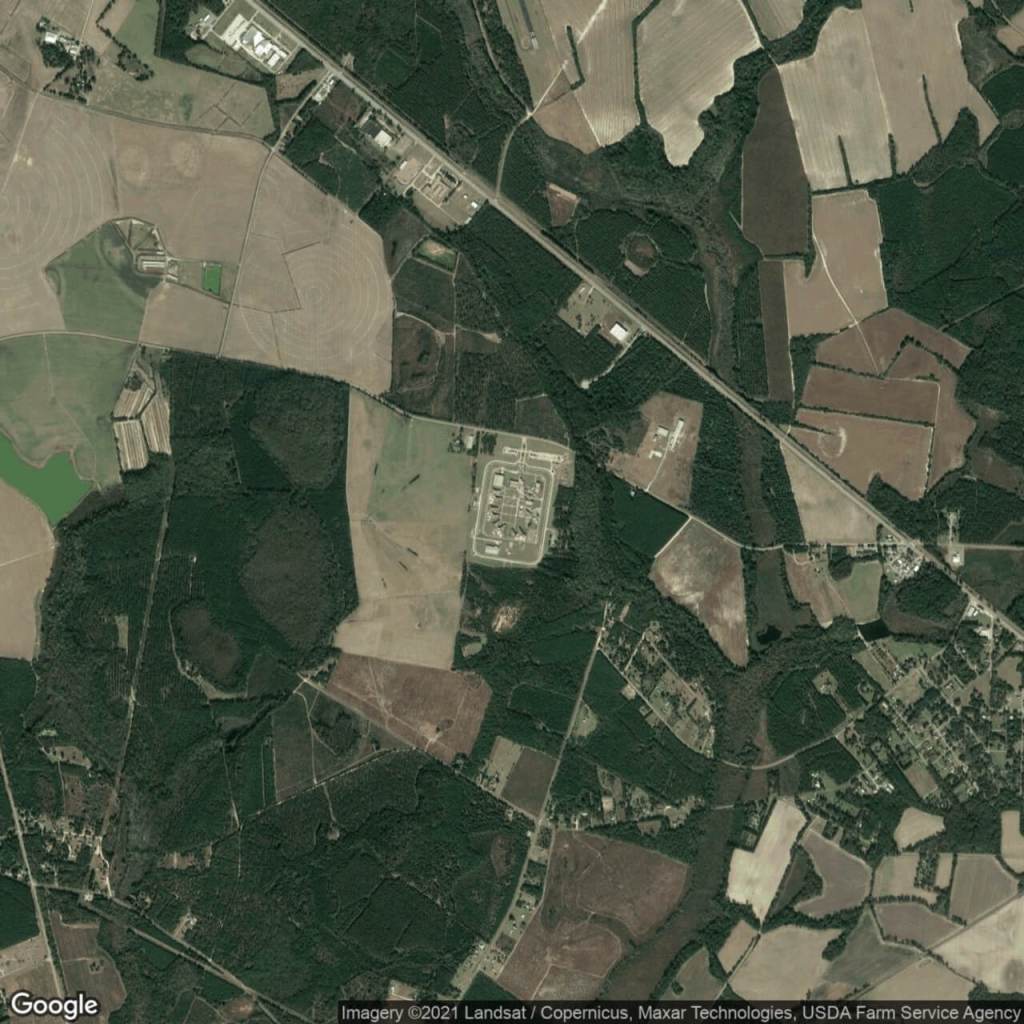
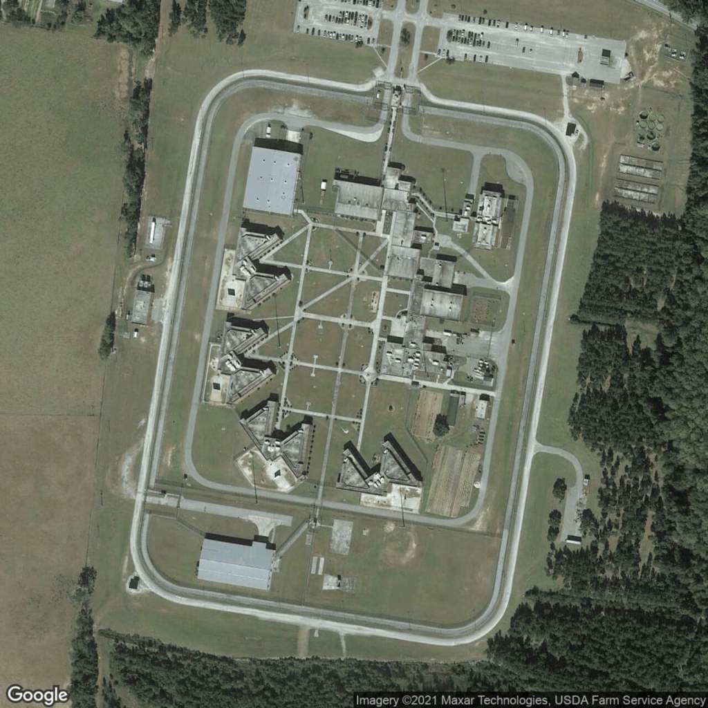
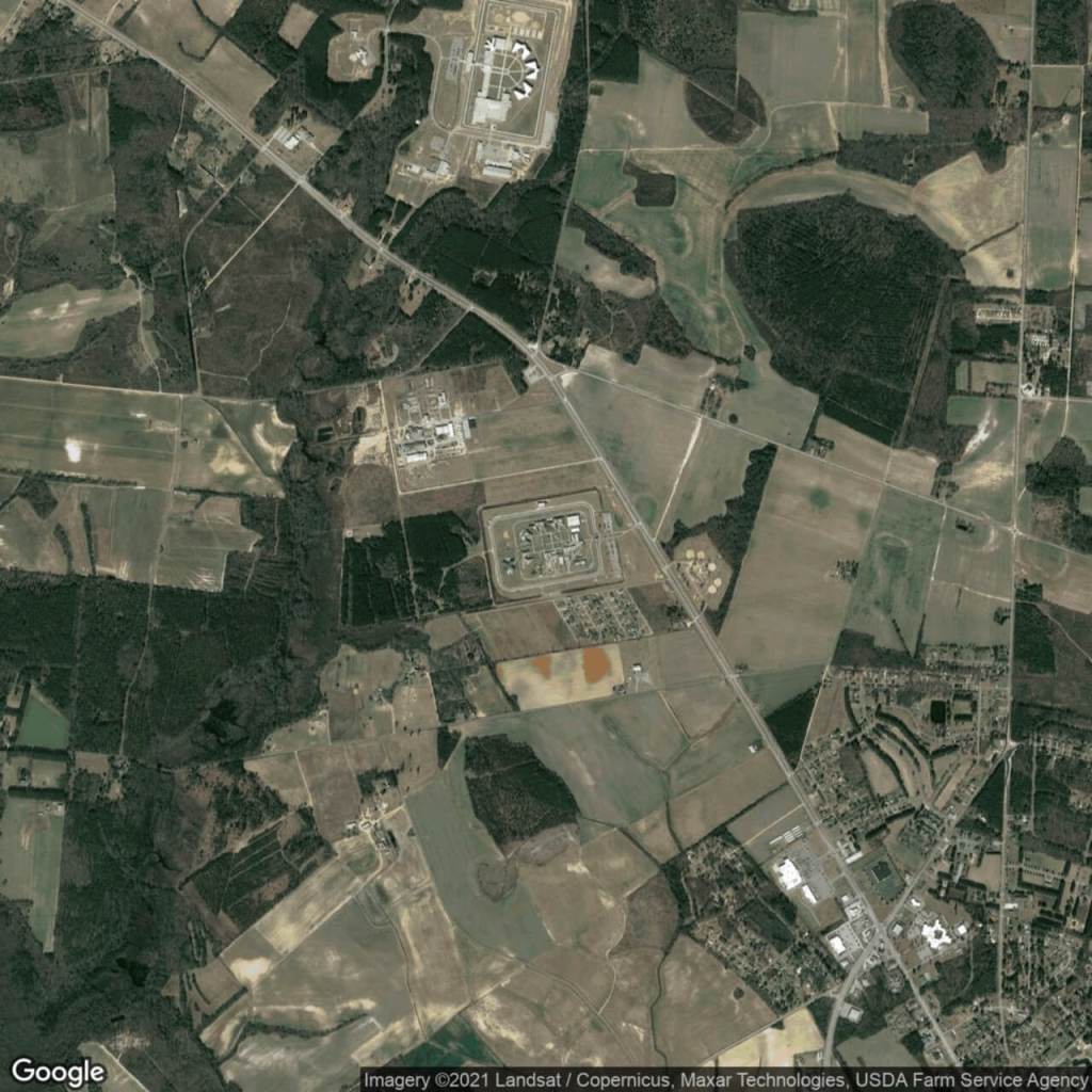
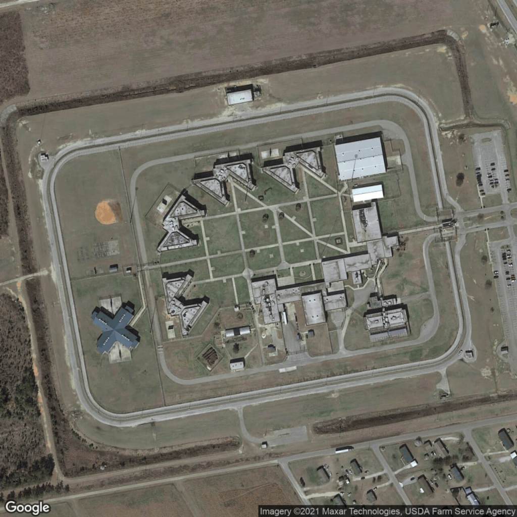
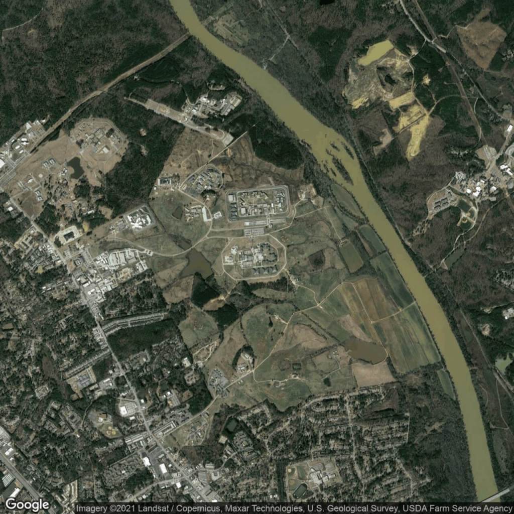
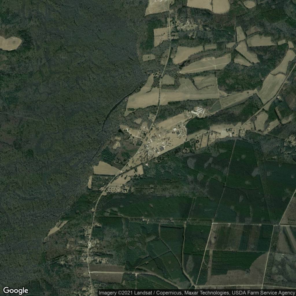
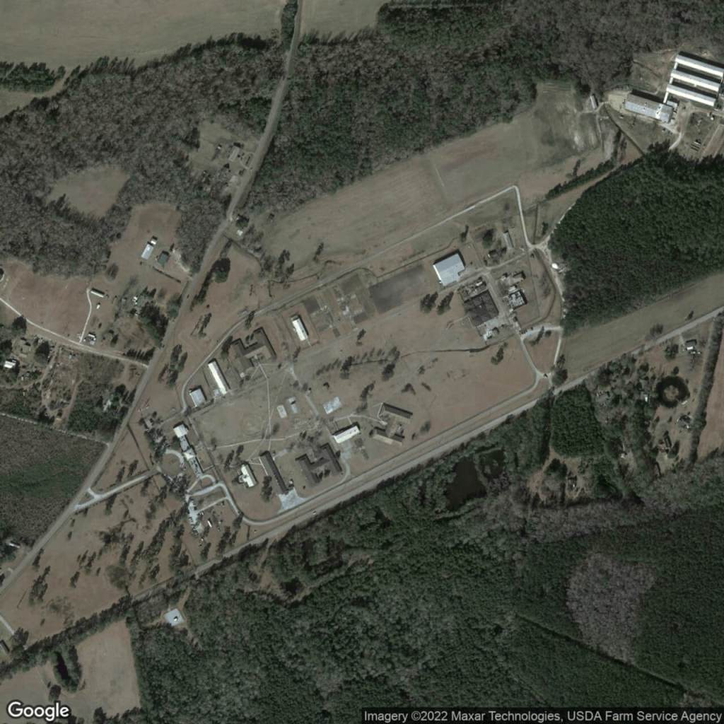
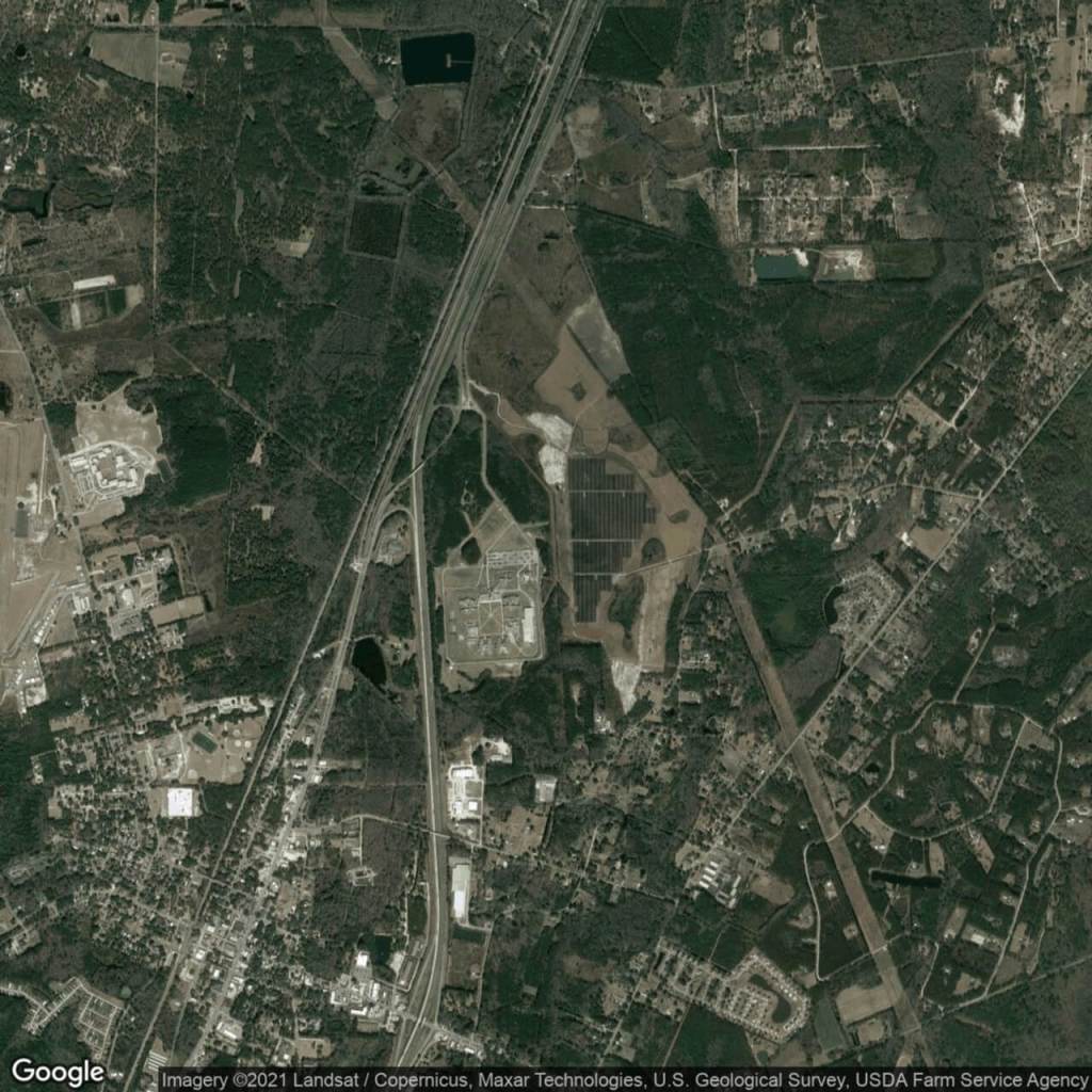
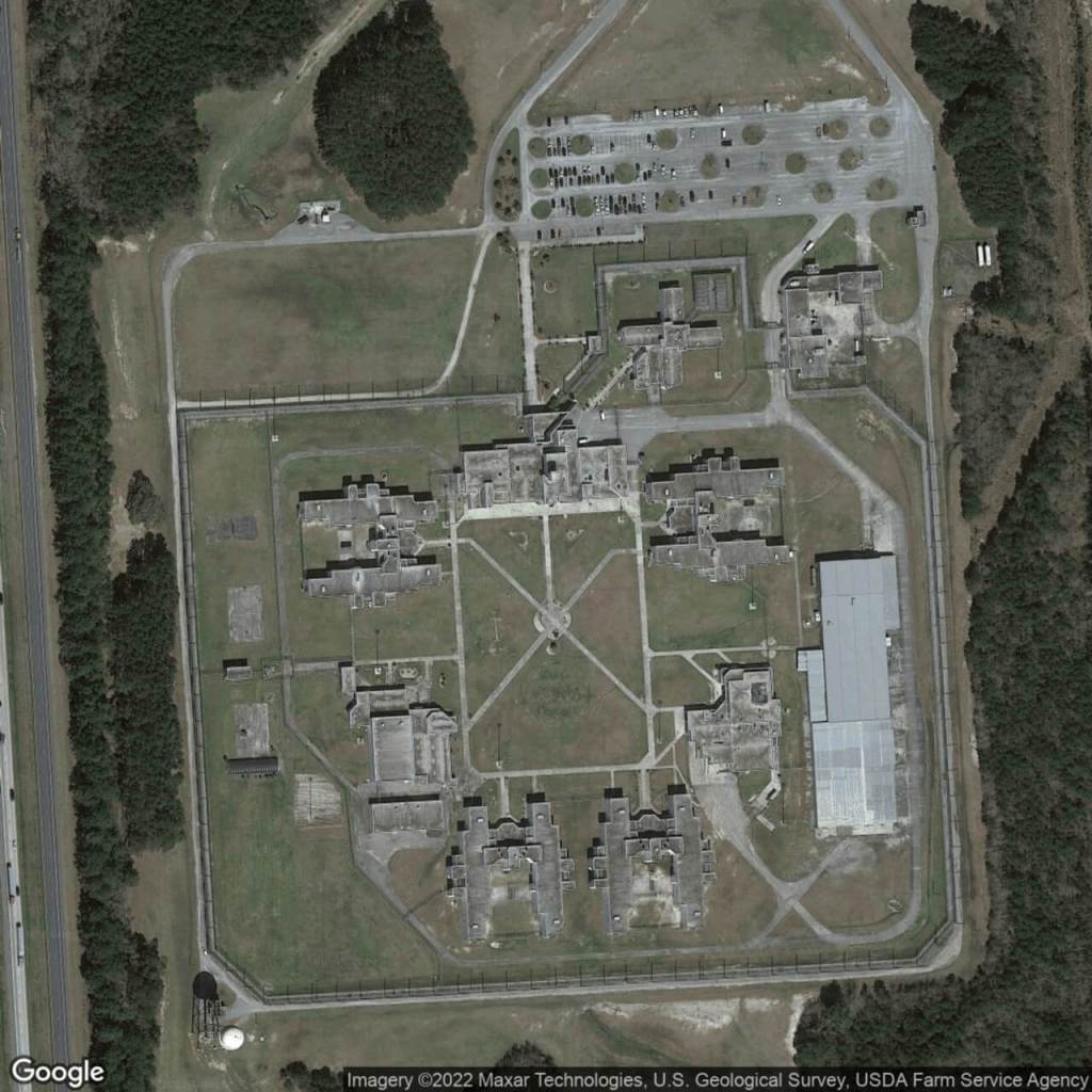
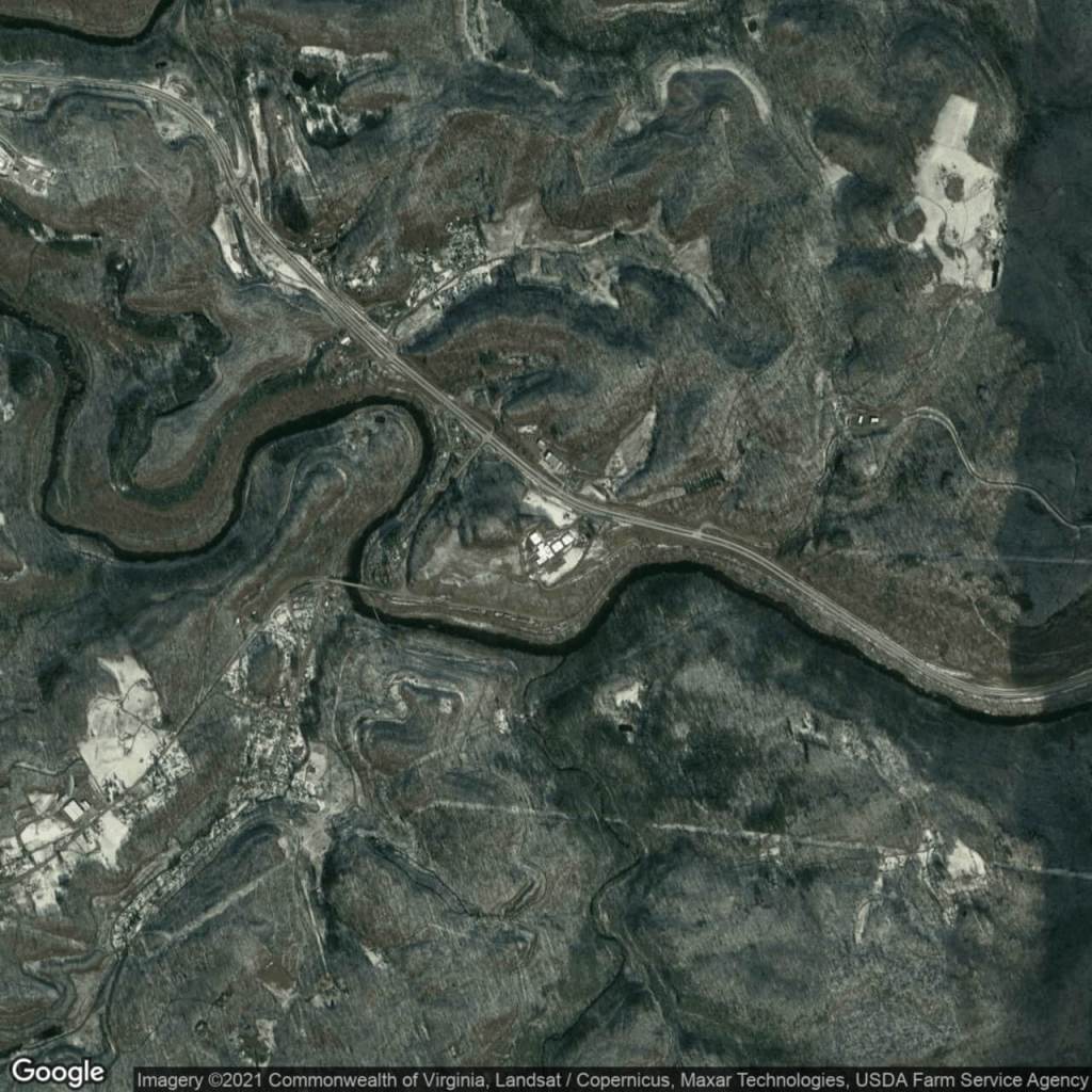
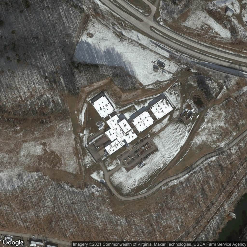
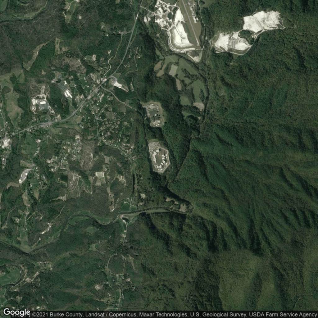
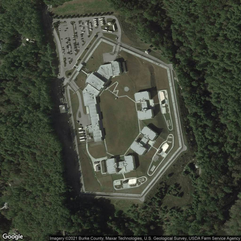
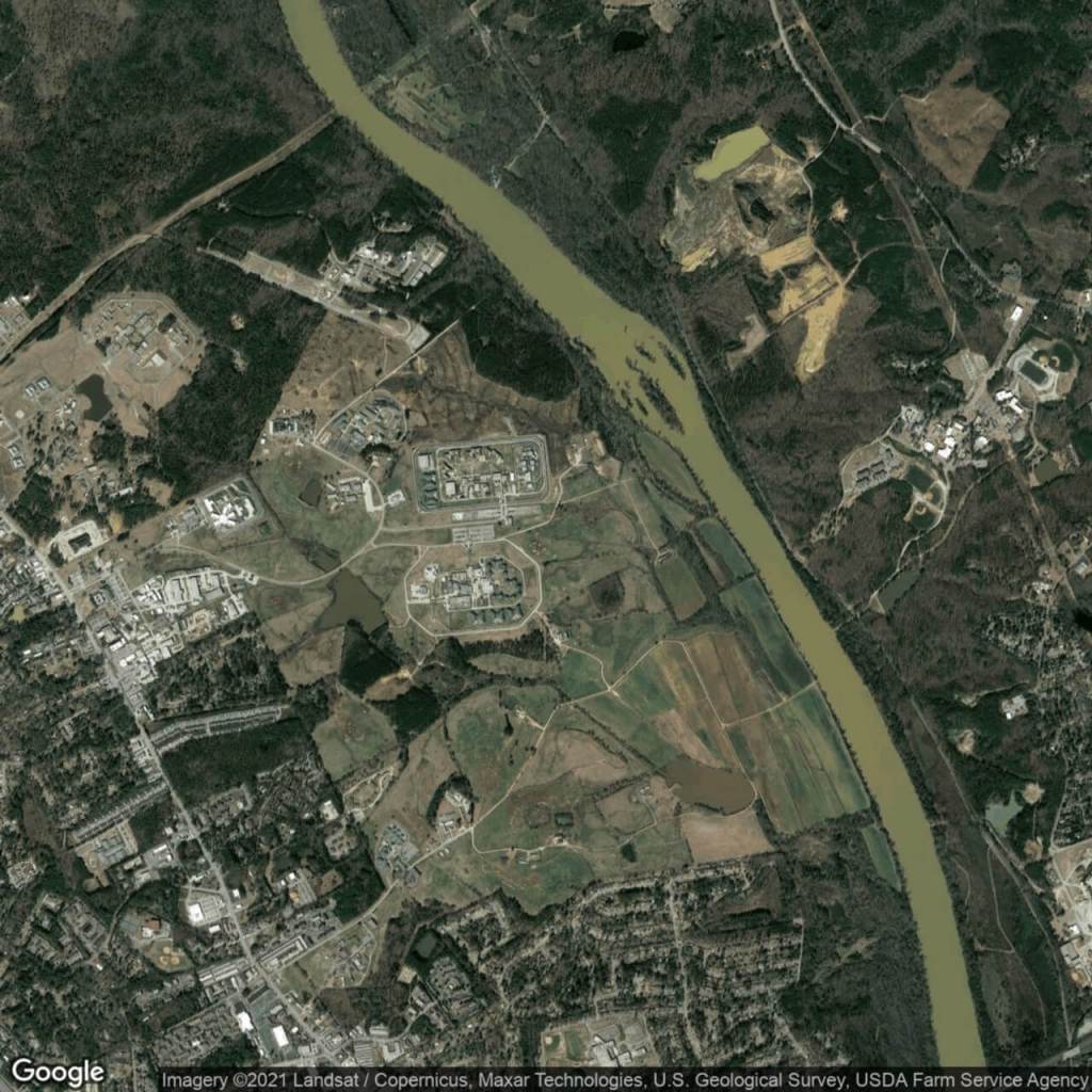
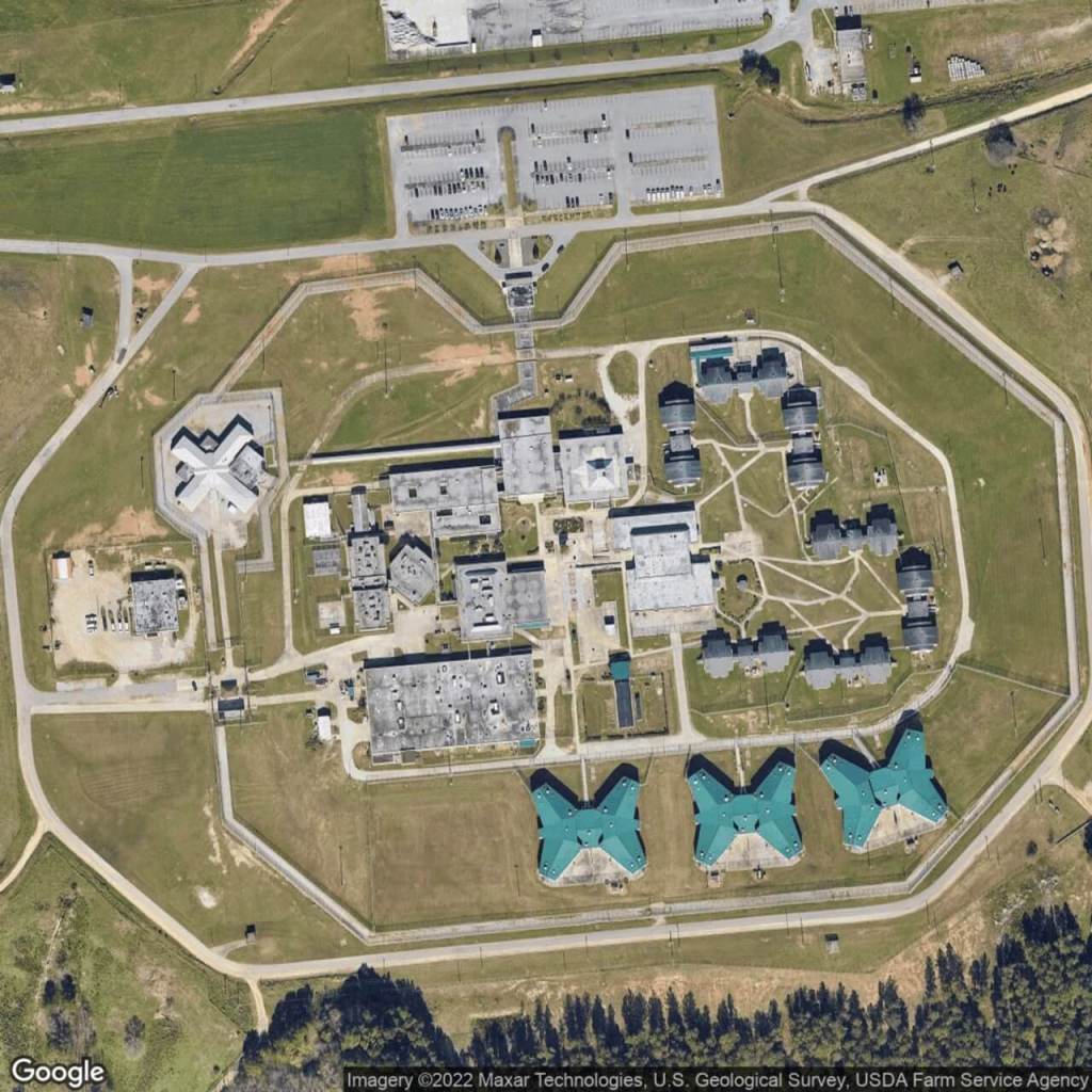
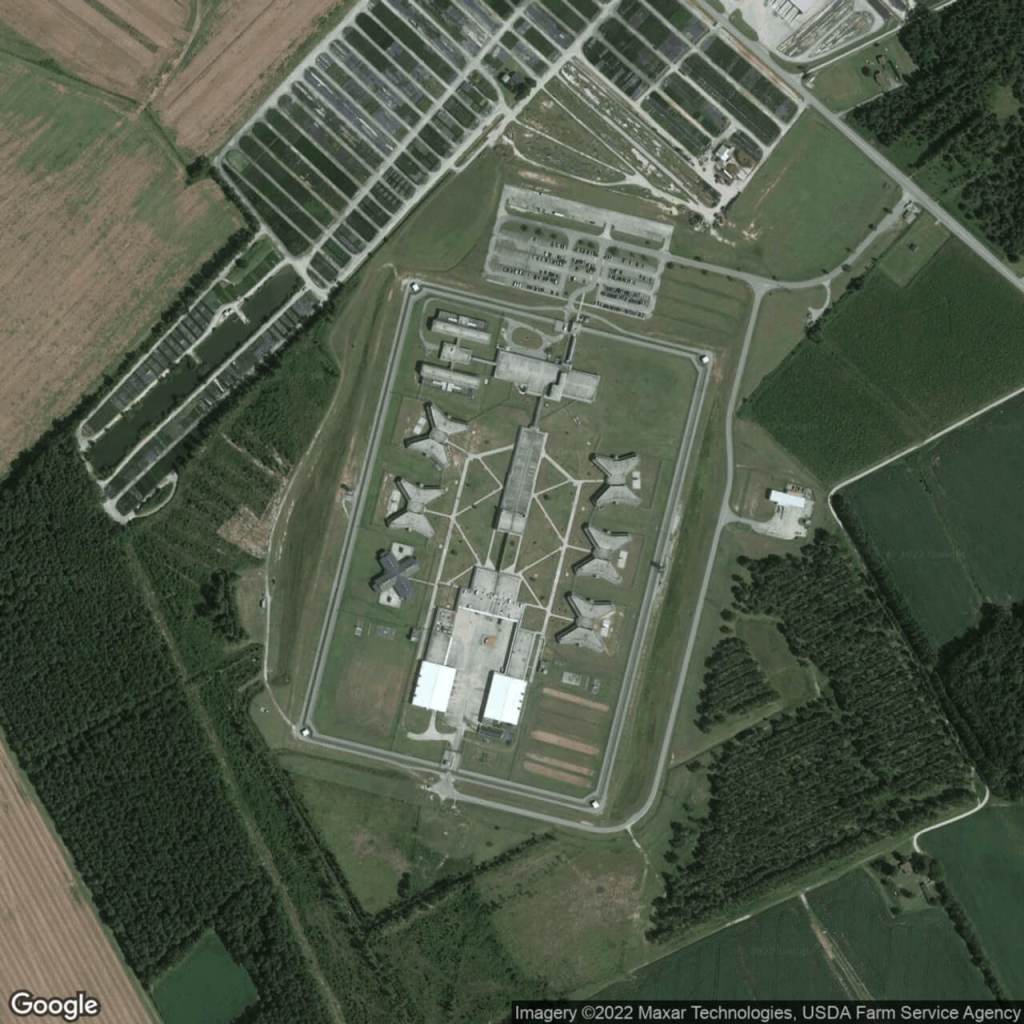
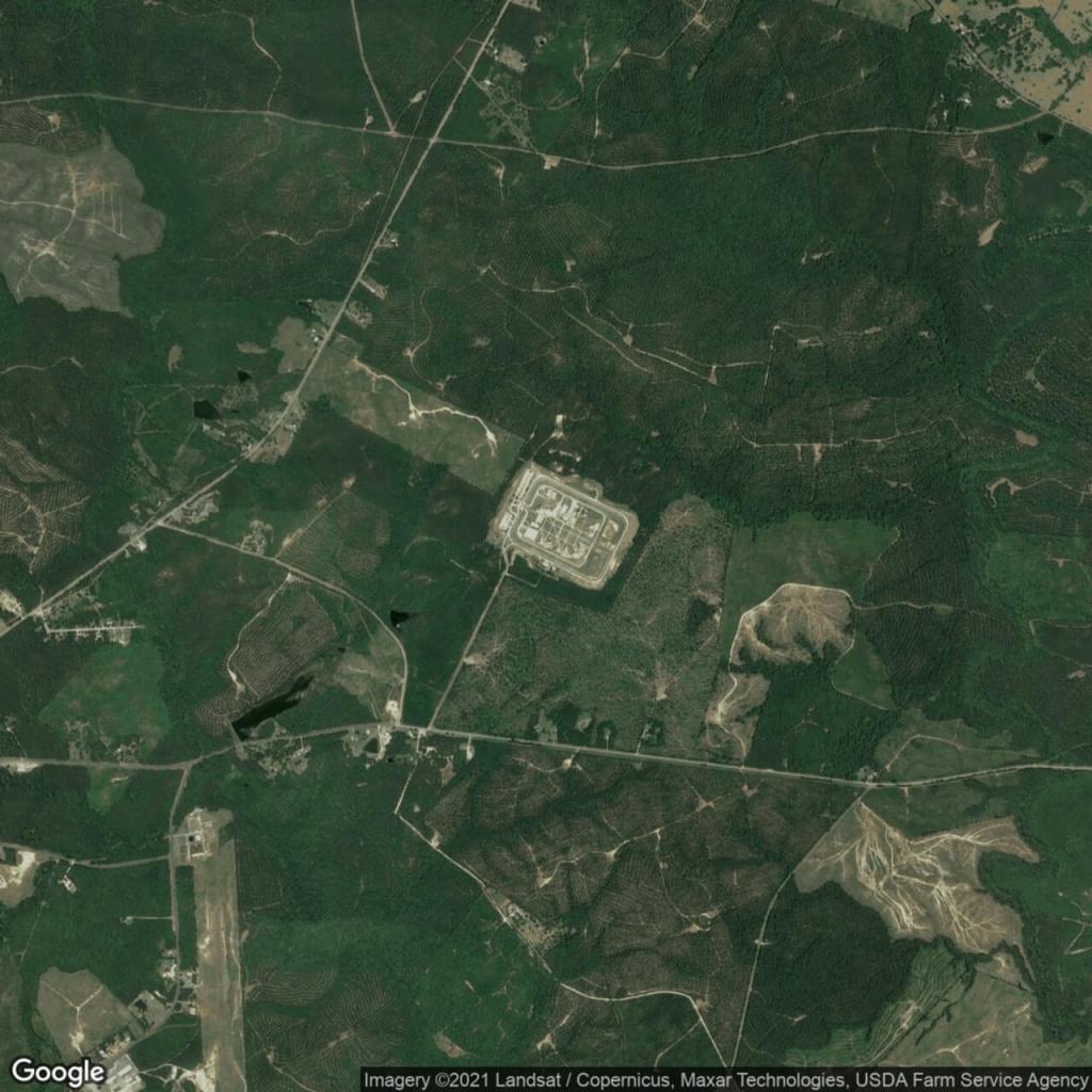
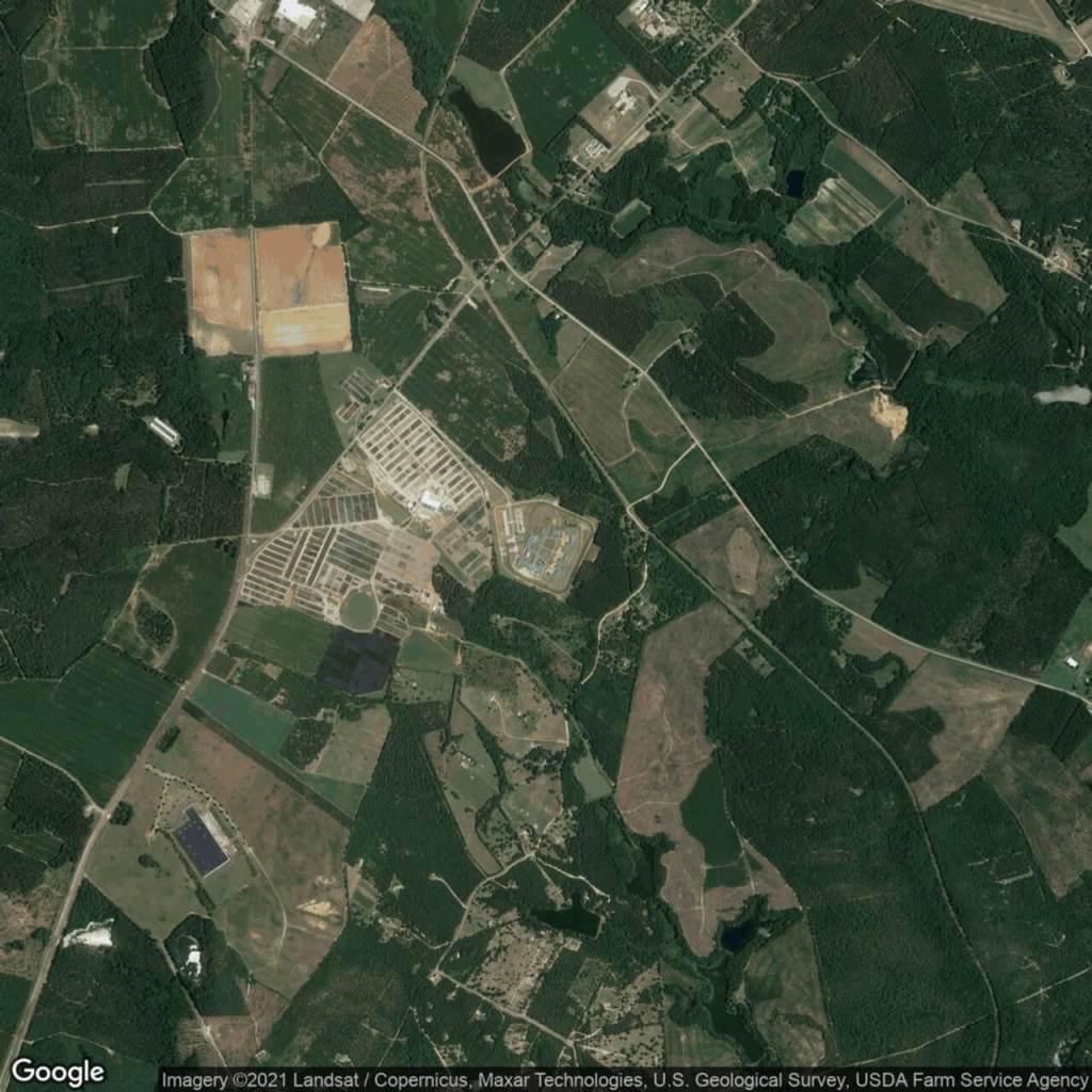
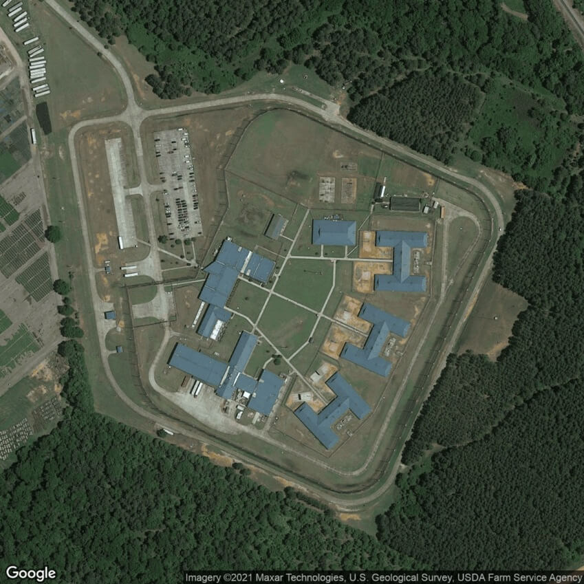
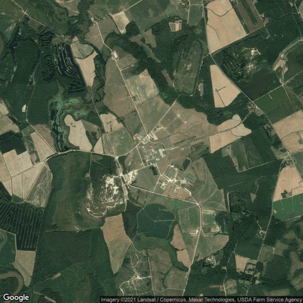
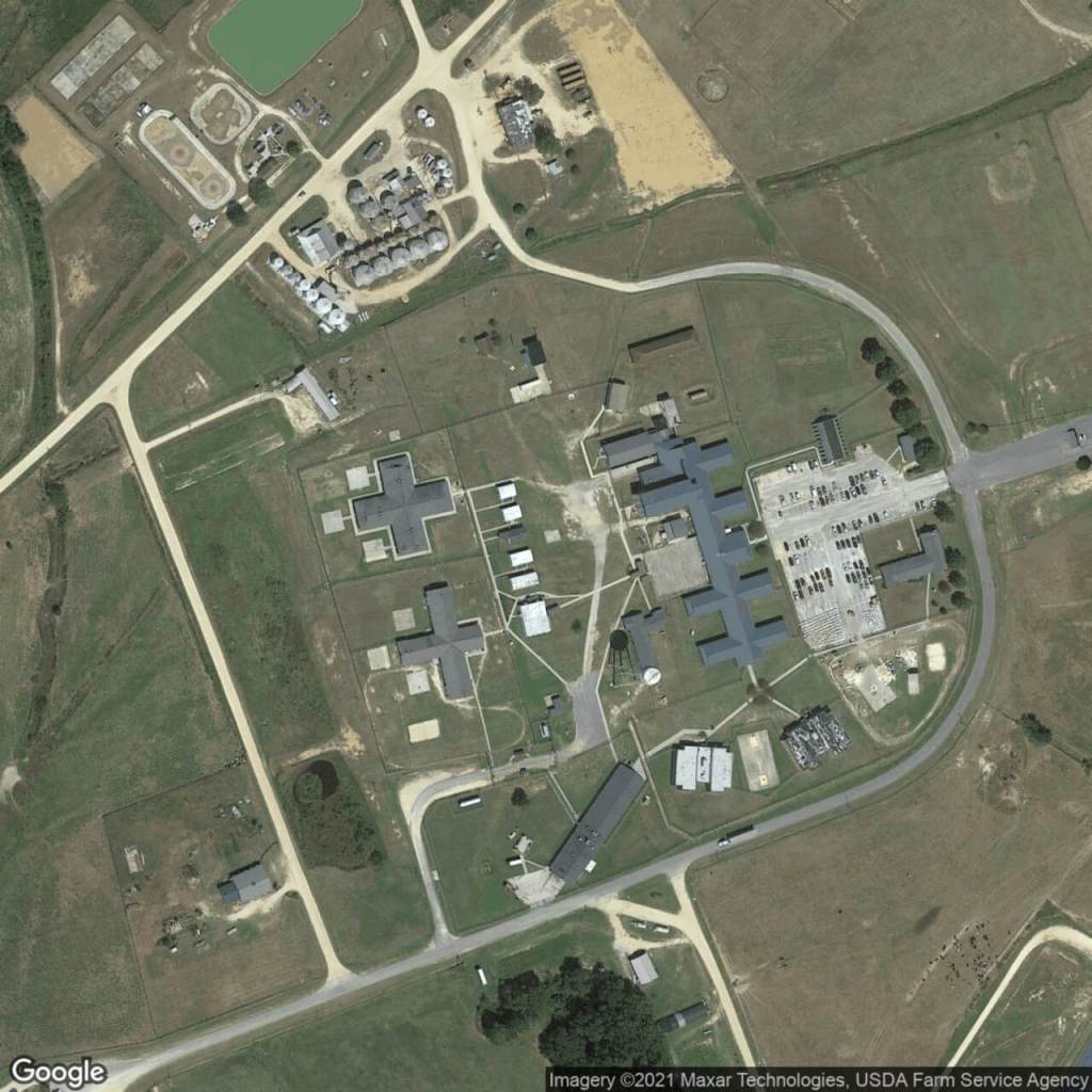
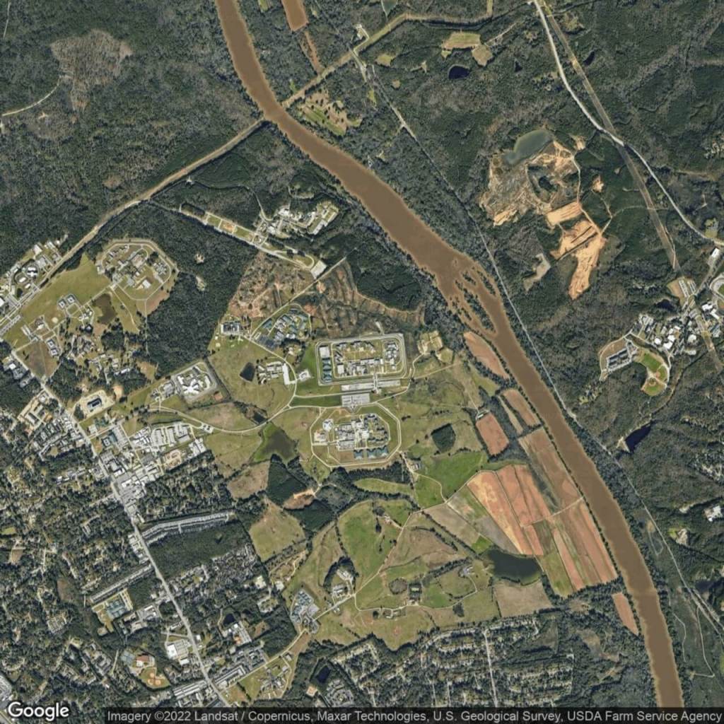
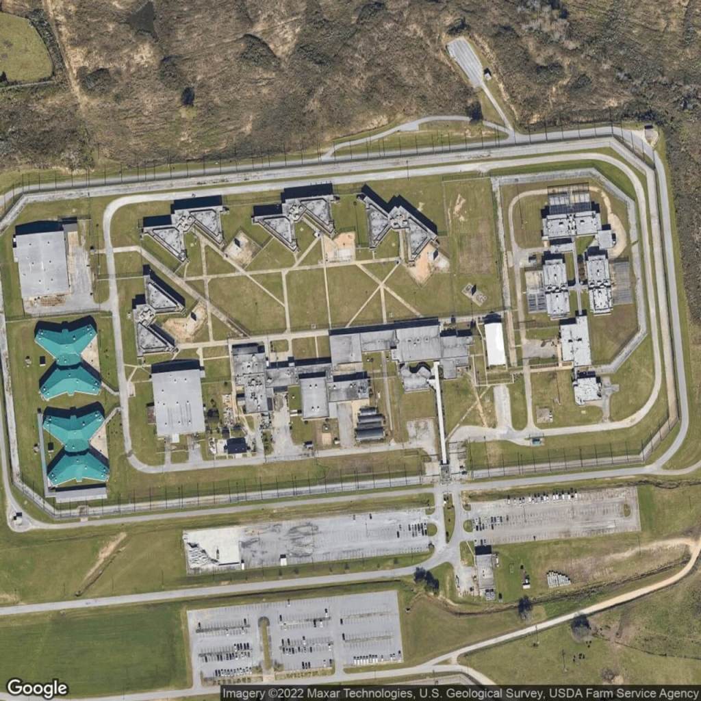
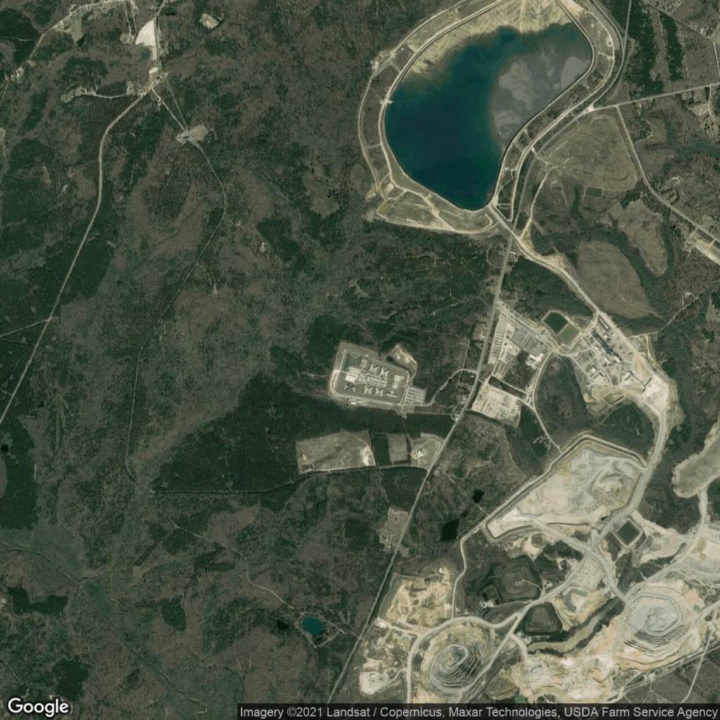
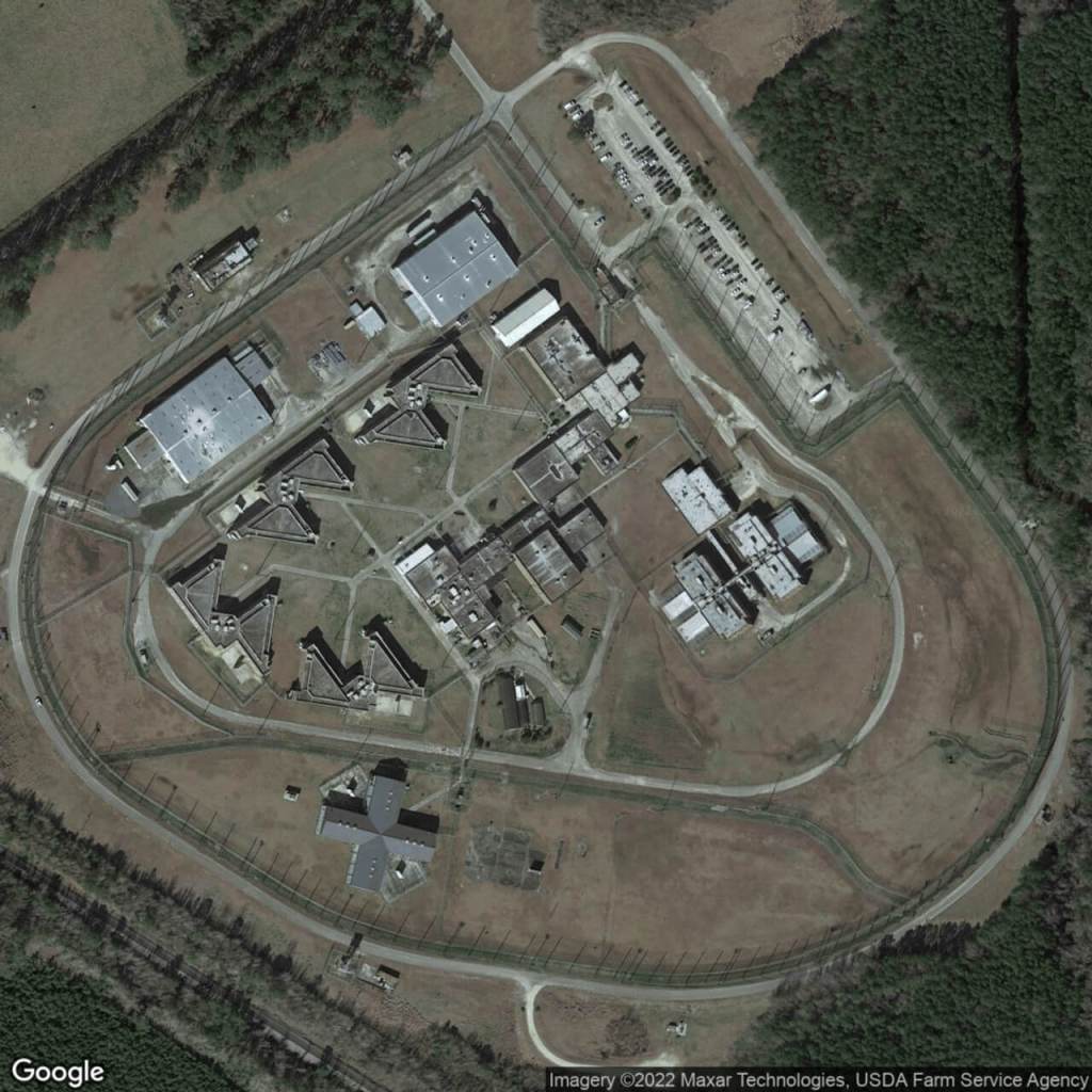
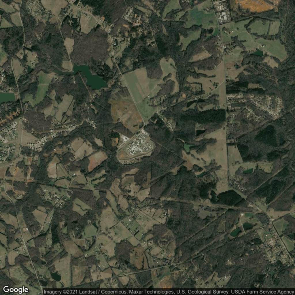
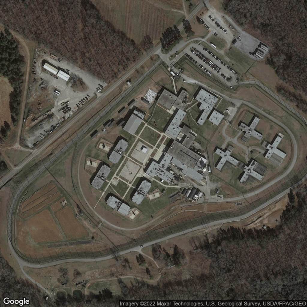
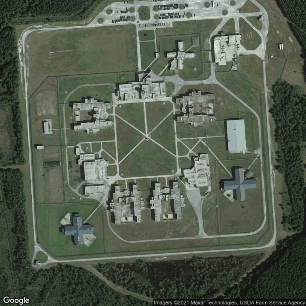
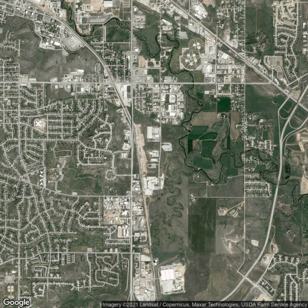
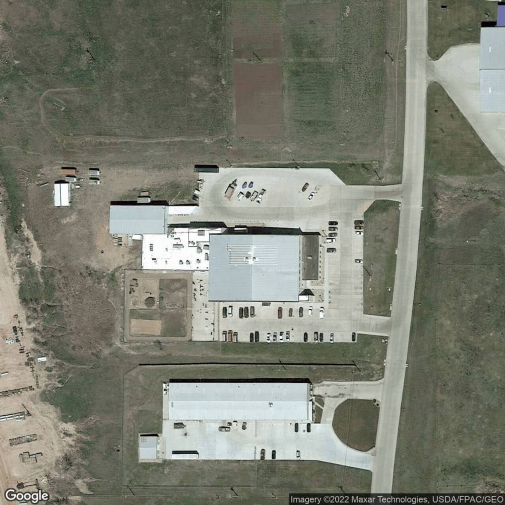
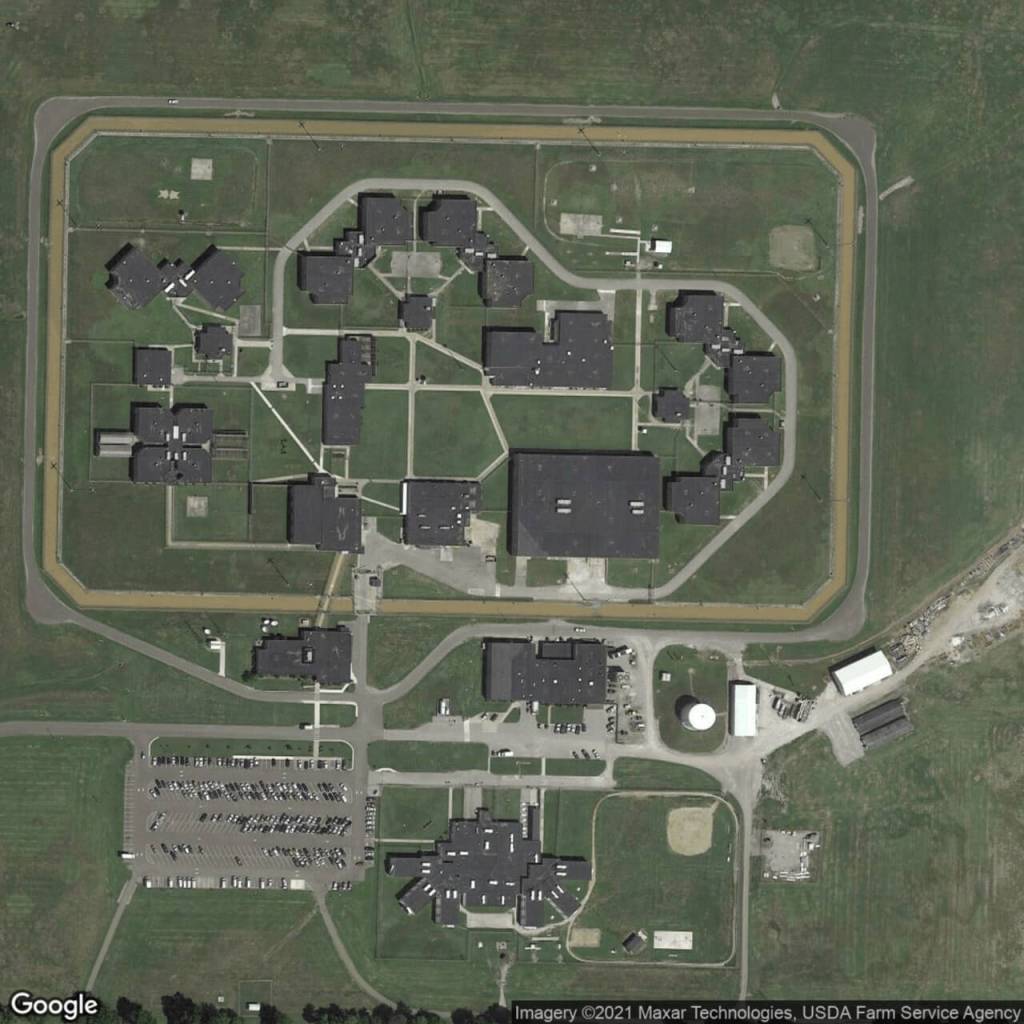
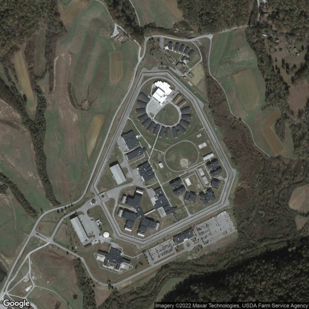
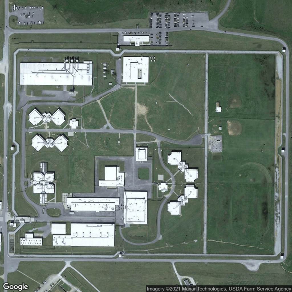
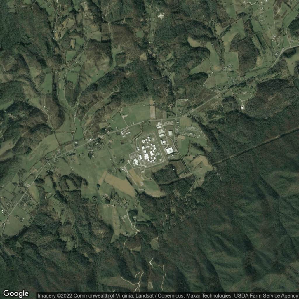
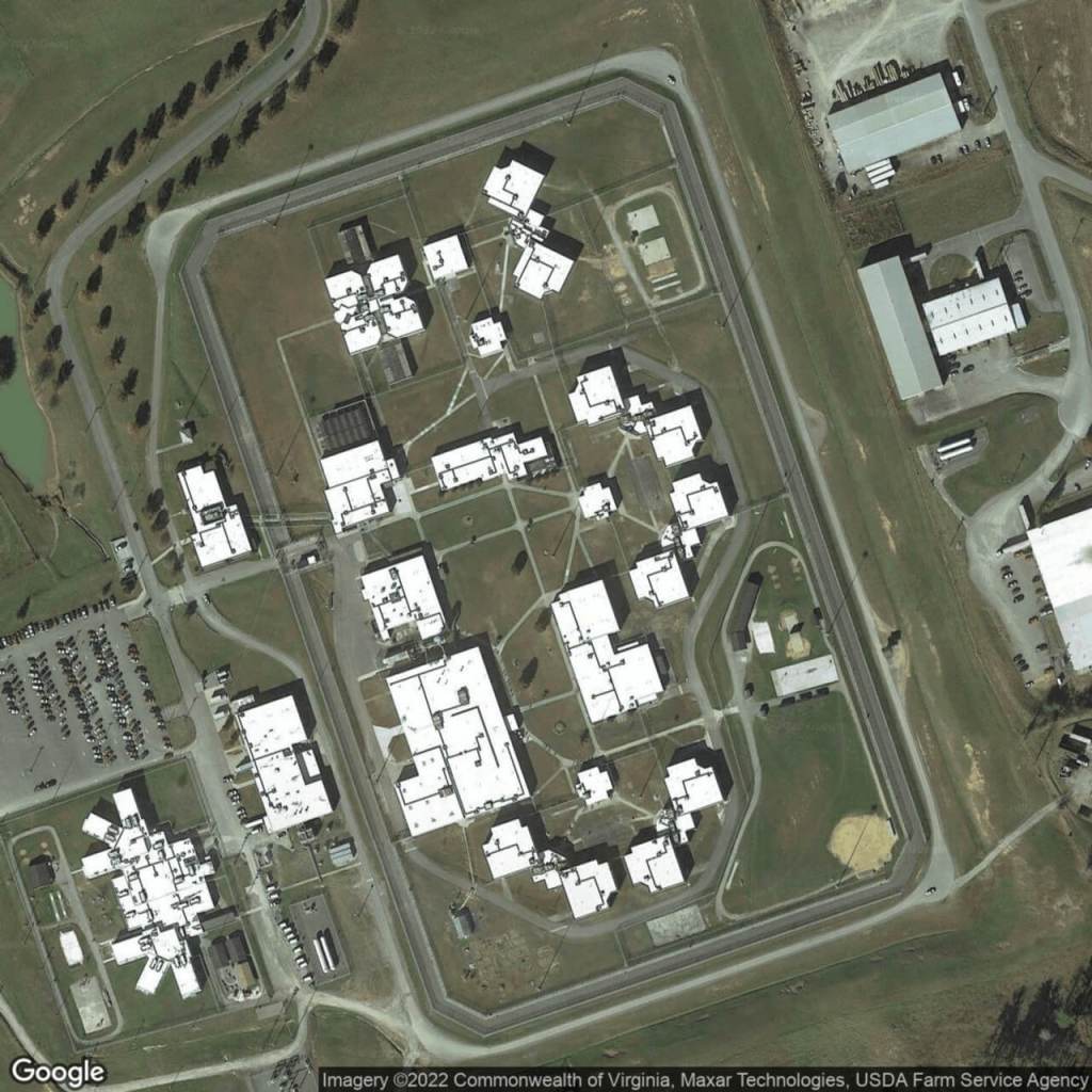
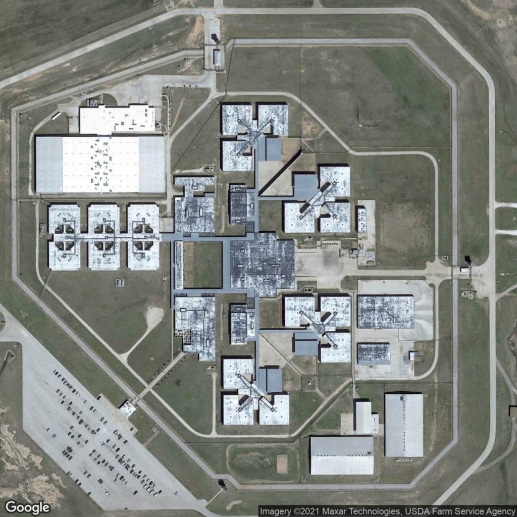
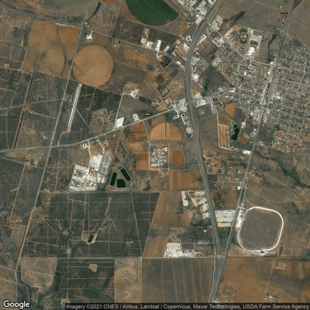
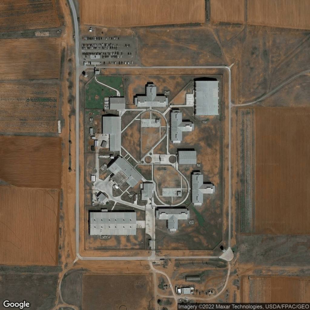
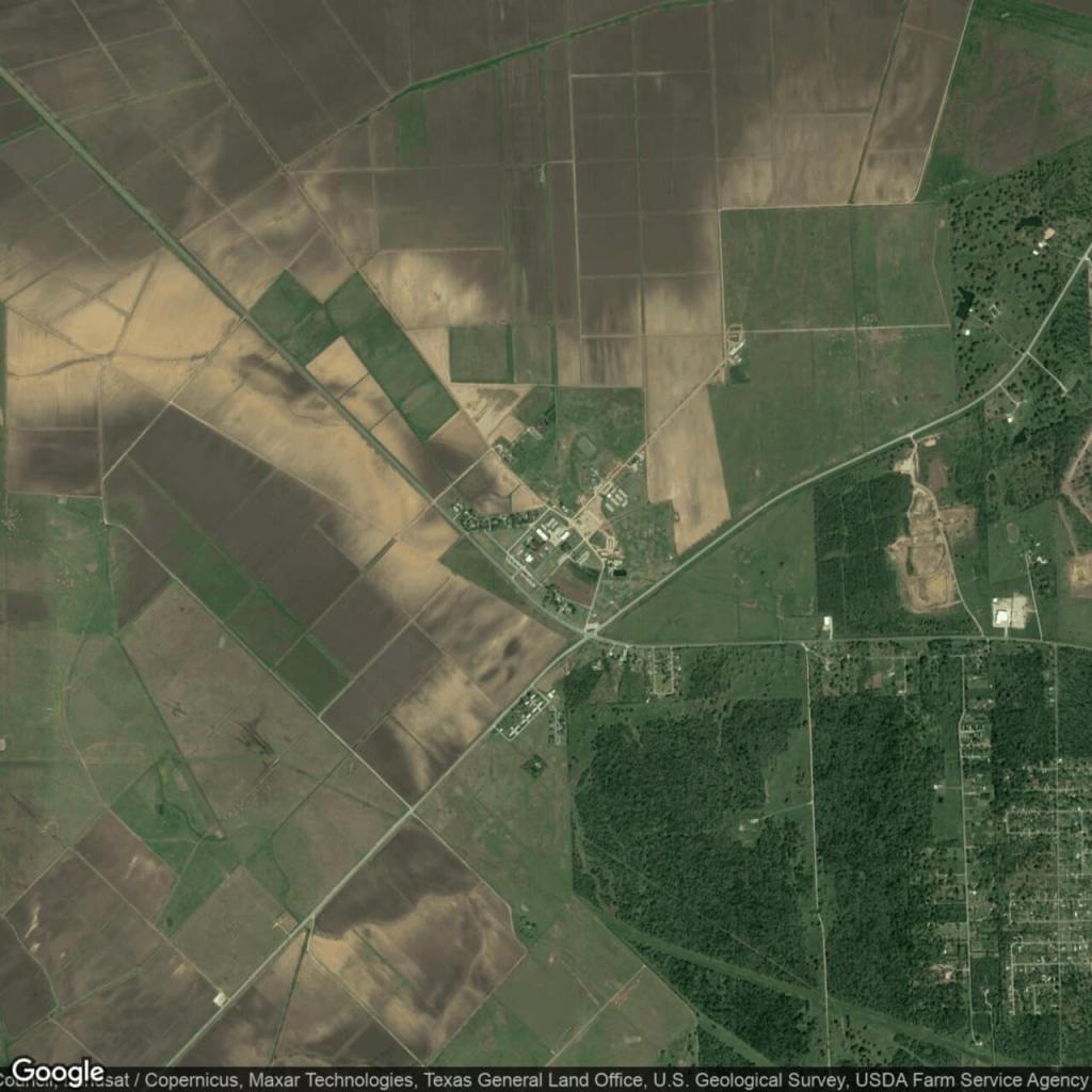
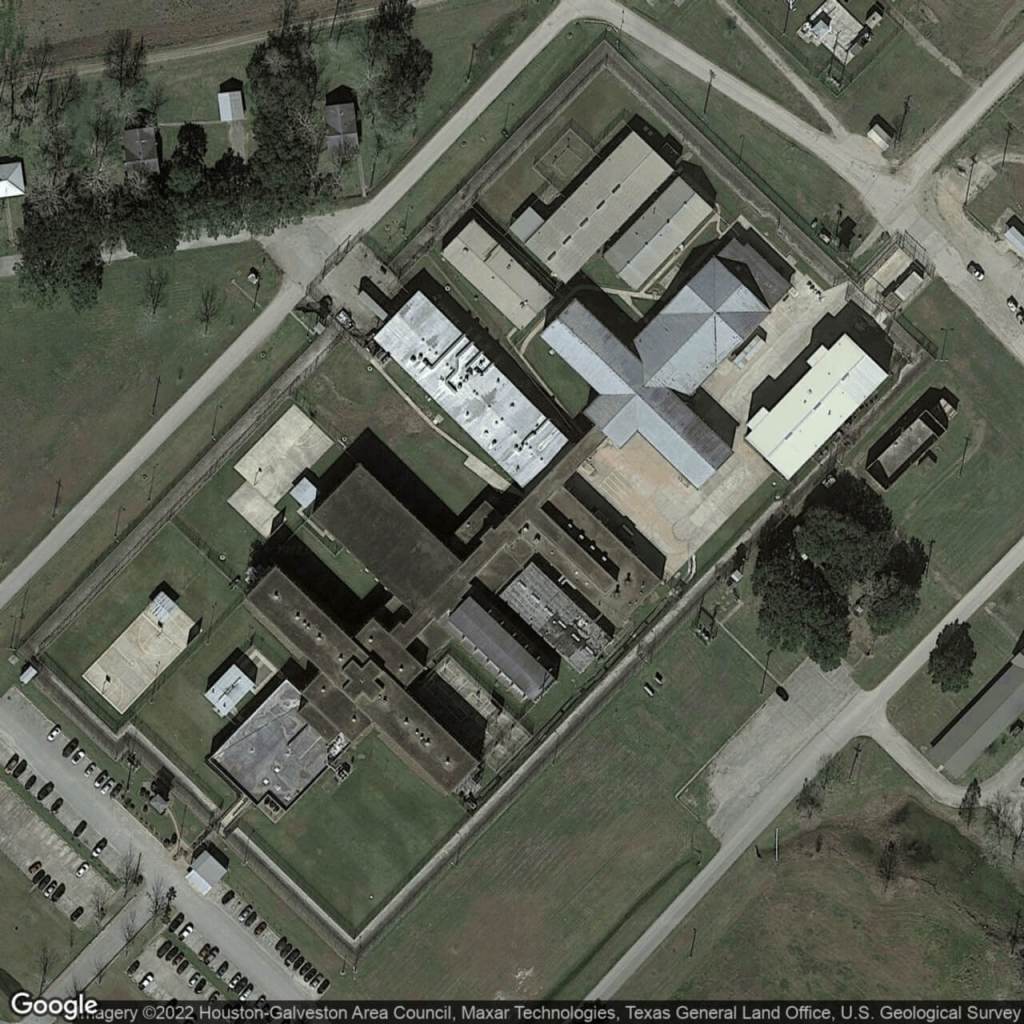
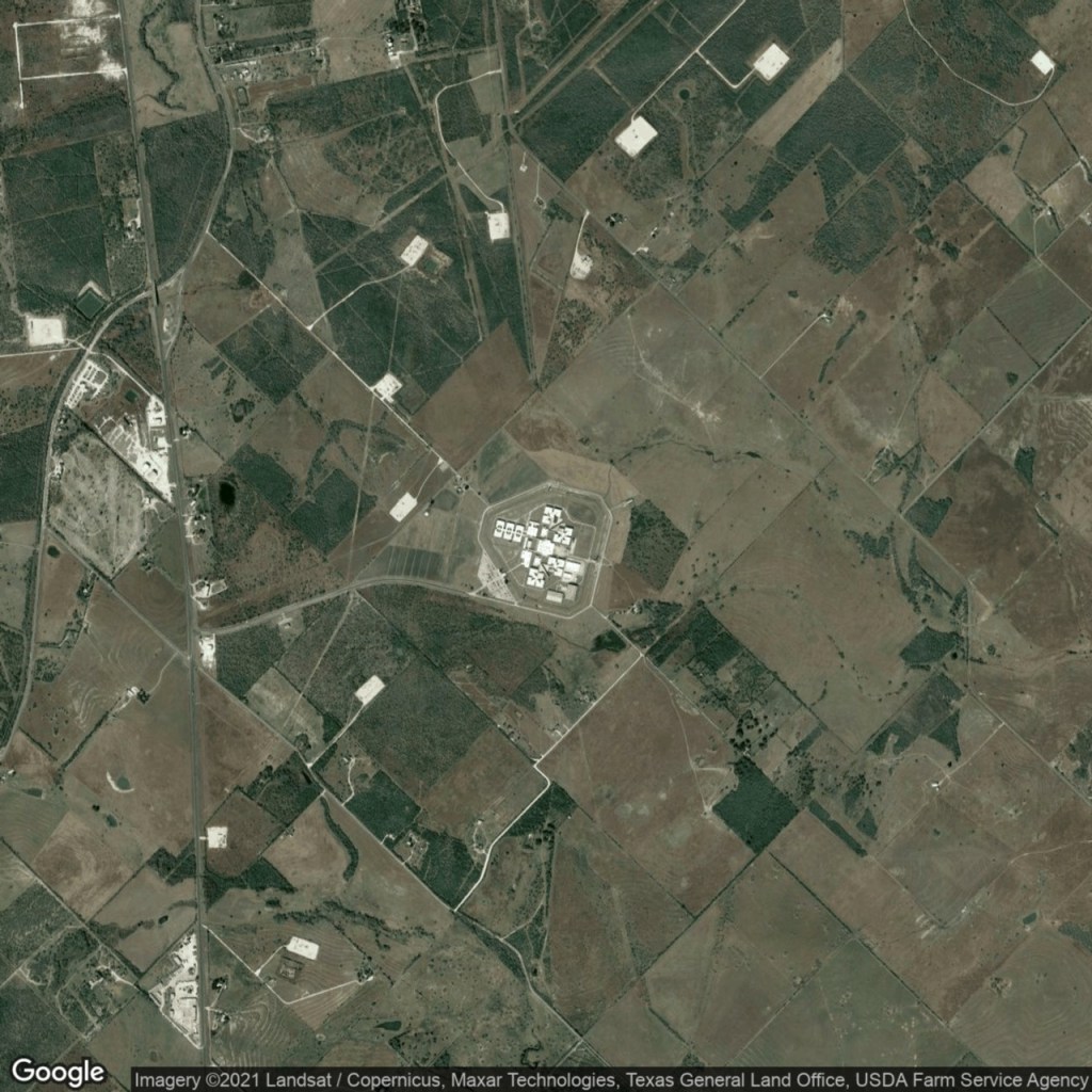
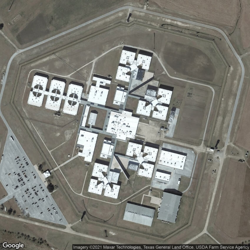
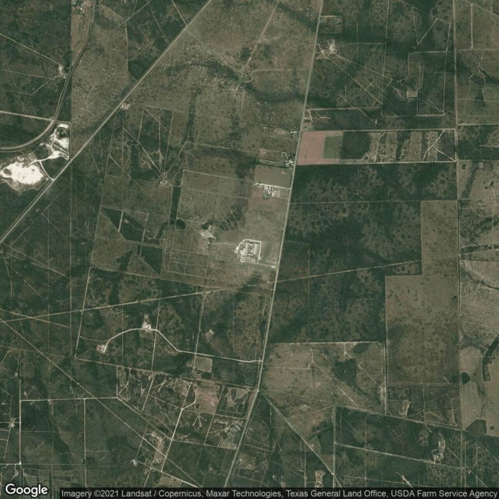
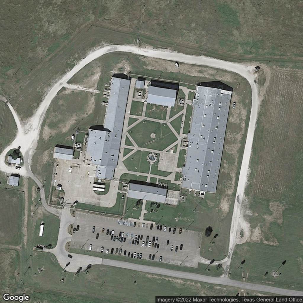
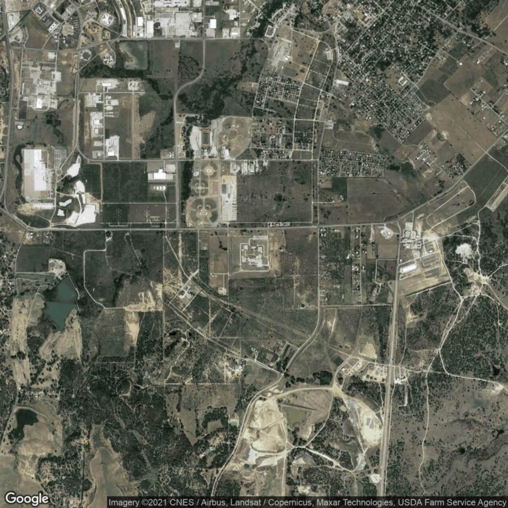
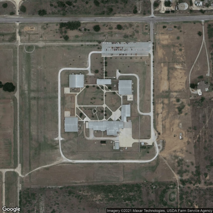
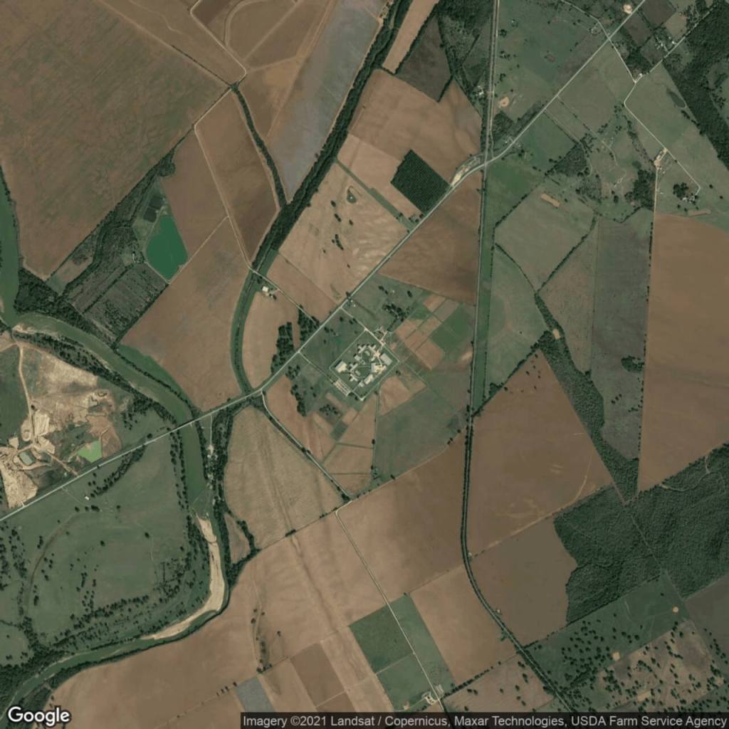
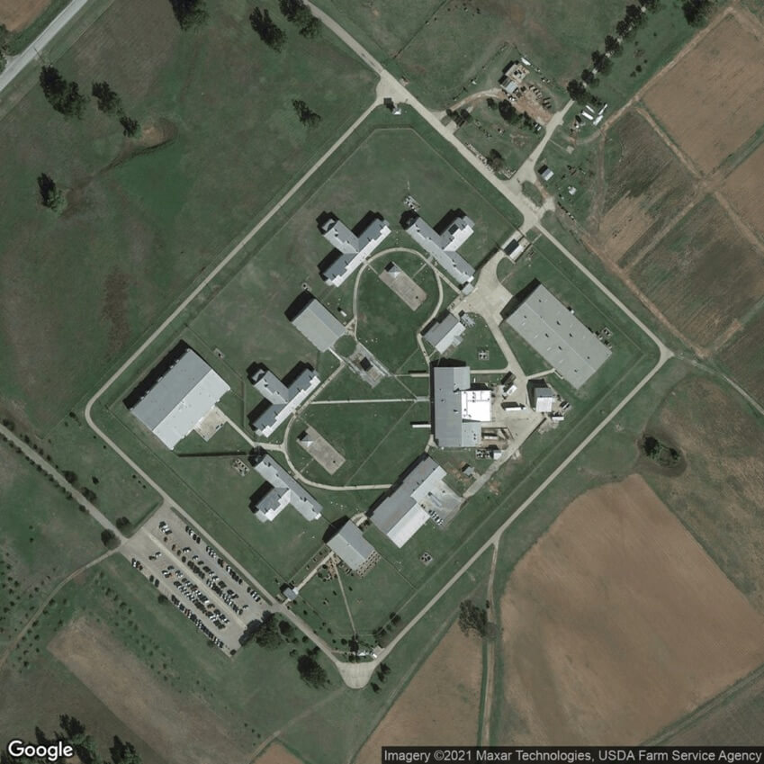
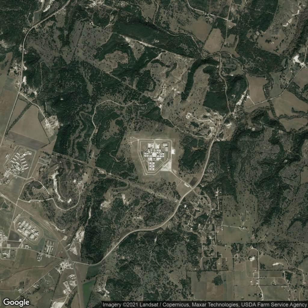
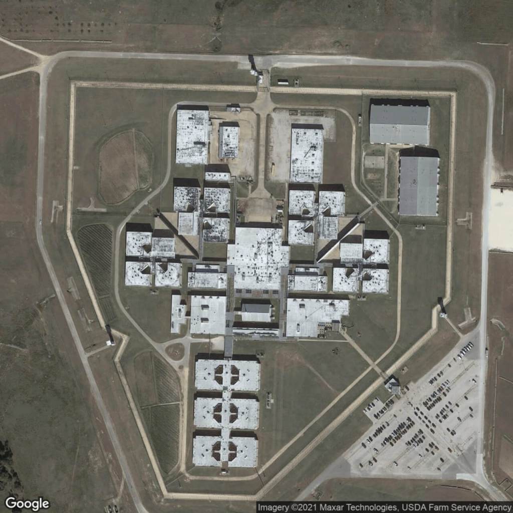
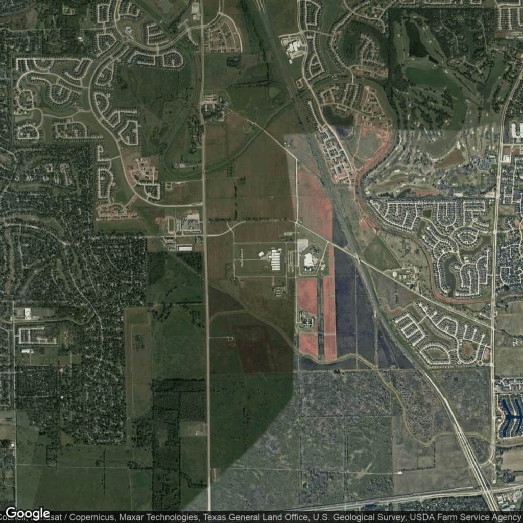
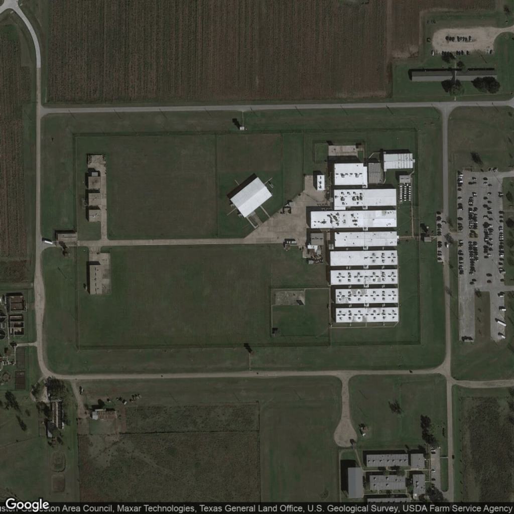
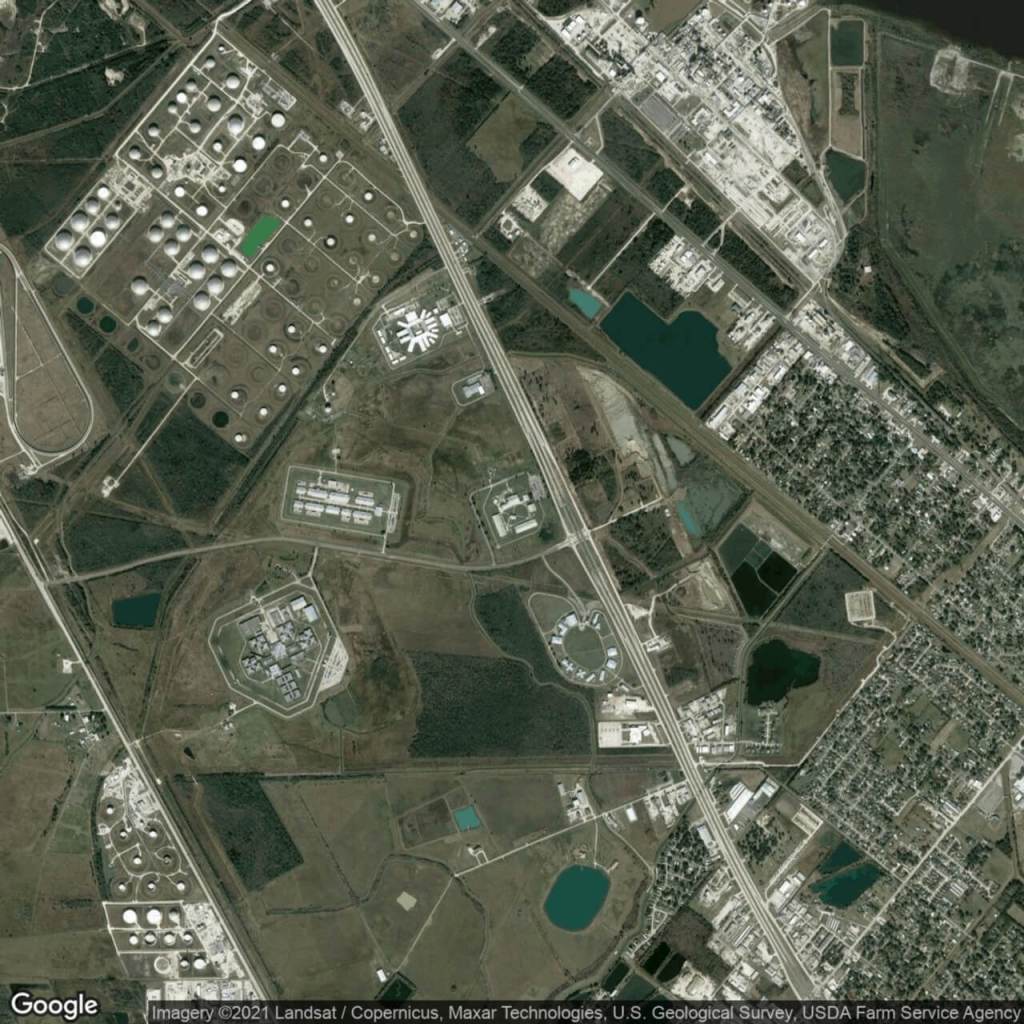
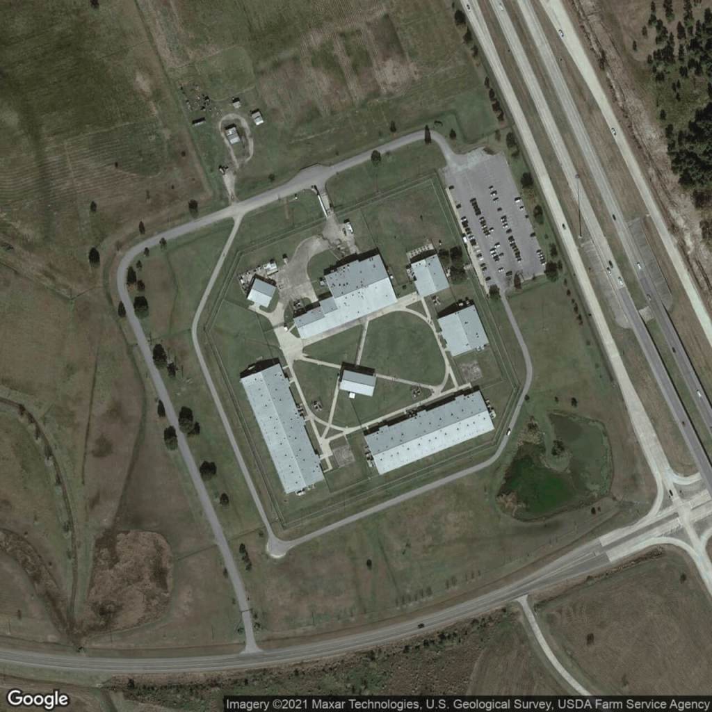
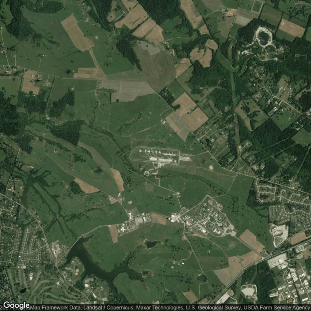
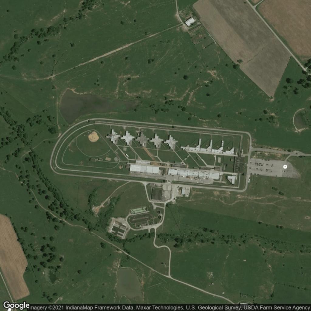
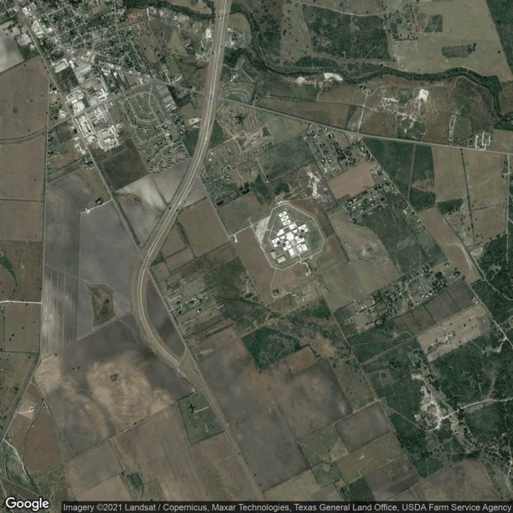
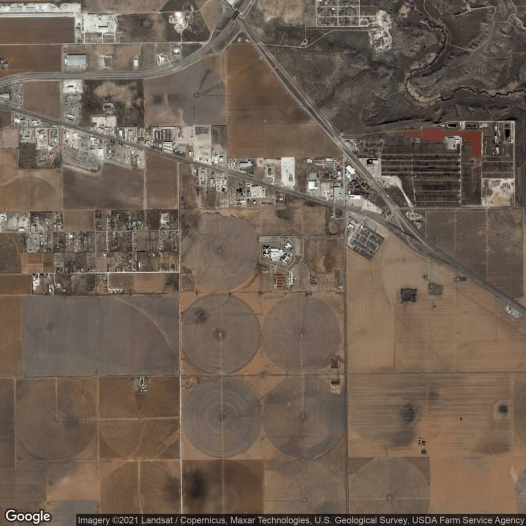
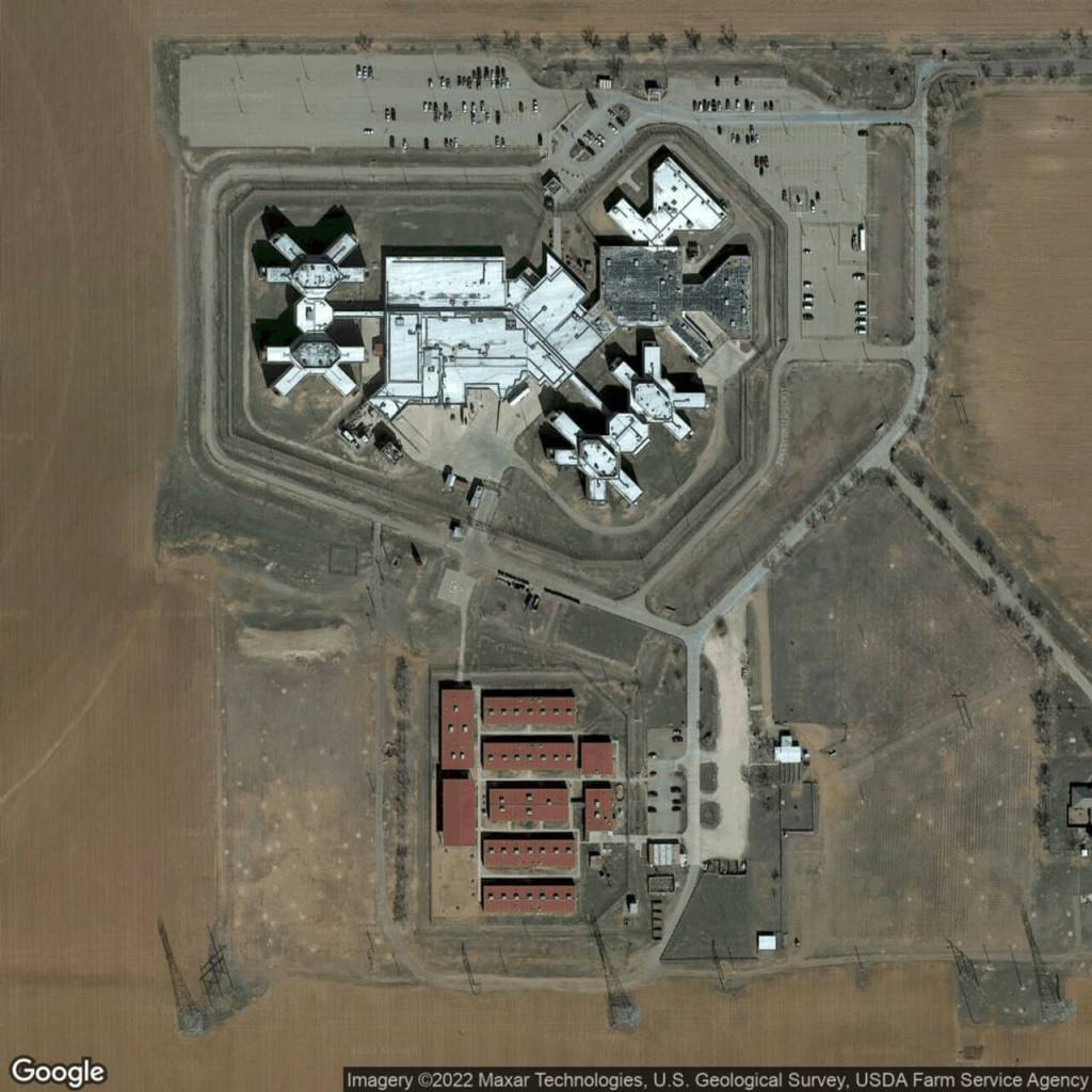
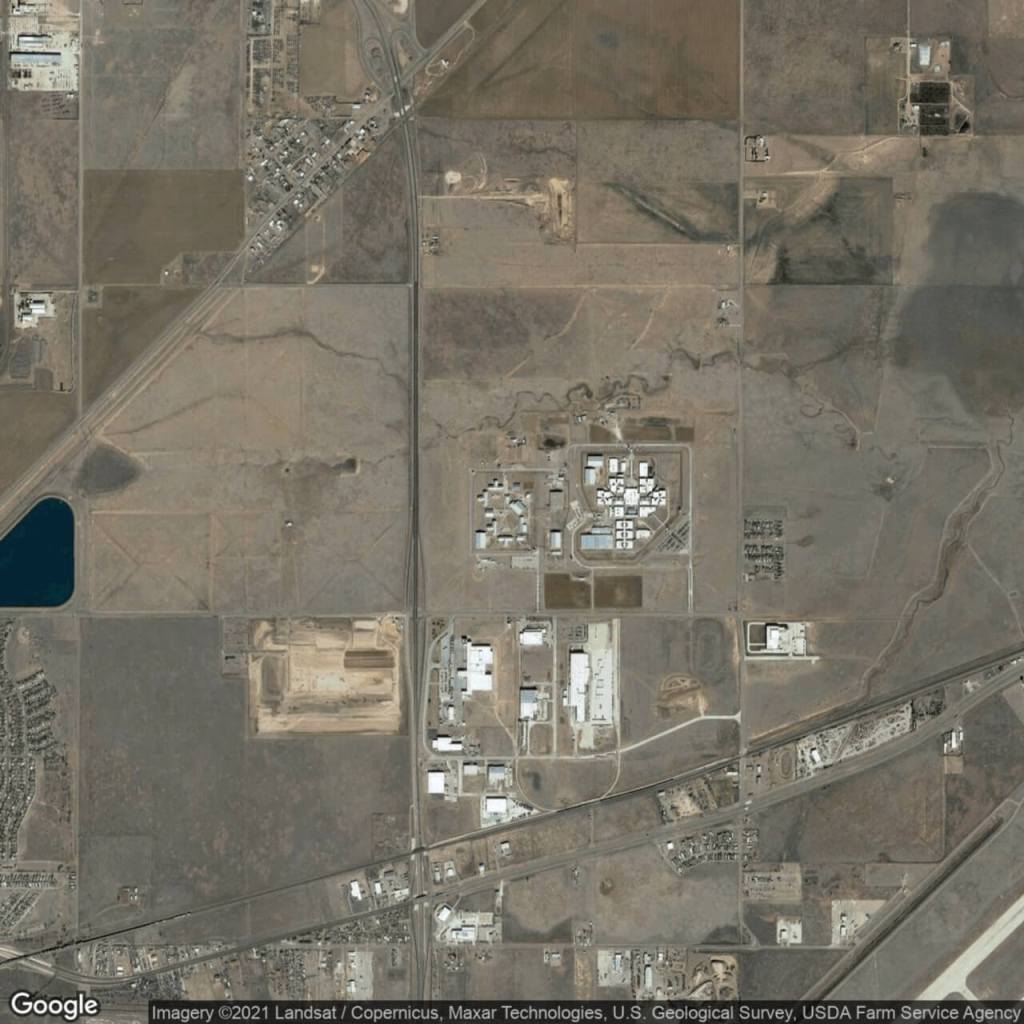
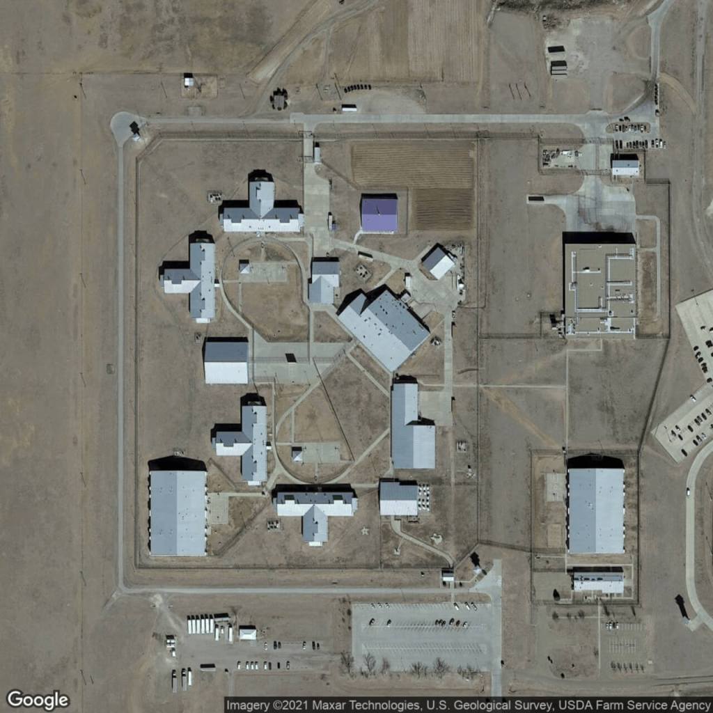
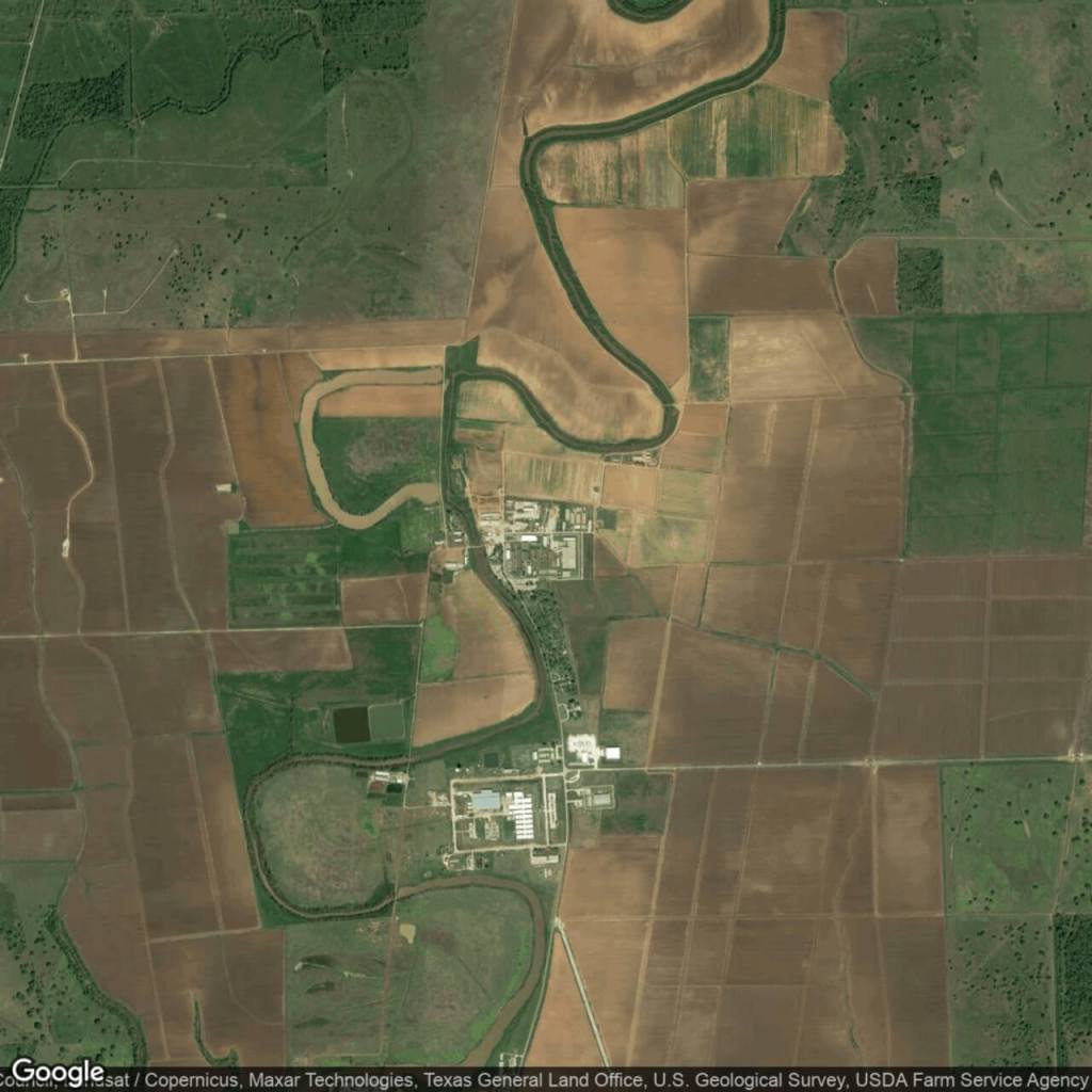
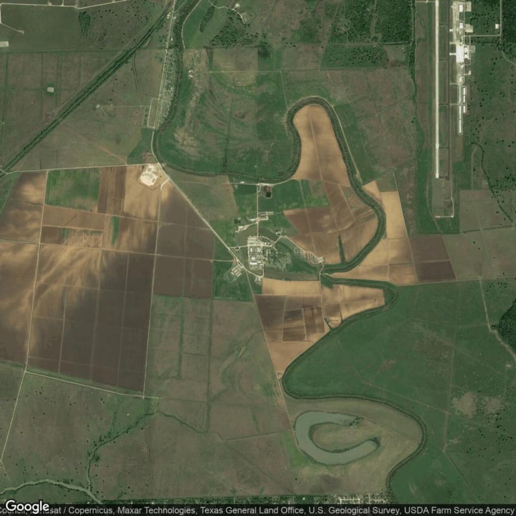
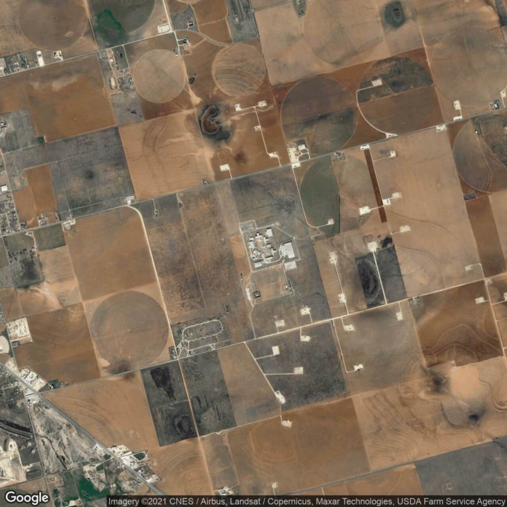
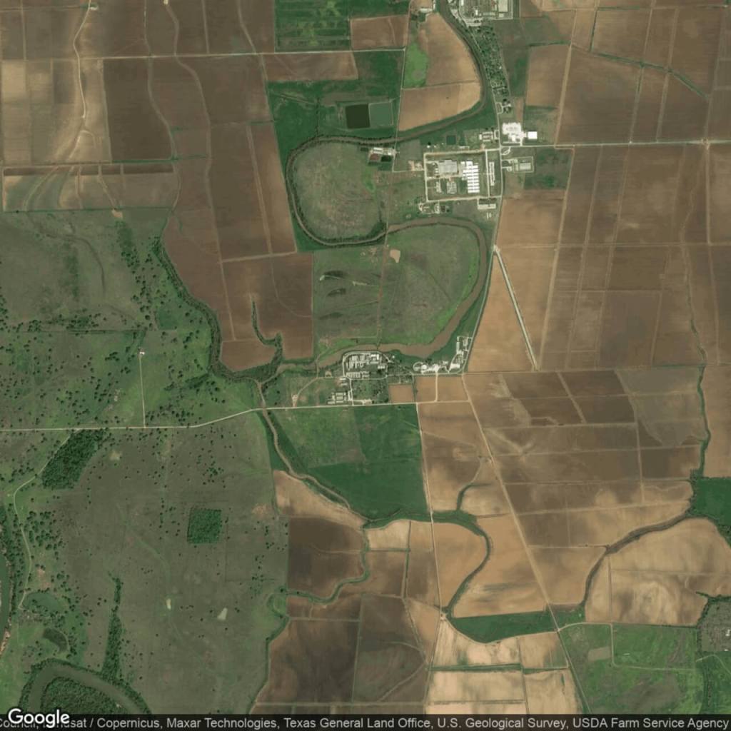
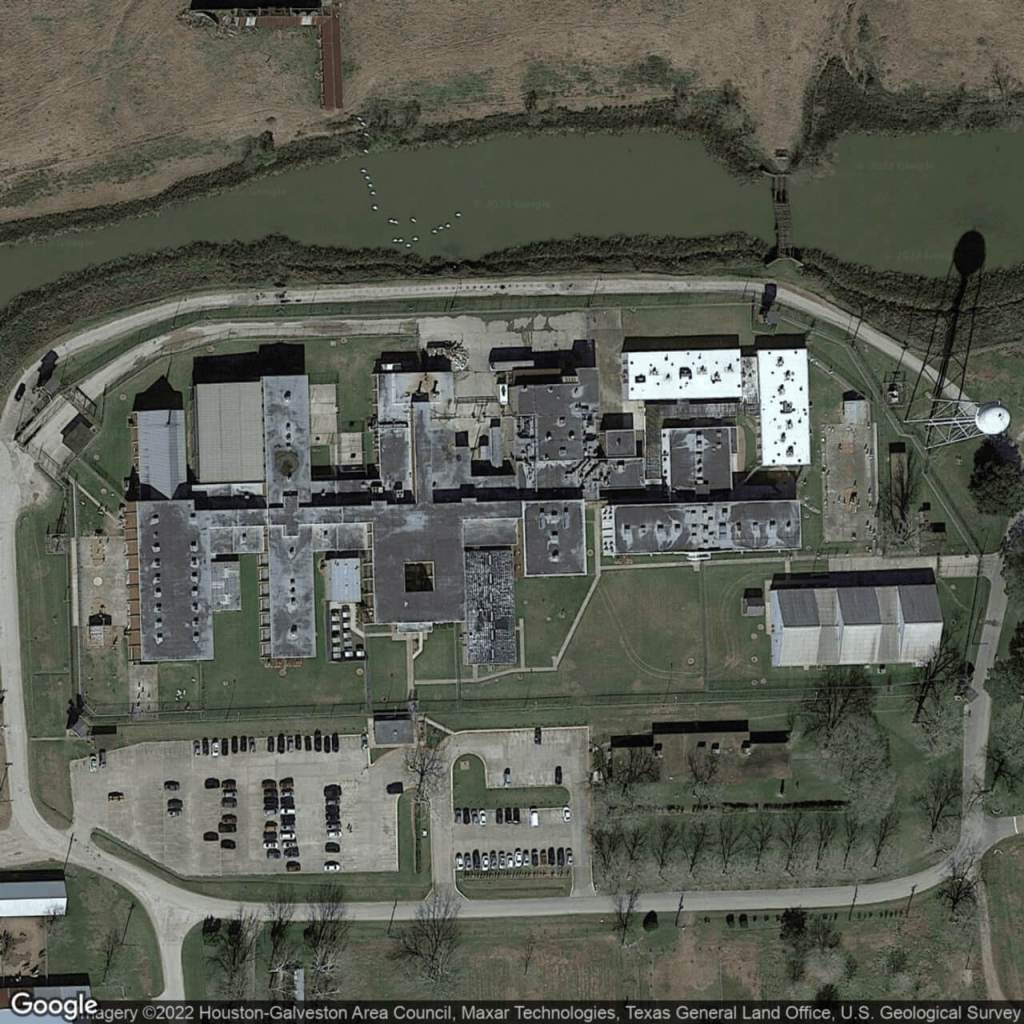
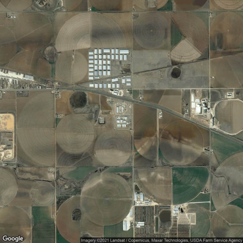
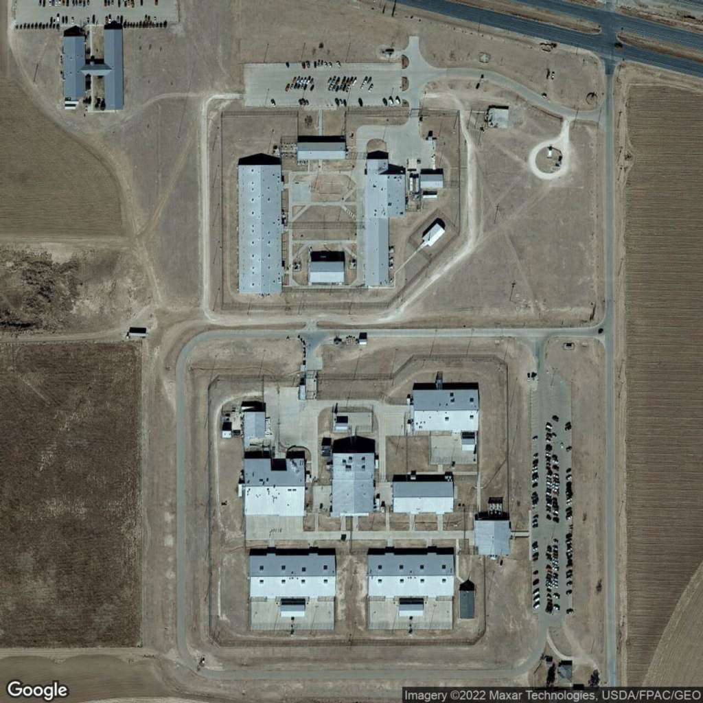
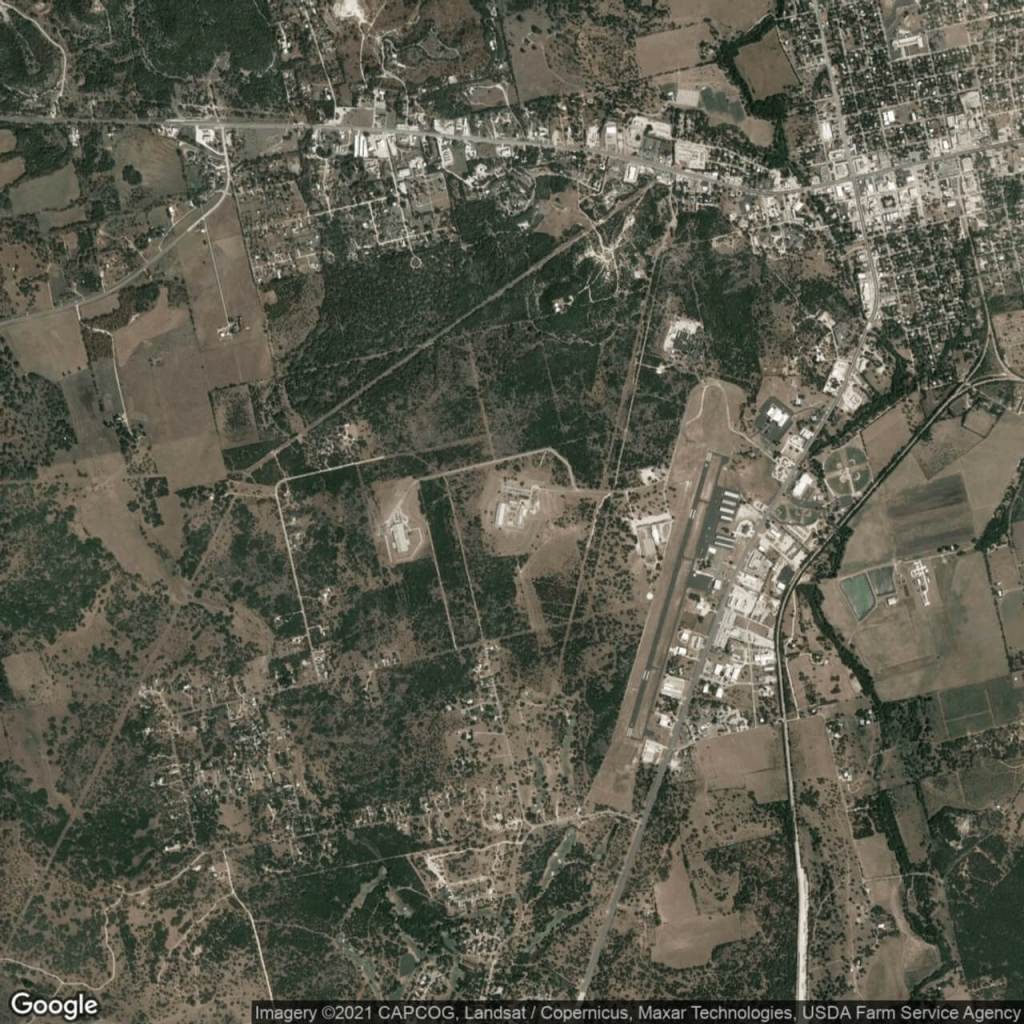
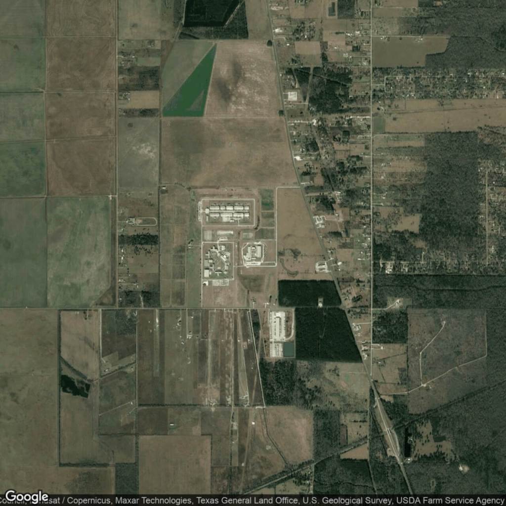
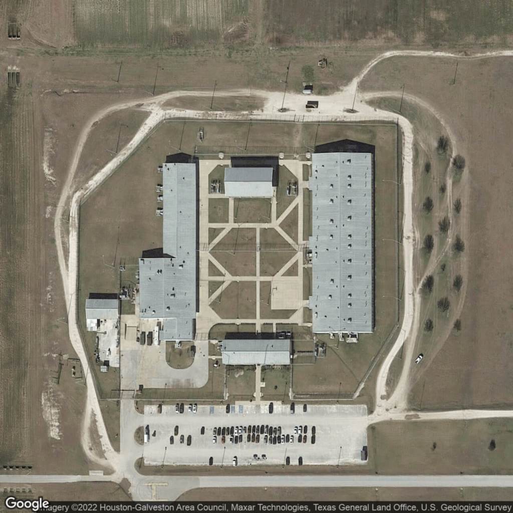
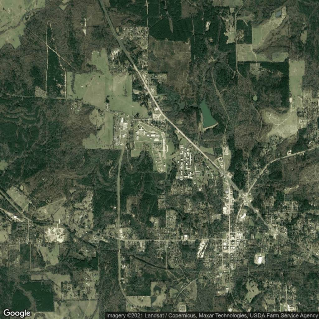
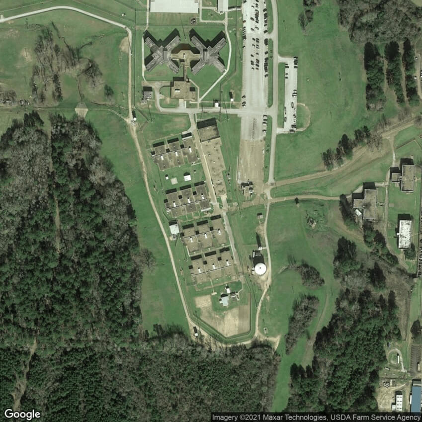
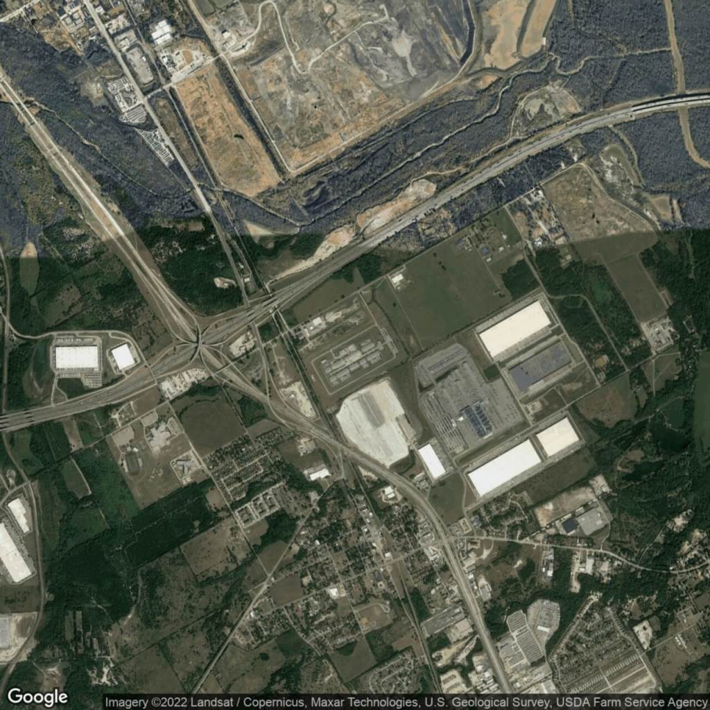
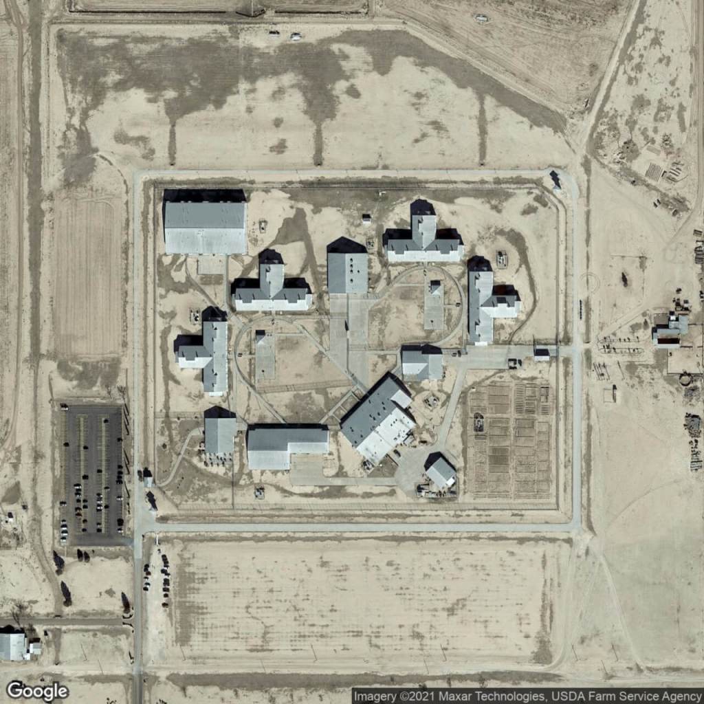
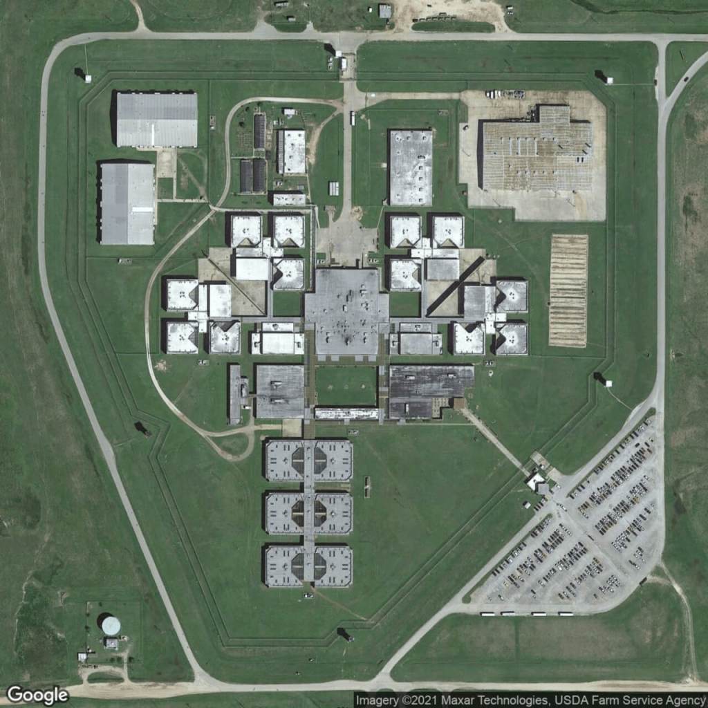
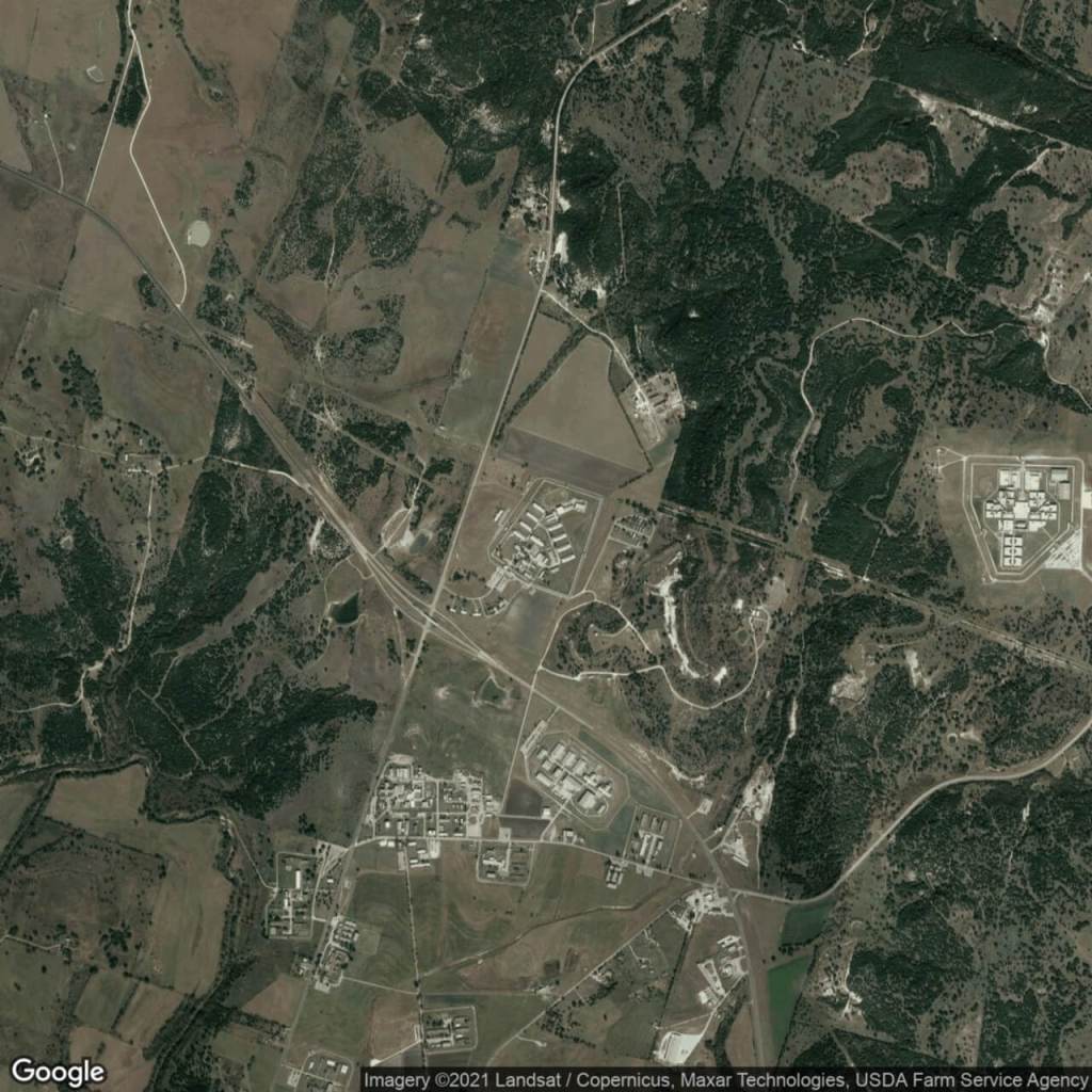
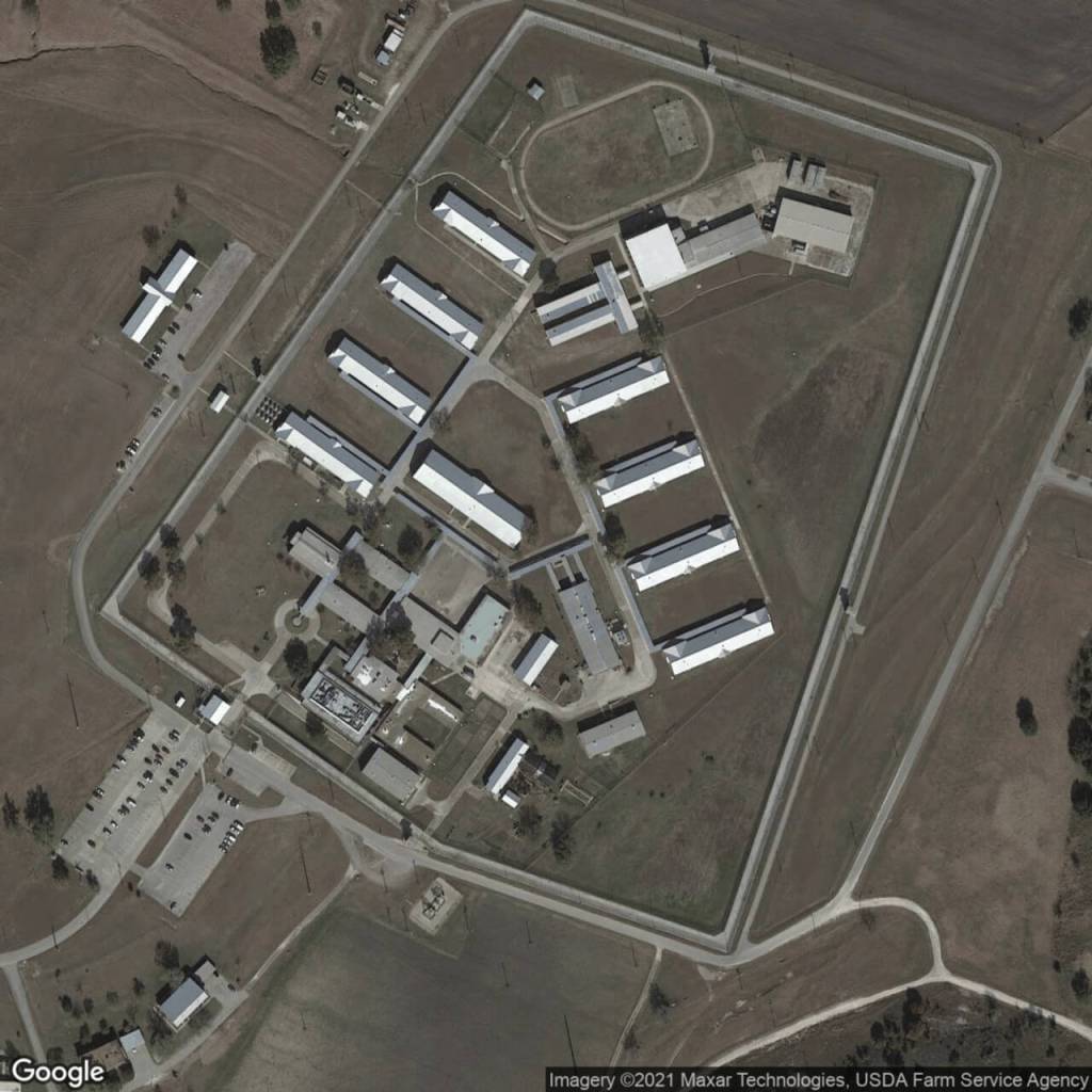
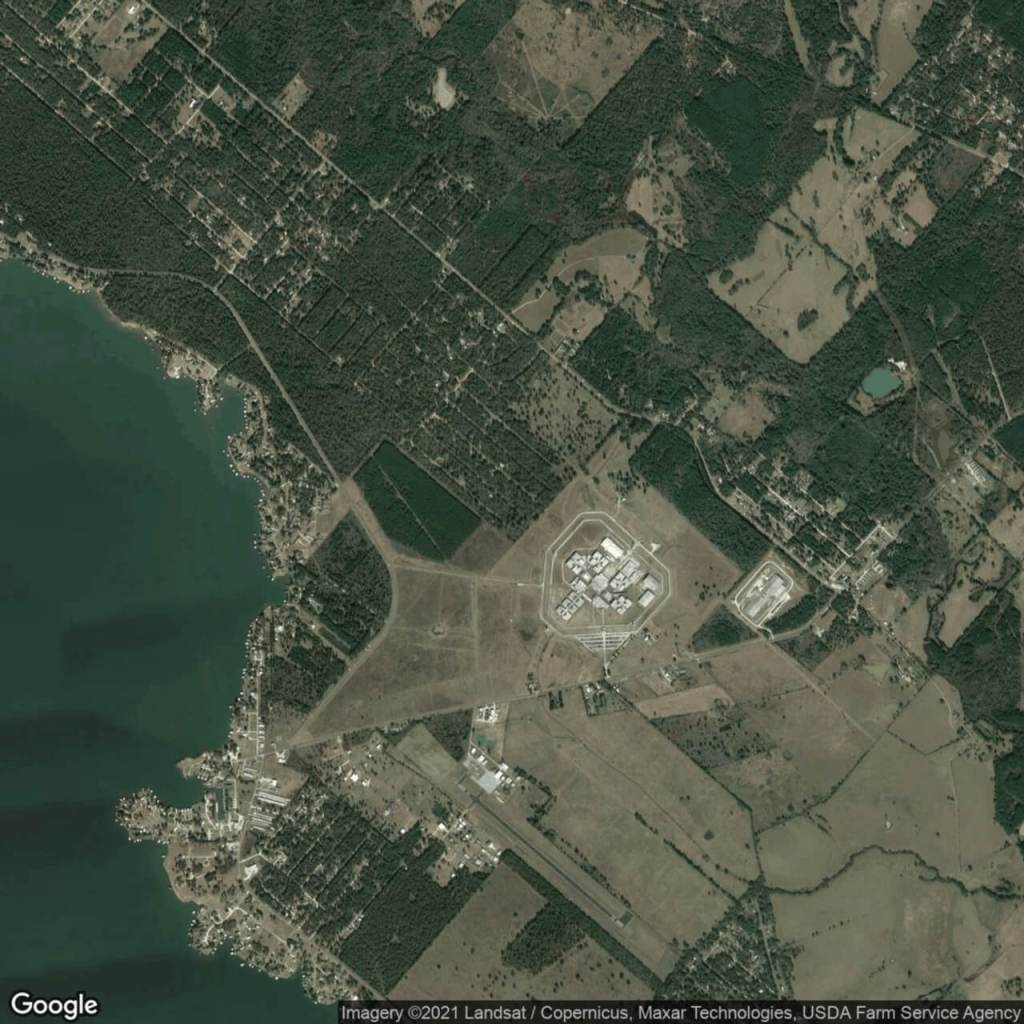
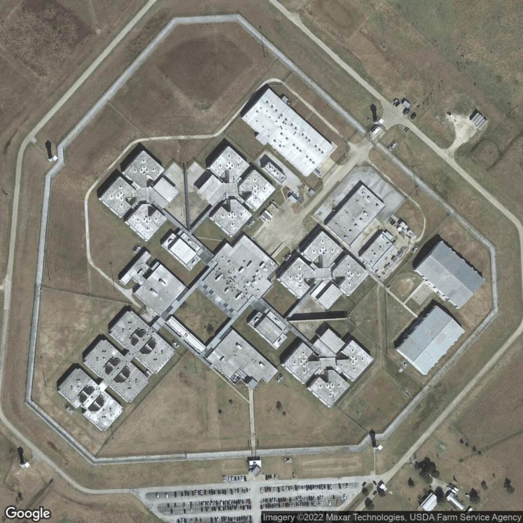
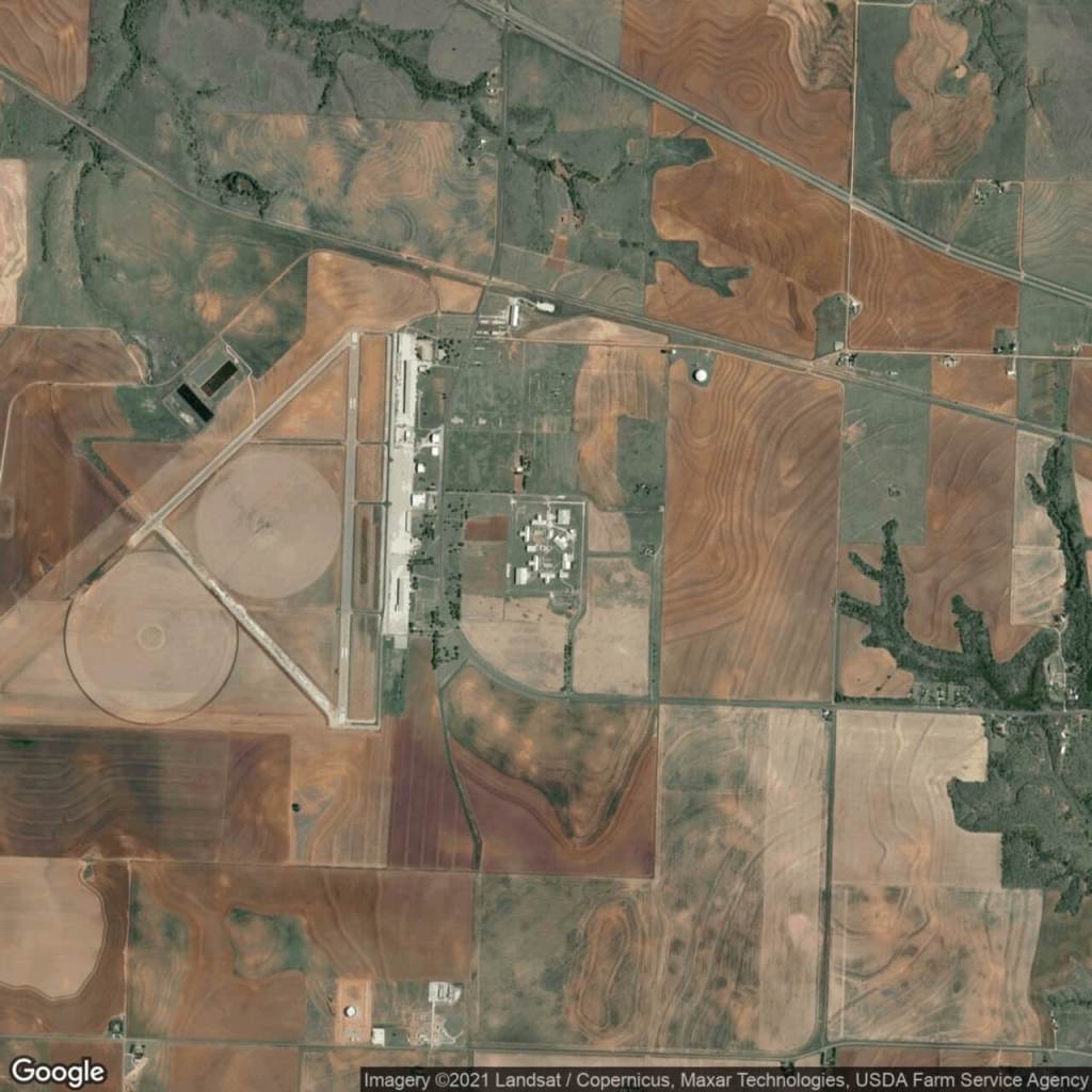
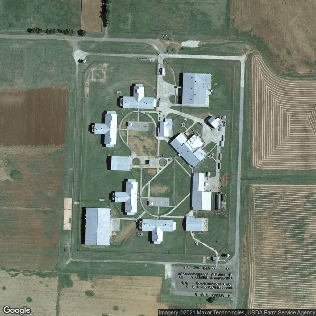
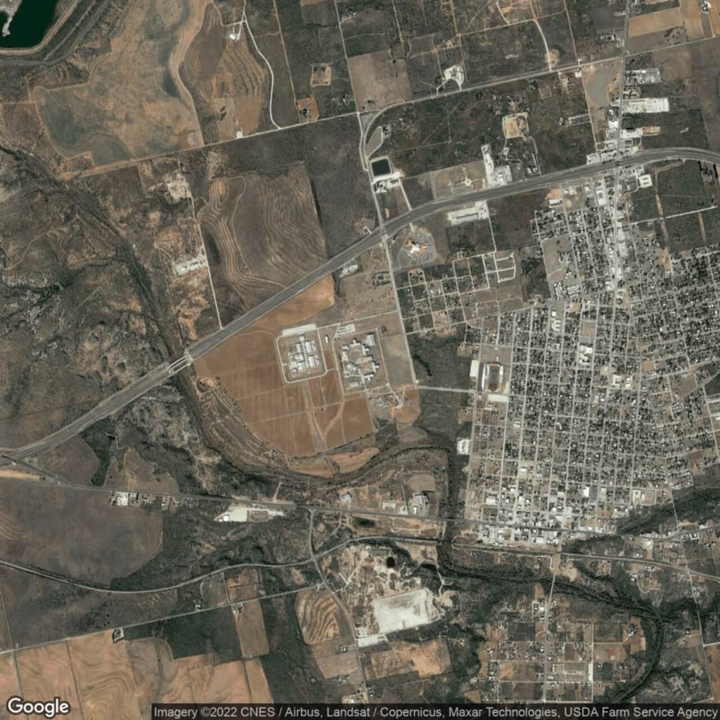
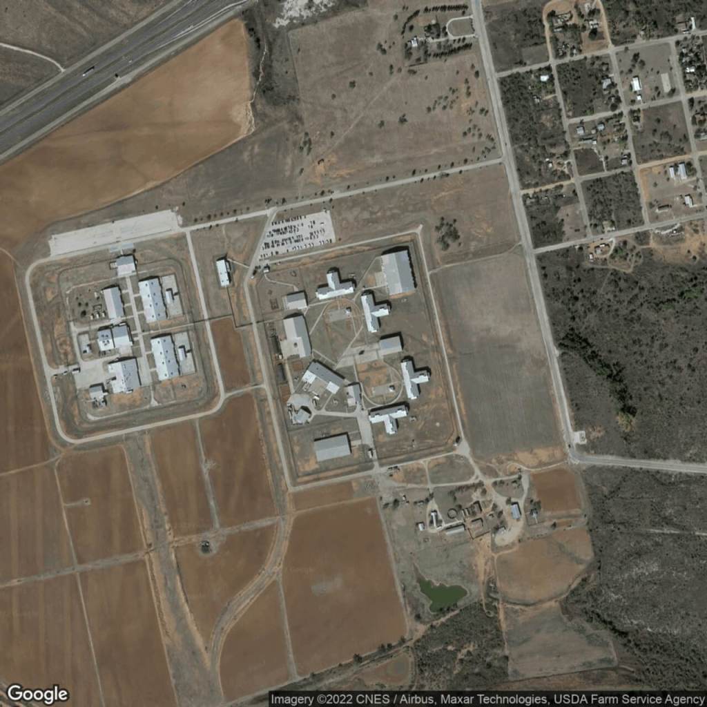
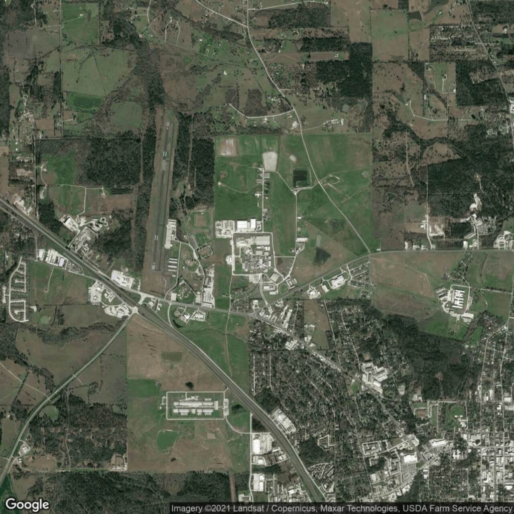
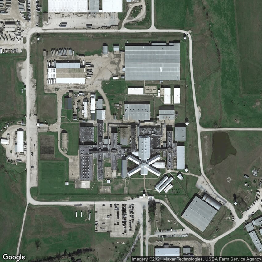
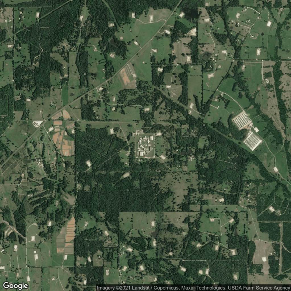
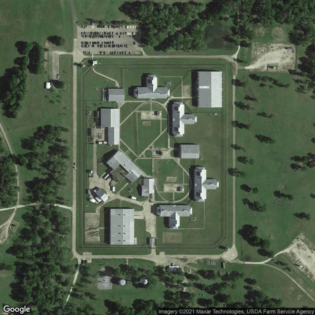
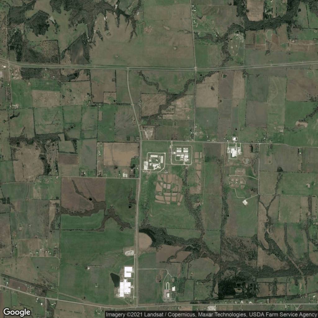
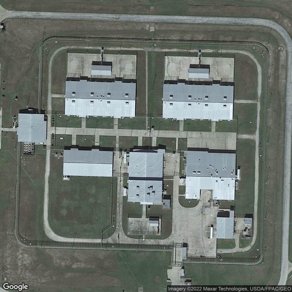
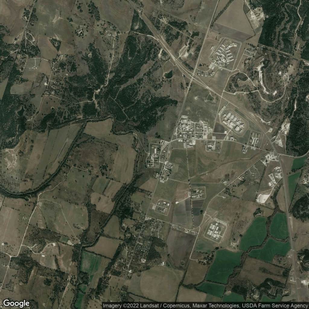
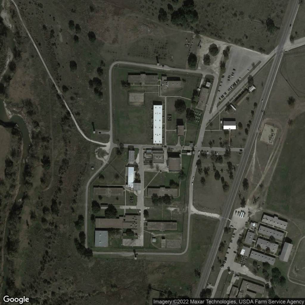
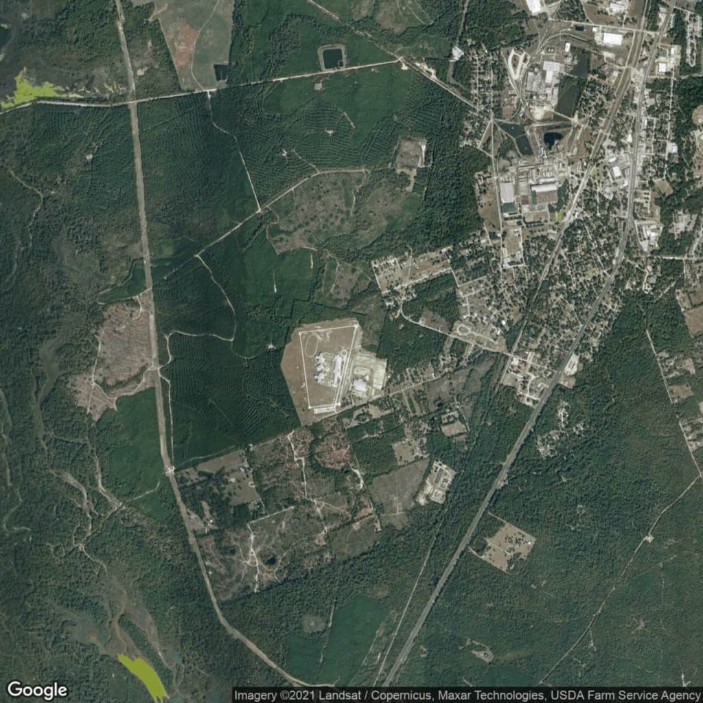
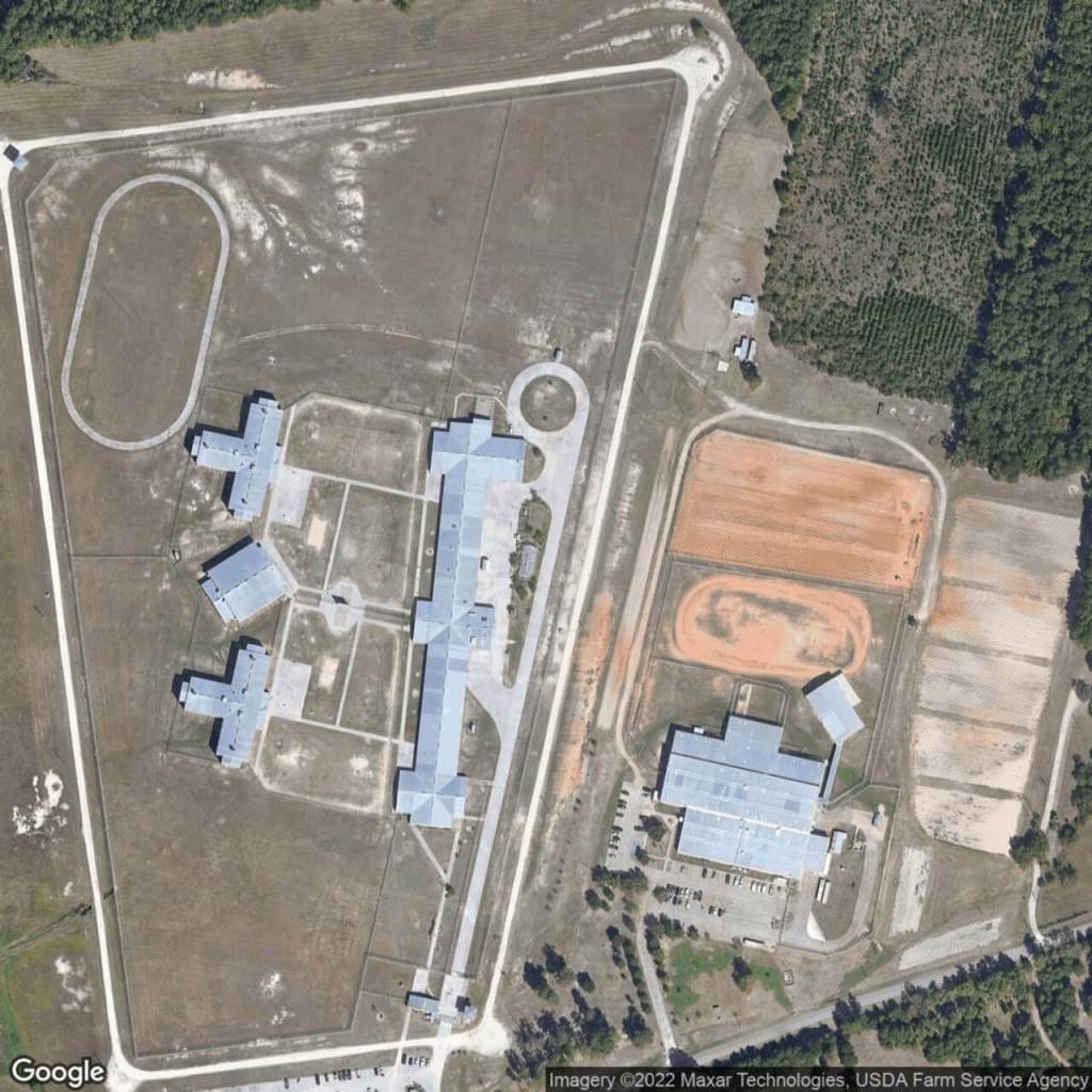
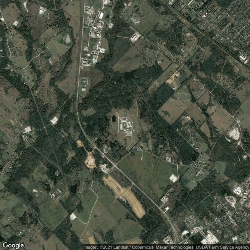
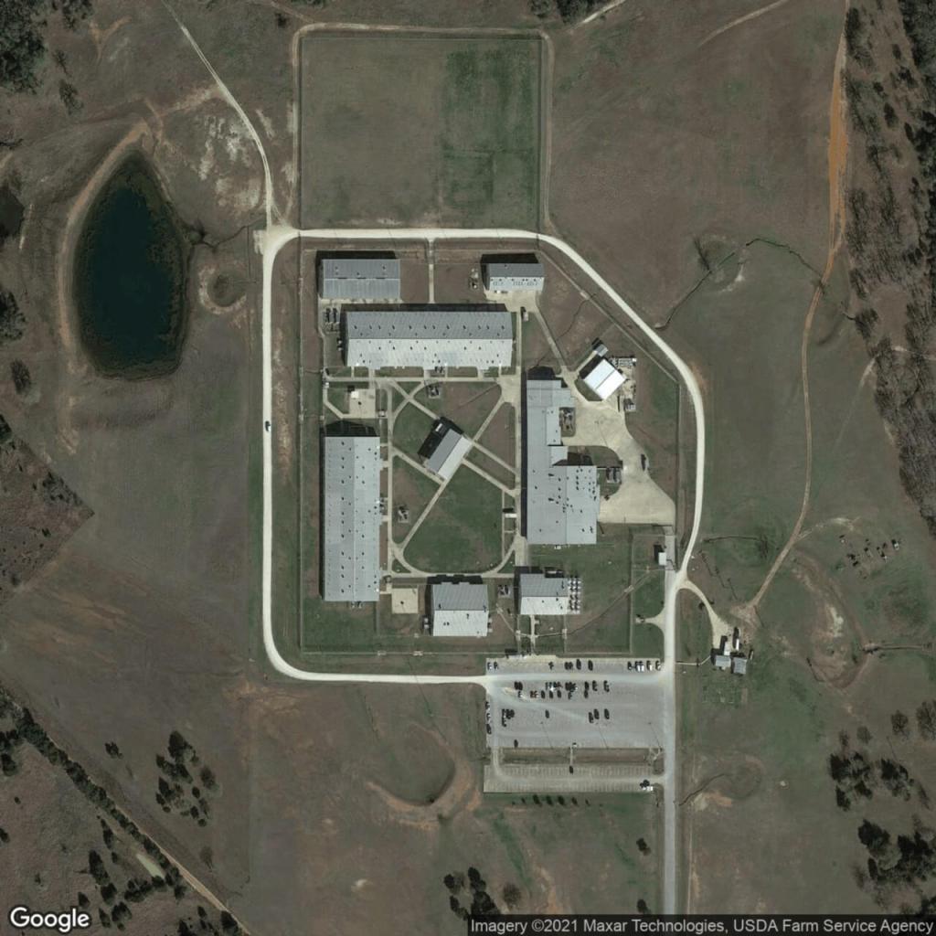
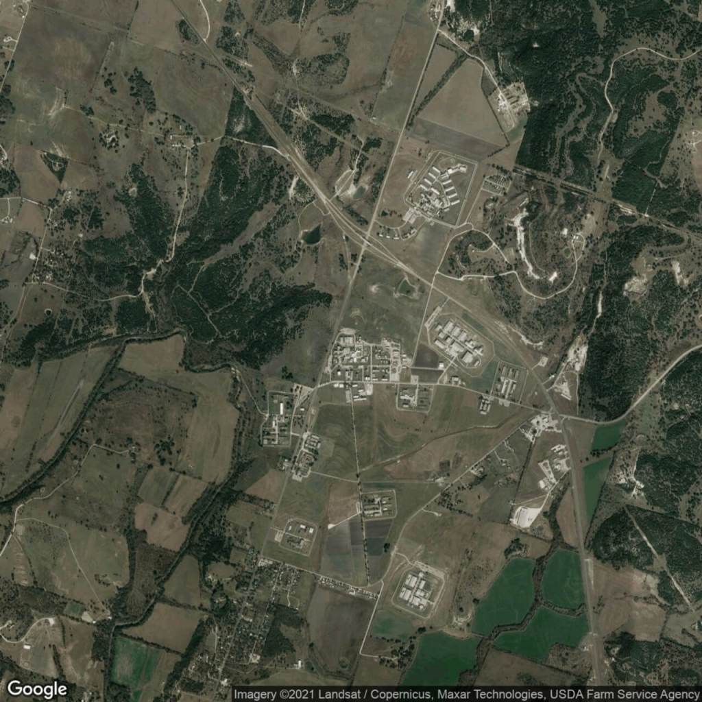
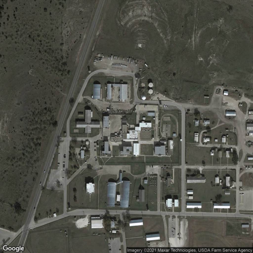
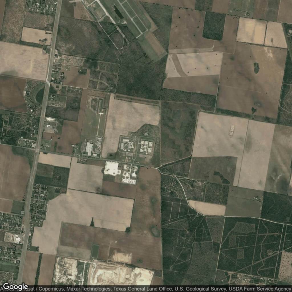
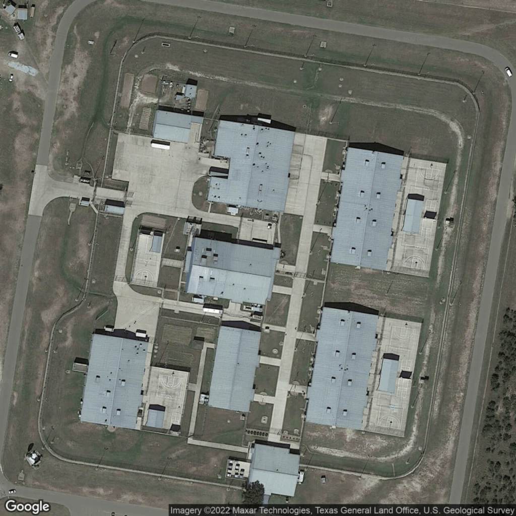
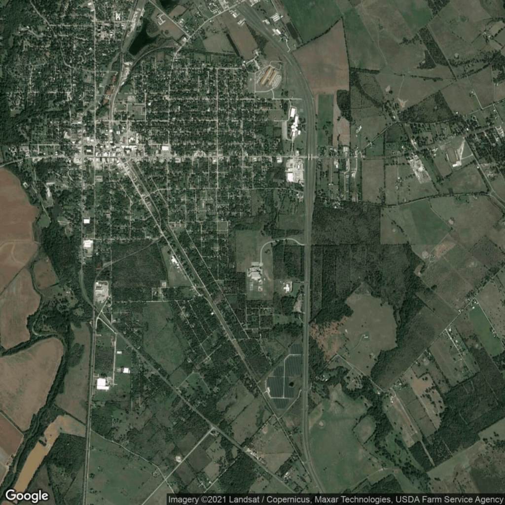
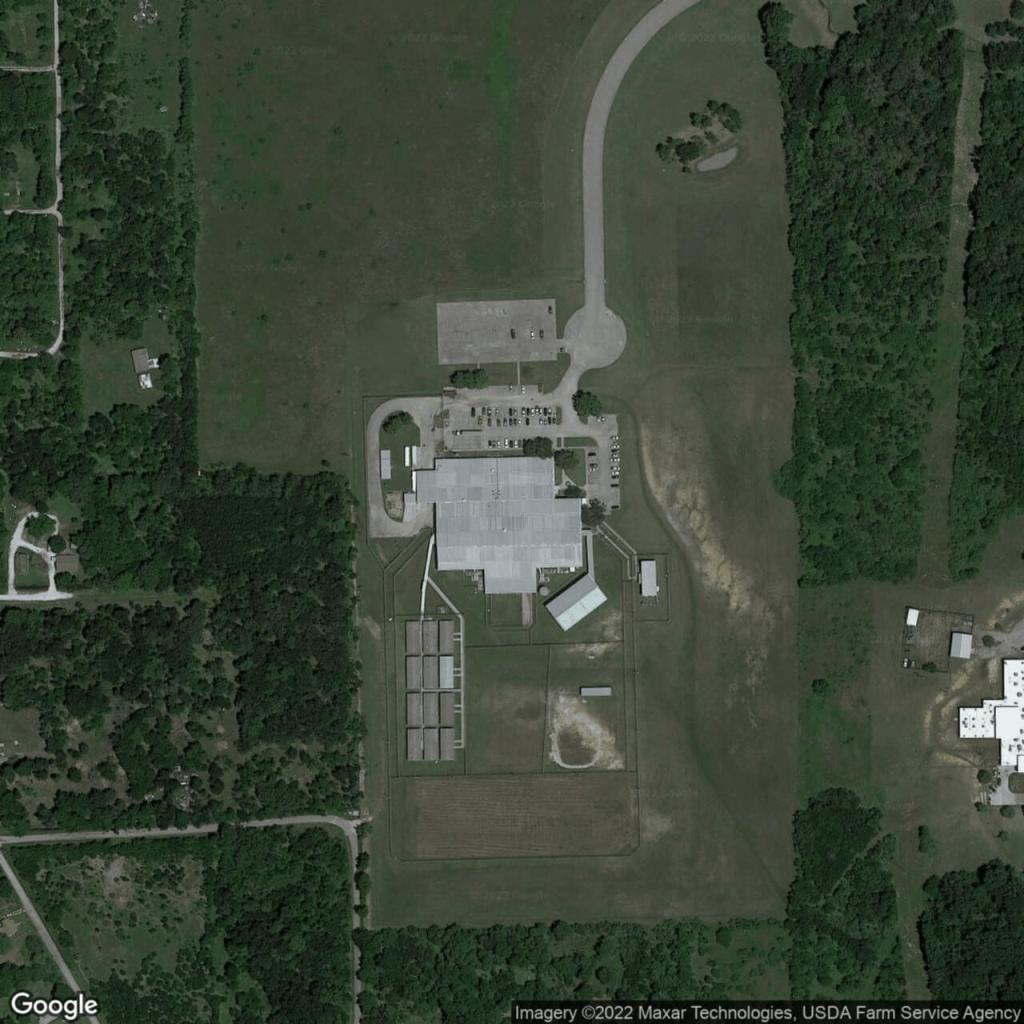
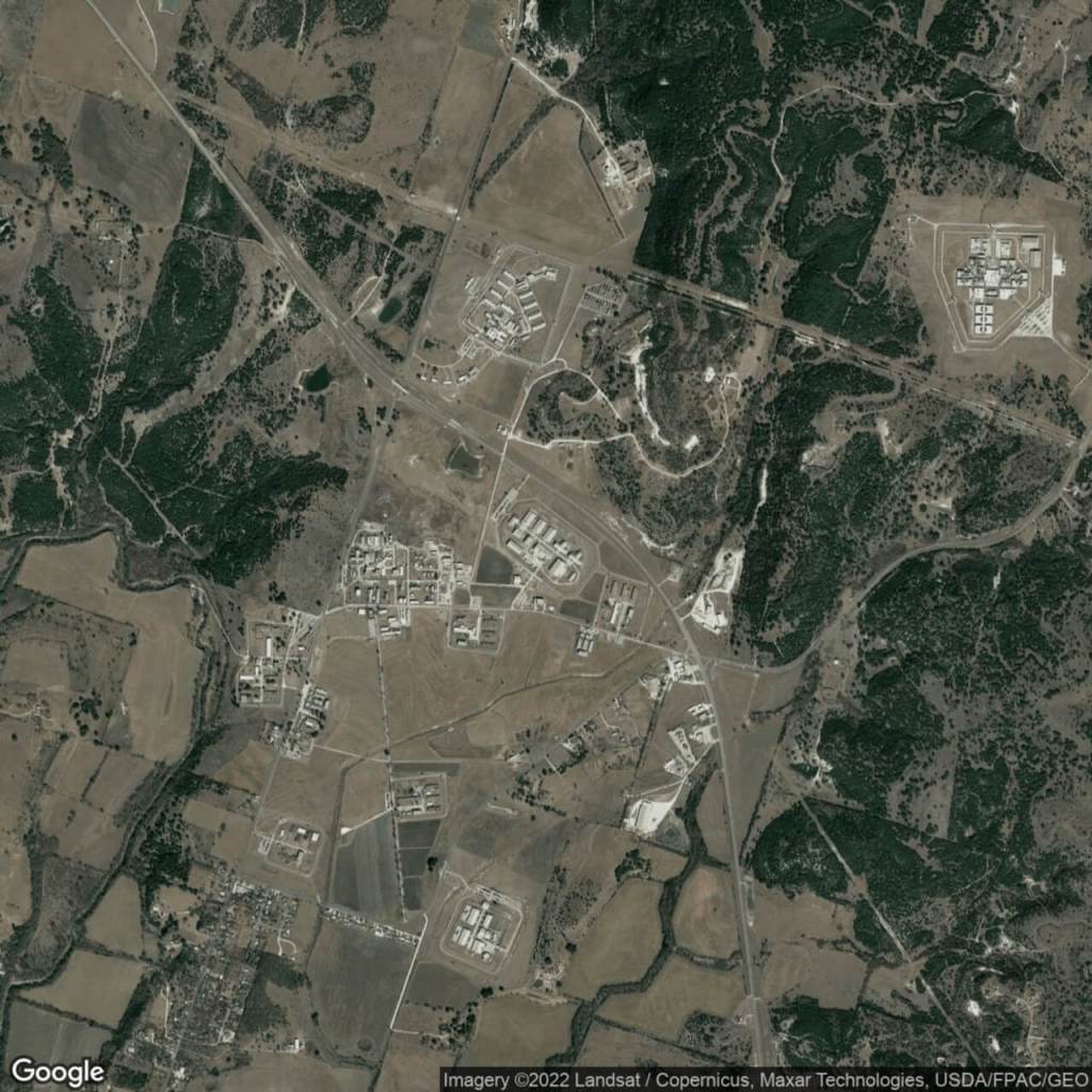
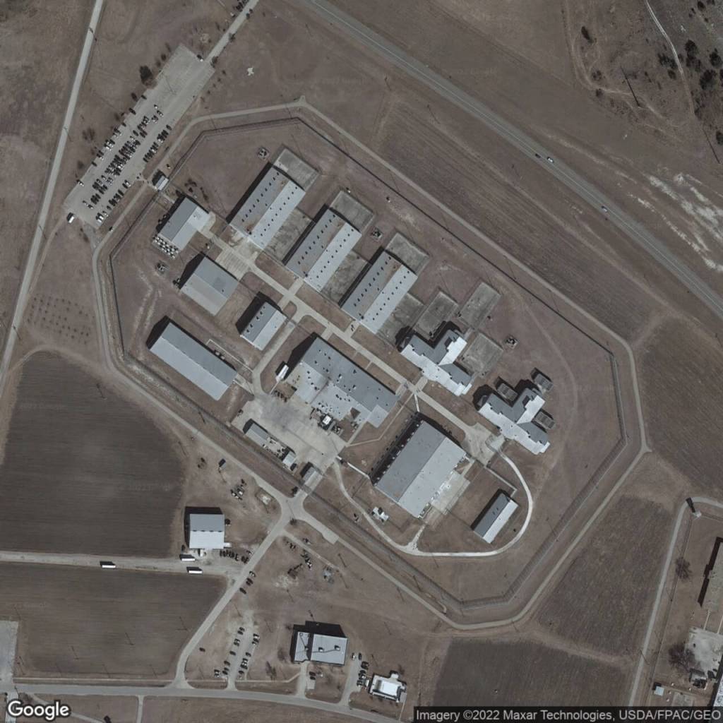
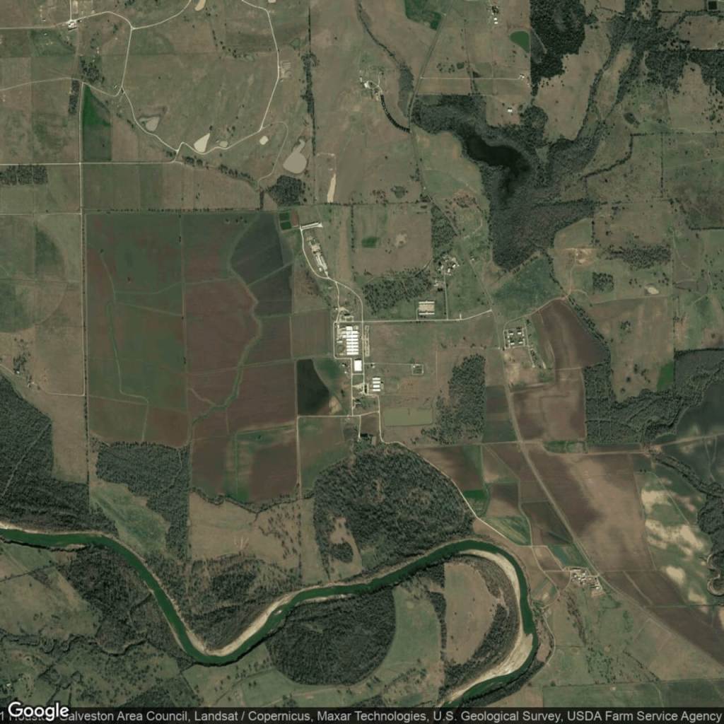
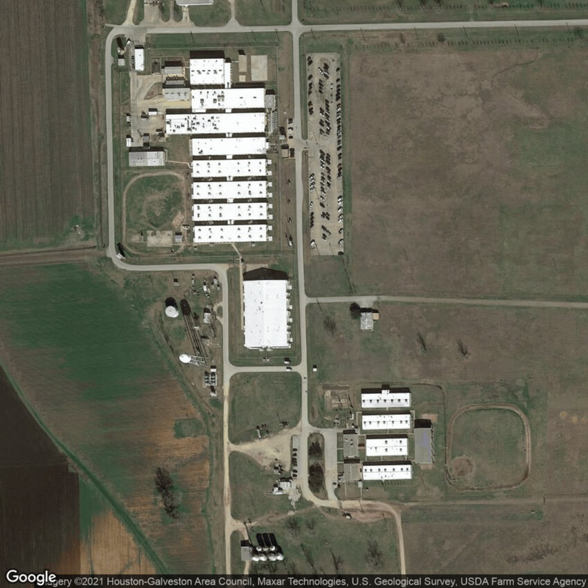
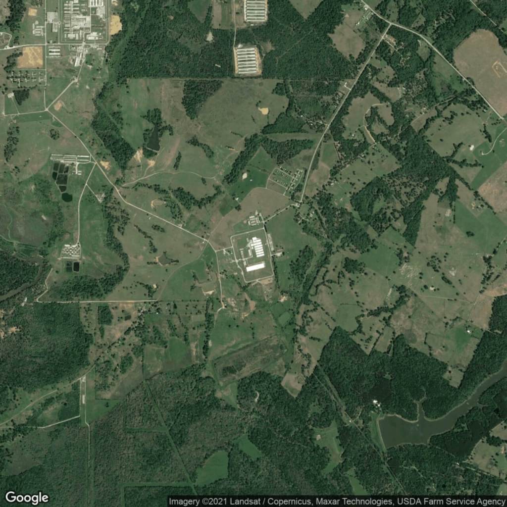
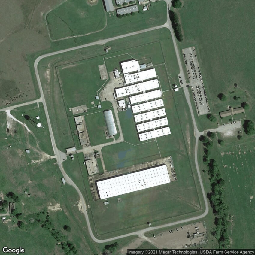
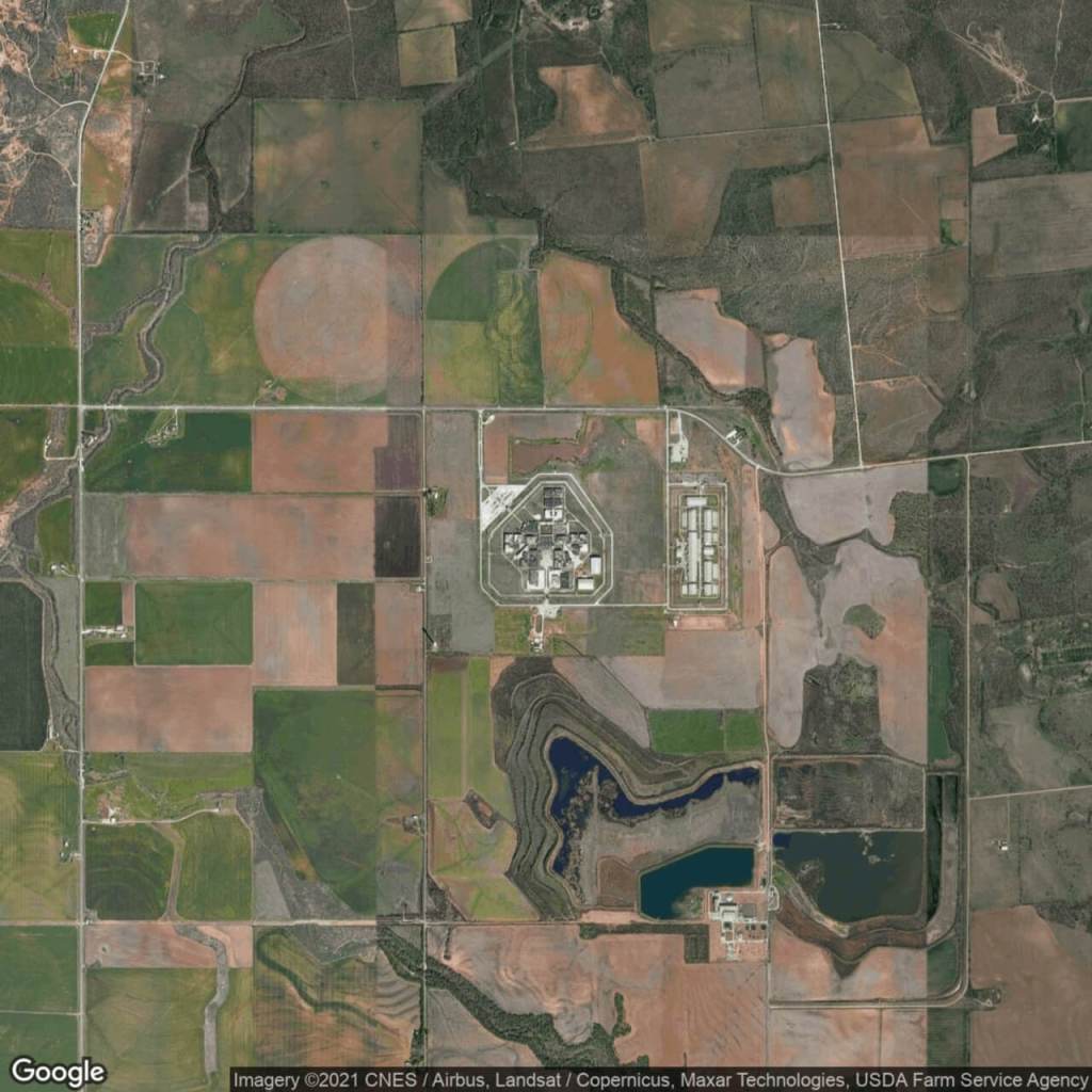
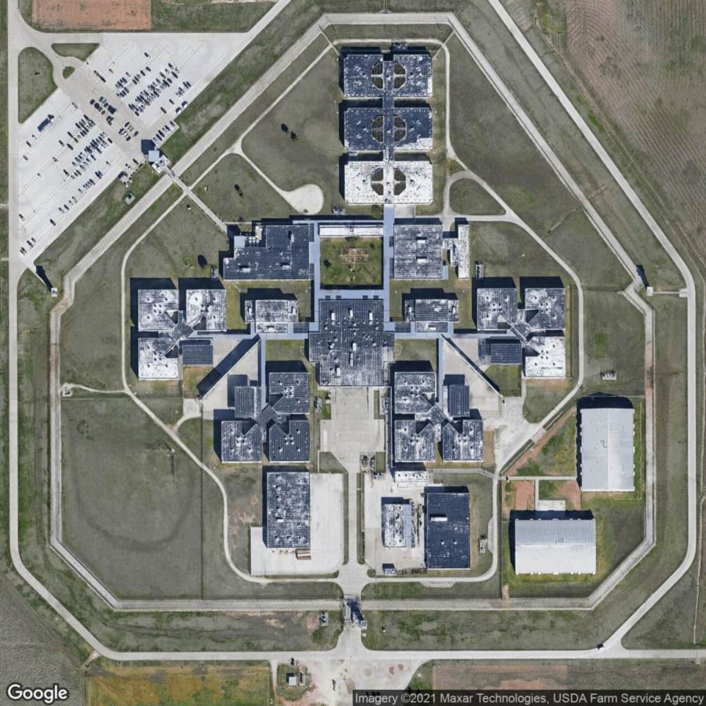
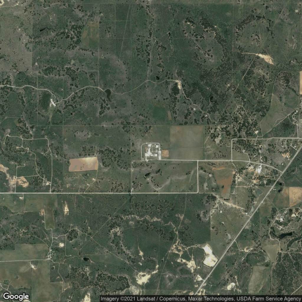
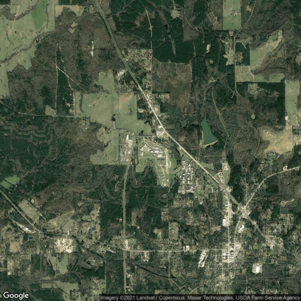
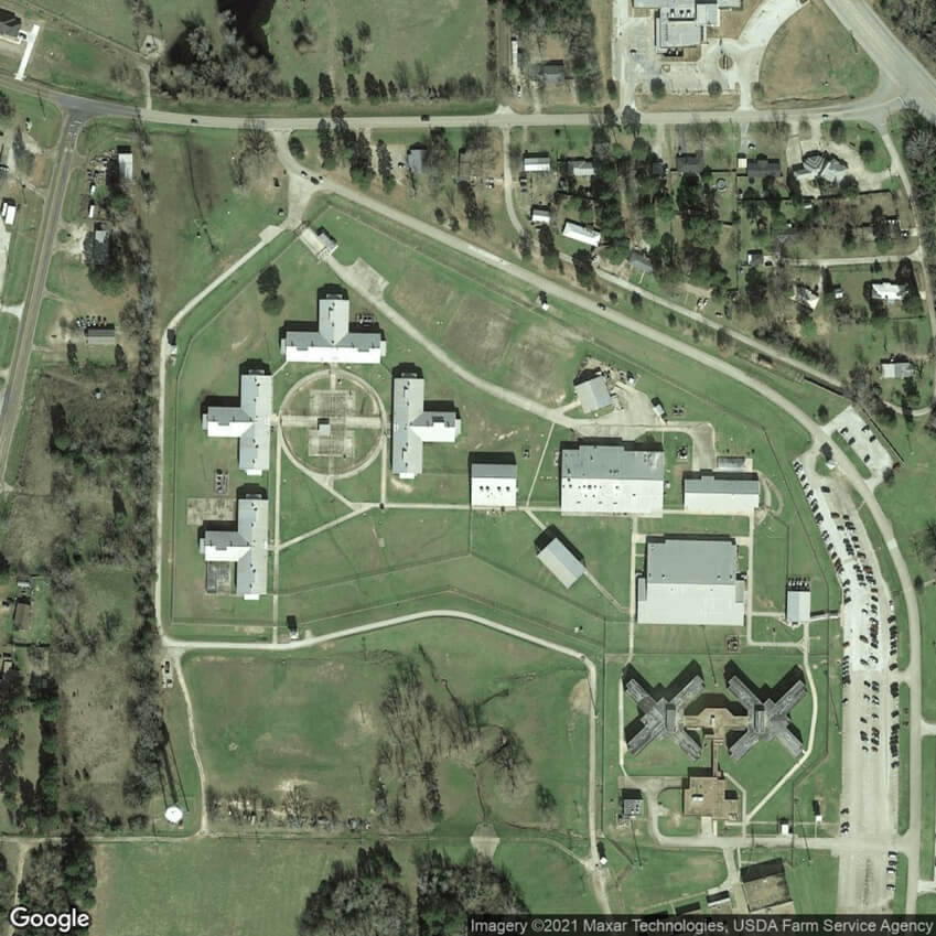
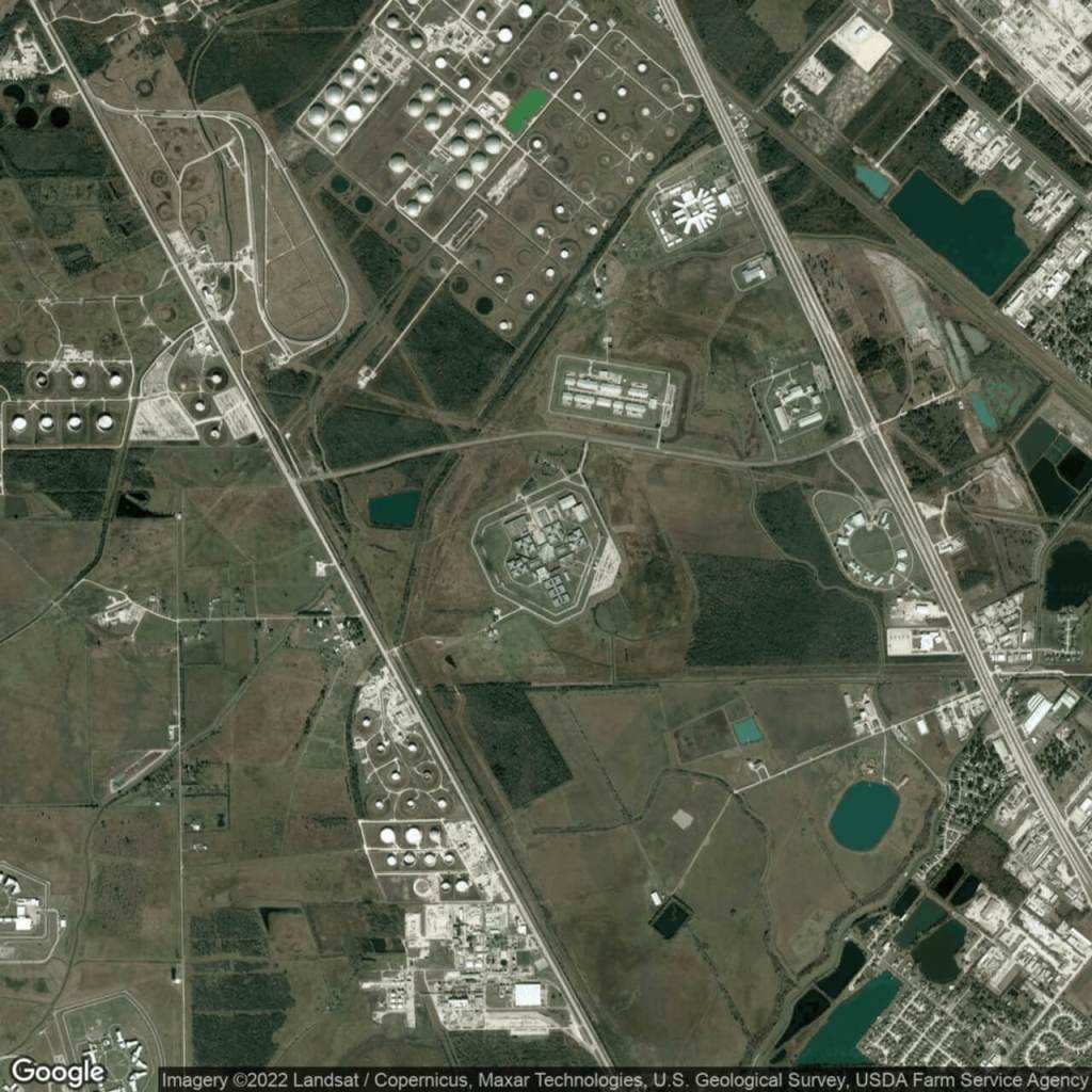
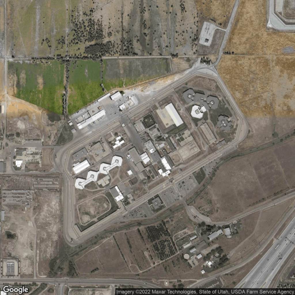
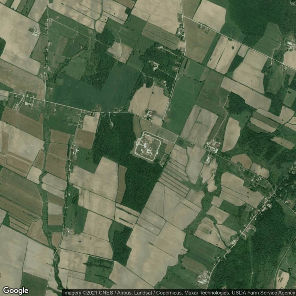
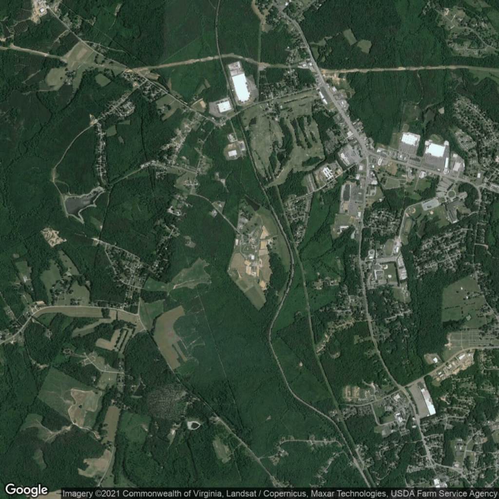
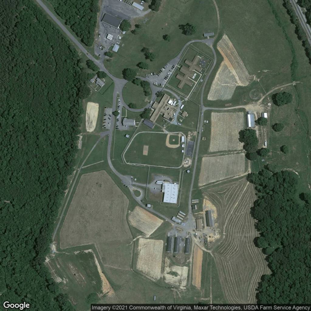
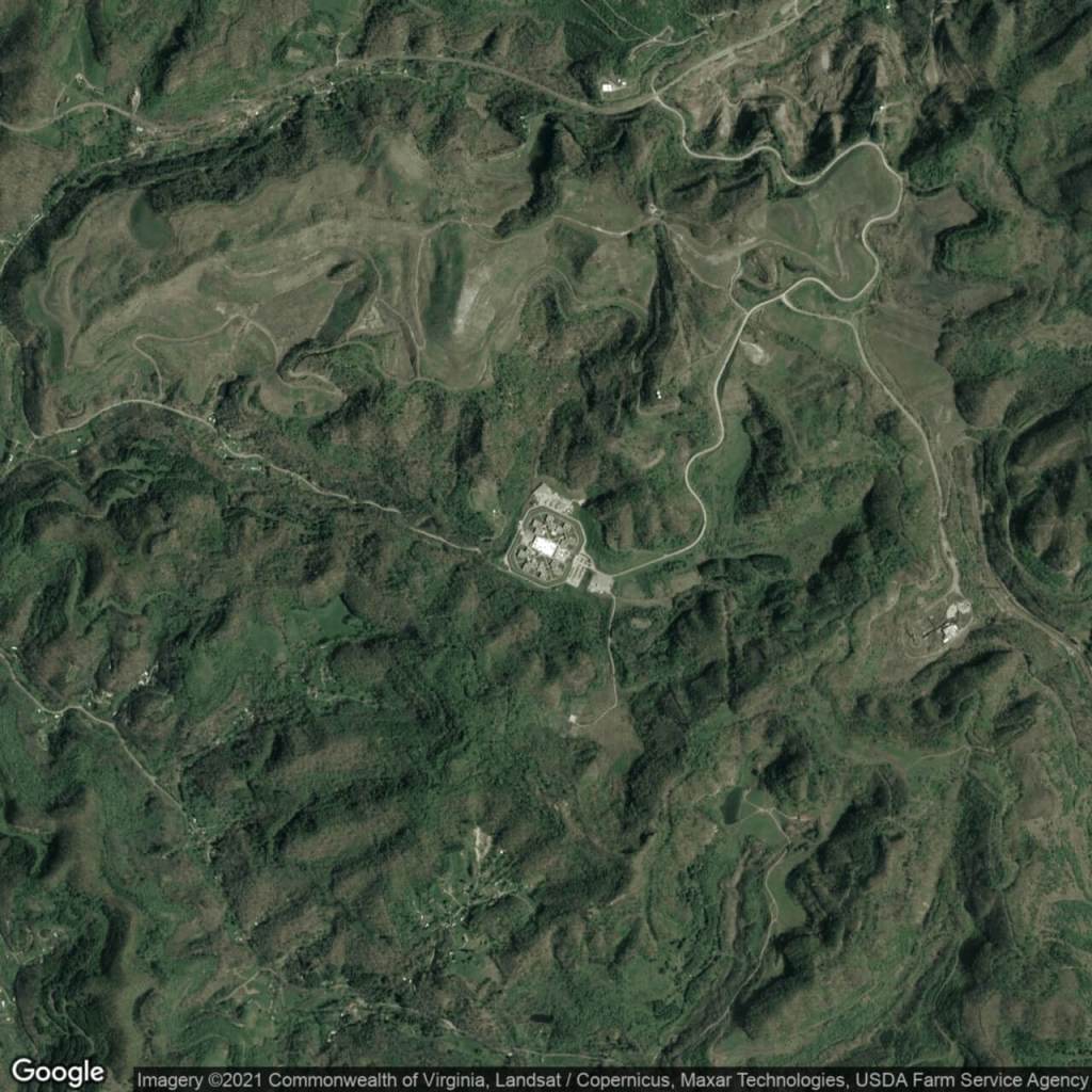
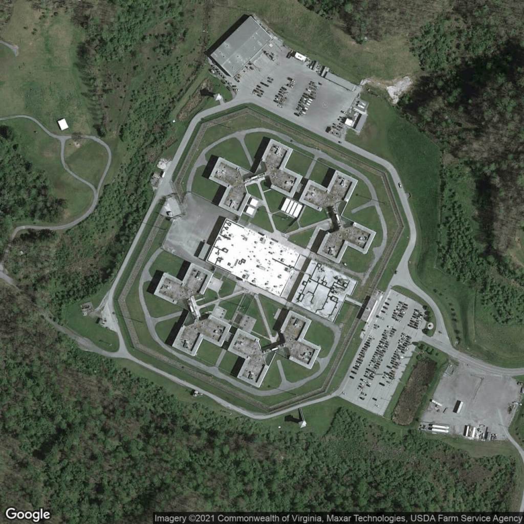
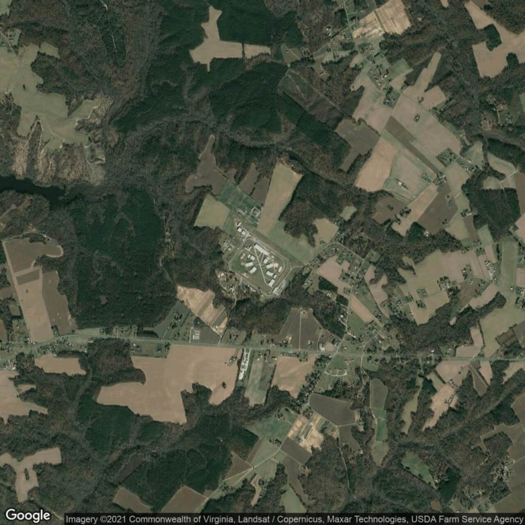
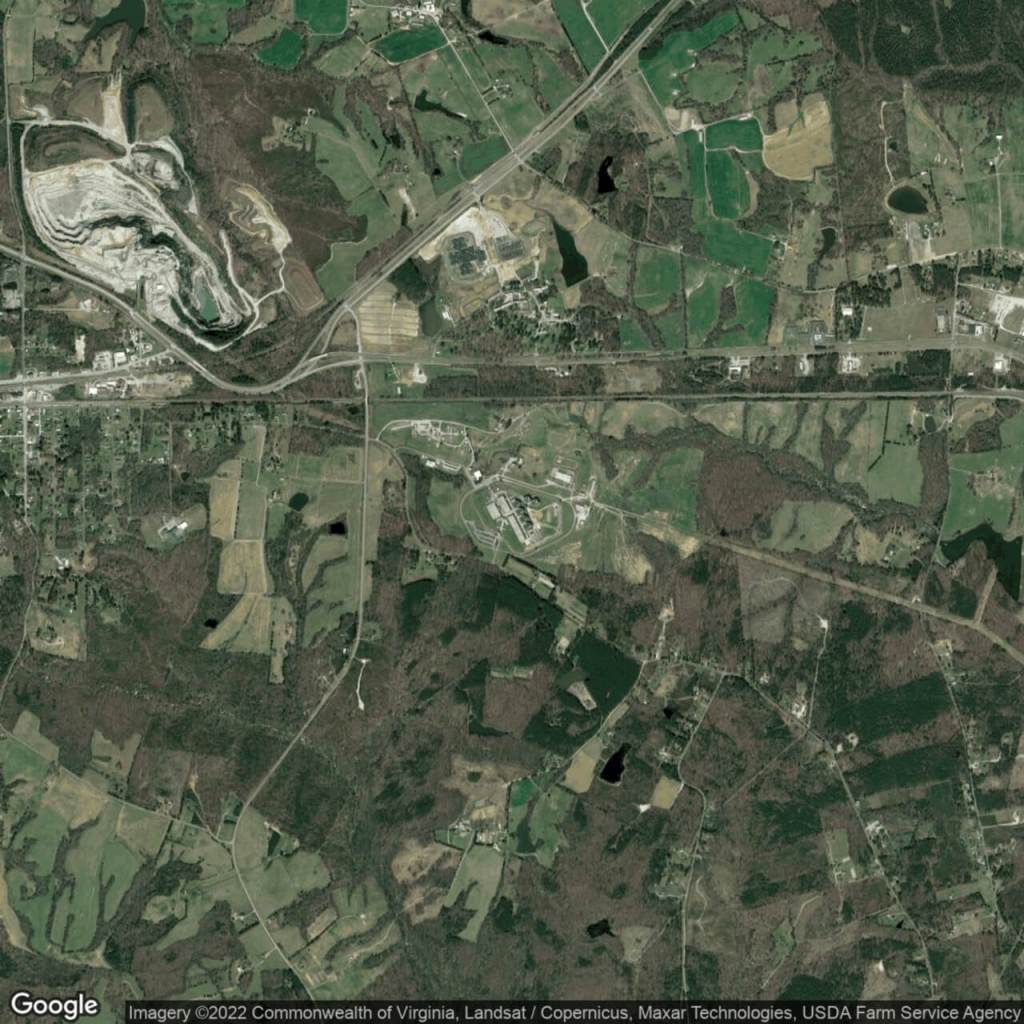
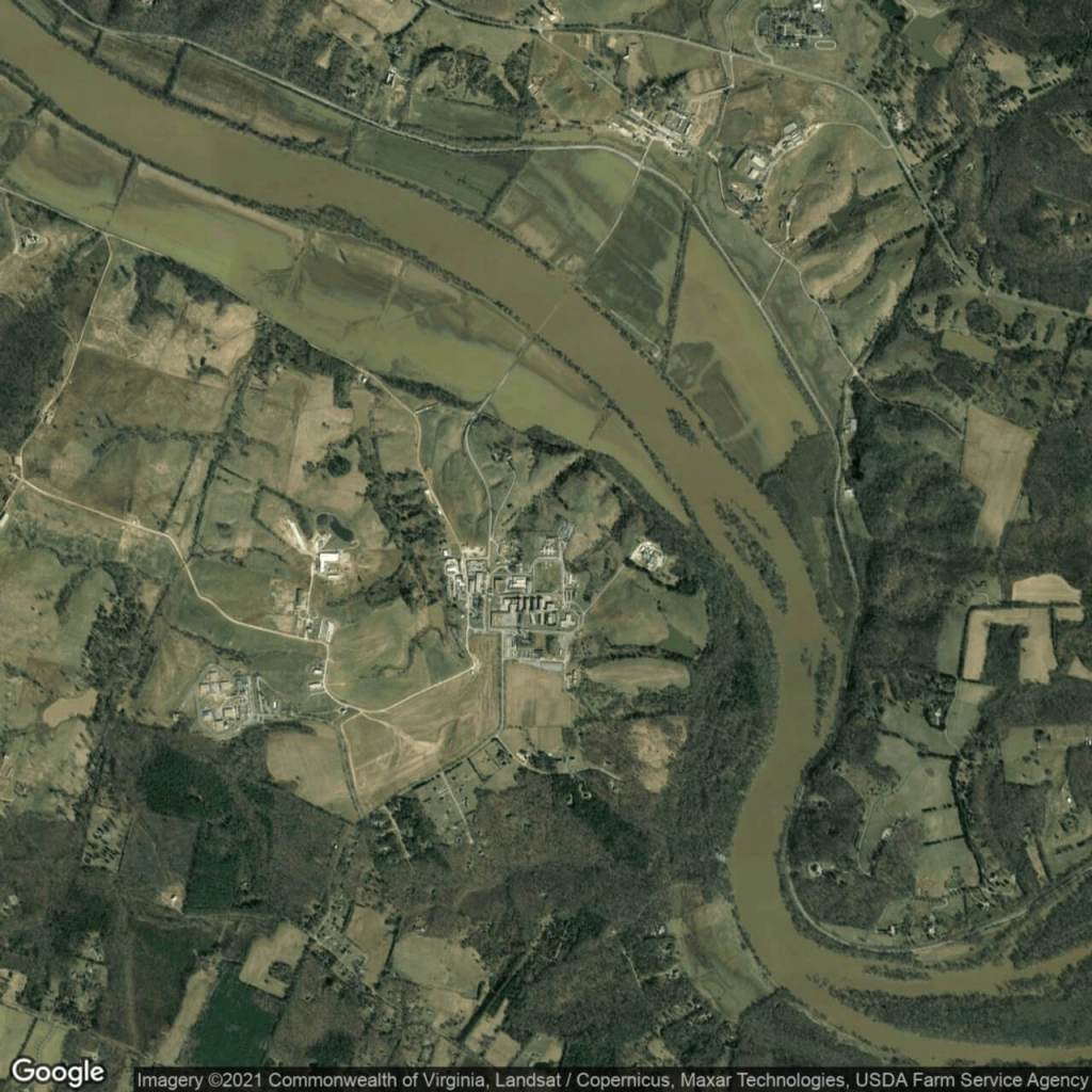
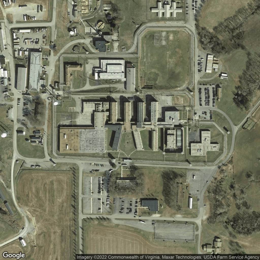
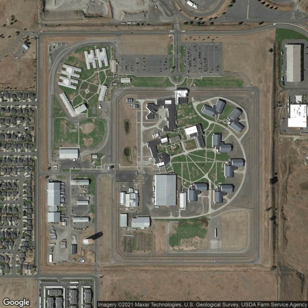
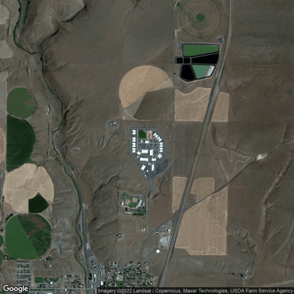
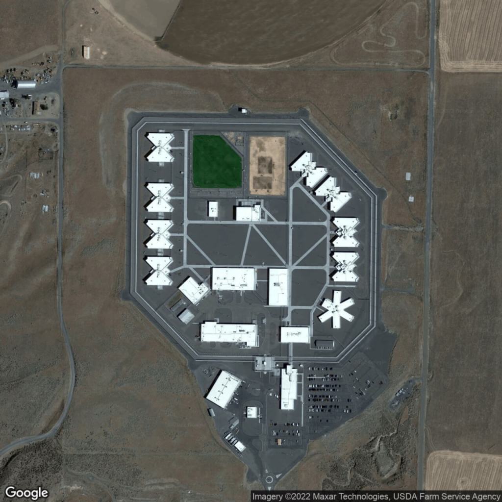
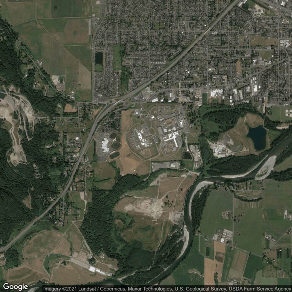
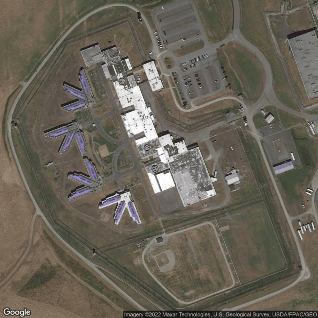
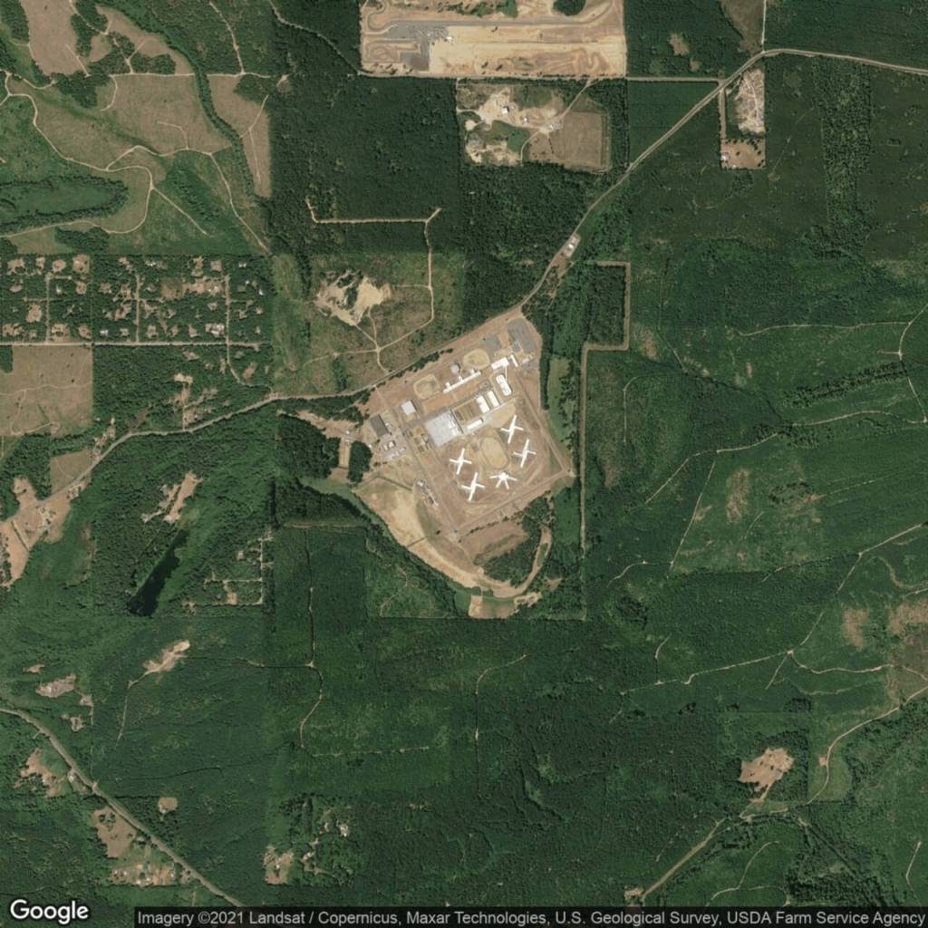
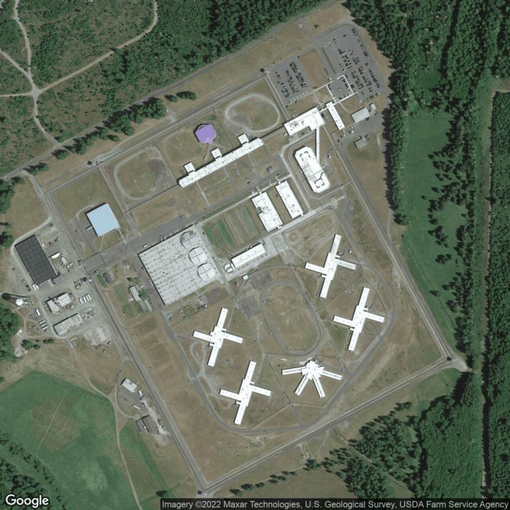
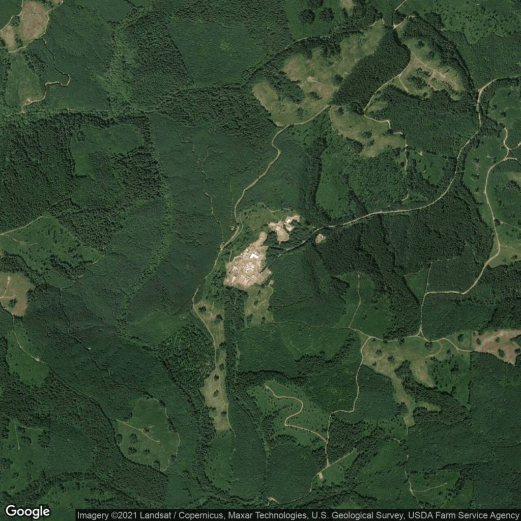
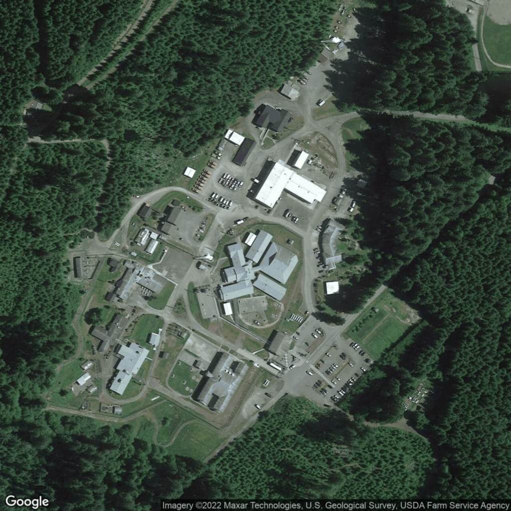
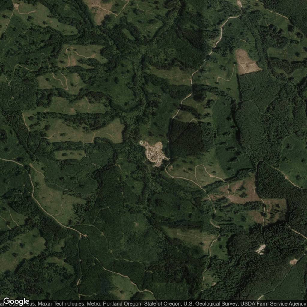
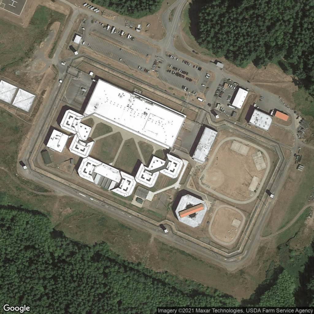
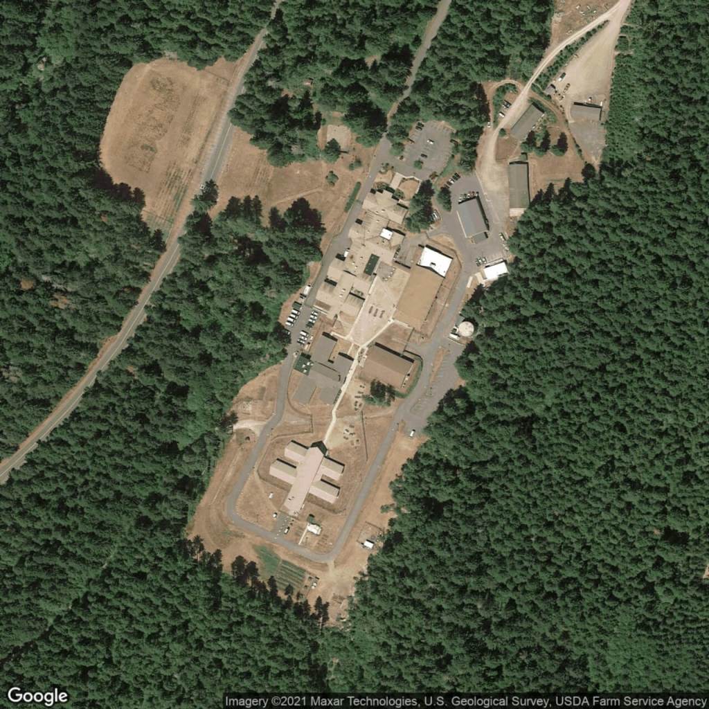
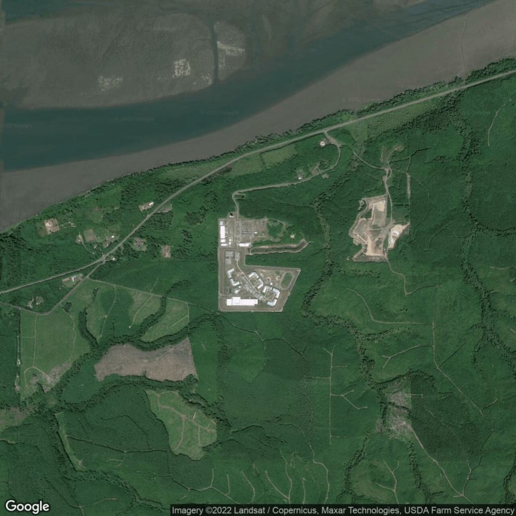
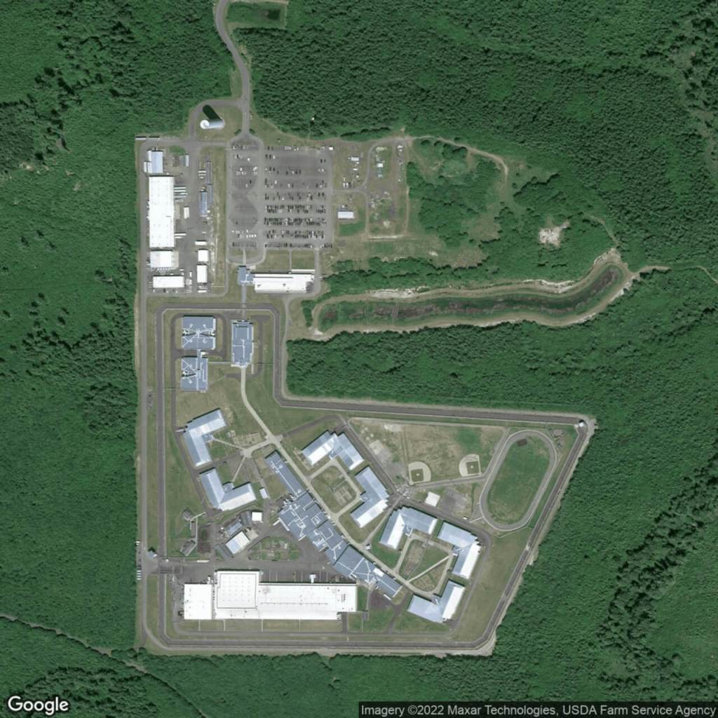
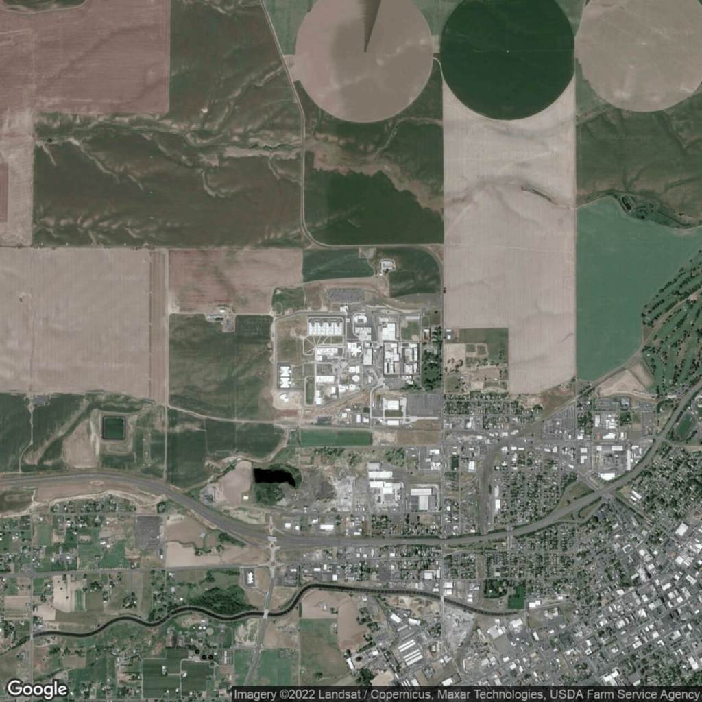
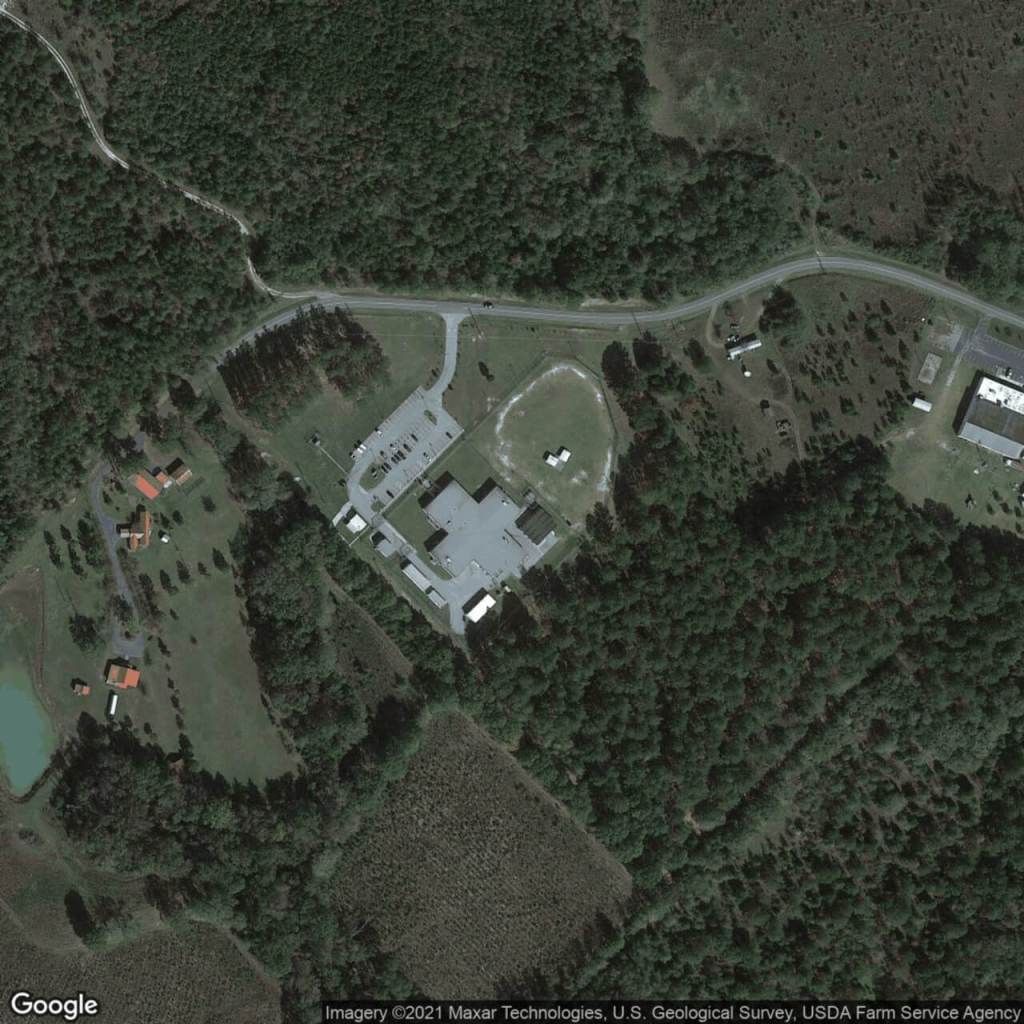
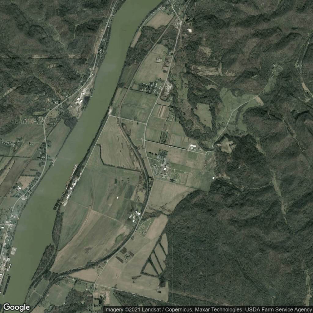
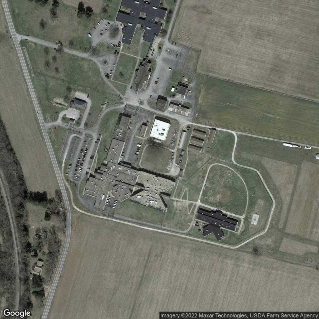
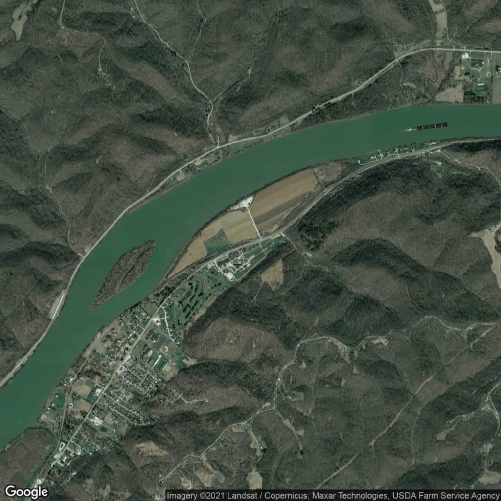
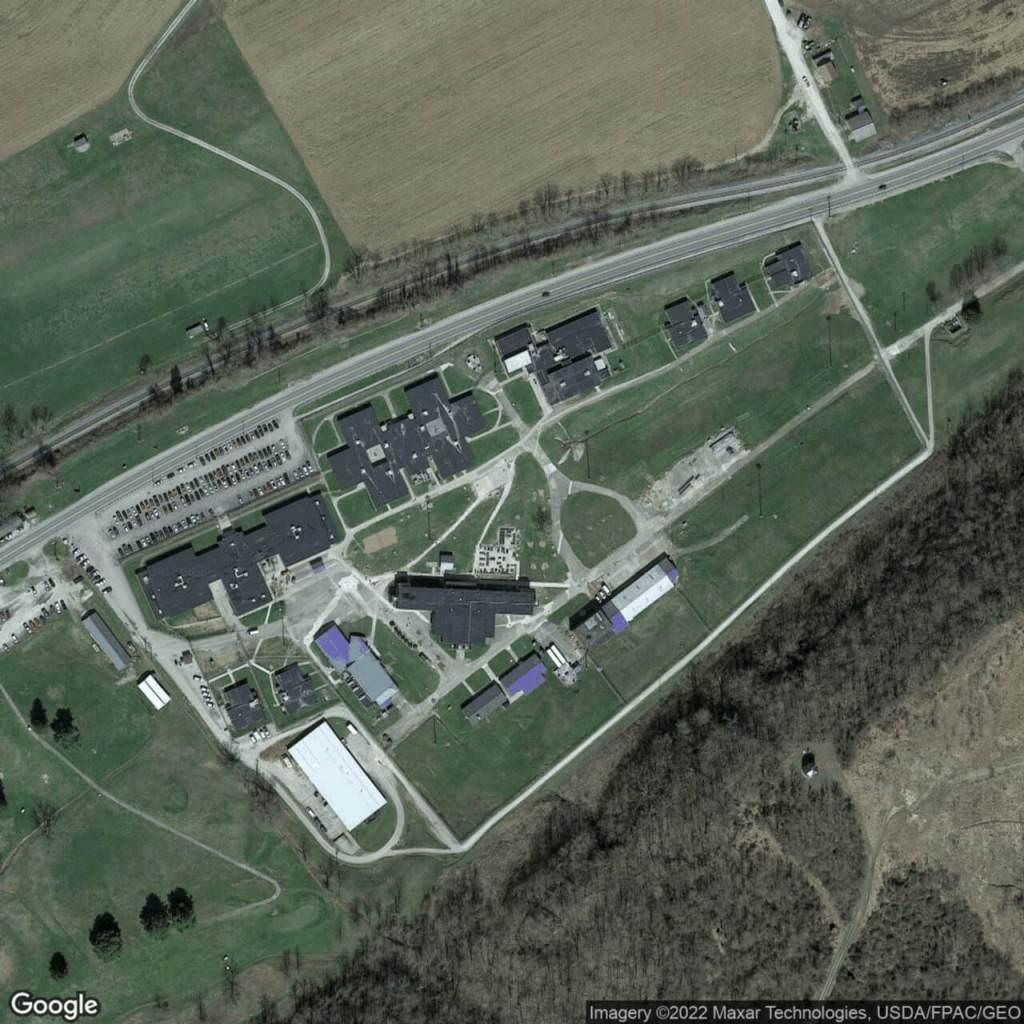
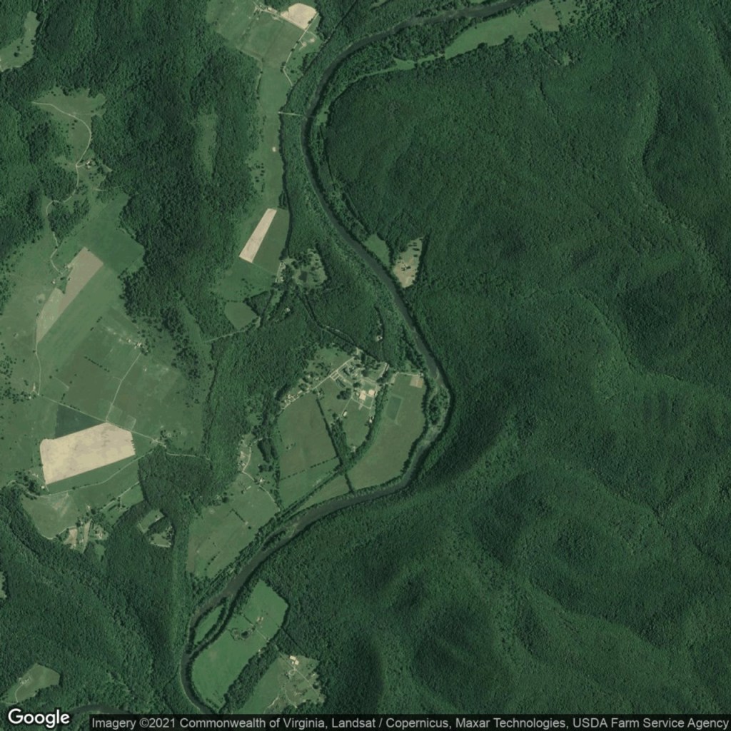
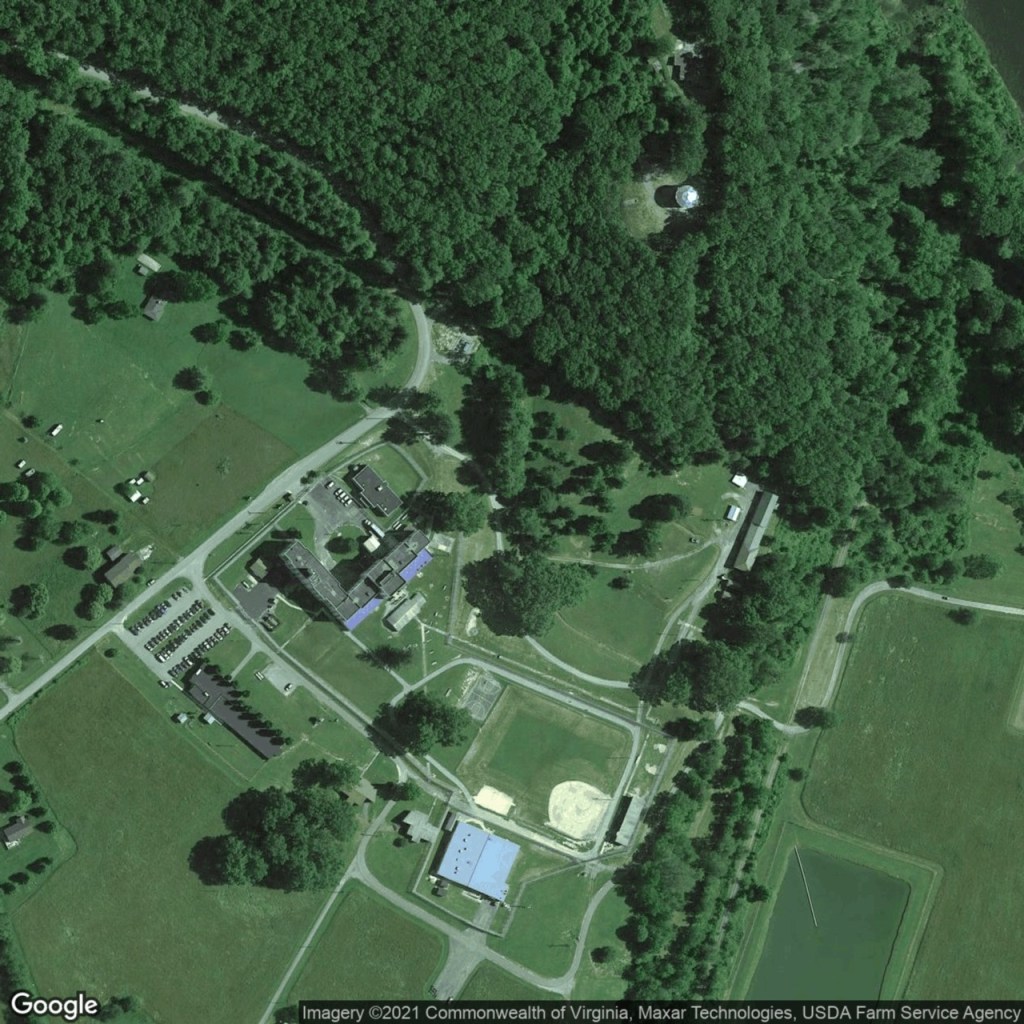
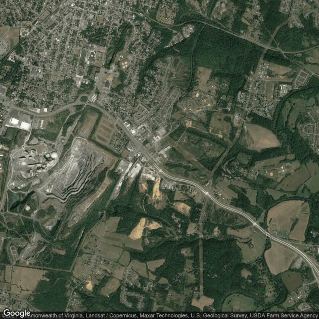
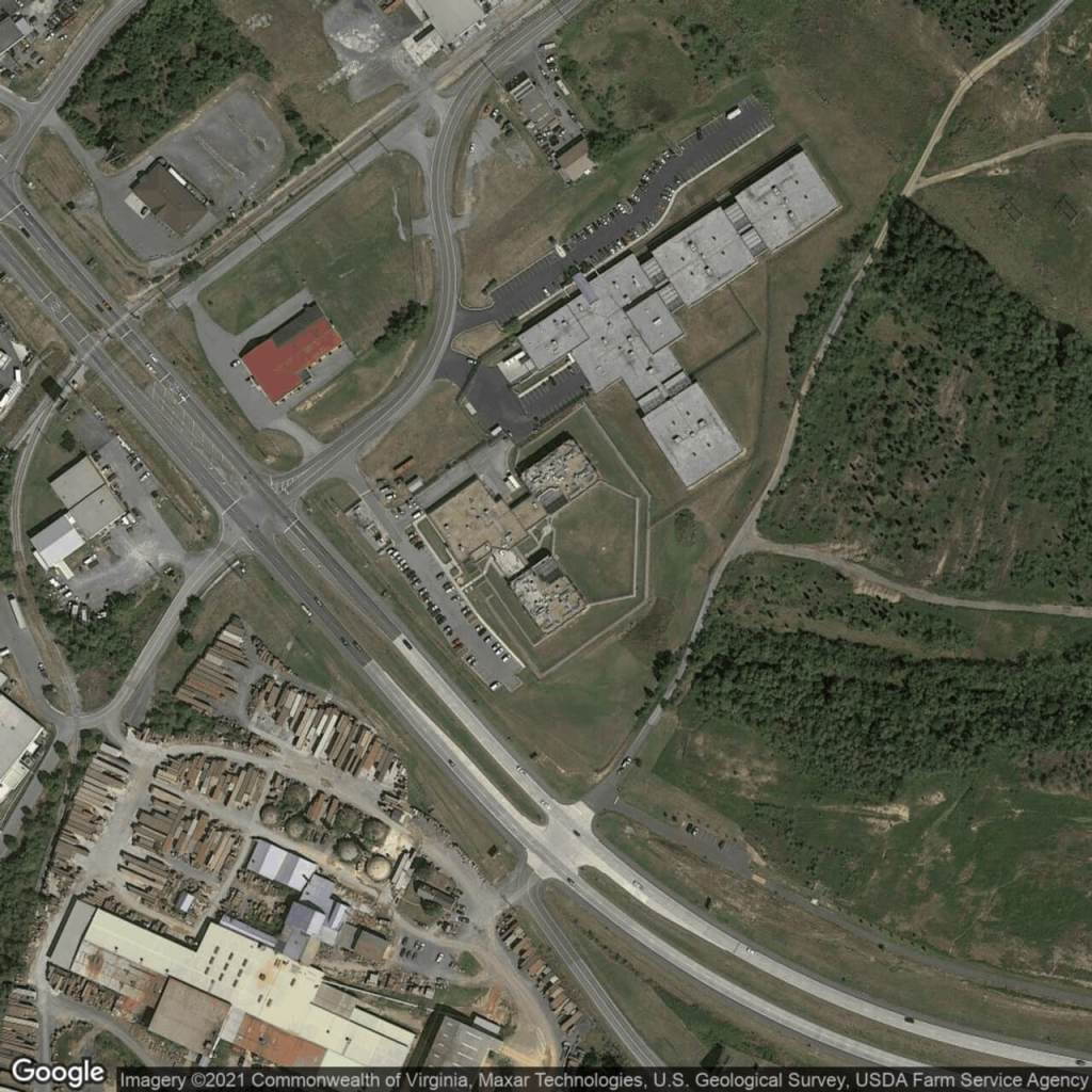
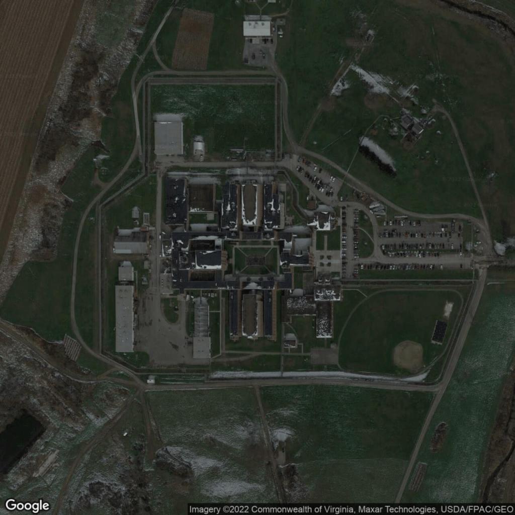
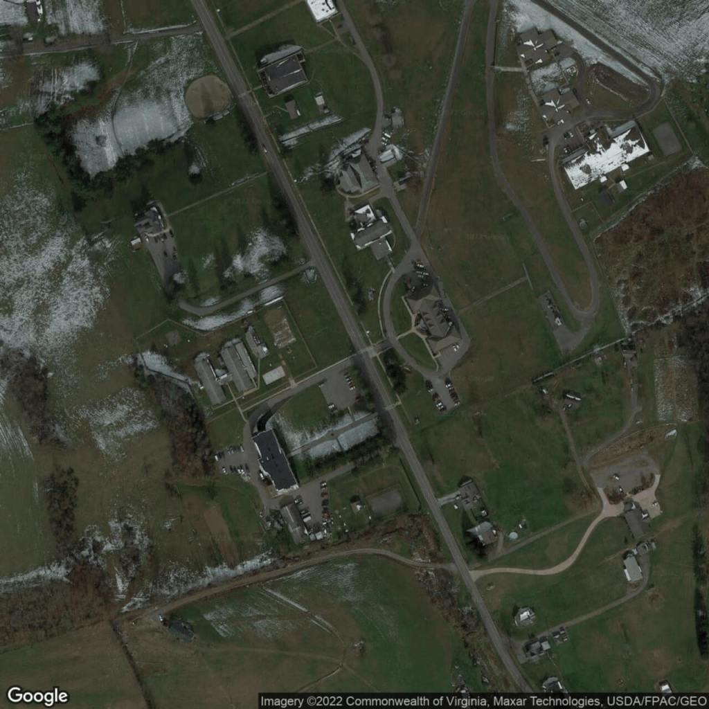
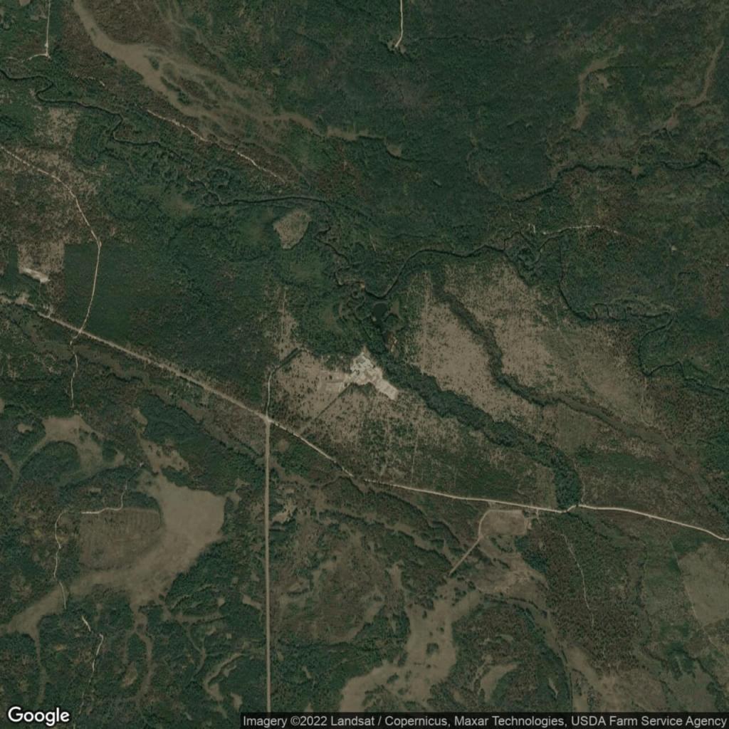
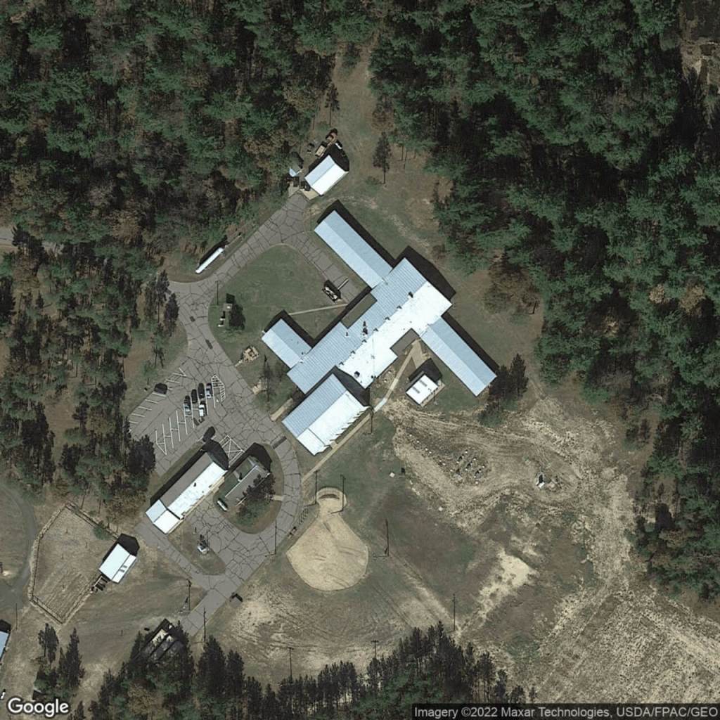
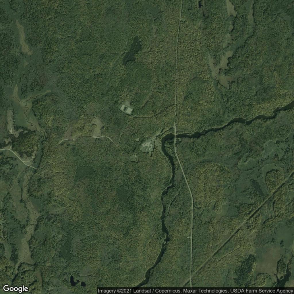
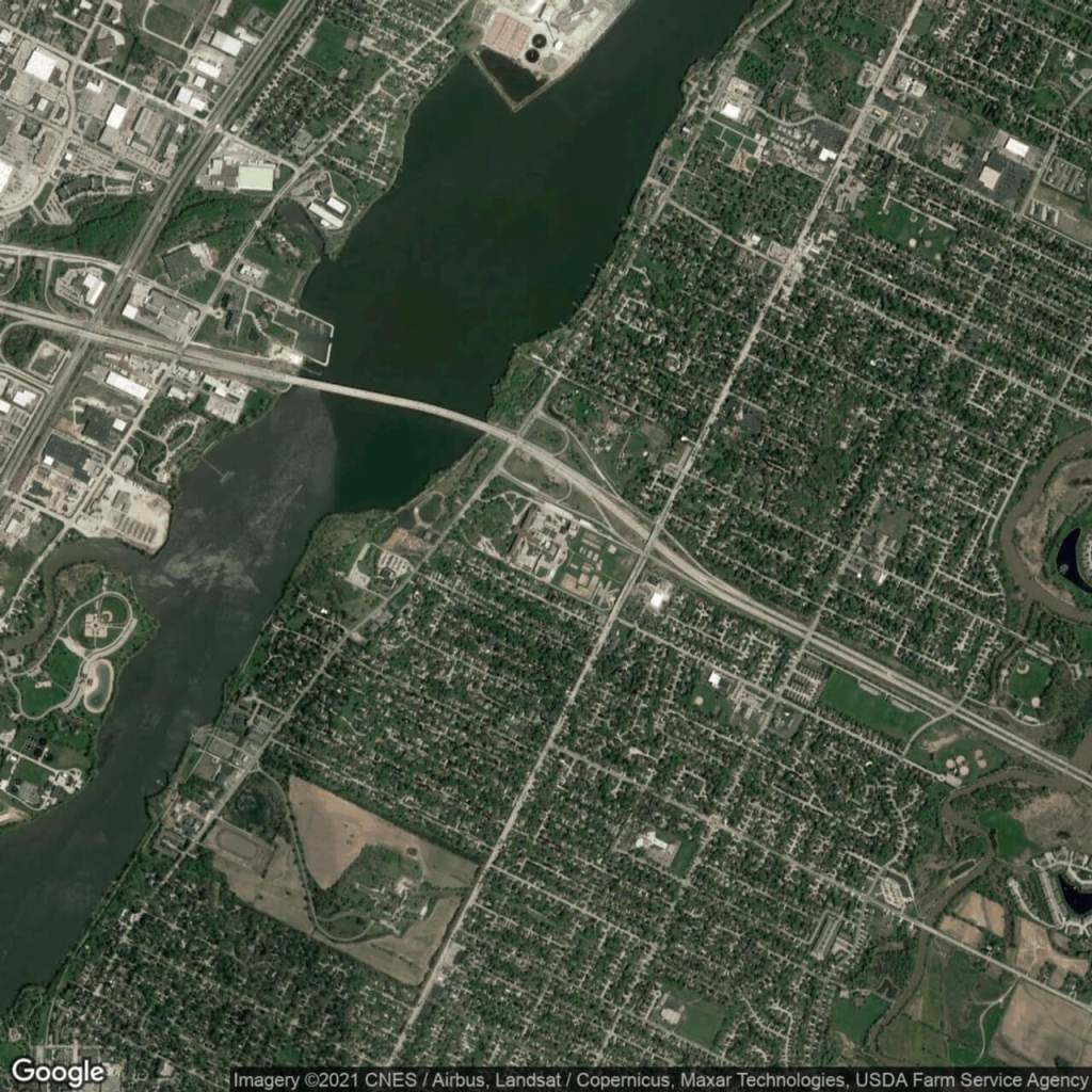
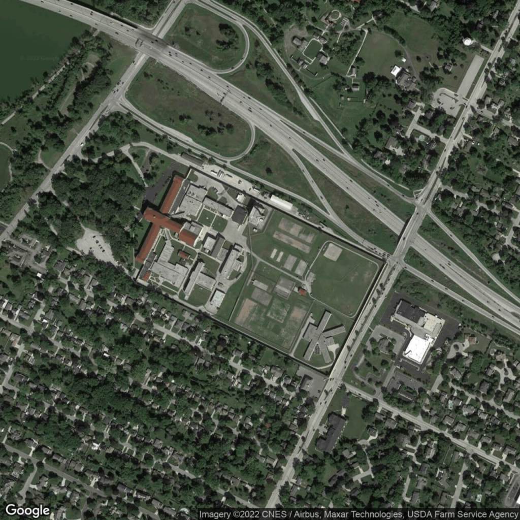
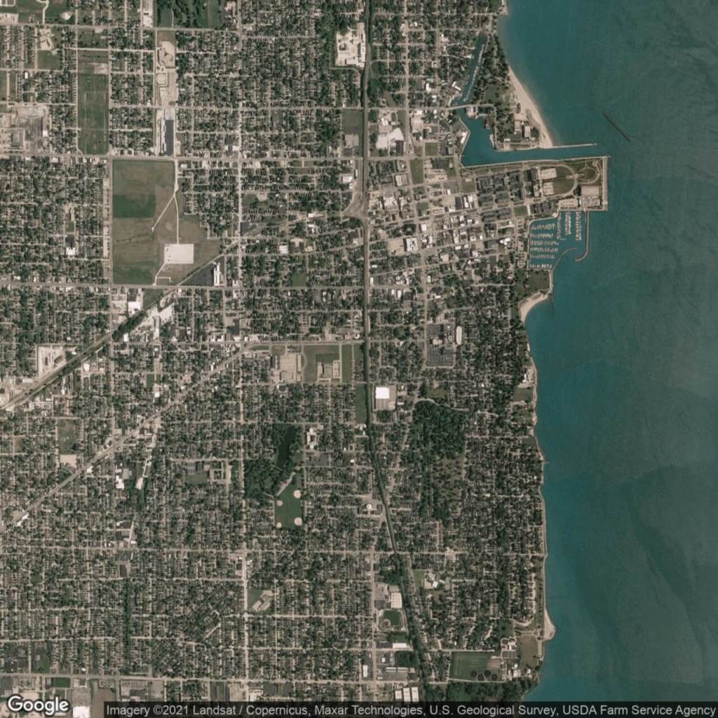
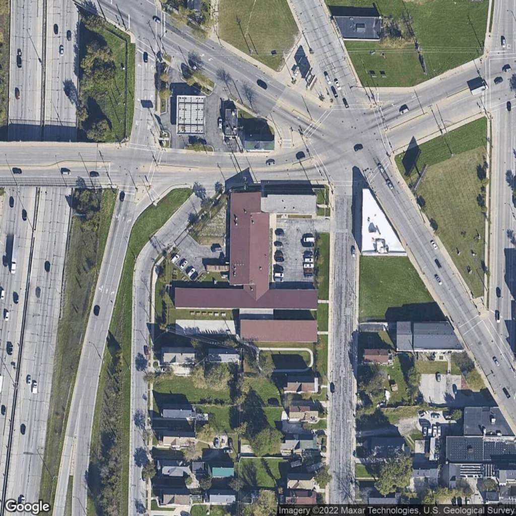
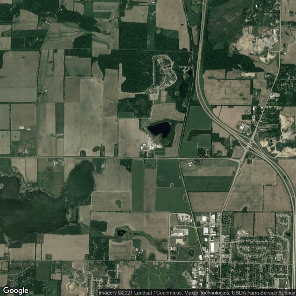
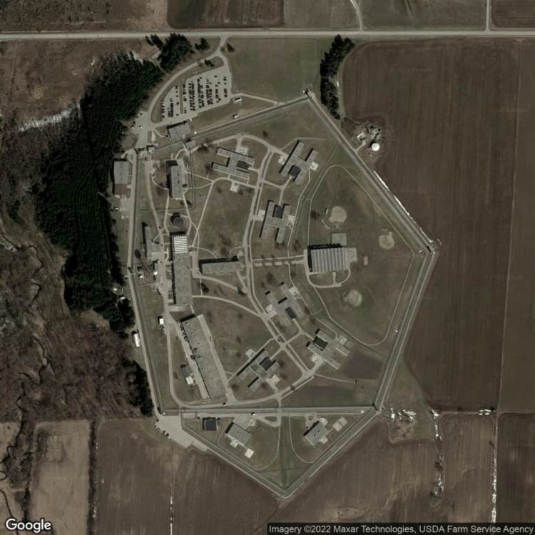
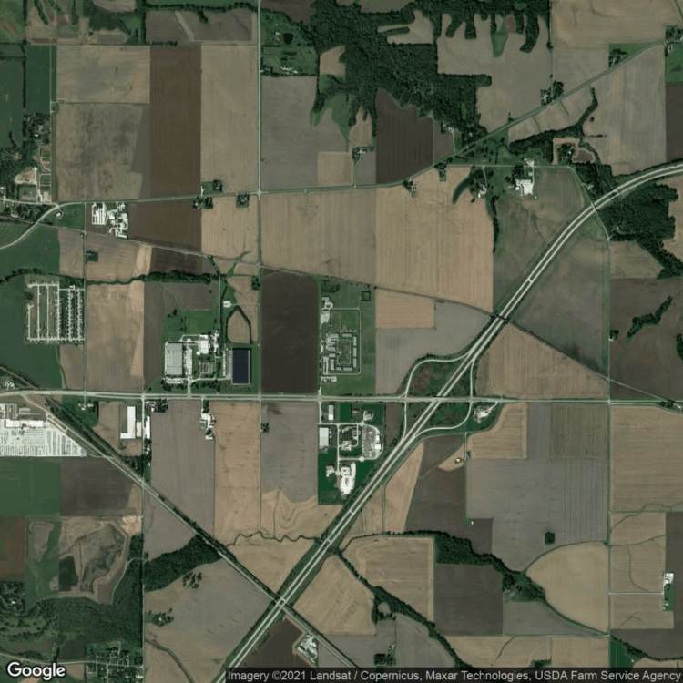
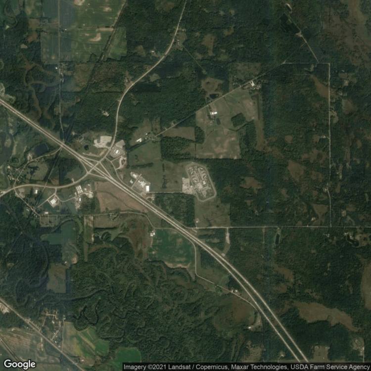
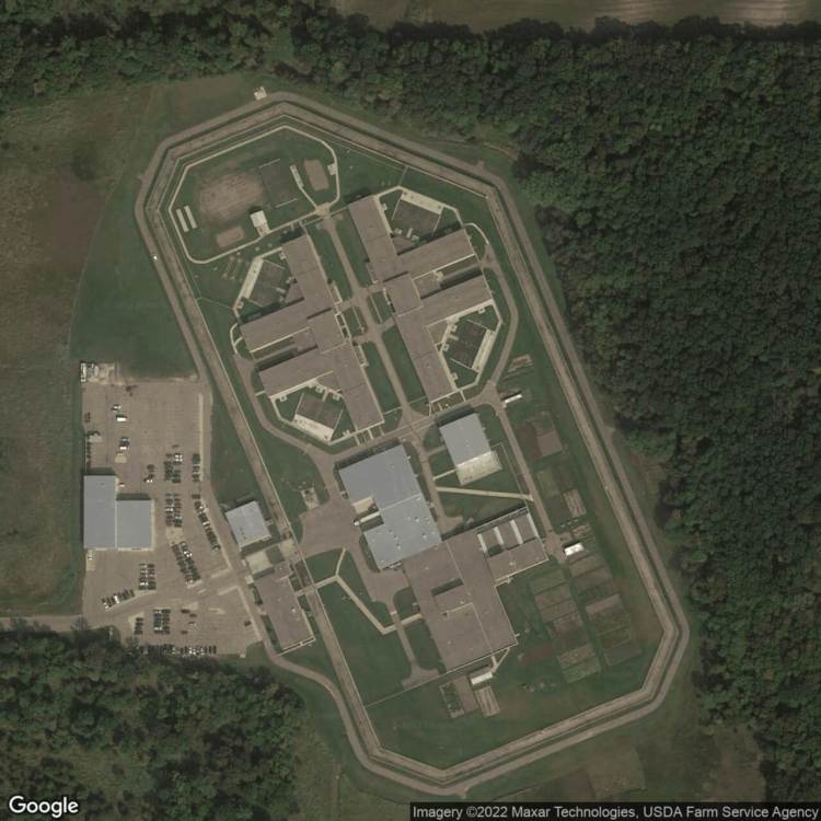
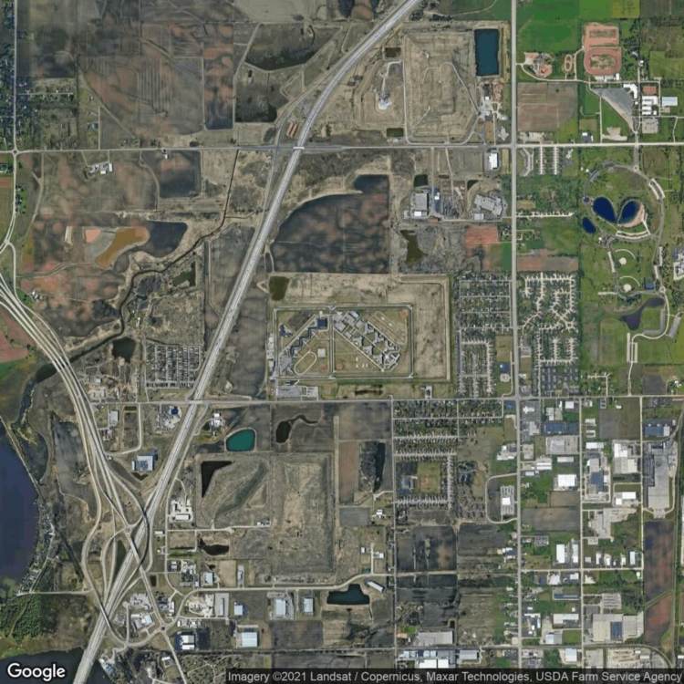
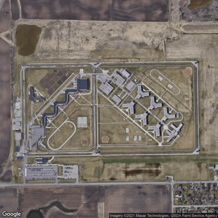
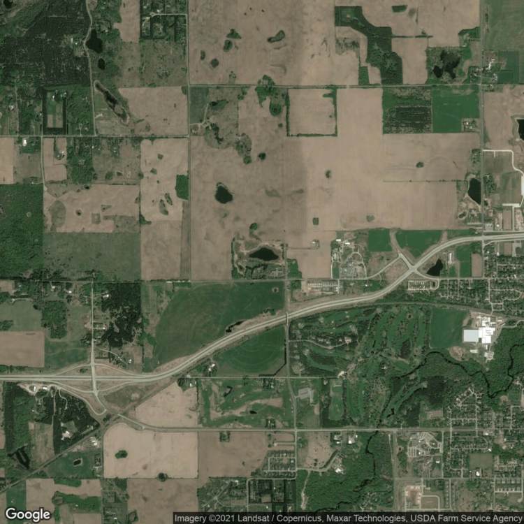
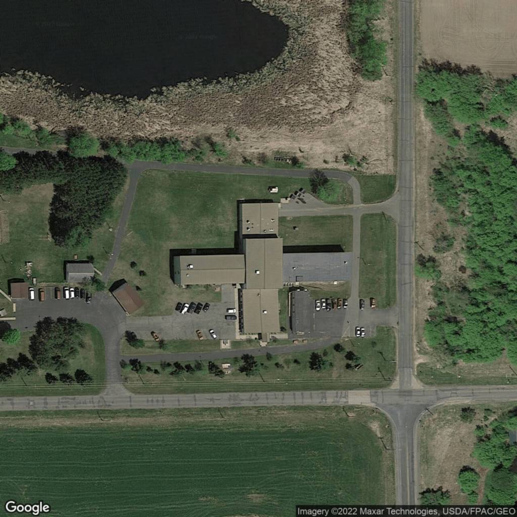
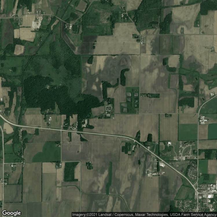
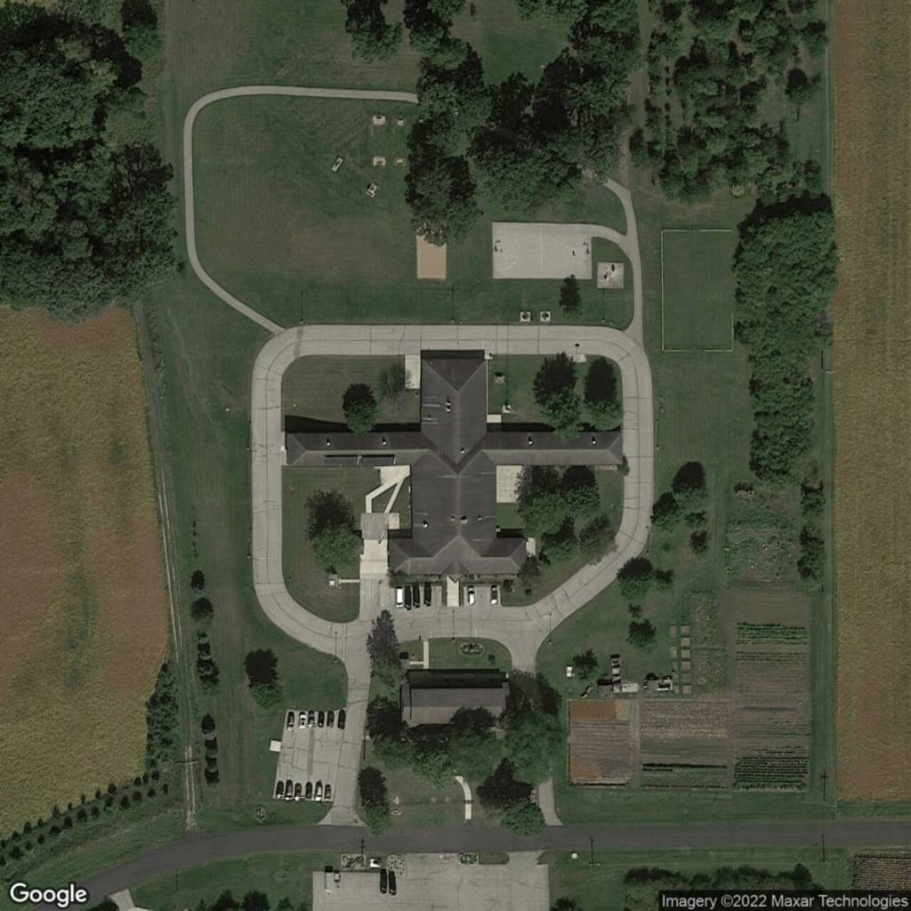
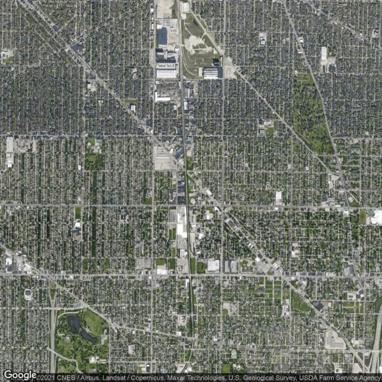
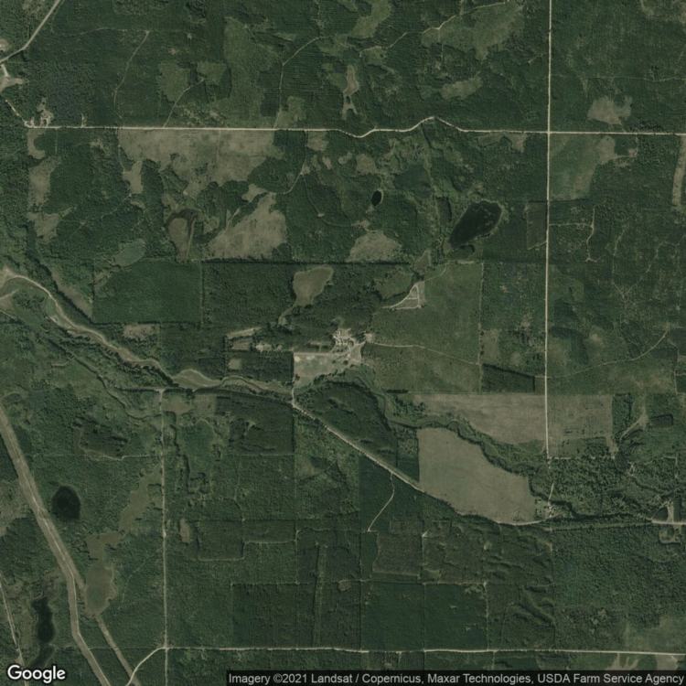
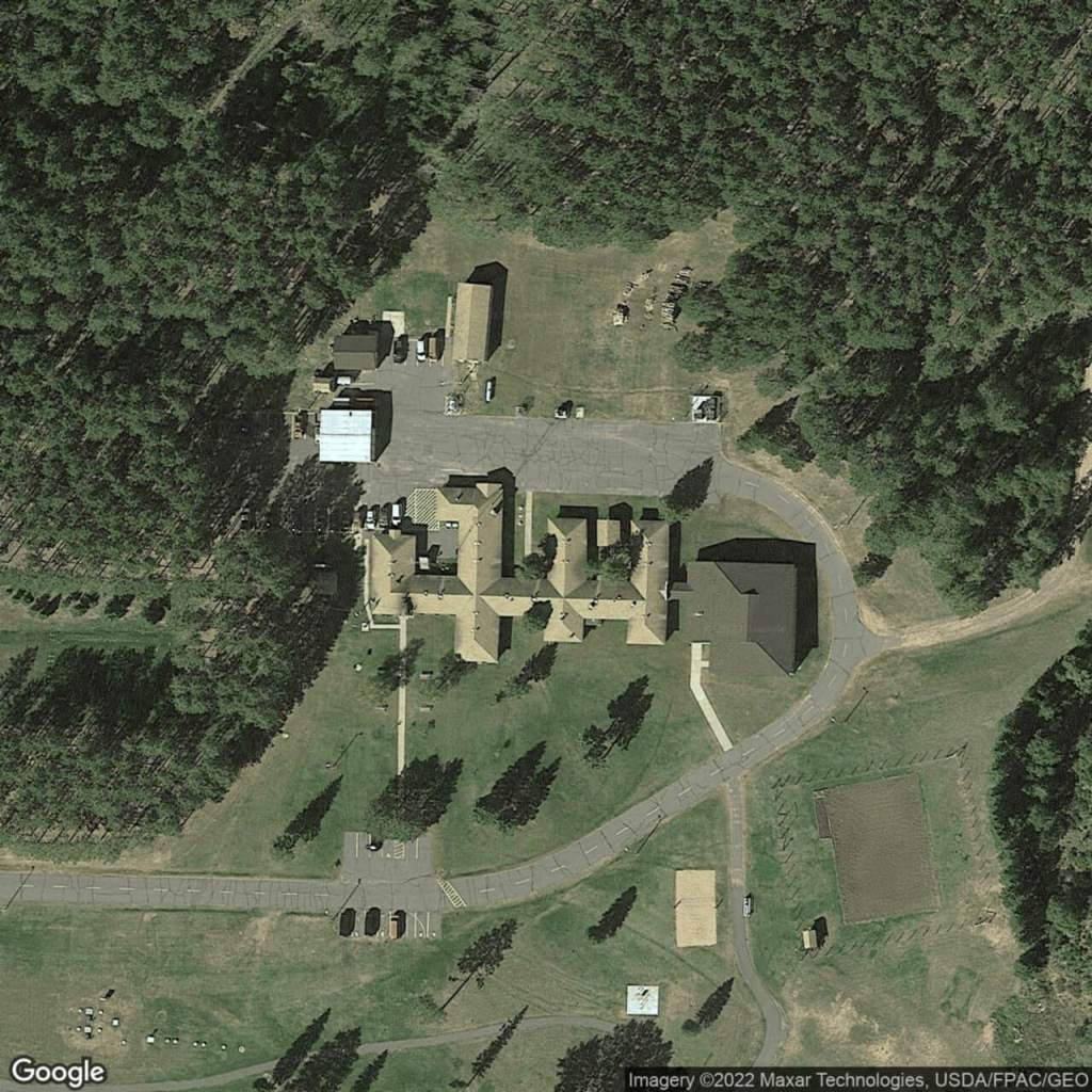
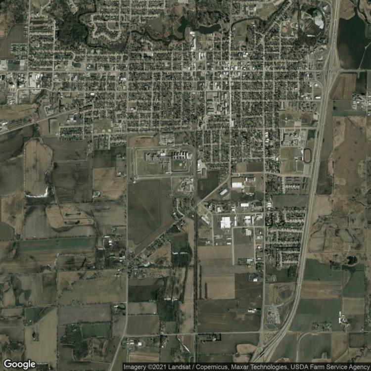
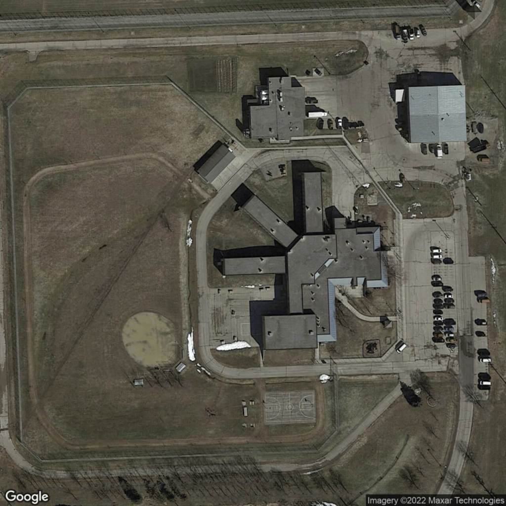
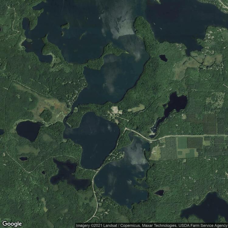
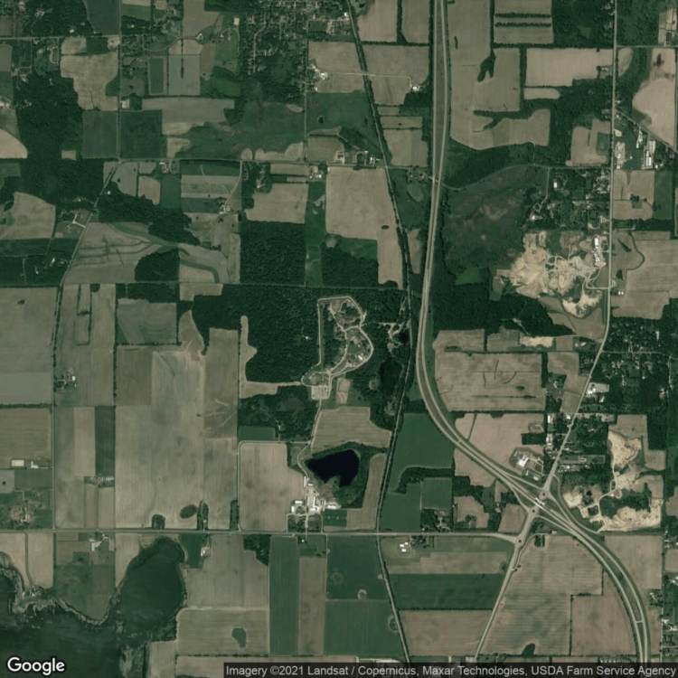
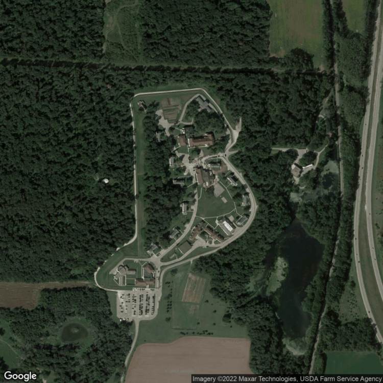
This series of satellite images takes its inspiration from the Prison Map project by Josh Begley. It is similarly interested in showing how carceral forms of discipline are etched into the landscape. In the case of prison agriculture, there are not only an array of places, but also prison architectures and agricultural practices. And these carceral conditions are embedded in a set of social and environmental spaces. Like agriculture, prisons are commonly located in remote locales hidden from most of the public. Concealed in these landscapes and cages are stories of exploitation, discipline, and at times, hope and resistance. Bringing together this set of images highlights the difficulty of identifying and accounting for the social death of incarceration and the supposed freedom that lies right outside prison walls.
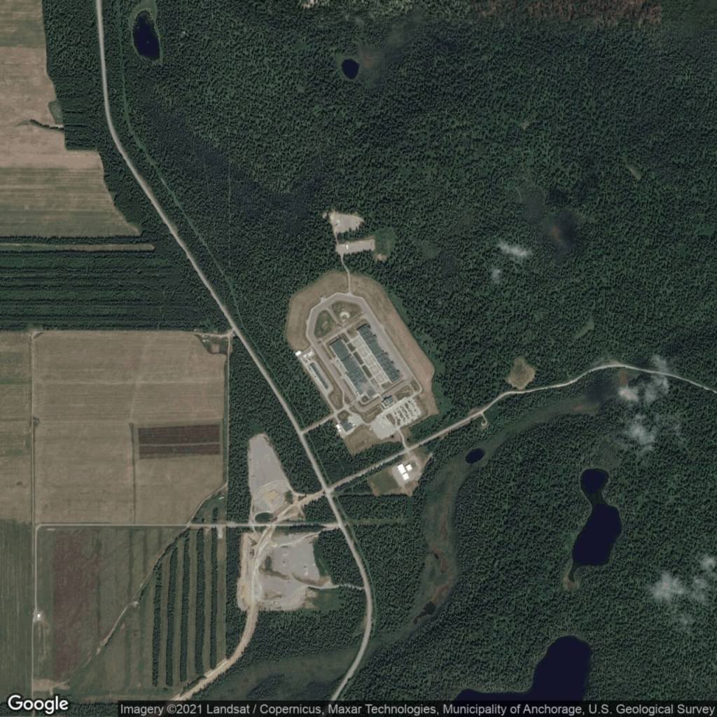
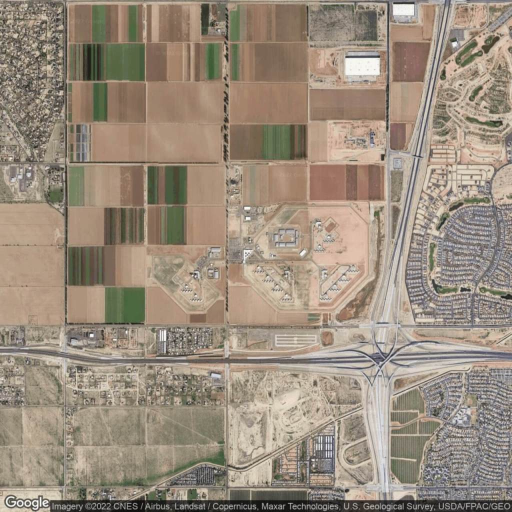
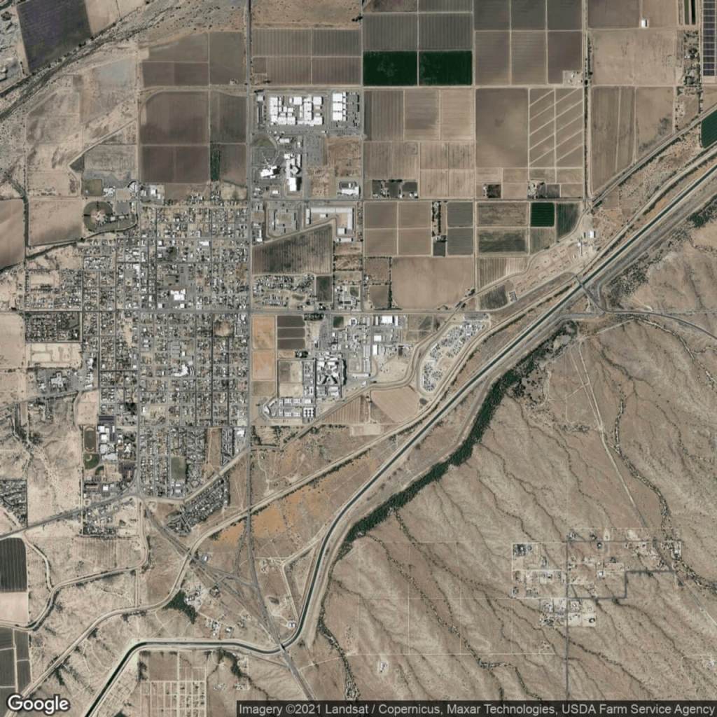
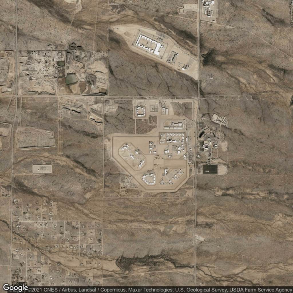
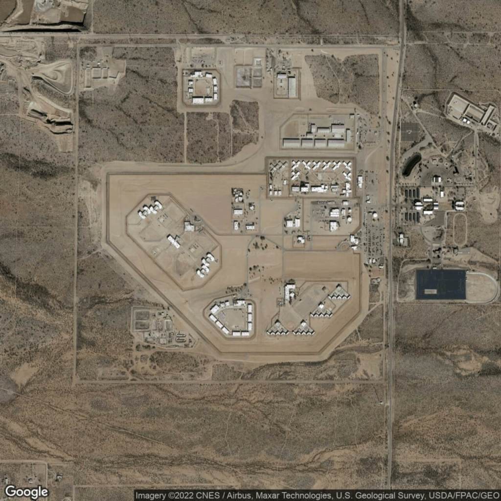
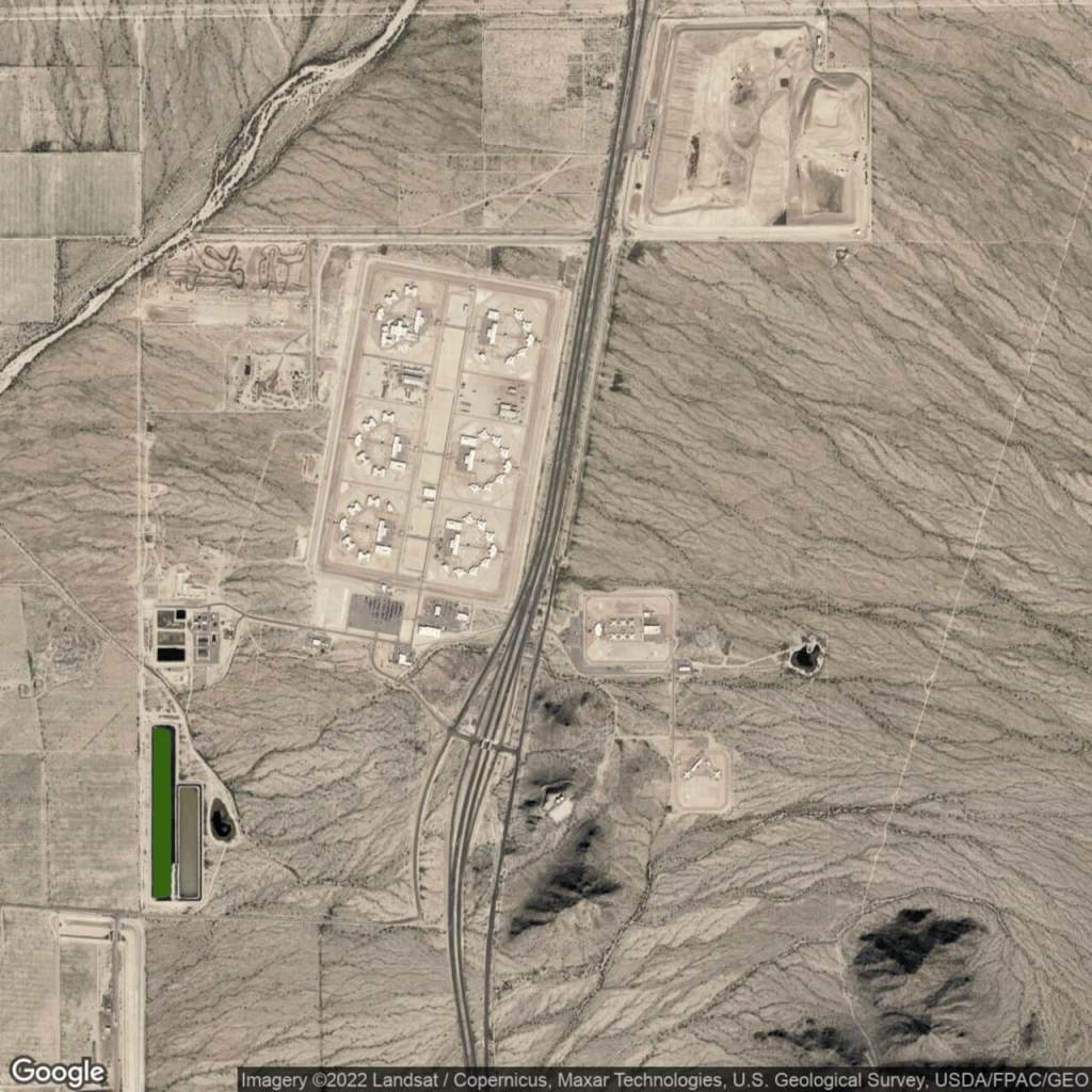
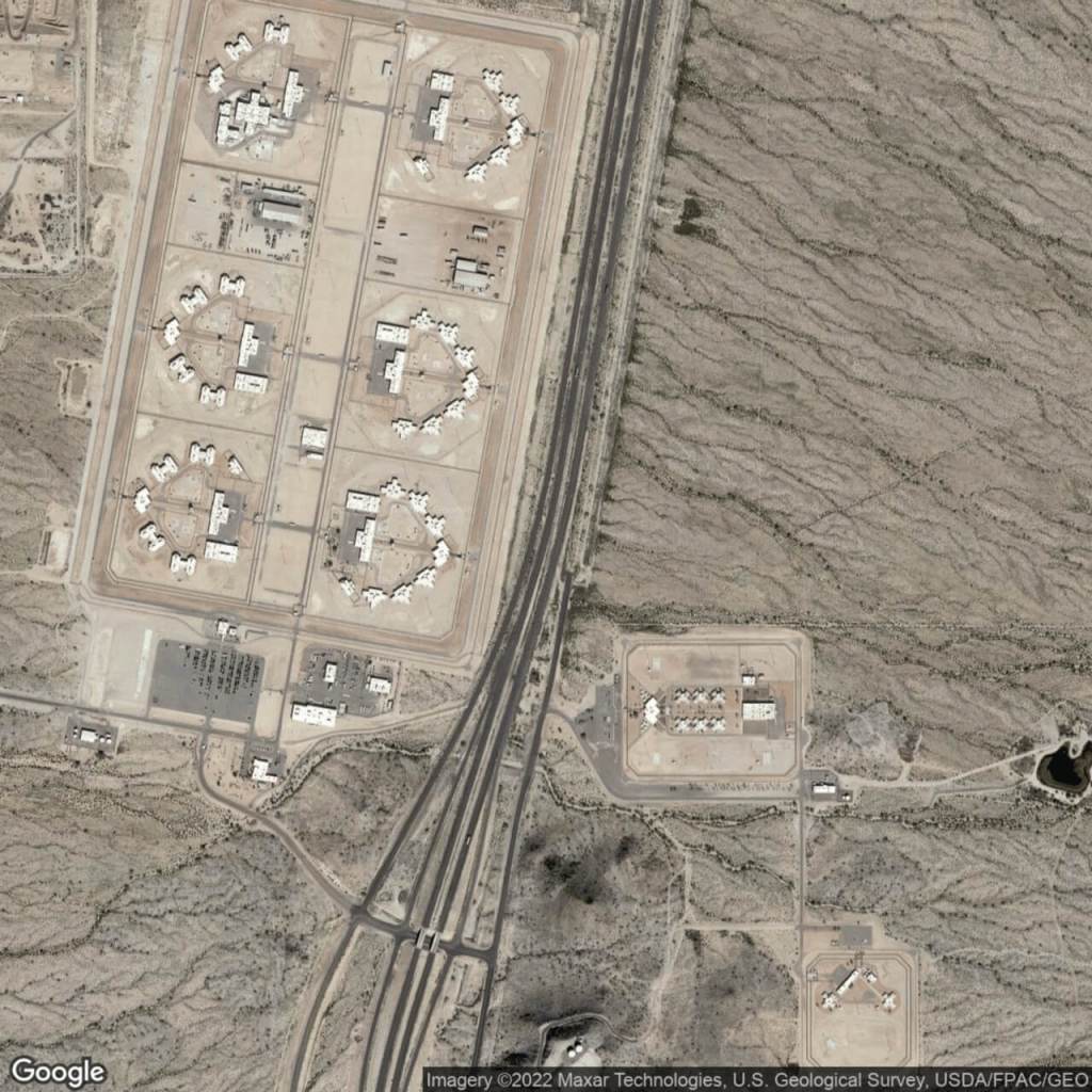
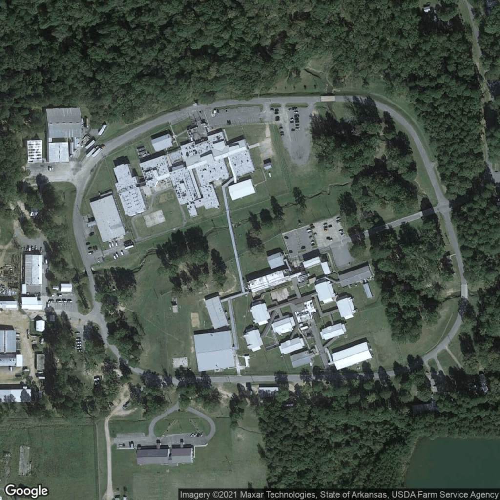
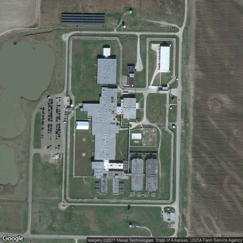
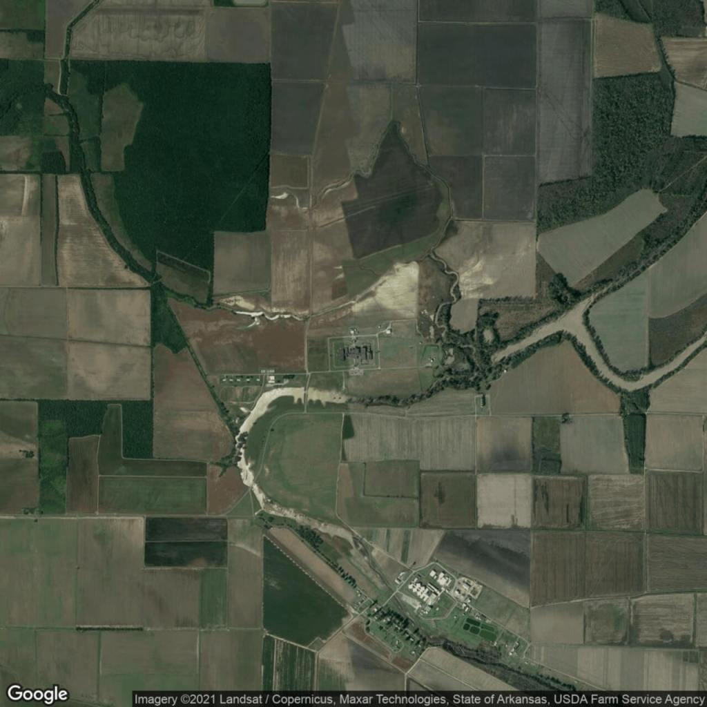
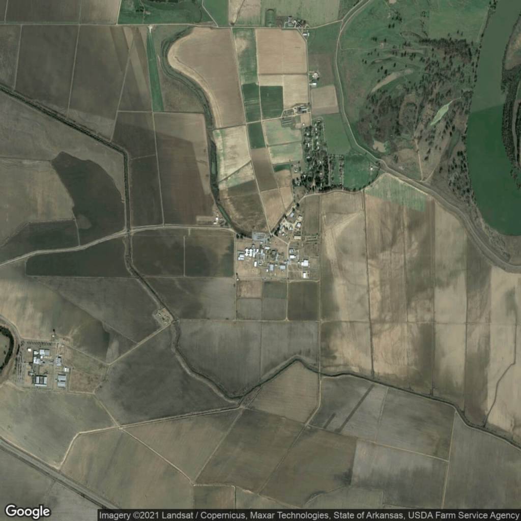
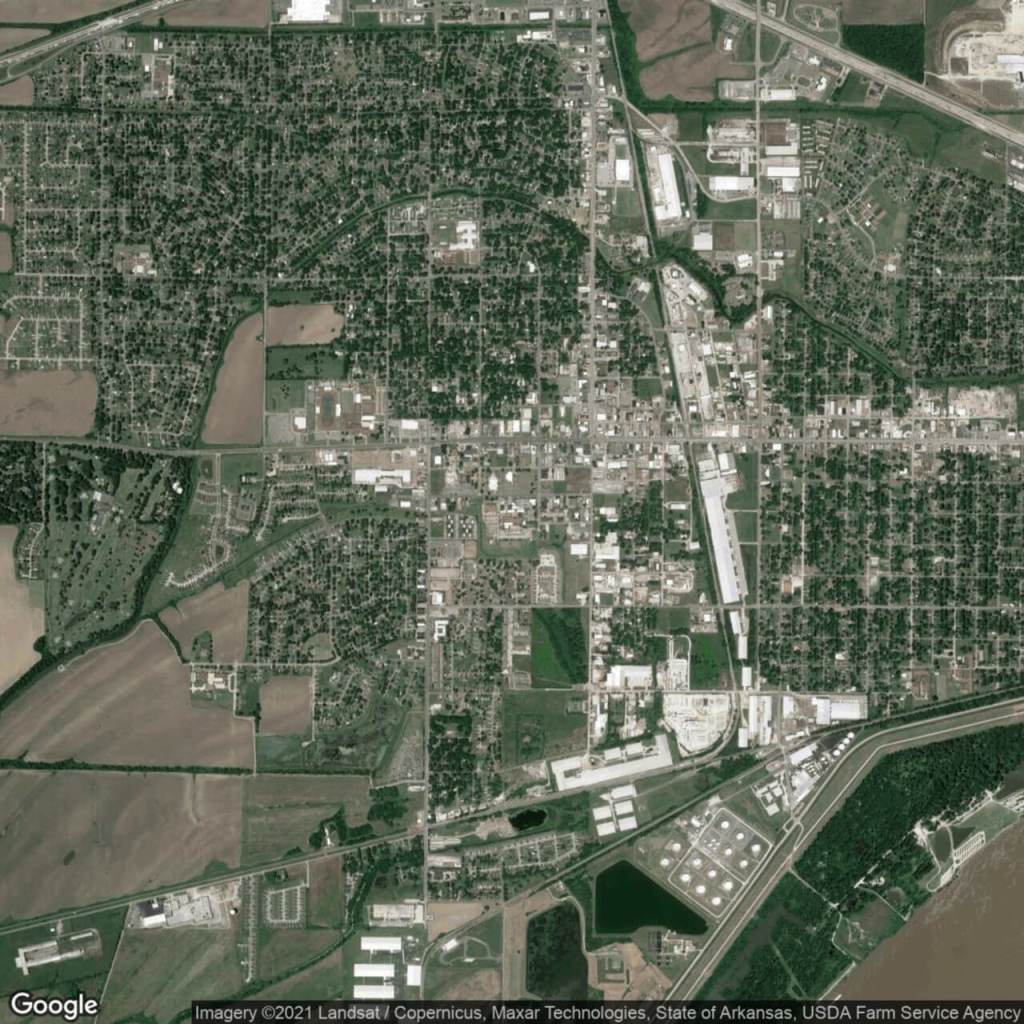
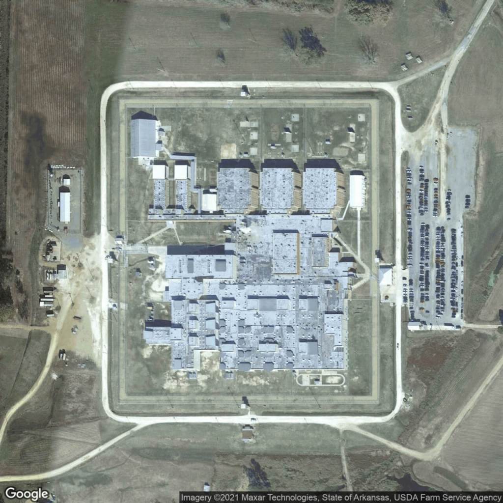
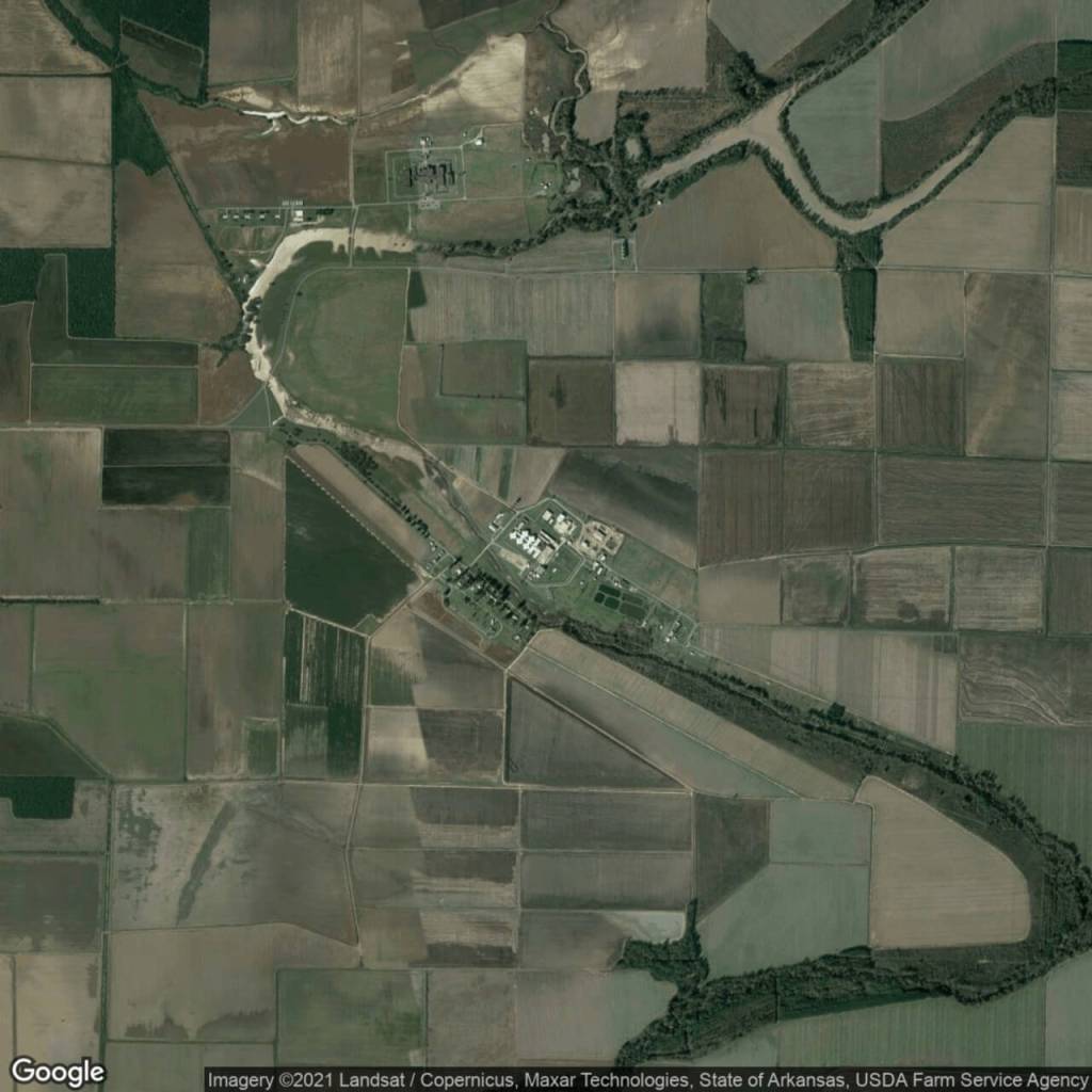
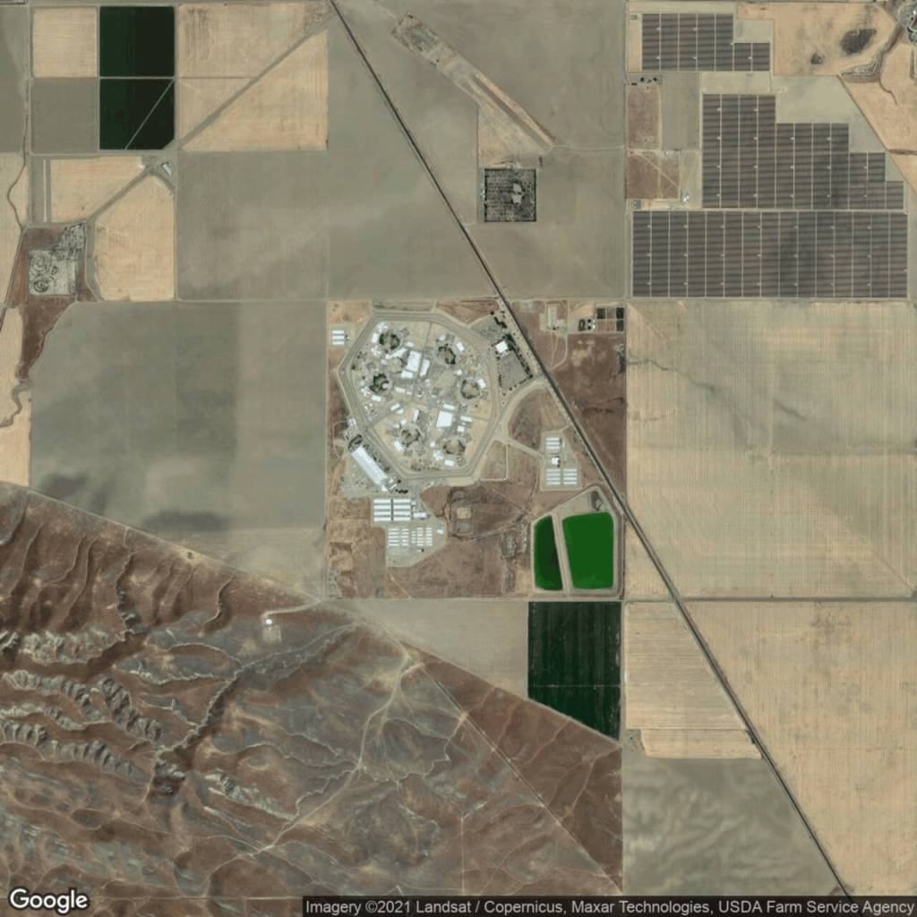
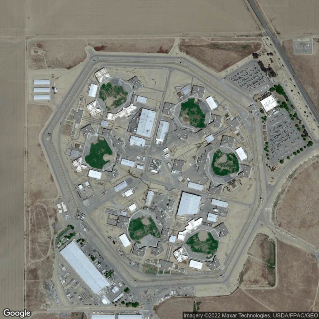
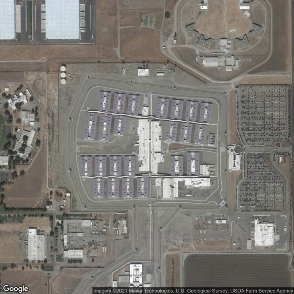
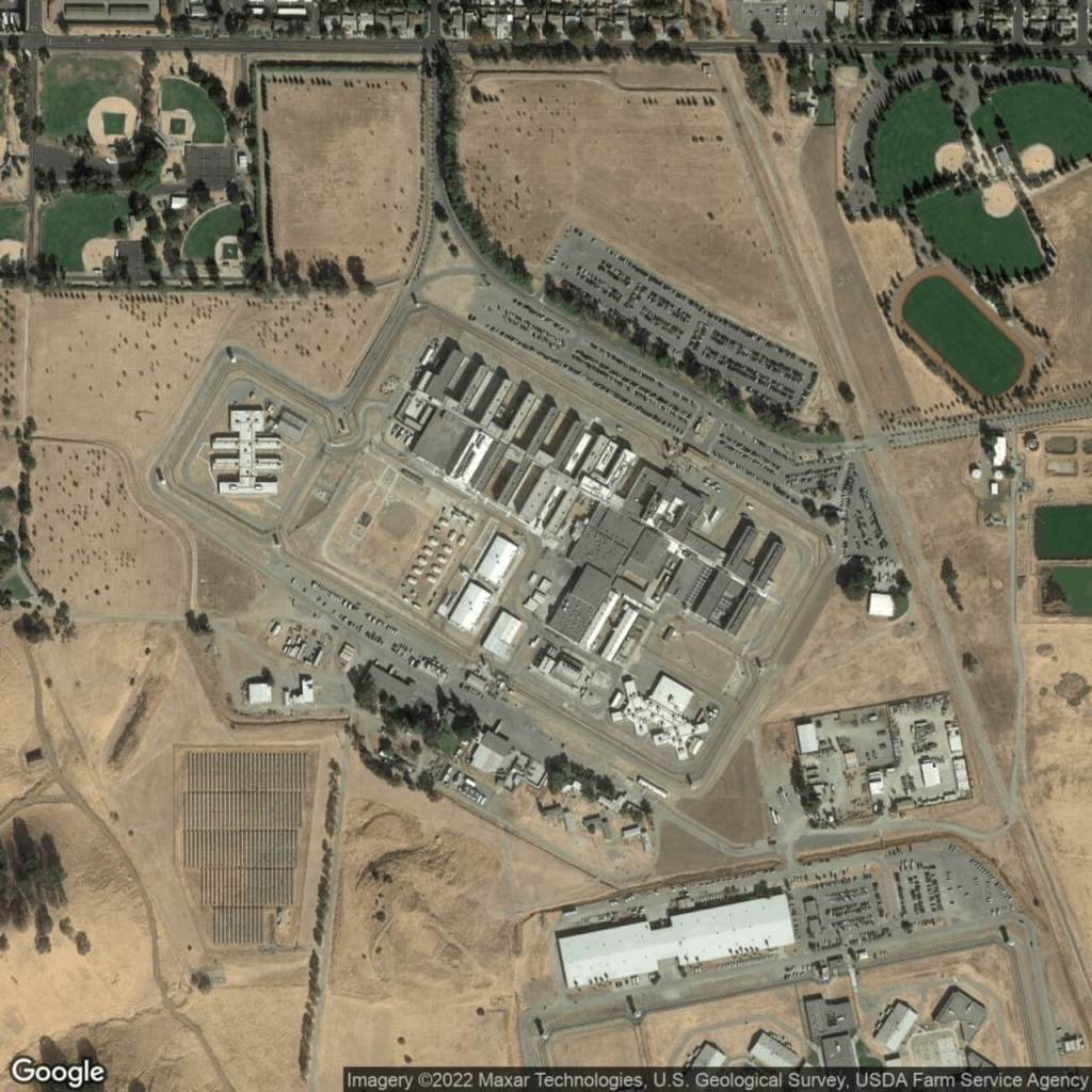
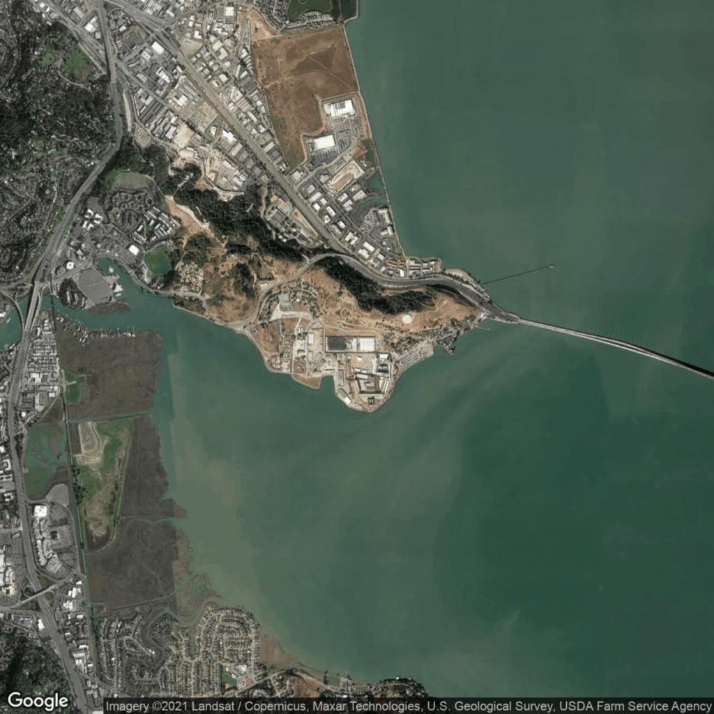
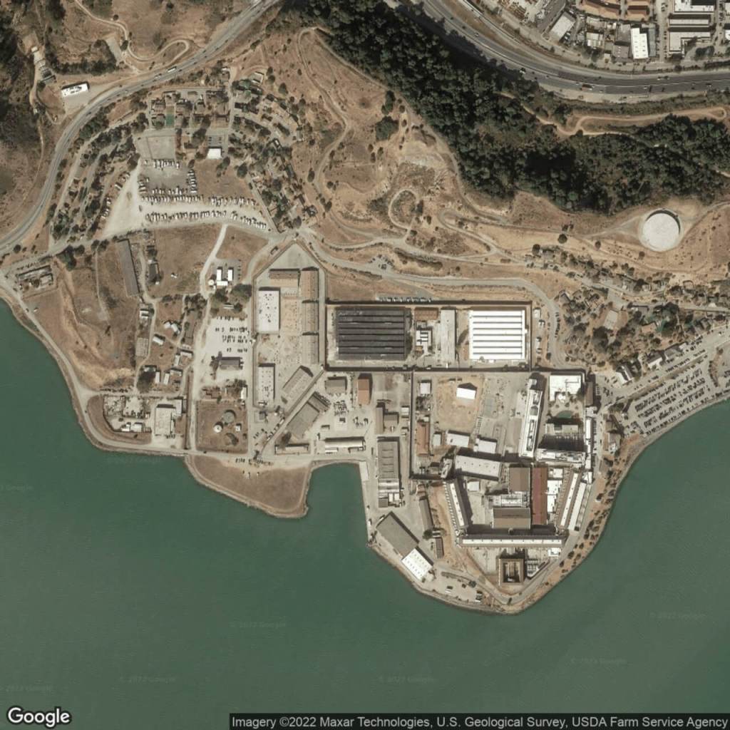
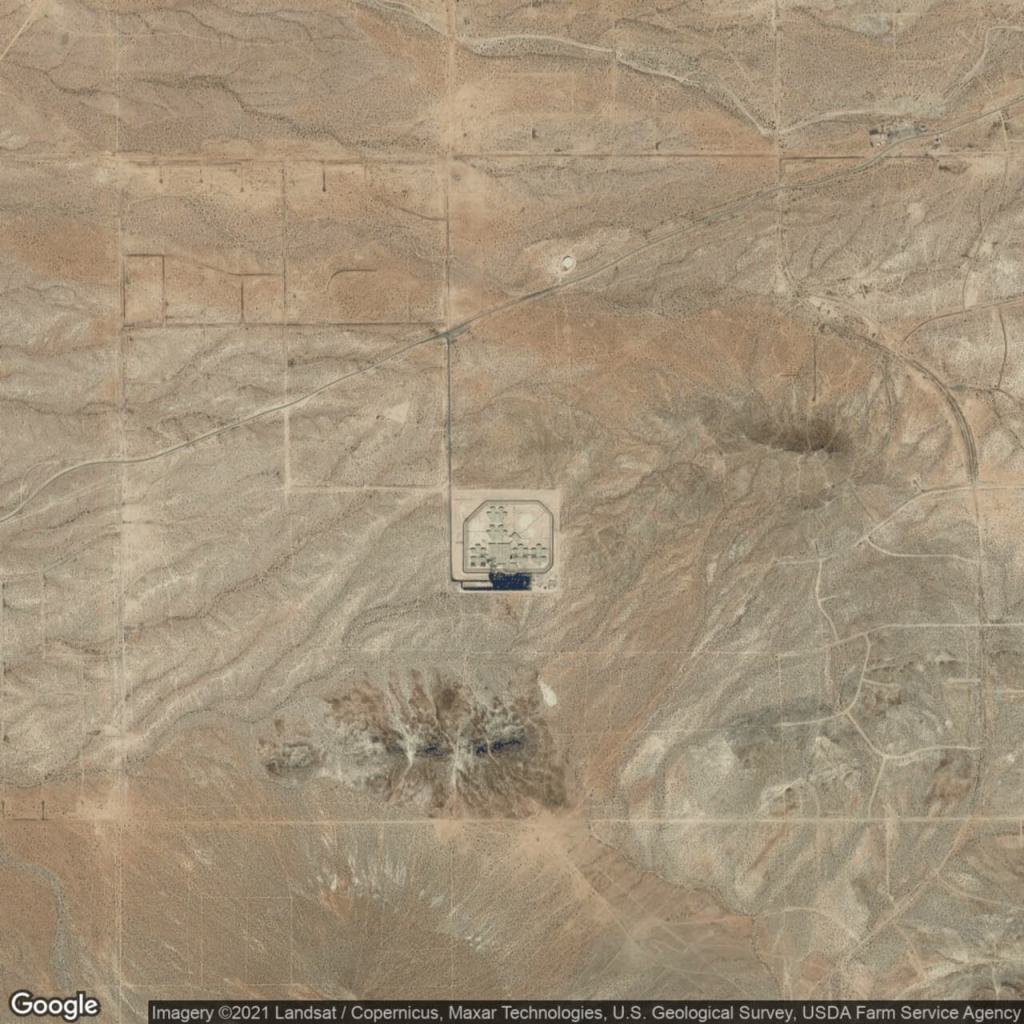
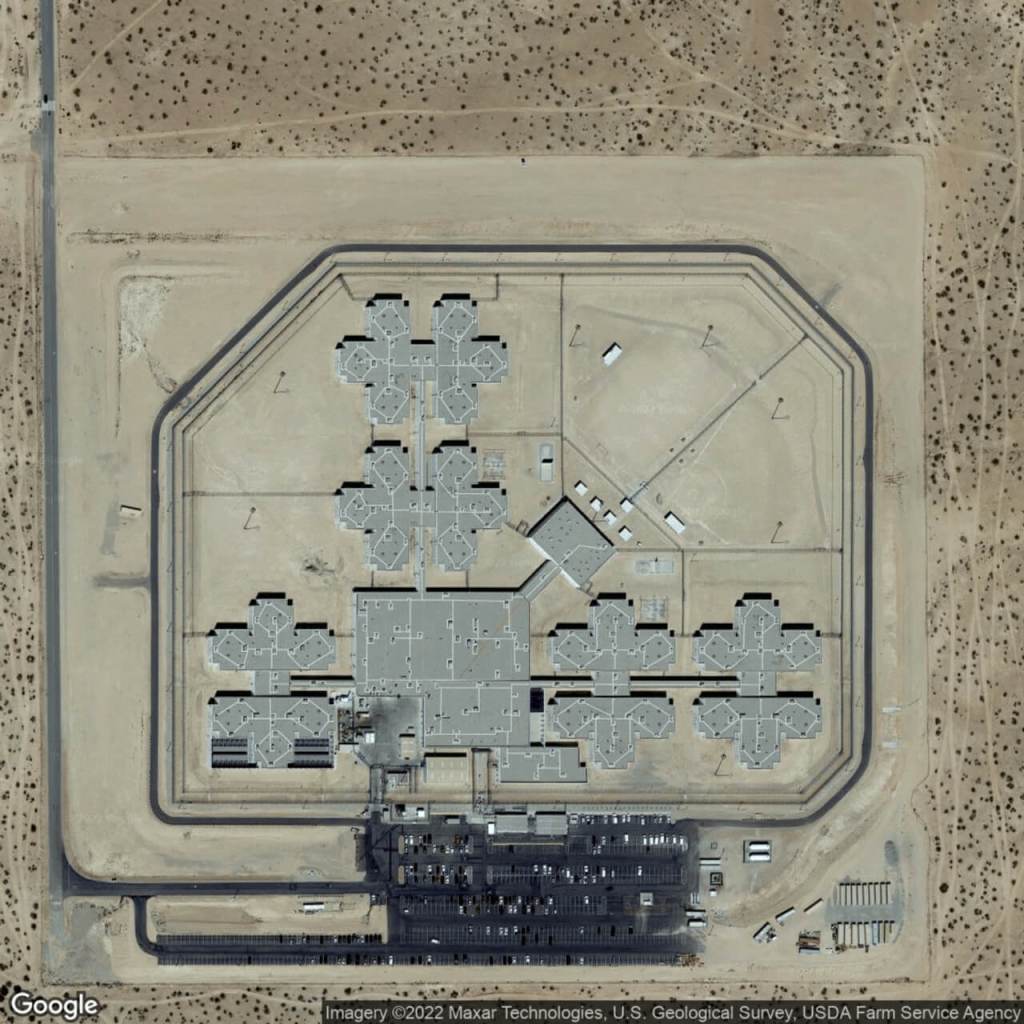
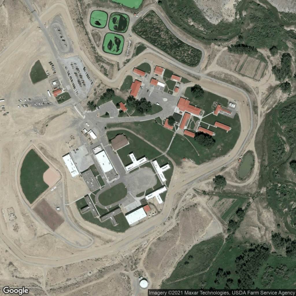
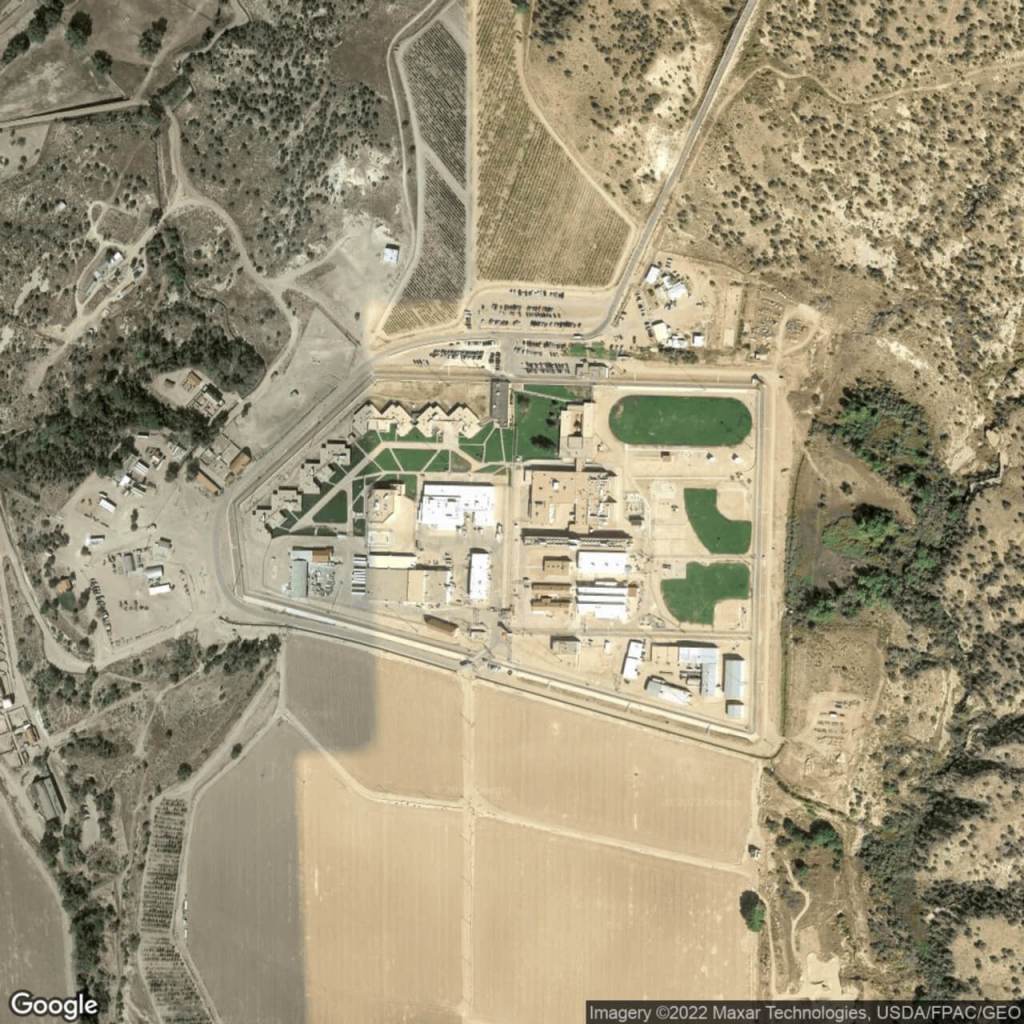
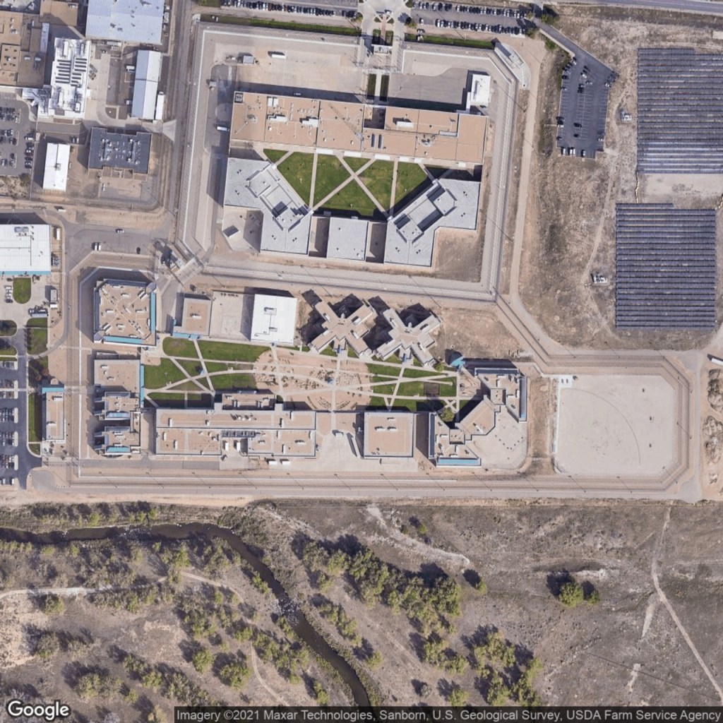
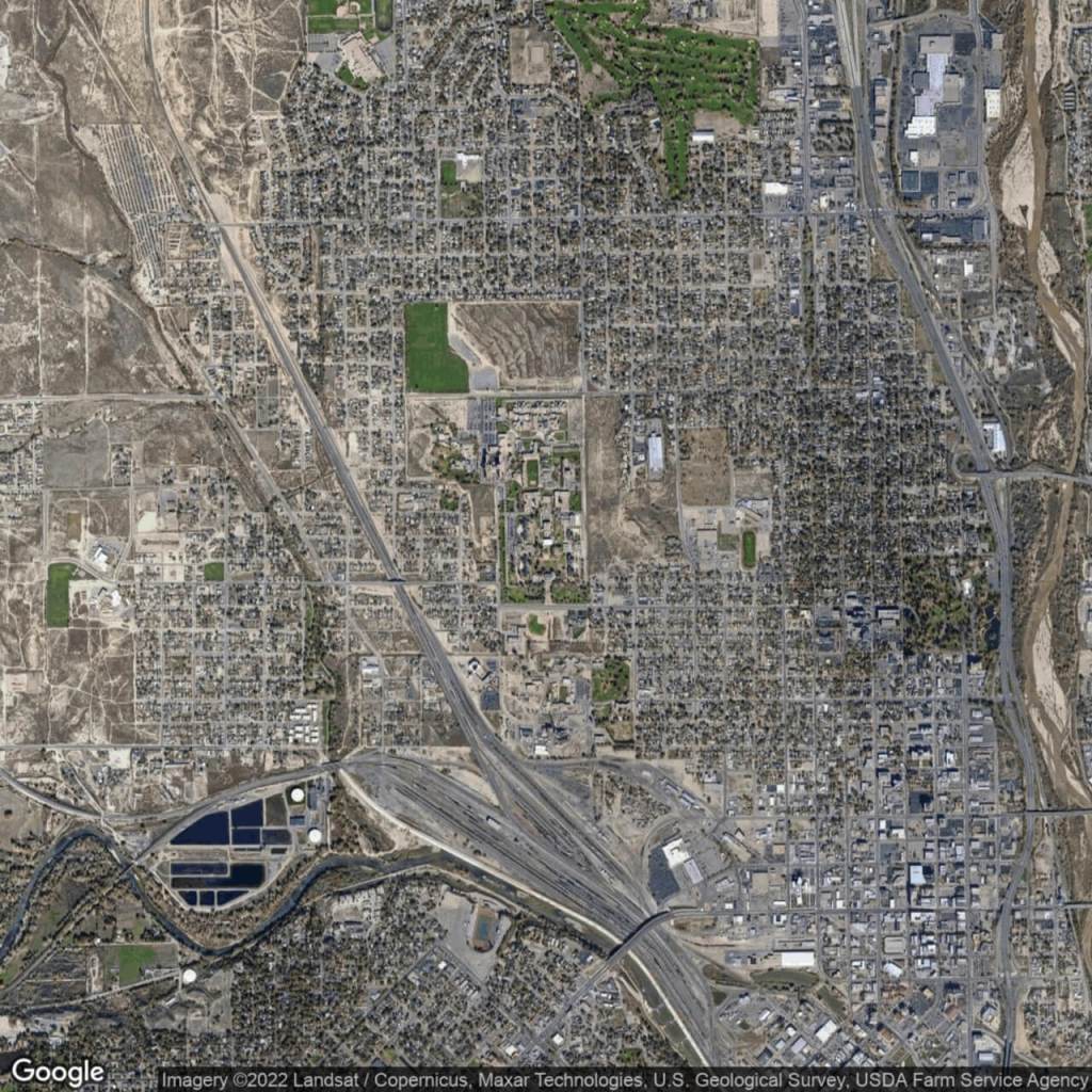
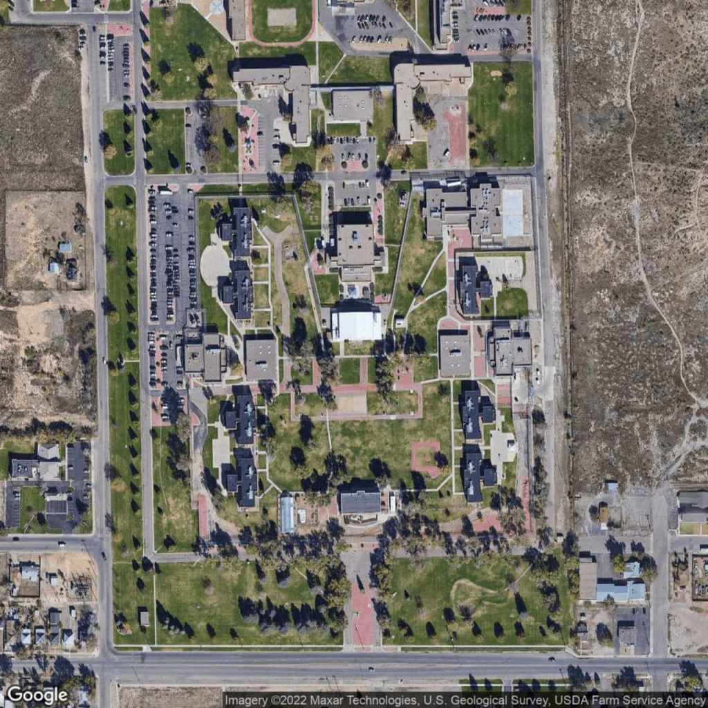
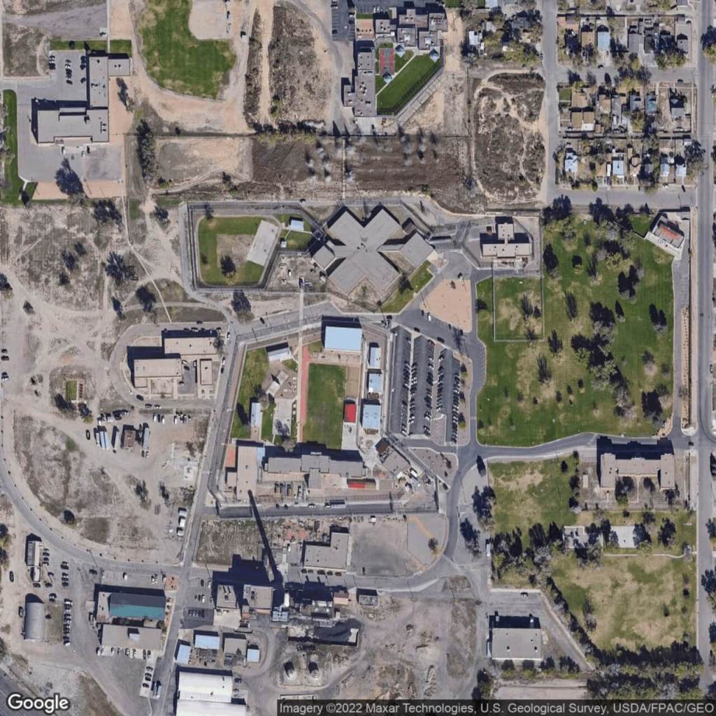
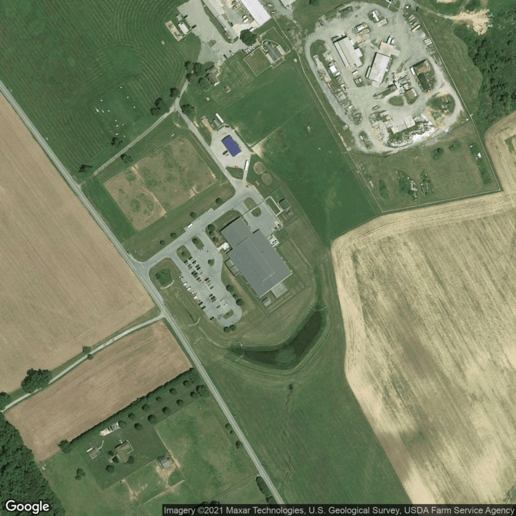
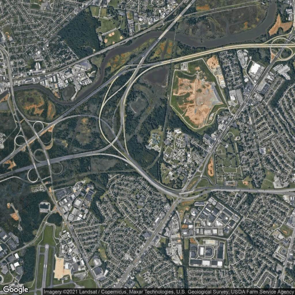
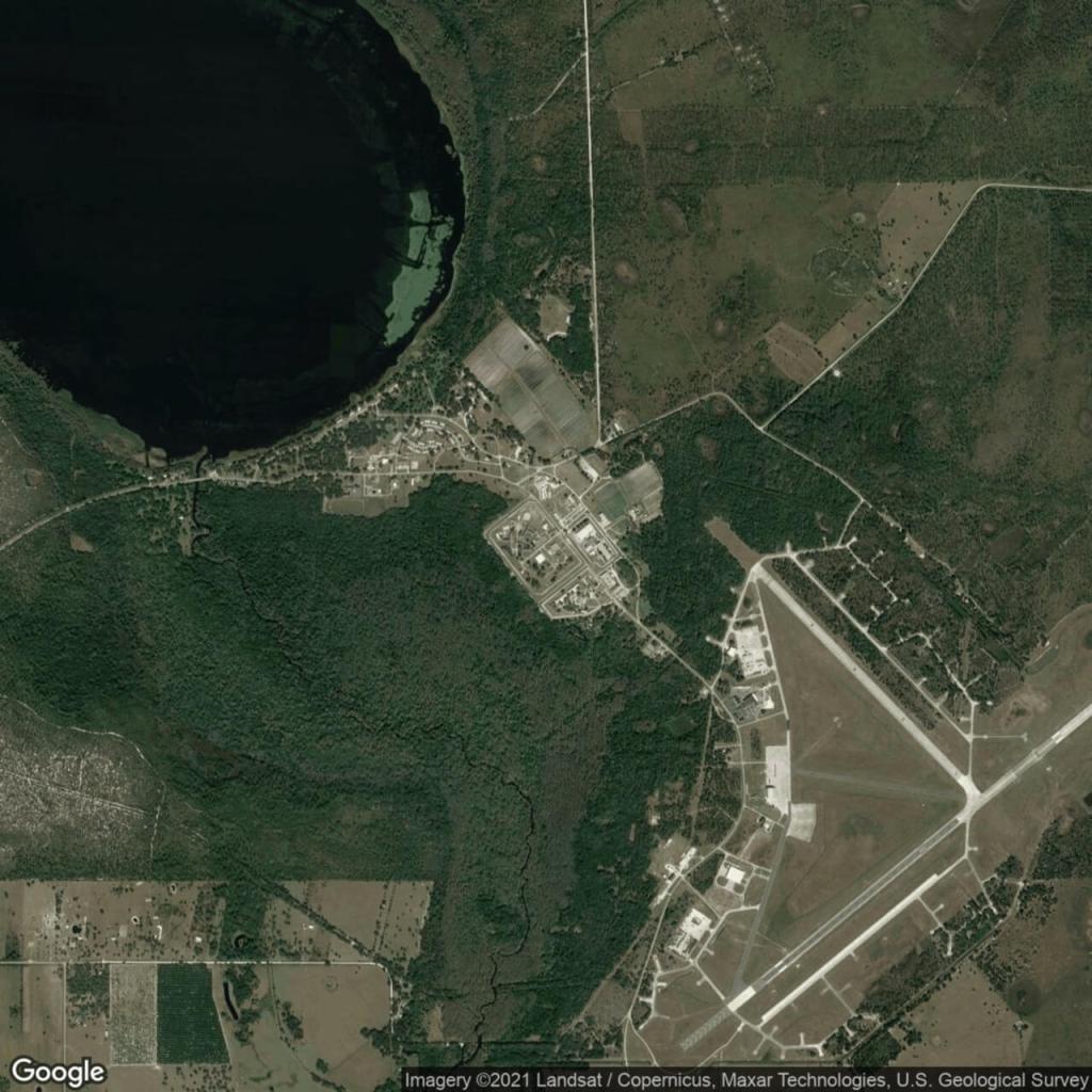
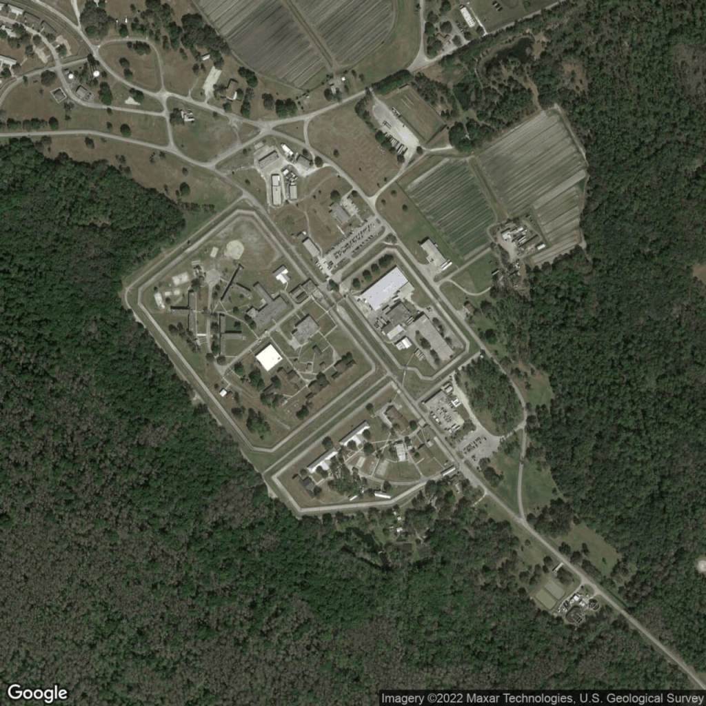
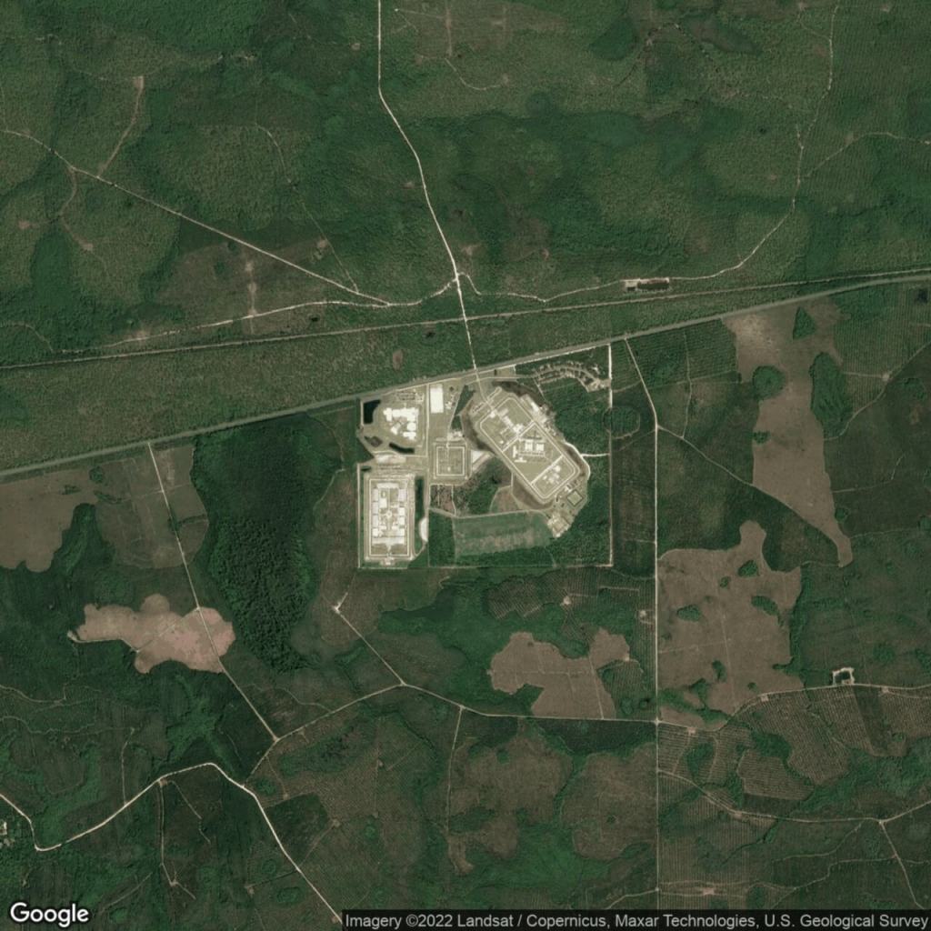
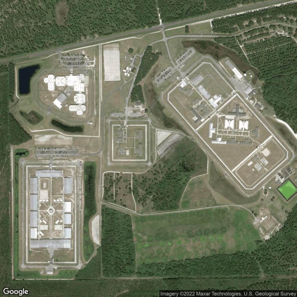
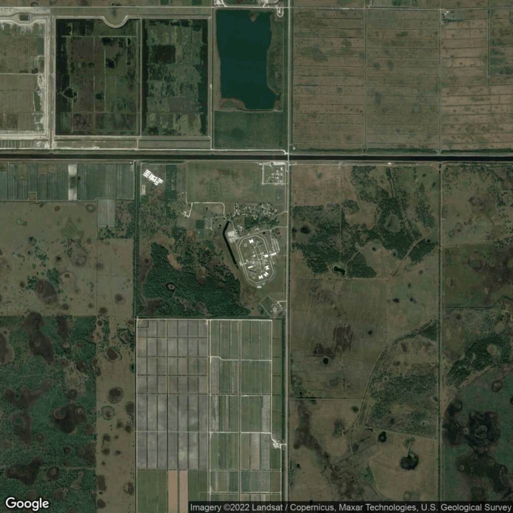
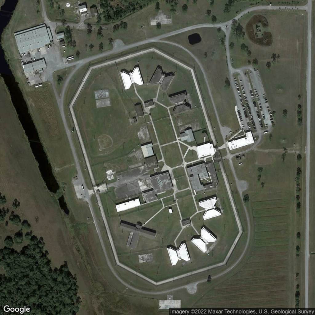
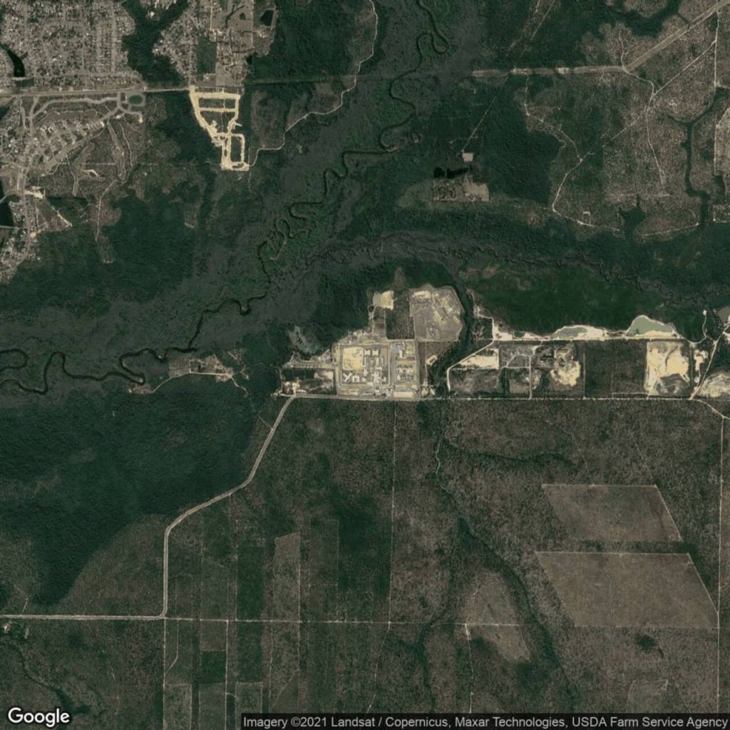
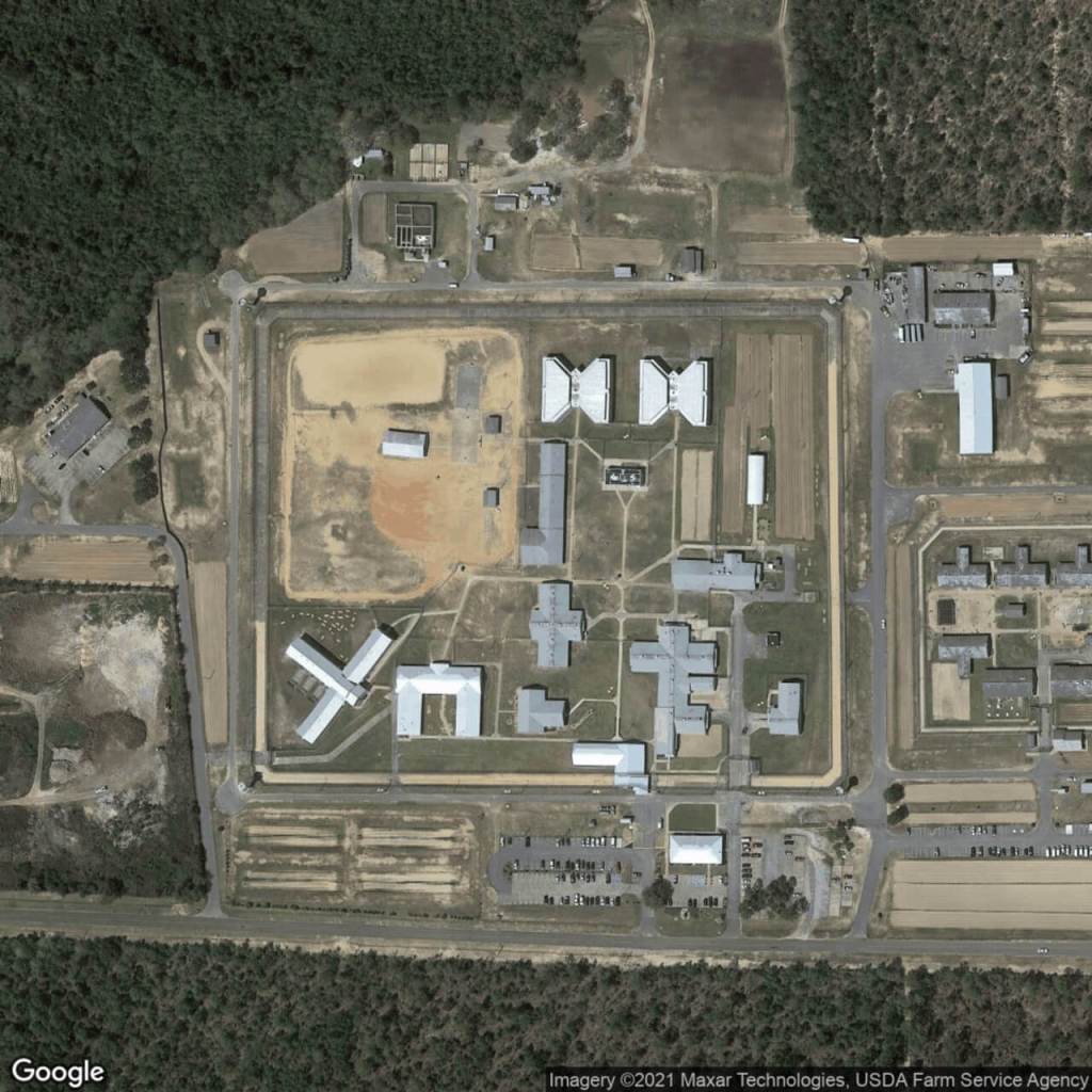
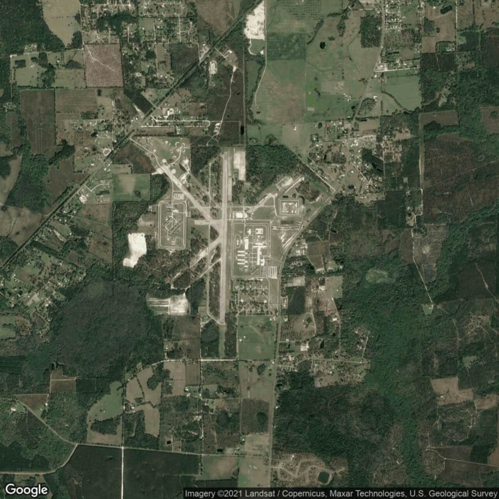
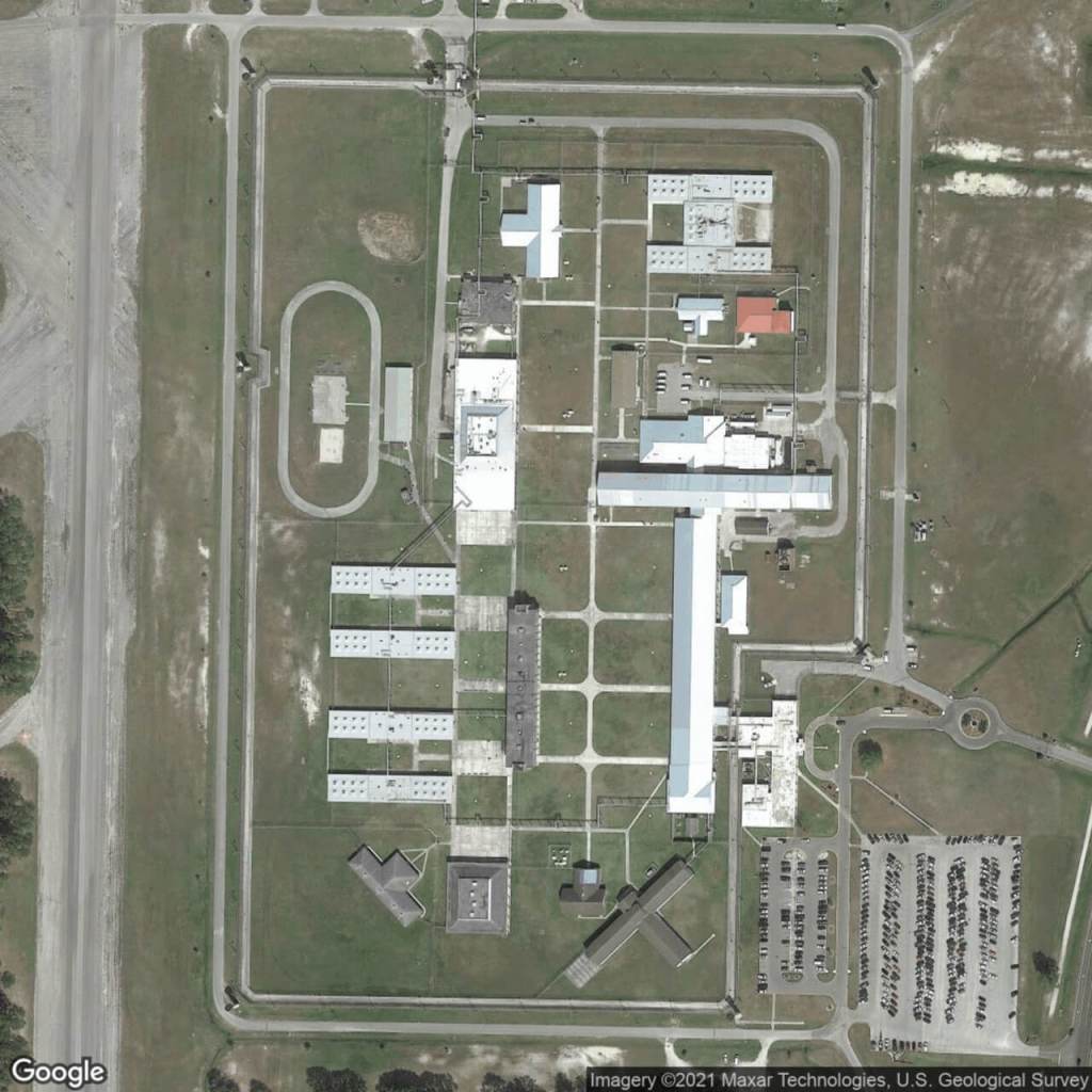
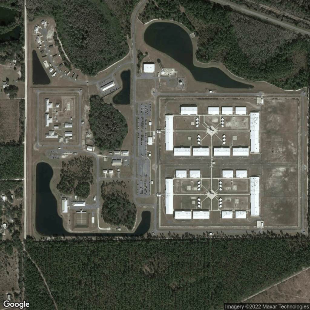
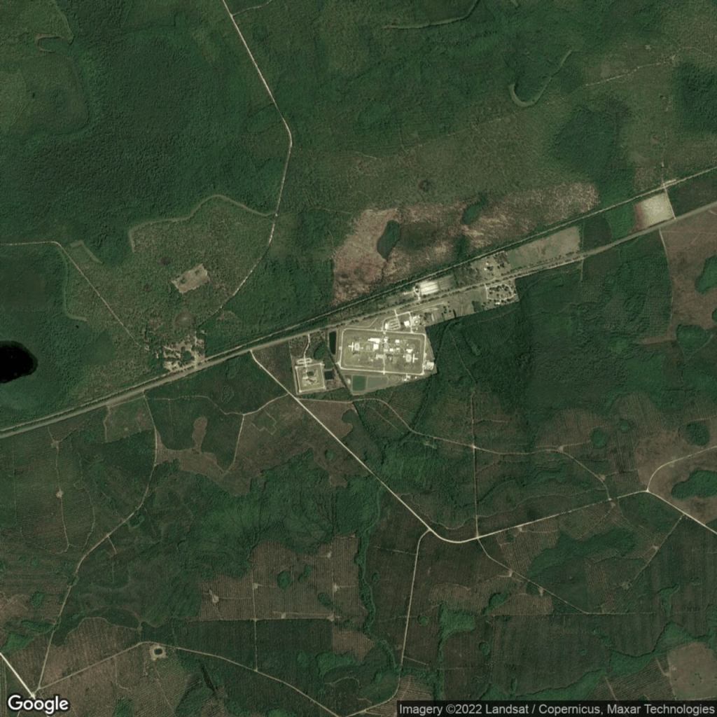
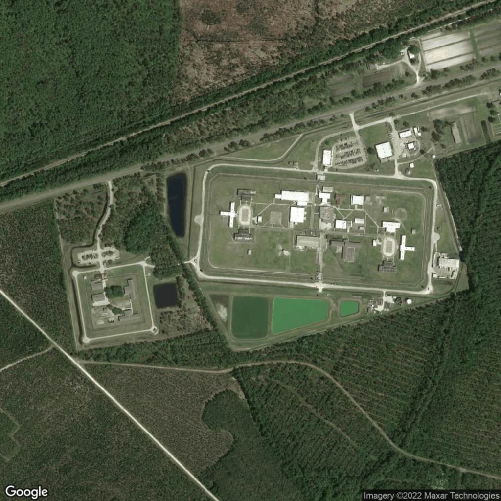
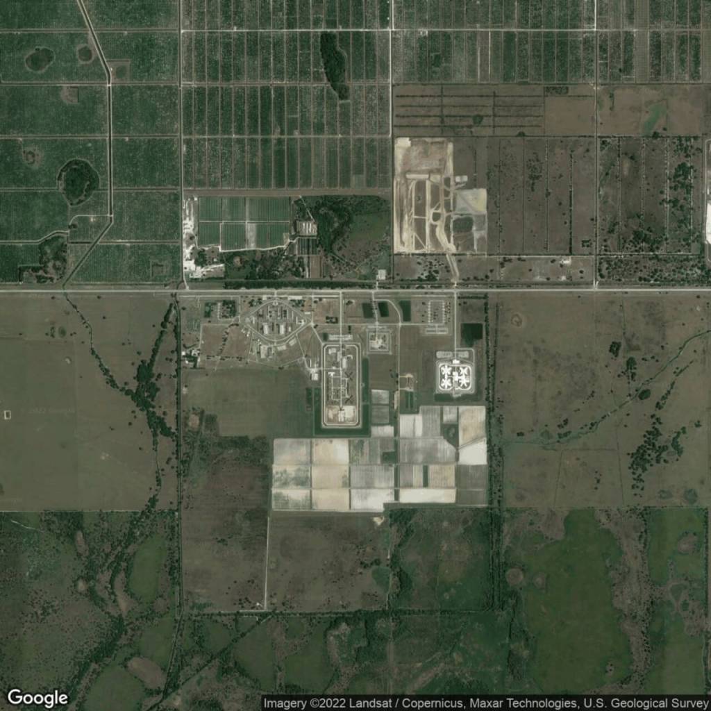
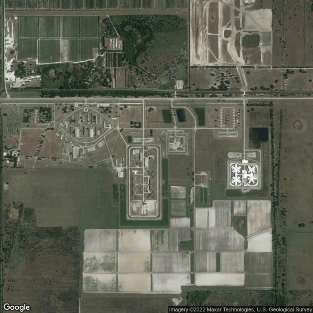
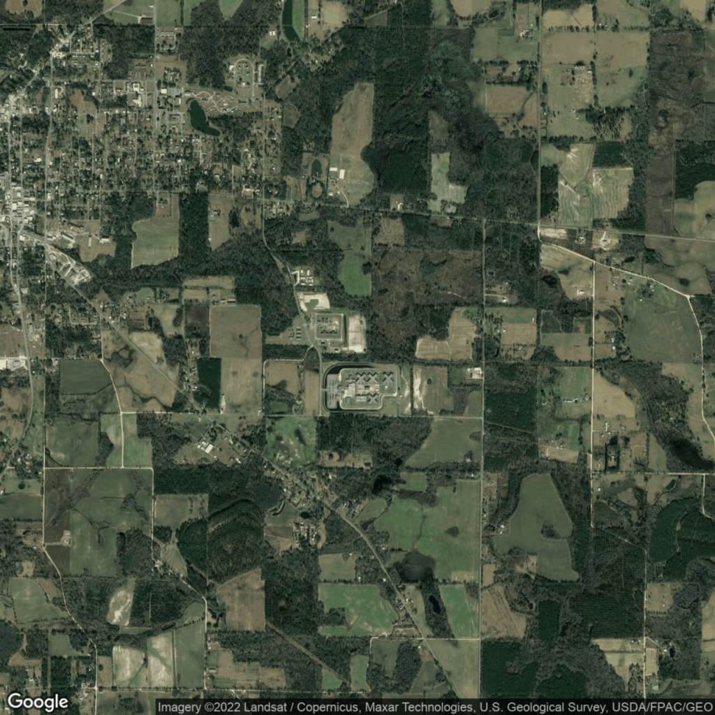
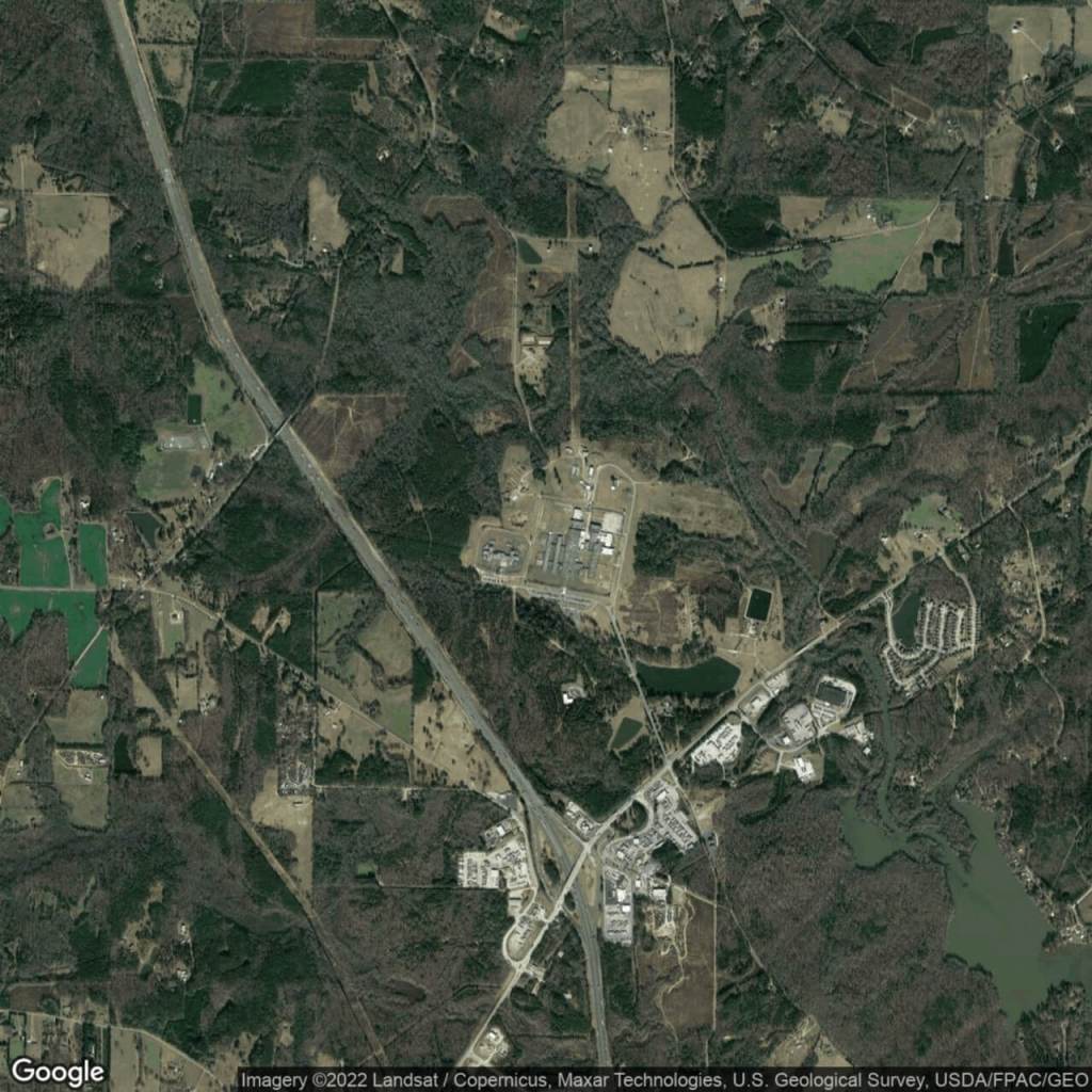
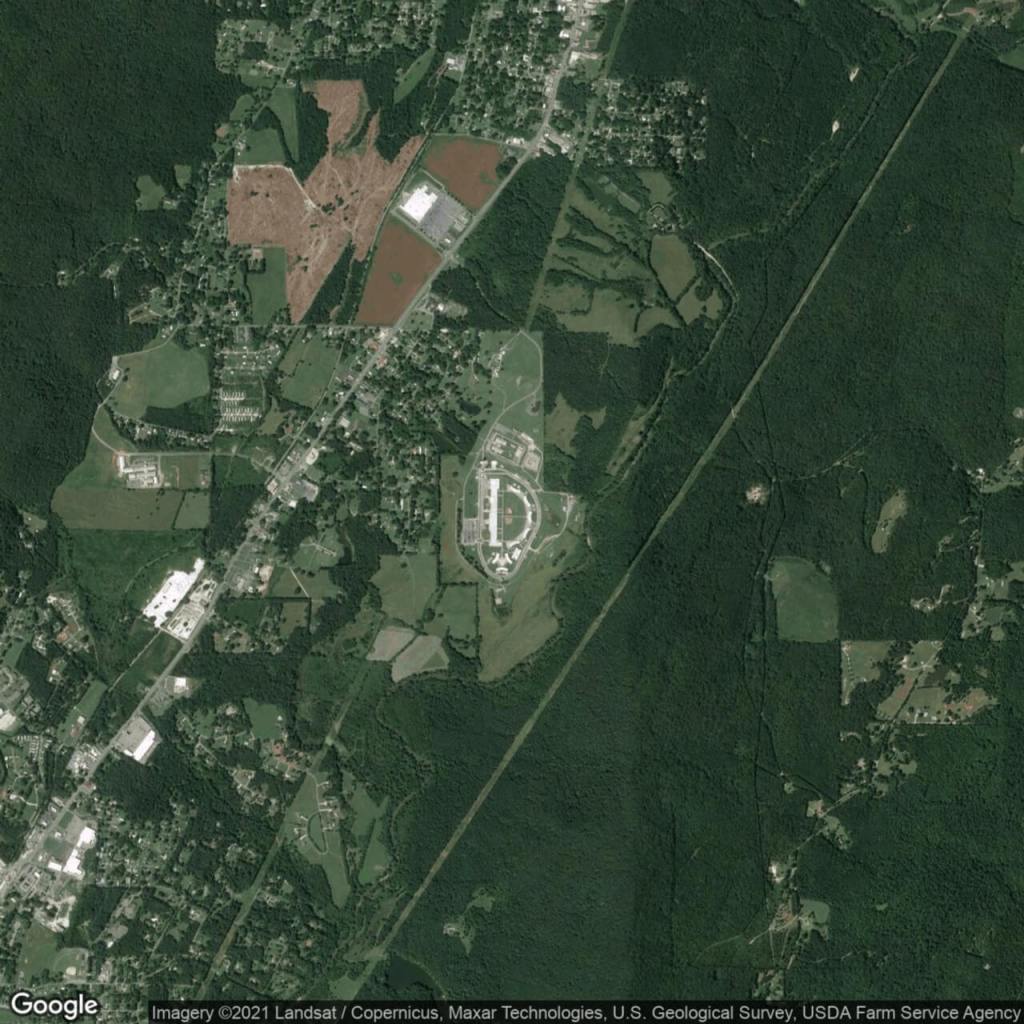
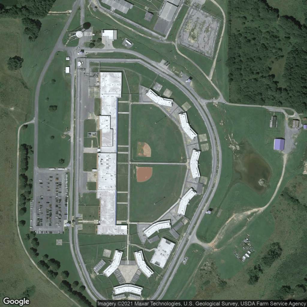
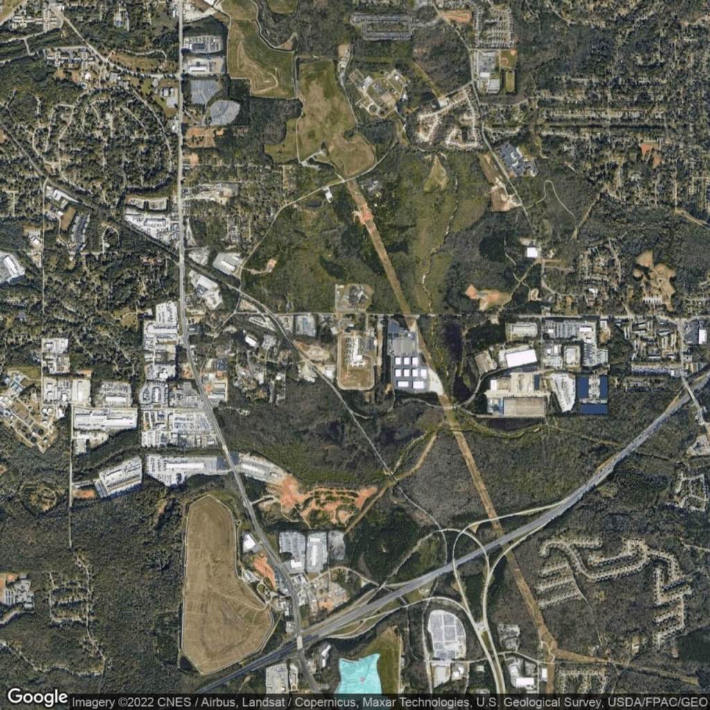
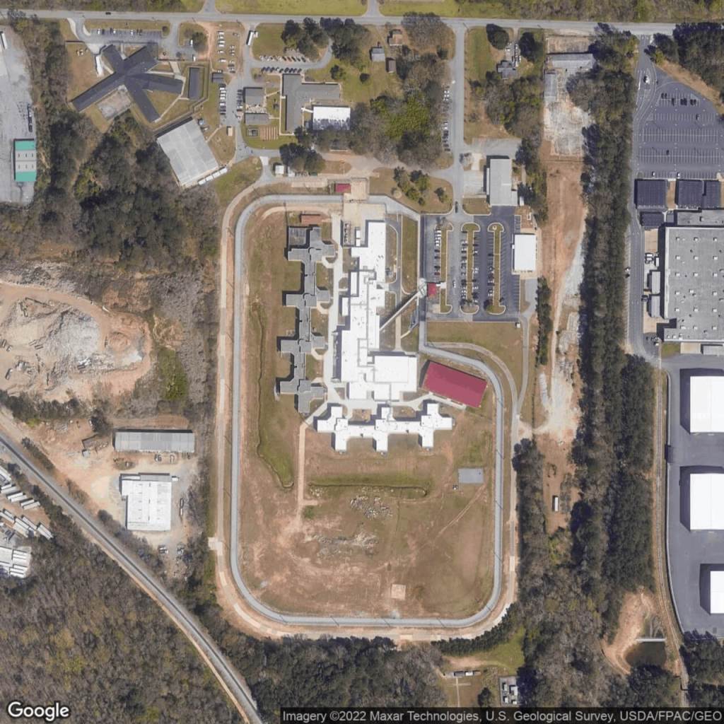
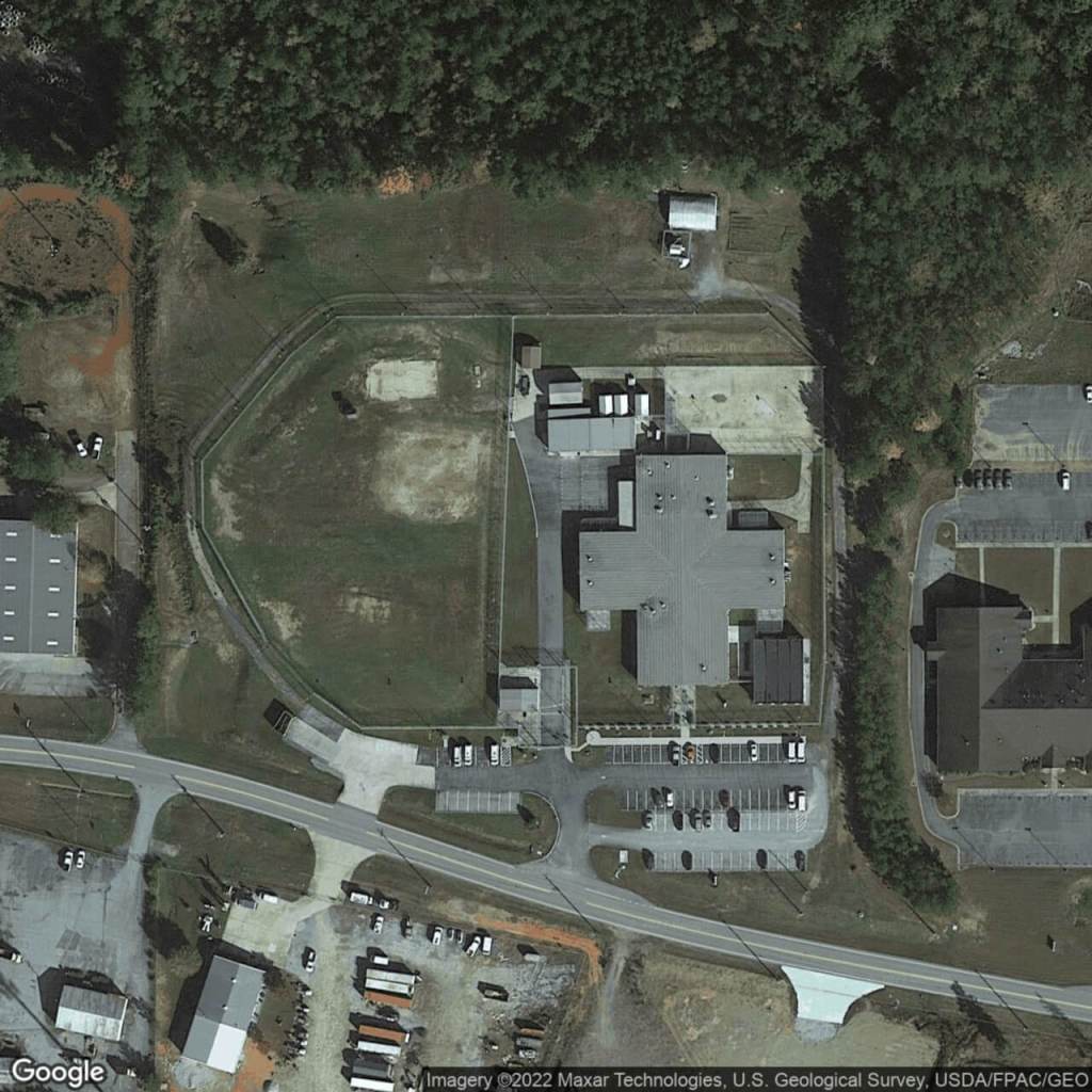
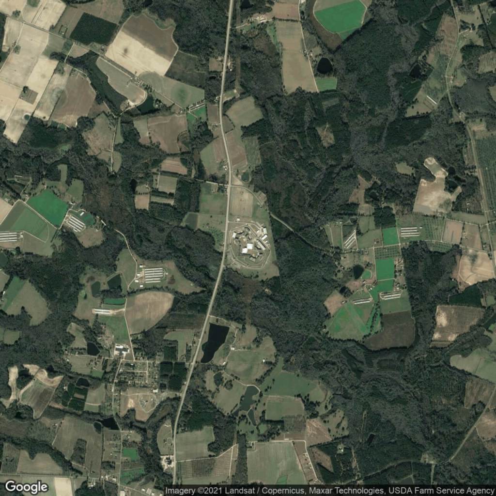
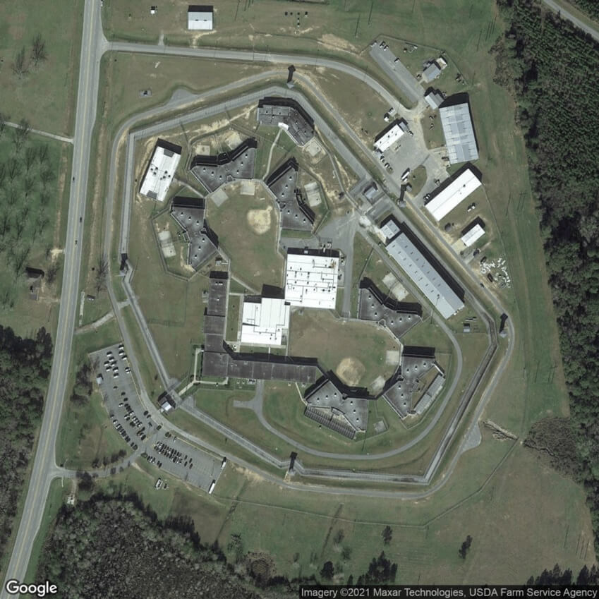
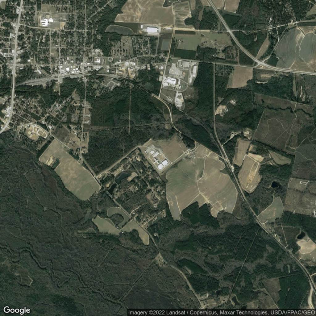
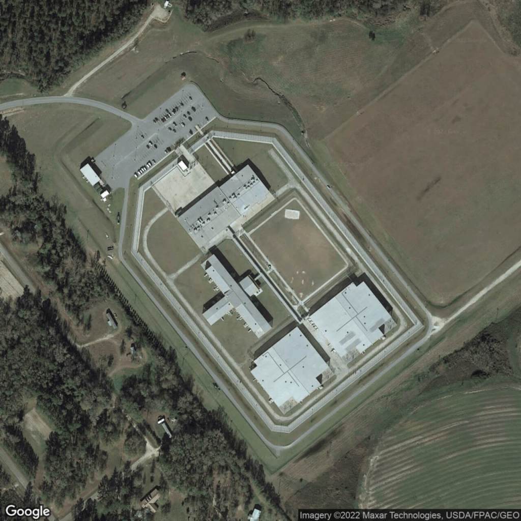
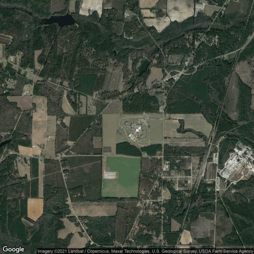
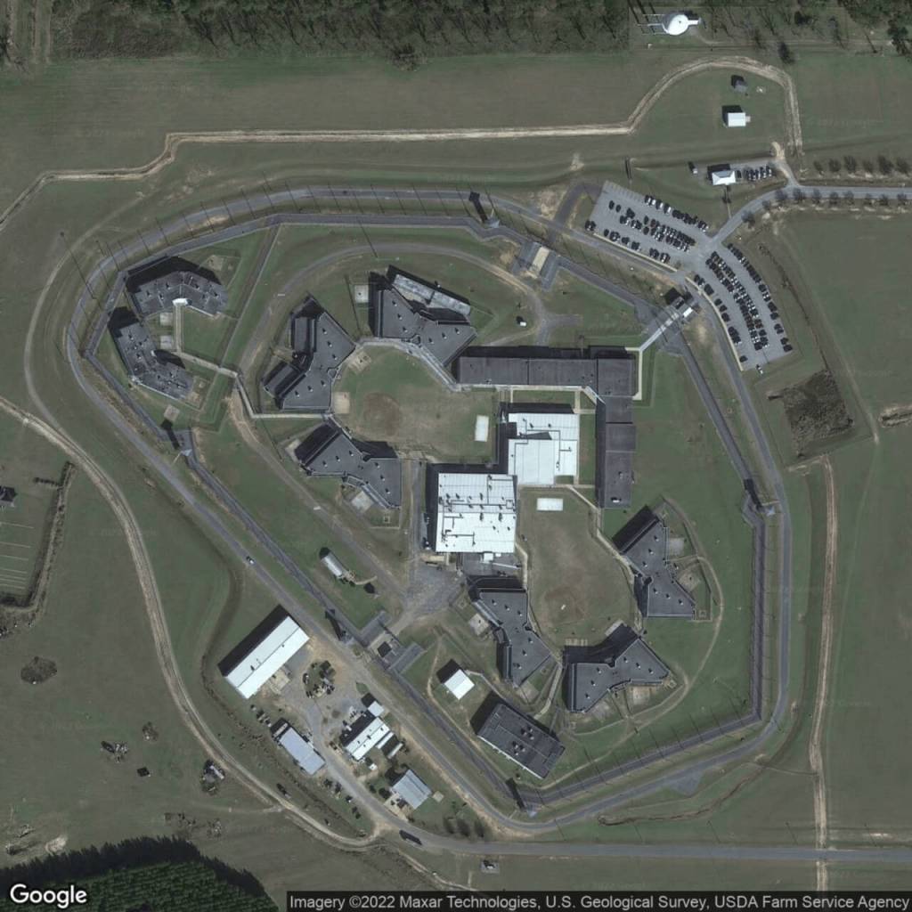
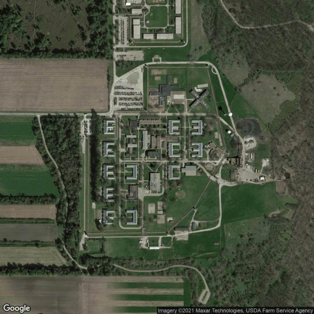
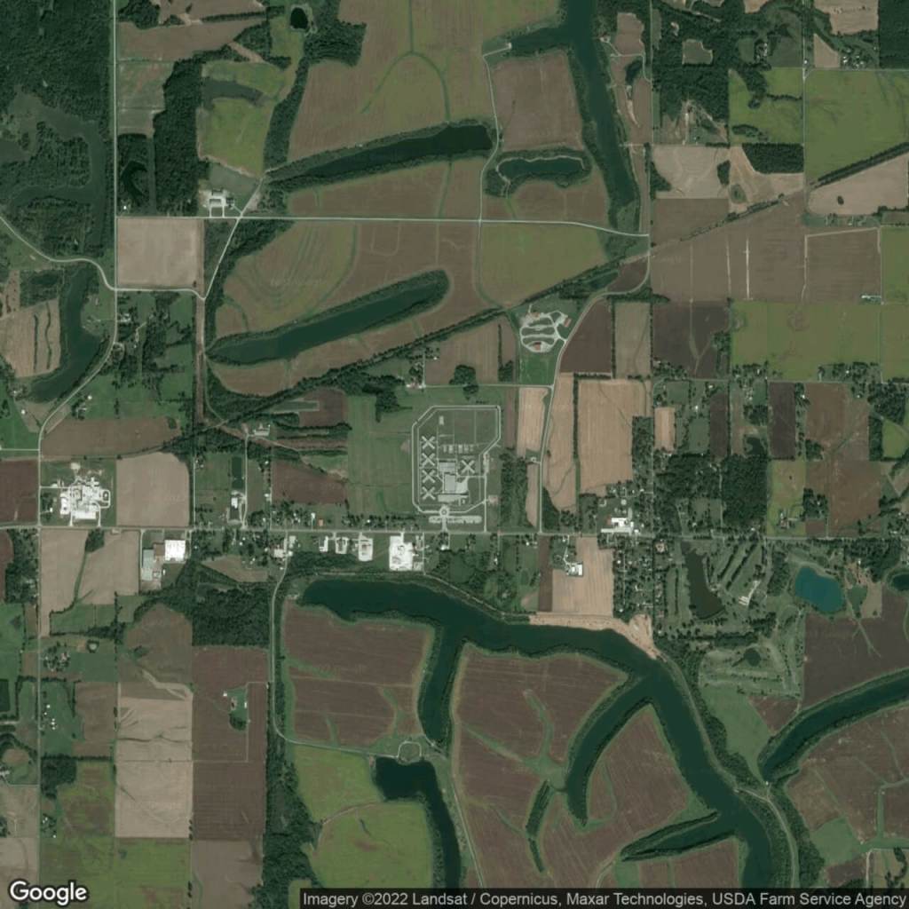
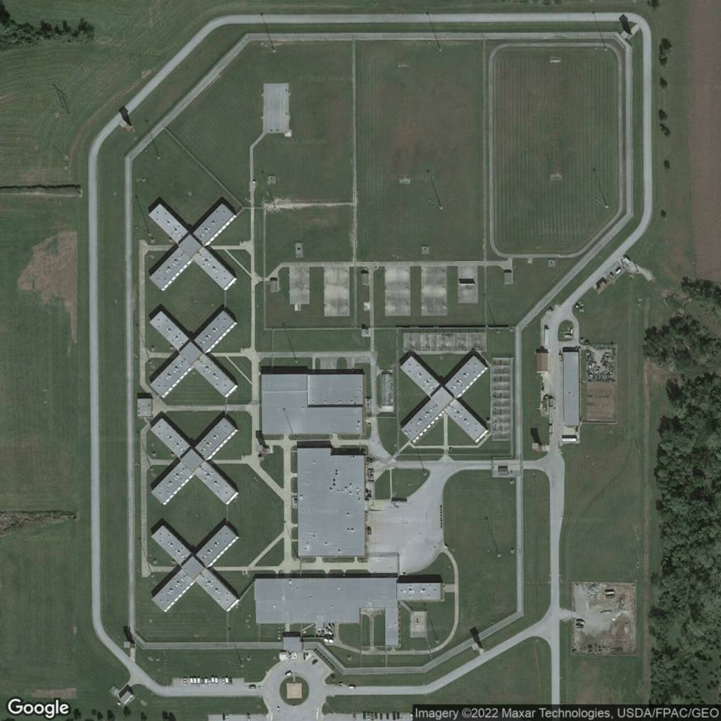
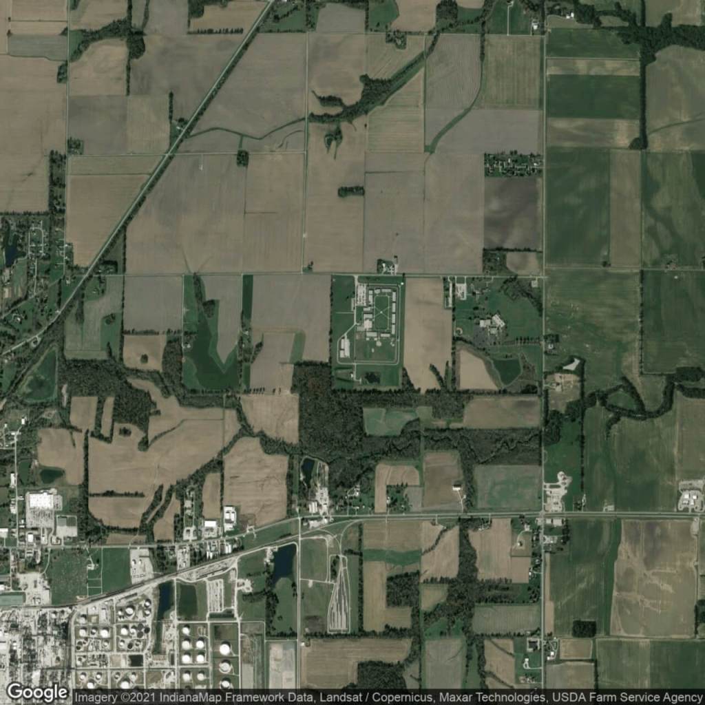
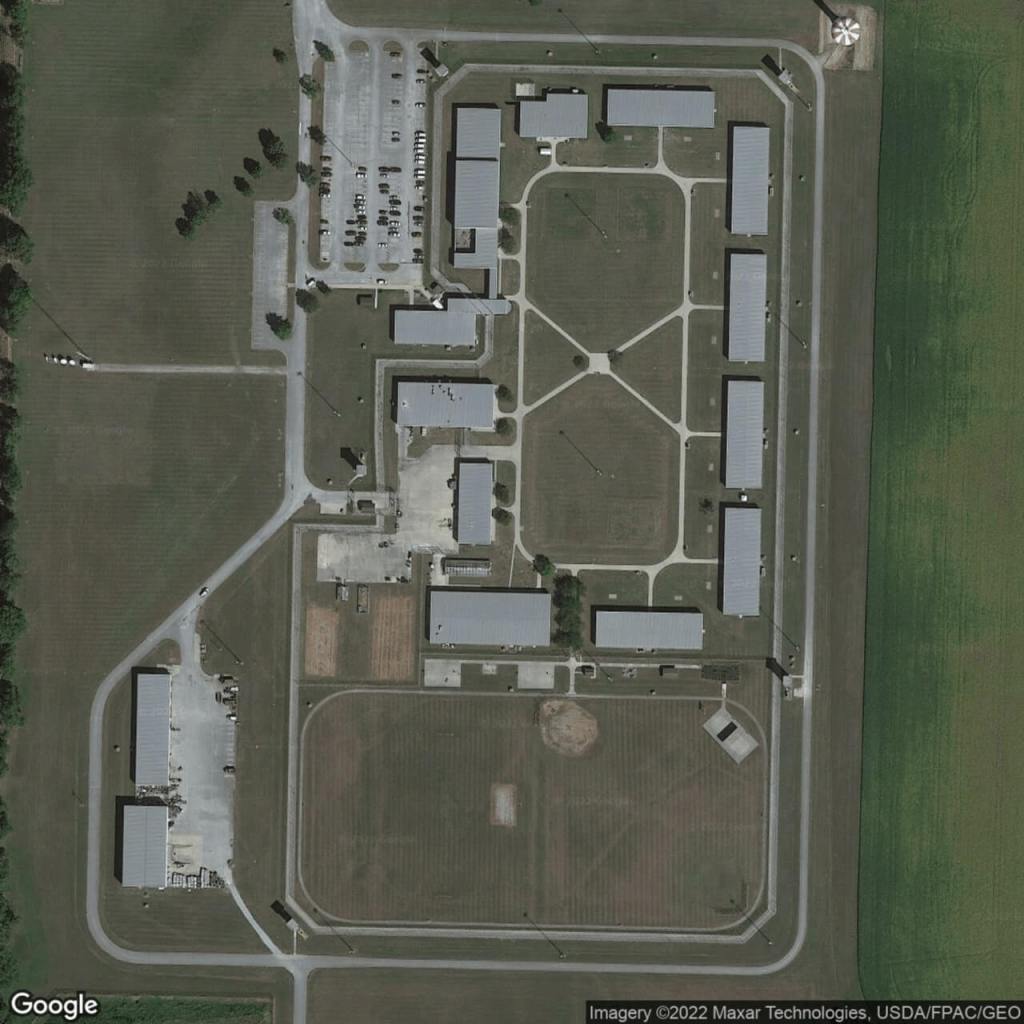
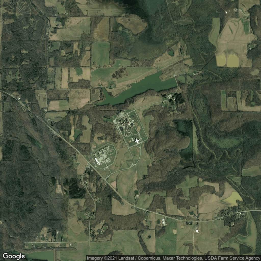
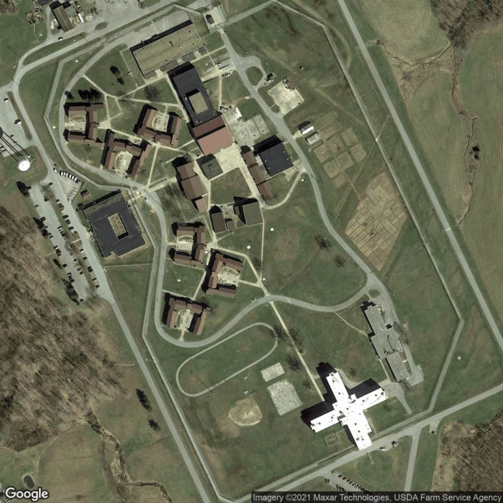
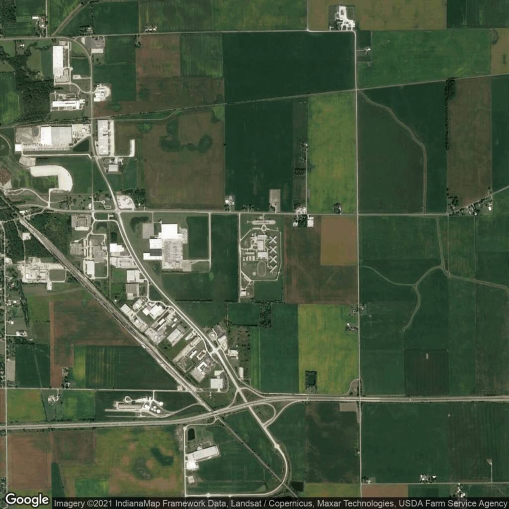
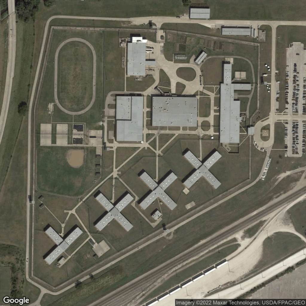
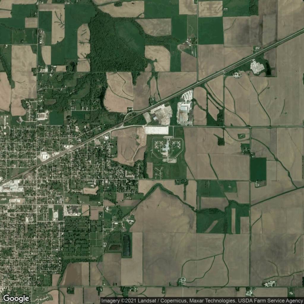
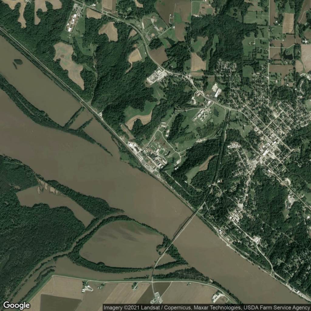
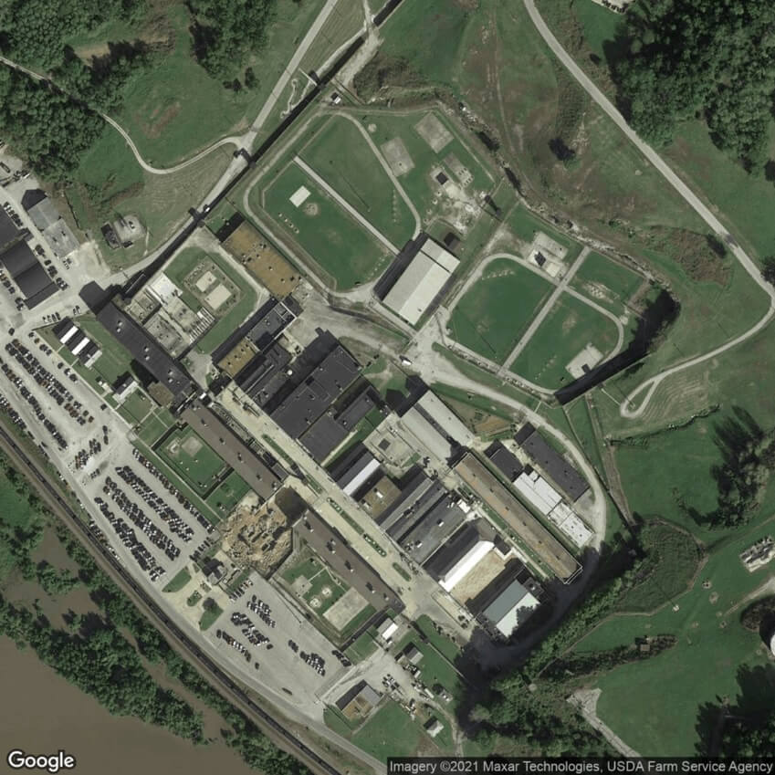
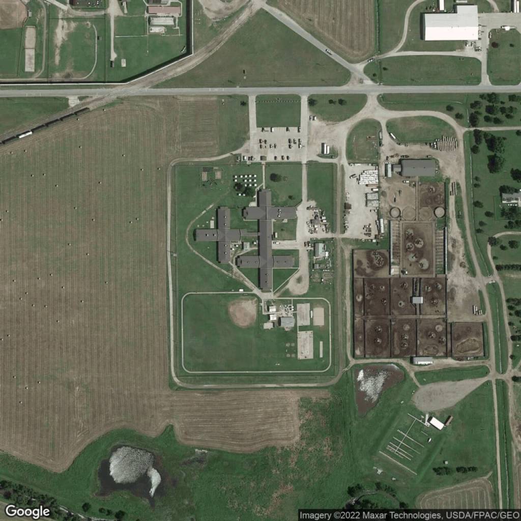
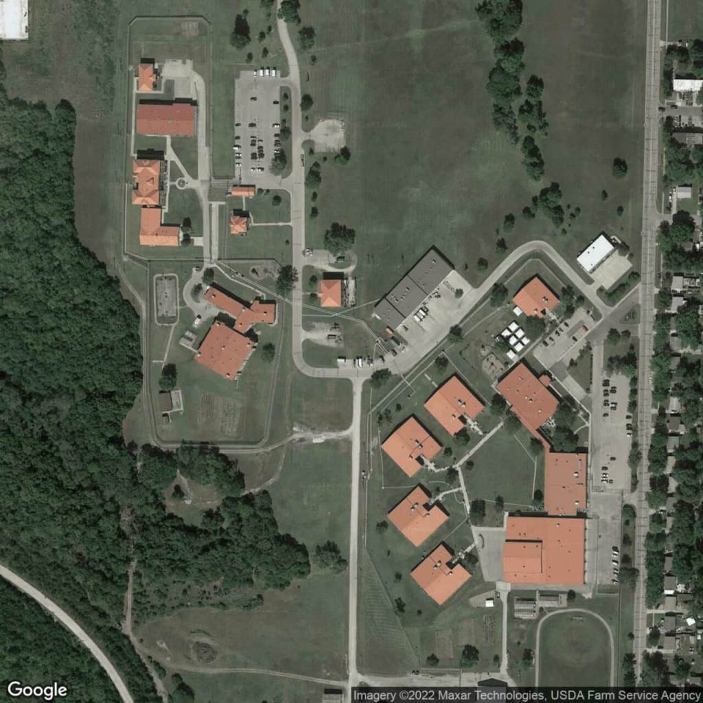
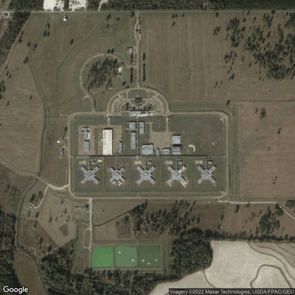
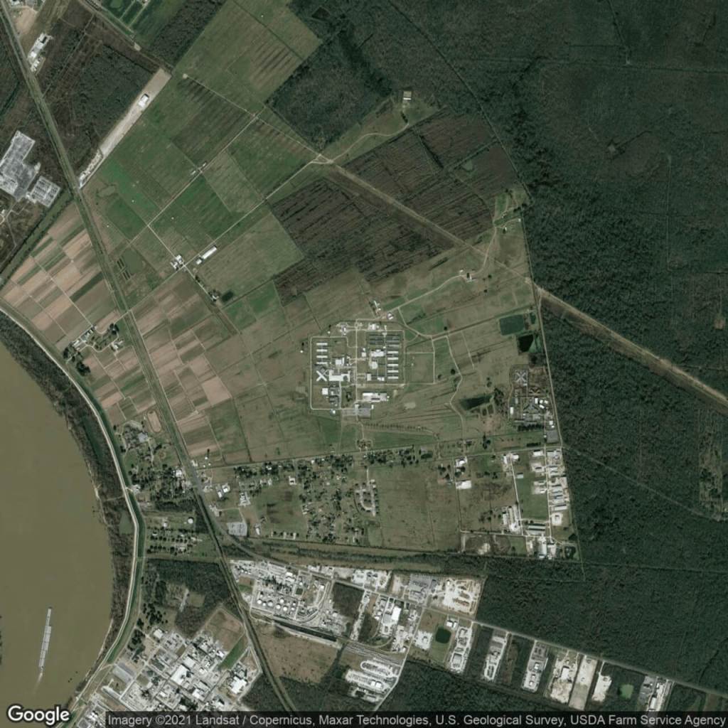
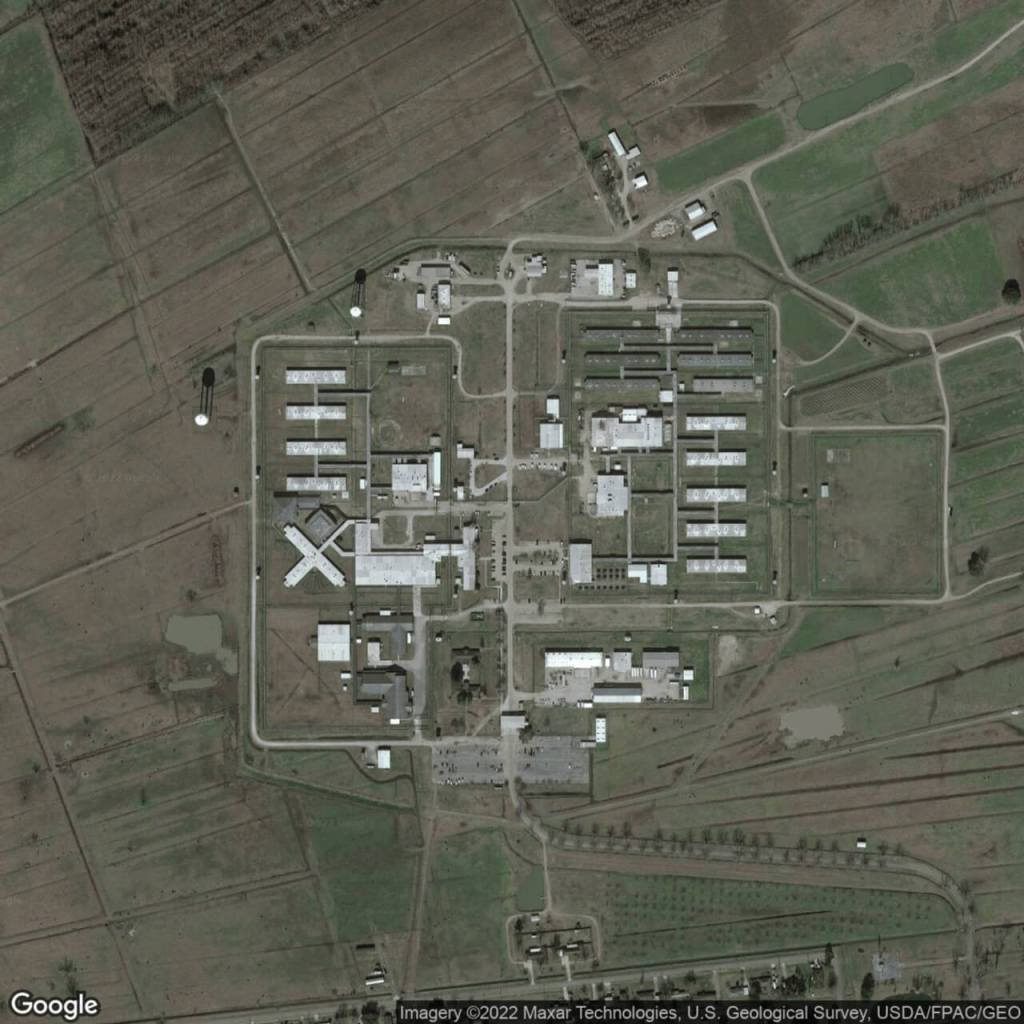
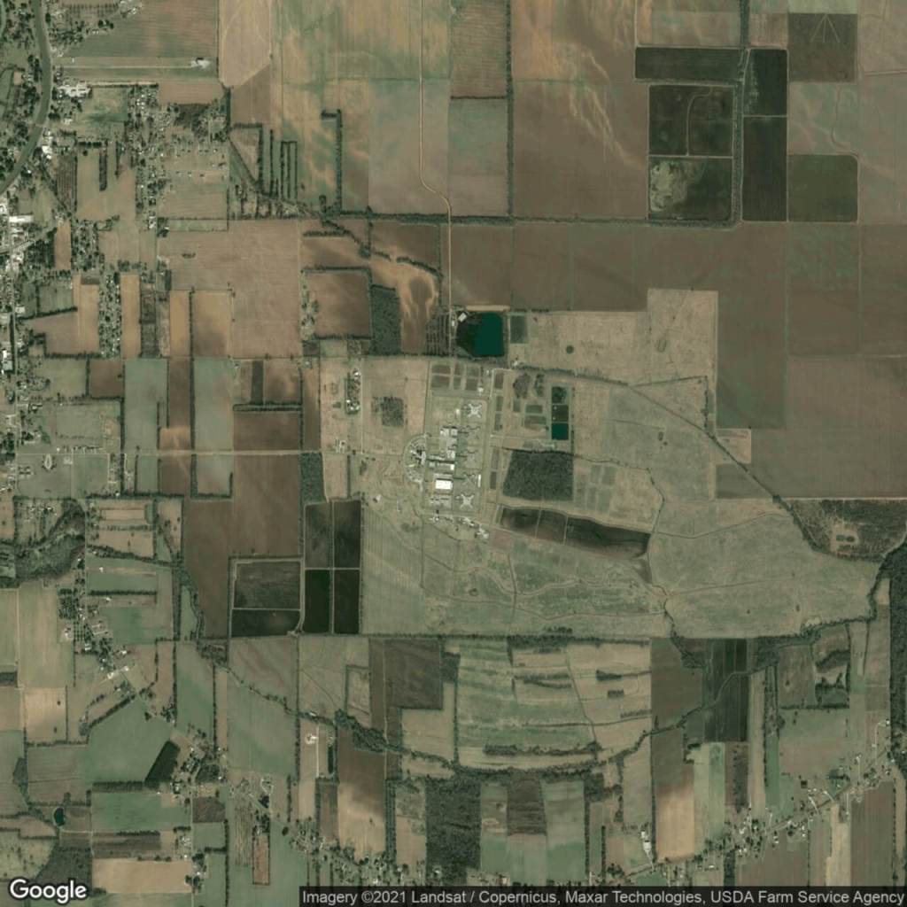
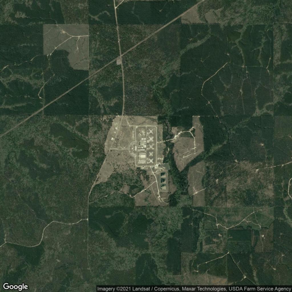
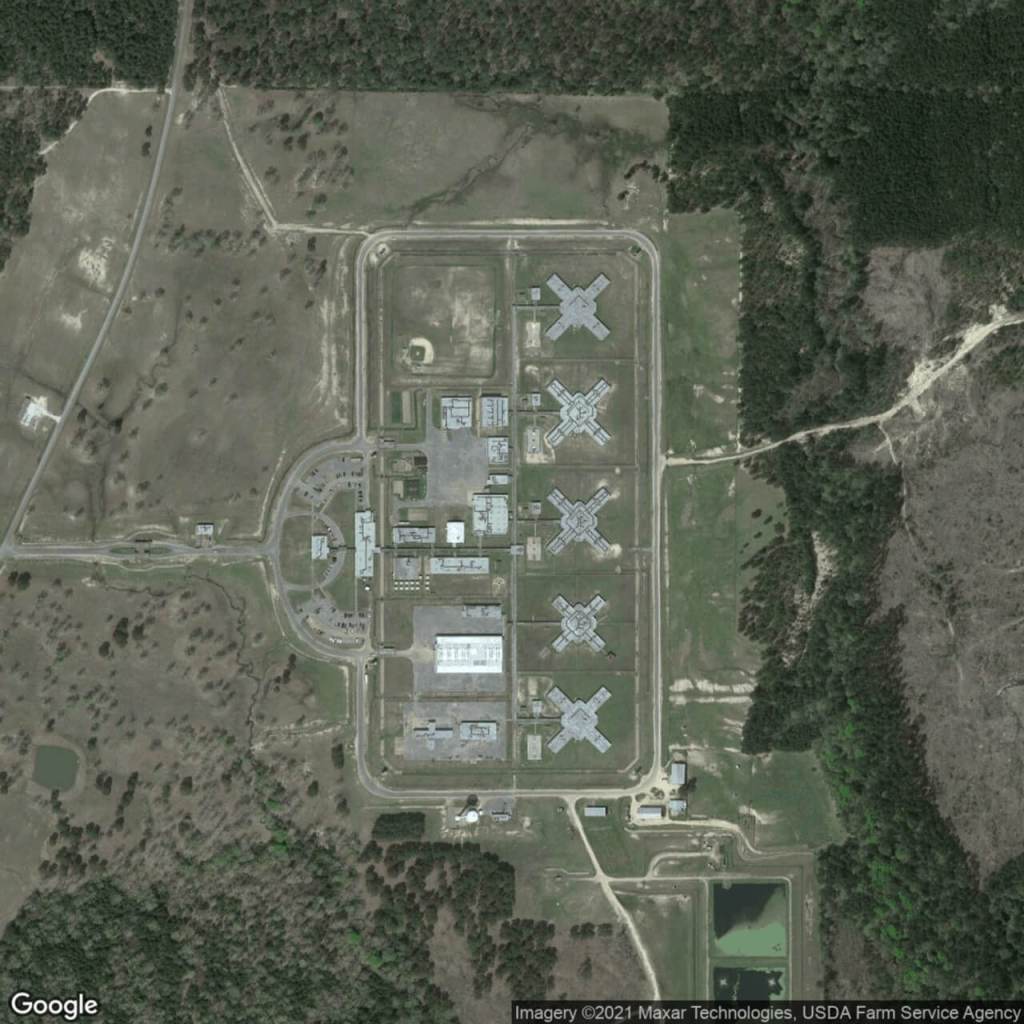
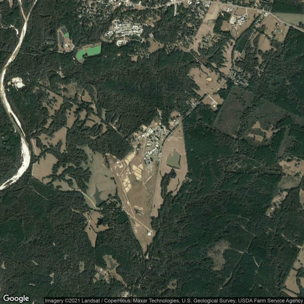
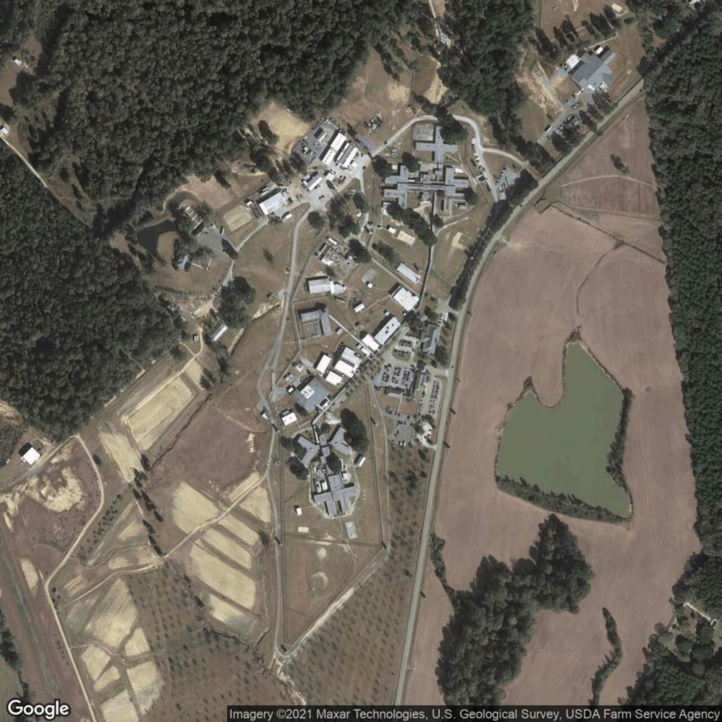
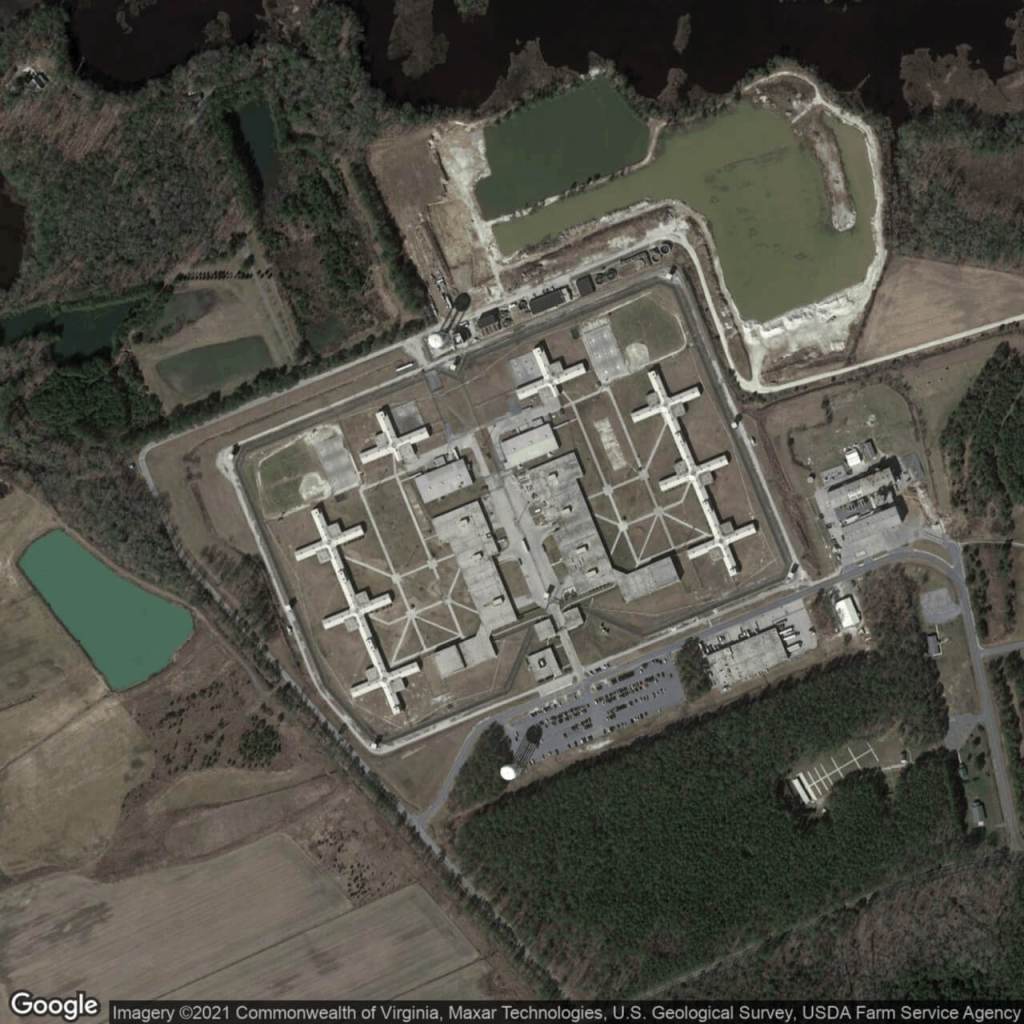
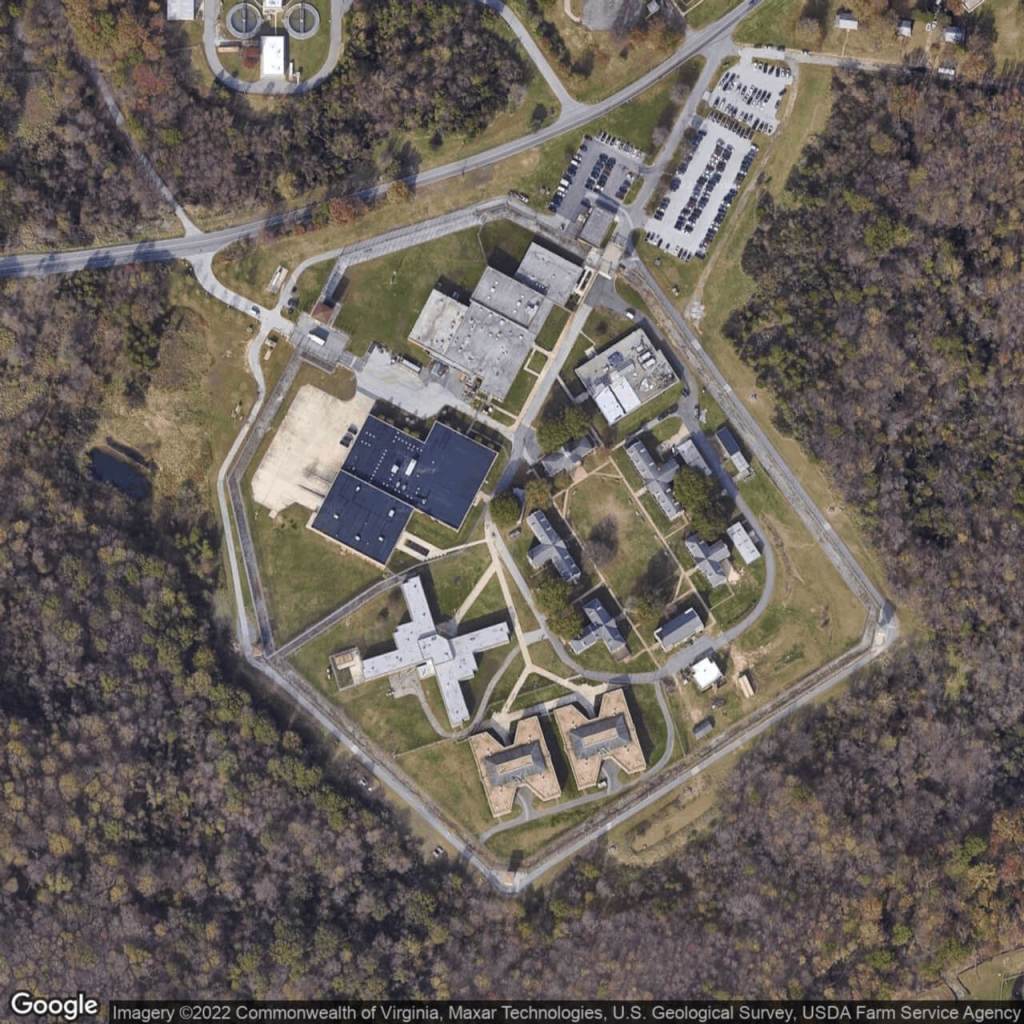
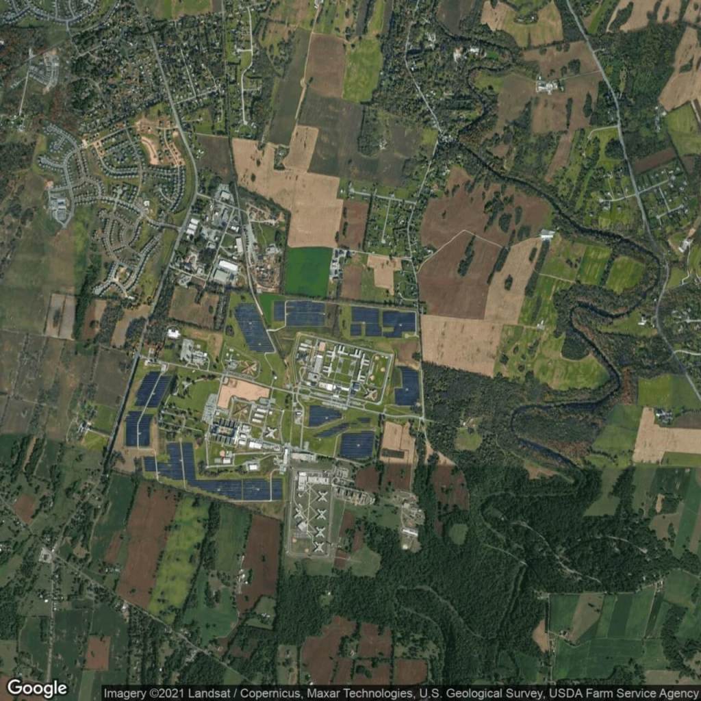
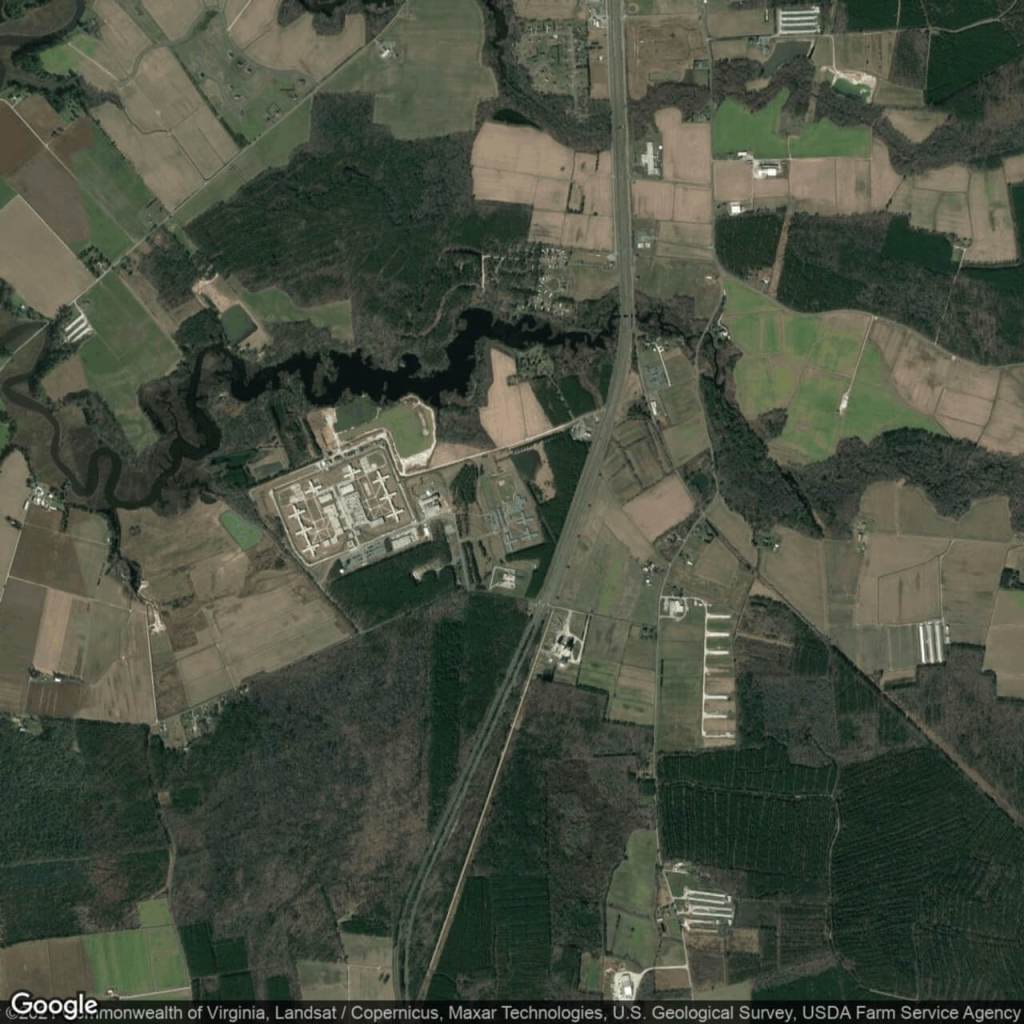
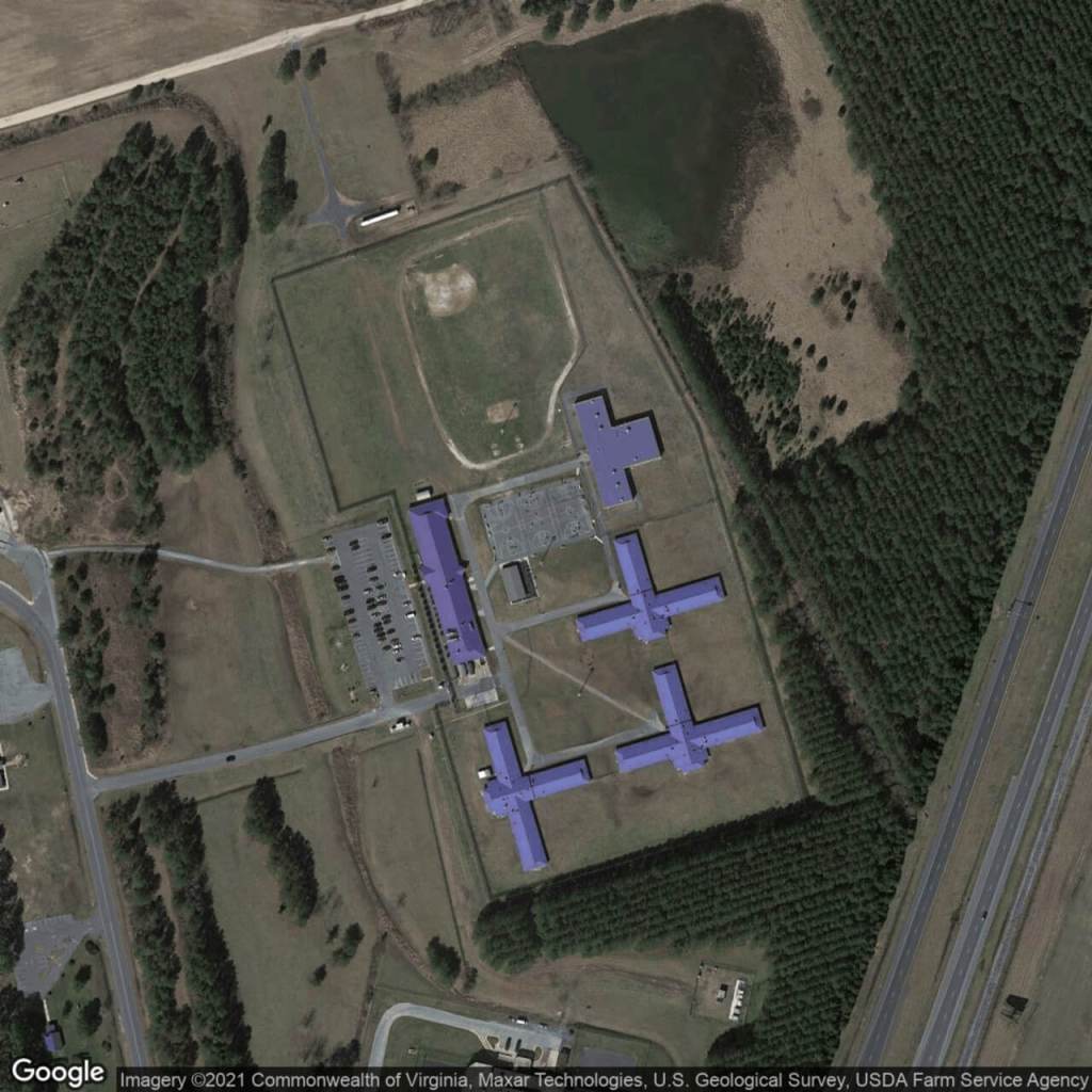
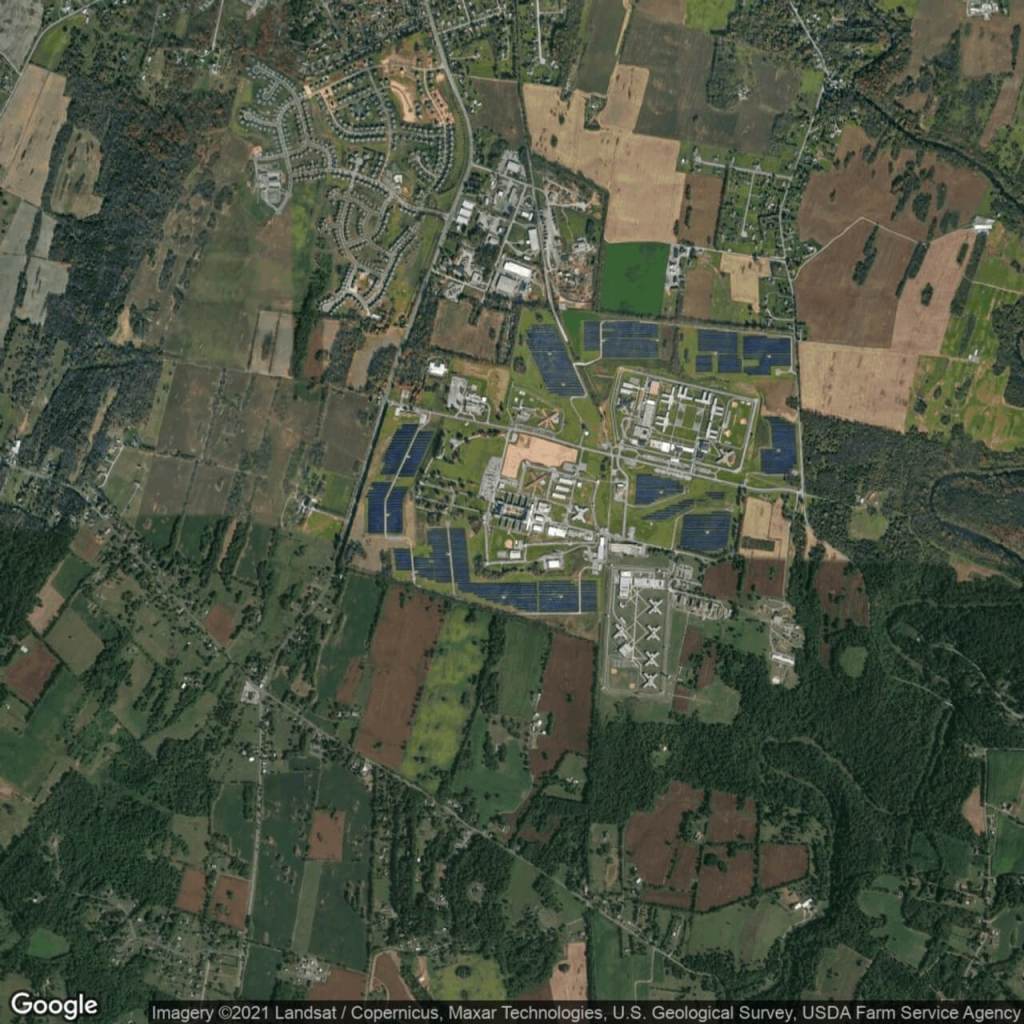
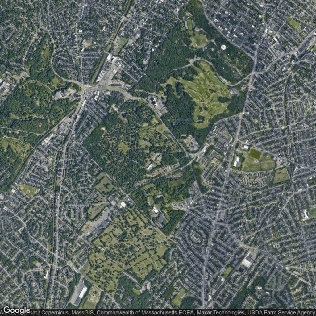
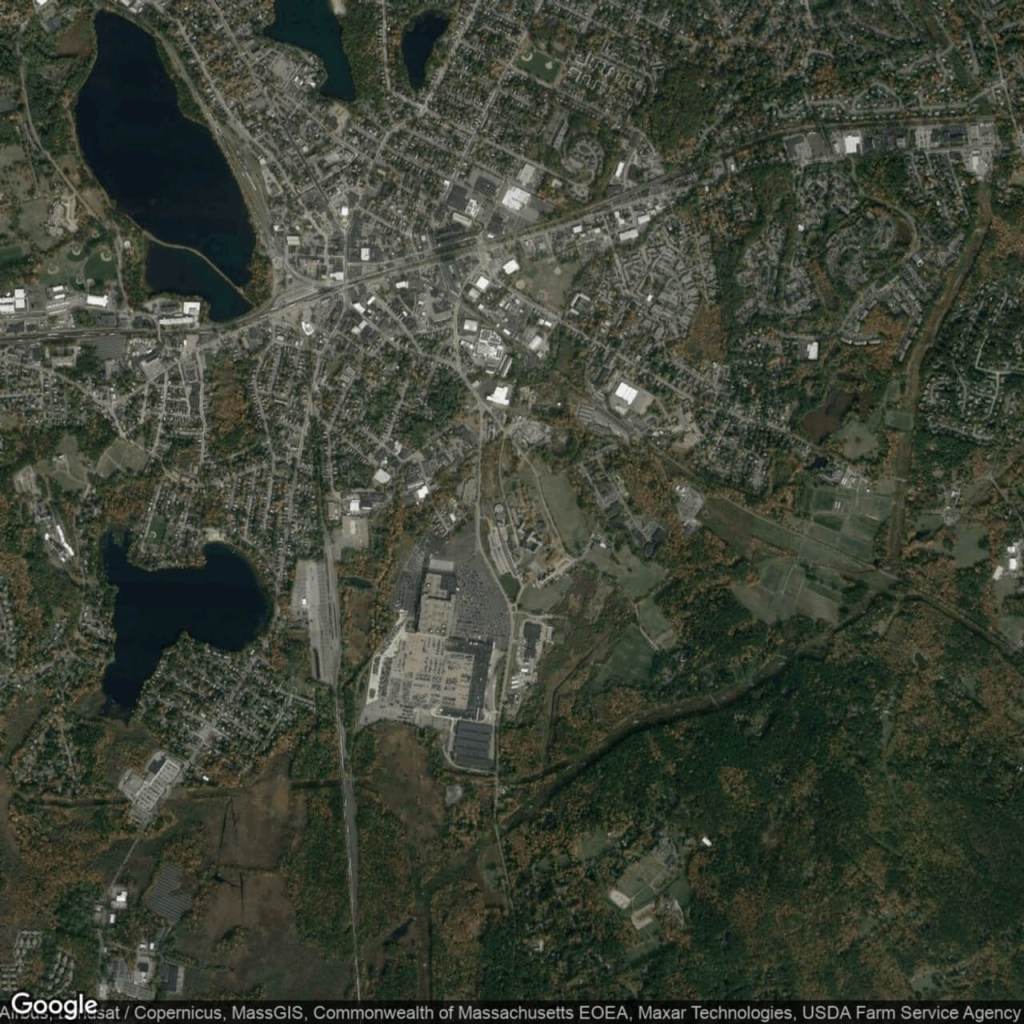
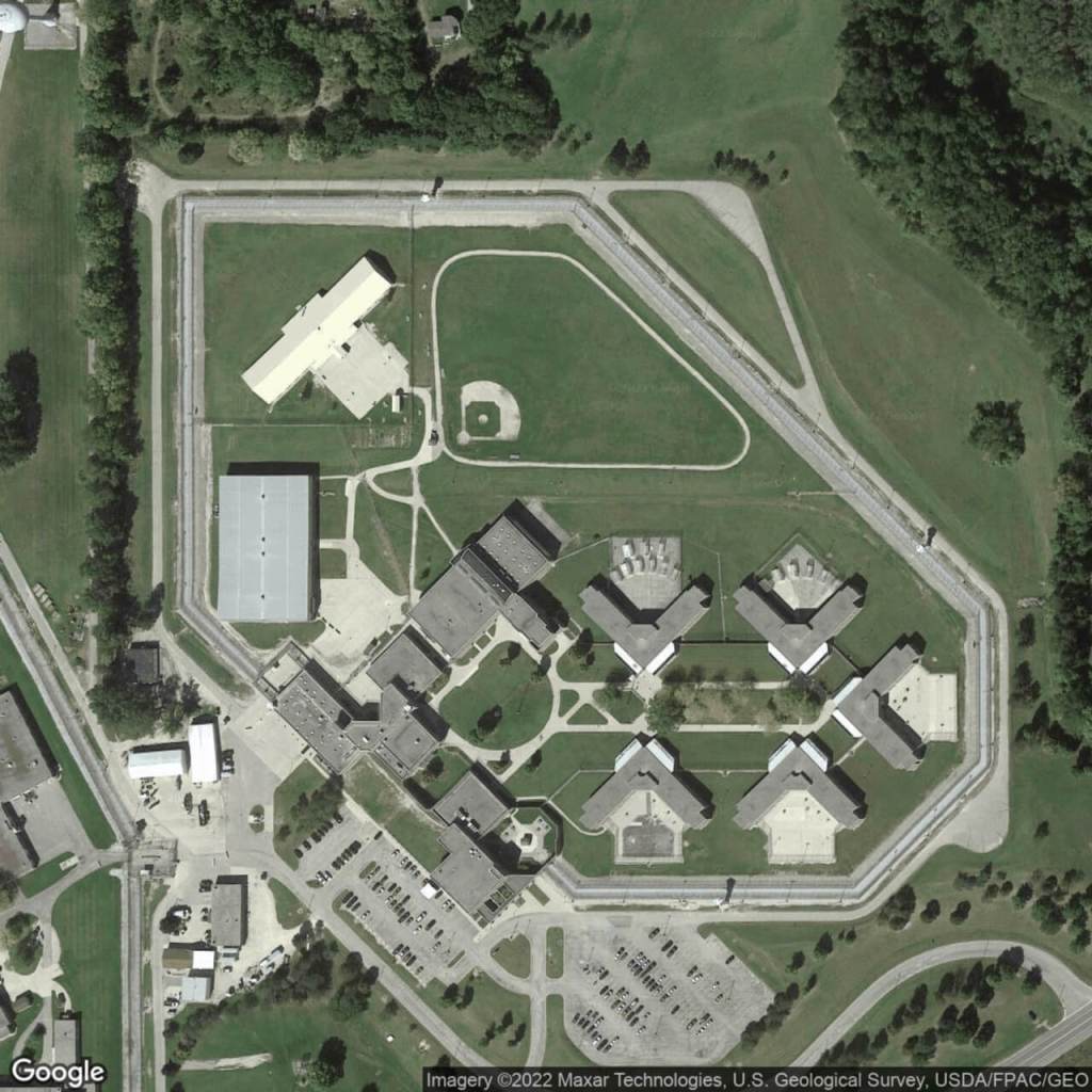
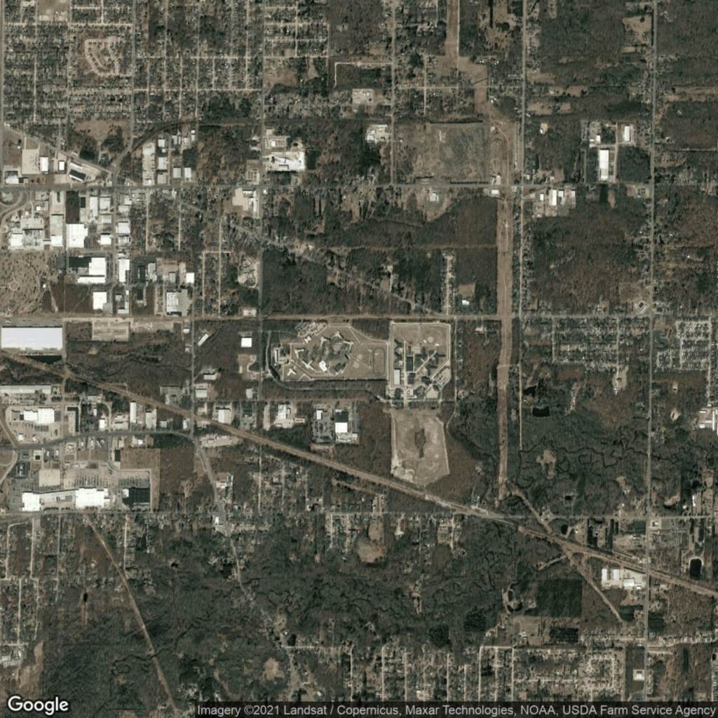
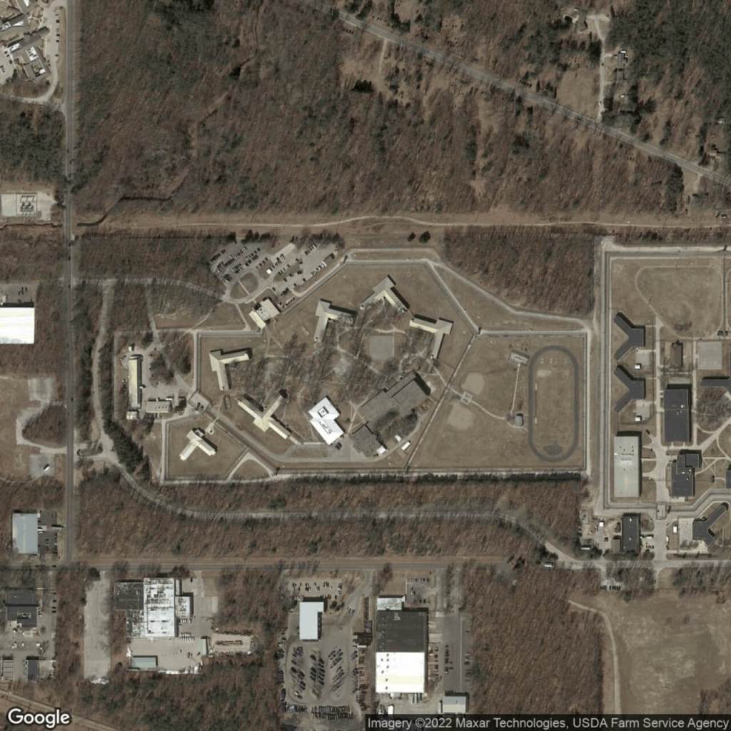
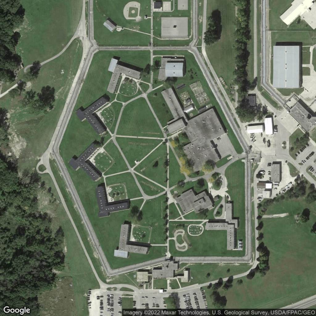
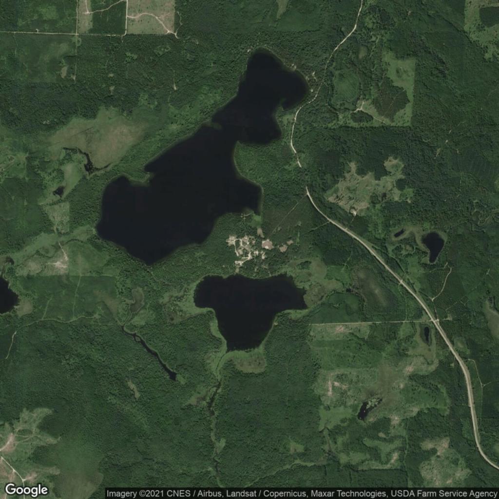
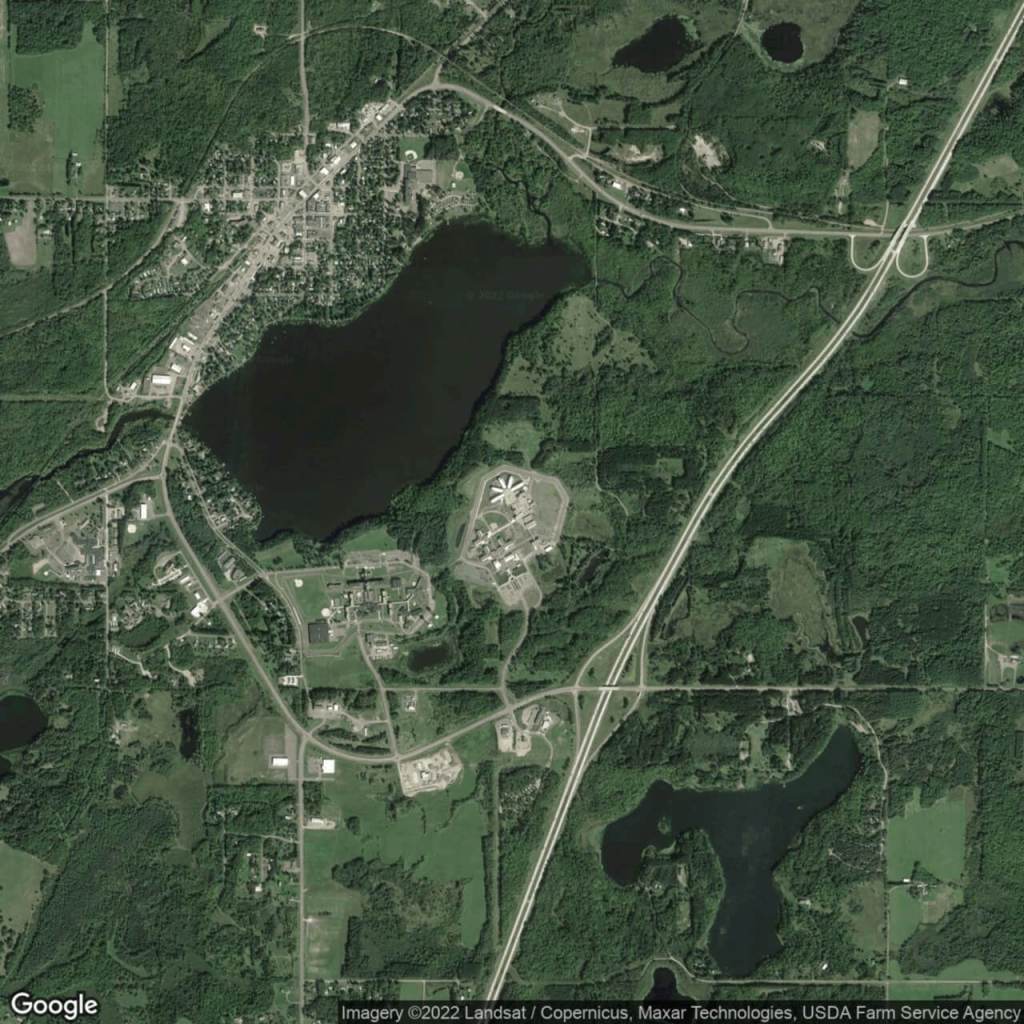
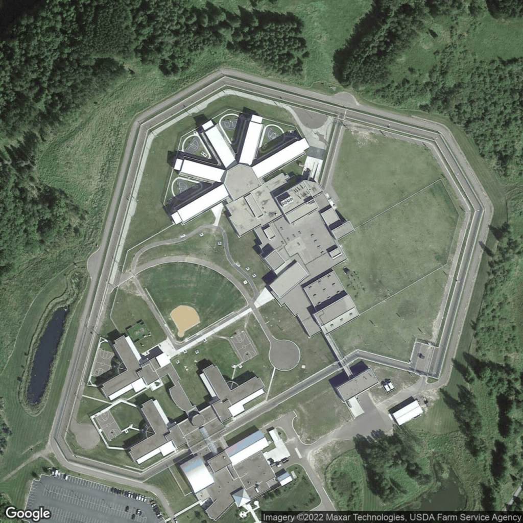
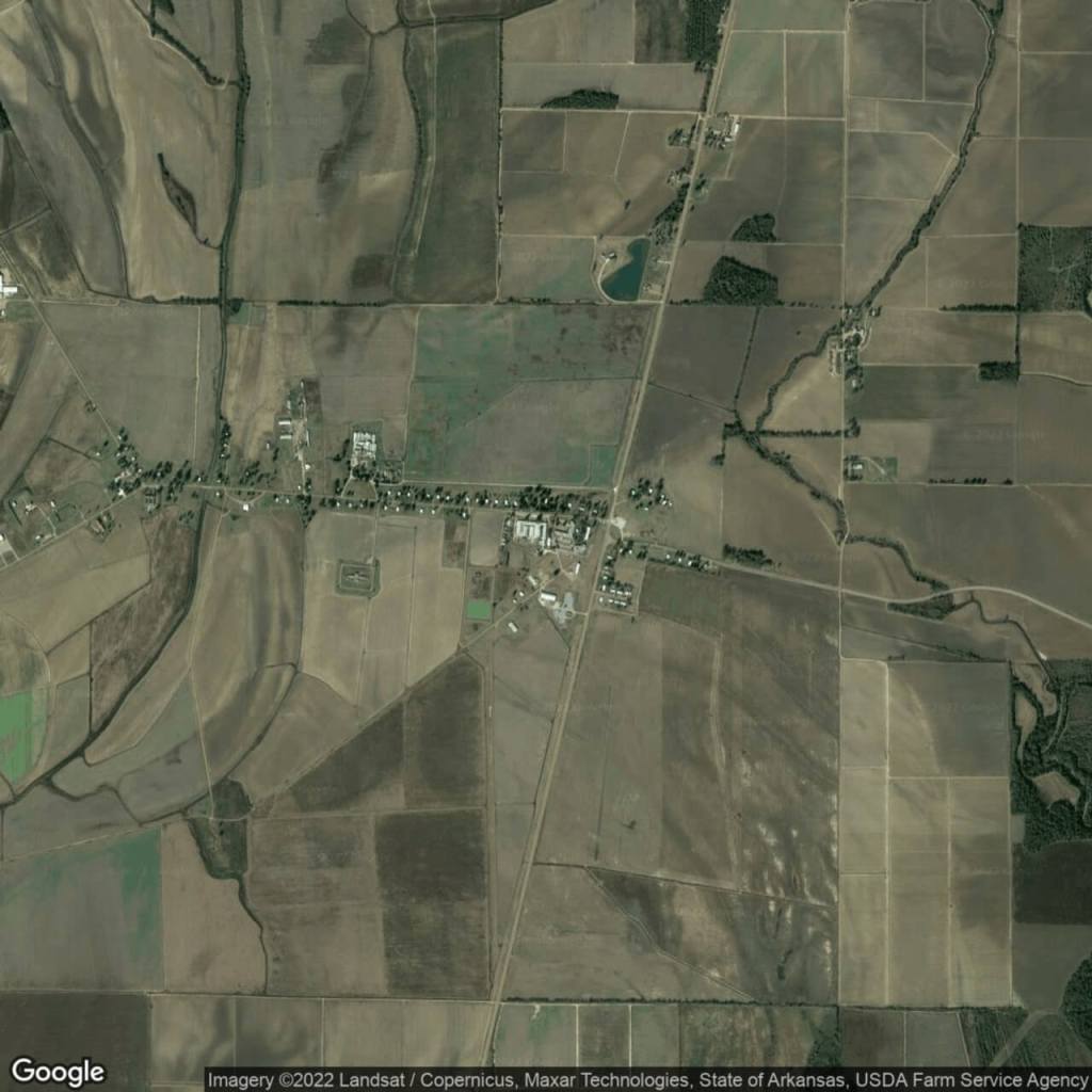
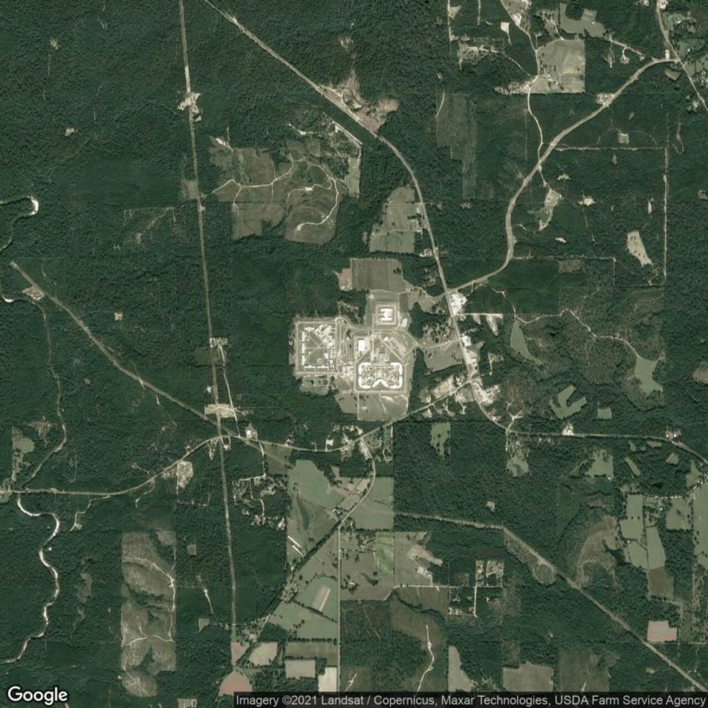
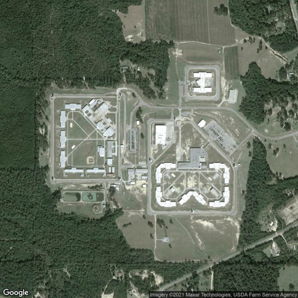
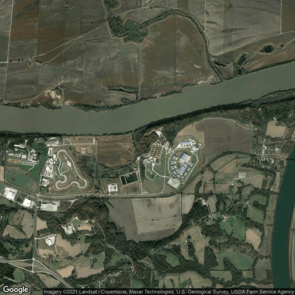
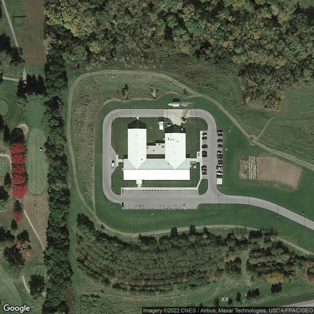
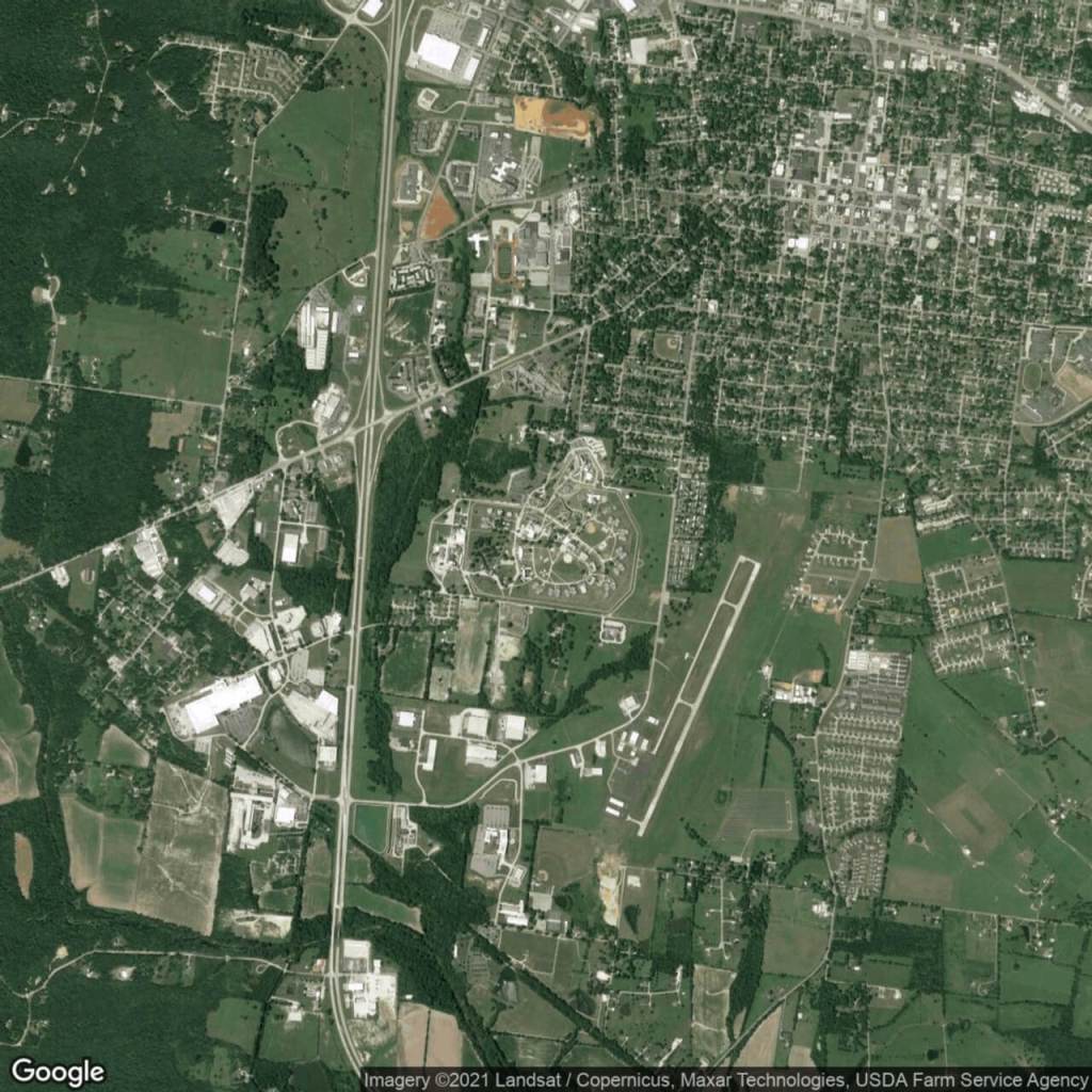
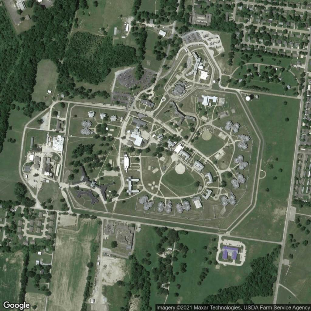
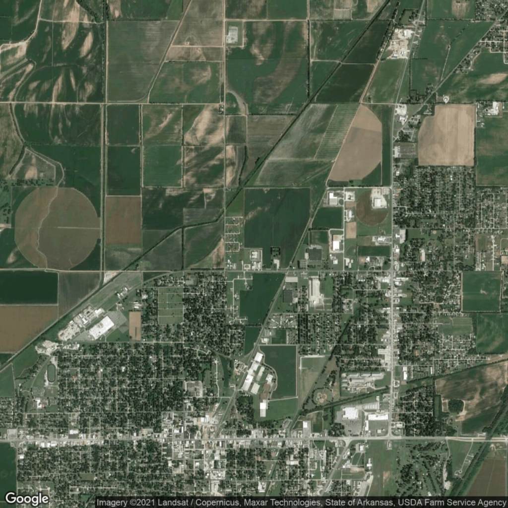
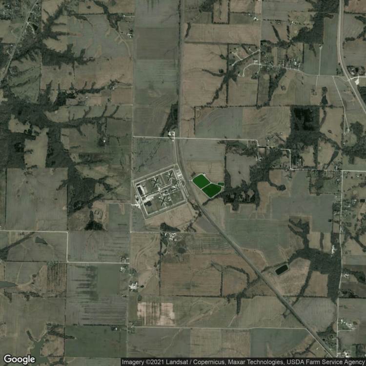
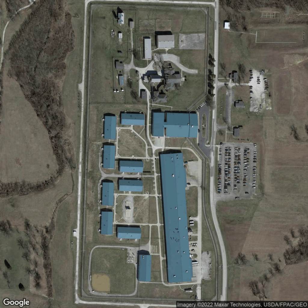
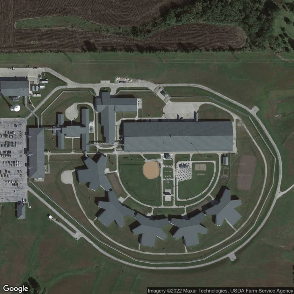
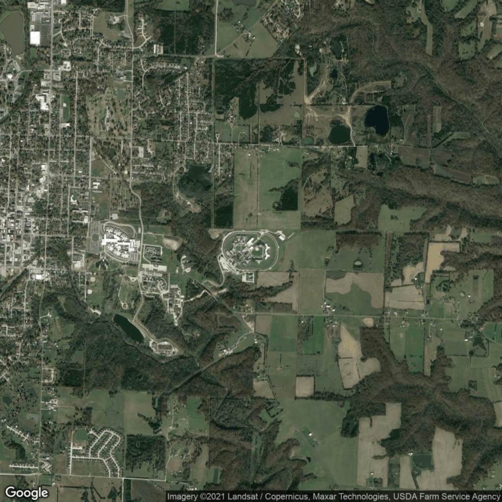
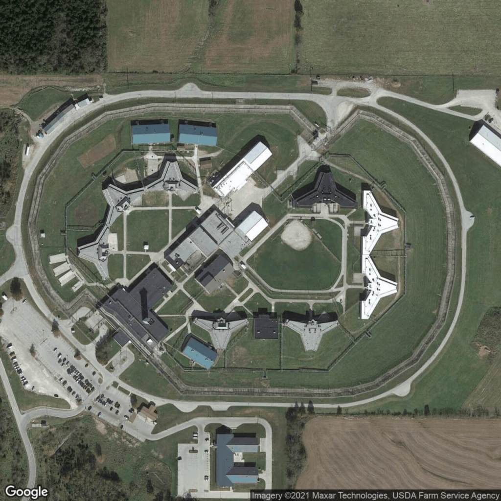
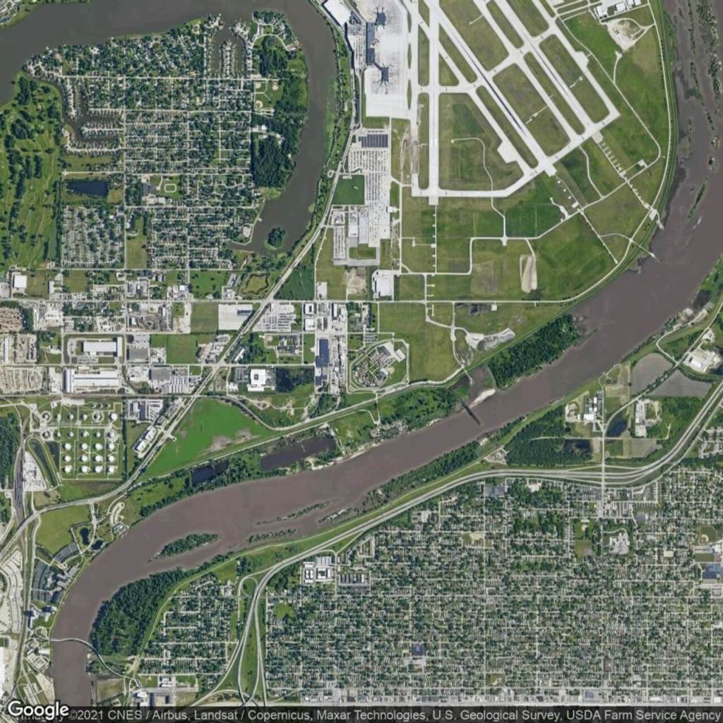
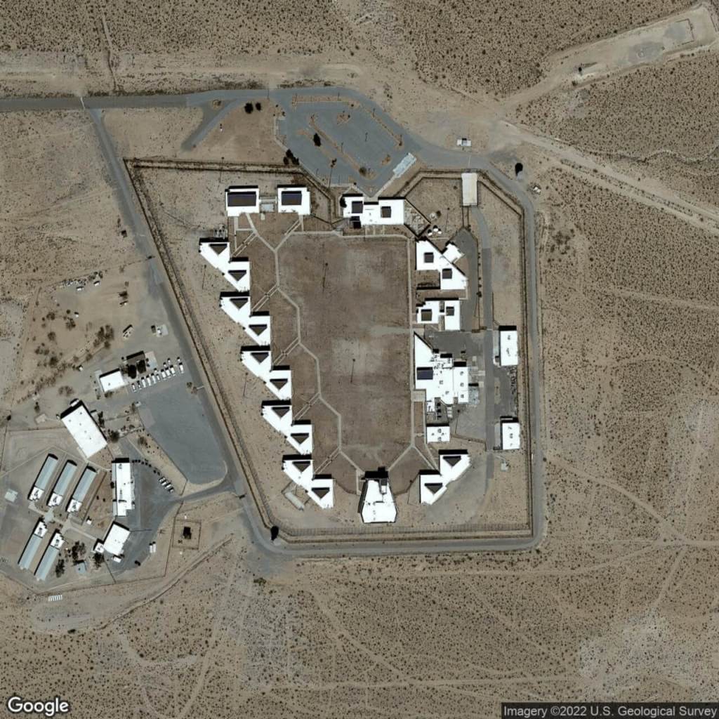
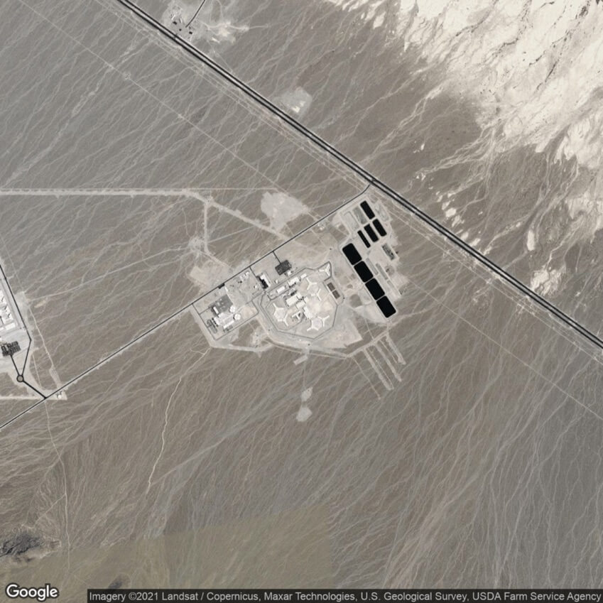
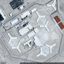
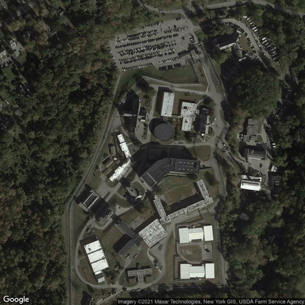
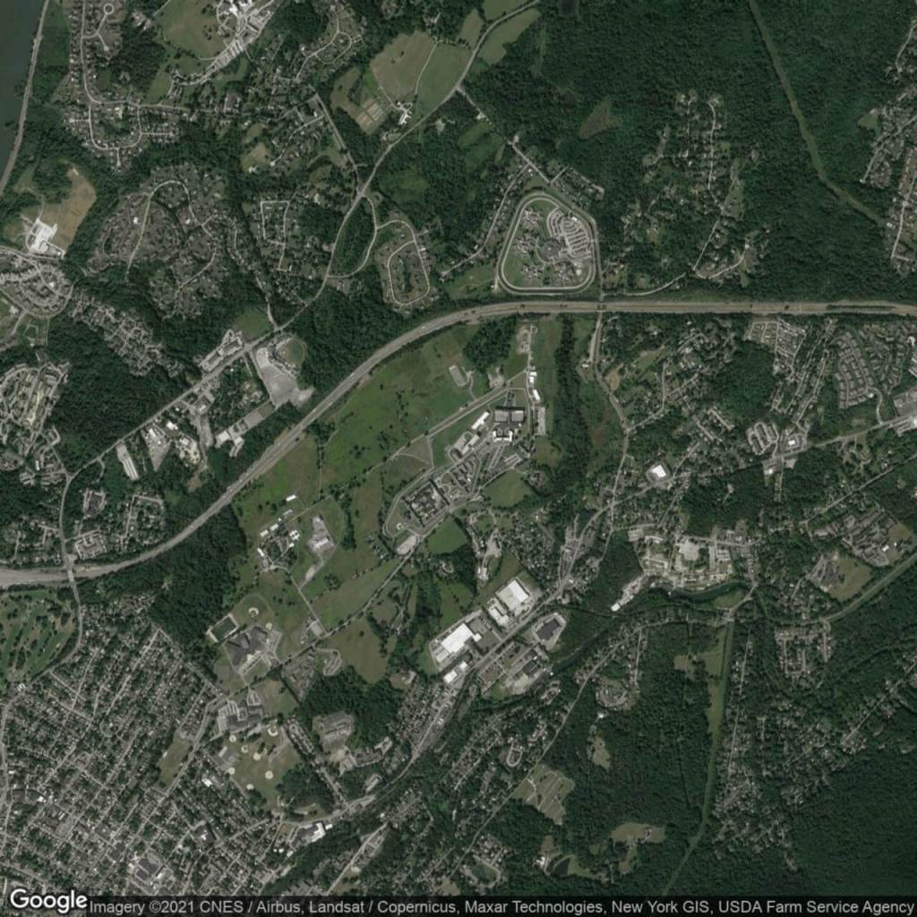
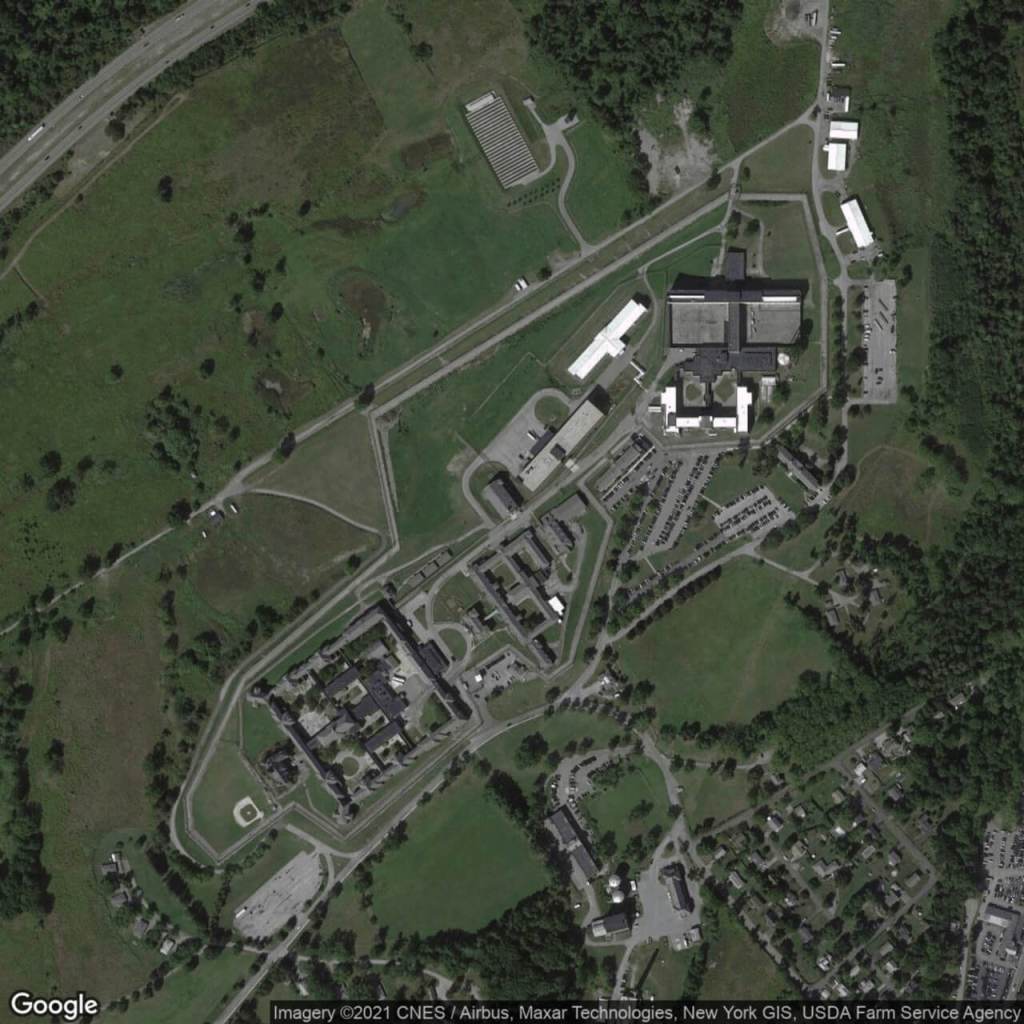
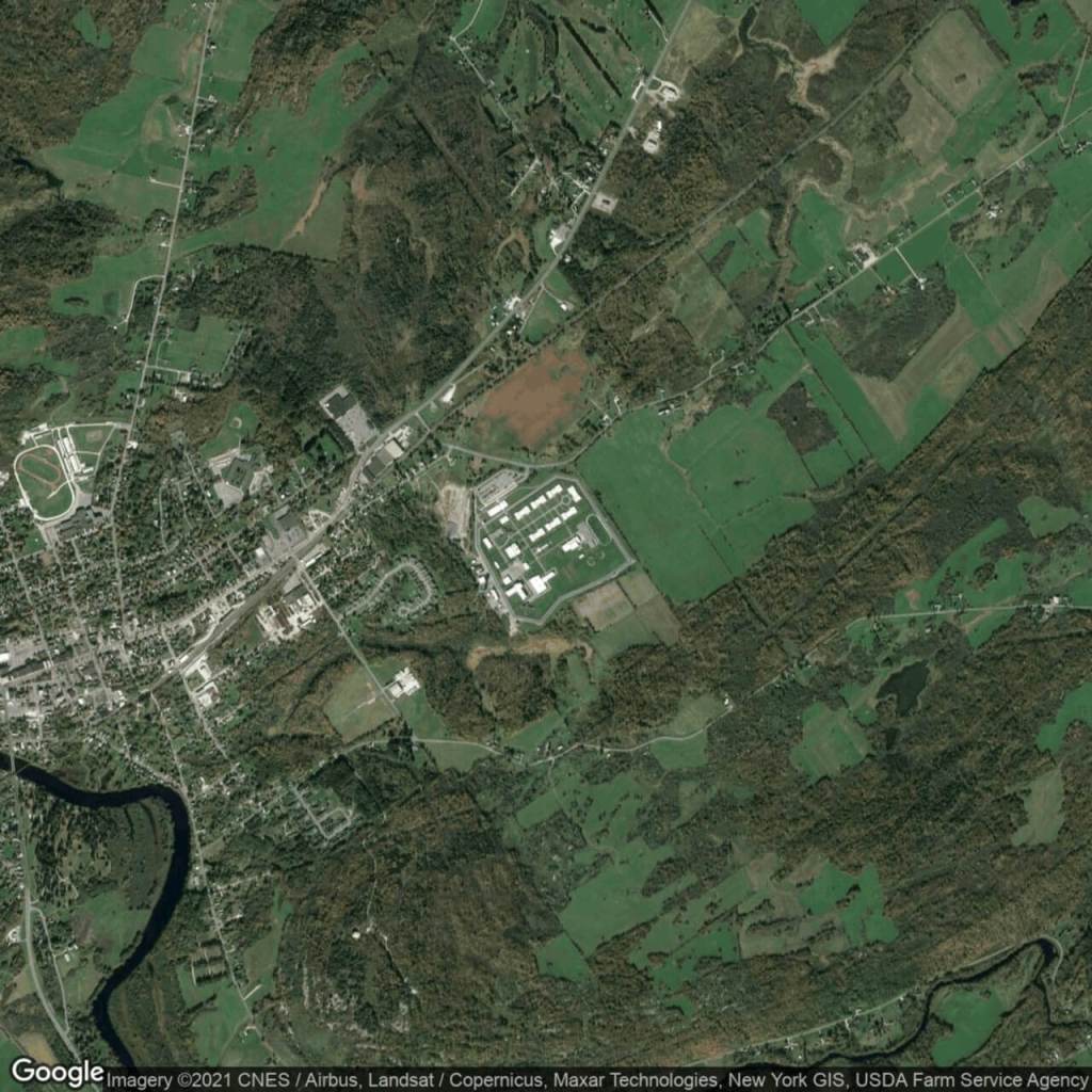
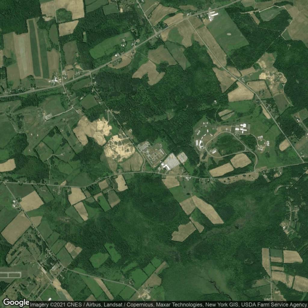
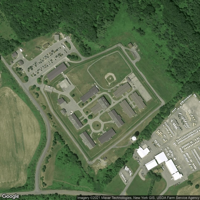
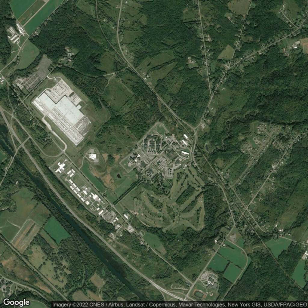
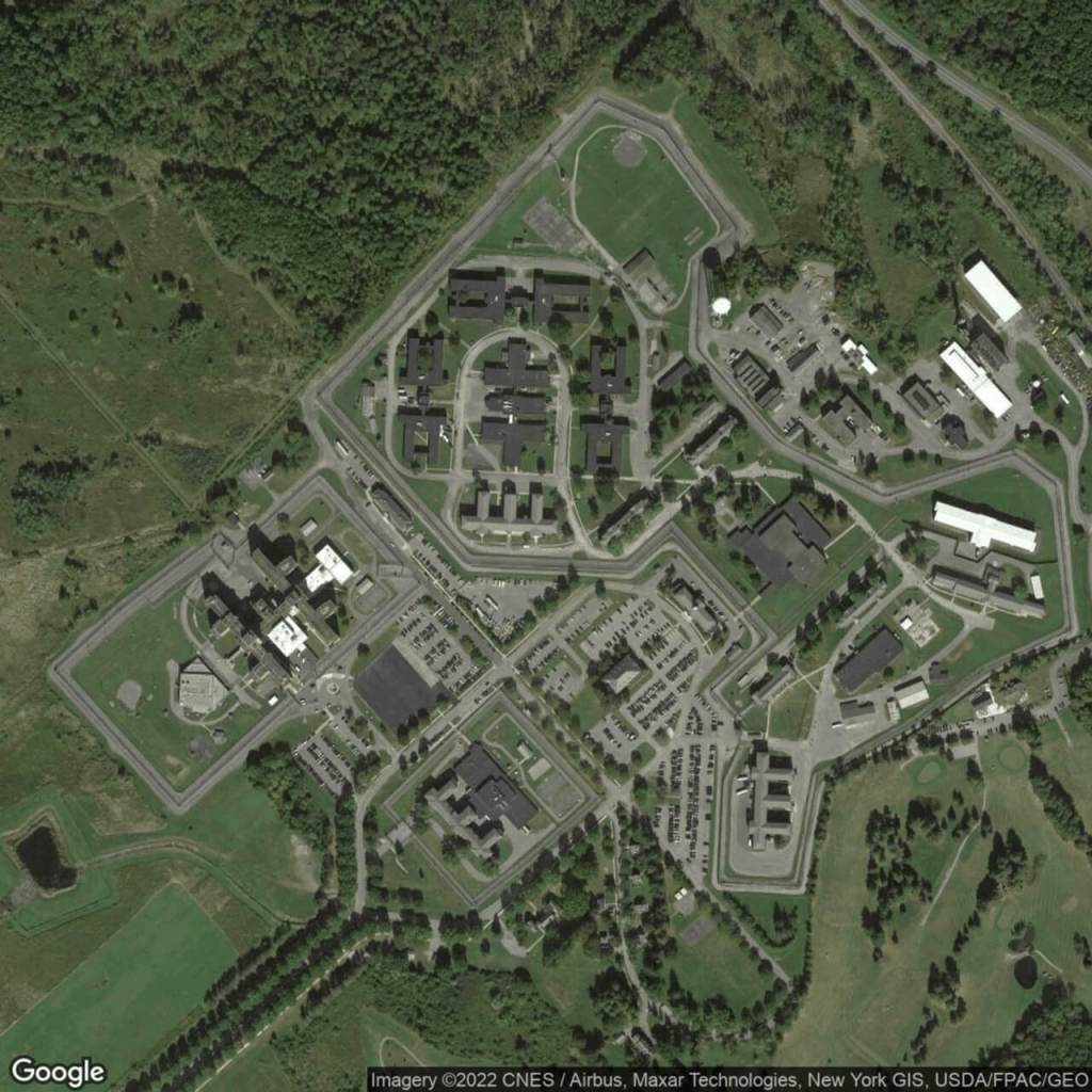
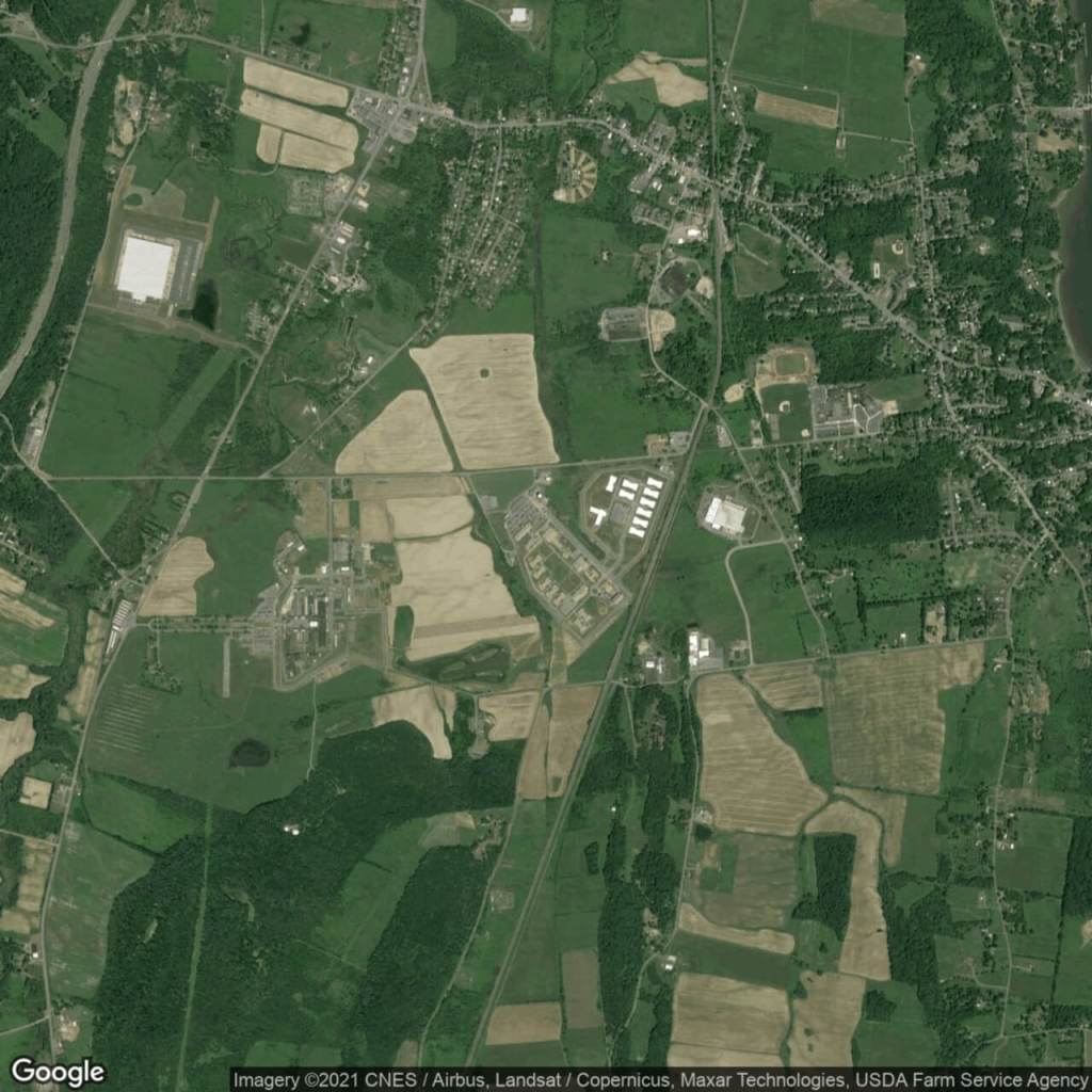
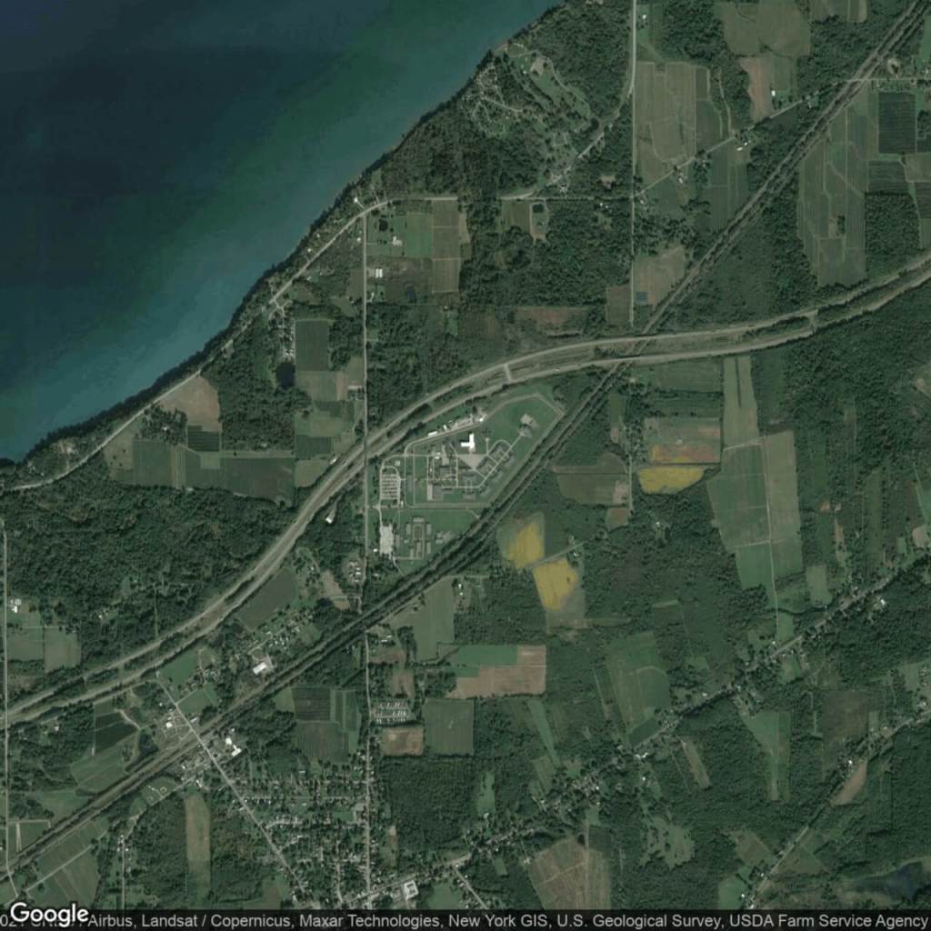
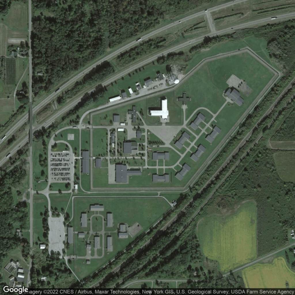
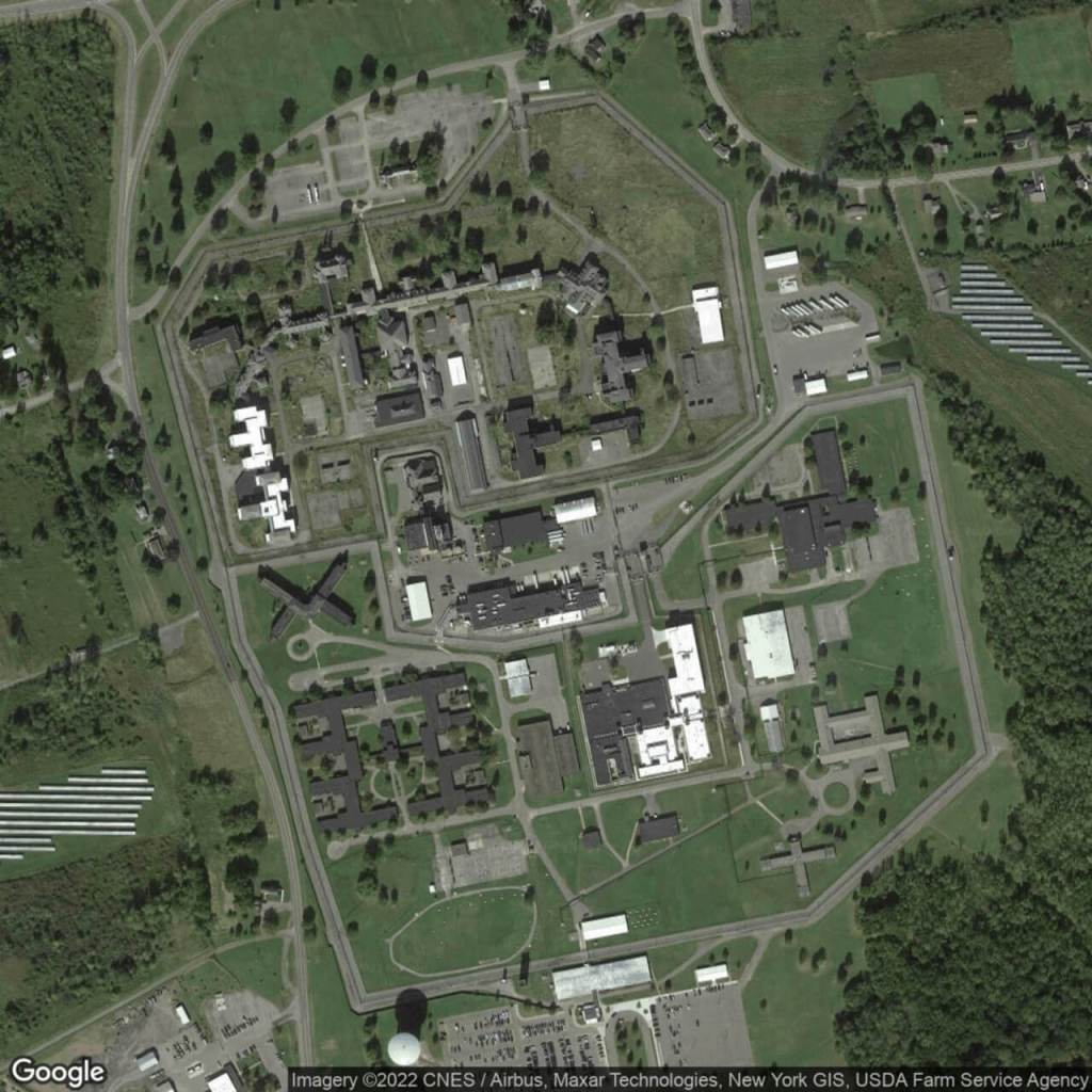
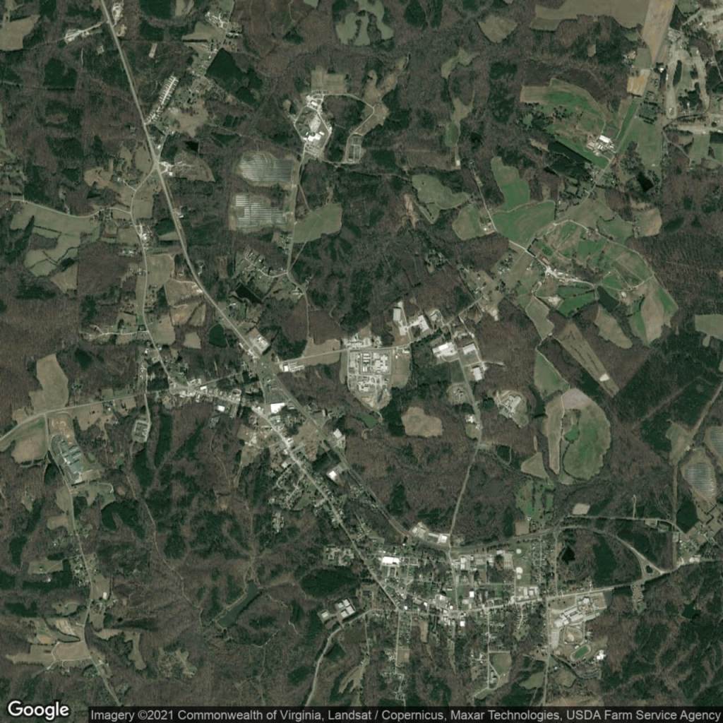
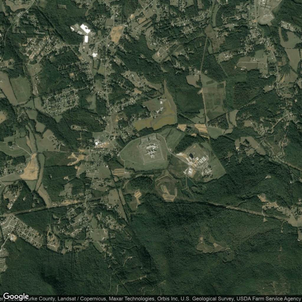
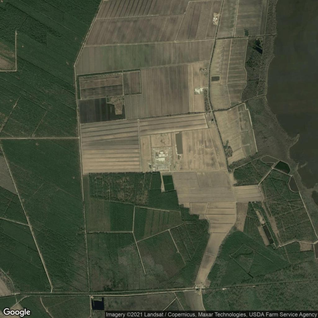
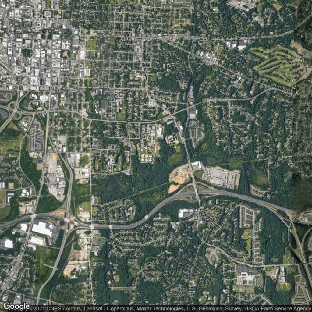
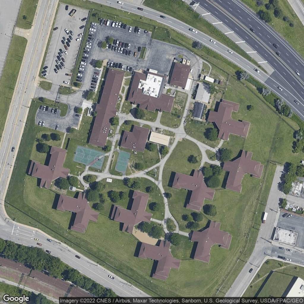
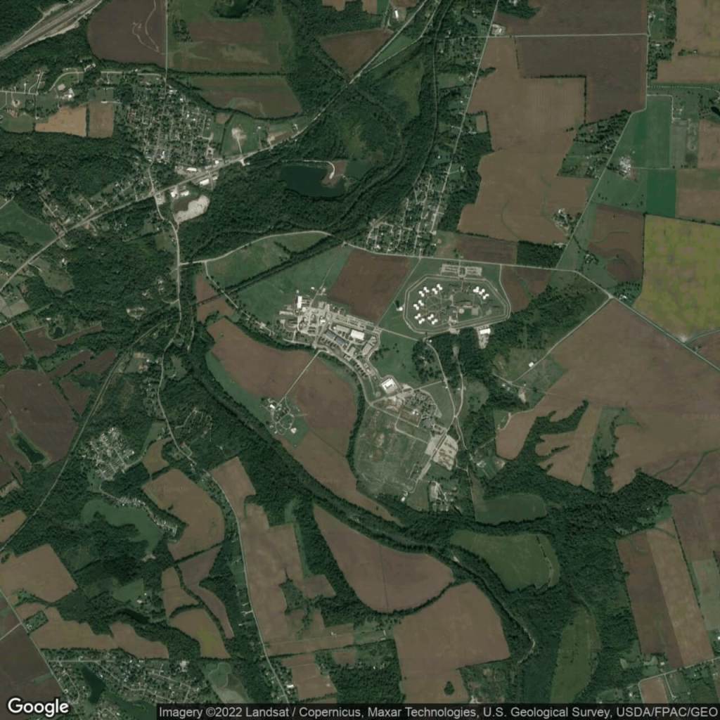
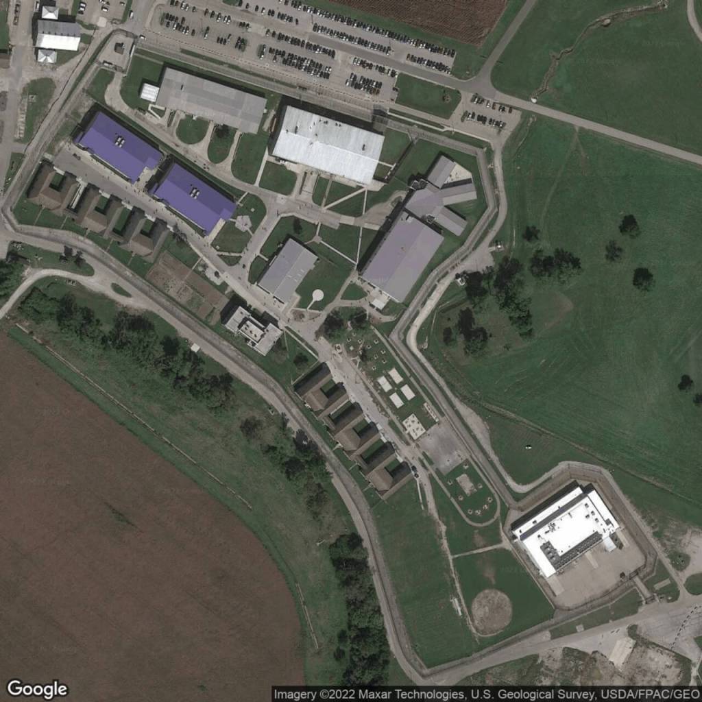
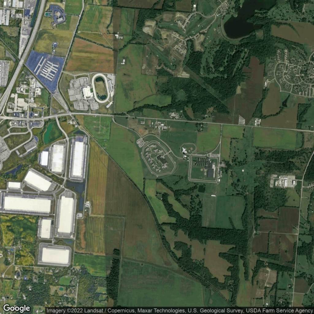
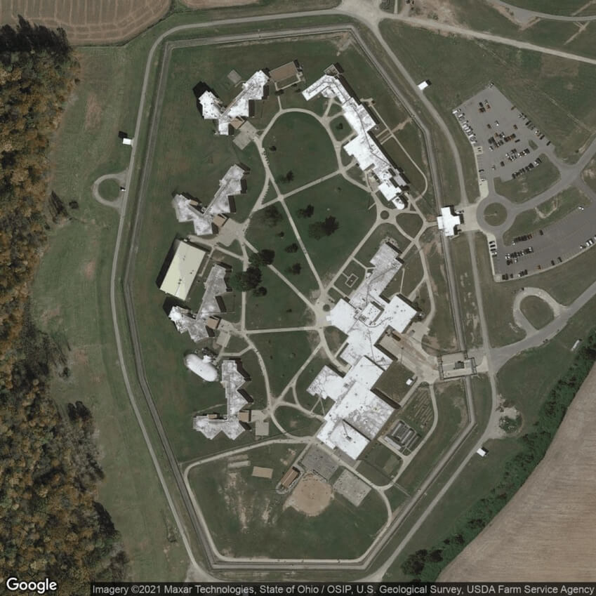
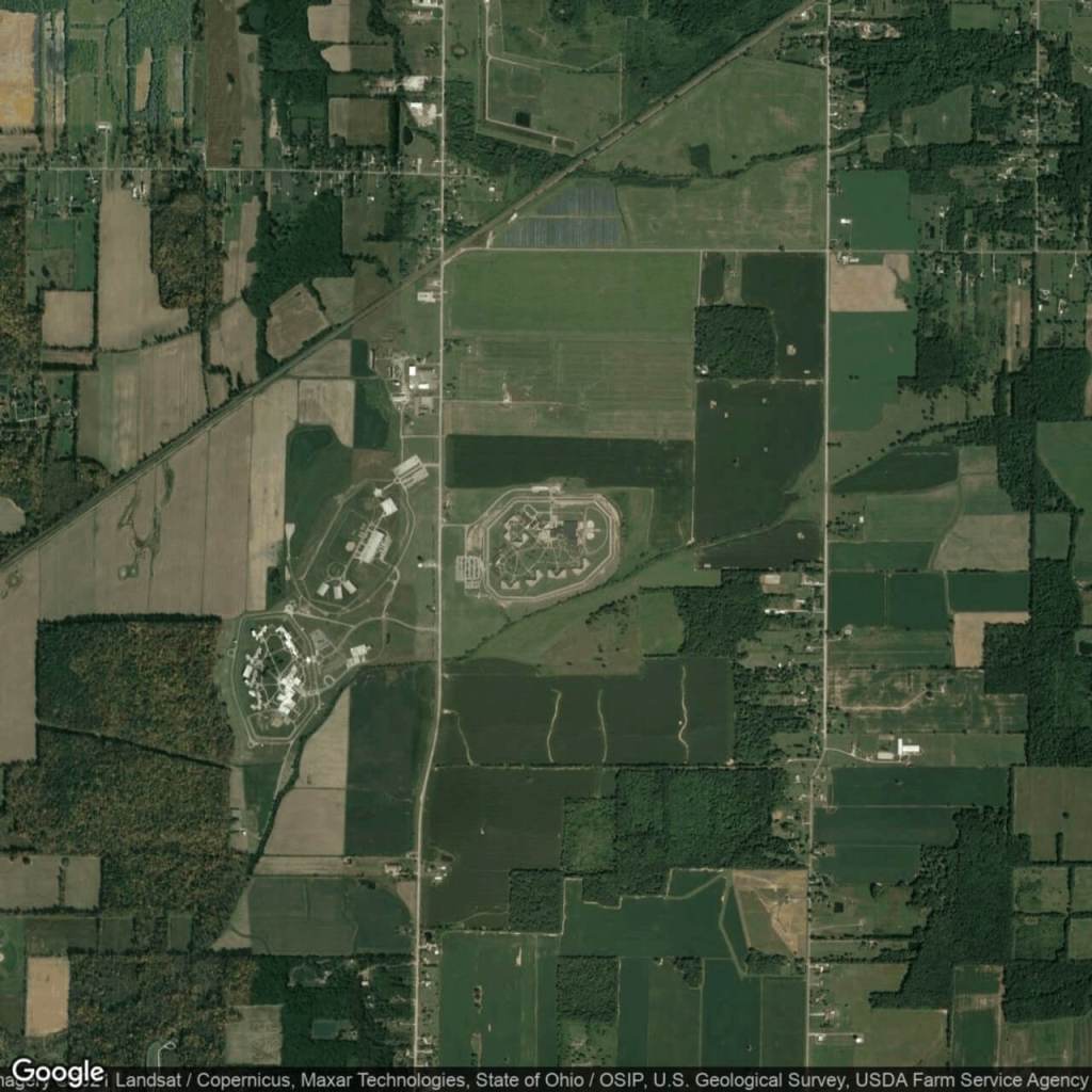
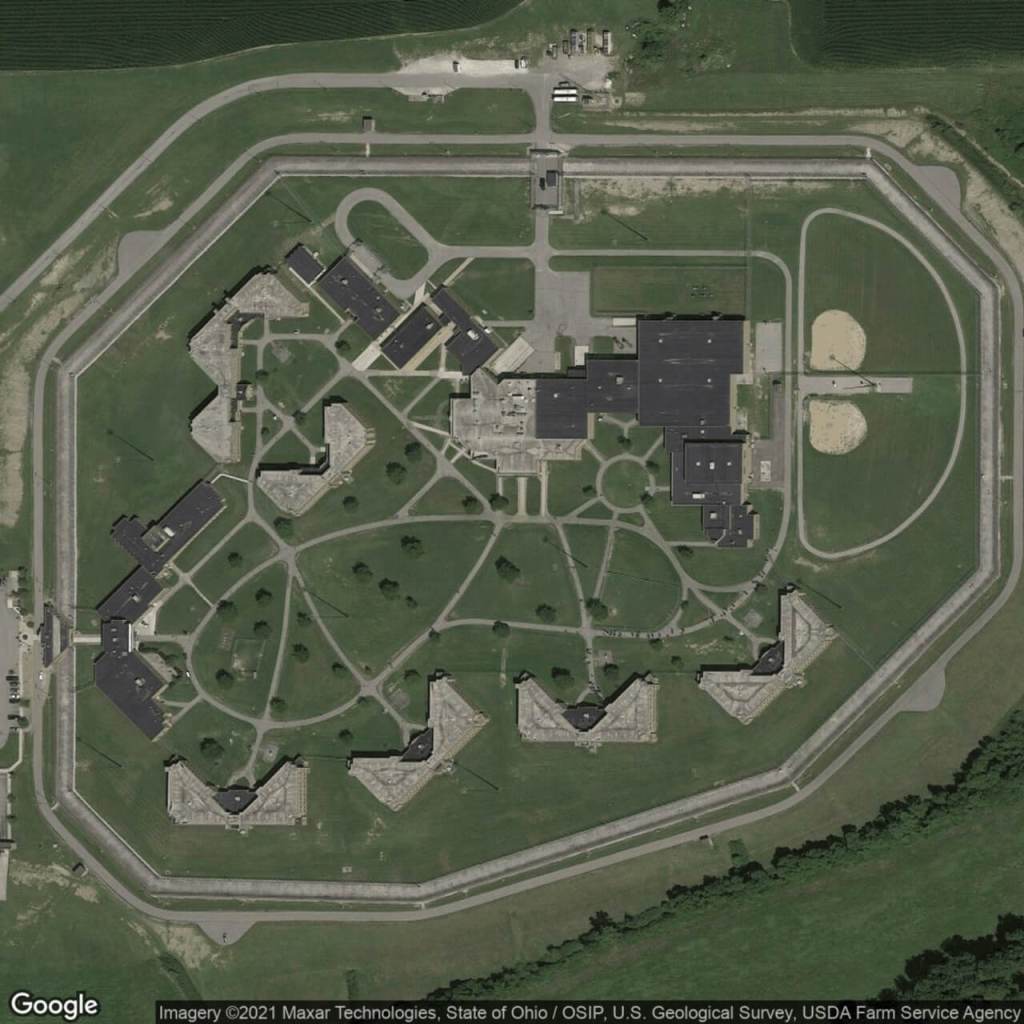
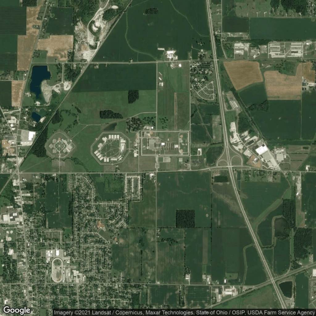
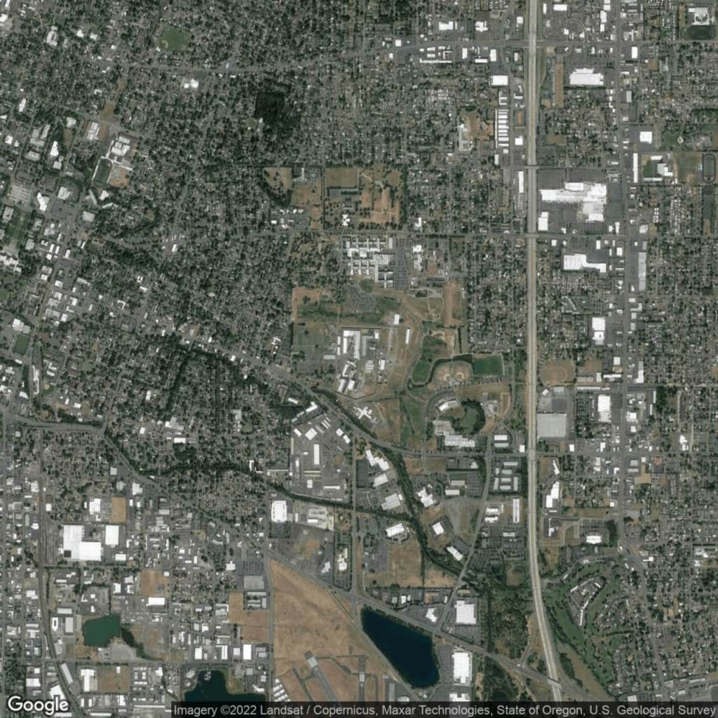
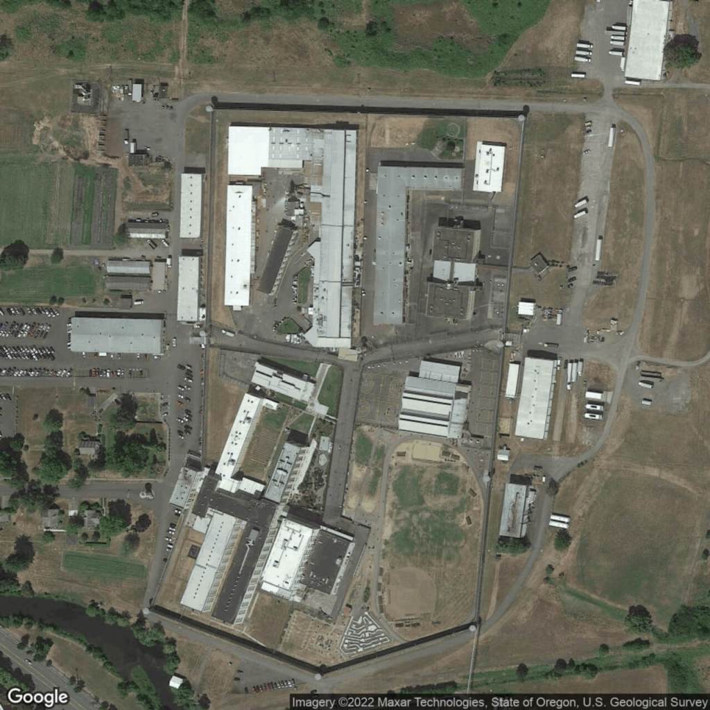
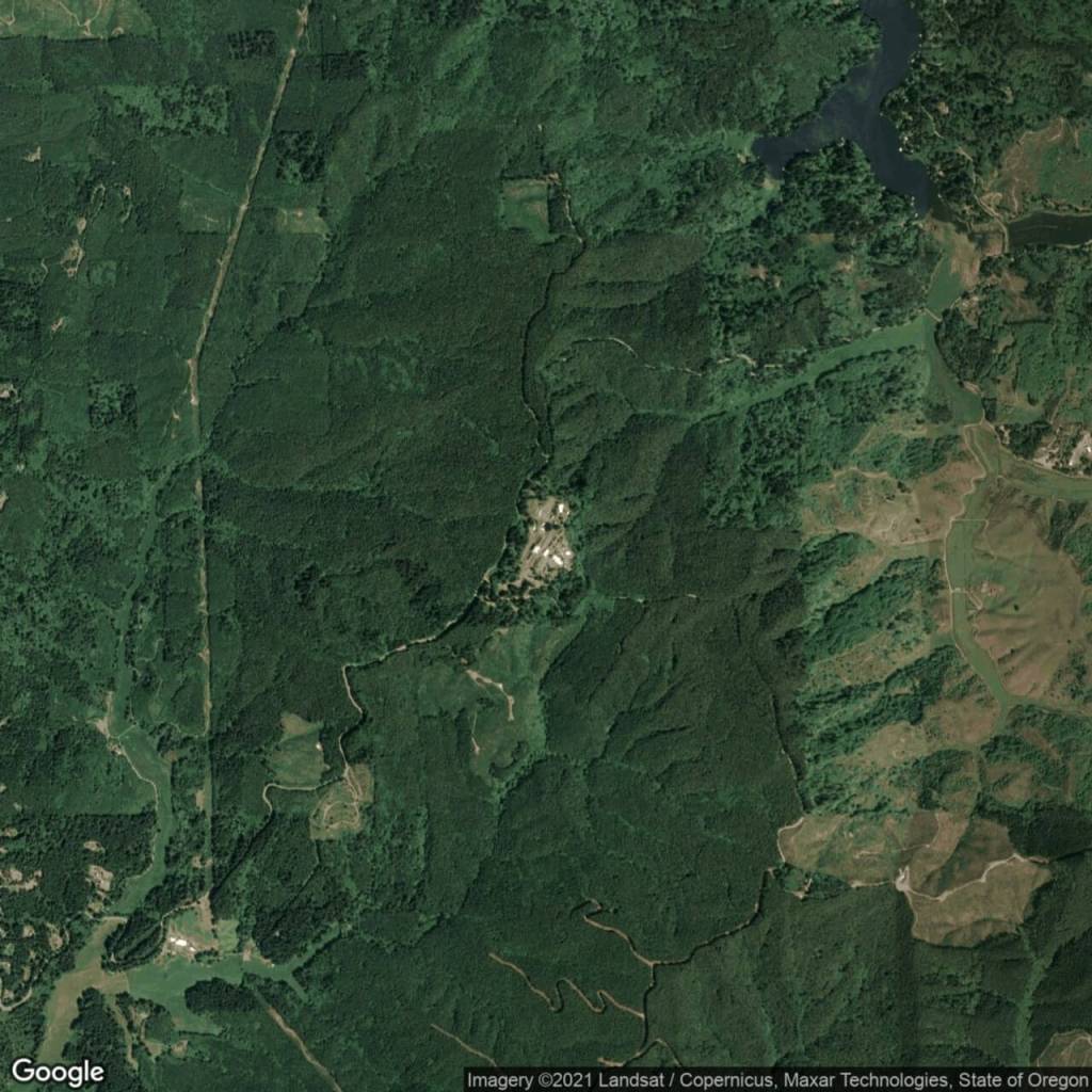
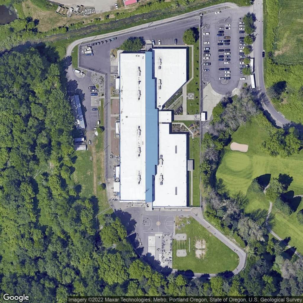
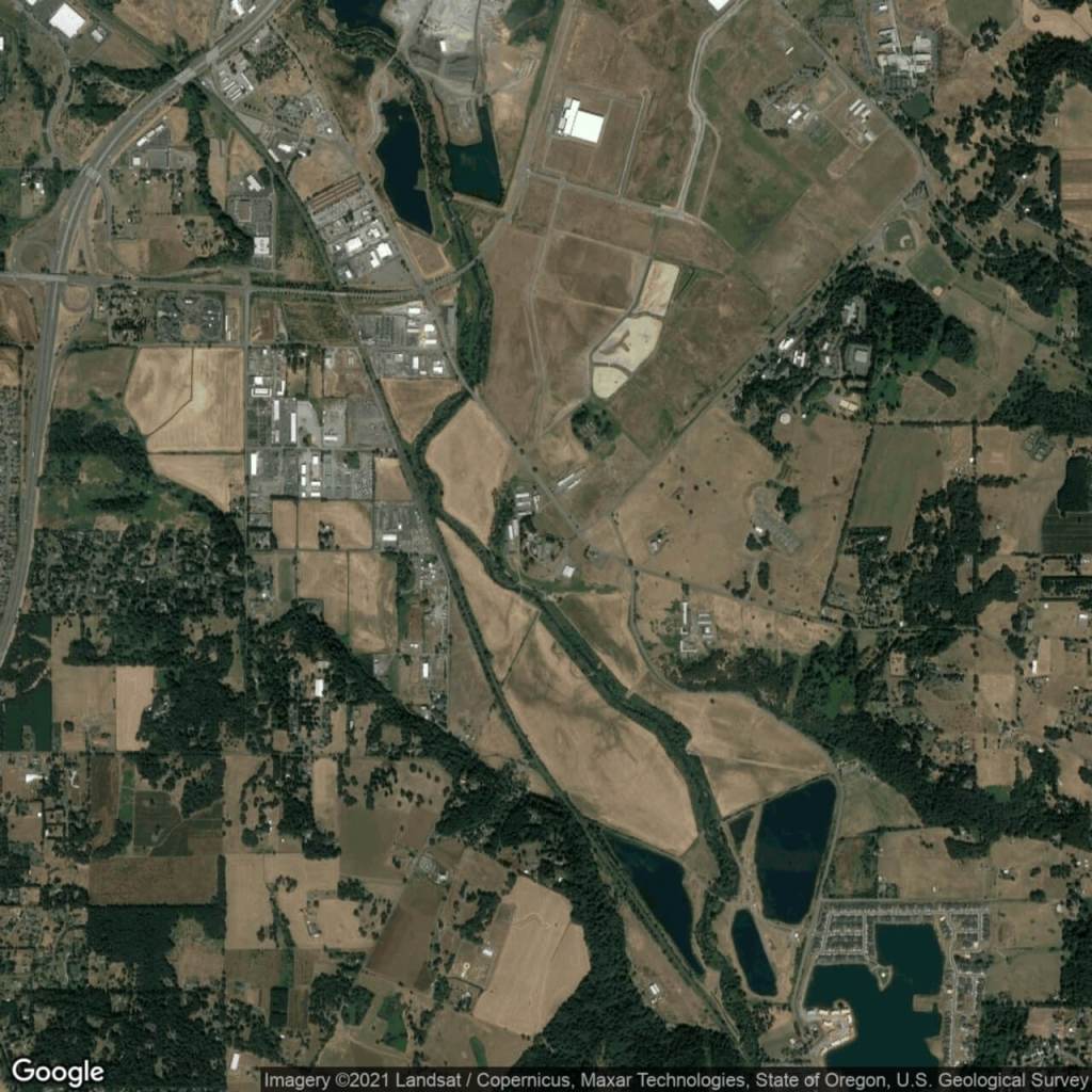
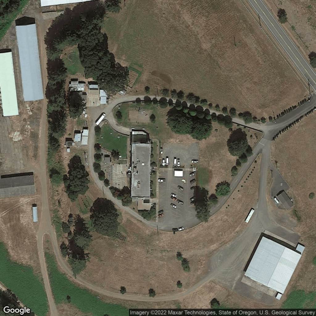
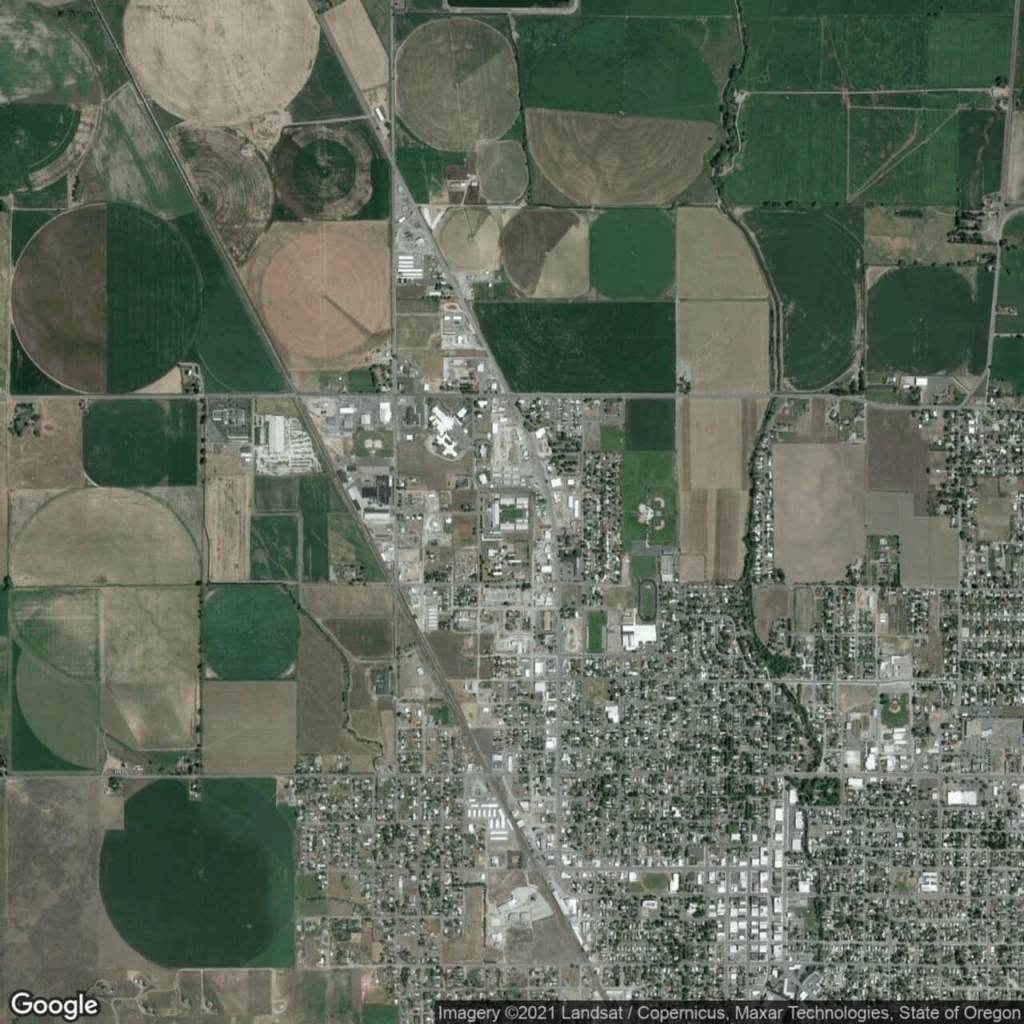
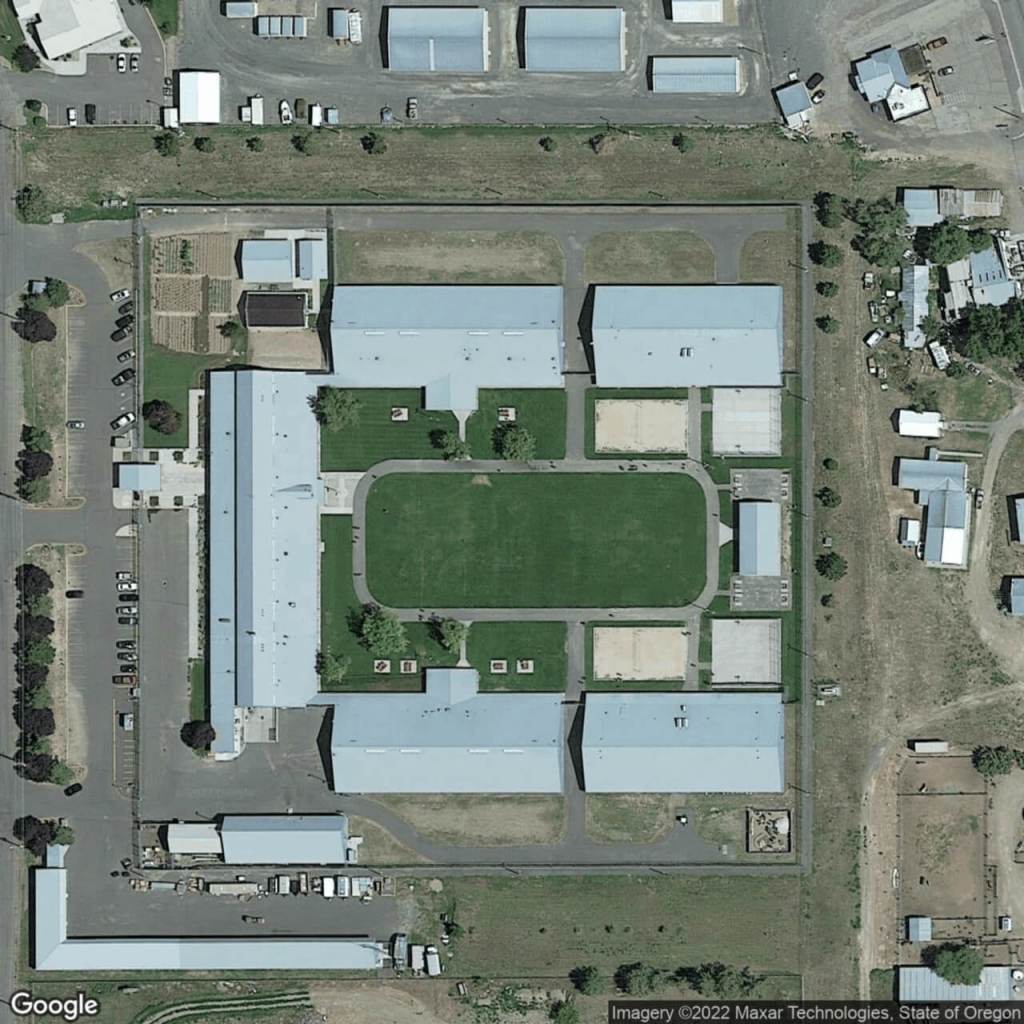
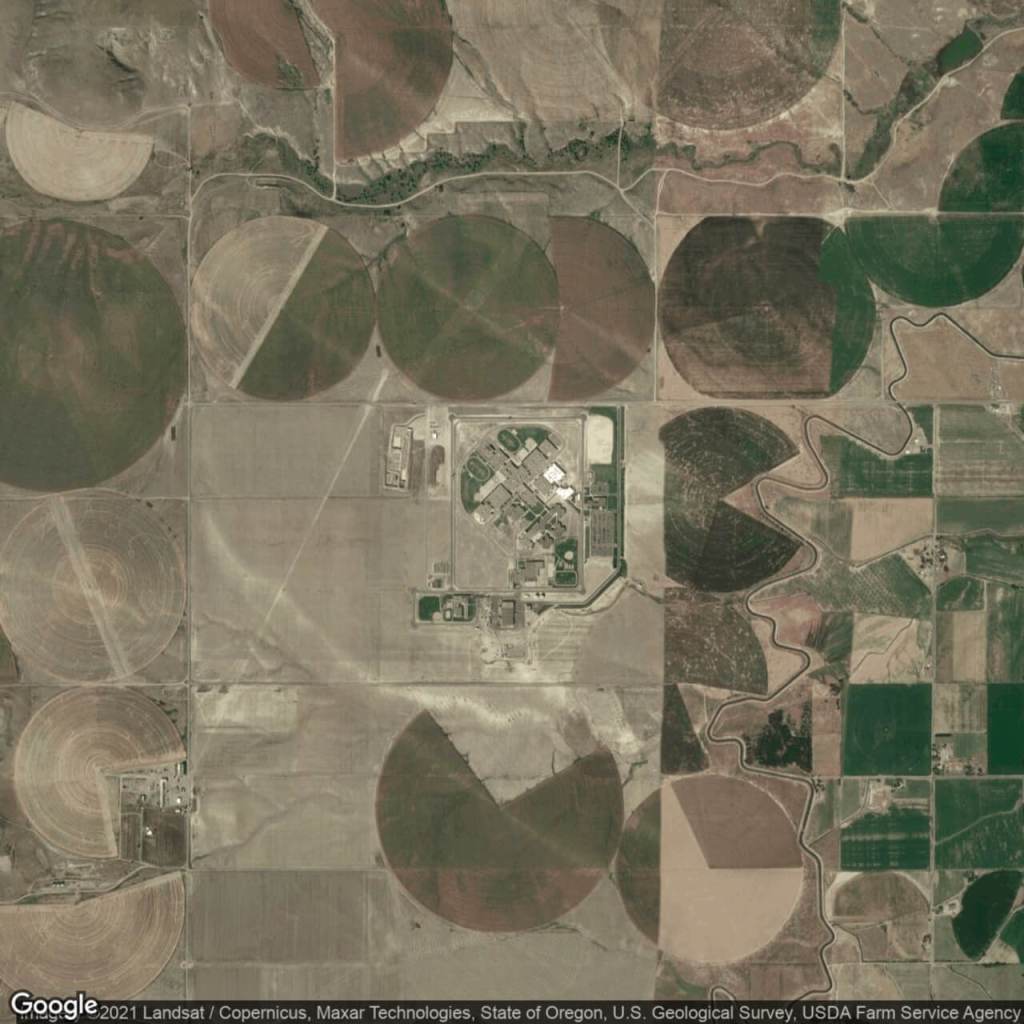
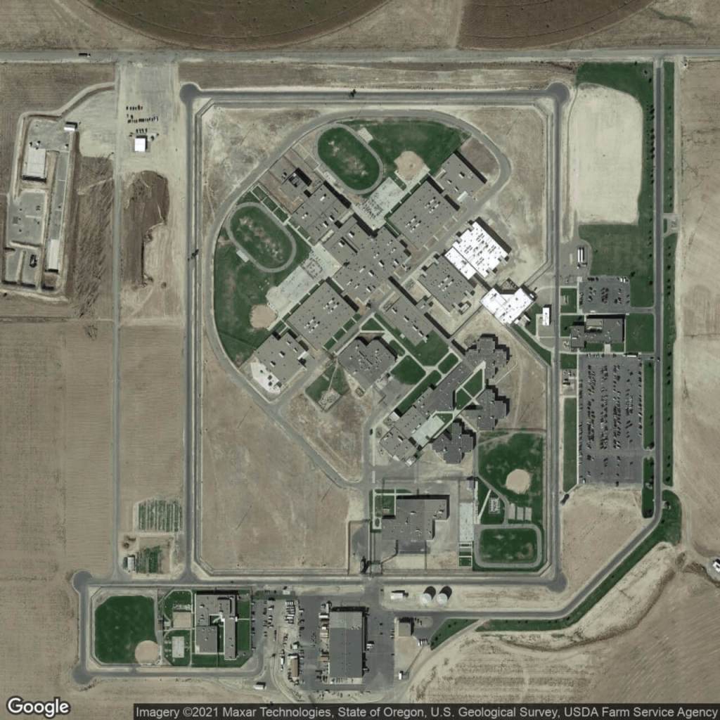
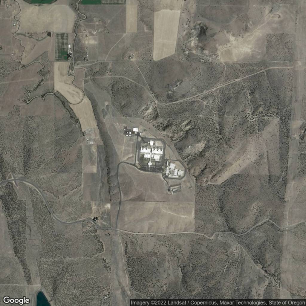
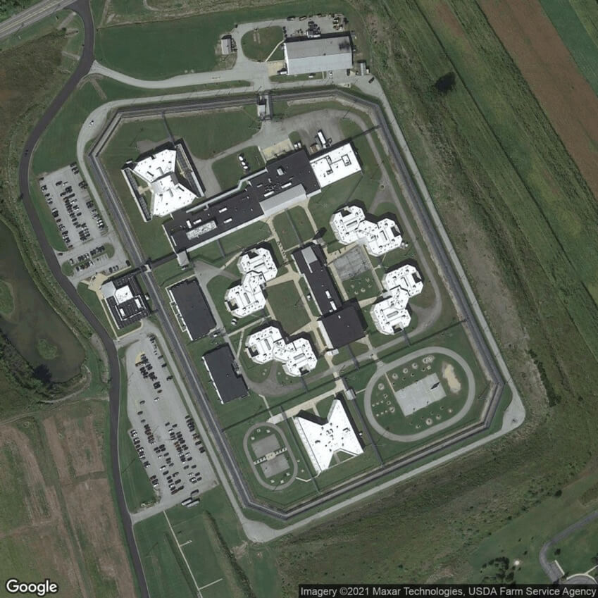
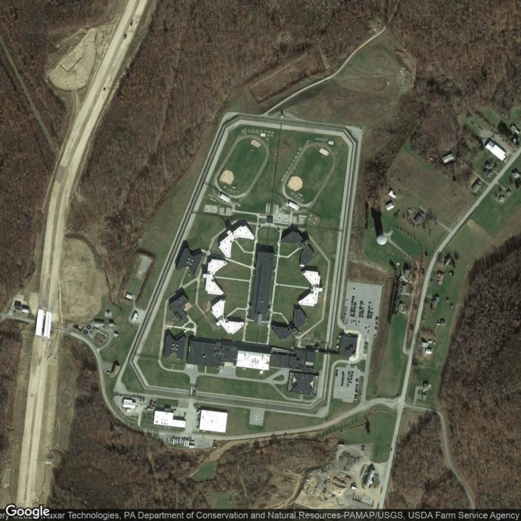
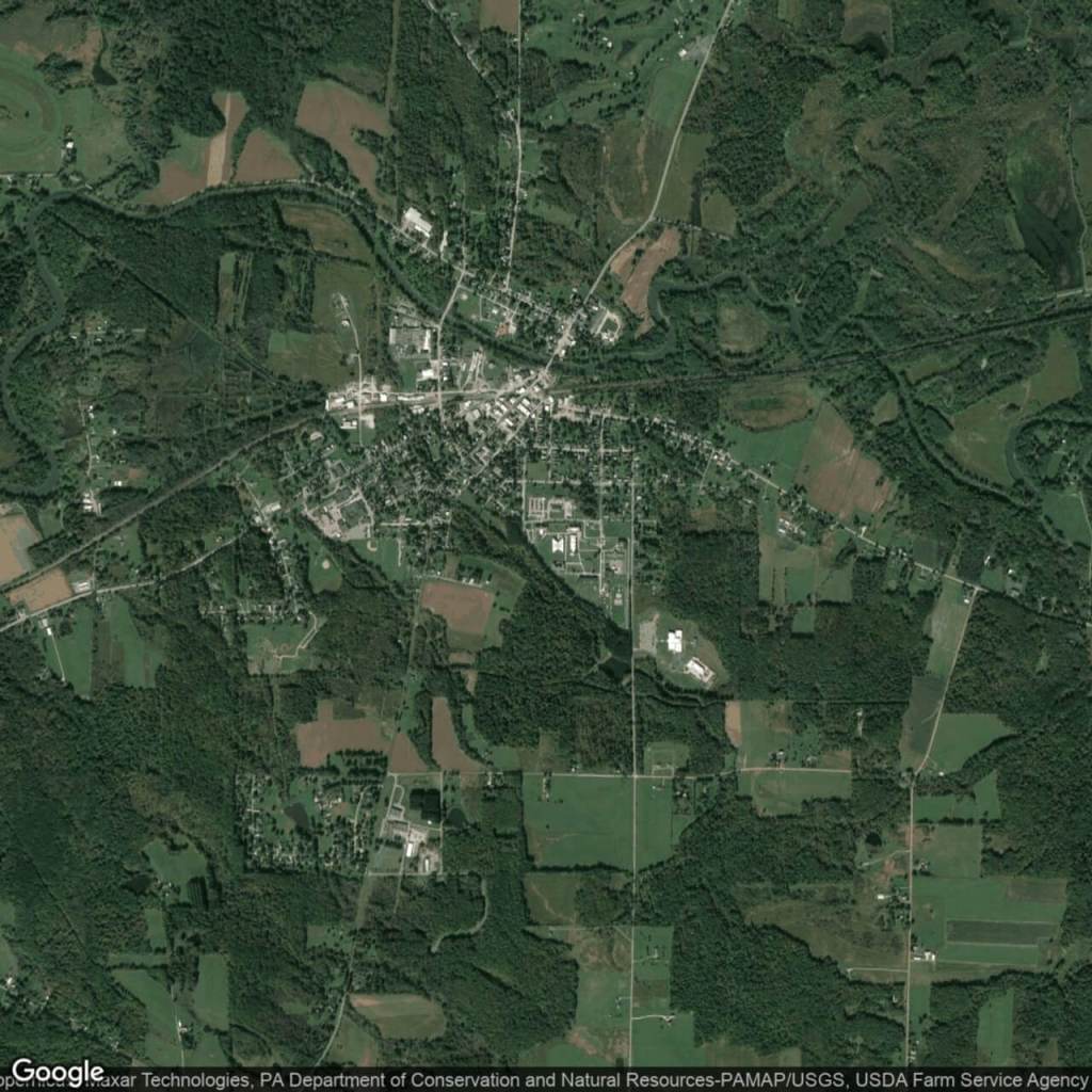
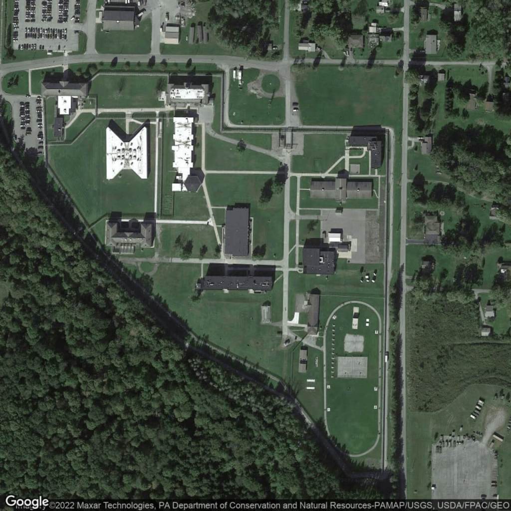
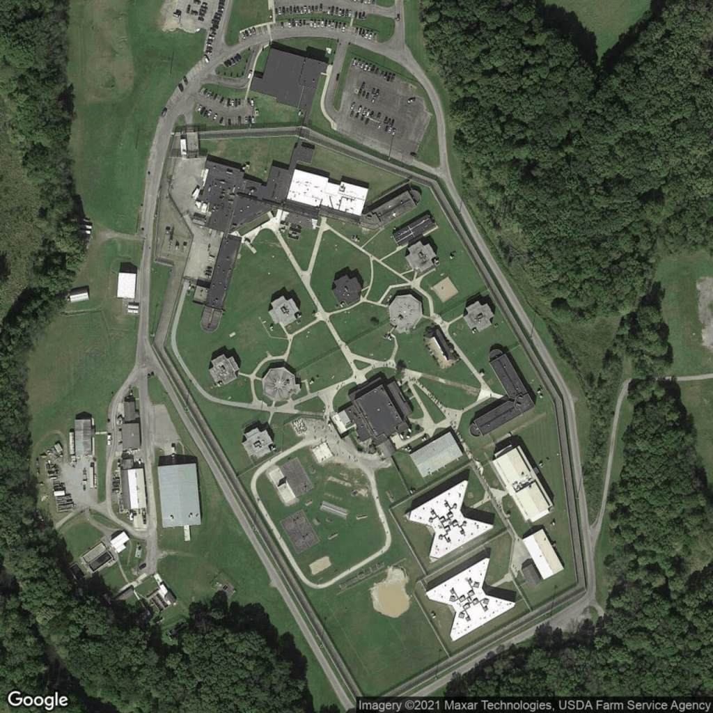
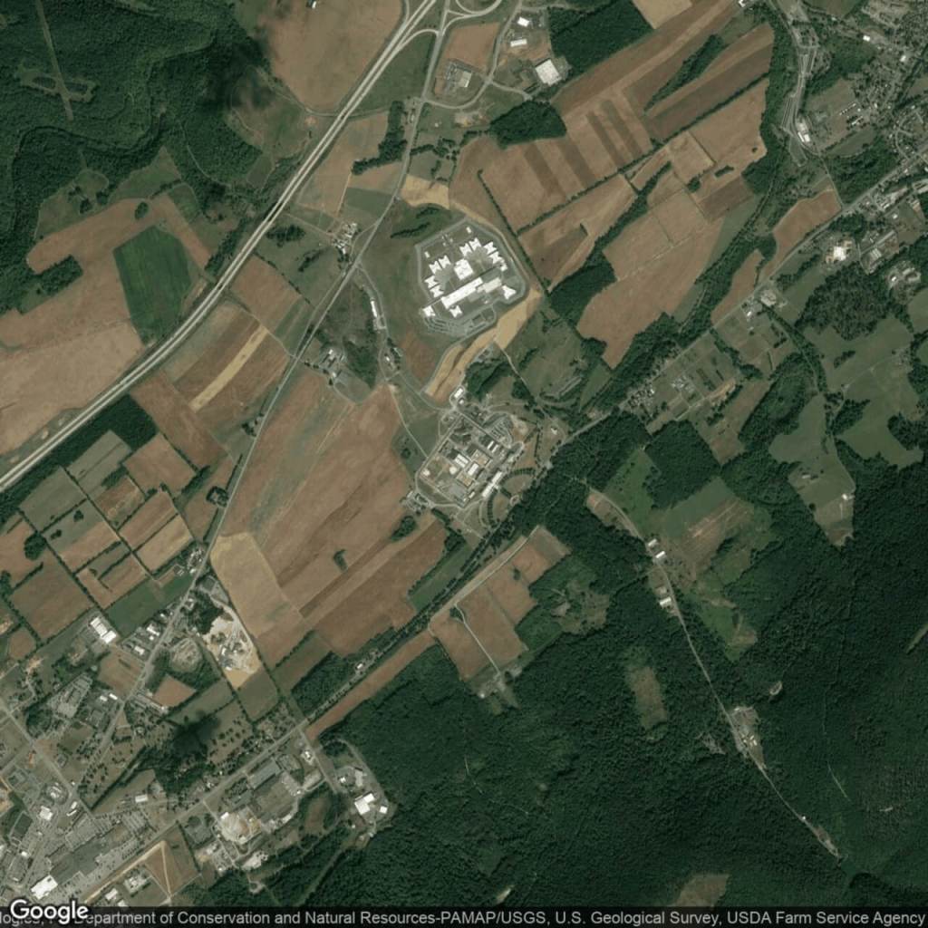
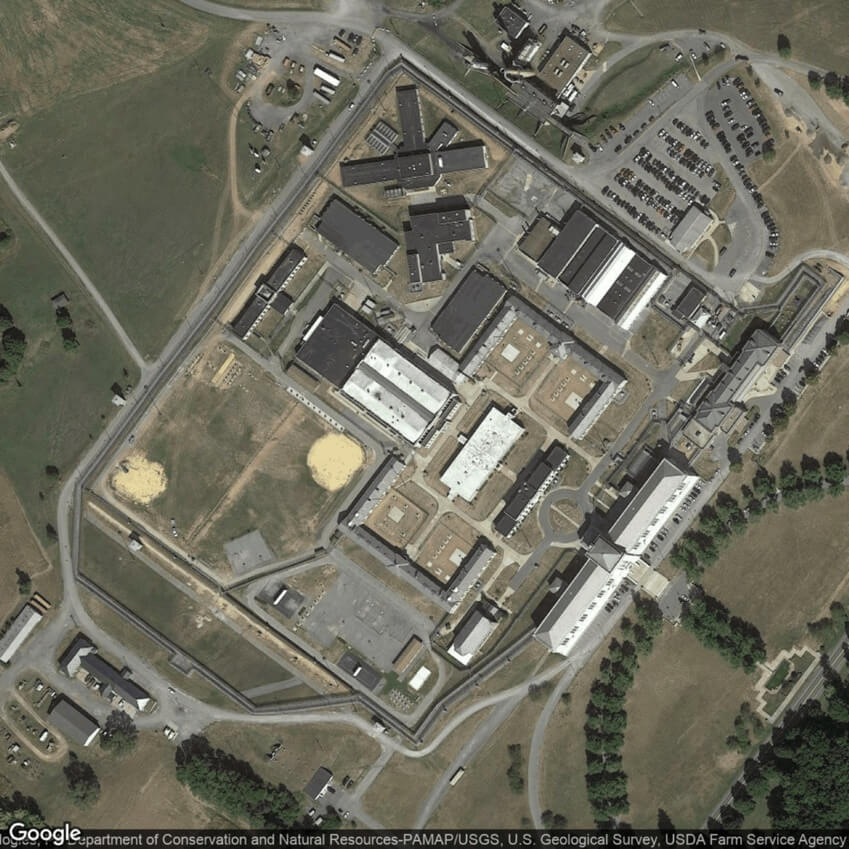
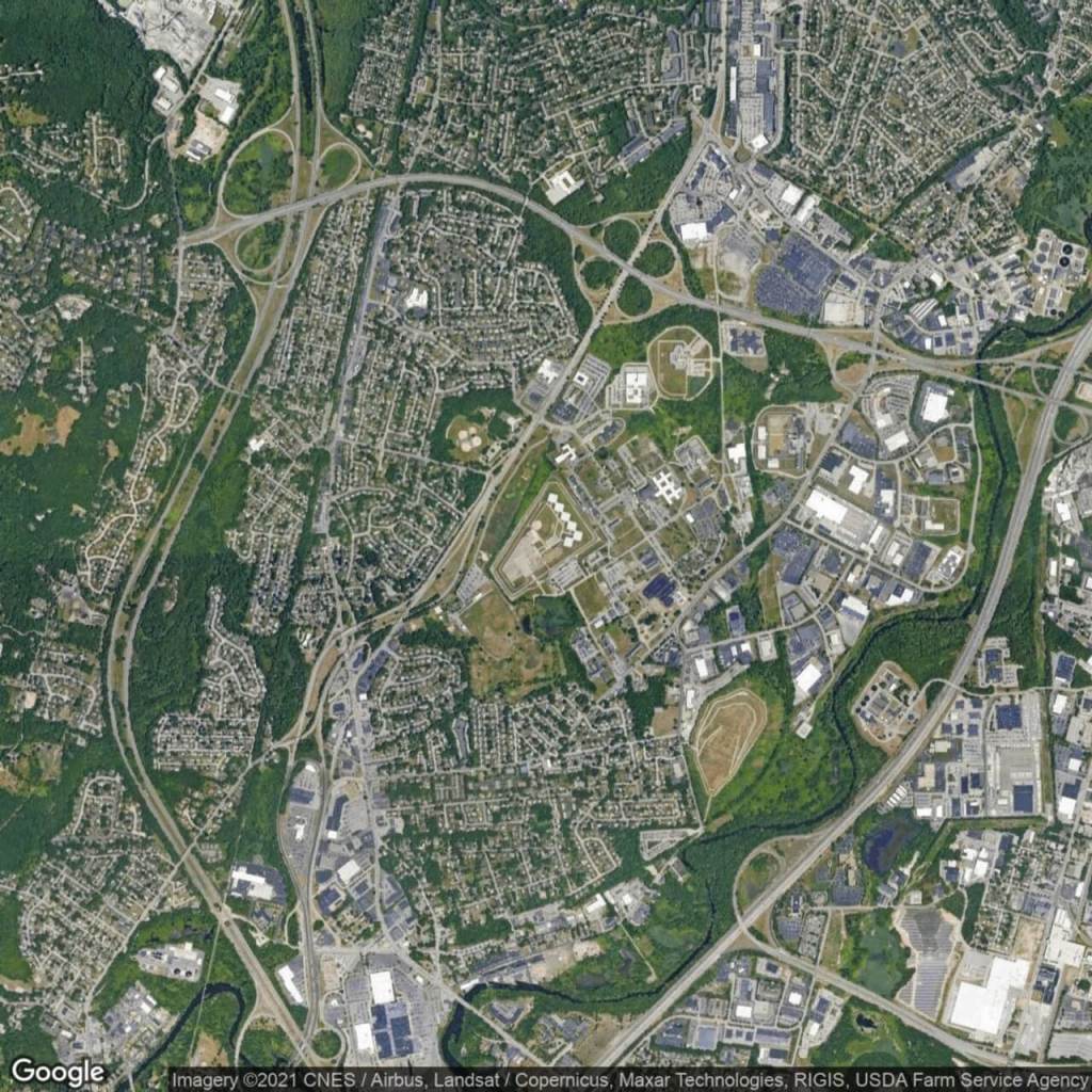
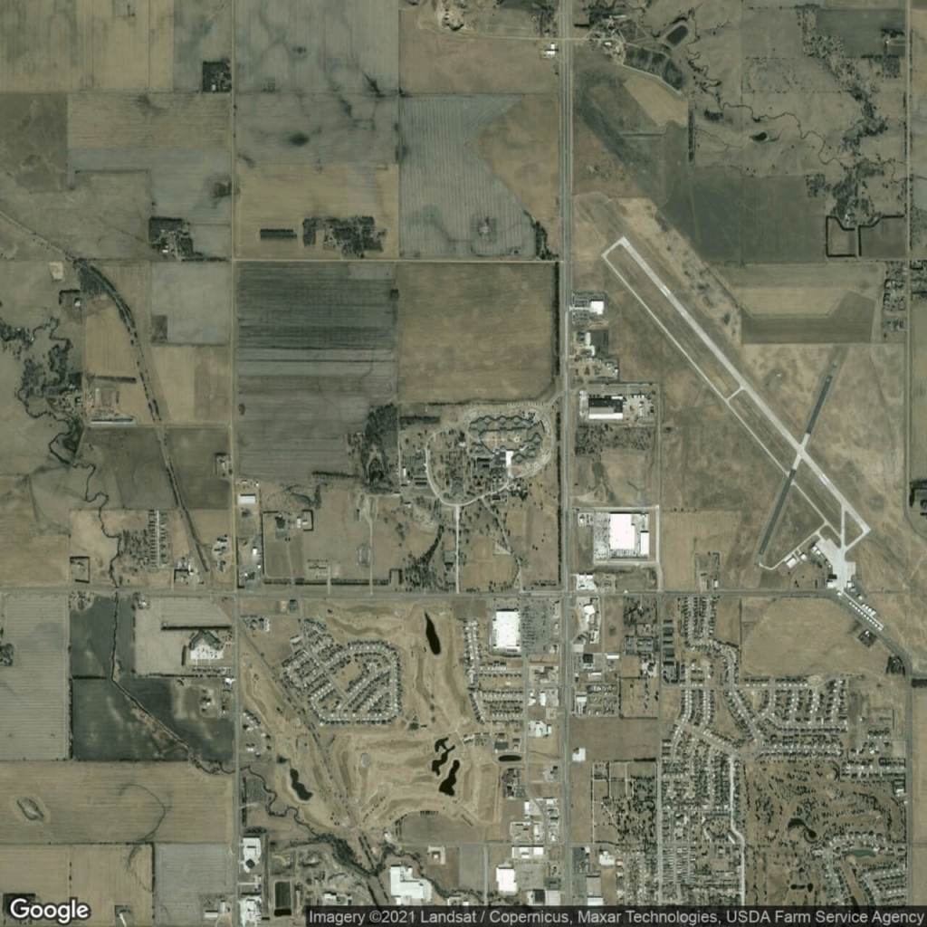
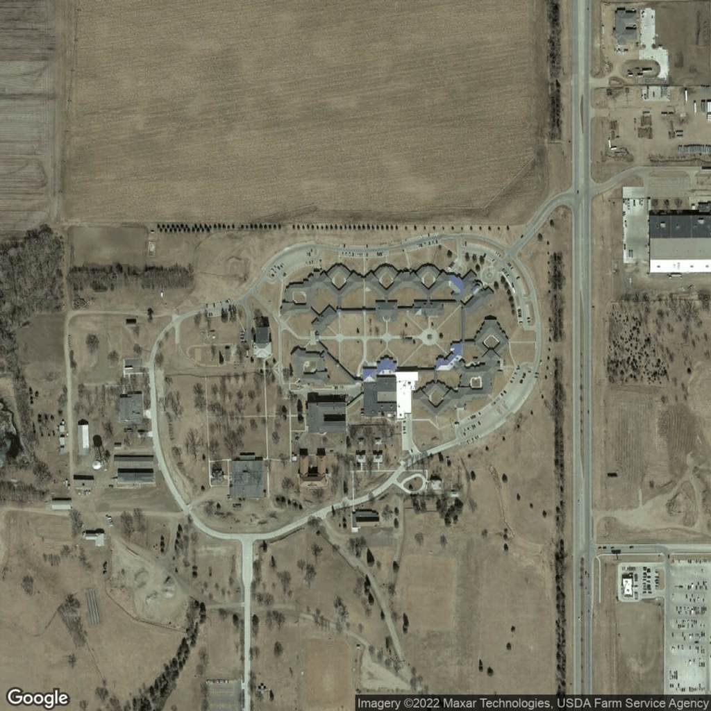
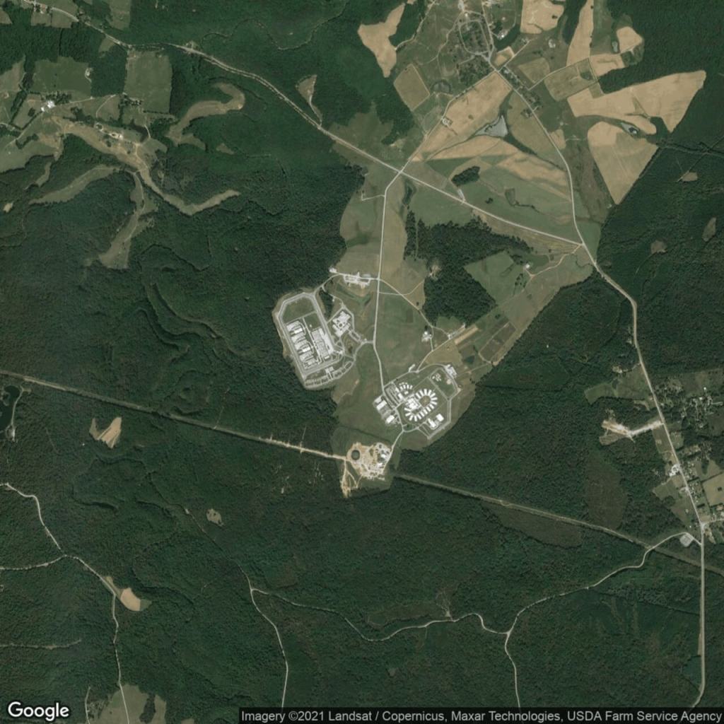
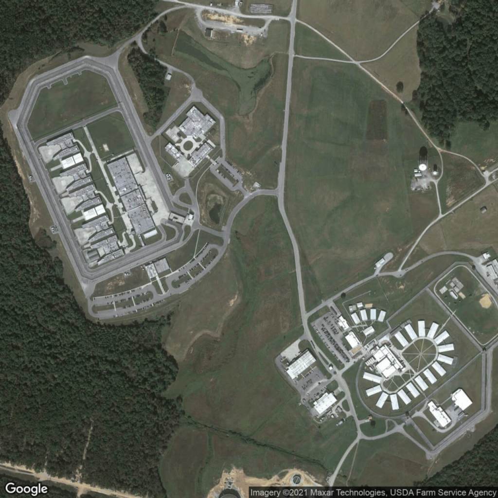
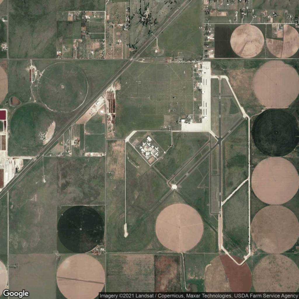
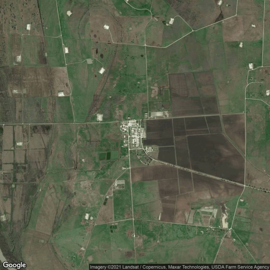
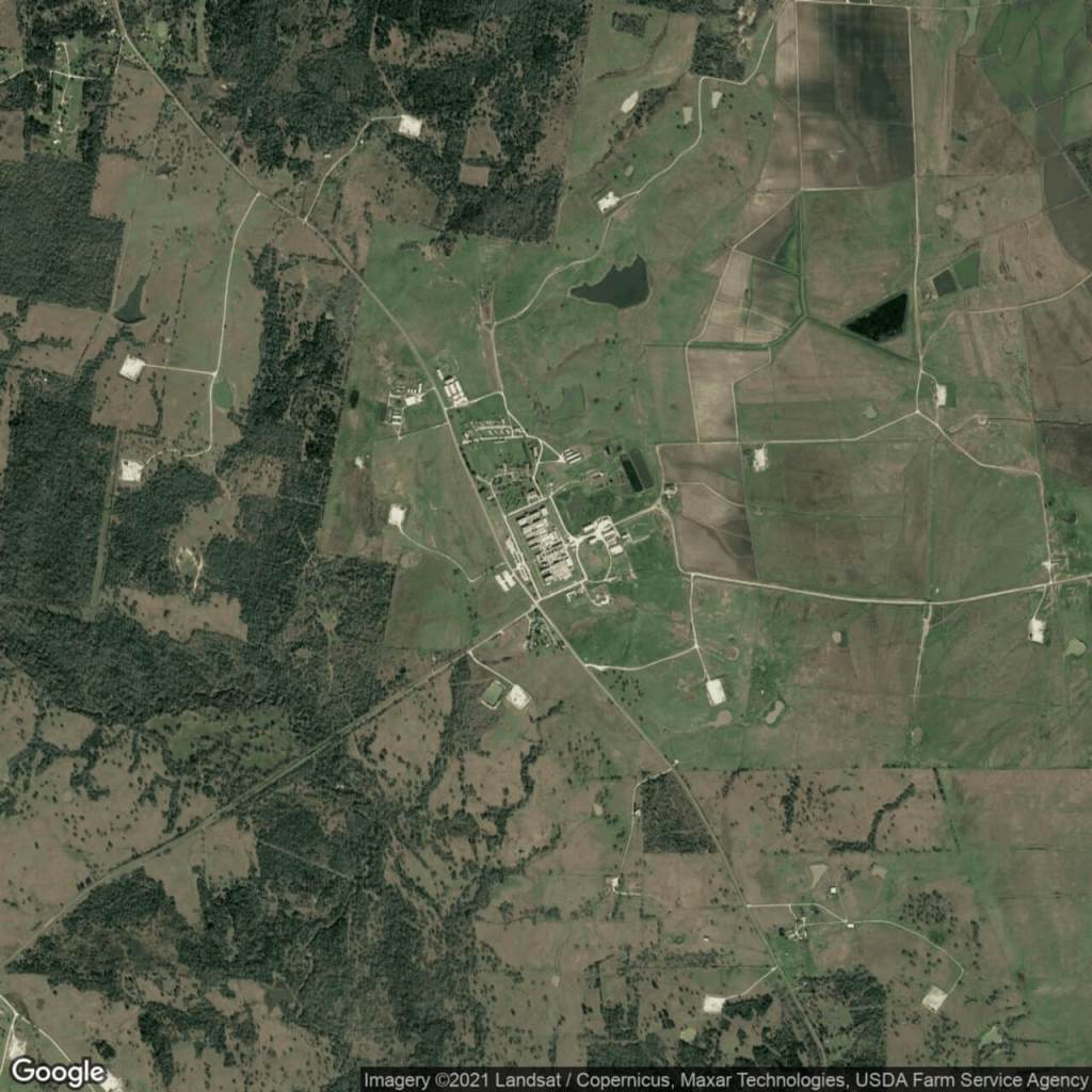
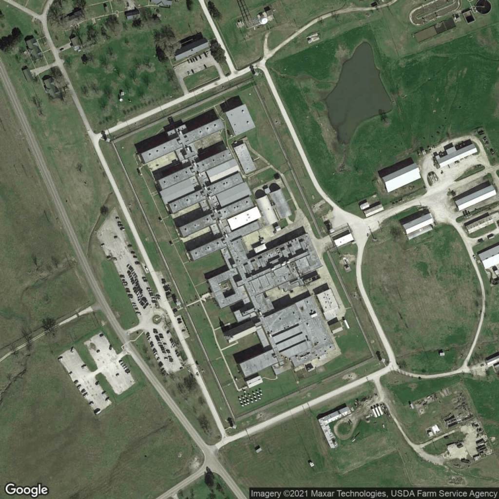
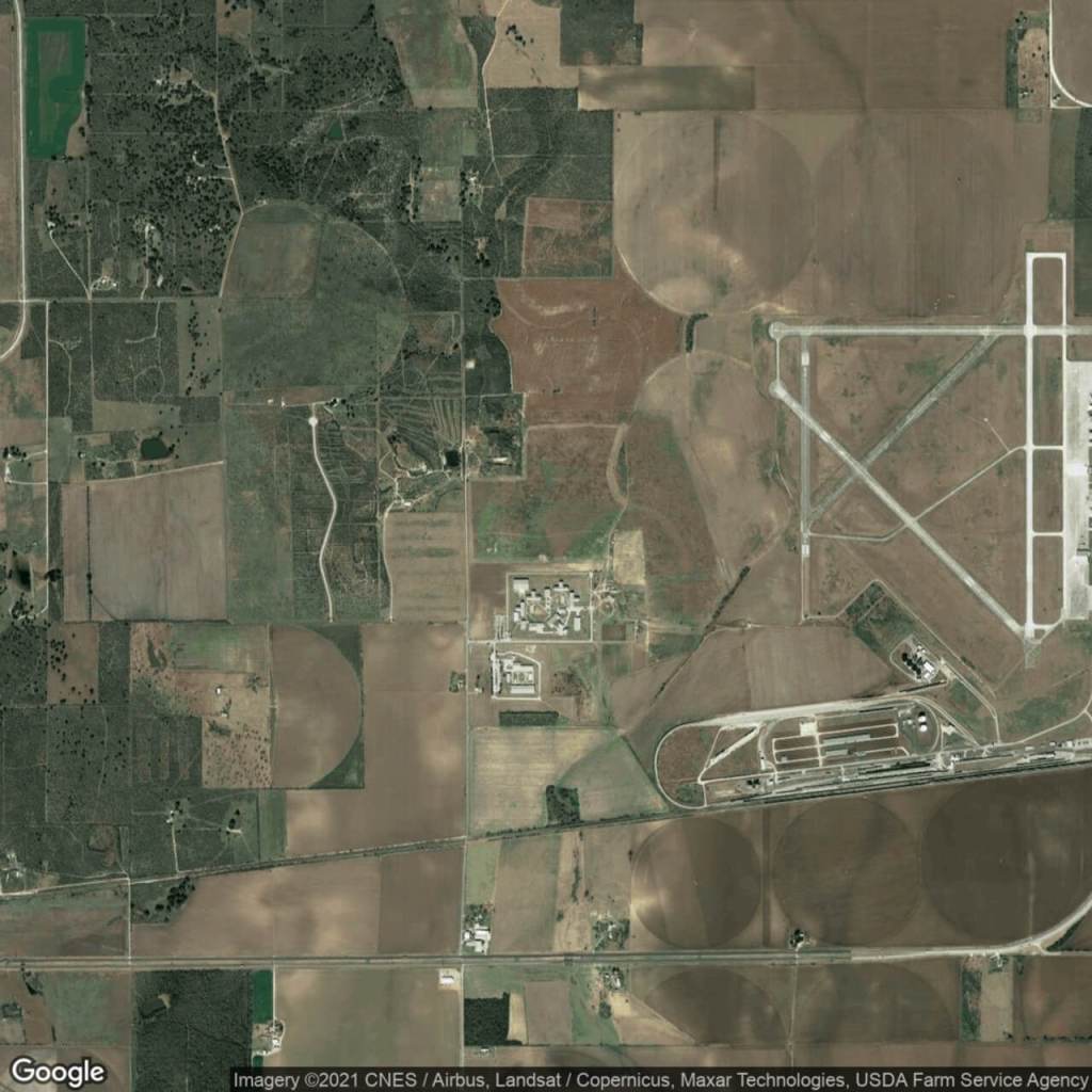
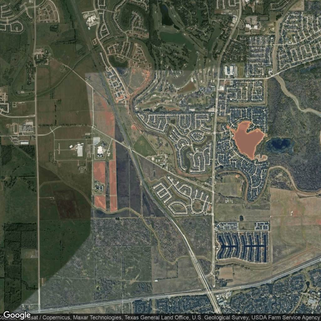
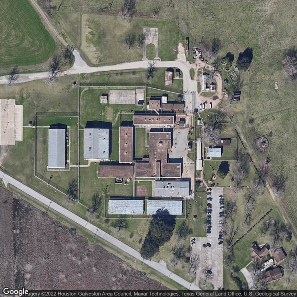
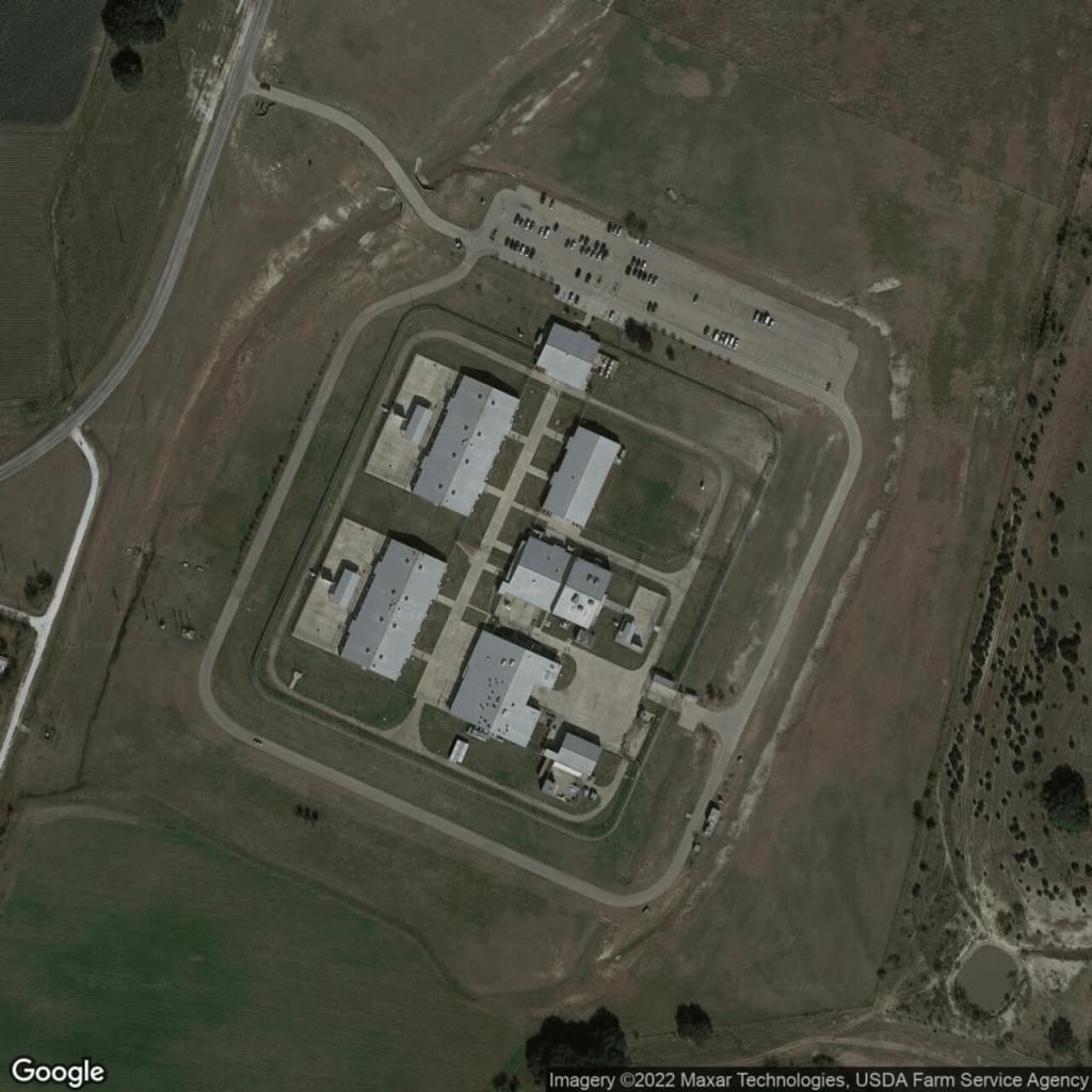
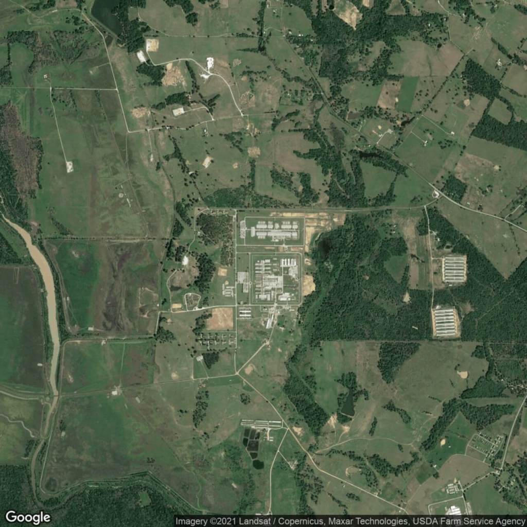
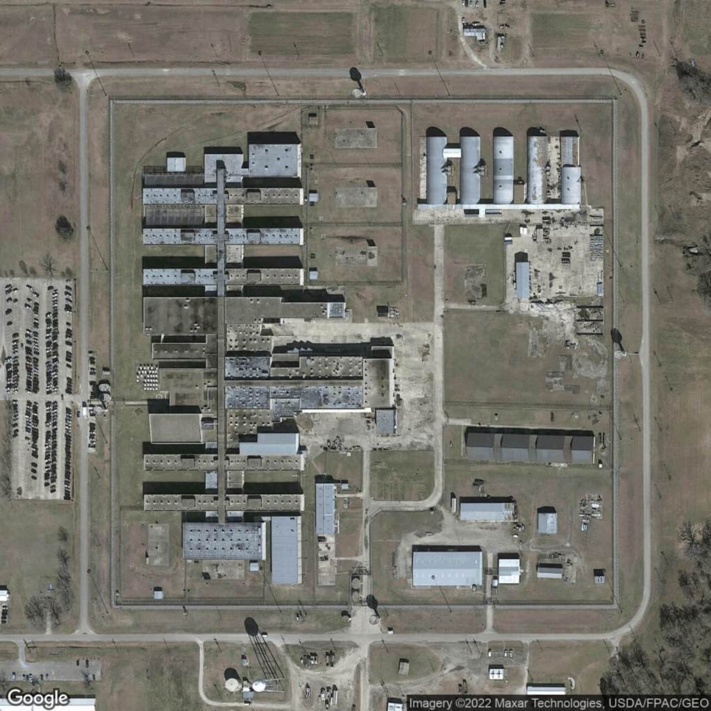
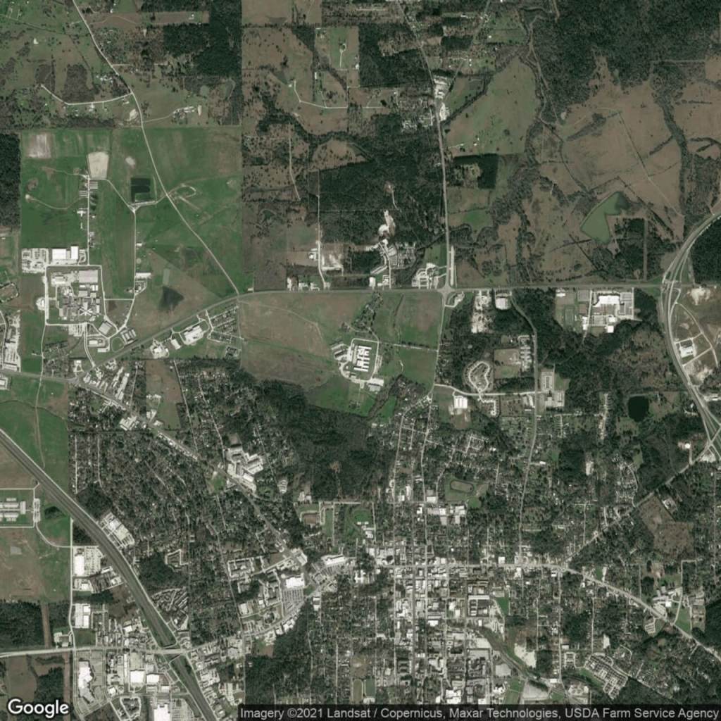
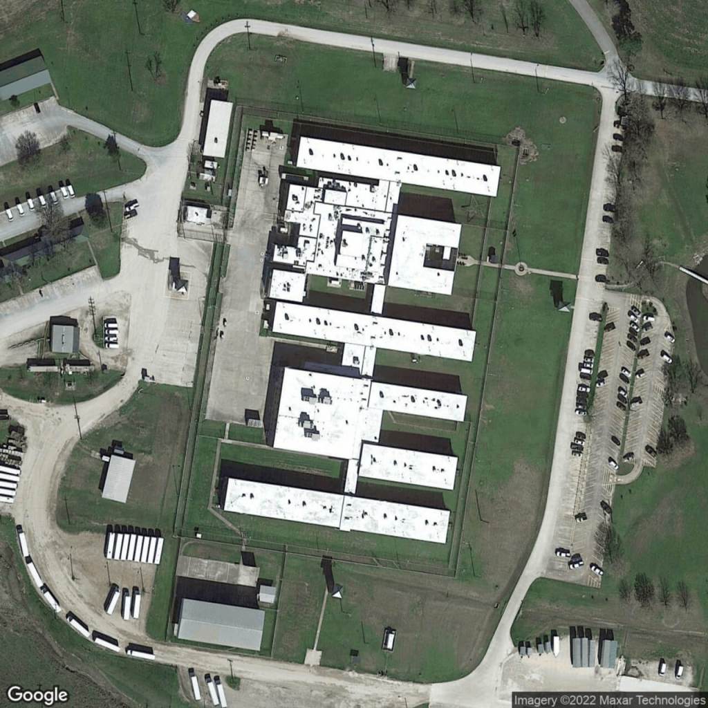
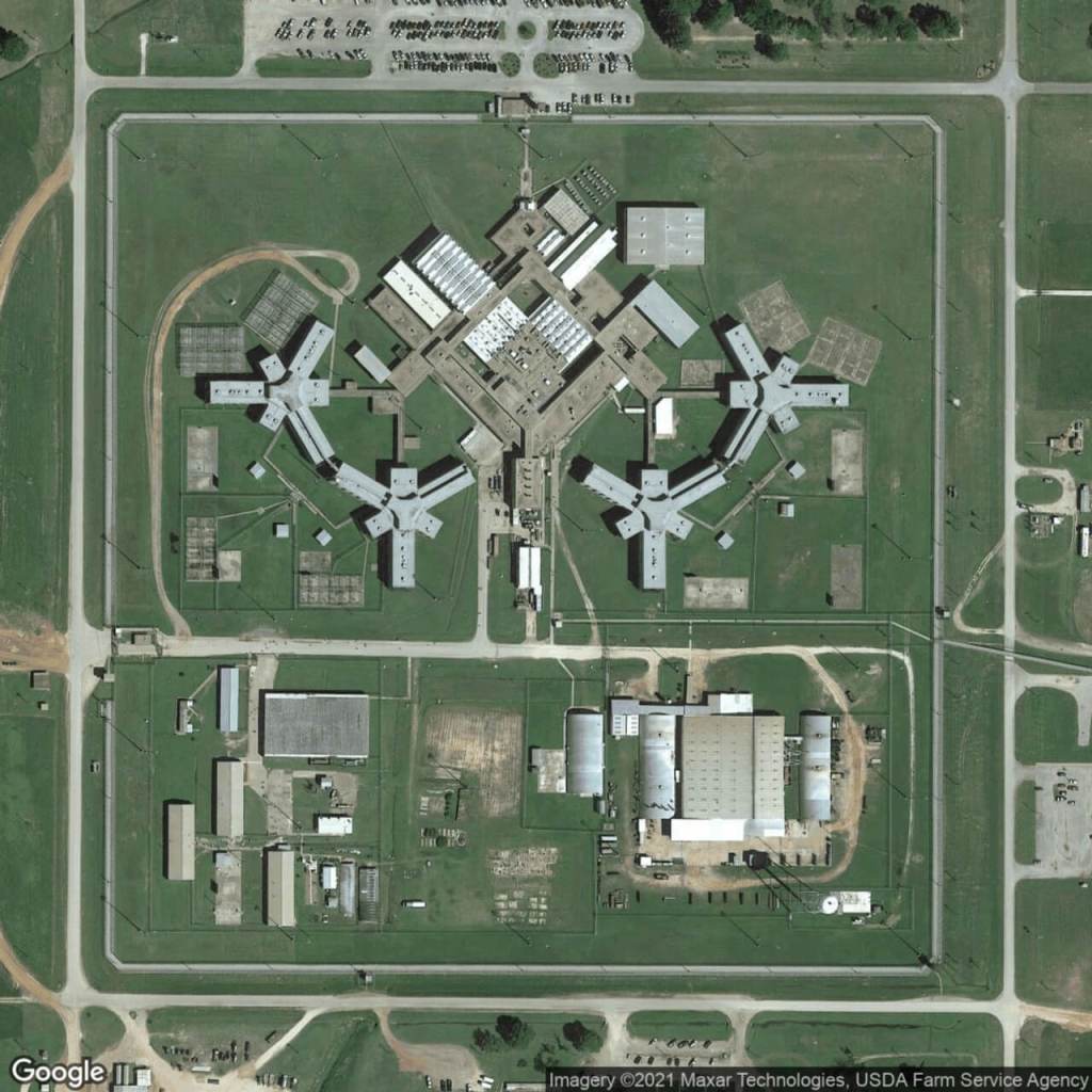
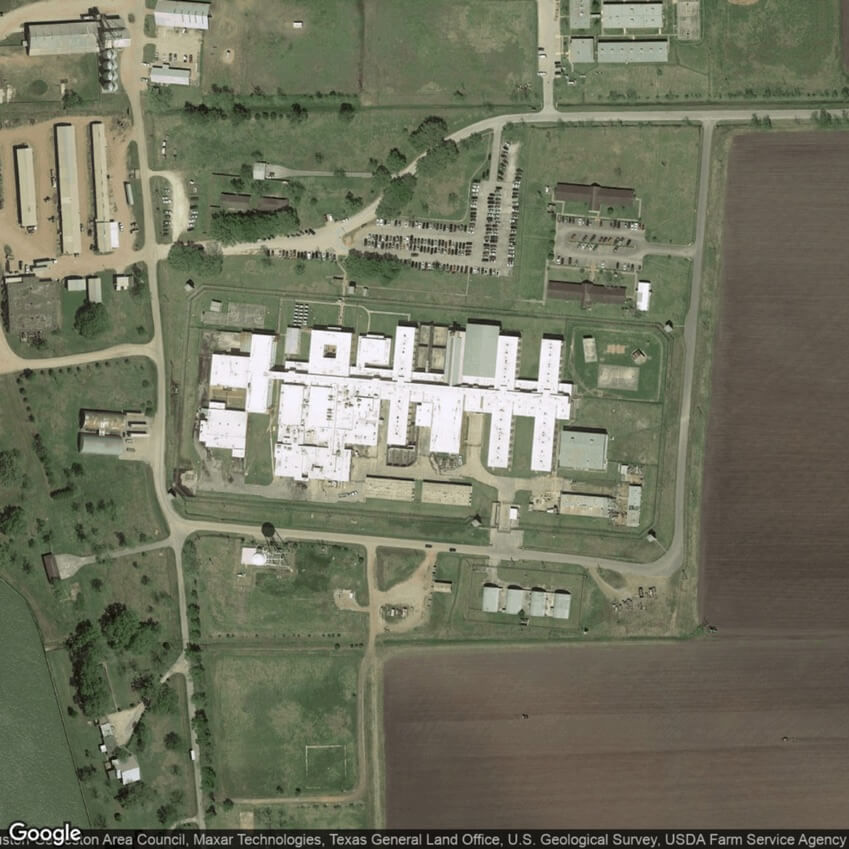
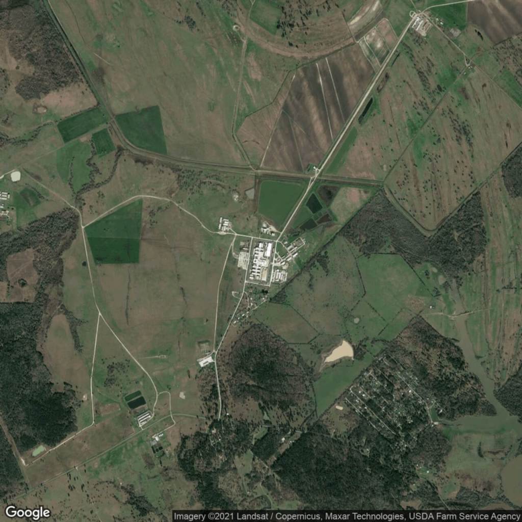
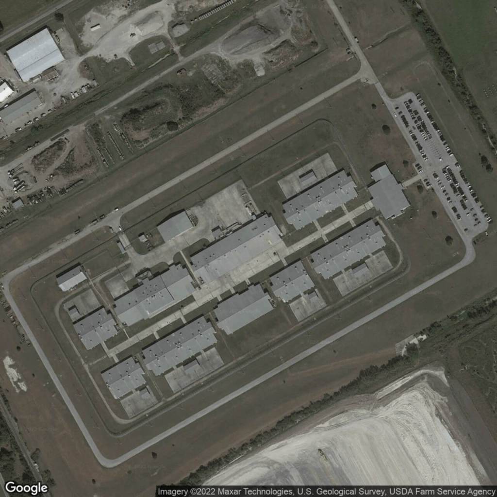
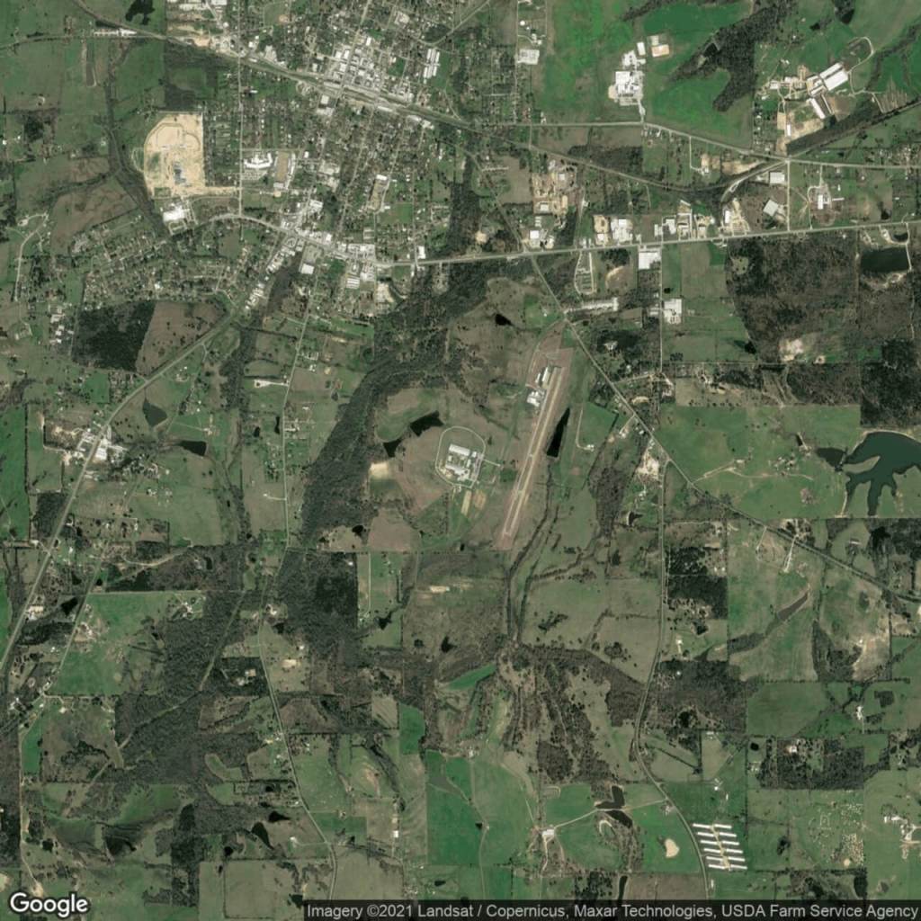
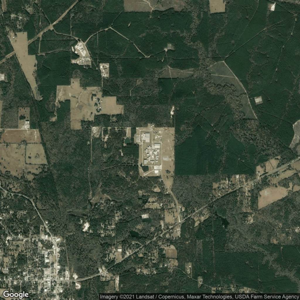
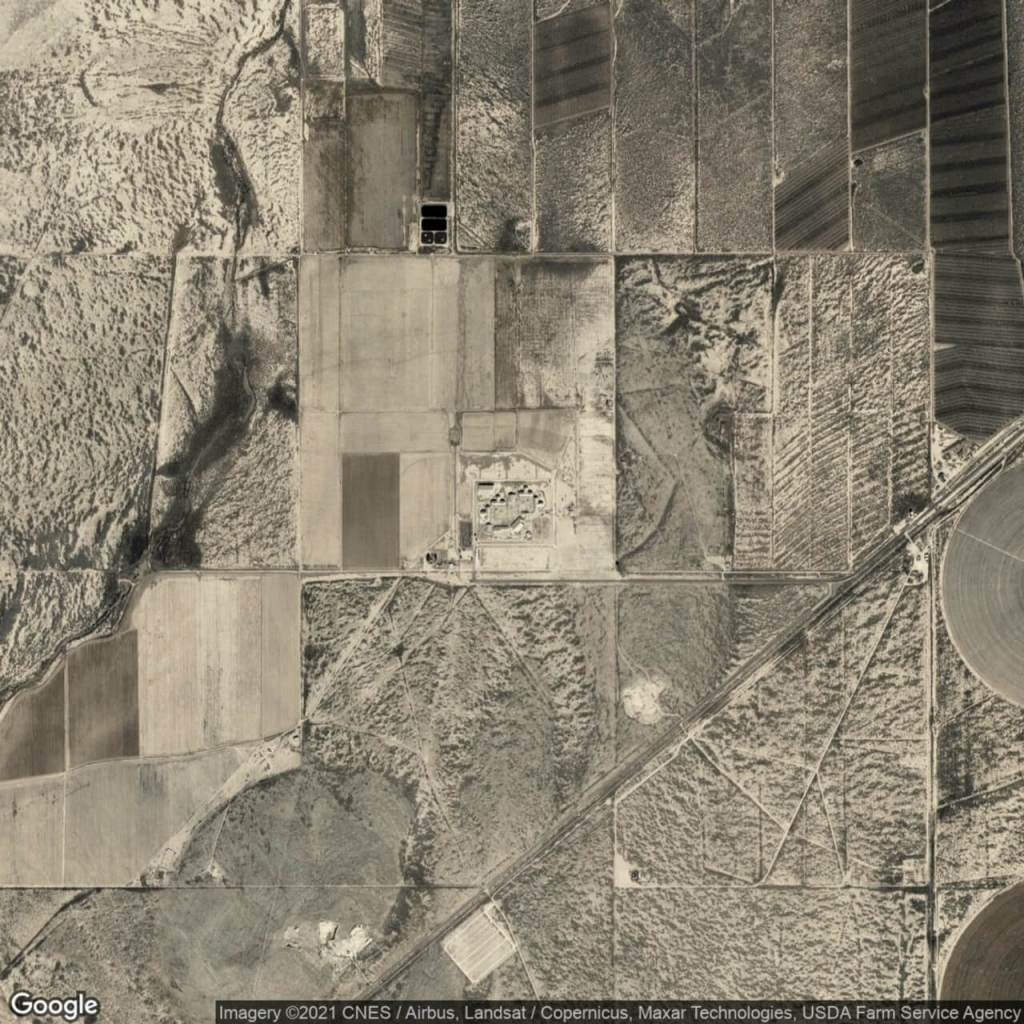
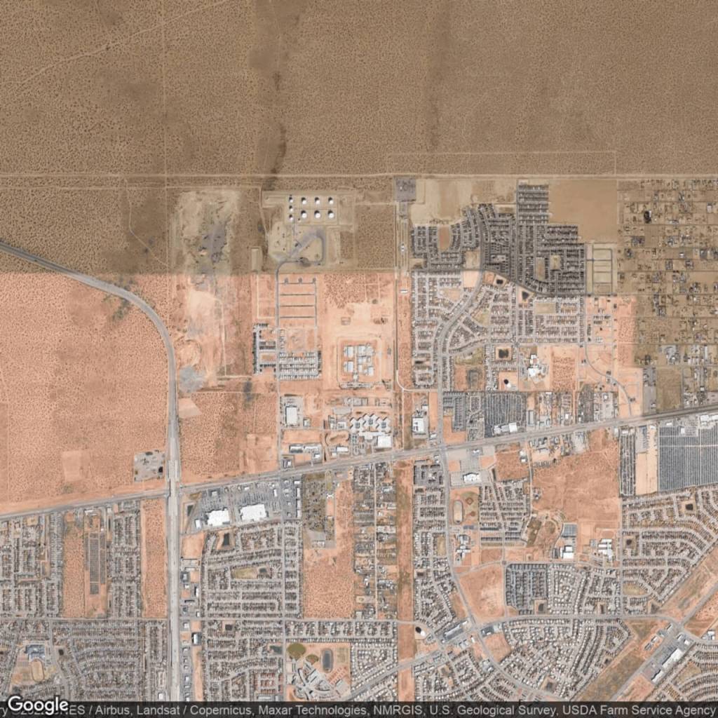
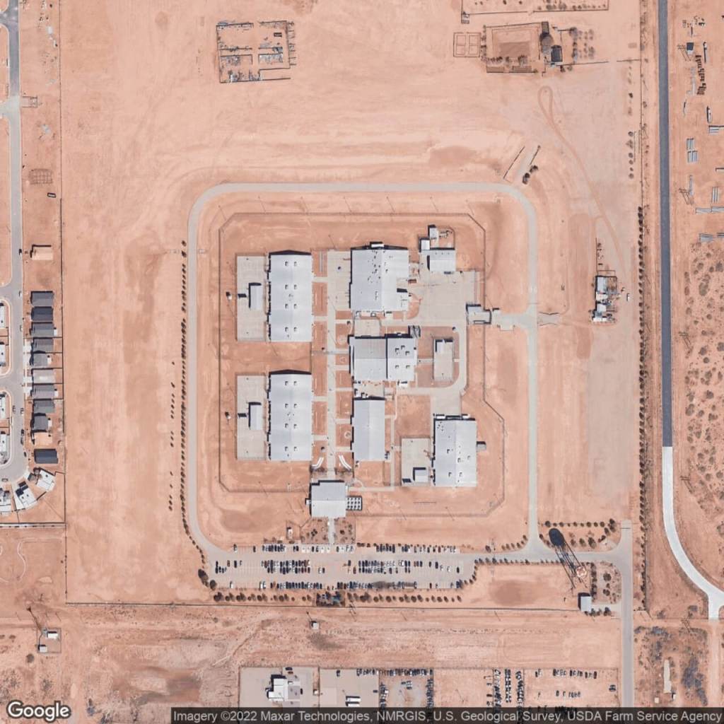
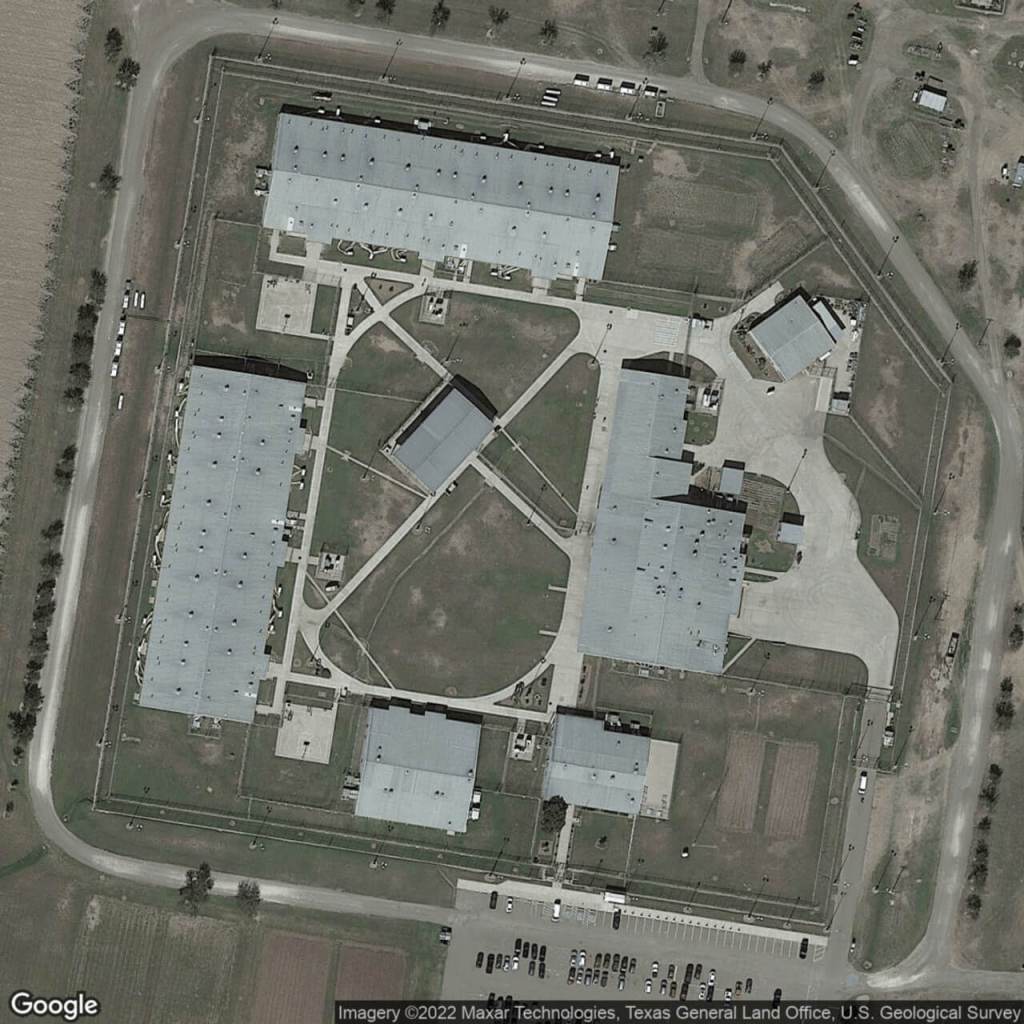
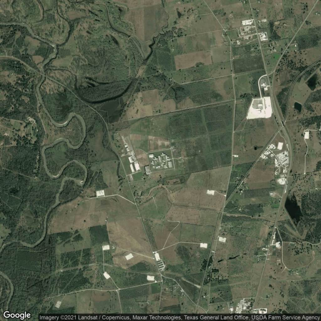
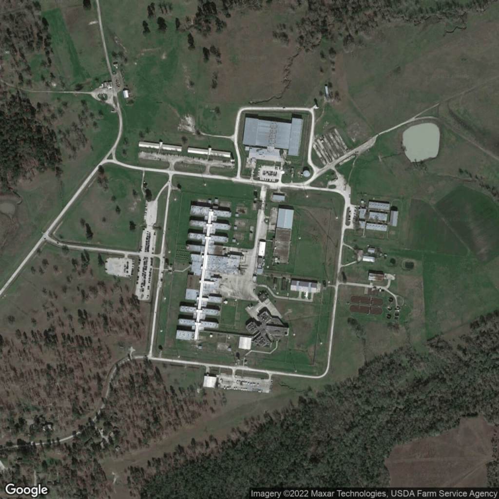
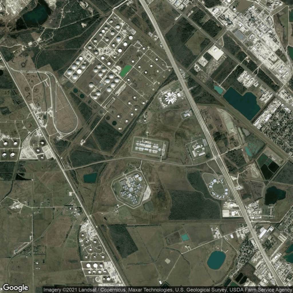
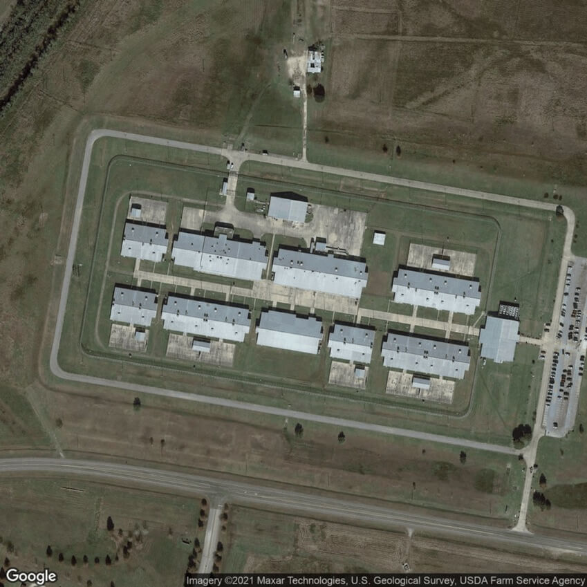
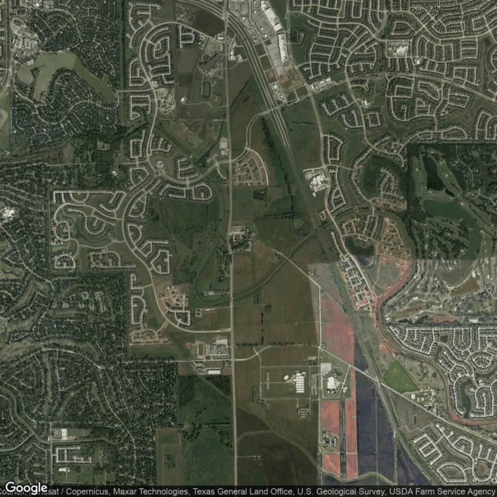
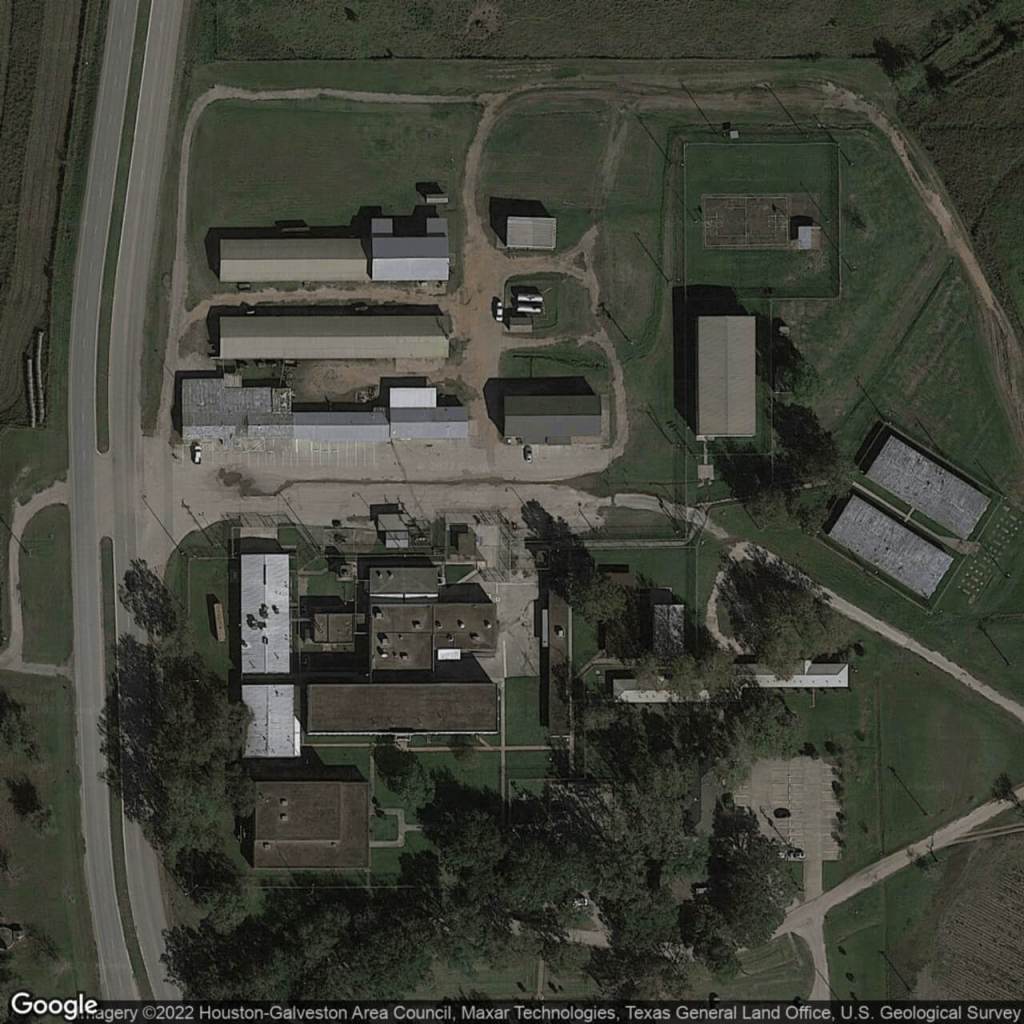
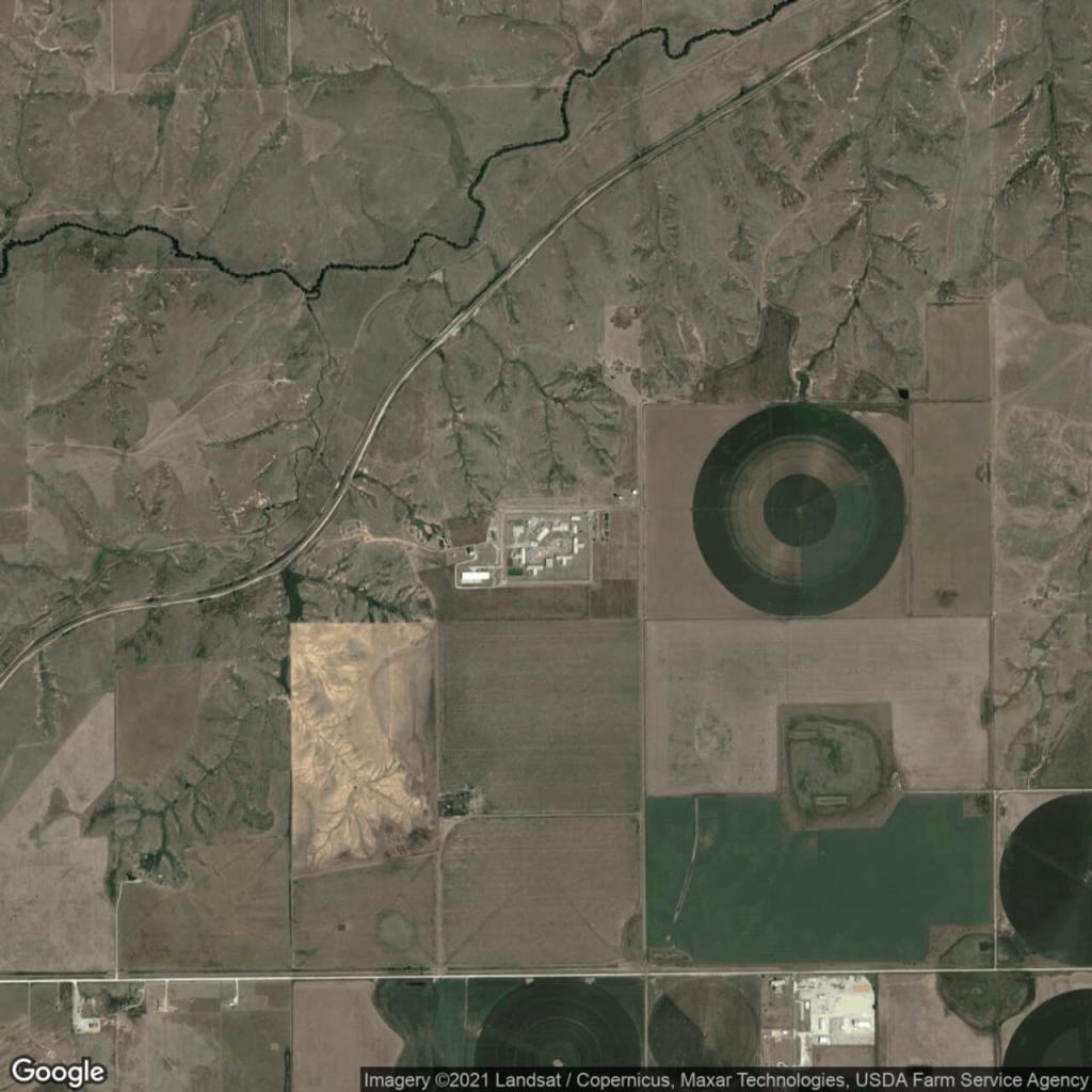
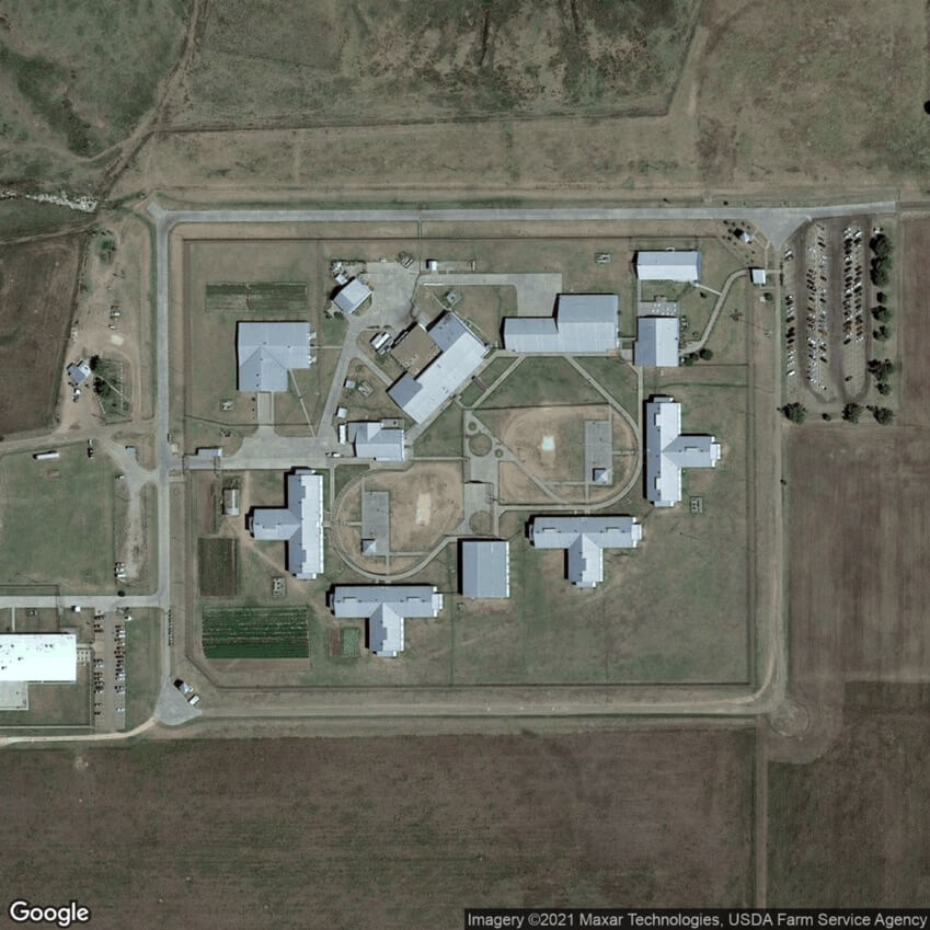
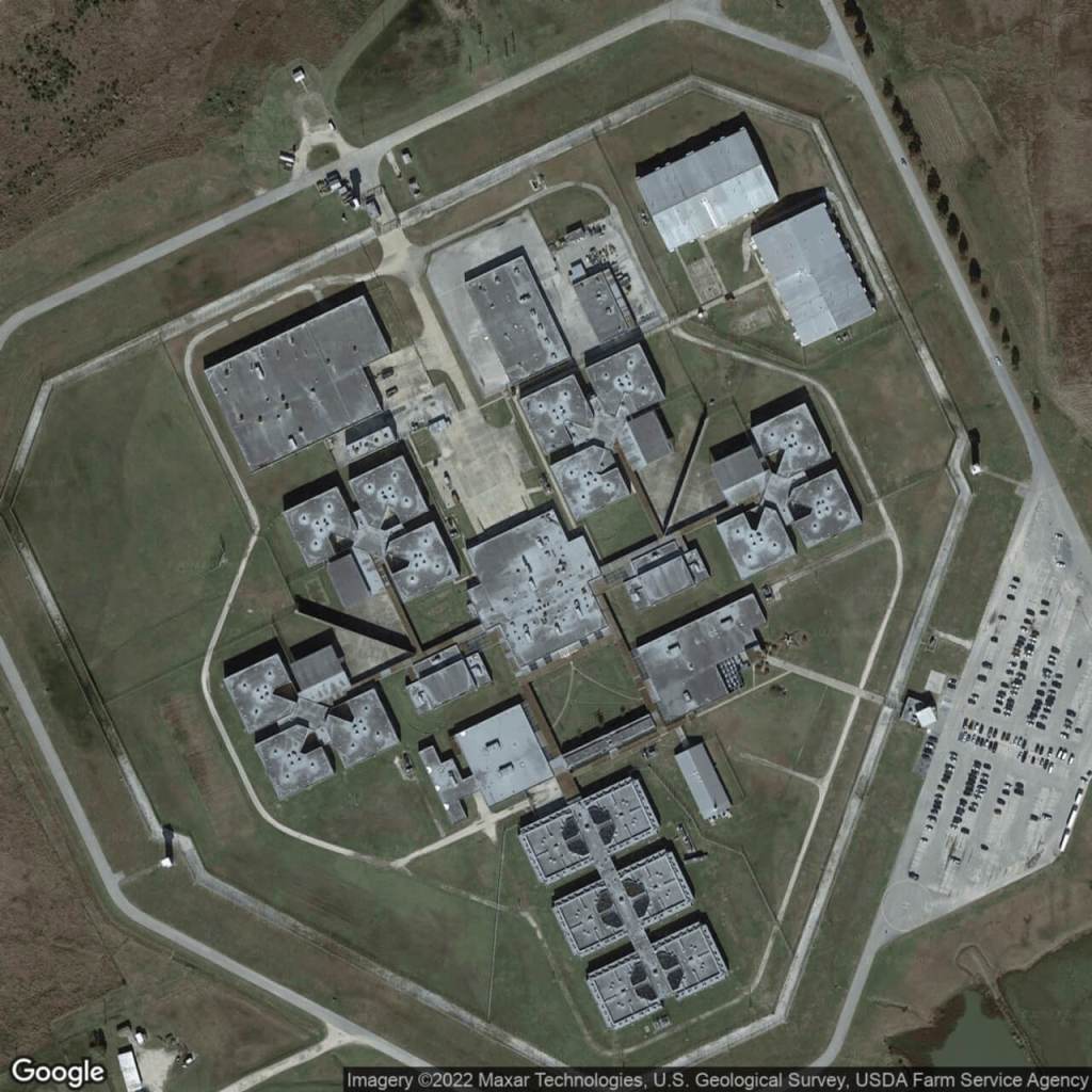
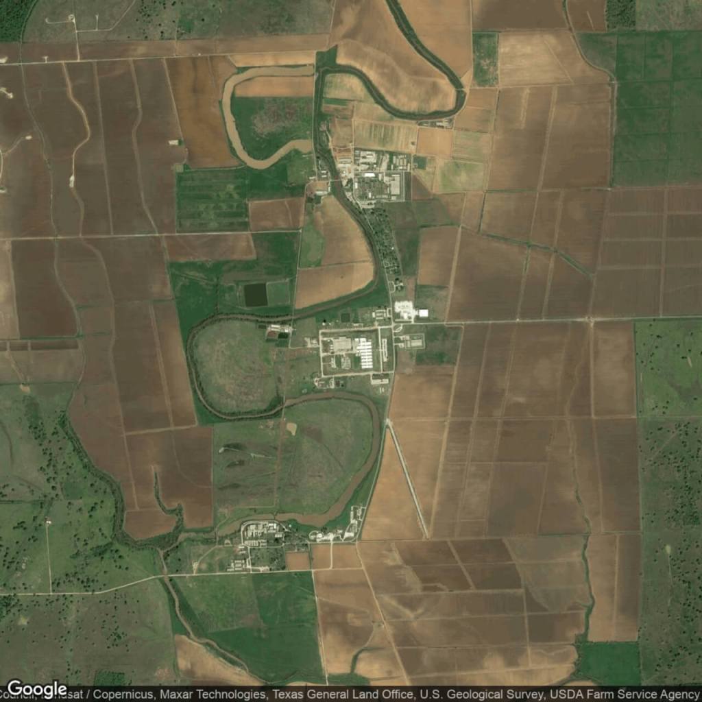
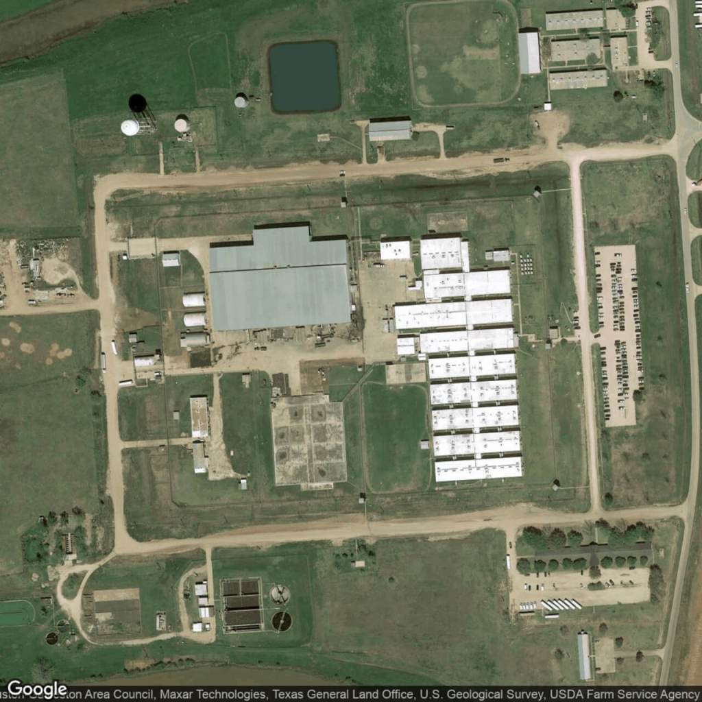
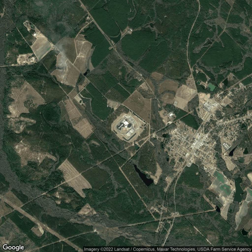
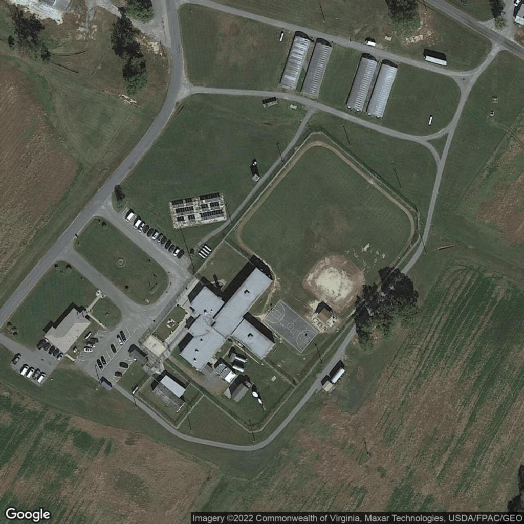
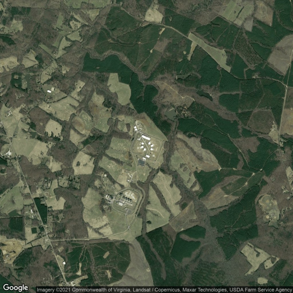
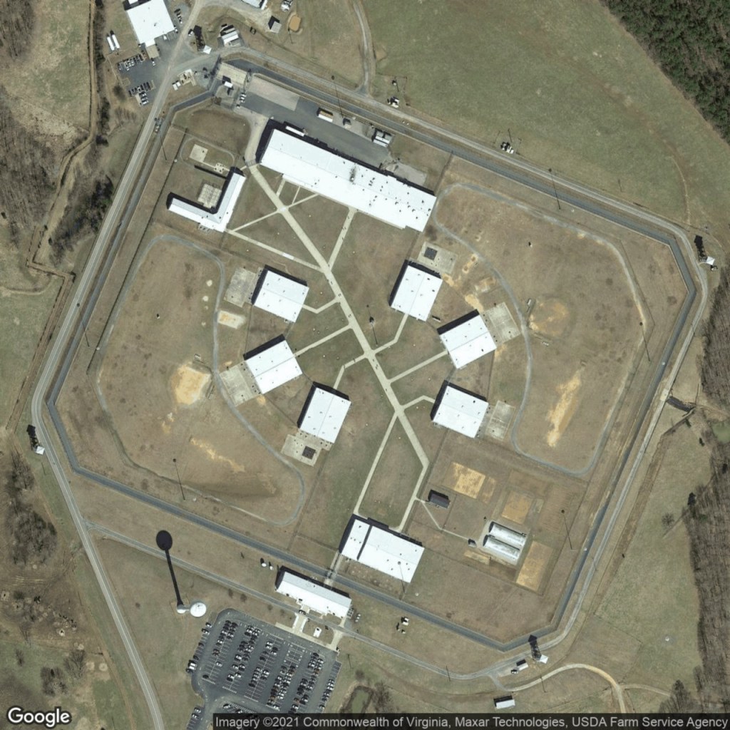
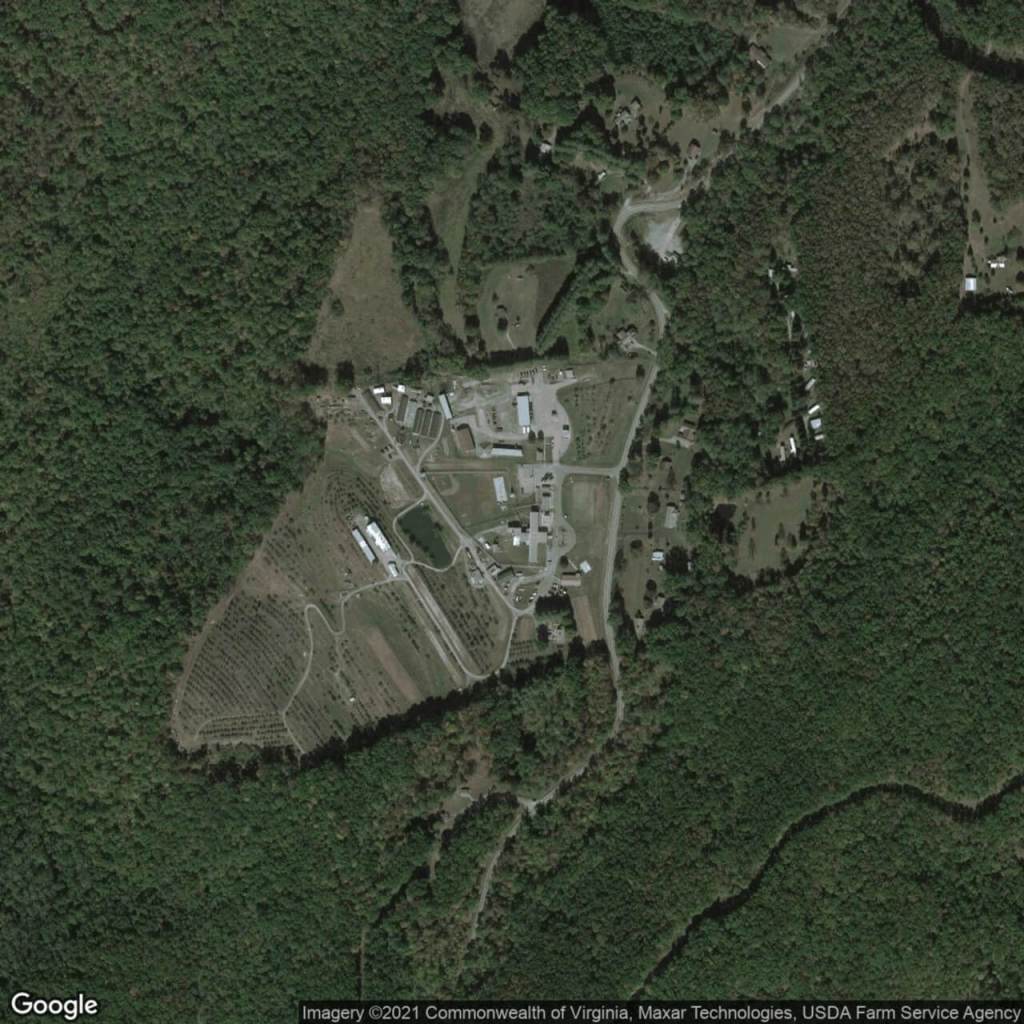
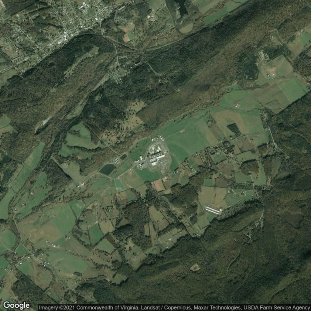
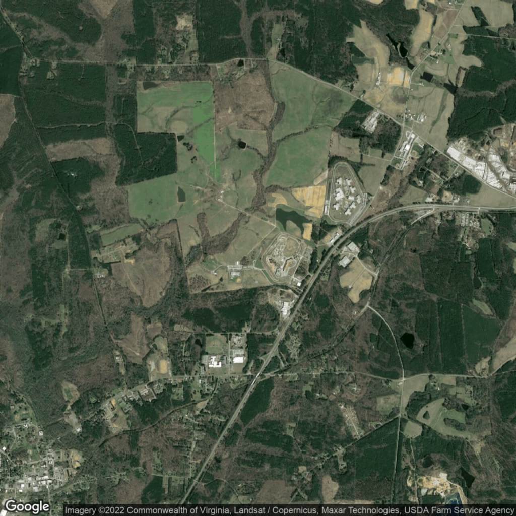
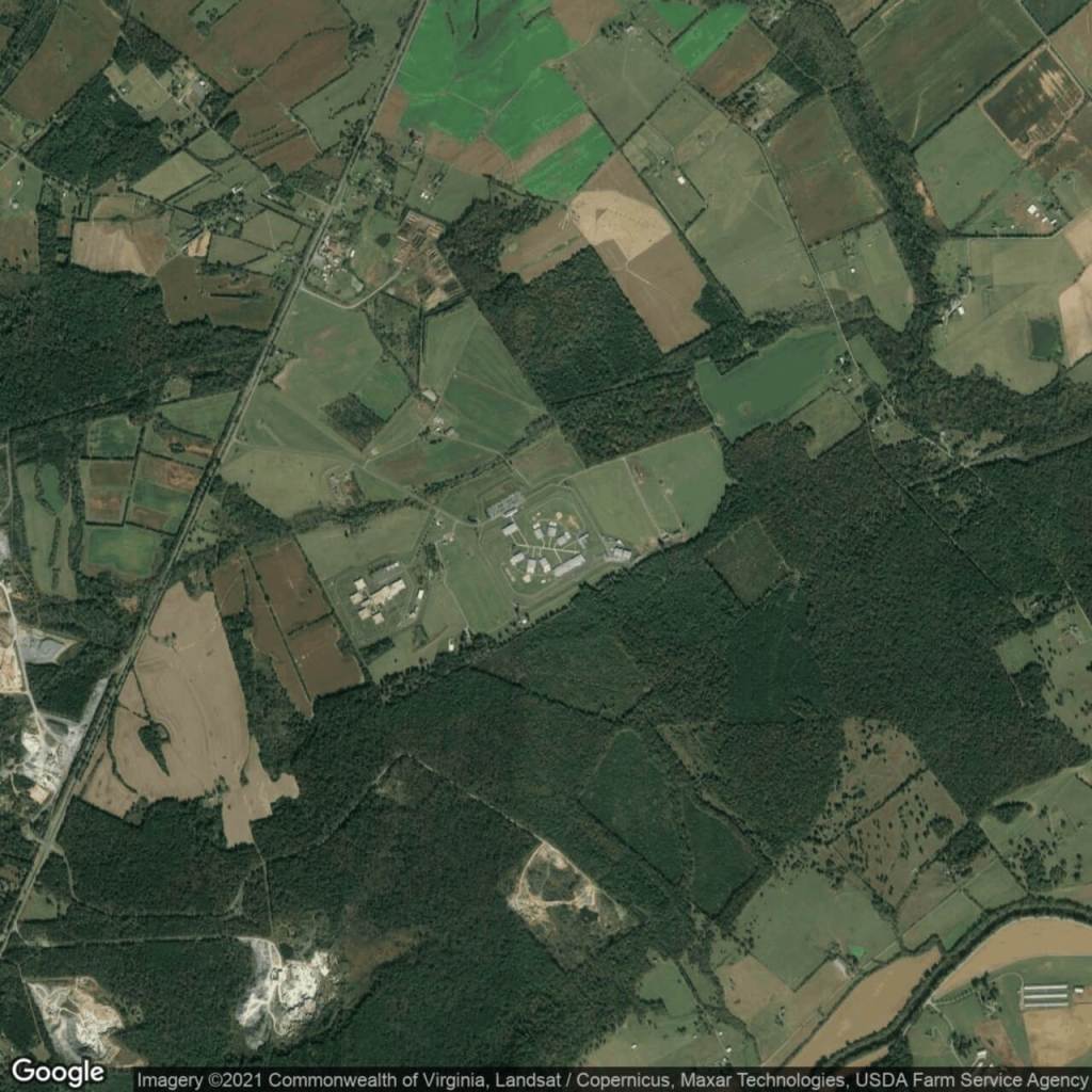
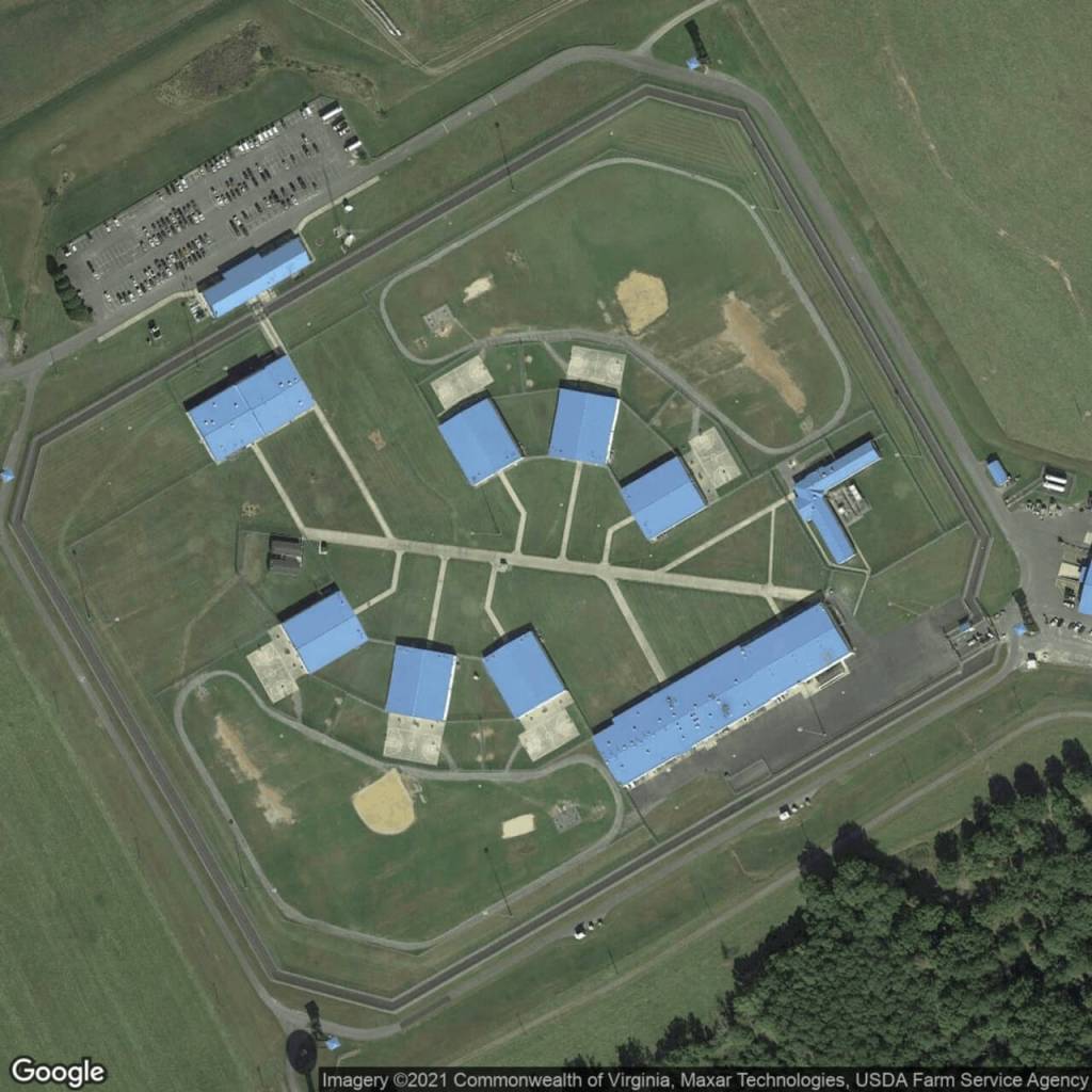
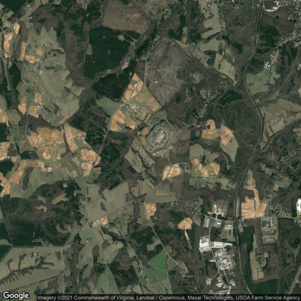
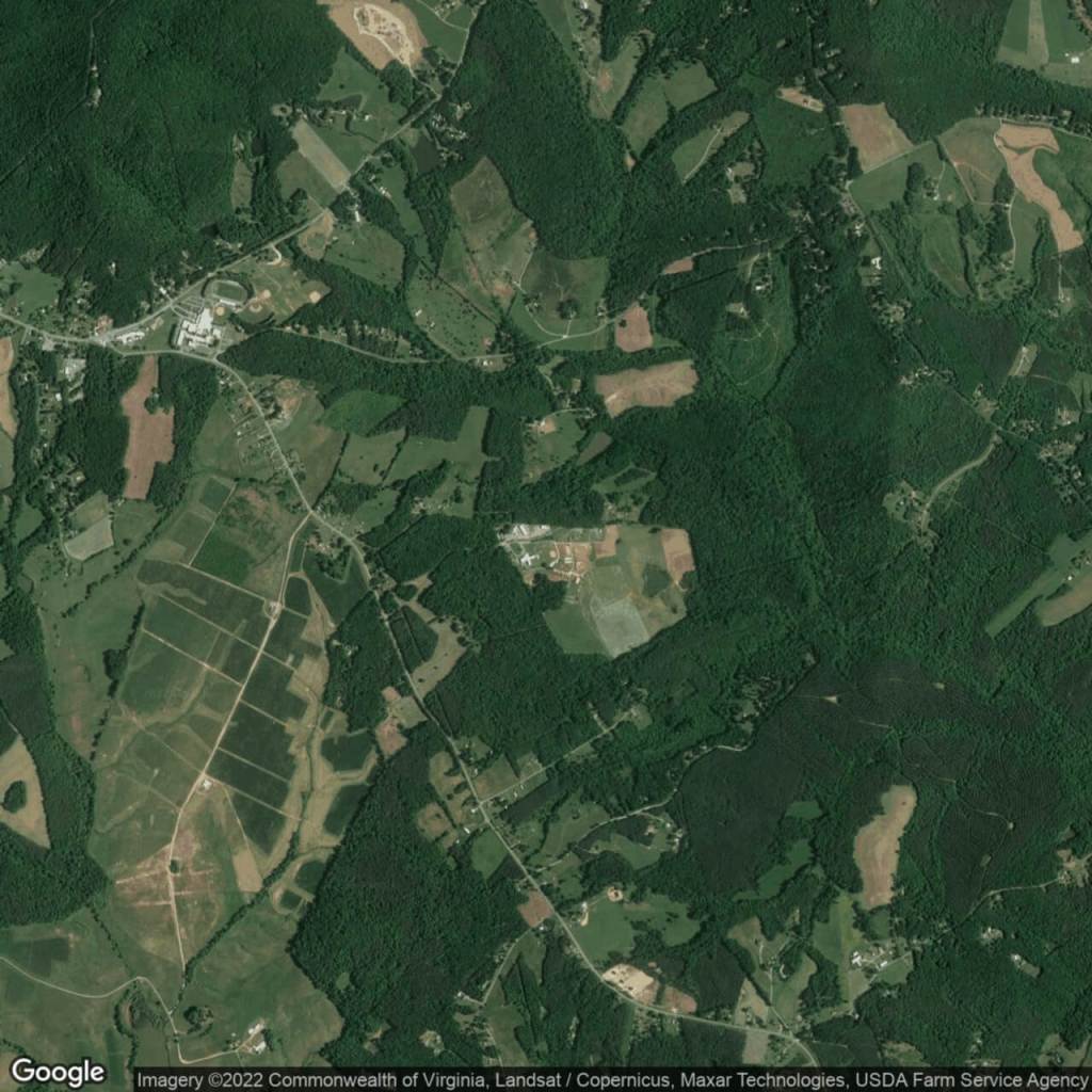
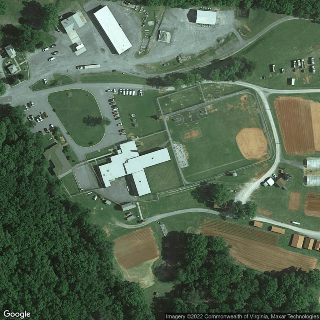
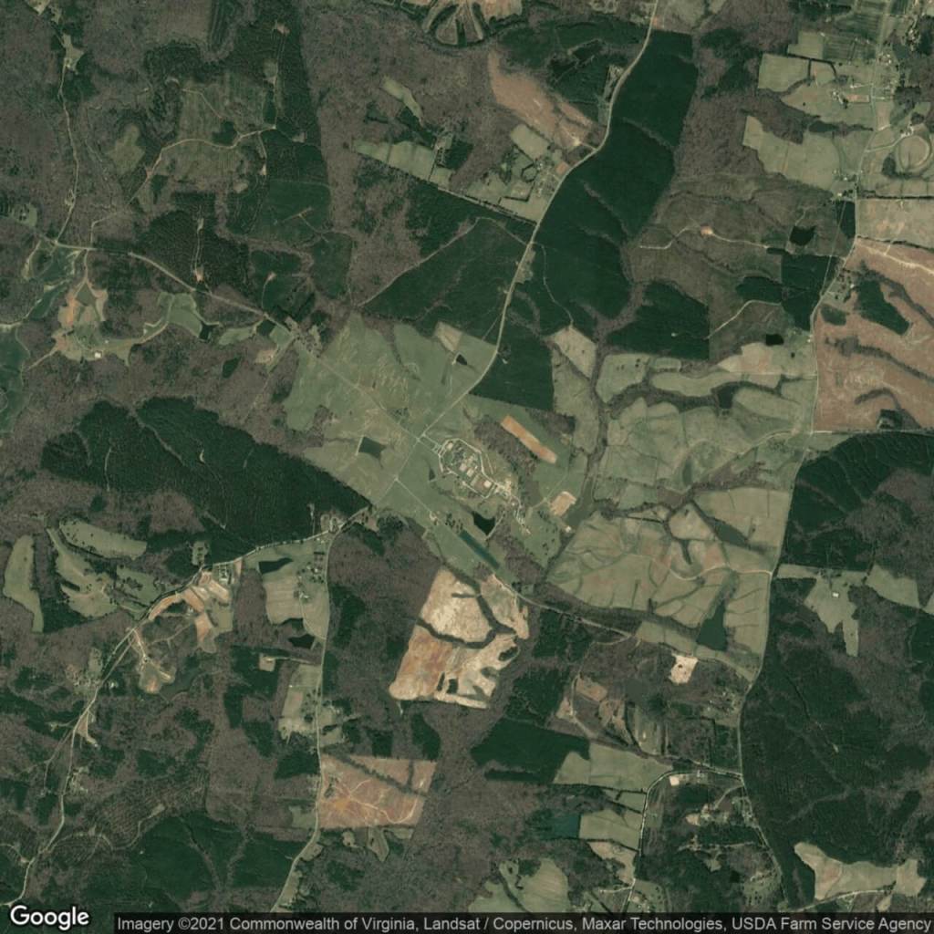
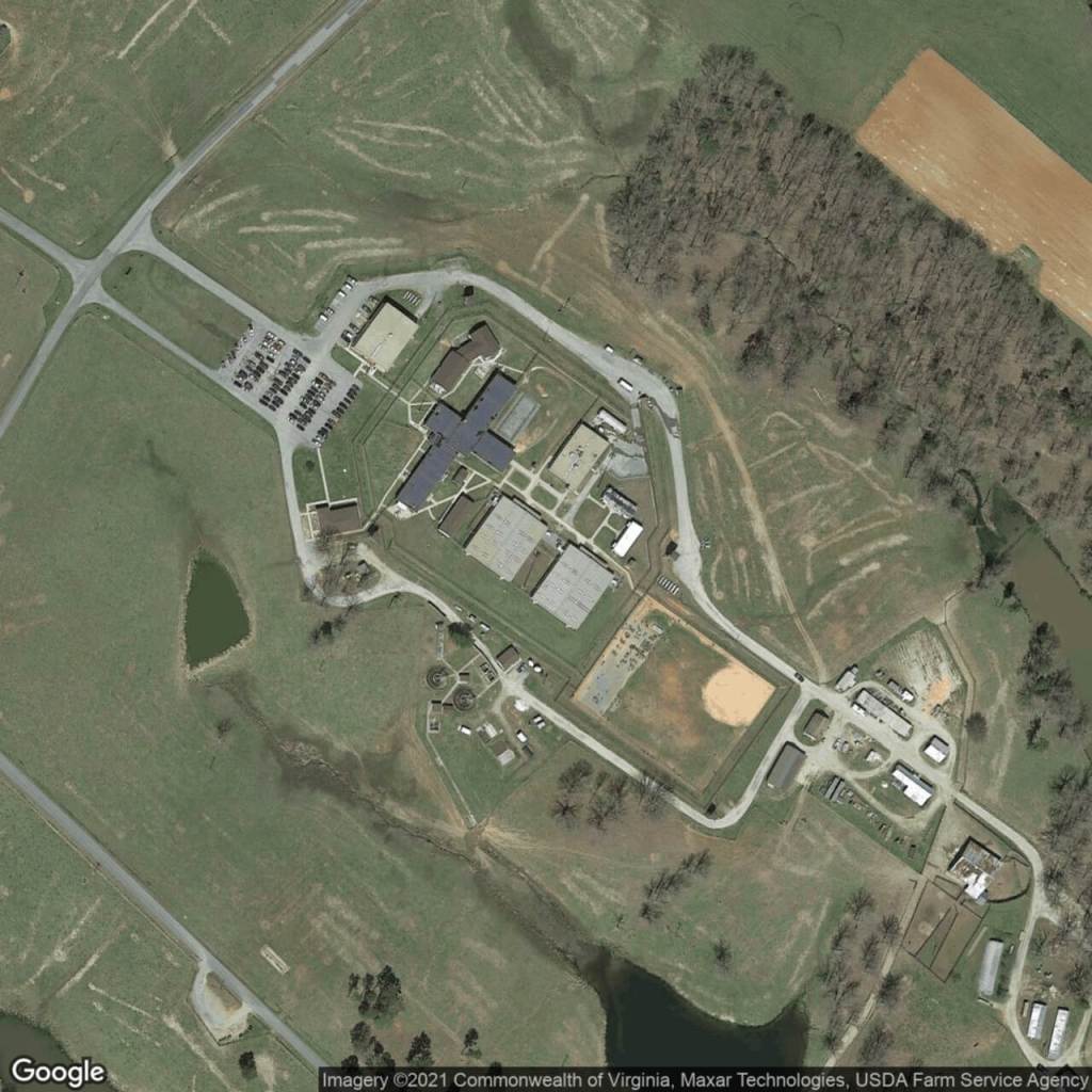
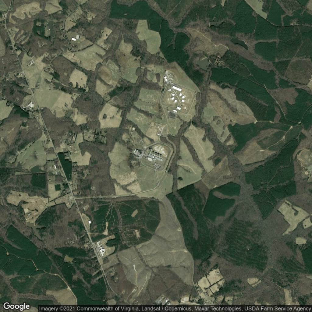
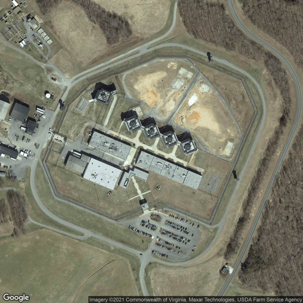
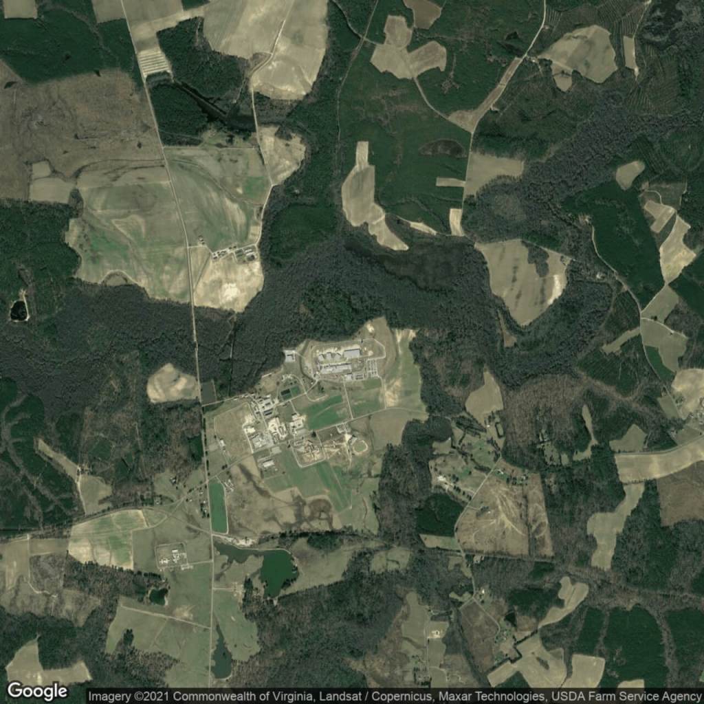
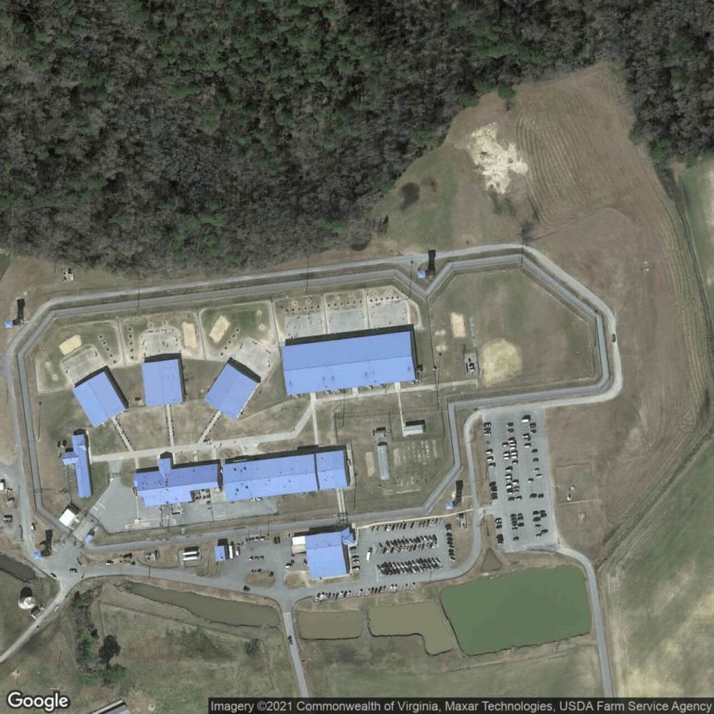
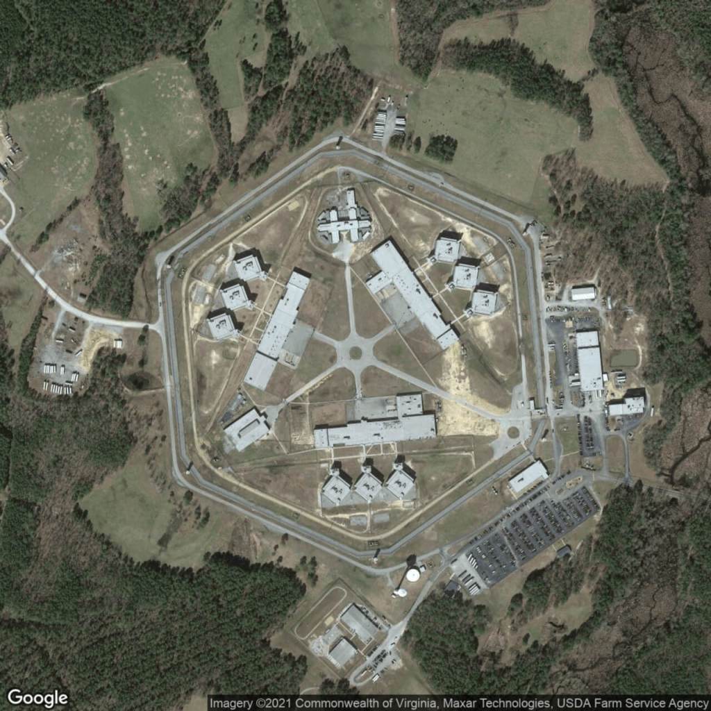
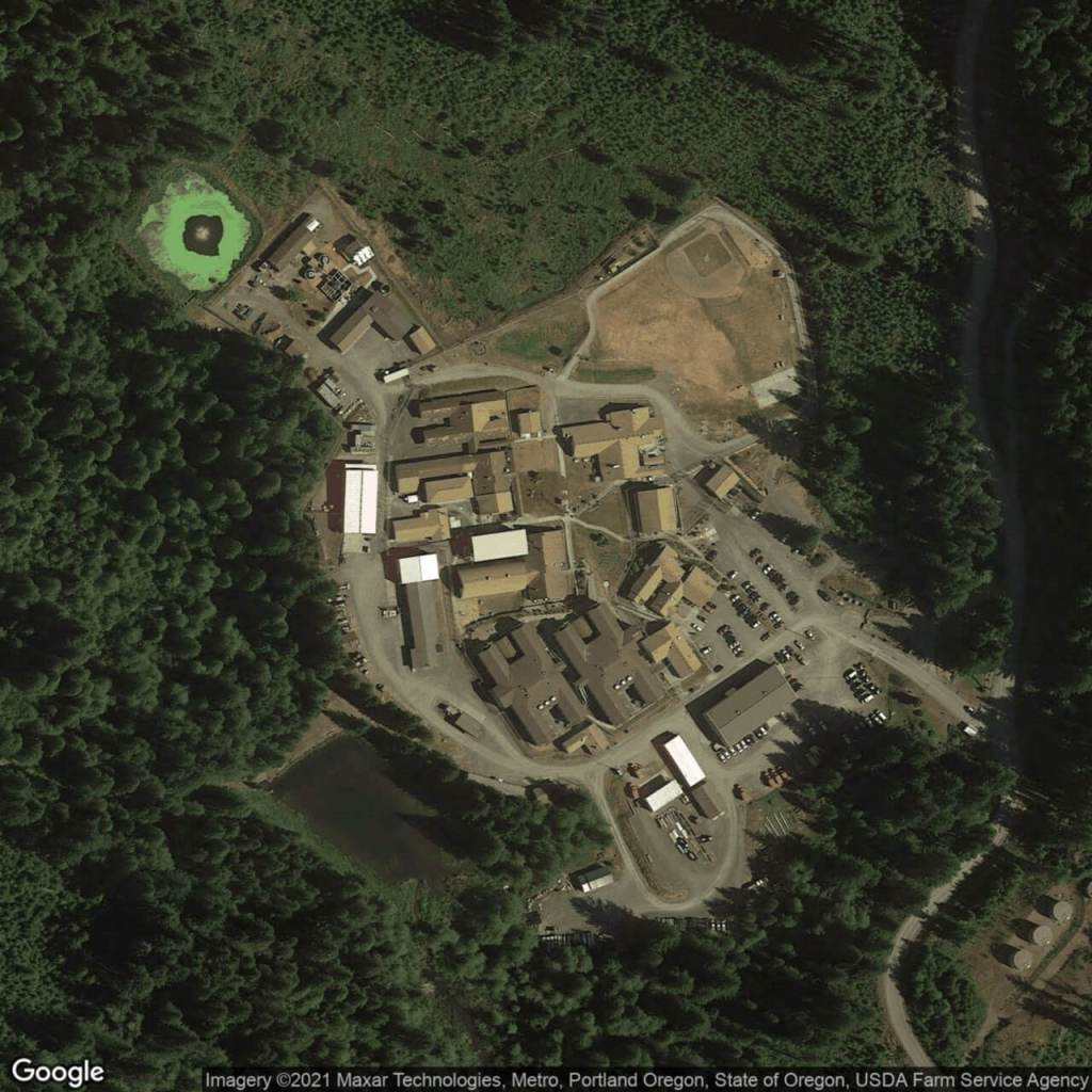
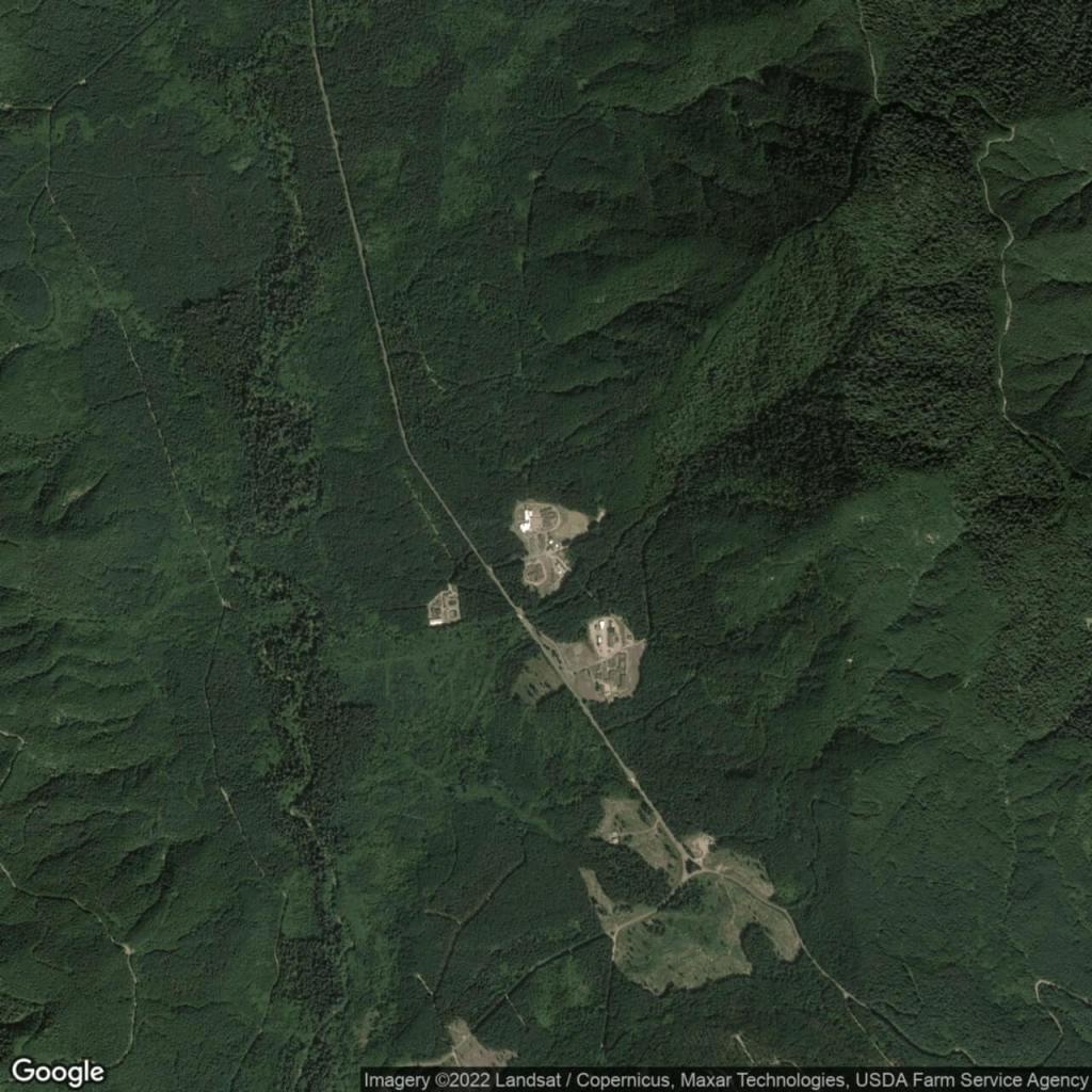
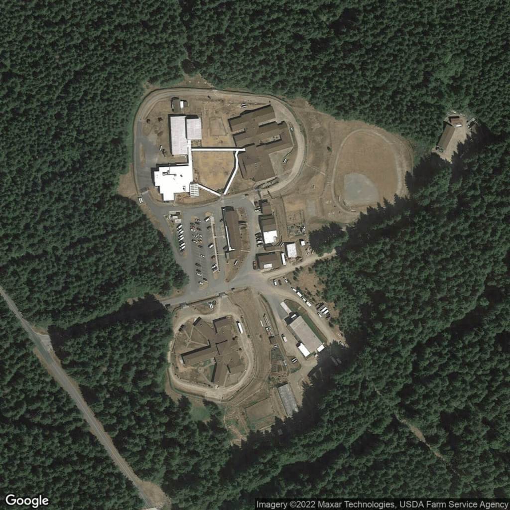
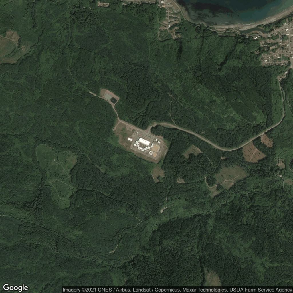
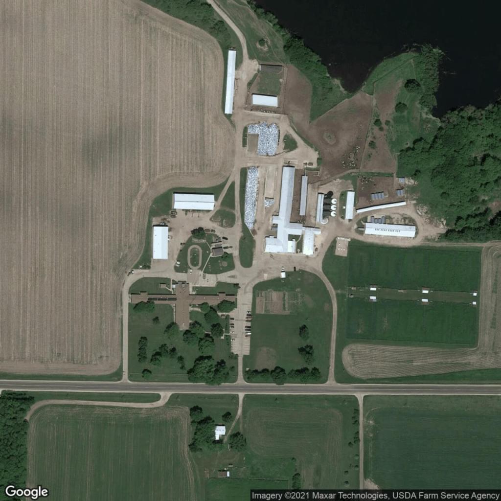
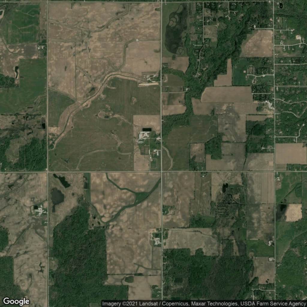
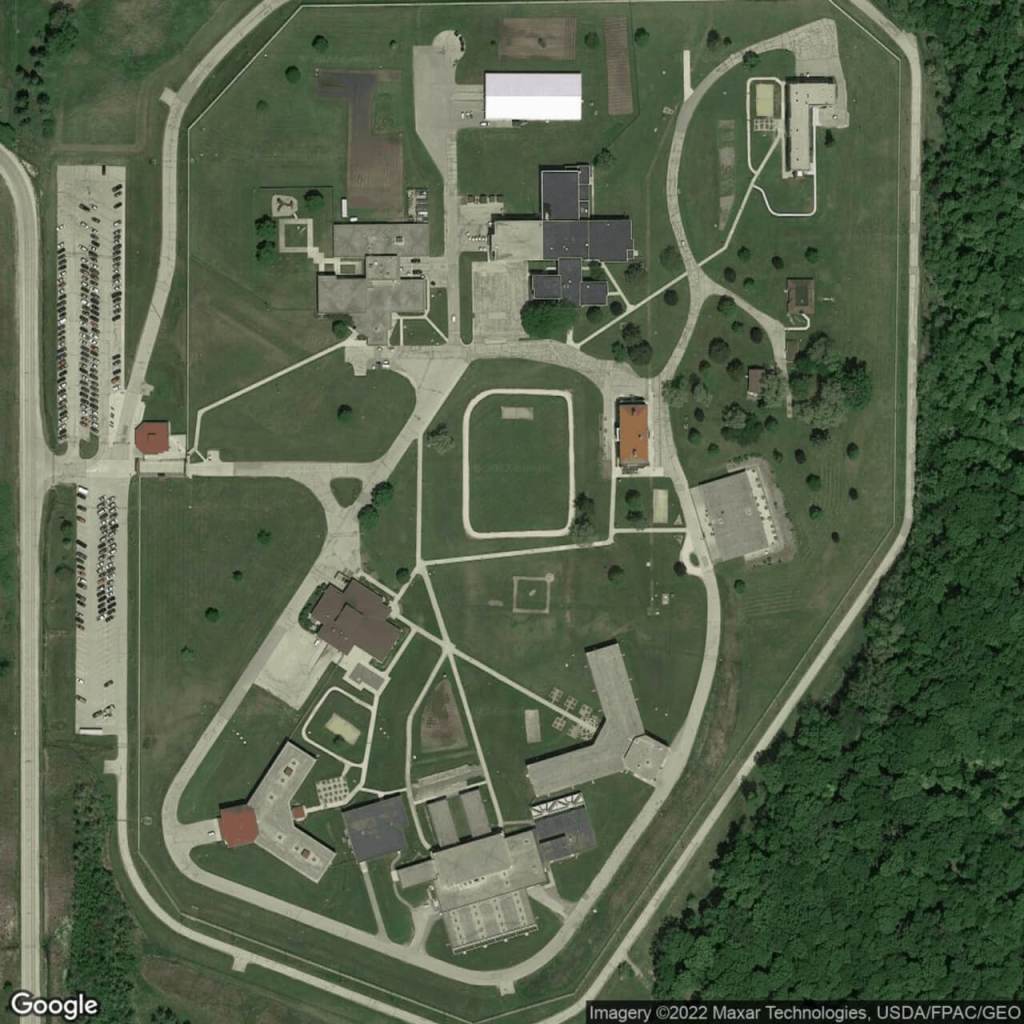
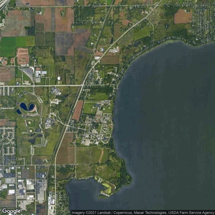
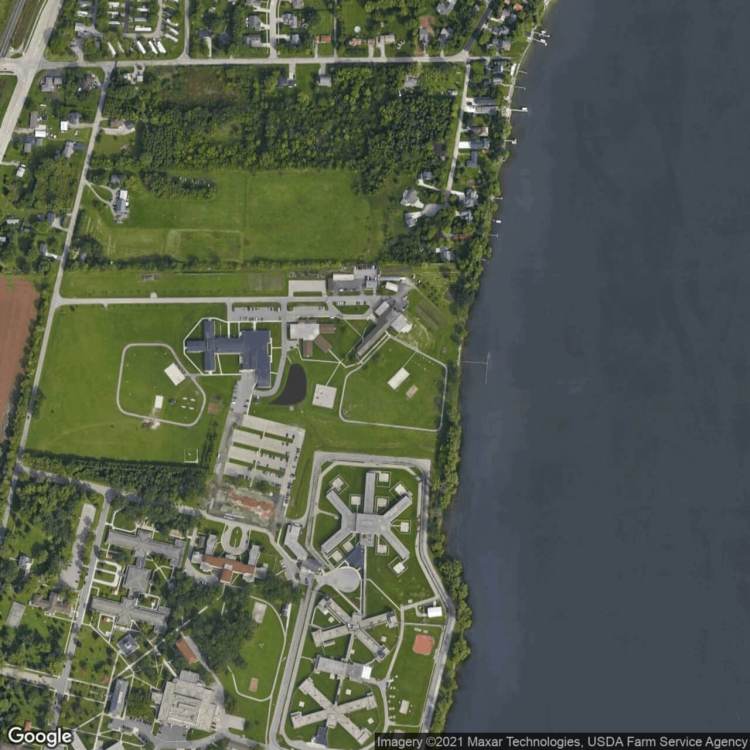
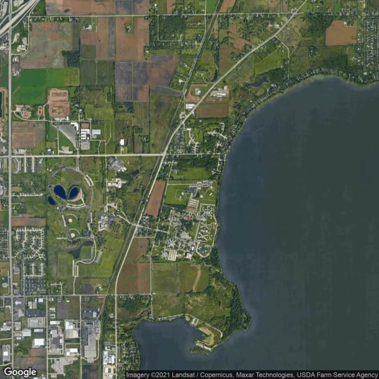
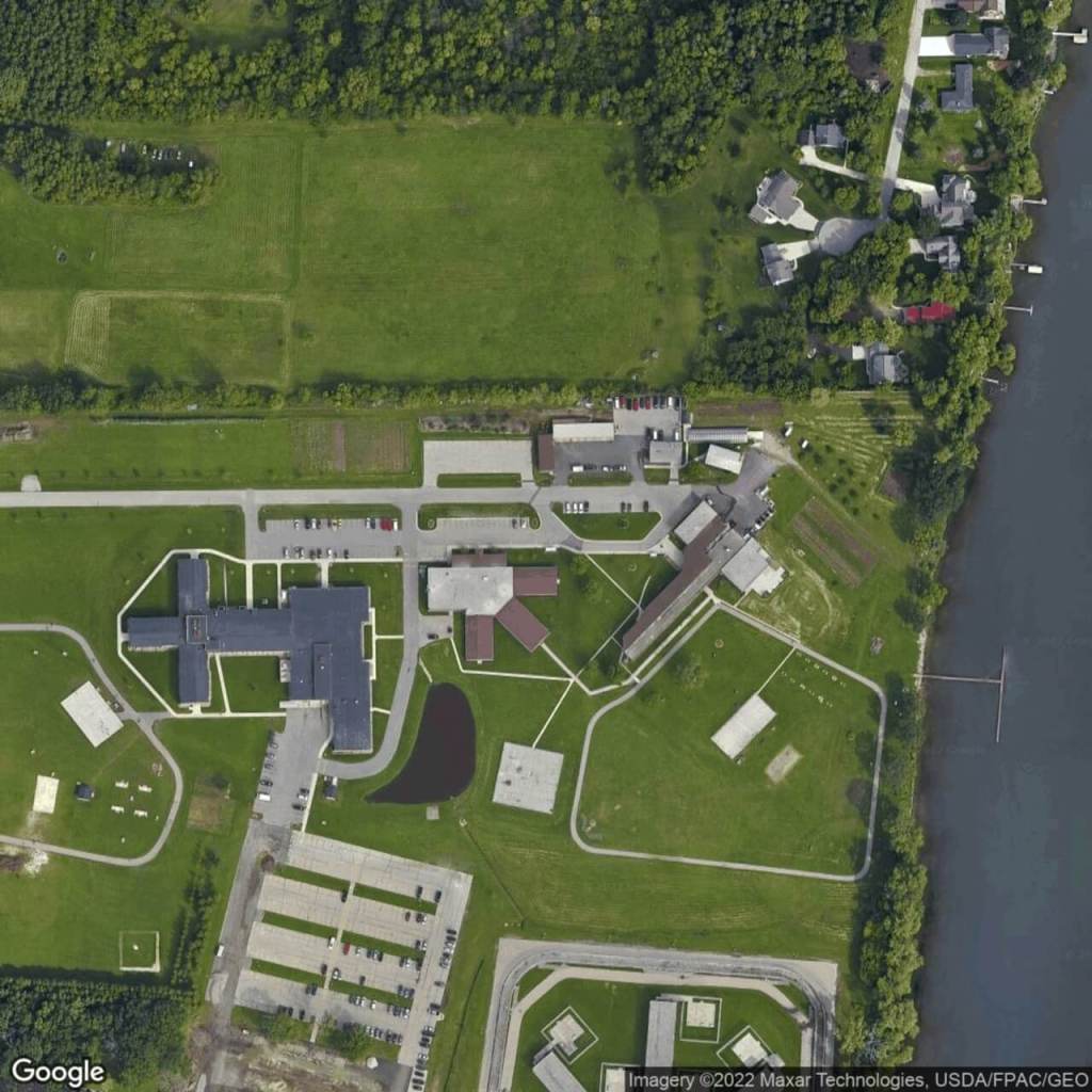
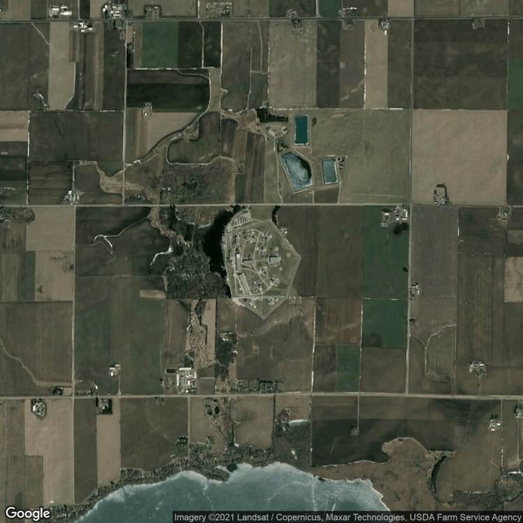
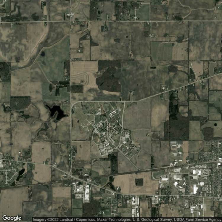
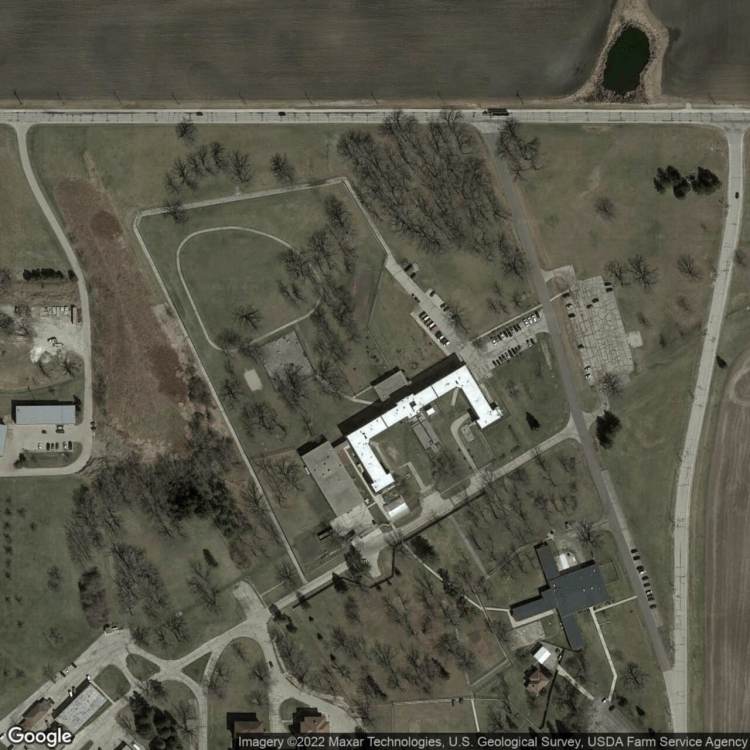
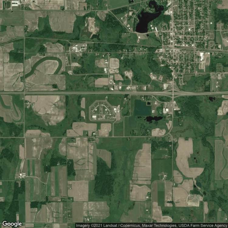
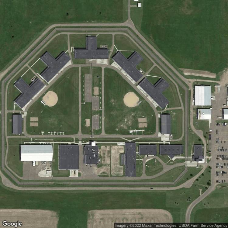
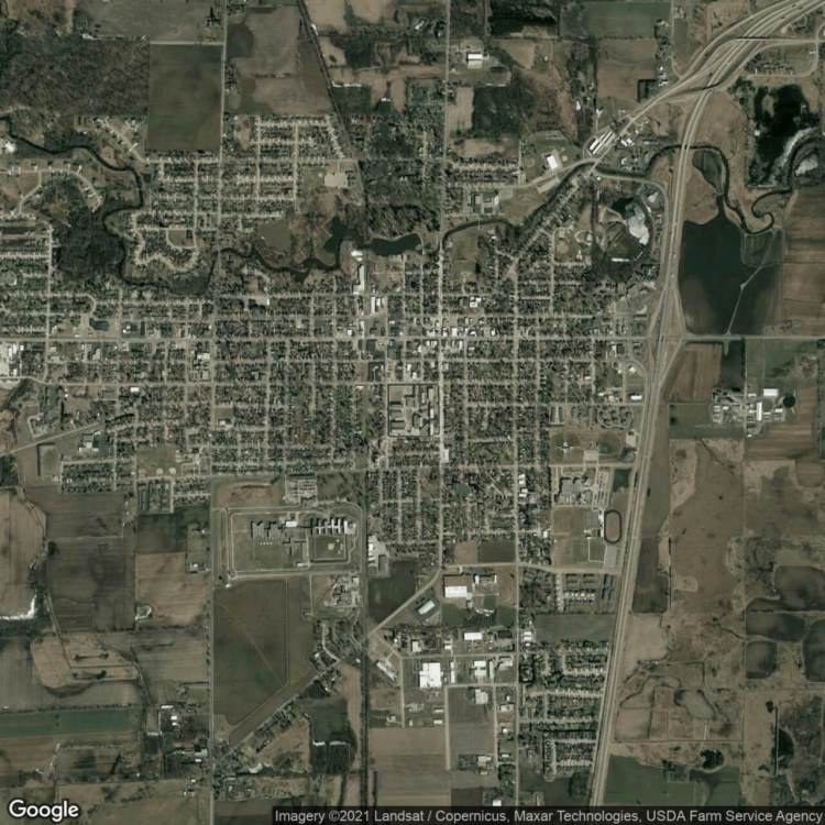
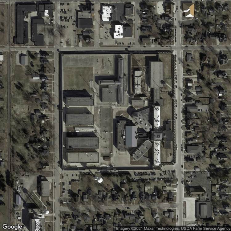
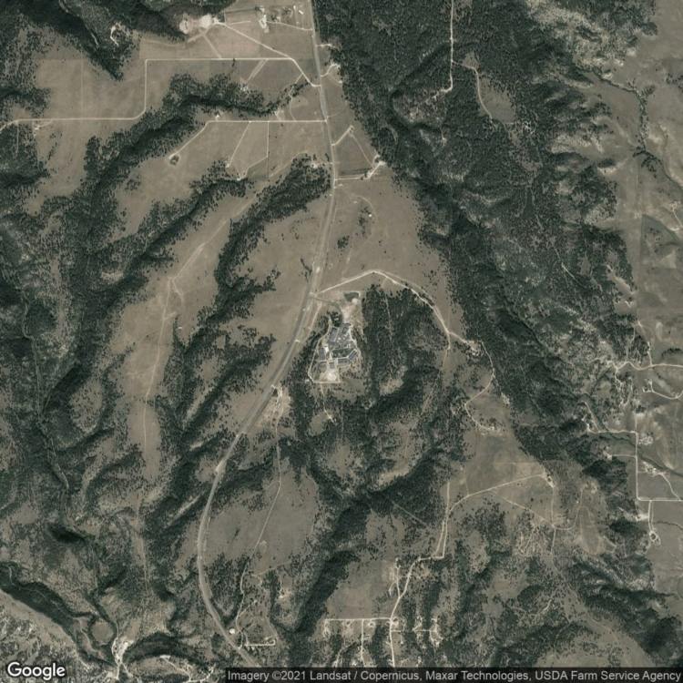
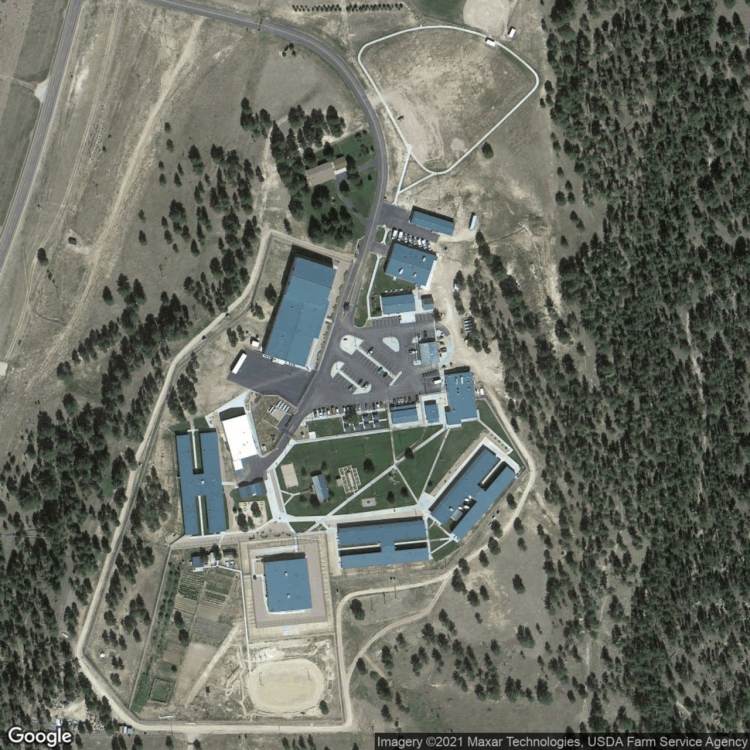
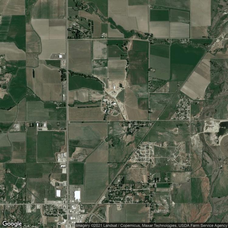
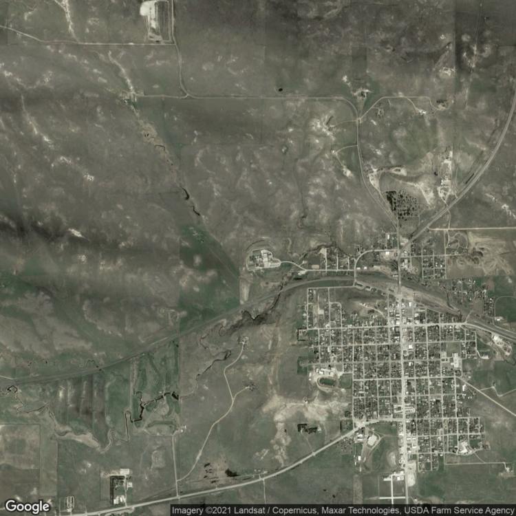
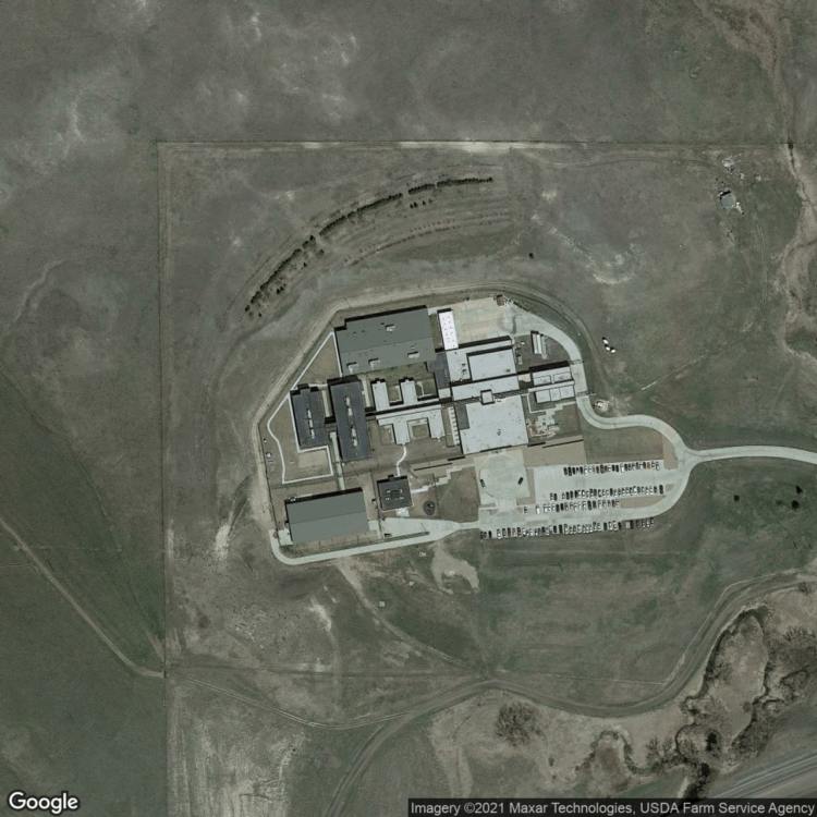
There are at least 662 prisons with prisoners who participate in some form of agriculture. This is sometimes visible from the air, revealing the carcerality of agricultural landscapes, while other times it is invisible, suggesting the carceral power to hide agricultural practices inside carceral architecture. While one could focus strictly on prisons, this would be to ignore the permeability of carceral space and the relationship of prisons to the broader social and ecological communities within which they reside. There are two images for each prison. The first is zoomed out to visually let the eyes stretch beyond prison walls, while the second is zoomed in to focus the viewer on the bricolage of agriculture and prison architecture.
Here is a PDF version to print for use with those without internet access
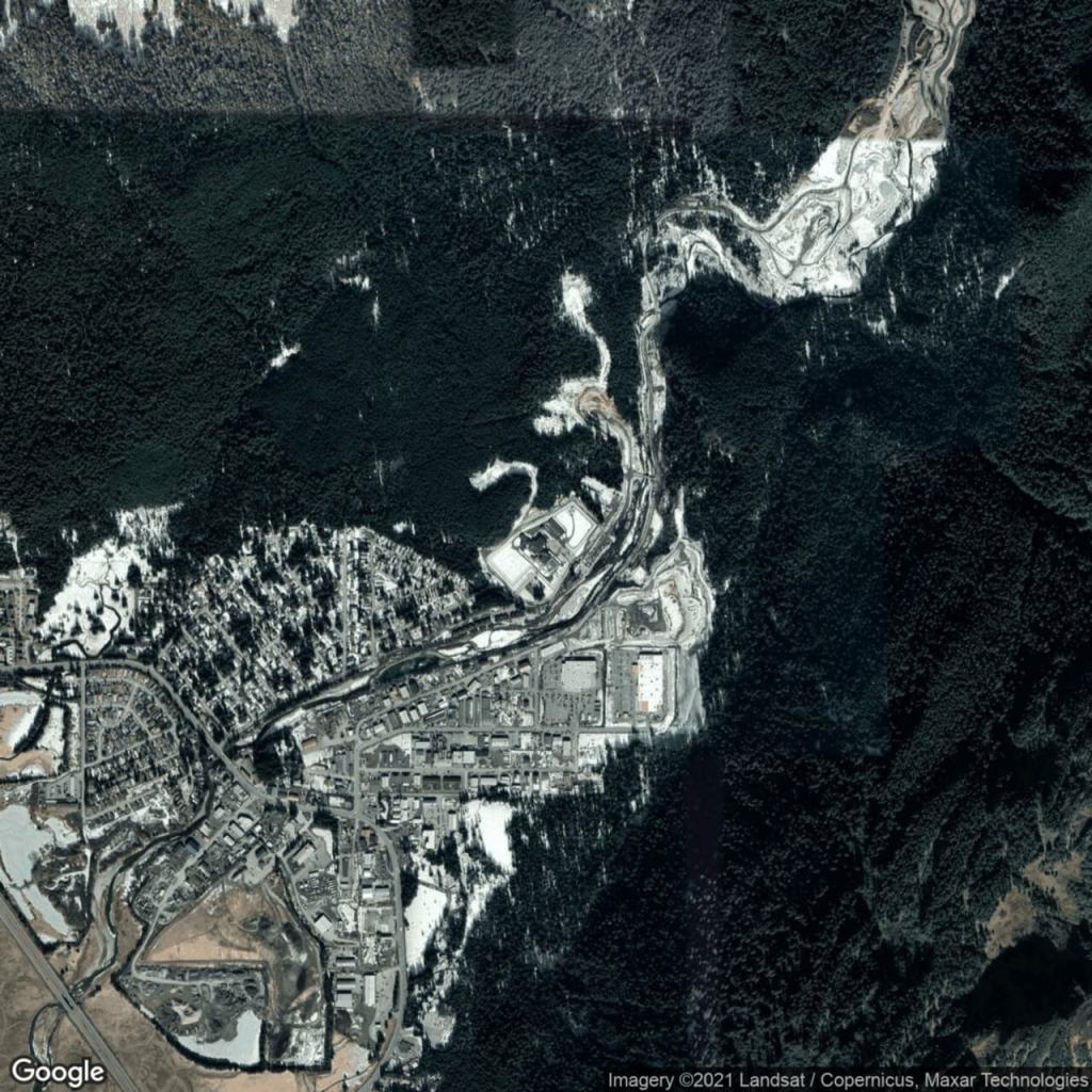
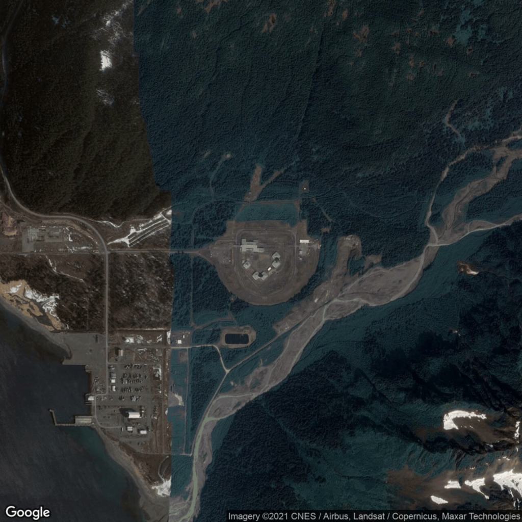
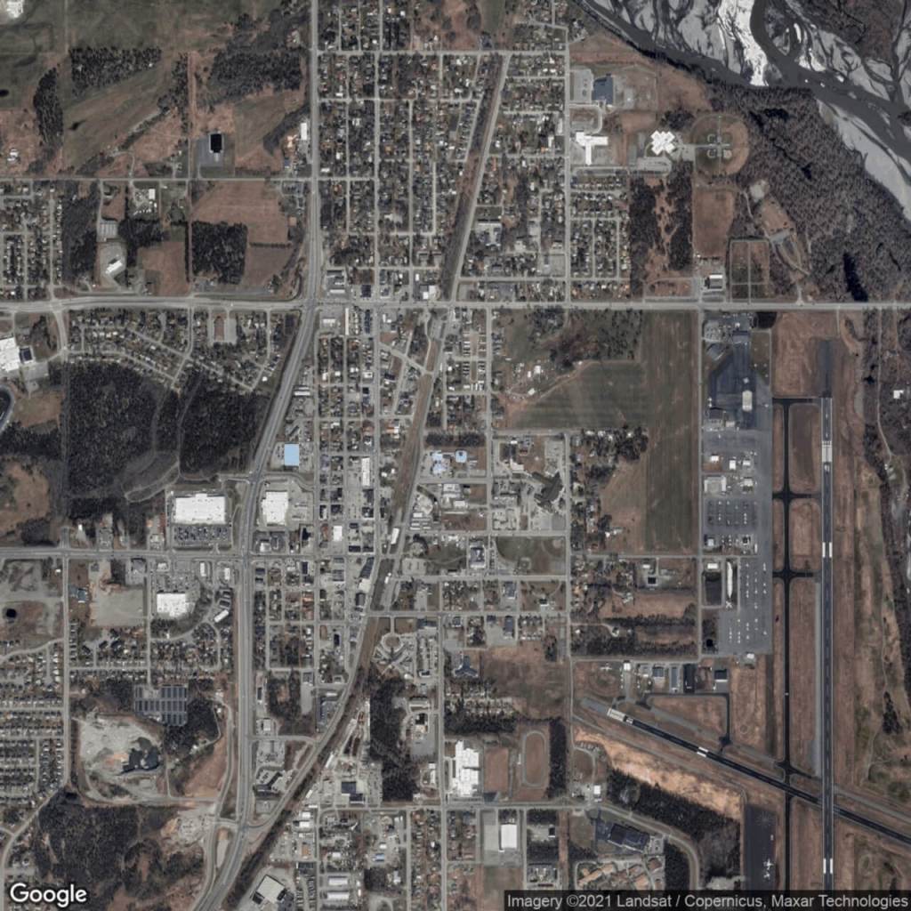
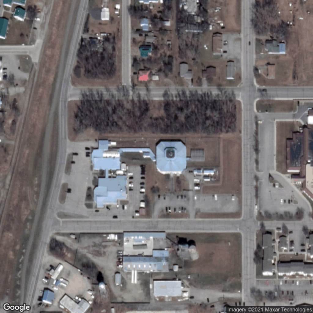
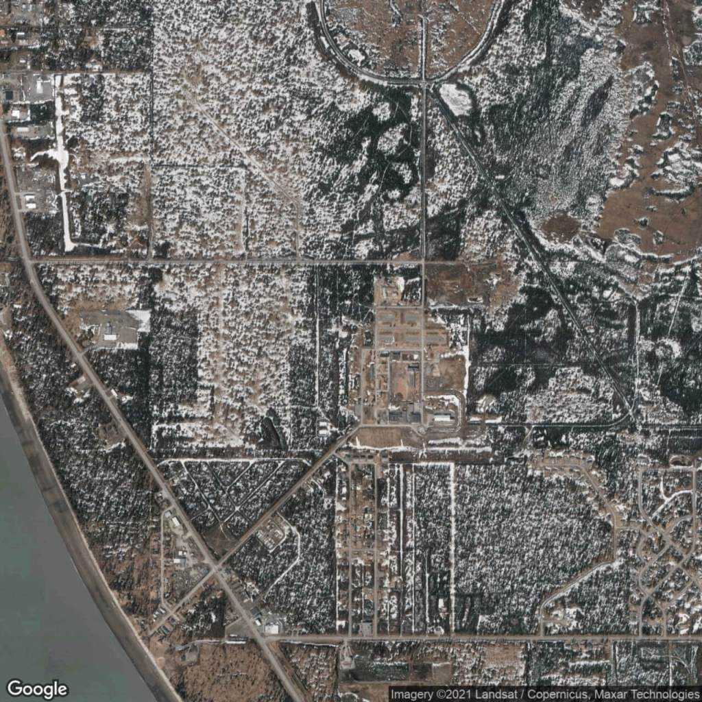
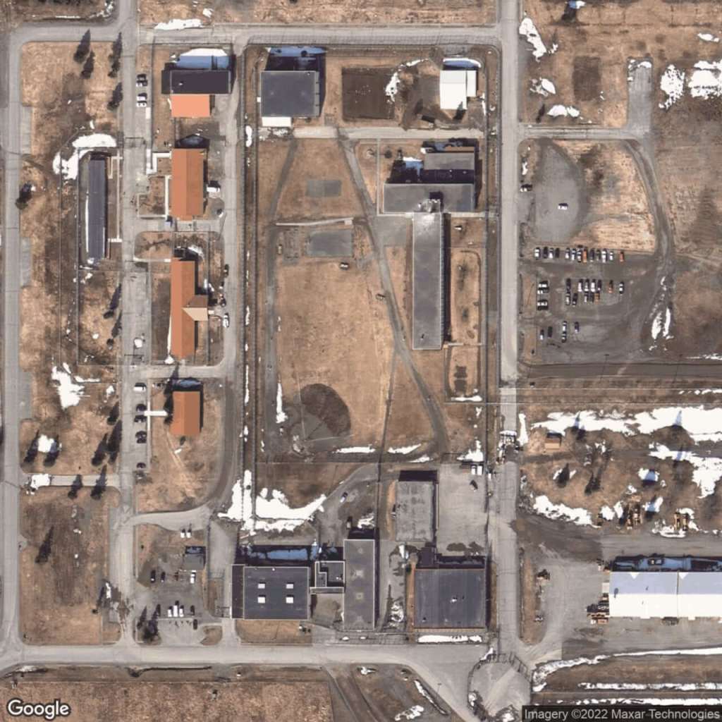
Goose Creek Correctional CenterLemon Creek Correctional CenterSpring Creek Correctional Center
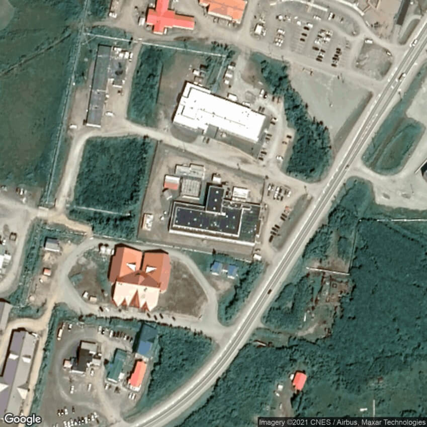
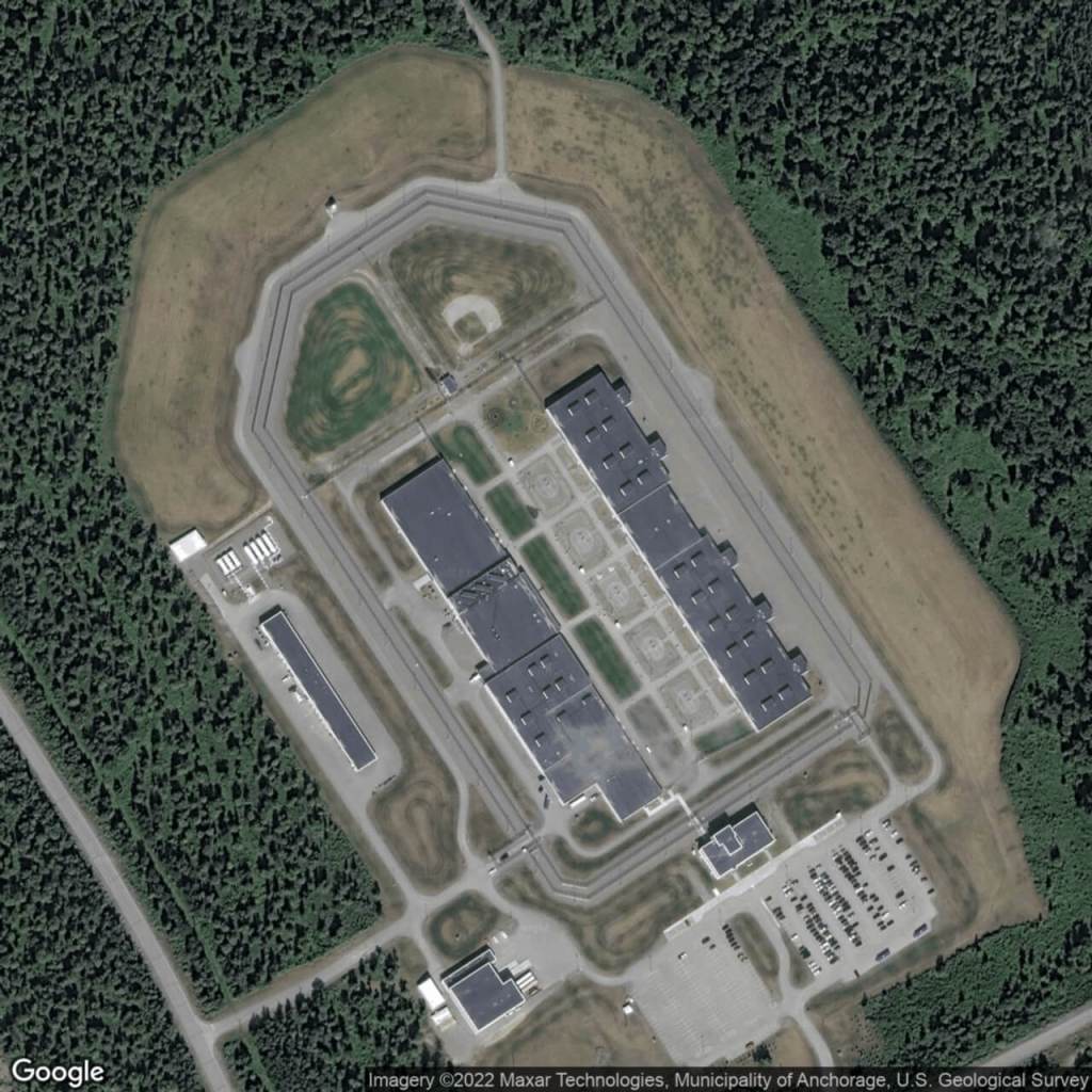
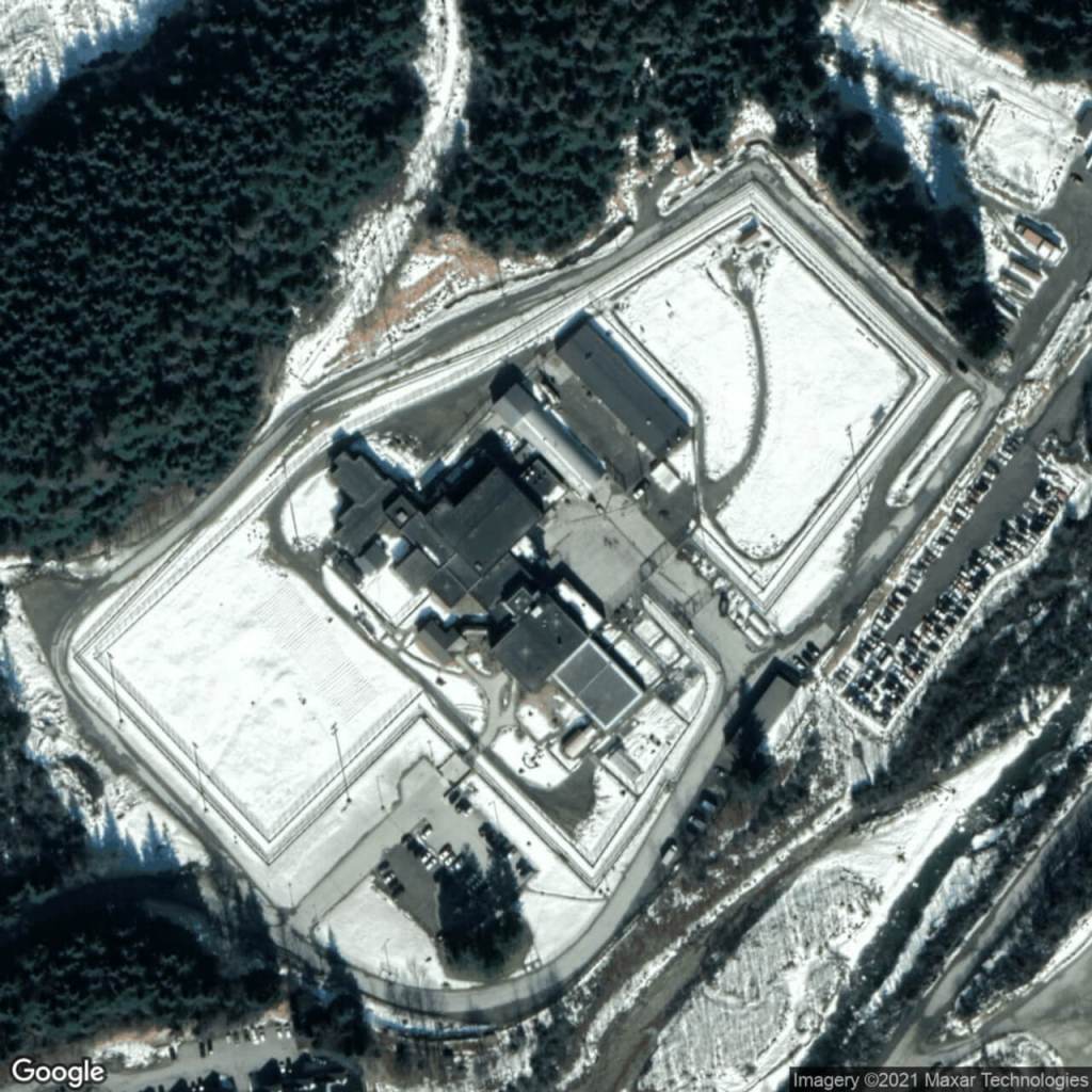
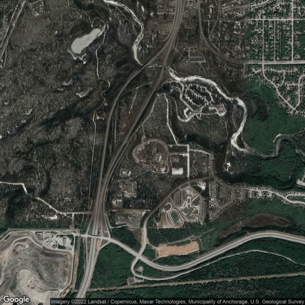
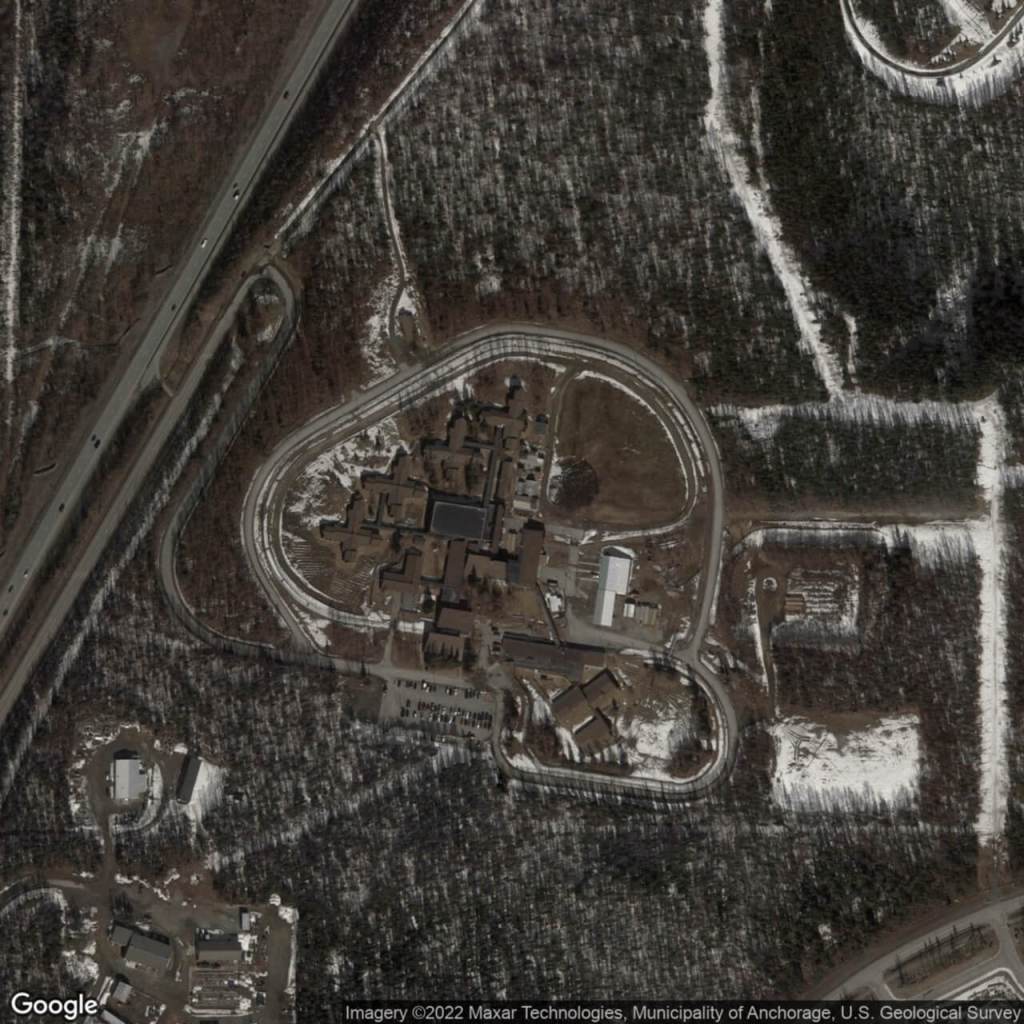
Hiland Mountain Correctional CenterMat-Su Pre-Trial FacilityWildwood Correctional Center
Arizona
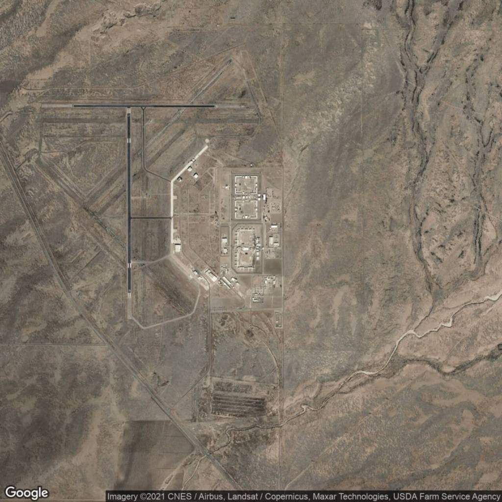
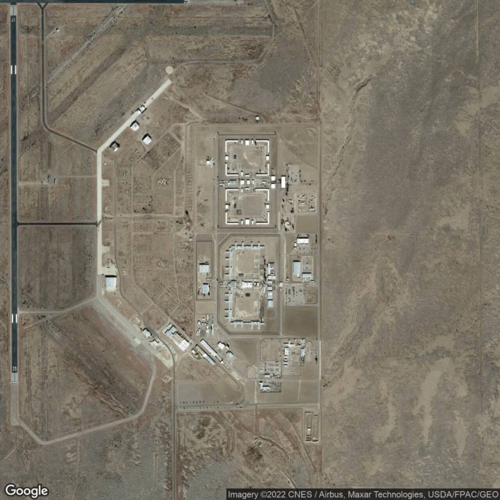
Arizona State Prison Complex – DouglasArizona State Prison Complex – Perryville
Arizona State Prison Complex – FlorenceArizona State Prison Complex – Tucson
Arizona State Prison Complex – Lewis
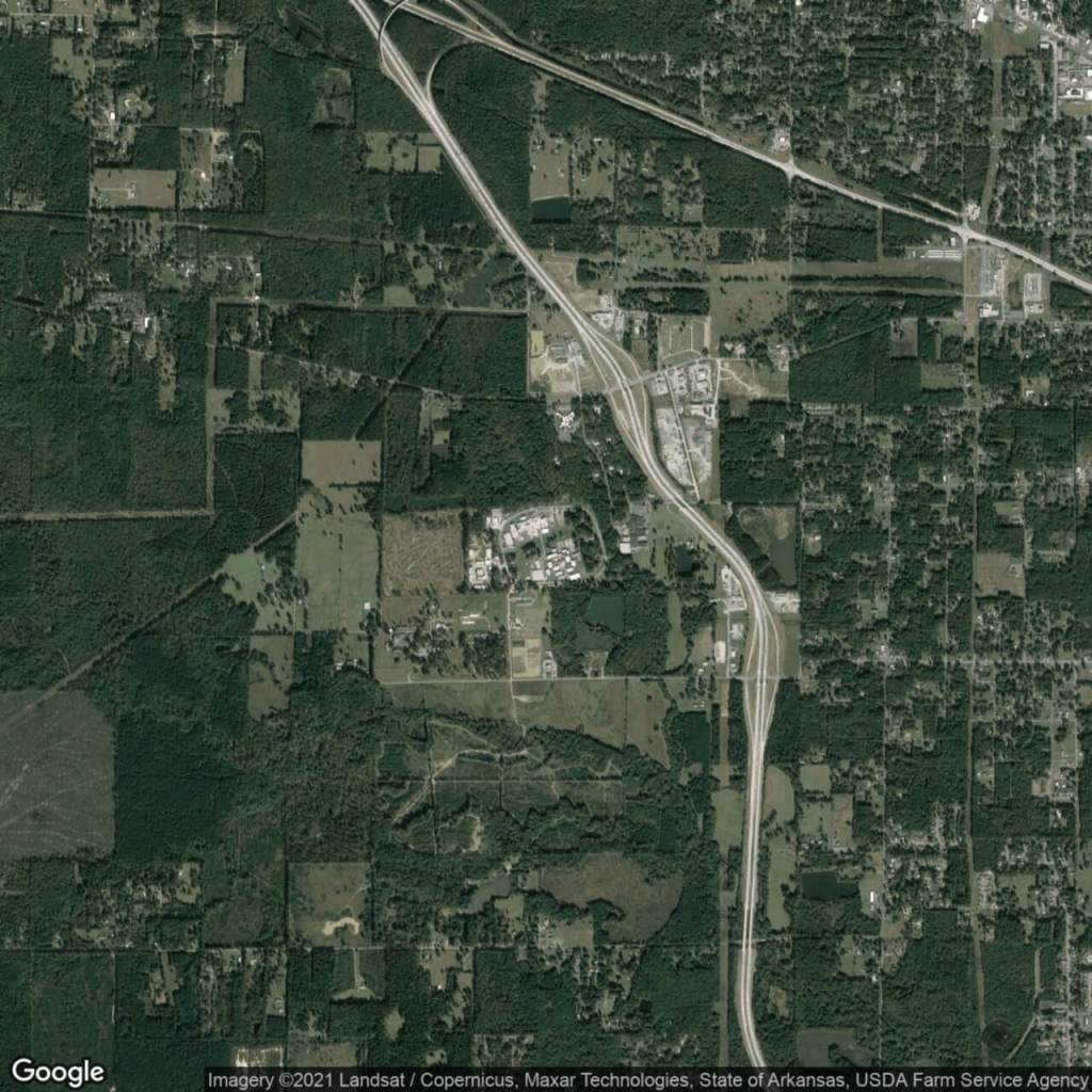
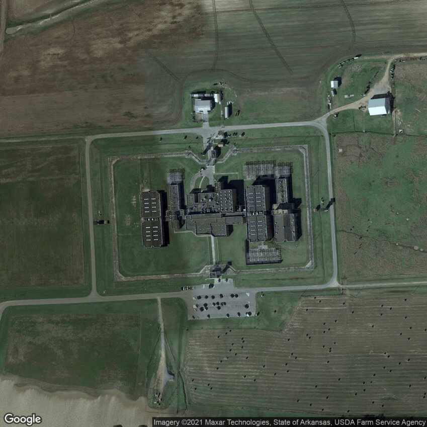
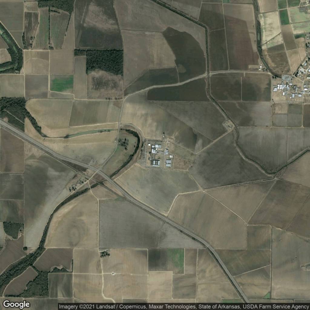
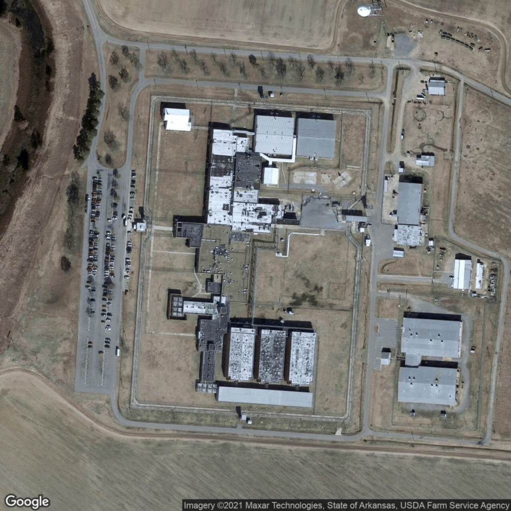
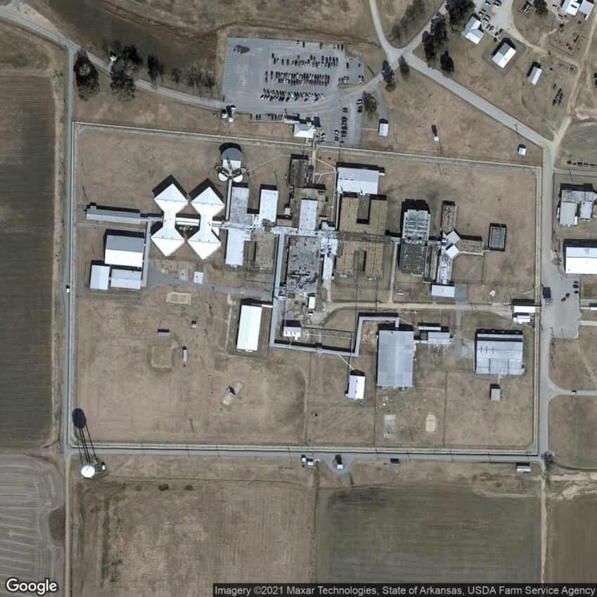
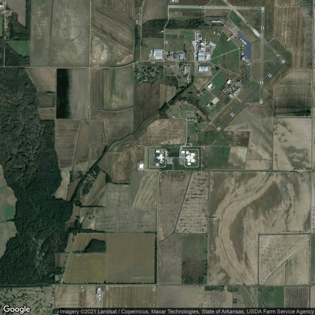
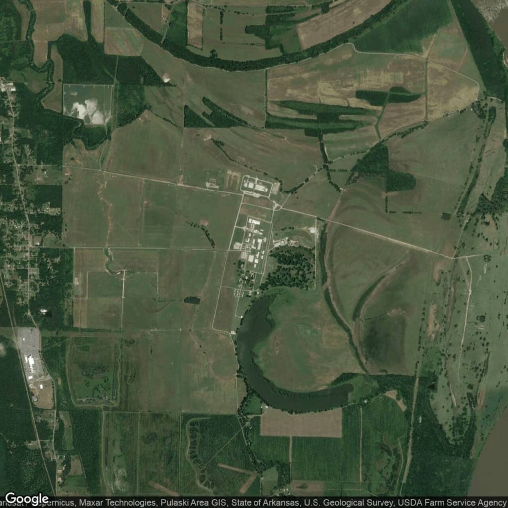
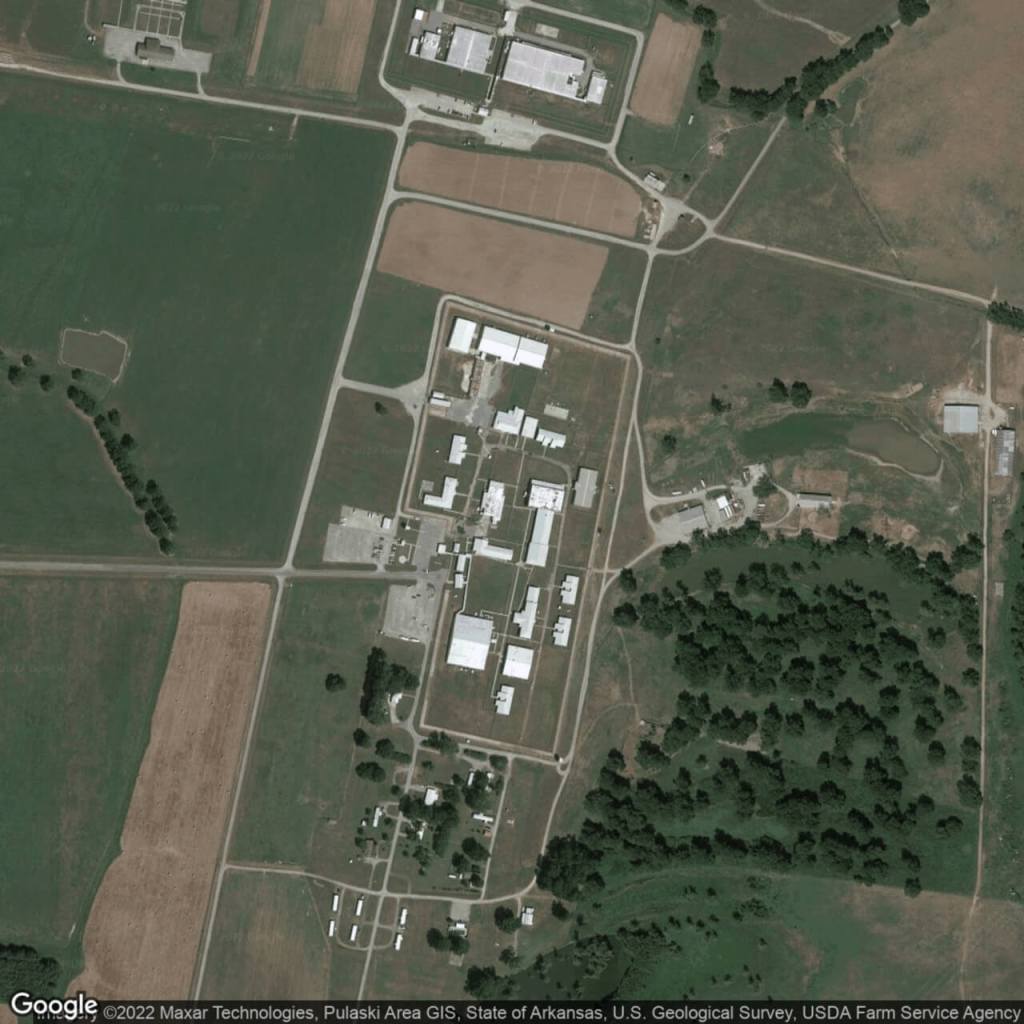
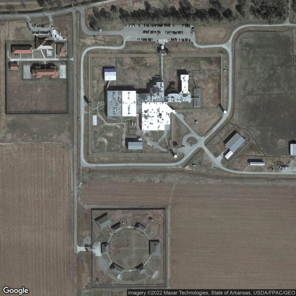
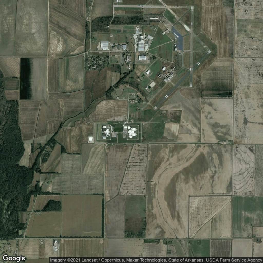
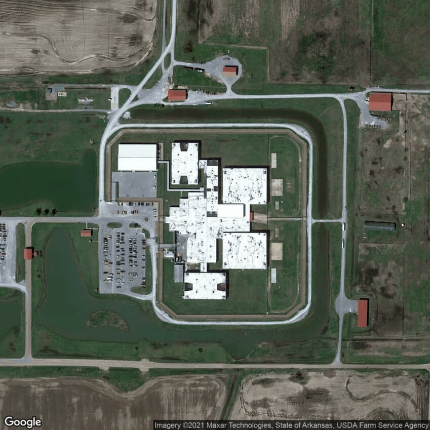
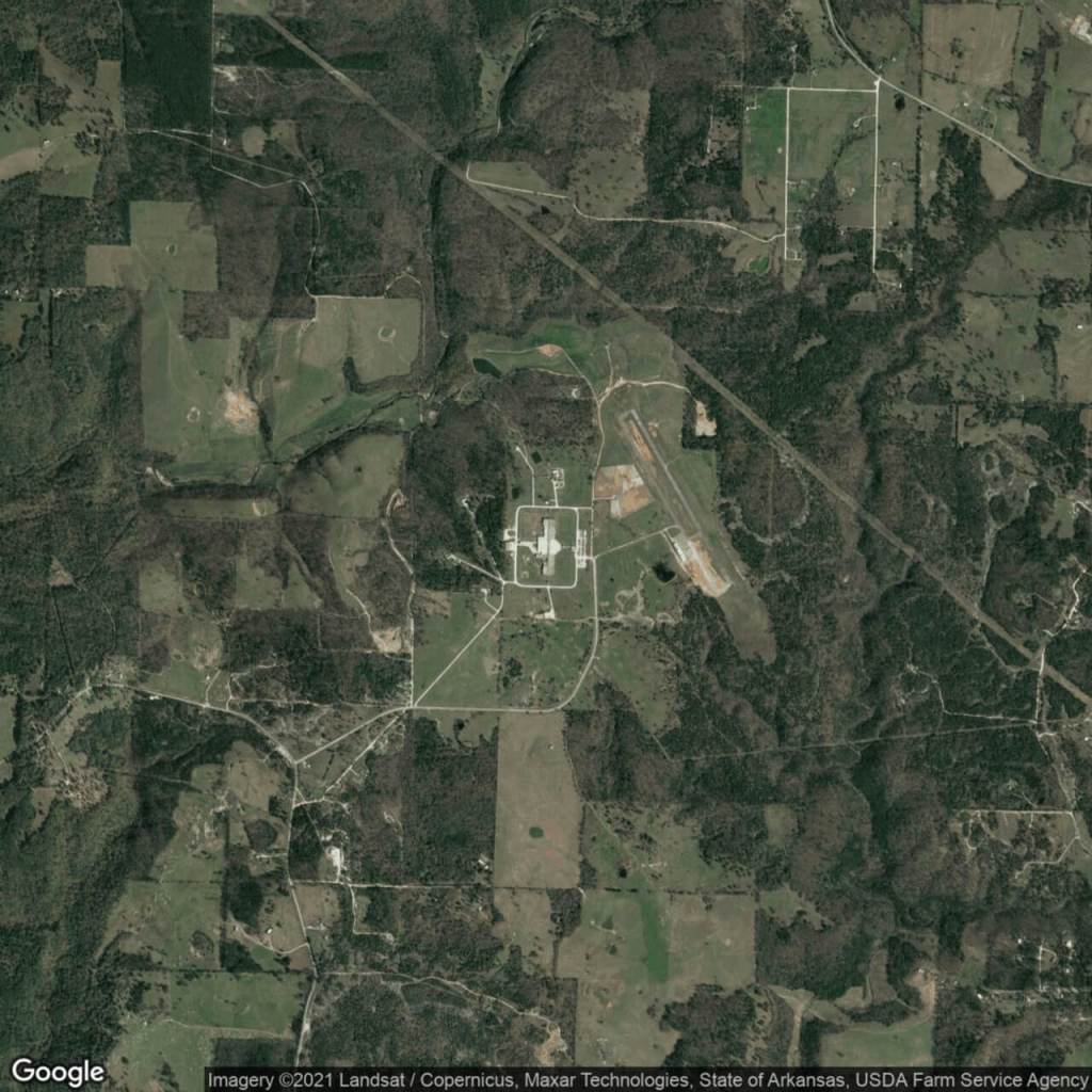
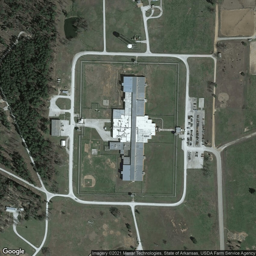
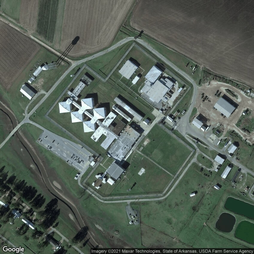
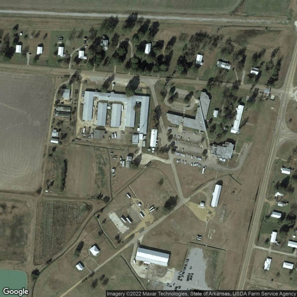
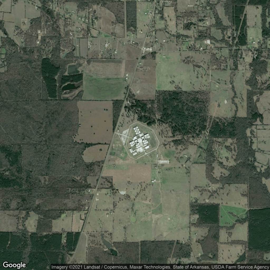
Arkansas
Barbara Ester UnitEast Arkansas Regional UnitMaximum Security UnitNorthwest Arkansas Community Correction CenterVarner Unit
Cummins UnitEast Central Arkansas Corrections CenterMcPherson Women’s UnitOuachita River UnitWrightsville Unit
Delta Regional UnitGrimes UnitNorth Central UnitTucker Unit
California
Avenal State PrisonCalifornia Health Care FacilityCalifornia Medical FacilityCalifornia State Prison – SolanoDeuel Vocational InstitutionPelican Bay State PrisonSan Quentin State Prison
California City Correctional FacilityCalifornia Institution for MenCalifornia State Prison – CorcoranCalifornia Substance Abuse Treatment Facility and State Prison Folsom State PrisonRichard J. Donovan Correctional FacilityValley State Prison
California Correctional CenterCalifornia Institution for WomenCalifornia State Prison – Los AngelesCentral California Women’s FacilityMule Creek State PrisonSalinas Valley State Prison
Colorado
Arkansas Valley CorrectionalCentennial Correctional FacilityColorado Territorial Correctional FacilityFour Mile Correctional FacilityLimon Correctional FacilitySkyline Correctional Center
Buena Vista Correctional FacilityColorado State PenitentiaryDenver Women’s Correctional FacilityLa Vista Correctional FacilitySan Carlos Correctional FacilityTrinidad Correctional Facility
Baylor Women’s Correctional InstitutionJames T Vaughn Correctional Center
Central Violation of Probation CenterSussex Community Corrections Center
Hazel D. Plant Women’s Treatment Center
Florida
Apalachee Correctional InstitutionCalhoun Work CampFlorida State Prison West UnitHamilton Work CampJefferson Correctional InstitutionLowell Correctional InstitutionNew River Correctional InstitutionPutnam Correctional InstitutionSumter Work Camp
Avon Park Work CampColumbia Work CampFort Meyers Work CampHardee Correctional InstitutionLancaster Work CampMartin Correctional InstitutionOkaloosa Correctional InstitutionRMC Work CampSuwannee Correctional Institution
Baker Work CampDesoto Work CampGraceville Work CampJackson Work CampLawtey Correctional InstitutionMayo Correctional InstitutionOkeechobee Correctional Institution Work CampSanta Rosa Work Camp
Georgia
Albany Transitional CenterAtlanta Transitional CenterAutry State PrisonBaldwin State PrisonC. H. Colwell Detention Center Charles D. Hudson Transfer CenterCoffee Correctional FacilityDooly State PrisonGeorgia Diagnostic and Classification State PrisonHays State PrisonLee State PrisonMetro Reentry FacilityPaulding Probation Detention CenterSmith State PrisonTurnerWare State PrisonWilcox State Prison
Appling Integrated Treatment FacilityAugusta State Medical PrisonBacon Probation Detention CenterBleckley Probation DetentionCalhoun State PrisonClayton Transitional CenterCold Springs Correctional Unit #10Emanuel Probation Detention CenterGeorgia State PrisonJenkins Correctional FacilityMacon State PrisonMontgomery State PrisonPulaski State PrisonSmith Transitional CenterValdosta State PrisonWest Central CenterWomen’s Detention Center
Arrendale State PrisonAugusta Transitional CenterBainbridge Substance Abuse CenterBurruss Correctional Training CenterCentral State PrisonCoastal State PrisonColumbus Transitional CenterEmanuel Women’s FacilityHancock State PrisonJohnson State PrisonMcEver Probation Detention CenterPatten Probation Detention CenterRogers State PrisonTreutlen Probation Detention CenterValdosta Transitional CenterWheeler Correctional Facility
Hawaii
Kauai Community Correctional CenterWomen’s Community Correctional Center
Kulani Correctional Facility
Waiawa Correctional Facility
Idaho
East Boise Community Work CenterIdaho State Correctional CenterNorth Idaho Correctional InstitutionSouth Idaho Correctional Institution
Idaho Correctional Institution – OrofinoIdaho State Correctional InstitutionPocatello Women’s Correctional CenterSt. Anthony Work Camp
Idaho Falls Community Reentry CenterNampa Community Re-Entry CenterSouth Boise Women’s Correctional Center
Illinois
Big Muddy River Correctional CenterDecatur Correctional CenterEast Moline Correctional CenterIllinois River Correctional FacilityLawrence Correctional CenterMenard Medium Security UnitPontiac Correctional centerSouthwestern Illinois Correctional CenterVandalia Correctional Center
Boston Pre-Release CenterMCI – FraminghamPondville Correctional Center
MASAC at PlymouthNorth Central Correctional InstituteSouth Middlesex Correctional Center
Massachusetts Treatment CenterOld Colony Correctional Center
Michigan
Alger Correctional FacilityCentral Michigan Correctional FacilityG Robert Cotton Correctional FacilityMacomb Correctional FacilityNewberry Correctional FacilityWomen’s Huron Valley Correctional Facility
Bellamy Creek Correctional FacilityCharles Egeler Reception and Guidance CenterGus Harrison Correctional FacilityMarquette Branch PrisonParnall Correctional Facility
Center for Forensic PsychiatryCooper Street Correctional FacilityIonia Correctional FacilityMuskegon Correctional FacilityRichard A Handlon Correctional Facility
MCF – Red Wing Adult and Red Wing JuvenileMCF – TogoMinnesota Sex Offender Program – Moose Lake
Mississippi
Central Mississippi Correctional Facility
Mississippi State Penitentiary
South Mississippi Correctional Institution
Missouri
Algoa Correctional CenterCremer Therapeutic Community CenterJefferson City Correctional FacilityMissouri Eastern Correctional CenterPotosi Correctional CenterSt. Joseph Community Supervision CenterWomen’s Eastern Reception, Diagnostic, and Correctional Center
Boonville Correctional FacilityFarmington Correctional CenterKennett Community Supervision CenterMoberly Correctional FacilitySouth Central Correctional CenterTipton Correctional Center
Chillicothe Correctional CenterFulton Reception and Diagnostic FacilityMaryville Treatment CenterOzark Correctional CenterSoutheast Correctional CenterWestern Missouri Correctional Center
Montana
Montana State Prison
Montana Women’s Prison
Nebraska
Community Corrections Center OmahaTecumseh State Correctional Institution
Nebraska State PenitentiaryWork Ethic Camp
Omaha Correctional Center
Nevada
Jean Conservation CampSouthern Desert Correctional FacilityStewart Conservation Camp
Lovelock Correctional CenterThree Lakes Valley Conservation and Boot Camp
Charles E Johnson Correctional CenterHoward Mc Leod Correctional CenterJess Dunn Correctional CenterMabel Bassett Correctional CenterOklahoma State Reformatory
Clara Waters Community Corrections CenterJackie Brannon Correctional CenterJohn H Lilley Correctional CenterMack Alford Correctional CenterWilliam S Key Correctional Center
Dr. Eddie Warrior Correctional CenterJames Crabtree Correctional CenterLexington Assessment and Reception FacilityNortheast Oklahoma Correctional Center
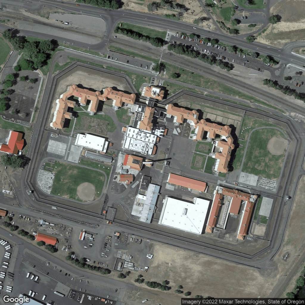
Oregon
Coffee Creek Correctional FacilityEastern Oregon Correctional InstitutionOregon State PenitentiaryShutter Creek Correctional InstitutionTwo Rivers Correctional Institution
Columbia River Correctional InstitutionMill Creek Correctional FacilityPowder River Correctional FacilitySnake River Correctional Center
Bledsoe County Correctional ComplexNorthwest Correctional Complex
Morgan County Correctional ComplexTurney Center Industrial Complex
Northeast Correctional Complex
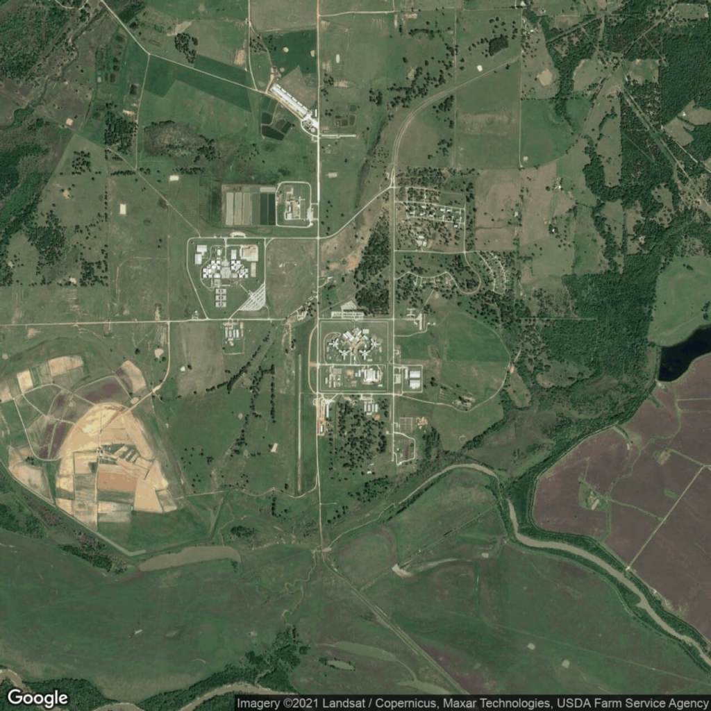
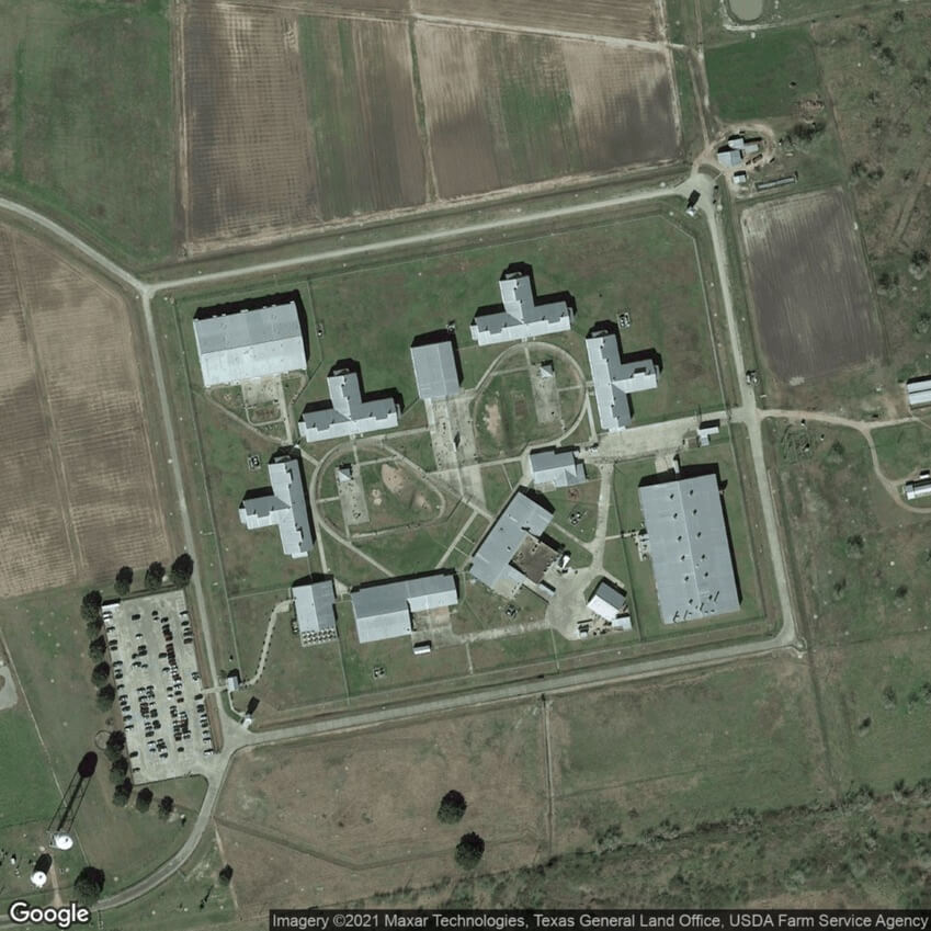
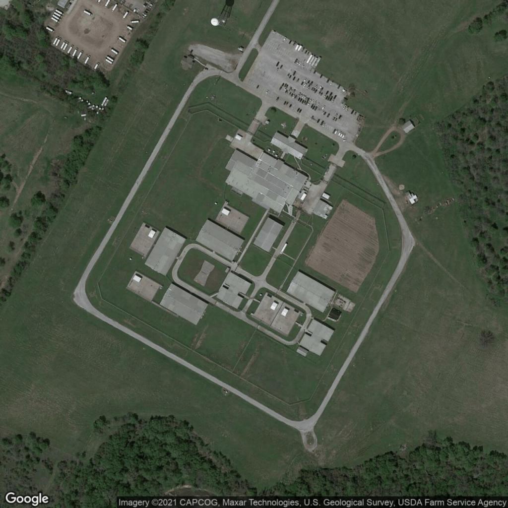
Texas
Allred PrisonBriscoe PrisonClemens PrisonConnally PrisonDalhart PrisonEastham Prison and Trusty CampFerguson PrisonGarza East Transfer FacilityGlossbrenner PrisonGurney Transfer FacilityHavins Pre-Release FacilityHobby PrisonHughes PrisonJester III Unit – Trusty CampLeBlanc Pre-Release FacilityLuther Prison and Trusty CampMcConnell PrisonMontford UnitNeal PrisonPlane State JailRamsey PrisonSan Saba Transfer FacilityScott PrisonSmith UnitStringfellow PrisonTorres UnitVance UnitWoodman State Jail
Beto PrisonByrd Diagnostic Intake FacilityCoffield UnitCotulla Transfer FacilityDarrington UnitEllis PrisonFormby State JailGarza West Transfer FacilityGoodman Transfer FacilityHalbert UnitHenley State JailHodge UnitHutchins State JailJohnston SAFPFLewis PrisonLynaugh PrisonMichael State PrisonMountain View PrisonNey State JailPolunsky PrisonRoach UnitSanchez State JailSegovia Pre-Release FacilityStevenson PrisonTelford UnitTravis County UnitWallace UnitWynne Prison
Boyd Correctional UnitChoice Moore Transfer FacilityCole State JailCrain UnitDuncan Geriatric FacilityEstelle PrisonFort Stockton Transfer FacilityGist State JailGoree Prison and Trusty CampHamilton Pre-Release FacilityHilltop UnitHolliday Transfer FacilityJester I UnitJordan PrisonLopez State JailMarlin UnitMiddleton Transfer FacilityMurray PrisonPack Prison and Trustee CampPowledge PrisonRobertson PrisonSayle SAFPFSkyview Psychiatric FacilityStiles UnitTerrell PrisonTulia Transfer FacilityWheeler State jail
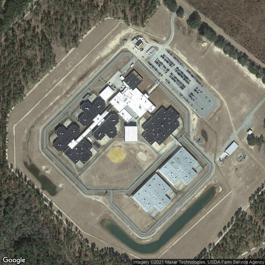
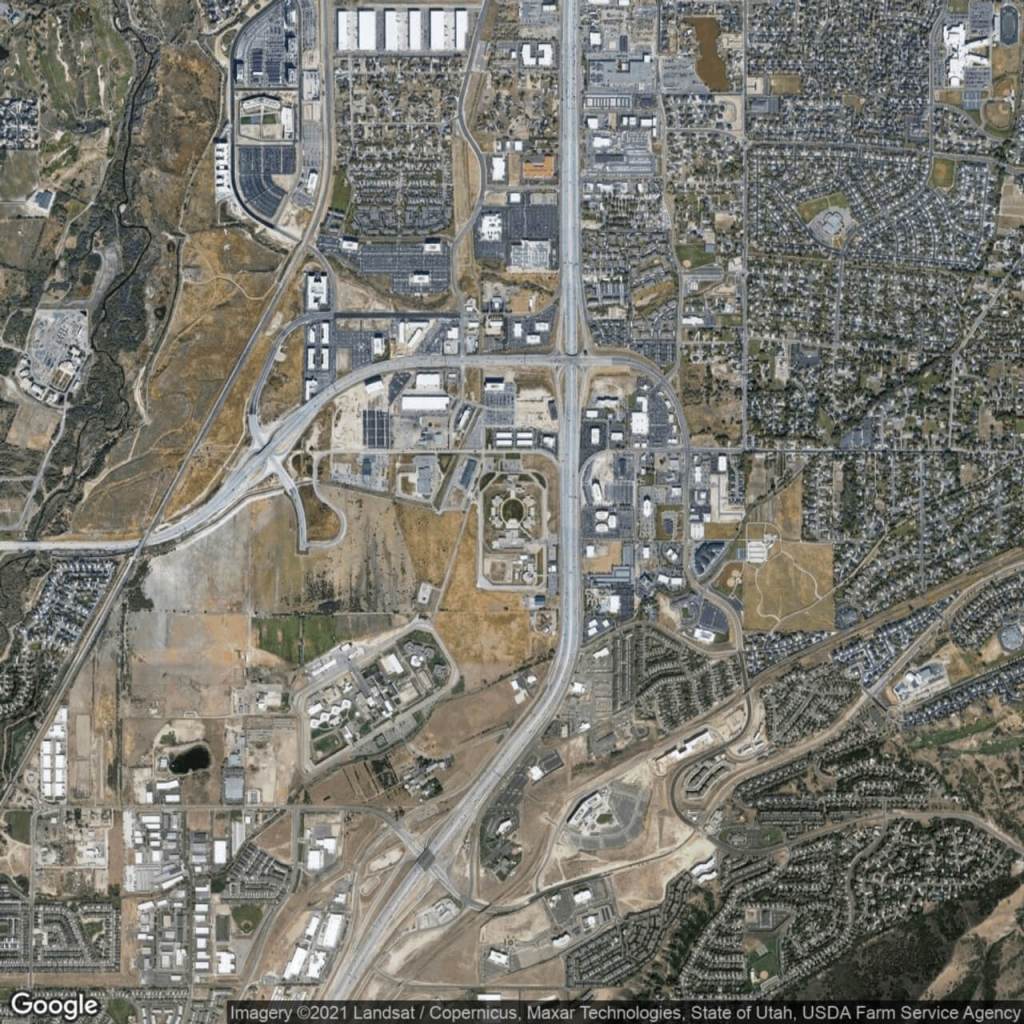
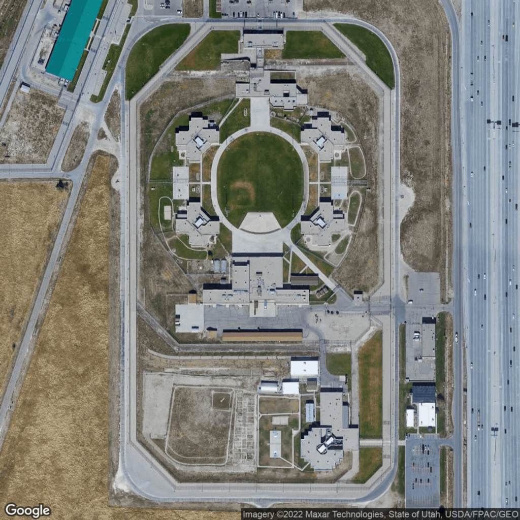
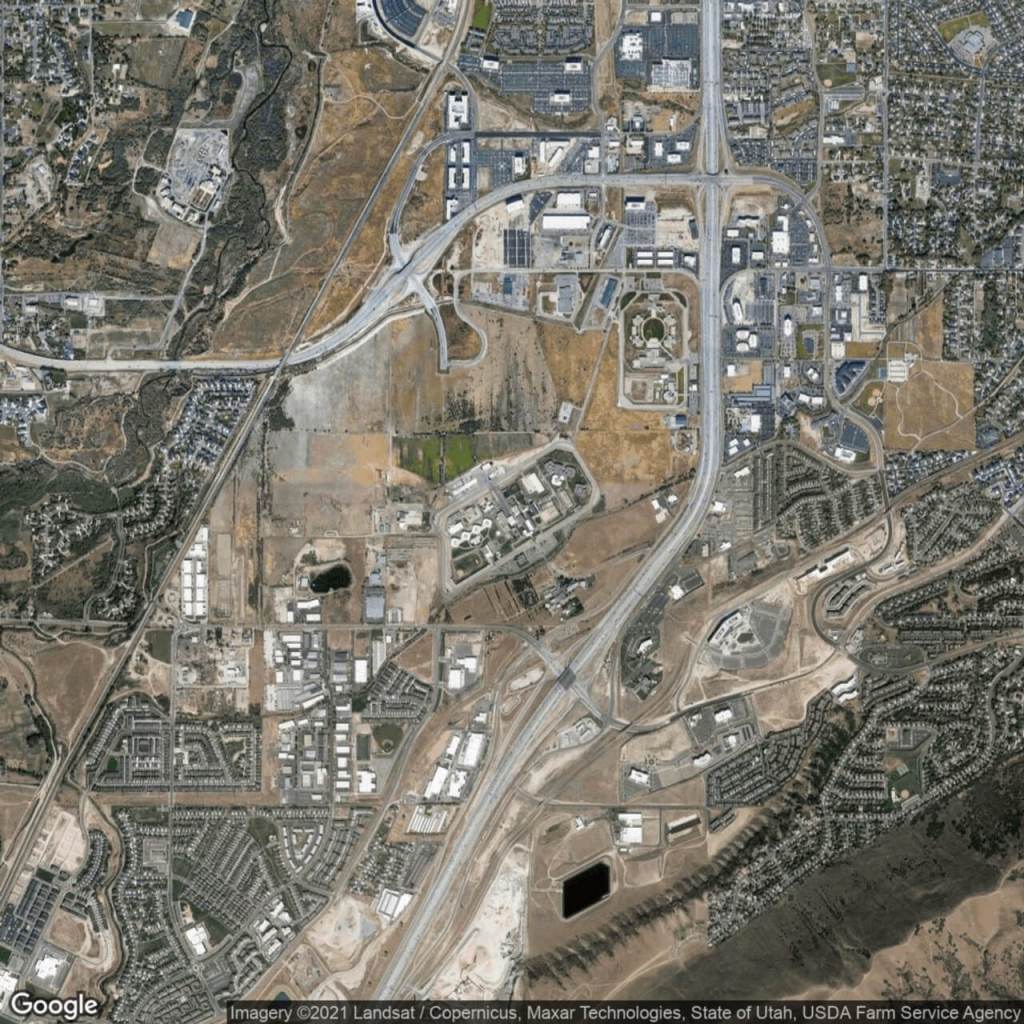
Utah
Utah State Prison – Draper – North Complex
Utah State Prison – Draper – South Complex
Vermont
Chittenden Regional Correctional Facility
Northwest State Correctional Facility
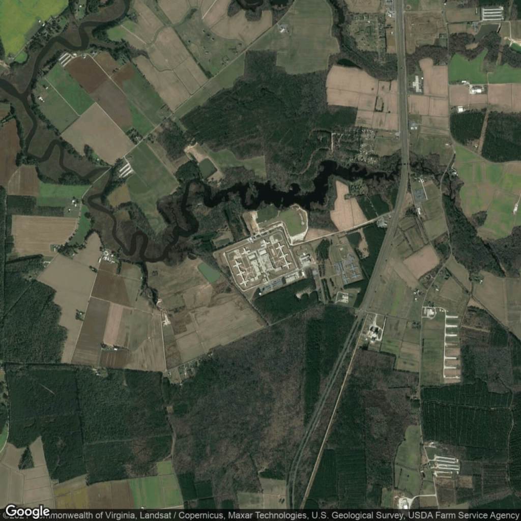
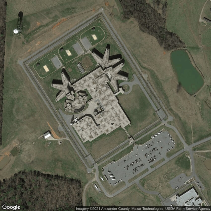
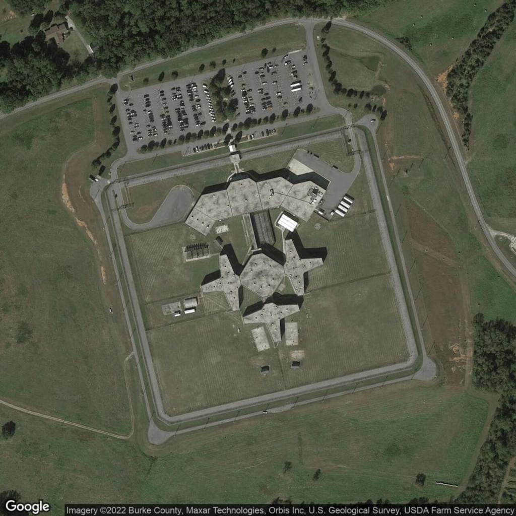
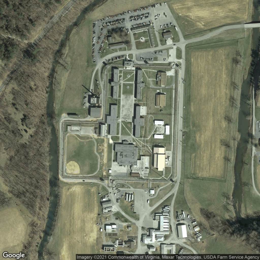
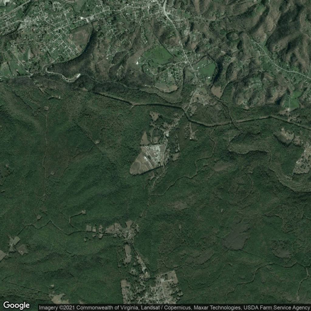
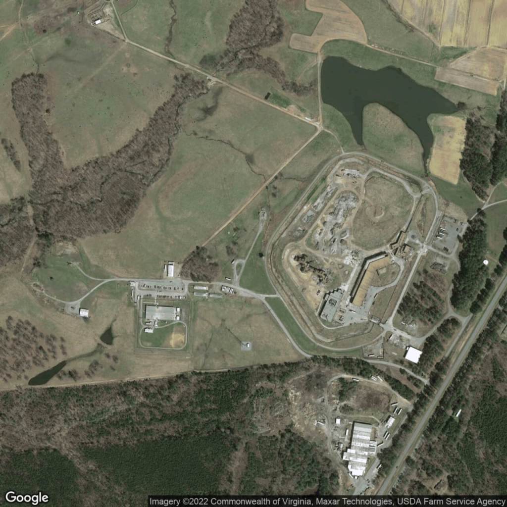
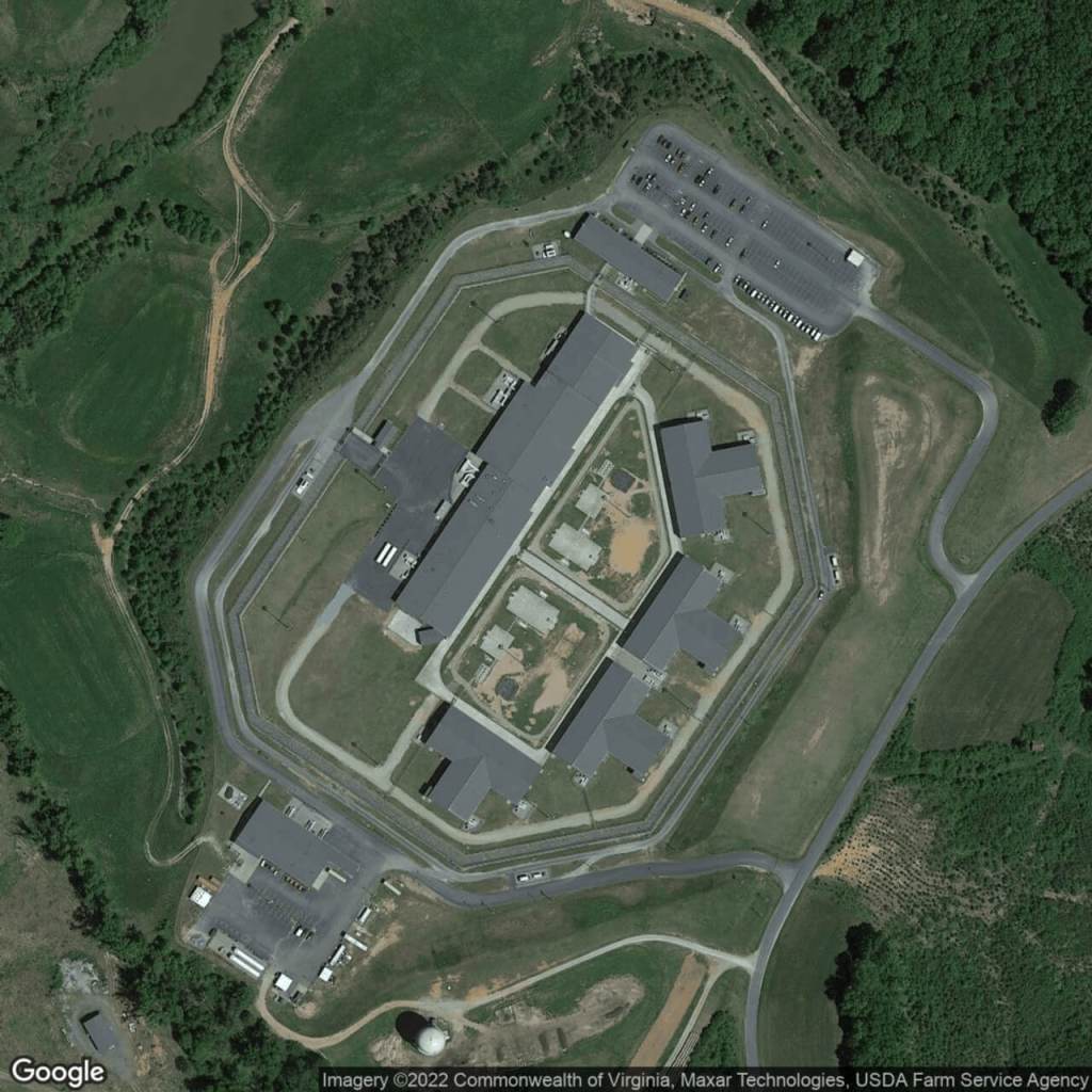
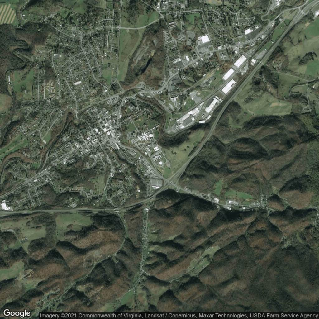
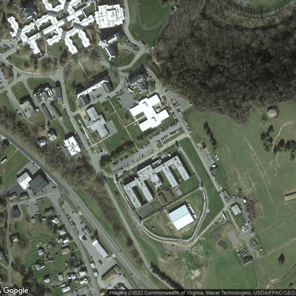
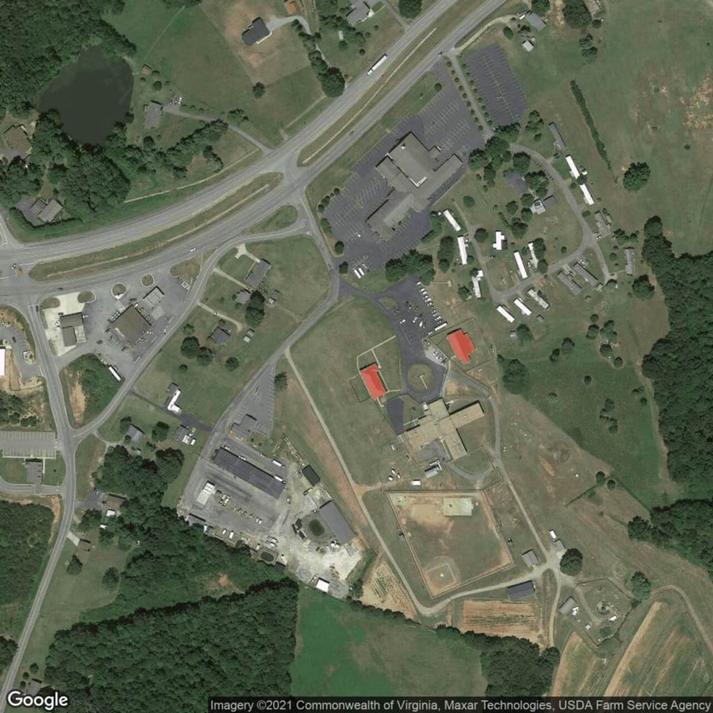
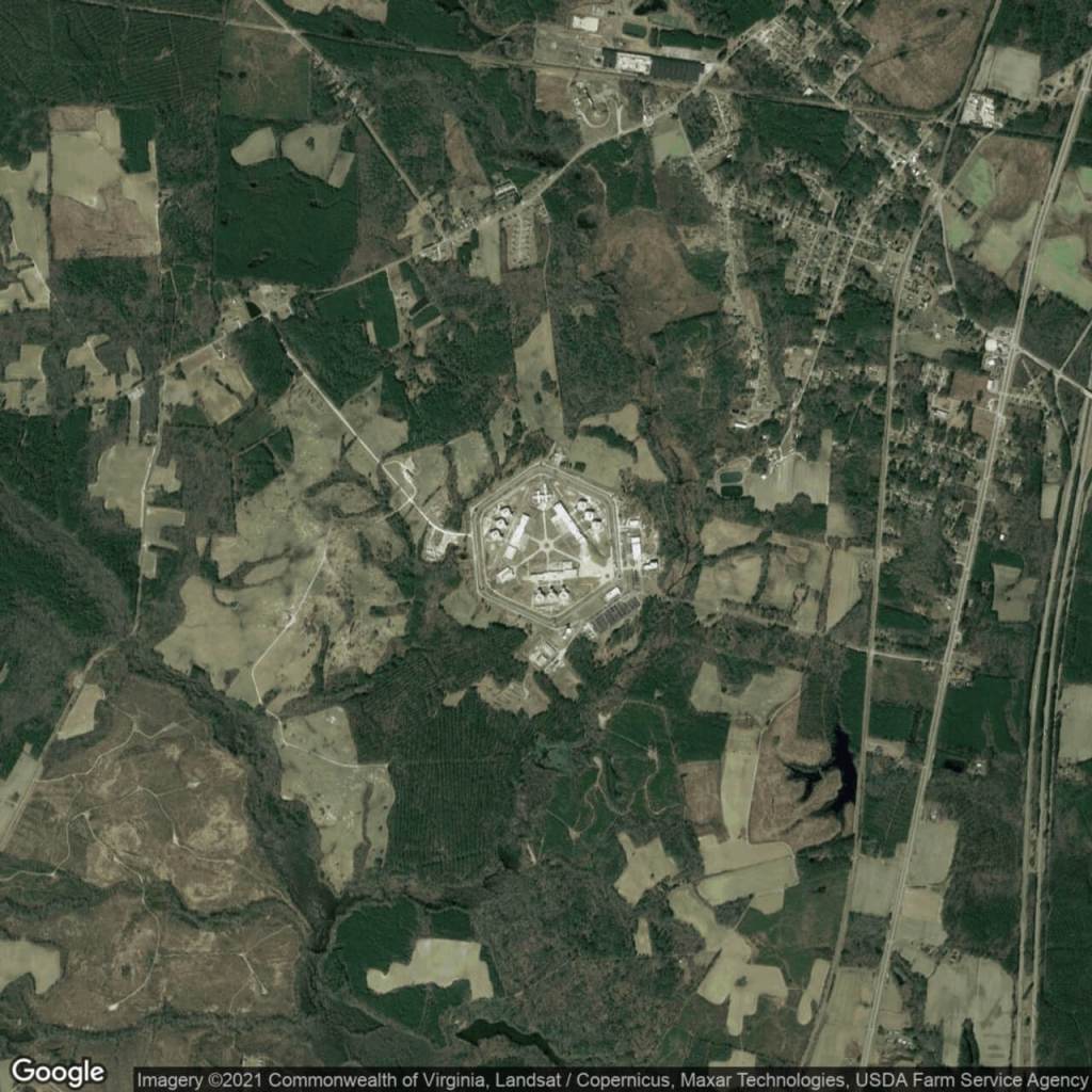
Virginia
Appalachian Detention And Diversion CenterBland Correctional CenterCaroline Correctional Unit #2Dillwyn Correctional CenterHalifax Correctional Unit #23Lunenburg Correctional CenterRed Onion State PrisonWise Correctional Unit
Augusta Correctional CenterBrunswick Work CenterCoffeewood Correctional CenterGreen Rock Correctional CenterHarrisonburg Men’s Diversion CenterMarion Correctional Treatment CenterPatrick Henry Correctional Unit #28Rustburg Correctional Unit #9
Baskerville Correctional CenterBuckingham Correctional CenterDeerfield Correctional CenterGreensville Correctional CenterHaynesville Correctional CenterNottoway Correctional CenterPowhatan Reception and Classification CenterVirginia Correctional Center for Women
Cedar Creek Corrections CenterLarch Corrections CenterOlympic Corrections CenterWashington Corrections Center for Women
Clallam bay Corrections CenterMission Creek Corrections Center for WomenStafford Creek Corrections CenterWashington State Penitentiary
West Virginia
Beckley Correctional CenterLakin Correctional CenterSt. Mary’s Correctional Center
Denmar Correctional CenterMartinsburg Correctional Center
Huttonsville Correctional Center and JailPruntytown Correctional Center
Wisconsin
Black River Correctional CenterFalmbeau Correctional CenterGreen Bay Correctional InstitutionKenosha Correctional CenterMilwaukee Women’s Correctional CenterOregon Correctional CenterSanger B Powers Correctional CenterTaycheedah Correctional InstitutionWinnebago Correctional Center
Drug Abuse Correctional CenterFox Lake Correctional InstitutionJackson Correctional InstitutionMarshall E. Sherrer Correctional CenterNew Libson Correctional InstitutionOshkosh Correctional InstitutionSt. Croix Correctional CenterThompson Correctional Center
Flemers O. Chaney Correctional CenterGordon Correctional CenterJohn C. Burke Correctional CenterMcNaughton Correctional CenterOakhill Correctional InstitutionRobert E Ellsworth Correctional CenterStanley Correctional InstitutionWaupun Correctional Institution